WTas1
Site:
WTas1
Downloads:
Map
3D Model:
Description:
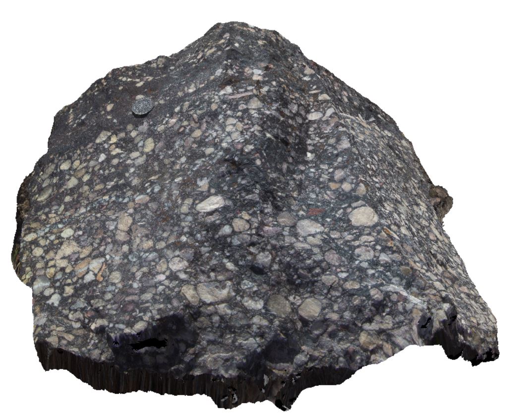
boulder of Owen conglomerate, Gormanston, Tas.
| Capture Date: | Undated |
| Latitude: | -42.07930000000 degrees |
| Longitude: | 145.59424000000 degrees |
| Elevation: | NA |
| Visualisation Type: | 3D |
| Location Accuracy: | 5 metres |
Keywords:
- conglomerate
| conglomerate | |
|---|---|
| Form Type: | bedded |
| Description: | conglomerate with rounded quartzite pebbles and cobbles in finer matrix. |
| Min Geological Age: | Early Ordovician |
| Max Geological Age: | Late Cambrian |
| Min Numerical Age: | 470.000 |
| Max Numerical Age: | 497.000 |
| Strat No: | 34165 |
| Supergroup: | Wurawina Supergroup |
| Group: | Owen Group |
| Subgroup: | |
| Formation: | |
| Member: | |
| Province: | Lachlan Orogen |