WTas12
Site:
WTas12
Downloads:
Map
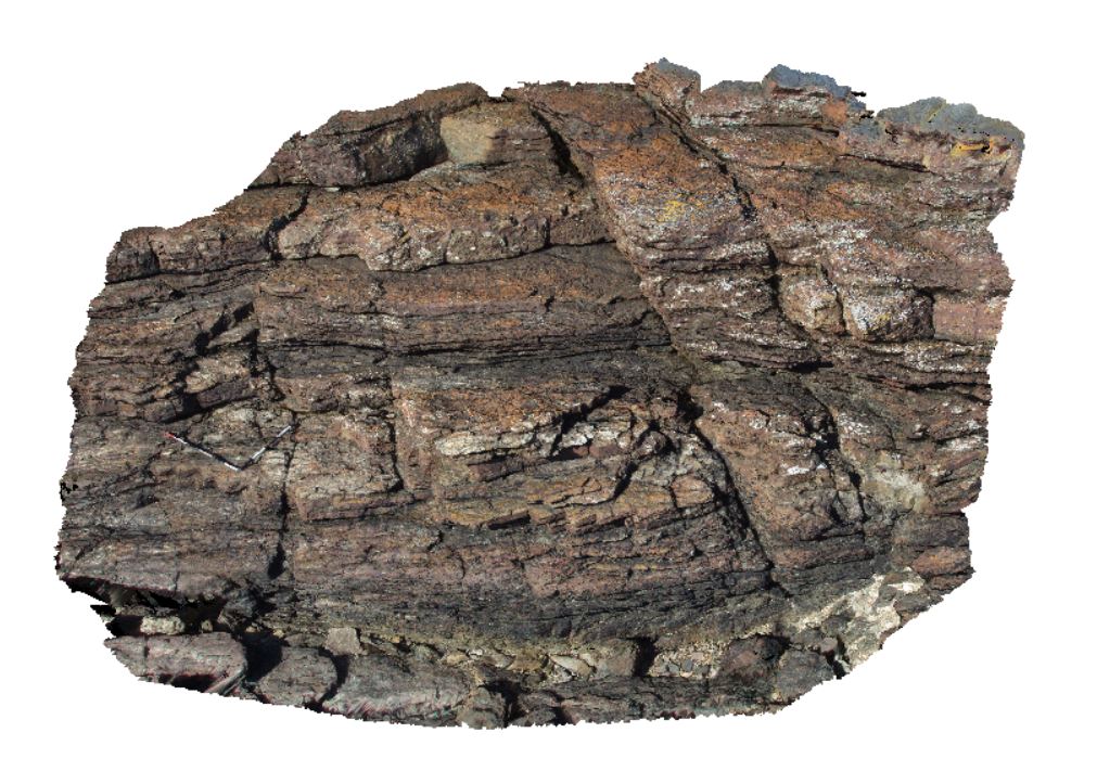
3D Model:
Description:
open folds in thinly bedded sandstone and siltstone. Granville Harbour, West Tasmania.
| Capture Date: | Undated |
| Latitude: | -41.80283000000 degrees |
| Longitude: | 145.02208000000 degrees |
| Elevation: | NA |
| Visualisation Type: | 3D |
| Location Accuracy: | 5 metres |
Keywords:
- fold
- open fold
- structure
| metasediment | |
|---|---|
| Form Type: | bedded |
| Description: | thinly bedded sandstone and siltstone |
| Min Geological Age: | Cryogenian |
| Max Geological Age: | Cryogenian |
| Min Numerical Age: | 690.000 |
| Max Numerical Age: | 708.000 |
| Strat No: | 14603 |
| Supergroup: | |
| Group: | Arthur Metamorphic Complex |
| Subgroup: | |
| Formation: | Oonah Formation |
| Member: | |
| Province: |