WTasFSP22
Site:
WTasFSP22
Downloads:
Map
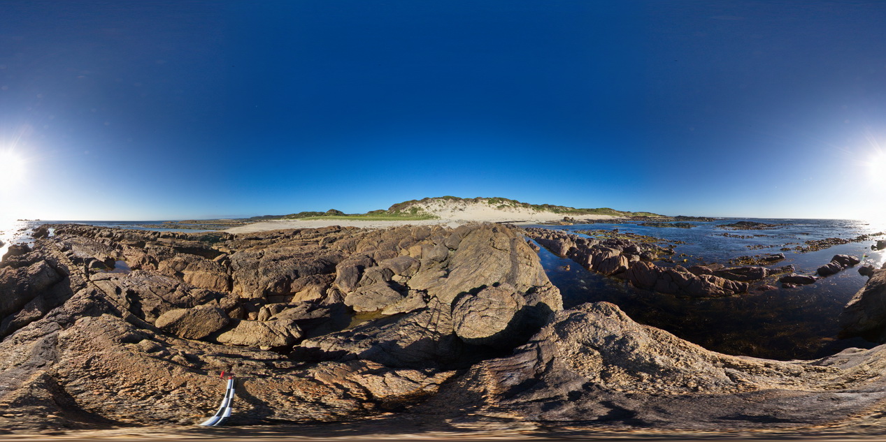
Description:
steeply dipping conglomerate beds at the base of the Ordovician, with carbonate units to the north. Granville Harbour, West Tasmania.
| Capture Date: | Undated |
| Latitude: | -41.77903000000 degrees |
| Longitude: | 145.00580000000 degrees |
| Elevation: | NA |
| Visualisation Type: | FSP |
| Location Accuracy: | 5 metres |
Keywords:
- fold
- structure
- conglomerate
| conglomerate | |
|---|---|
| Form Type: | bedded |
| Description: | moderately to steeply dipping quartz-rich pebbly / cobble sized conglomerate with thin beds of finer pebbles, coarse-grained sandstone. |
| Min Geological Age: | Ordovician |
| Max Geological Age: | Late Cambrian |
| Min Numerical Age: | 443.800 |
| Max Numerical Age: | 497.000 |
| Strat No: | 28821 |
| Supergroup: | |
| Group: | |
| Subgroup: | |
| Formation: | Mount Zeehan Conglomerate |
| Member: | |
| Province: |