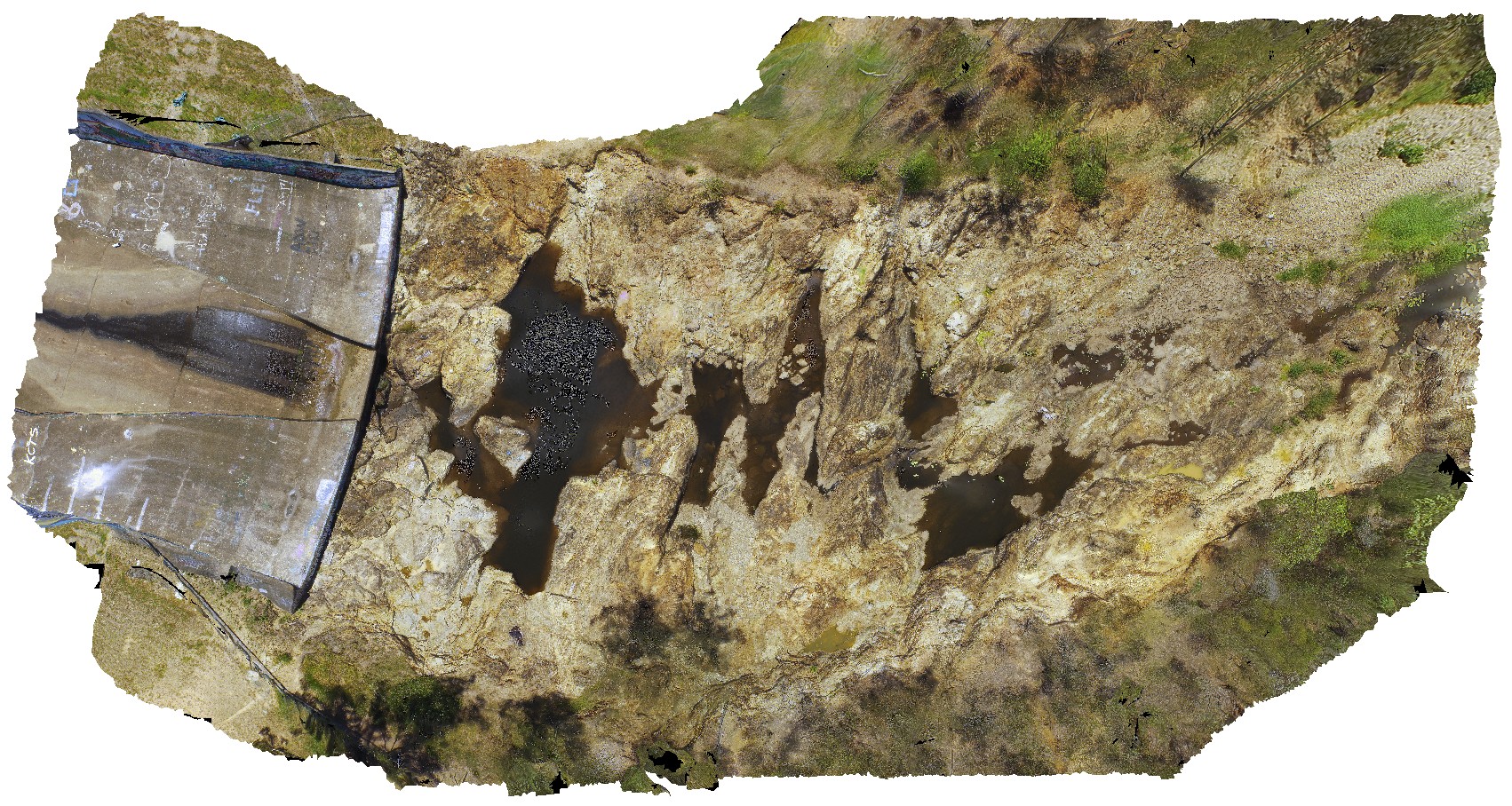
WhitesideUAV1
Site:
WhitesideUAV1
Downloads:
Map
3D Model:
Description:
exposed river channel and spill-way, showing the metavolcanics of the Kurwongbah beds. Lake Kurwongbah, QLD.
| Capture Date: | April 13, 2016, 3:37 p.m. |
| Latitude: | -27.25759700000 degrees |
| Longitude: | 152.95734300000 degrees |
| Elevation: | NA |
| Visualisation Type: | UAV |
| Location Accuracy: | 0 metres |
Keywords:
- metavolcanics
| phyllite | |
|---|---|
| Form Type: | bedded |
| Description: | Phyllite, slate, basic metavolcanics. |
| Min Geological Age: | Carboniferous |
| Max Geological Age: | Devonian |
| Min Numerical Age: | 298.900 |
| Max Numerical Age: | 419.200 |
| Strat No: | 25139 |
| Supergroup: | |
| Group: | |
| Subgroup: | |
| Formation: | Kurwongbah beds |
| Member: | |
| Province: | Wandilla Province |