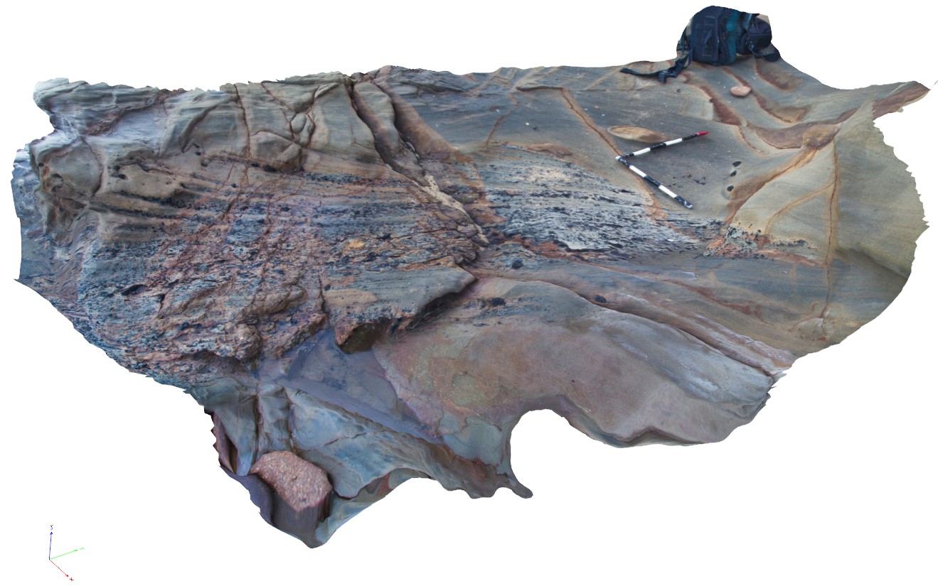
WreckBeach8
Site:
WreckBeach8

Downloads:
Map
3D Model:
Description:
exposed shore platform, showing a truncated layer containing cross beds and layers with coaly fragments. Wreck Beach, Vic.
| Capture Date: | June 14, 2016, 2:28 p.m. |
| Latitude: | -38.75654000000 degrees |
| Longitude: | 143.21471000000 degrees |
| Elevation: | NA |
| Visualisation Type: | 3D |
| Location Accuracy: | 0 metres |
Keywords:
- truncated bed
- coal
- cross bed
| sandstone | |
|---|---|
| Form Type: | bedded |
| Description: | Volcanilithic sandstone, siltstone, mudstone, mud-clast conglomerate, with feldspar and quartz grains, and coal: fine to medium grained, consolidated, well-bedded, cross-bedded; braided stream deposits. |
| Min Geological Age: | Albian |
| Max Geological Age: | Aptian |
| Min Numerical Age: | 97.000 |
| Max Numerical Age: | 125.000 |
| Strat No: | 6363 |
| Supergroup: | |
| Group: | Otway Group |
| Subgroup: | |
| Formation: | Eumeralla Formation |
| Member: | |
| Province: | Gippsland, Inner Otway, Morum, Nelson and Torquey Sub-Basins. |