YinnetharraUAV1
Site:
YinnetharraUAV1
Downloads:
Map
3D Model:
Description:
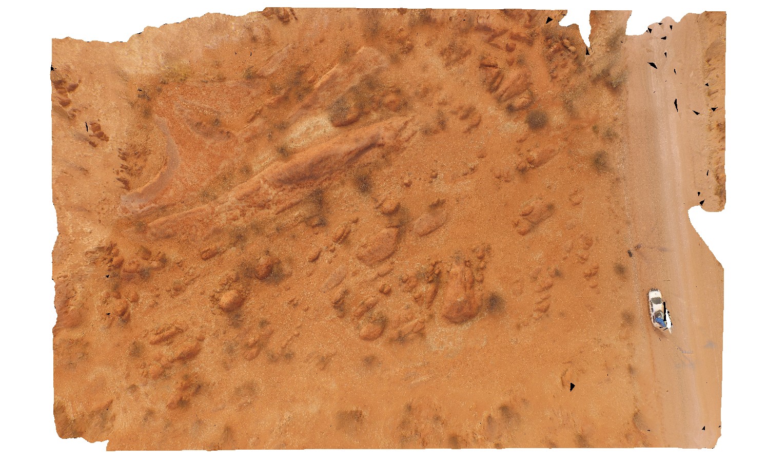
aerial view of typical outcrop of rounded granitic tors. North of Thirty Three River, Cobra-Dairy Creek Road, W.A.
| Capture Date: | May 27, 2016, noon |
| Latitude: | -24.51352090000 degrees |
| Longitude: | 116.24685660000 degrees |
| Elevation: | NA |
| Visualisation Type: | UAV |
| Location Accuracy: | 20 metres |
Keywords:
- granite
- outcrop
- granite tor
| granite | |
|---|---|
| Form Type: | pluton |
| Description: | Porphyritic and leucocratic muscovite-biotite-tourmaline-bearing granite and metagranite, and pegmatites |
| Min Geological Age: | Tonian |
| Max Geological Age: | Tonian |
| Min Numerical Age: | 954.000 |
| Max Numerical Age: | 995.000 |
| Strat No: | 73634 |
| Supergroup: | Thirty Three Supersuite |
| Group: | |
| Subgroup: | |
| Formation: | |
| Member: | |
| Province: | Gascoyne Province |