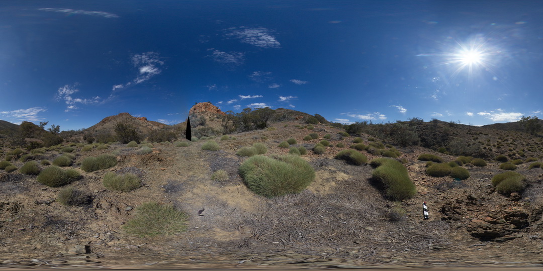
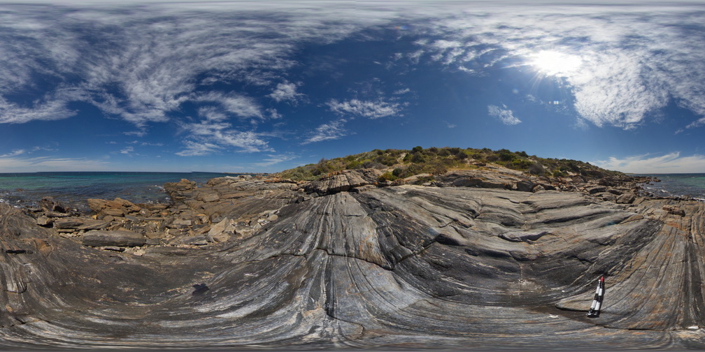
ArkaroolaFSP2 Map
 |
5 |
11/26/2015 2:07 p.m. |
FSP |
View of the Pinnacles outcrop, Arkaroola. Northern Flinders Ranges, S.A. |
0.00 |
-30.29601000000 |
139.31133000000 |
-9999.000 |
granite |
granite |
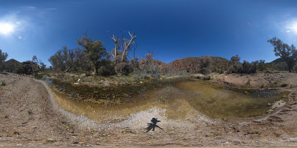
MallacootaGiga1 Map
 |
0 |
05/18/2015 2:01 p.m. |
GIGA |
location inferred from nearby images. Mallacoota, Vic. |
0.00 |
-37.57225000000 |
149.76472000000 |
-9999.000 |
|
|
LiptrapPole2 Map
 |
20 |
03/13/2015 9:25 a.m. |
3D |
wave cut platform showing steeply plunging chevron folding in finely bedded turbiditic sequence. Cape Liptrap, Vic. |
0.00 |
-38.90414711000 |
145.91743374000 |
0.000 |
structure, chevron folds |
turbidite |
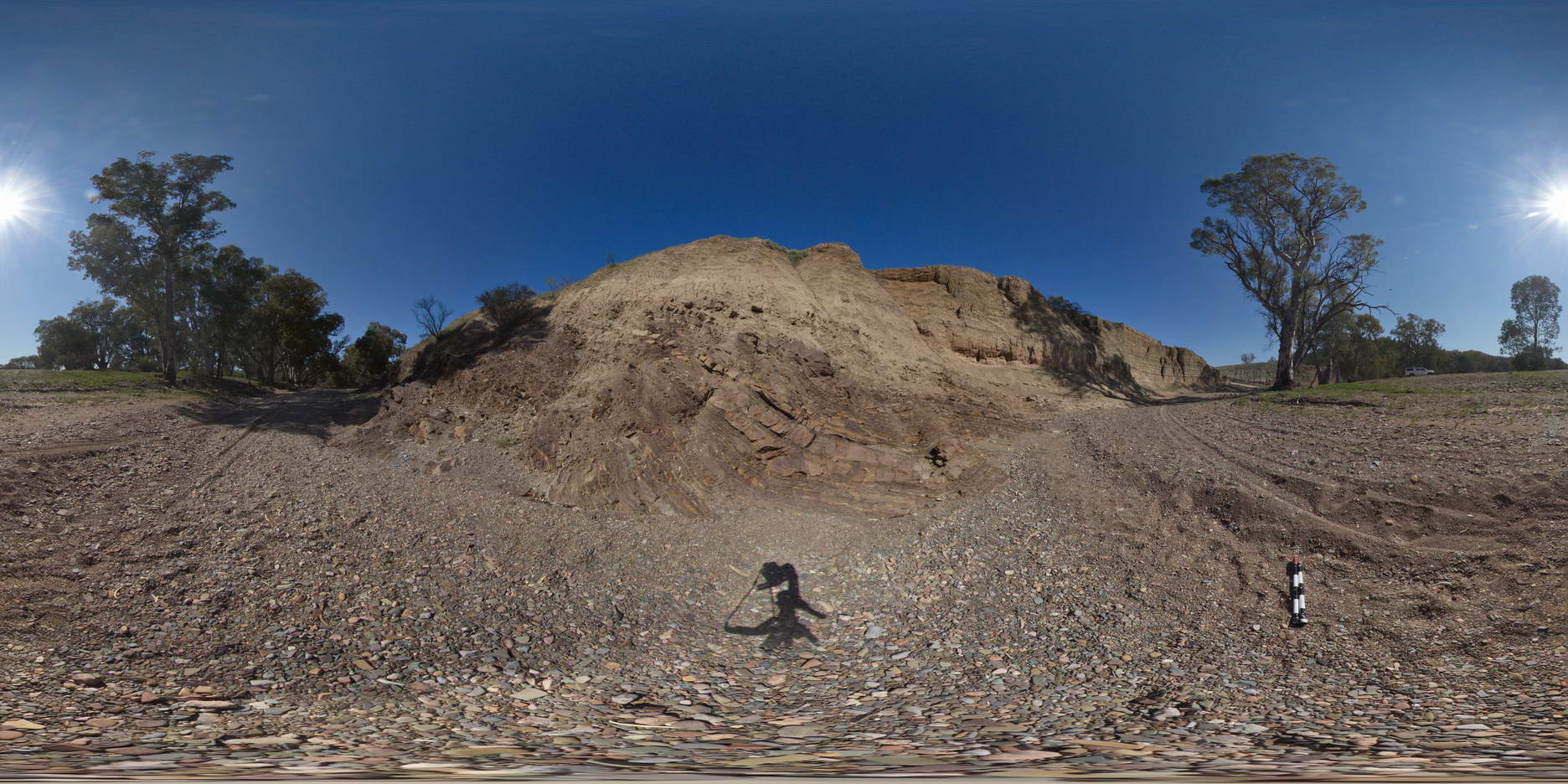
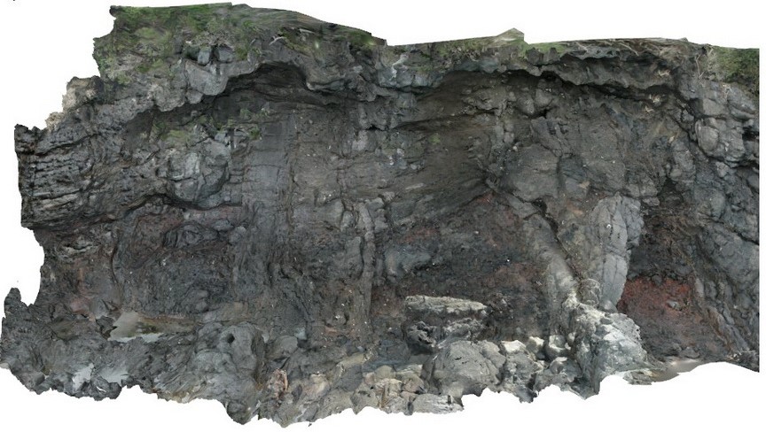
BrachinaFSP12 Map
 |
5 |
11/27/2015 11:52 a.m. |
FSP |
exposure of angular unconformity between the moderately dipping and openly folded Brachina Formation and overlying Quaternary sediments. Brachina Gorge. S.A. |
0.00 |
-31.33824000000 |
138.60666000000 |
-9999.000 |
angular unconformity |
siltstone, siltstone |
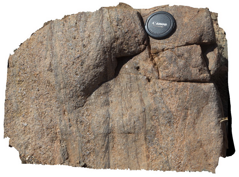
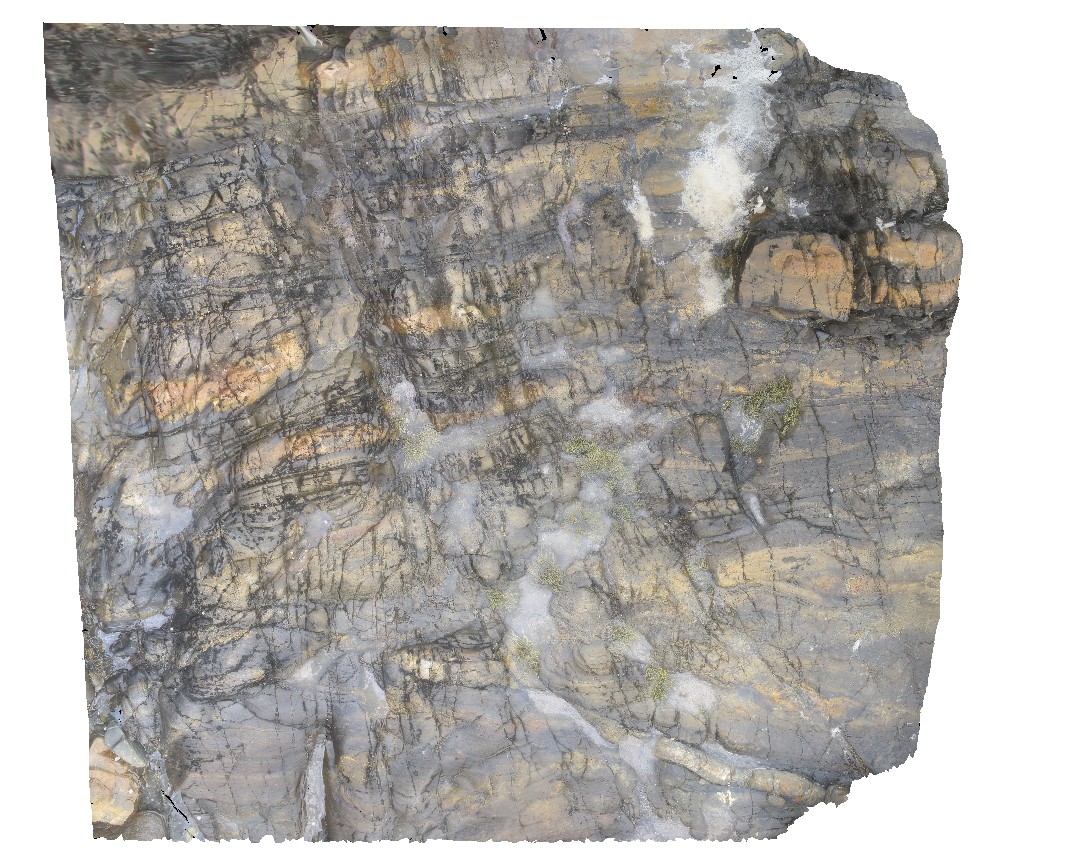
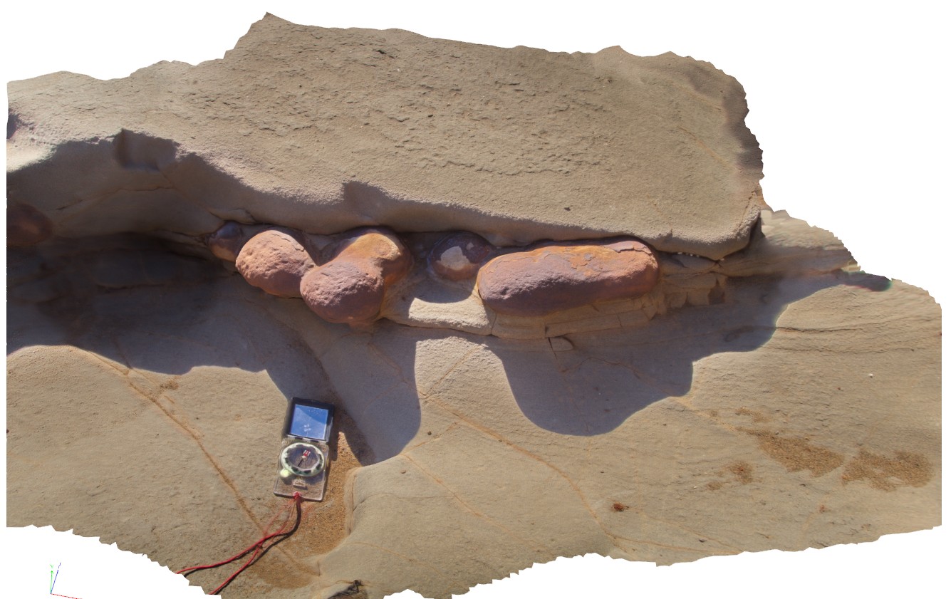
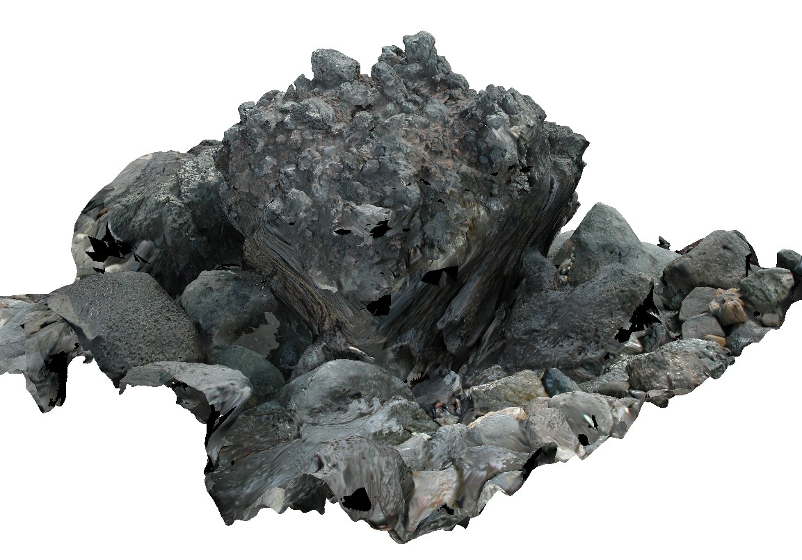
Arkaroola10 Map
 |
5 |
11/06/2015 1:38 p.m. |
3D |
ripple and cross laminations and truncated cross beds in a boulder of the Blue Mine Conglomerate, Arkaroola. Northern Flinders Ranges, S.A. |
0.00 |
-30.32560000000 |
139.37225000000 |
-9999.000 |
cross beds, ripple marks, conglomerate |
conglomerate |
CapeWickham8 Map
 |
5 |
04/22/2016 12:22 p.m. |
3D |
view of bedded, quartzite dominant metasediments. Cape Wickham, King Island. Tasmania. |
0.00 |
-39.59224515000 |
143.92791342000 |
0.500 |
metasediments |
|
ESCape14 Map
 |
20 |
03/16/2015 2:33 p.m. |
3D |
steeply plunging, folded turbiditic sandstone and siltstone beds of the Mathinna Supergroup. Sandy Point, Tas. |
0.00 |
-40.95007594000 |
147.35335474000 |
0.000 |
fold, turbidite, structure |
turbidite |
CapeWickham9 Map
 |
5 |
04/25/2015 11:52 a.m. |
3D |
steeply plunging fold hinge in quartzite and pelites. Cape Wickham, King Island. Tasmania. |
0.00 |
-39.59211212000 |
143.92782848000 |
2.000 |
fold hinge, fold, structure, metamorphic |
quartzite |
WeetootlaFSP10 Map
 |
0 |
09/27/2015 4:37 p.m. |
FSP |
view of folded carbonate mudstone. Junction with Weetootla Creek and Balcanoona Creek. |
0.00 |
-30.48236000000 |
139.23982000000 |
-9999.000 |
fold, structure |
mudstone |
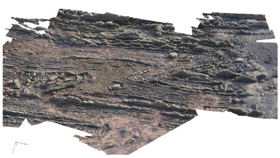
LiptrapPole3 Map
 |
20 |
03/13/2015 9:25 a.m. |
3D |
steeply dipping Asymmetrical and chevron folding with cross cutting faults in finely bedded turbidites. Cape Liptrap, Vic. |
0.00 |
-38.90395783000 |
145.91709577000 |
0.000 |
folding, structure, fault |
turbidite |
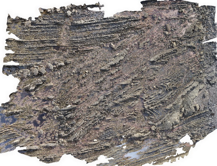
Weetootla13 Map
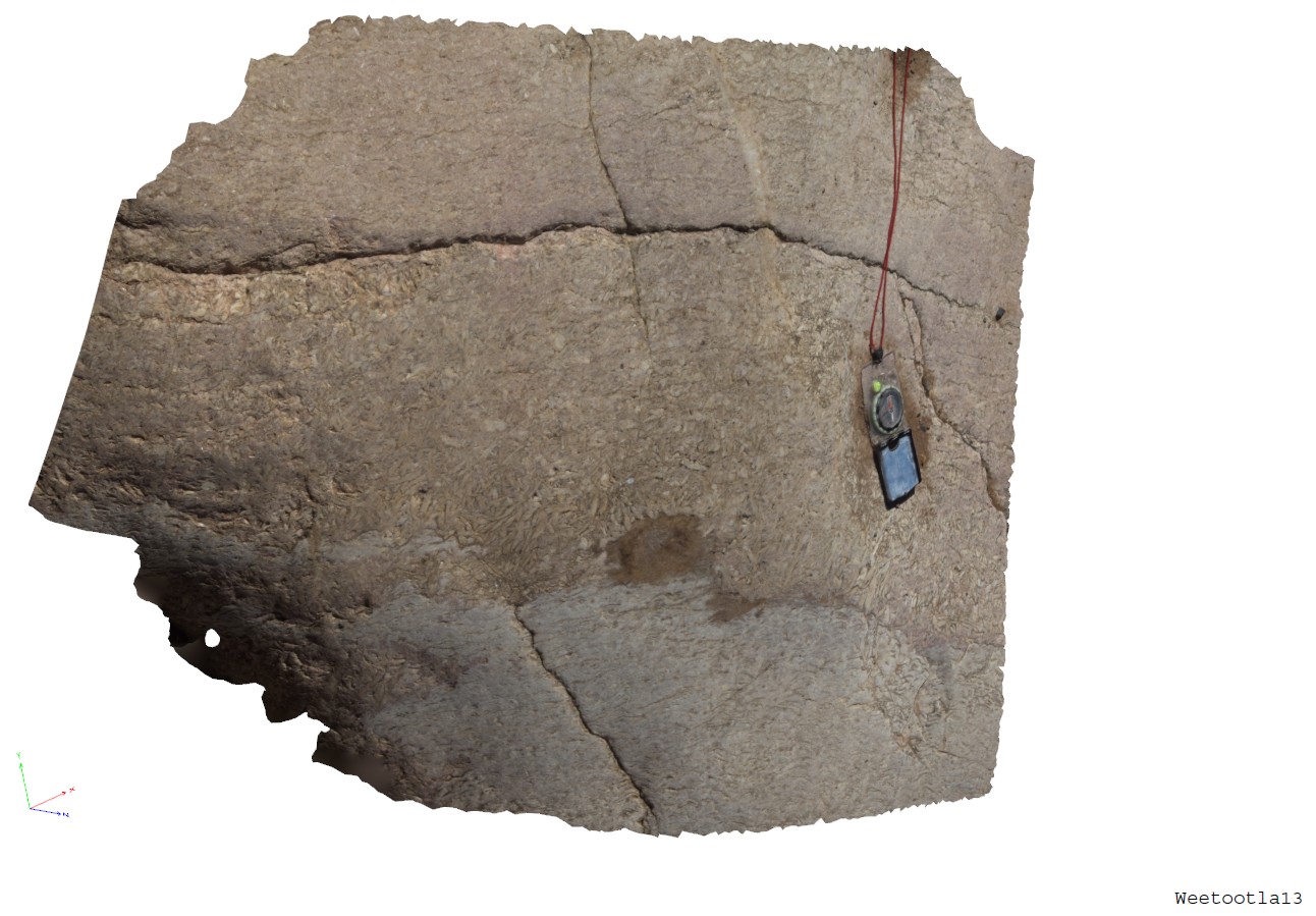 |
0 |
09/27/2015 4:18 p.m. |
3D |
band of coarsly crystalline bladed magnesite. Weetootla Gorge. |
0.00 |
-30.47941000000 |
139.22784000000 |
-9999.000 |
bladed carbonate |
marble |
WreckBeach12 Map
 |
0 |
06/14/2016 2:38 p.m. |
3D |
view of concretion horizons in cross-bedded sandstone. Wreck Beach, Vic. |
0.00 |
-38.75724000000 |
143.21513000000 |
-9999.000 |
concretions, cross-beds, sedimentology |
sandstone |
Liptrap14 Map
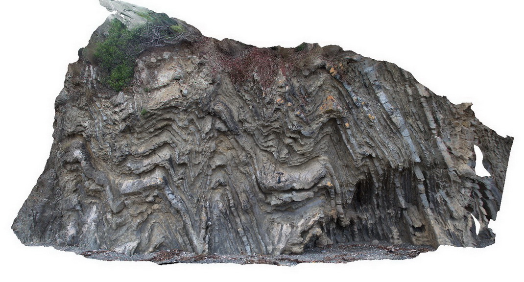 |
20 |
03/13/2015 9:19 a.m. |
3D |
tightly folded distal turbidites. Cape Liptrap, Vic. |
0.00 |
-38.90333045000 |
145.91635312000 |
0.000 |
structure, folding |
turbidite |
ArkaroolaFSP9 Map
 |
5 |
11/26/2015 3:14 p.m. |
FSP |
hematitic and granitic brecciated boulders and outcrop exposed in creek bed. Quartz veins cross-cut and also host breccia clasts. Arkaroola. Northern Flinders Ranges, S.A. |
0.00 |
-30.22888000000 |
139.34544000000 |
-9999.000 |
breccia, quartz veining |
breccia |
LordHowe13 Map
 |
20 |
03/16/2015 2:51 p.m. |
3D |
welded scoria. Lord Howe Island. |
0.00 |
-31.51990632000 |
159.05360757000 |
0.000 |
|
basalt |
LordHowe10 Map
 |
20 |
03/16/2015 2:50 p.m. |
3D |
basalts intruded by dykes. Lord Howe Island. |
0.00 |
-31.52197862000 |
159.05226474000 |
0.000 |
dyke, intrusion |
basalt |
HastingsPt2 Map
 |
1 |
07/09/2015 4:27 p.m. |
3D |
fold in metasediments in offshore rock - approximately 2.5m across. Devonian - Carboniferous Neranleigh-Fernvale Beds. Hastings Point, QLD. |
0.00 |
-28.33676000000 |
153.57729000000 |
-9999.000 |
fold, structure |
sandstone |
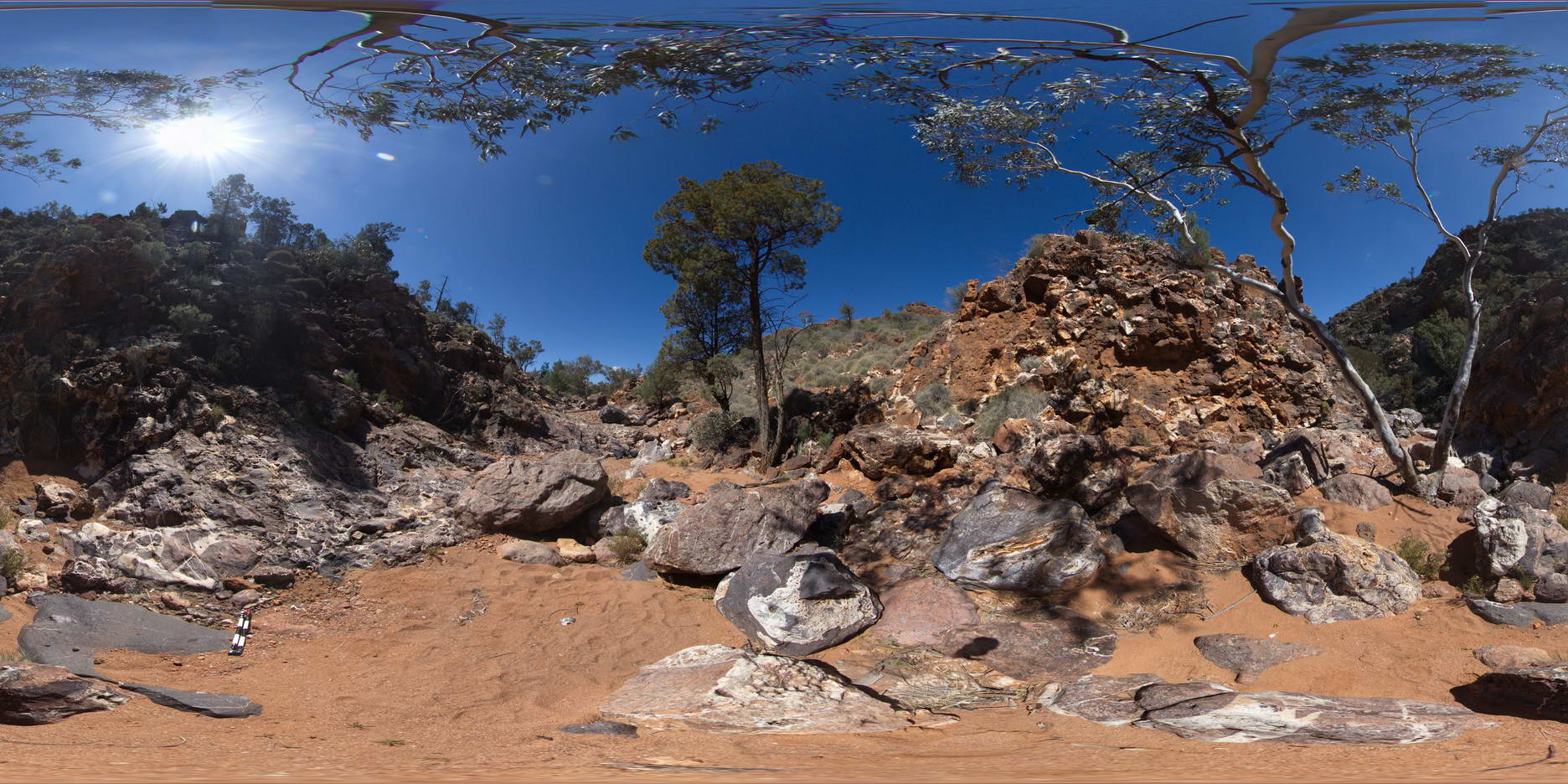
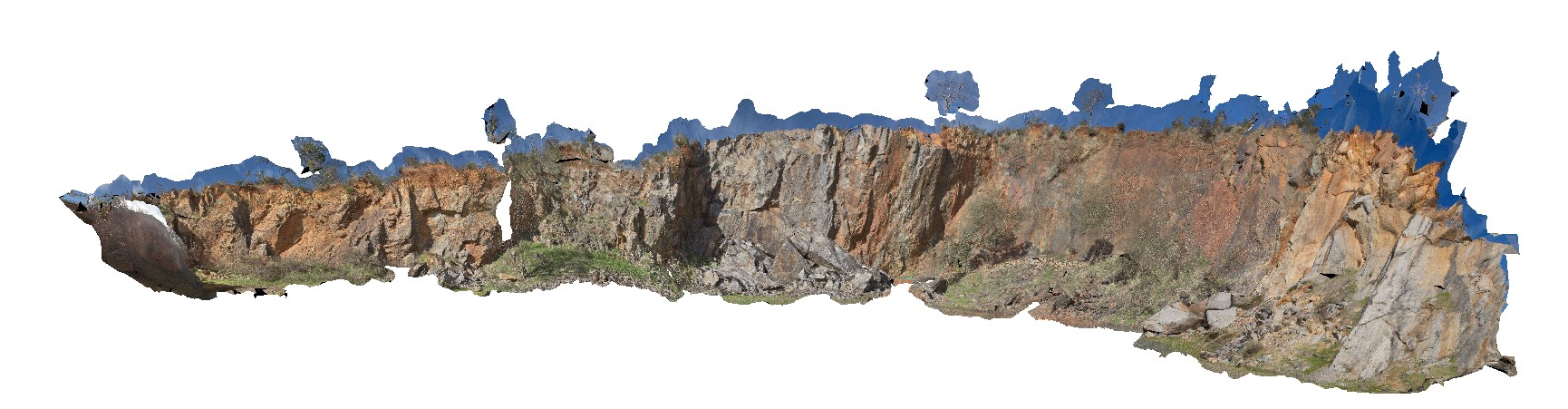
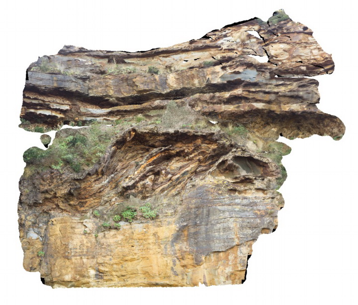
Boya5 Map
 |
0 |
03/13/2015 9:26 a.m. |
PANO |
Boya quarry, Boya, Western Australia. |
0.00 |
-31.91484580000 |
116.06239402000 |
-9999.000 |
|
|
PtNeillFSP1 Map
 |
0 |
10/20/2015 3:21 p.m. |
FSP |
shore platform showing granitic and mafic banded mylonite, Point Neill. |
0.00 |
-34.10535000000 |
136.35066000000 |
-9999.000 |
mylonite |
mylonite |
MyrtleBch2 Map
 |
1 |
06/17/2015 9:23 a.m. |
3D |
Large (~6m) megaclast of folded Wagonga Group rocks within cliff of Permian Snapper Point Formation. Poor image due to limited vantage points. No scale. Myrtle Beach, N.S.W. |
0.00 |
-35.68269000000 |
150.30045800000 |
-9999.000 |
megaclast, sedimentology |
sandstone |
CanberraGiga1 Map
 |
1 |
06/17/2015 10:27 a.m. |
GIGA |
— |
0.00 |
-35.30408000000 |
149.12651000000 |
-9999.000 |
|
|
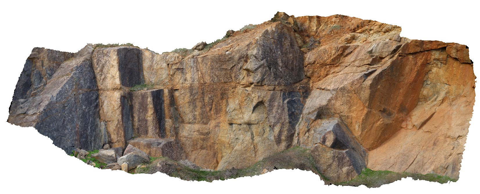
BoyaPole2 Map
 |
0 |
03/13/2015 9:27 a.m. |
3D |
Boya quarry, Boya, Western Australia. |
0.00 |
-31.91484580000 |
116.06239402000 |
-9999.000 |
|
|
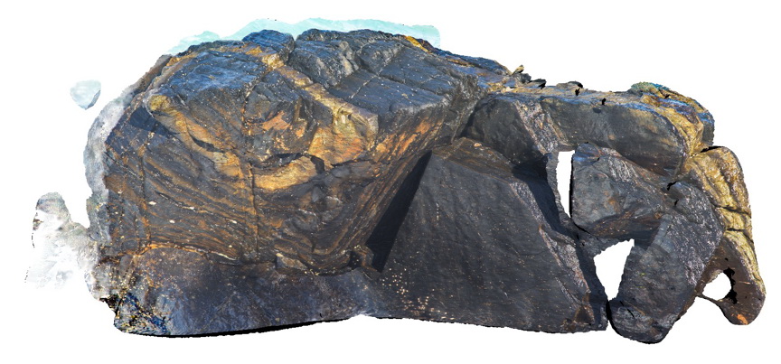
Bicheno7 Map
 |
0 |
03/13/2015 9:02 a.m. |
3D |
Biotite-tourmaline clots and associated k-feld alteration within porphyritic Bicheno Granite of the Boobyalla Suite. Tas. |
0.00 |
-41.86977728000 |
148.30369533000 |
-9999.000 |
igneous, porphyritic, granite, alteration |
Granite |
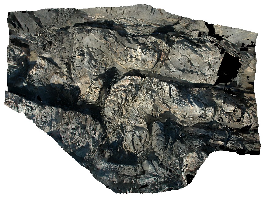
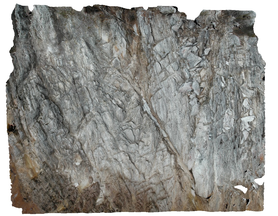
Pedder13 Map
 |
5 |
03/16/2015 2:26 p.m. |
3D |
fault cutting folded quartzite. Lake Pedder, south west Tasmania. |
0.00 |
-42.84890616000 |
146.10493121000 |
-9999.000 |
fault, fold, structure, quartzite |
quartzite |
Blackjack5 Map
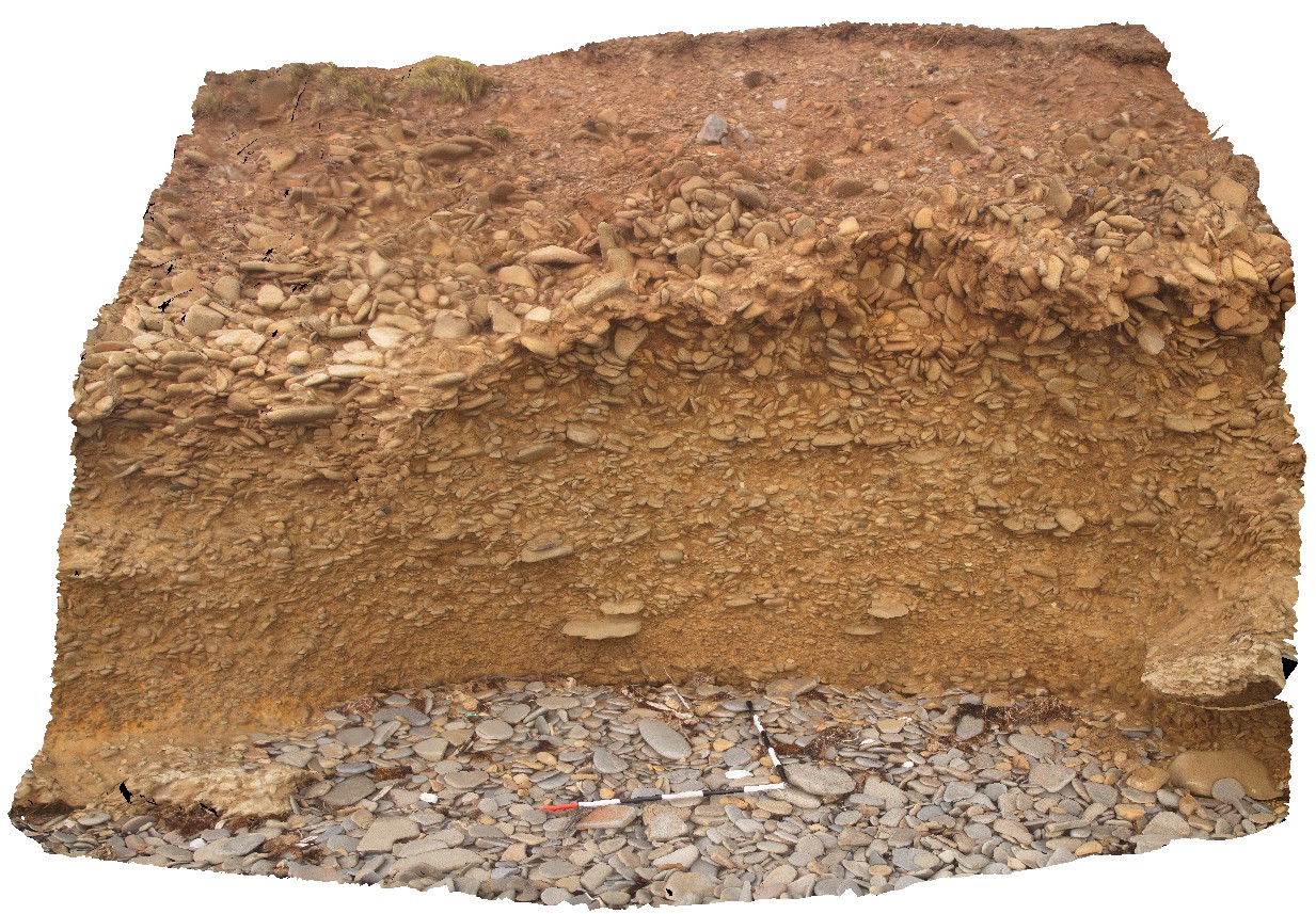 |
5 |
01/01/9999 midnight |
3D |
modern paleo-beach deposits of flat cobble shingles. Black Jack Hills, Tas. |
0.00 |
-42.99360000000 |
147.65126000000 |
-9999.000 |
paleo-beach, paleo-deposit |
conglomerate |