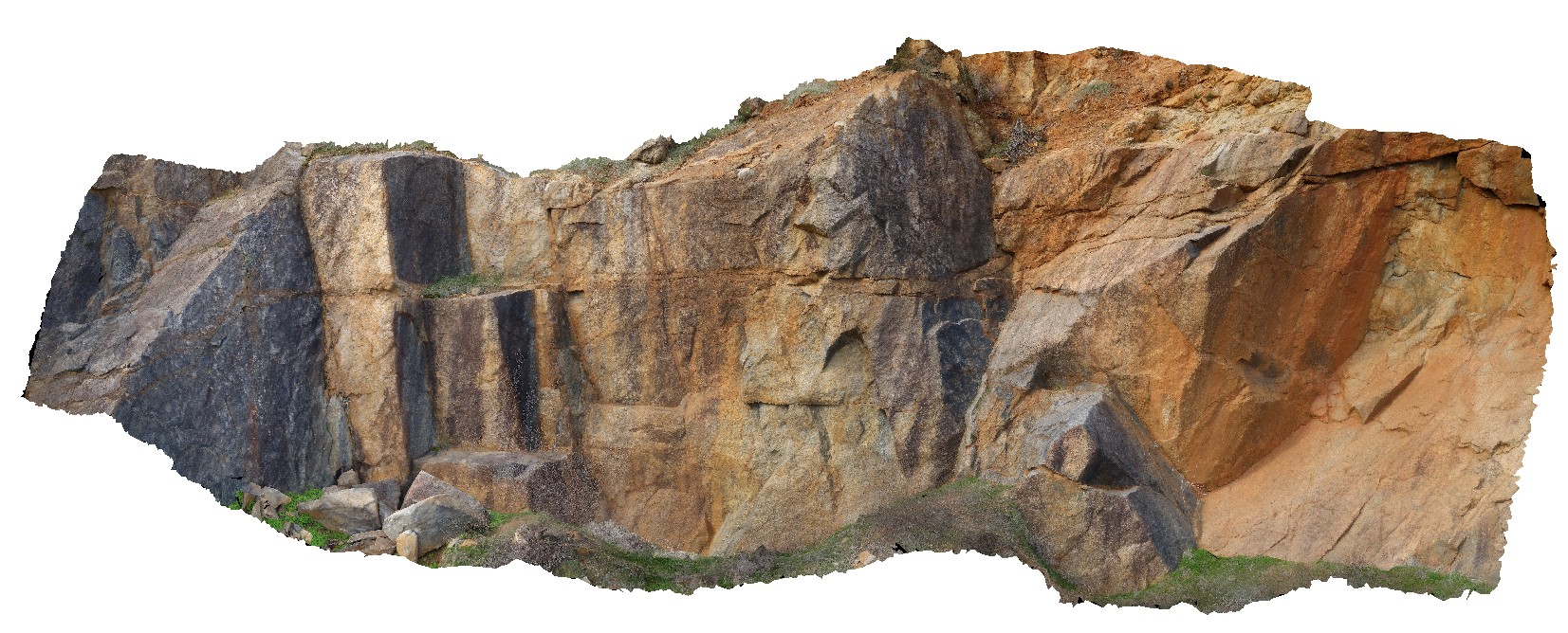
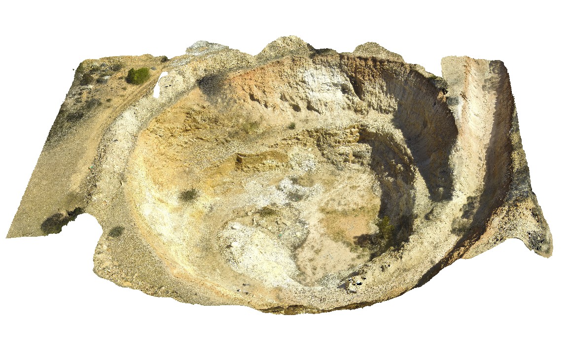
BoyaPole2 Map
 |
0 |
03/13/2015 9:27 a.m. |
3D |
Boya quarry, Boya, Western Australia. |
0.00 |
-31.91484580000 |
116.06239402000 |
-9999.000 |
|
|
WeetootlaFSP5 Map
 |
0 |
09/27/2015 4:38 p.m. |
FSP |
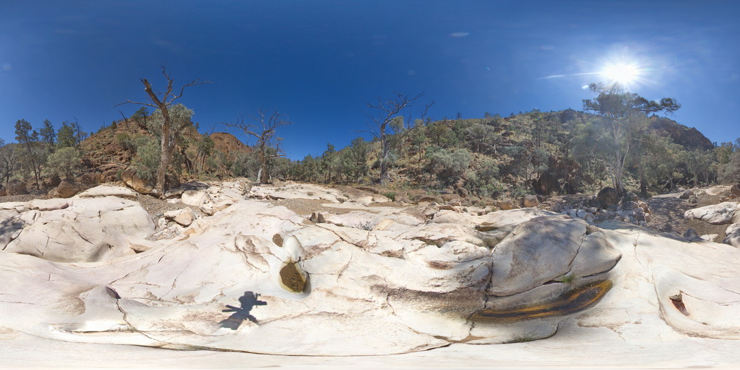
outcrop of massive carbonate. Weetootla gorge. |
0.00 |
-30.47945000000 |
139.22777000000 |
-9999.000 |
sedimentology |
carbonate |
WeetootlaFSP6 Map
 |
0 |
09/27/2015 4:38 p.m. |
FSP |
outcrop of massive homogeneous carbonate. Weetootla gorge. |
0.00 |
-30.47952000000 |
139.22774000000 |
-9999.000 |
sedimentology |
carbonate |
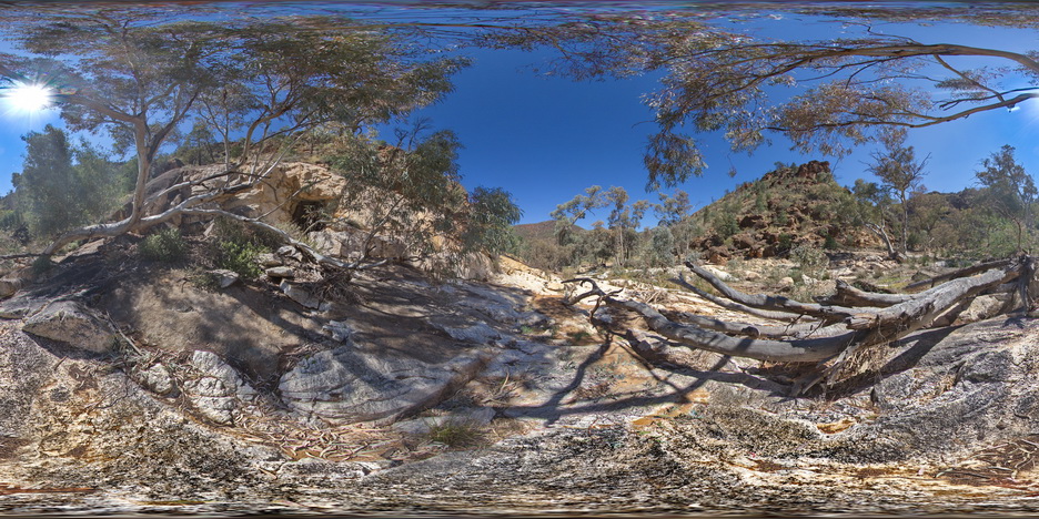
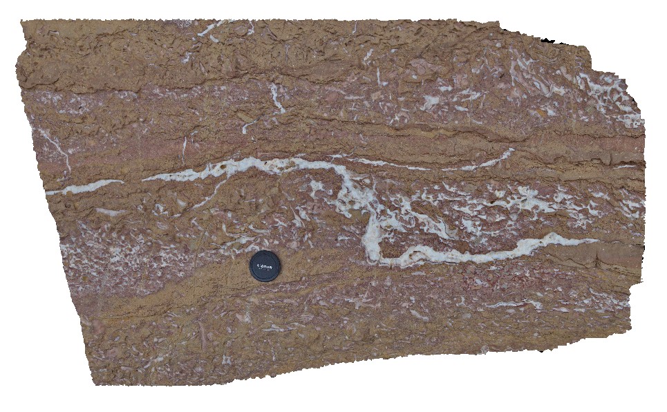
WeetootlaFSP10 Map
 |
0 |
09/27/2015 4:37 p.m. |
FSP |
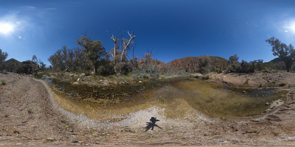
view of folded carbonate mudstone. Junction with Weetootla Creek and Balcanoona Creek. |
0.00 |
-30.48236000000 |
139.23982000000 |
-9999.000 |
fold, structure |
mudstone |
WeetootlaFSP9 Map
 |
0 |
09/27/2015 4:38 p.m. |
FSP |
view of mega-boudins in folded carbonate mudstone. Weetootla gorge. |
0.00 |
-30.47988000000 |
139.23091000000 |
-9999.000 |
sedimentology, boudin, structure |
carbonate |
WeetootlaFSP11 Map
 |
0 |
09/27/2015 4:37 p.m. |
FSP |
view of thinly bedded carbonate mudstone pavement, showing folding. Weetootla Creek. |
0.00 |
-30.47598000000 |
139.24332000000 |
-9999.000 |
fold, structure |
mudstone |
WeetootlaFSP12 Map
 |
0 |
09/27/2015 4:37 p.m. |
FSP |
View of steeply dipping sediments (hills) and creek exposure of diamictite. Balcanoona Creek. |
0.00 |
-30.48433000000 |
139.24013000000 |
-9999.000 |
diamictite, sediments |
diamictite, mudstone |
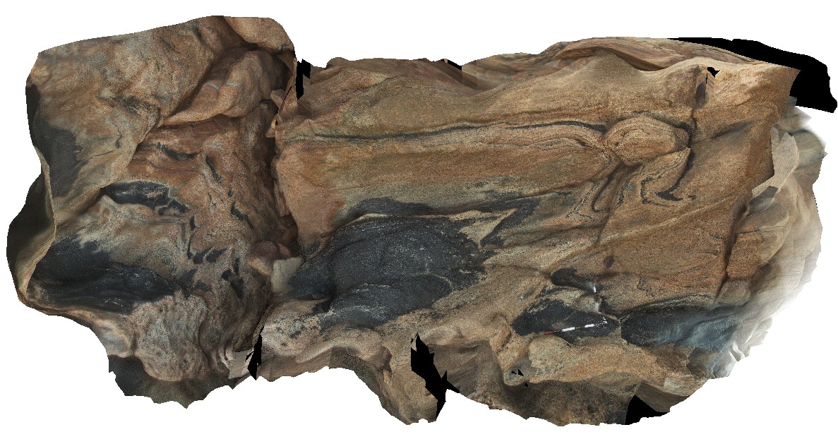
Arkaroola9 Map
 |
5 |
11/06/2015 1:37 p.m. |
3D |
Boulder of granite breccia at the Pinnacles, Arkaroola. Northern Flinders Ranges, S.A. |
0.00 |
-30.29921000000 |
139.30934000000 |
-9999.000 |
breccia |
breccia |
MtGipps4 Map
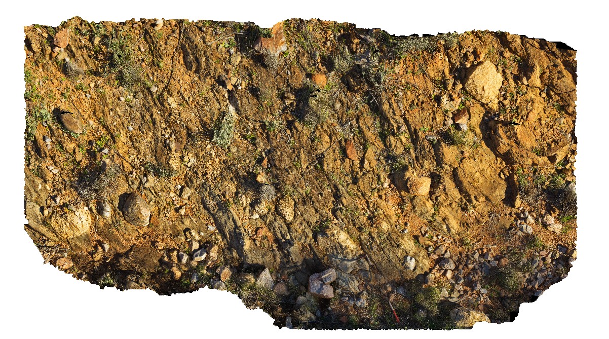 |
0 |
06/25/2016 noon |
3D |
Adelaidean diamictite. Mount Gipps, N.S.W. |
0.00 |
-31.60959000000 |
141.52582000000 |
-9999.000 |
diamictite, Adelaidean, structure |
diamictite |
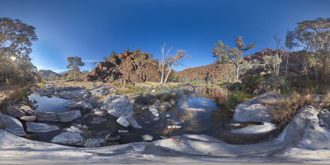
BlinmanFSP2 Map
 |
0 |
11/27/2015 10:24 a.m. |
FSP |
out crop and cliff exposure of gently - moderately dipping, bedded carbonates, Blinman Pools walking trail. Blinman, S.A. |
0.00 |
-31.12832800000 |
138.58078600000 |
-9999.000 |
carbonate |
carbonate |
SugarloafRock4 Map
 |
0 |
05/15/2016 noon |
3D |
folded and boudinaged amphibolite layers in granitic gneiss. Pegmatite in boudin necks. Sugarloaf Rock, Cape Naturaliste. W.A. This unit may also be known as Neoproterozoic granites 76645. |
0.00 |
-33.56074000000 |
115.00518000000 |
-9999.000 |
boudinage, amphibolite, metamorphics |
gneiss |
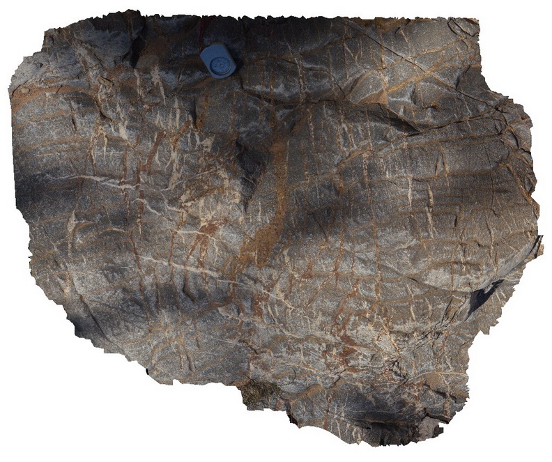
WARAFSP1 Map
 |
0 |
07/21/2016 9:38 a.m. |
FSP |
foliated ironstone / sandstone outcrop, North West of Tennant Creek, N.T. |
0.00 |
-19.61547200000 |
134.17657700000 |
386.669 |
foliation, structure |
sandstone |
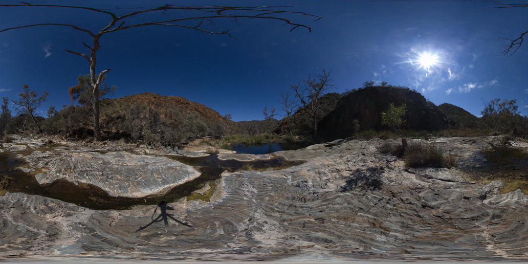
Blinman16 Map
 |
0 |
11/12/2015 10:17 a.m. |
3D |
detail of cross-section and 3D view of stromatolites. Blinman pools walking trail. Blinman, S.A. |
0.00 |
-31.12896000000 |
138.57230000000 |
-9999.000 |
stromatolite, palaeontology |
carbonate |
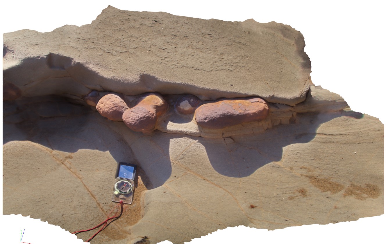
Windjana5 Map
 |
0 |
06/05/2016 noon |
3D |
conglomerate with sparry calcite cement, East Windjara Gorge, W.A. |
0.00 |
-17.41102000000 |
124.97226000000 |
-9999.000 |
sparry calcite cement, limestone conglomerate |
conglomerate |
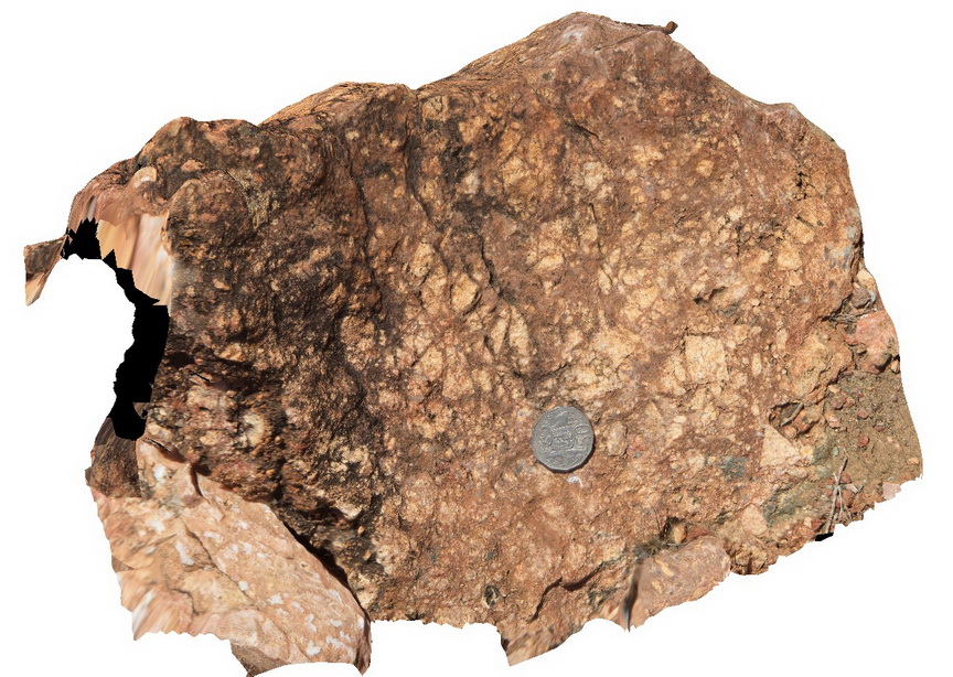
CalcalingMine1 Map
 |
5 |
05/25/2016 noon |
3D |
weathered, complex zoned pegmatite, near Quanta Cutting-Weira Rd. W.A. |
0.00 |
-30.91527600000 |
118.43186600000 |
-9999.000 |
zoned pegmatite, pegmatite, igneous rock |
pegmatite |
LiptrapPole1 Map
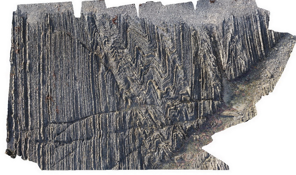 |
20 |
03/13/2015 9:25 a.m. |
3D |
wave cut platform showing chevron folding and cross cutting faults in finely bedded turbidites. Cape Liptrap, Vic. |
0.00 |
-38.90406232000 |
145.91729772000 |
0.000 |
turbidite, chevron folds, structure |
turbidite |
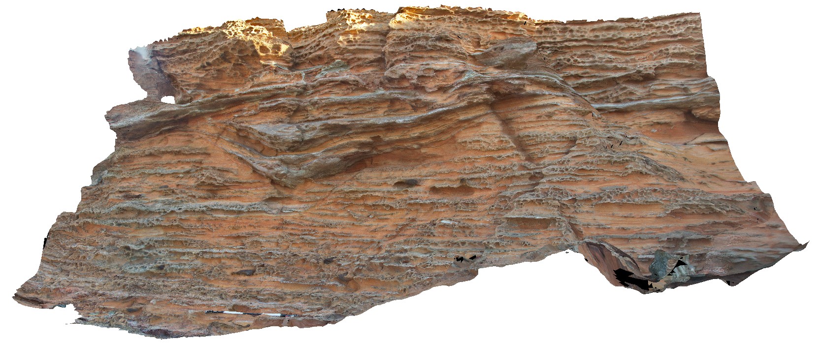
Brachina16 Map
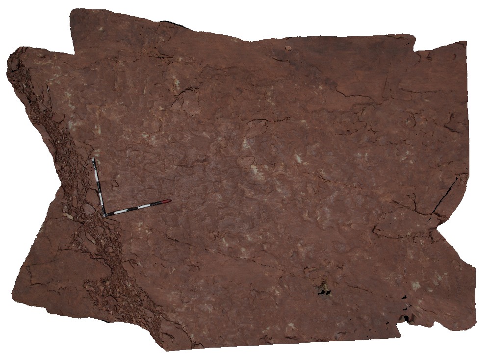 |
5 |
11/17/2015 8:26 a.m. |
3D |
lumpy bedforms on bedding on surface of Bonney Sandstone, Brachina Gorge. S.A. |
0.00 |
-31.33549000000 |
138.56331000000 |
-9999.000 |
bedforms, sedimentology |
sandstone |
Broome4 Map
 |
0 |
06/03/2016 noon |
3D |
channels and concretions in orange, cross-bedded sandstone. Broome, W.A. |
0.00 |
-18.00847000000 |
122.20957000000 |
-9999.000 |
sandstone, channels, cross-bedded, sedimentology |
sandstone |
Liptrap14 Map
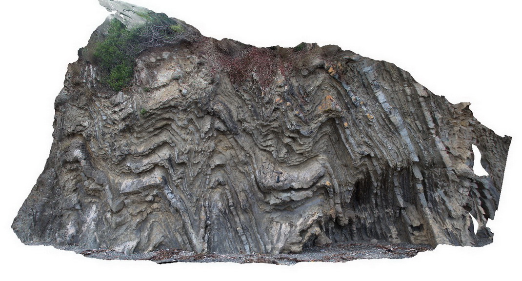 |
20 |
03/13/2015 9:19 a.m. |
3D |
tightly folded distal turbidites. Cape Liptrap, Vic. |
0.00 |
-38.90333045000 |
145.91635312000 |
0.000 |
structure, folding |
turbidite |
WreckBeach12 Map
 |
0 |
06/14/2016 2:38 p.m. |
3D |
view of concretion horizons in cross-bedded sandstone. Wreck Beach, Vic. |
0.00 |
-38.75724000000 |
143.21513000000 |
-9999.000 |
concretions, cross-beds, sedimentology |
sandstone |
RHead2 Map
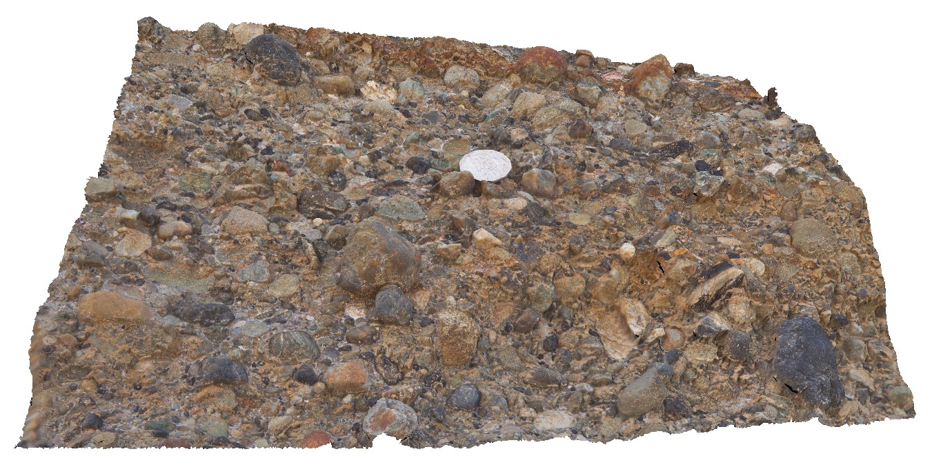 |
5 |
01/01/9999 midnight |
3D |
detail of polymict, clast-supported conglomerate lense in Newcastle coal measures. Semi-rounded clasts. Redhead, N.S.W. |
0.00 |
-33.01356000000 |
151.72147000000 |
-9999.000 |
conglomerate, clast-supported, polymict, sedimentology |
conglomerate |
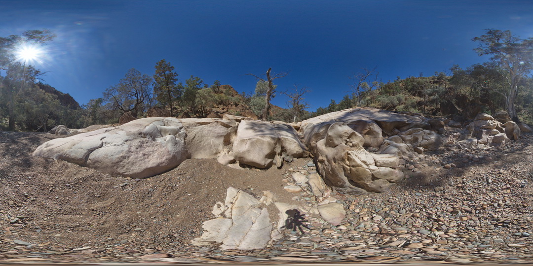
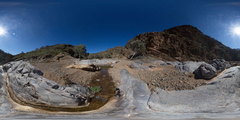
ArkaroolaFSP5 Map
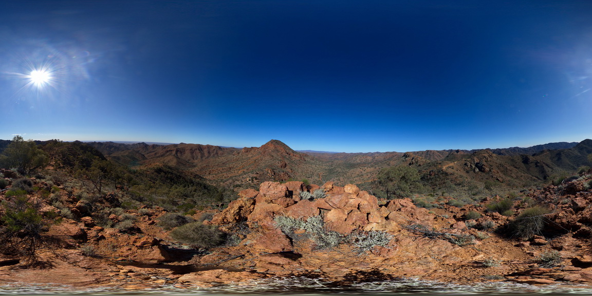 |
5 |
09/27/2015 5:56 p.m. |
FSP |
View form spur leading to Mt Painter. Looking back to ridge top track, with view of Mt Gee Sinter blocks in the foreground. The ridge across to Mt Painter and views out to the surrounding Arkaroola can also be seen. Northern Flinders Ranges, S.A. |
0.00 |
-30.22092000000 |
139.36333000000 |
-9999.000 |
Blocks |
Sinter |
PointAnn3 Map
 |
0 |
06/05/2016 10:46 a.m. |
3D |
early isoclinal folds and later F2 folds with fold interference patterns. Point Ann, W.A. |
0.00 |
-34.17004000000 |
119.58205000000 |
-9999.000 |
fold interference pattern, F2 folds |
pelite |
ArkaroolaUAV1 Map
 |
20 |
04/19/2016 12:27 p.m. |
UAV |
view of 'The Pinnacles' showing massive leucogranite, Arkaroola. Northern Flinders Ranges, S.A. |
0.00 |
-30.22888000000 |
139.34544000000 |
-9999.000 |
leucogranite |
granite |
Ironstone5 Map
 |
5 |
01/01/9999 midnight |
3D |
giant bomb in pyroclastic deposits. Ironstone Point, Tas. |
0.00 |
-42.97054000000 |
147.73294000000 |
-9999.000 |
pyroclastic, basalt, volcanics, bomb, Tertiary basalt |
basalt |