Maria6 Map
 |
20 |
03/16/2015 2:32 p.m. |
3D |
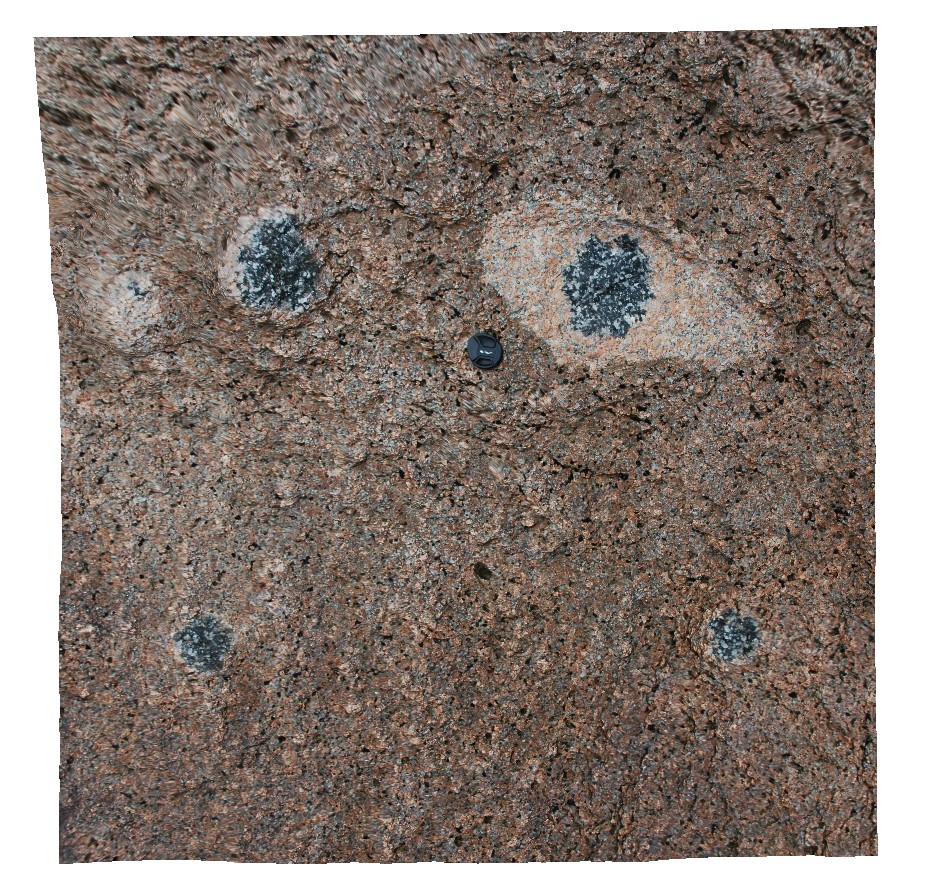
tourmaline aggregates in granite. Maria Island, Tas. |
1.00 |
-42.66200672000 |
148.09867370000 |
5.000 |
mineralogy, tourmaline |
granite |
Maria7 Map
 |
20 |
03/16/2015 2:32 p.m. |
3D |
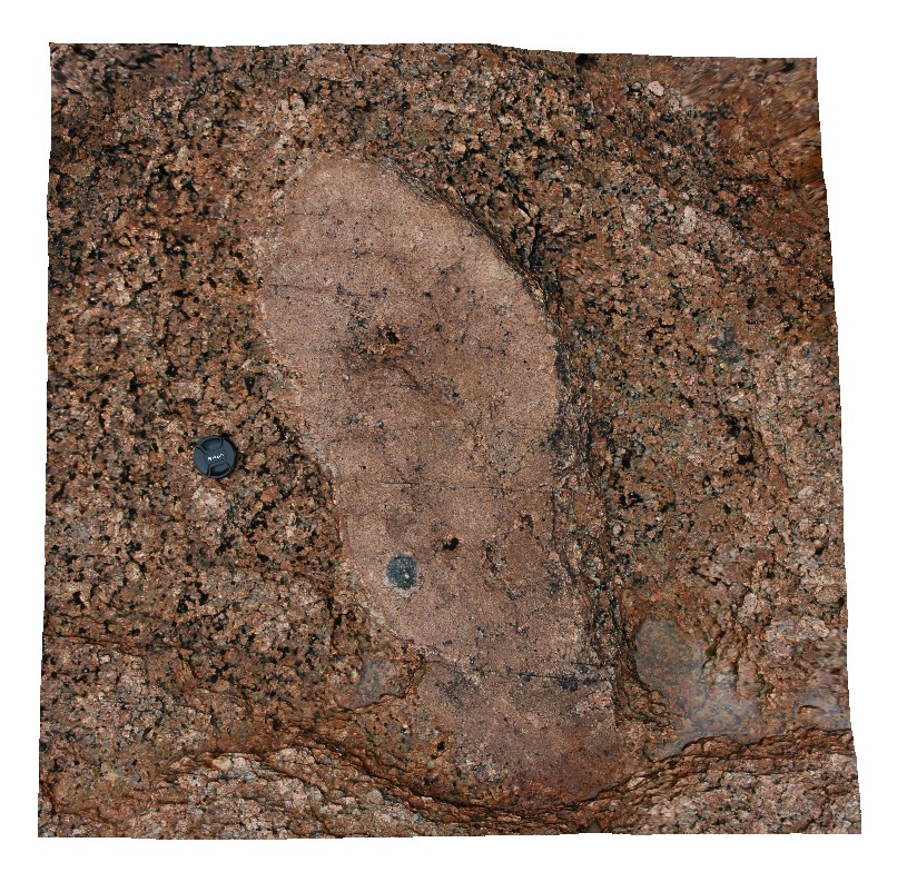
tourmaline aggregates in fine-grained bleb in coarse-grained granite. Maria Island, Tas. |
1.00 |
-42.66205155000 |
148.09875694000 |
0.000 |
granite, tourmaline aggregate |
granite |
Maria8 Map
 |
20 |
03/16/2015 2:32 p.m. |
3D |
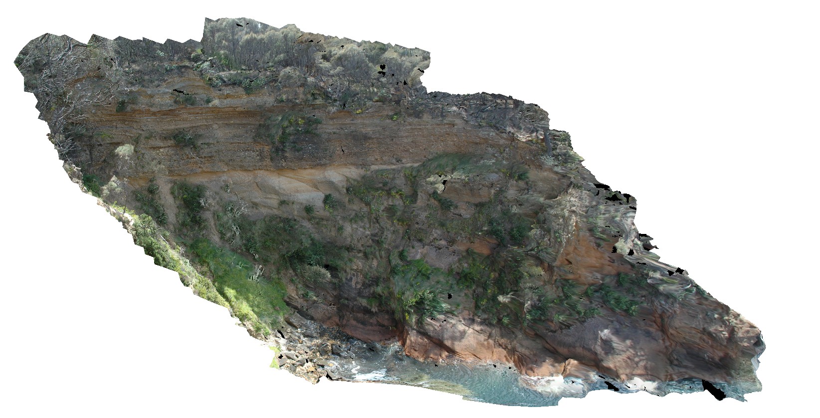
view of Unconformity between underlying Maria Island Granite and overlying flat-lying sediments of the Parmeener Supergroup. Maria Island, Tas. |
10.00 |
-42.66130222000 |
148.09977179000 |
5.000 |
unconformity, granite |
granite, sandstone |
Maria9 Map
 |
20 |
03/16/2015 2:33 p.m. |
3D |
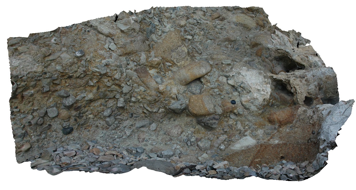
matrix supported Pleistocene talus deposit with predominantly dolerite clasts. Maria Island, Tas. |
5.00 |
-42.66113564000 |
148.10395542000 |
2.000 |
talus deposit, Pleistocene |
talus |
ESCape14 Map
 |
20 |
03/16/2015 2:33 p.m. |
3D |
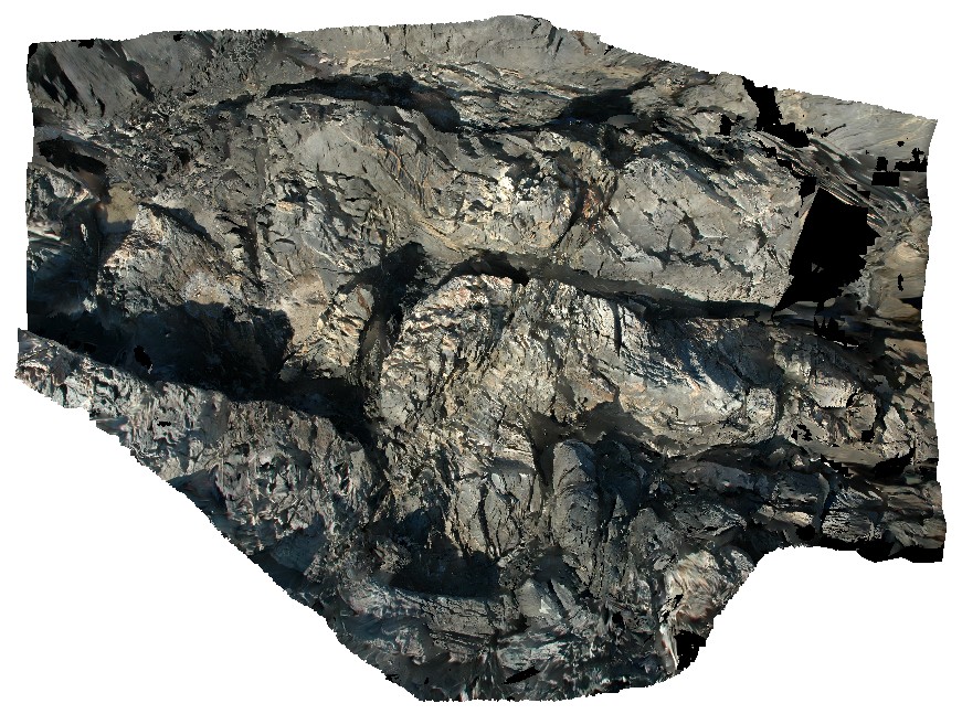
steeply plunging, folded turbiditic sandstone and siltstone beds of the Mathinna Supergroup. Sandy Point, Tas. |
0.00 |
-40.95007594000 |
147.35335474000 |
0.000 |
fold, turbidite, structure |
turbidite |
ESCape15 Map
 |
20 |
03/16/2015 2:34 p.m. |
3D |
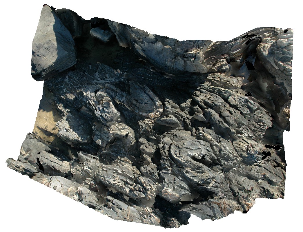
tight, steeply plunging folds in turbiditic sandstone and siltstone. Sandy Point, Tas. |
3.00 |
-40.95009442000 |
147.35303138000 |
0.000 |
structure, folding, turbidite |
turbidite |
ESCape16 Map
 |
20 |
03/16/2015 2:34 p.m. |
3D |
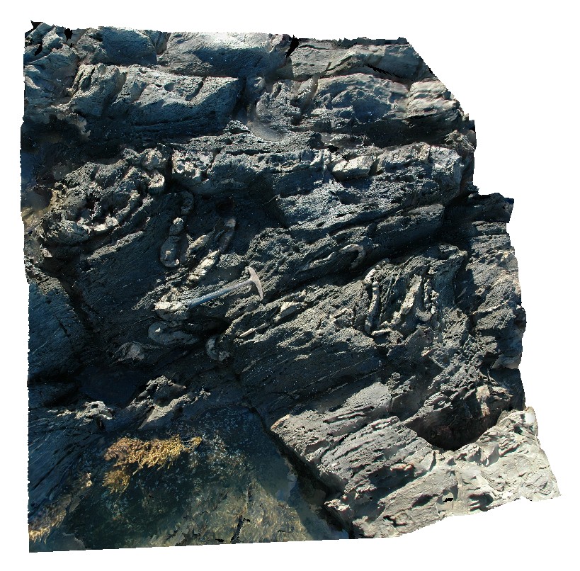
tight, steeply plunging folds within turbiditic sandstone and stilts one of the Mathinna Supergroup. Sandy Point, Tas. |
2.00 |
-40.95038032000 |
147.35319759000 |
0.000 |
structure, turbidite, fold |
turbidite |
ESCape18 Map
 |
20 |
03/16/2015 2:34 p.m. |
3D |
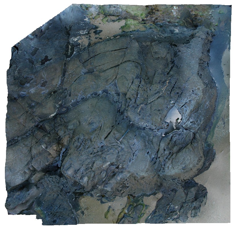
tightly folded, steeply plunging folds within turbiditic sandstone and siltstone beds of the Mathinna Supergroup. Sandy Point, Tas. |
3.00 |
-40.94977624000 |
147.35270124000 |
0.000 |
structure, fold, turbidite |
turbidite |
ESCape19 Map
 |
20 |
03/16/2015 2:34 p.m. |
3D |
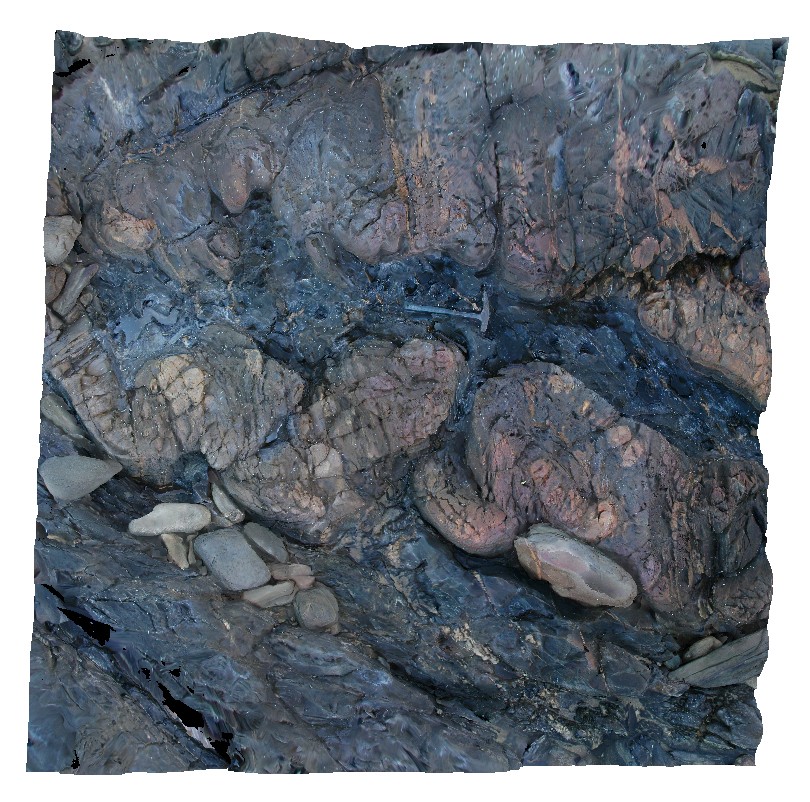
tightly folded, steeply plunging folds within turbiditic units of the Mathinna Supergroup. Sandy Point, Tas. |
2.00 |
-40.94992837000 |
147.35267750000 |
0.000 |
fold, structure, turbidite |
turbidite |
ESCape2 Map
 |
20 |
03/16/2015 2:35 p.m. |
3D |
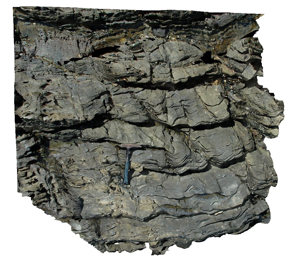
faulted and folded thinly bedded turbiditic sandstone and siltstone. Sandy Point, Tas. |
2.50 |
-40.95603181000 |
147.35485942000 |
0.000 |
fault, fold, structure |
turbidite |
ESCape20 Map
 |
20 |
03/16/2015 2:35 p.m. |
3D |
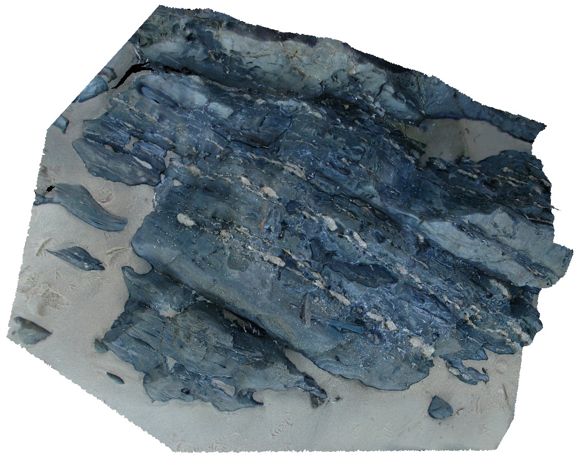
boudinaged quartz veins within steeply dipping, turbiditic beds of the Mathinna Supergroup. Sandy Point, Tas. |
3.00 |
-40.94984421000 |
147.35251755000 |
0.000 |
structure, turbidite, boudinage |
turbidite |
ESCape21 Map
 |
20 |
03/16/2015 2:35 p.m. |
3D |
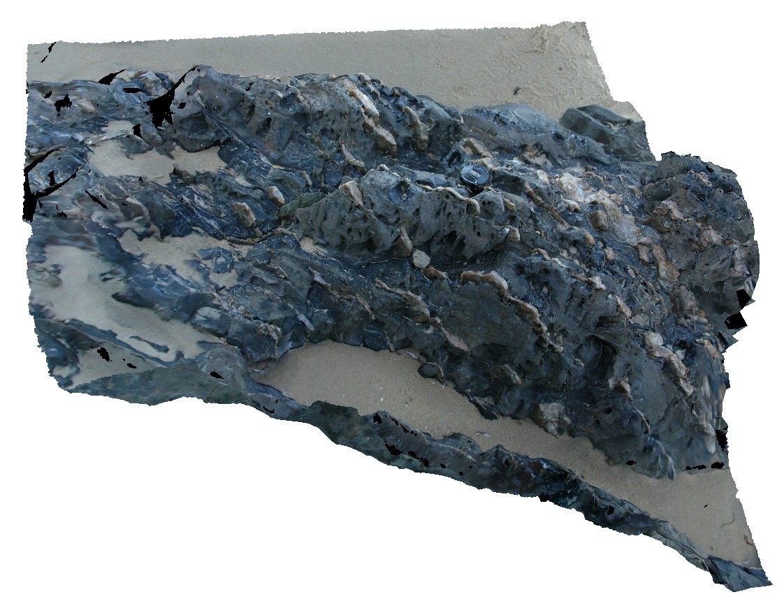
steeply dipping, thinly bedded turbidites with bedding parallel, boudinaged quartz veins. Sandy Point, Tas. |
1.50 |
-40.95001757000 |
147.35265996000 |
0.000 |
structure, boudinage, turbidite |
turbidite |
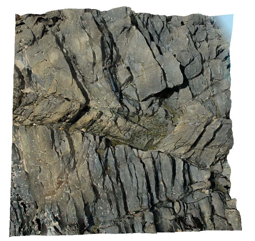
ESCape3 Map
 |
20 |
03/16/2015 2:35 p.m. |
3D |
faulting parallel to axial plane, crosscutting steeply dipping Mathinna turbidites. Sandy Point, Tas. |
3.00 |
-40.95546074000 |
147.35511492000 |
0.000 |
fault, turbidite, structure |
turbidite |
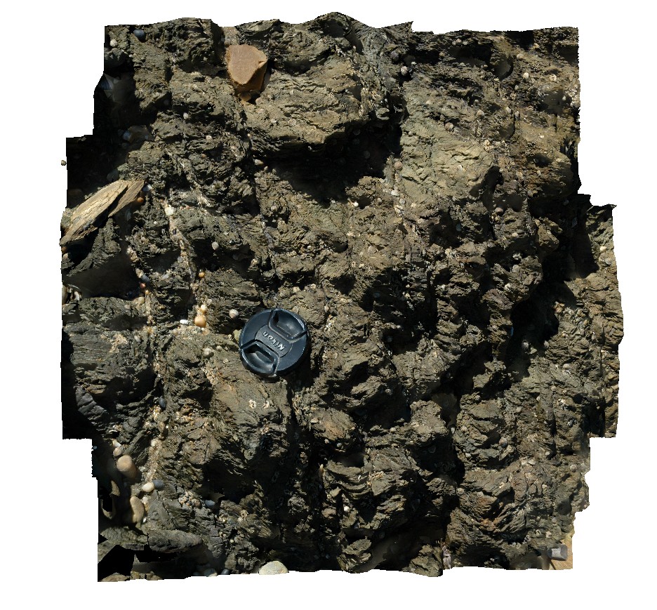
ESCape4 Map
 |
20 |
03/16/2015 2:35 p.m. |
3D |
chevron folding developed in sandy siltstone. Sandy Point, Tas. |
0.50 |
-40.95498419000 |
147.35556642000 |
0.000 |
chevron folds, structure |
turbidite |
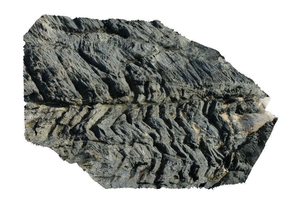
ESCape5 Map
 |
20 |
03/16/2015 2:35 p.m. |
3D |
chevron folding developed in thinly bedded turbidites of the Mathinna Supergroup with localised faulting. Sandy Point, Tas. |
4.50 |
-40.95445453000 |
147.35591125000 |
0.000 |
fault, chevron fold, turbidite |
turbidite |
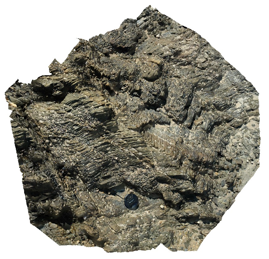
ESCape6 Map
 |
20 |
03/16/2015 2:36 p.m. |
3D |
chevron folding and axial planar faulting of finely bedded turbidites. Sandy Point, Tas. |
1.00 |
-40.95379428000 |
147.35549449000 |
0.000 |
chevron fold, fault, turbidite |
turbidite |
ESCape7 Map
 |
20 |
03/16/2015 2:36 p.m. |
3D |
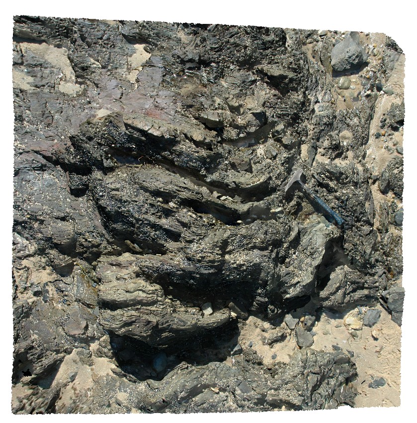
tight, steeply plunging folds, refolded by a second folding event. Finely bedded sandstone and siltstone. Sandy Point, Tas. |
3.00 |
-40.95311442000 |
147.35543626000 |
0.000 |
folding, turbidite |
turbidite |
ESCape8 Map
 |
20 |
03/16/2015 2:36 p.m. |
3D |
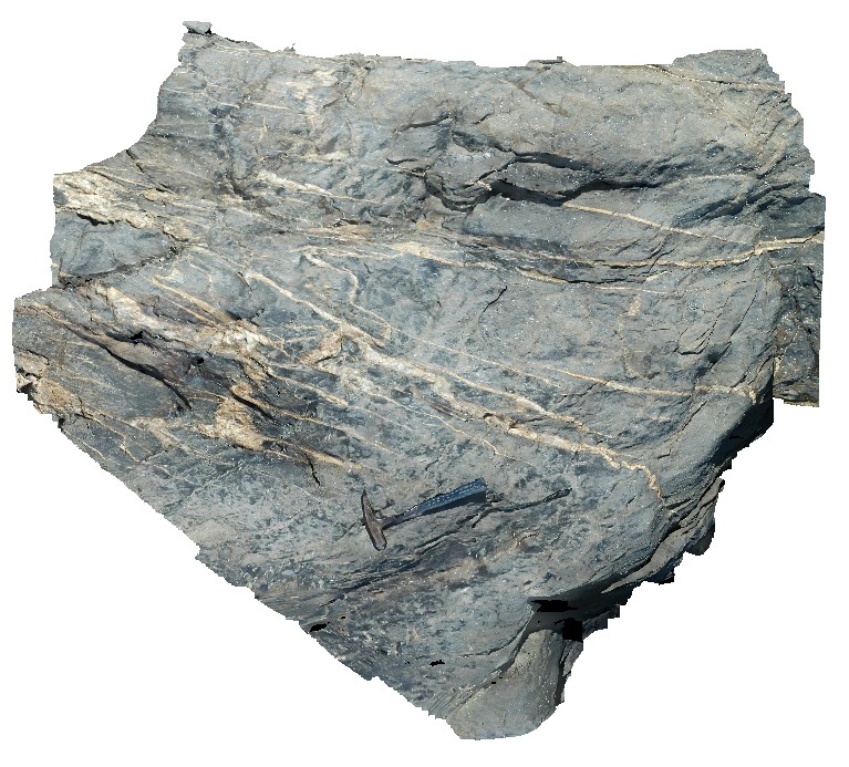
turbiditic sandstone and siltstone with crosscutting quartz veins. Quartz veins exhibit ptygmatic folding and a tension gash array. Sandy Point, Tas. |
2.50 |
-40.95228961000 |
147.35503985000 |
0.000 |
folding, structure, quartz vein |
turbidite |
PiccaninnyUAV Map
 |
20 |
03/16/2015 2:36 p.m. |
UAV |
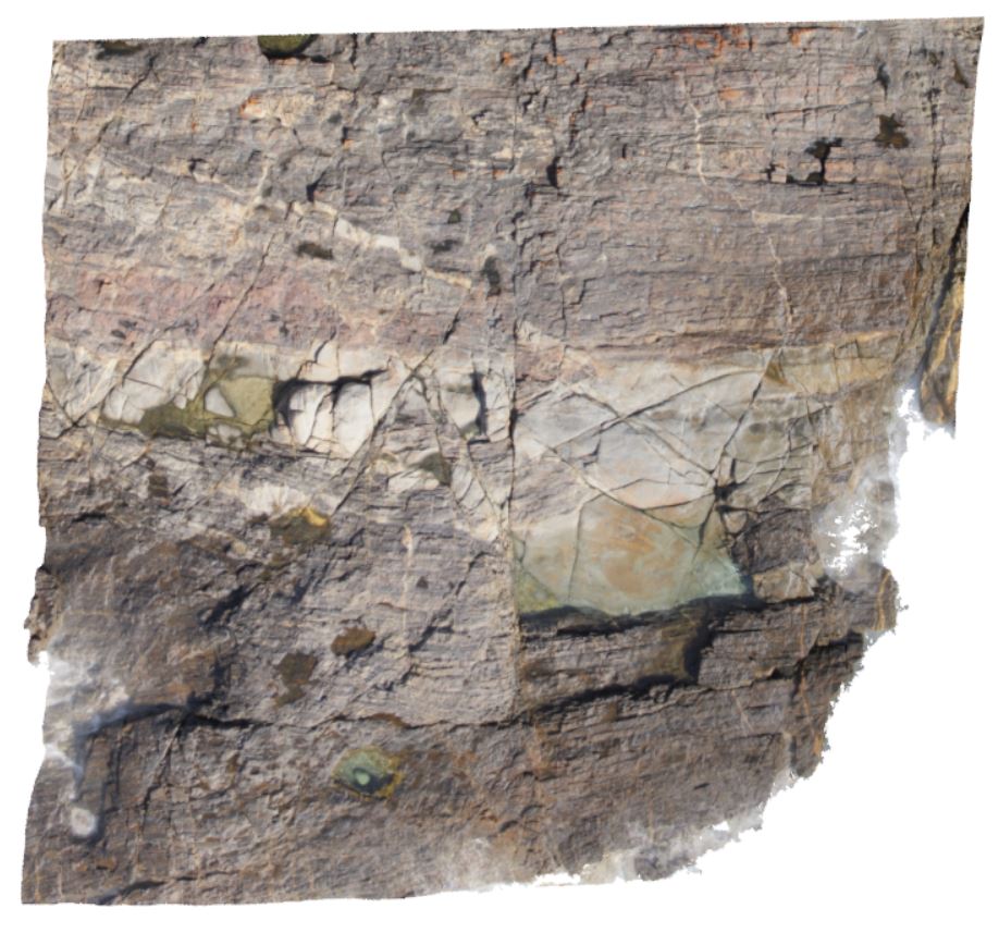
aerial view of granodiorite intruding thick package of turbidite beds. Piccaninny Point, eastern Tasmania. |
50.00 |
-41.69264700000 |
148.29592000000 |
50.000 |
intrusive contact, turbidite, granodiorite |
turbidite, granodiorite |
Sisters1 Map
 |
20 |
03/16/2015 2:37 p.m. |
3D |
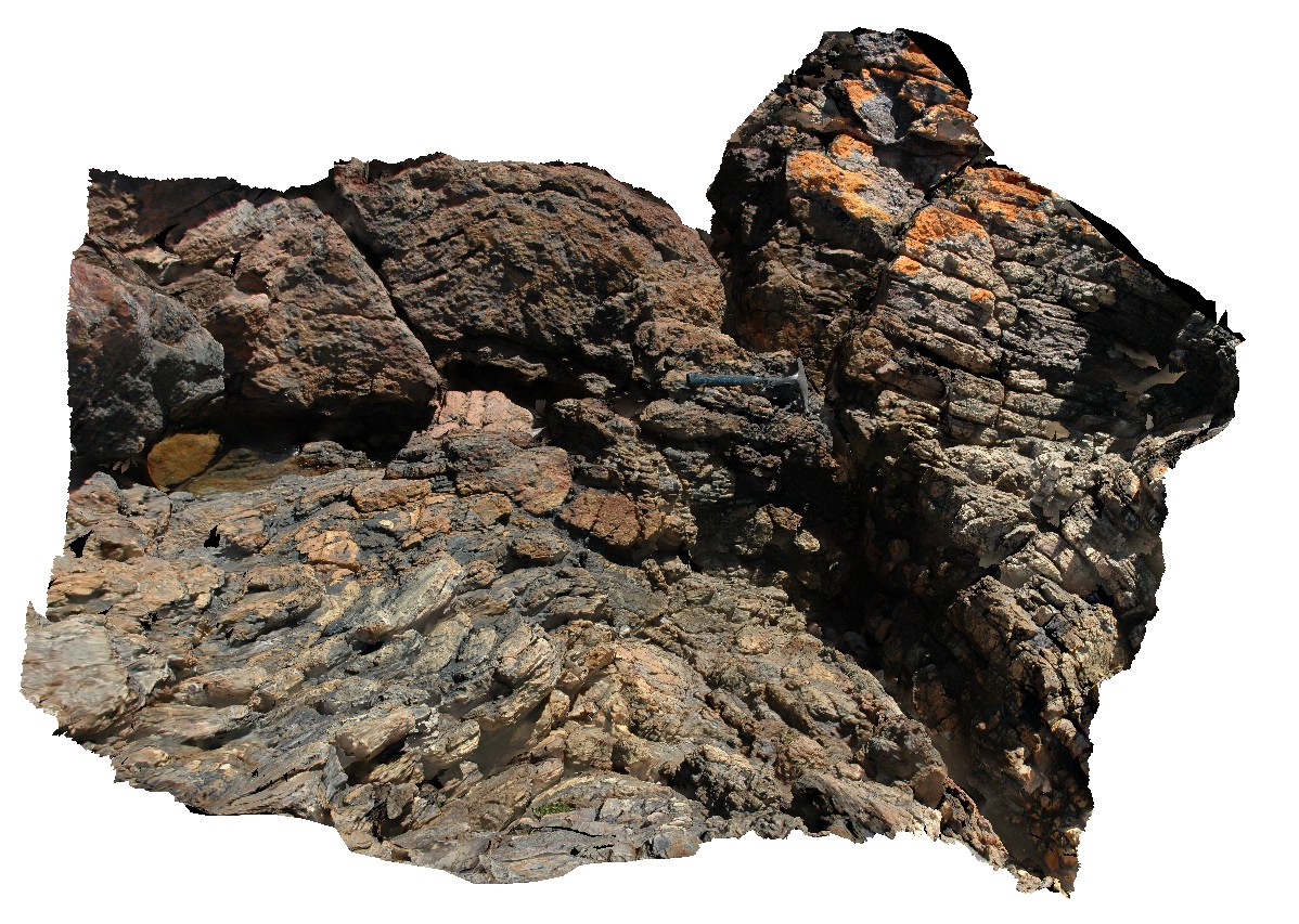
folded, blocky metasandstone with lesser mudstone? Beds. The three Sisters, Penguin Road, northern Tasmania. |
2.50 |
-41.12728293000 |
146.12701010000 |
3.000 |
metasediments, fold, structure |
metasediments |
Sisters2 Map
 |
20 |
03/16/2015 2:37 p.m. |
3D |
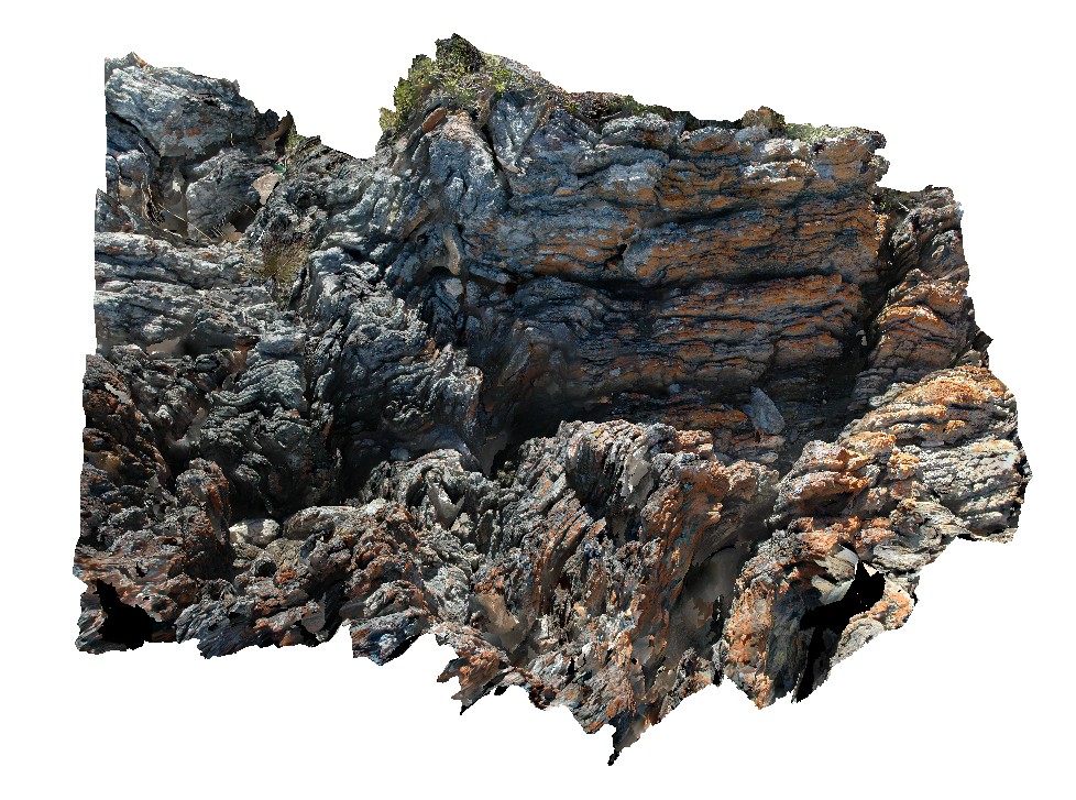
folded, thinly bedded quartzite beds with kink bands. The three Sisters, Penguin Road, northern Tasmania. |
2.00 |
-41.12723956000 |
146.12731751000 |
3.000 |
fold, kink band, quartzite, structure |
quartzite |
Sisters3 Map
 |
20 |
03/16/2015 2:37 p.m. |
3D |
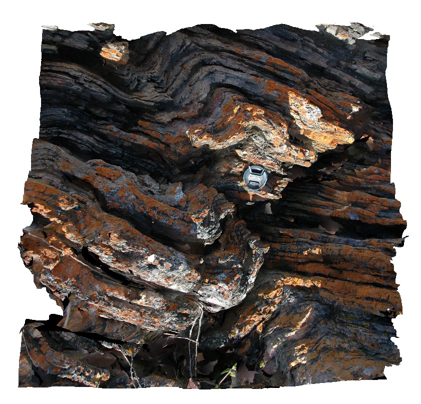
kind bands in folded quartzite beds. The three Sisters, Penguin Road, northern Tasmania. |
0.60 |
-41.12723448000 |
146.12725990000 |
3.000 |
kink band, fold, structure, quartzite |
quartzite |
Somerset1 Map
 |
5 |
03/16/2015 2:37 p.m. |
3D |
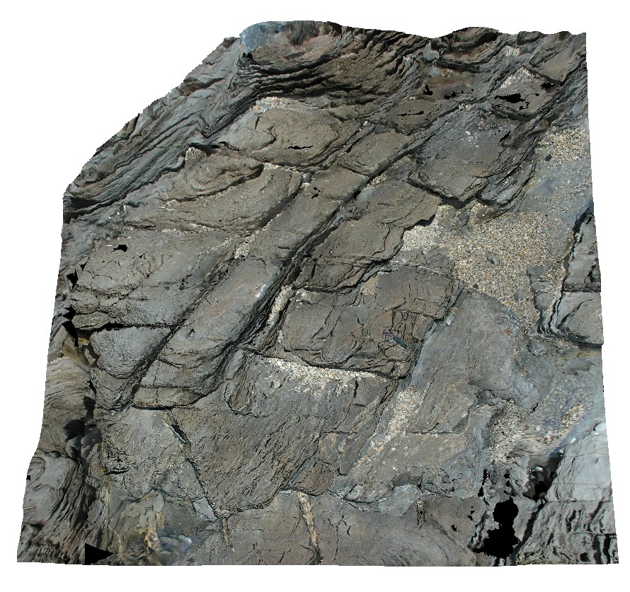
recumbent fold in metasediments with axial planar cleavage. Somerset, northern Tasmania. |
8.00 |
-41.03392685000 |
145.82548716000 |
2.000 |
recumbent fold, fold, metasediments, structure |
metasediments |
Somerset2 Map
 |
5 |
03/16/2015 2:38 p.m. |
3D |
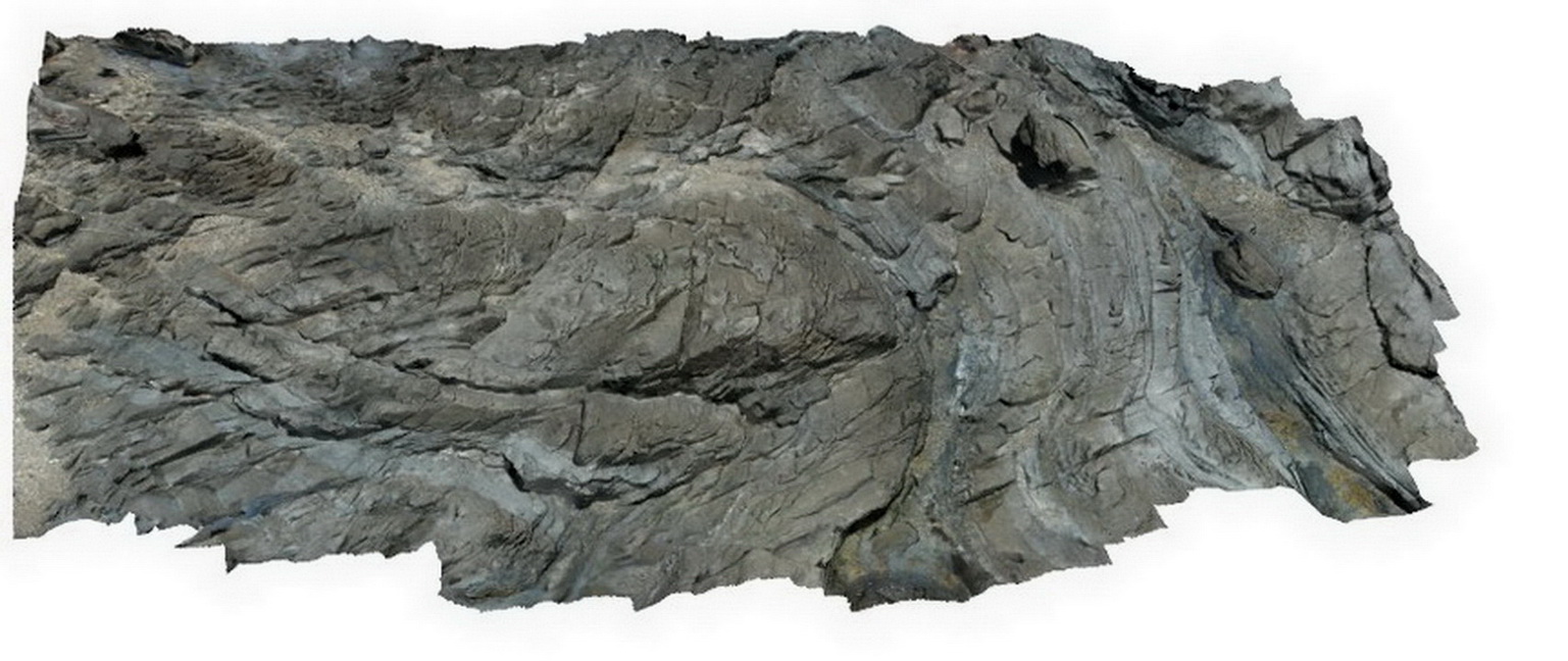
folded metasediments. Somerset, northern Tasmania. |
10.00 |
-41.03376368000 |
145.82516838000 |
2.000 |
fold, metasediment, structure |
metasediment |
SulphurCreek1 Map
 |
5 |
03/16/2015 2:38 p.m. |
3D |
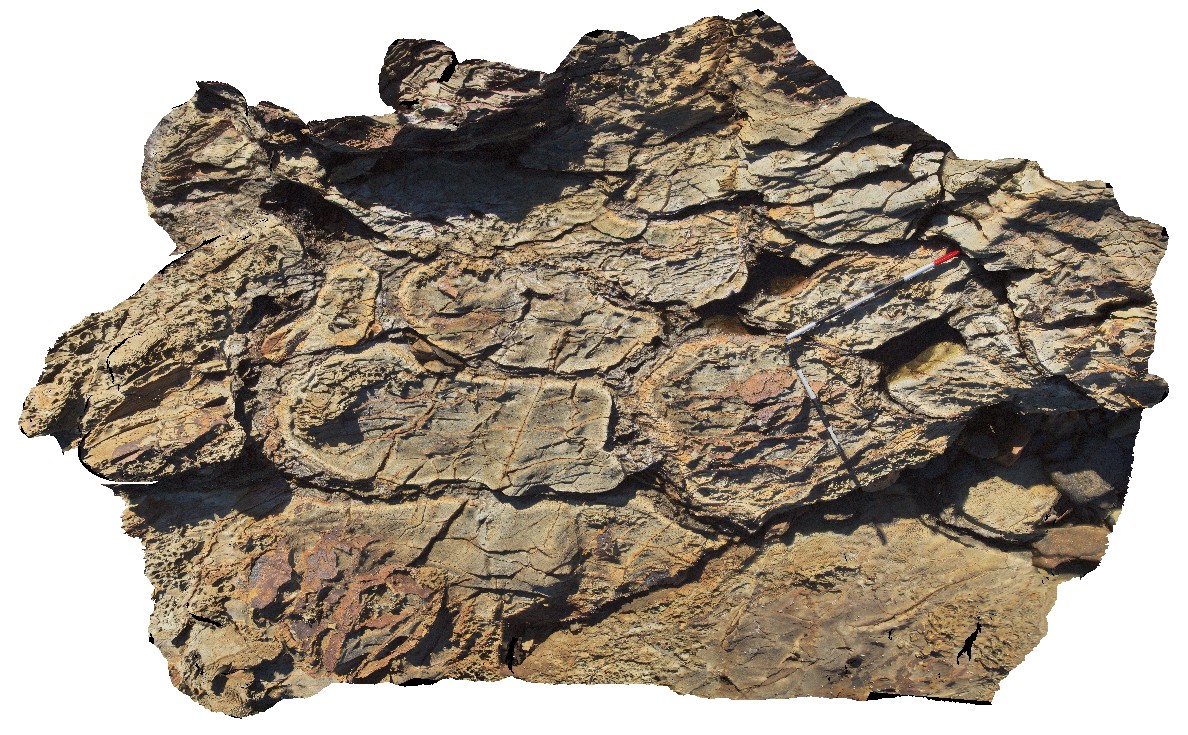
altered pillow basalts, with weathered pillow rims. Sulphur Creek, north Tas. |
3.50 |
-41.09074000000 |
146.01949000000 |
1.000 |
pillow basalt, pillow margin |
basalt |


