GordonRdUAV1 Map
 |
20 |
02/23/2016 9:18 a.m. |
UAV |
view of polyharmonic folding quartzite and phyllite beds, Gordon Dam Road, Tasmania. |
6.00 |
-42.81057000000 |
146.09669000000 |
-9999.000 |
polyharmonic folding, quartzite, deformation |
phyllite |
KarijiniFSP9 Map
 |
0 |
05/29/2016 noon |
FSP |
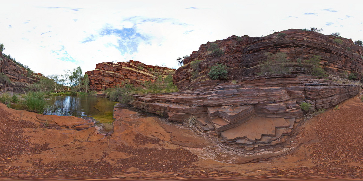
View of pool, finely bedded banded iron cliffs, crocidolite seam? and terraced floor of Dales Gorge, Karijini National Park, W.A. |
100.00 |
-22.47721000000 |
118.55666000000 |
-9999.000 |
banded iron formation, Karijini National Park |
BIF |
GibbRiverFSP7 Map
 |
0 |
06/06/2016 noon |
FSP |
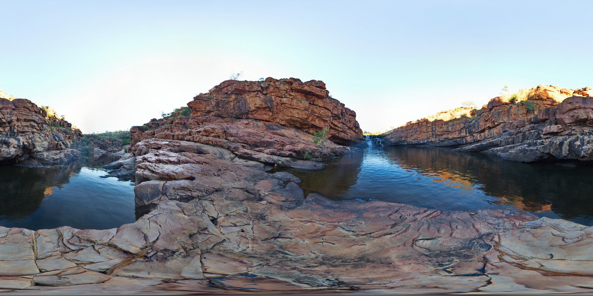
view of pools and cascades over gently dipping sandstone in Bell Creek Gorge. Derby - Gibb River Road, Kimberley, W.A. |
100.00 |
-16.99340000000 |
125.20431000000 |
-9999.000 |
waterfall, sandstone, gorge, dip |
sandstone |
BHill54 Map
 |
5 |
09/15/2015 2:59 p.m. |
3D |
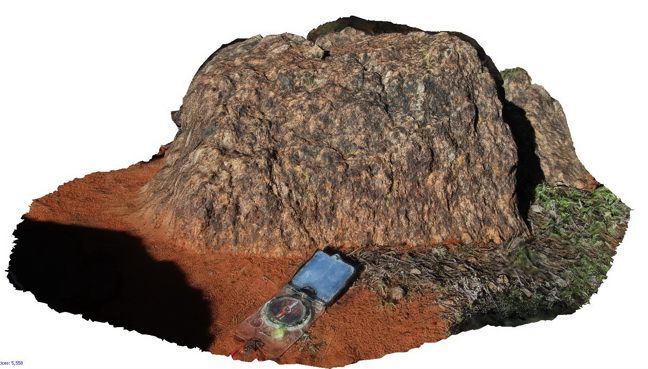
view of porphyroblastic Alma Gneiss. Broken Hill. N.S.W. |
0.20 |
-31.98932000000 |
141.47763000000 |
-9999.000 |
porphyroblastic, gneiss |
gneiss |
BH2011n10 Map
 |
20 |
03/16/2015 2:53 p.m. |
3D |
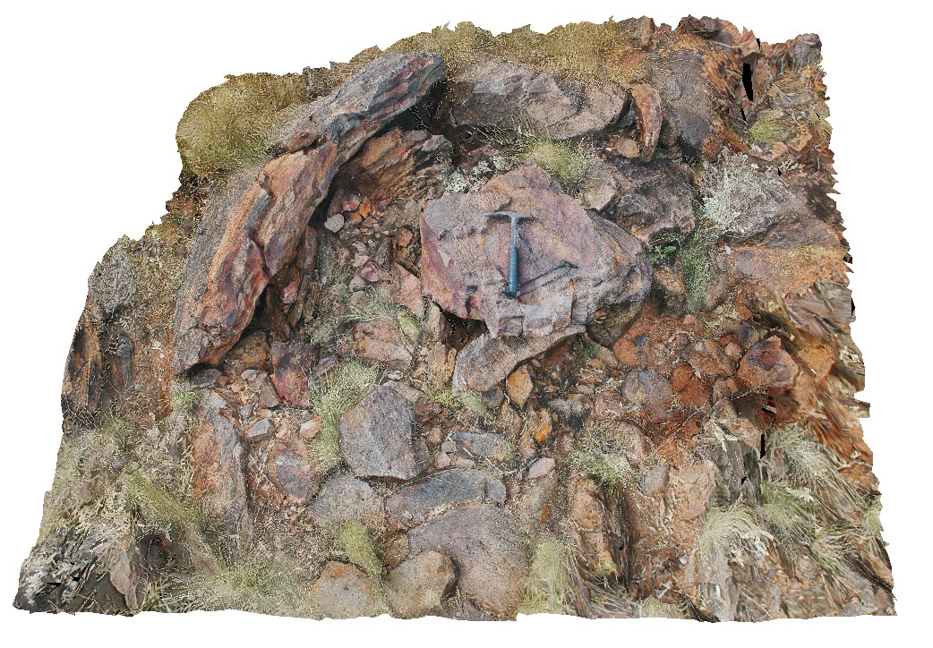
view of preserved dome in metasediments. Broken Hill, N.S.W. |
3.00 |
-31.64098561000 |
141.54132199000 |
-9999.000 |
dome, fold, metasediment, structure |
metasediment |
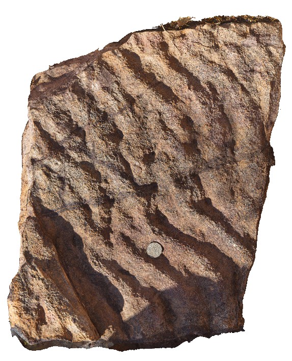
TimberCreek3 Map
 |
0 |
06/18/2016 noon |
3D |
view of preserved ripple marks on sandstone bedding plane. Cliff exposure near water tanks, Timber Creek settlement, N.T. |
0.60 |
-15.65383000000 |
130.46185000000 |
-9999.000 |
ripple marks, sandstone, sedimentology |
sandstone |
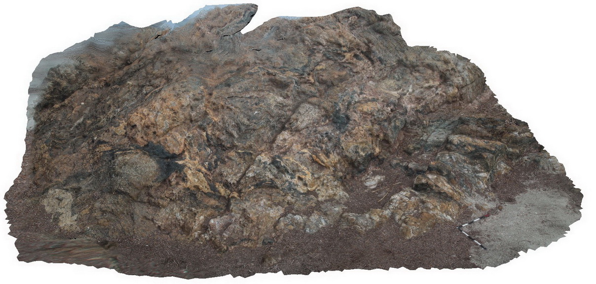
Riley7 Map
 |
0 |
10/20/2015 4:24 p.m. |
3D |
view of 'pudding rocks' / metasediments exposed on shoreline. Point Riley. |
6.00 |
-33.90218000000 |
137.62891000000 |
-9999.000 |
metasediments |
sediments |
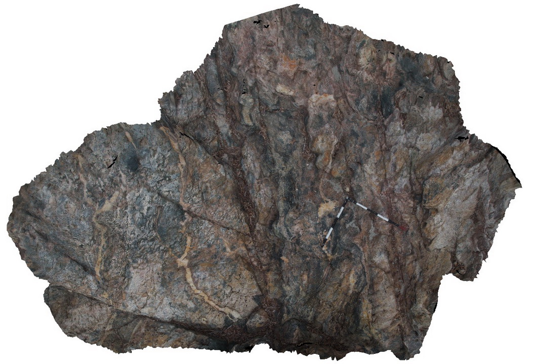
Riley9 Map
 |
0 |
10/20/2015 4:24 p.m. |
3D |
view of 'pudding rocks', metasediments, with cross cutting quartz veins. Point Riley. |
4.00 |
-33.90216000000 |
137.62889000000 |
-9999.000 |
metasediments, quartz veins |
sediments |
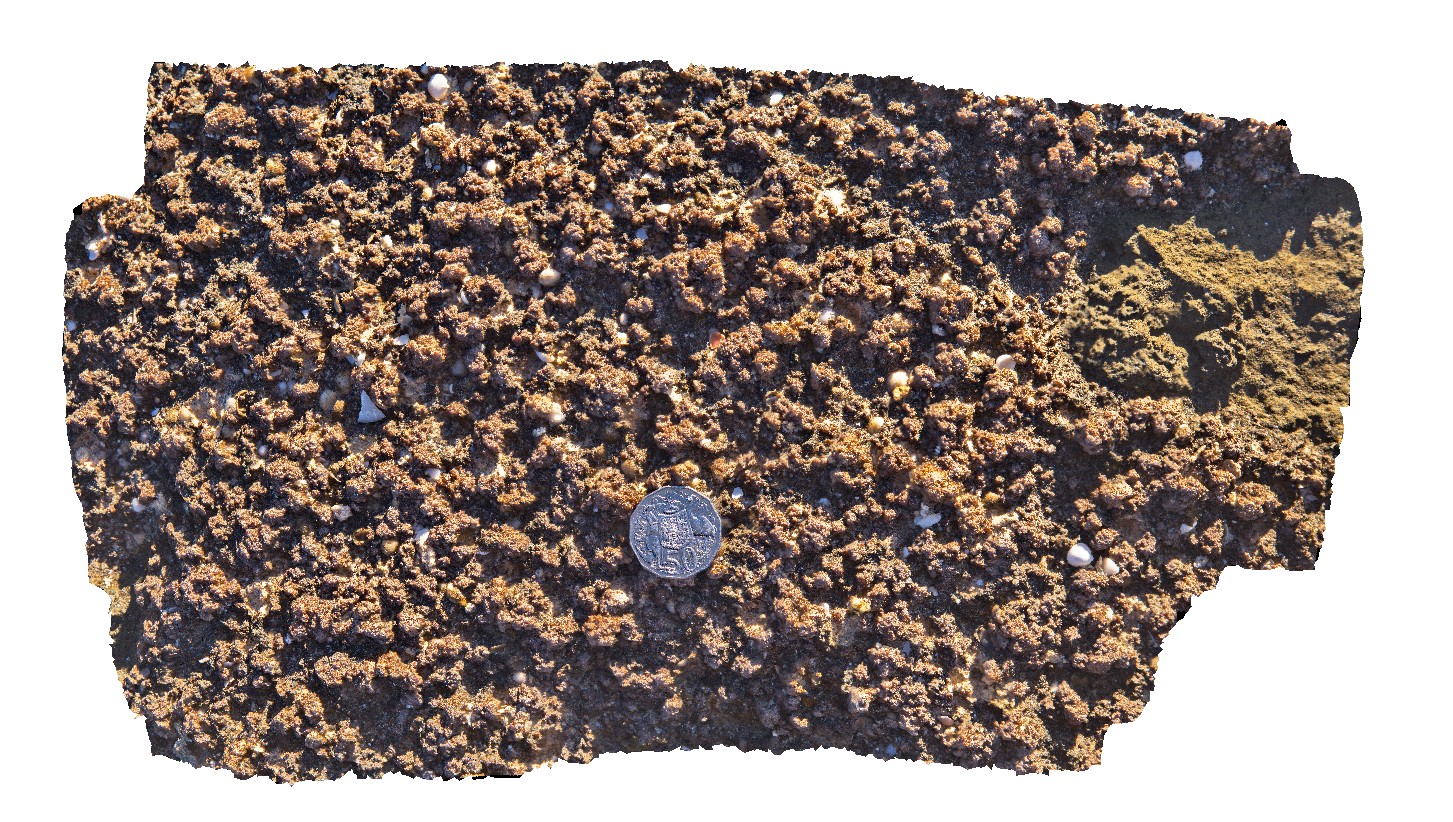
Hamelin9 Map
 |
0 |
05/23/2016 noon |
3D |
view of pustular mat feature of stromatolite. Hamelin Pool. Shark Bay, W.A. |
0.45 |
-24.40056000000 |
114.15903000000 |
-9999.000 |
tidal flat deposits, stromatolites, pustular mat |
tidal flat deposits |
Boya2 Map
 |
10 |
03/13/2015 9:27 a.m. |
3D |
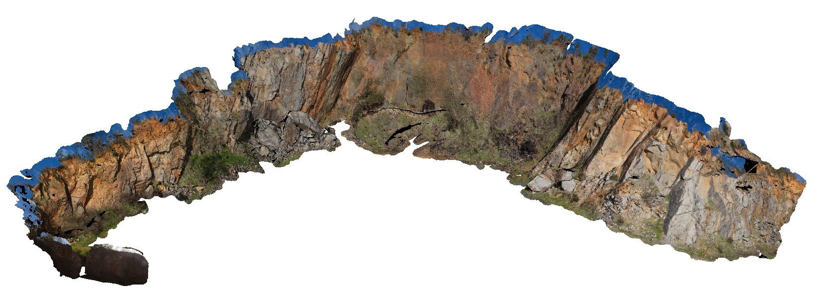
view of quarry walls, showing weathering and jointing patterns in granite and gneiss. Boya quarry, Boya, Western Australia. |
50.00 |
-31.91484580000 |
116.06239402000 |
-9999.000 |
quarry, granite, gneiss, Boya |
granite, gneiss |
Olary14 Map
 |
5 |
07/14/2015 10:43 a.m. |
3D |
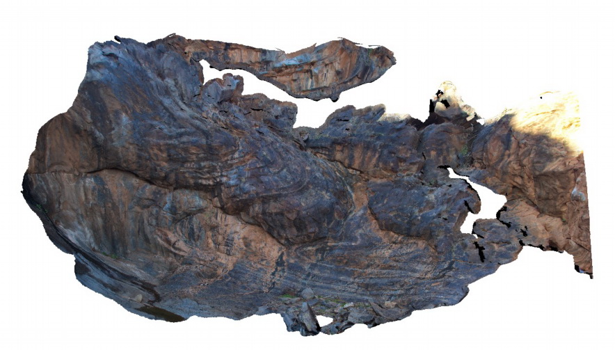
view of reclined fold at the base of a waterfall, in banded metasediments. Weekaroo, Olary. S.A. |
13.00 |
-32.17109000000 |
139.98505000000 |
-9999.000 |
reclined fold, fold, structure |
psammite |
MarbleBarFSP9 Map
 |
0 |
06/01/2016 noon |
FSP |
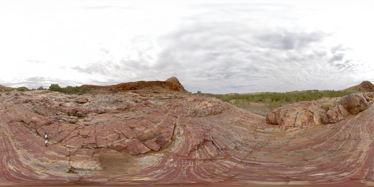
view of red, white and grey banded chert layers at Marble Bar, W.A. |
1000.00 |
-21.18741000000 |
119.71218000000 |
-9999.000 |
banded chert, Marble Bar, sedimentology |
chert |
MarbleBarFSP10 Map
 |
0 |
01/01/9999 midnight |
FSP |
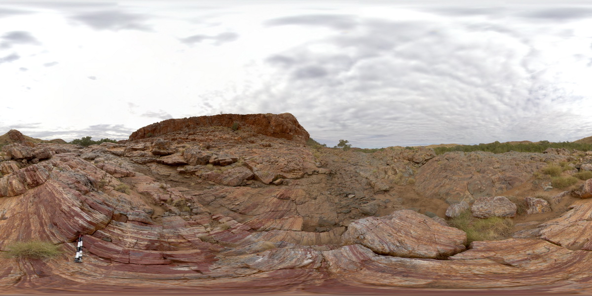
view of red, white and grey banded chert layers at Marble Bar, W.A. |
1000.00 |
-21.18780000000 |
119.71243000000 |
-9999.000 |
Marble Bar Chert Member, chert |
chert |
Florina2 Map
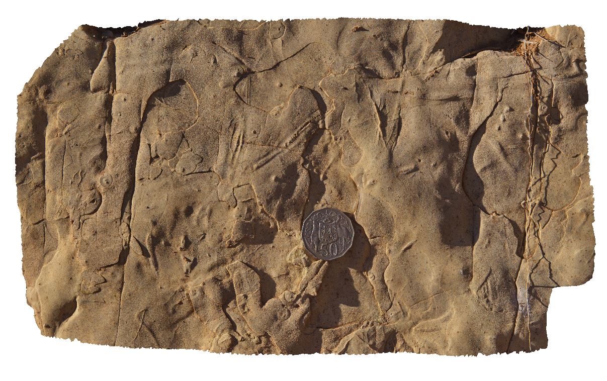 |
0 |
06/22/2016 noon |
3D |
view of resting trace fossil in dolostone. Florina Homestead at Daly River, N.T. |
0.30 |
-14.63042000000 |
131.70625000000 |
-9999.000 |
trace fossil, dolostone, sedimentology, palaeontology, fossil |
dolostone |
BHillFSP13 Map
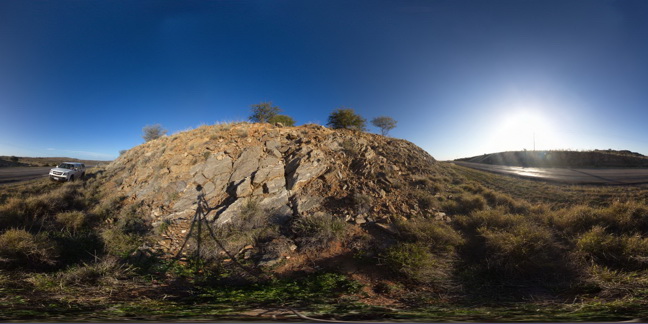 |
0 |
10/19/2015 10:37 a.m. |
FSP |
view of road cutting exposure, showing small wavelength folds in Rasp Ridge Granite Gneiss, Broken Hill. N.S.W. |
200.00 |
-32.00615000000 |
141.29033000000 |
-9999.000 |
fold, structure |
gneiss |
Gairdiner1 Map
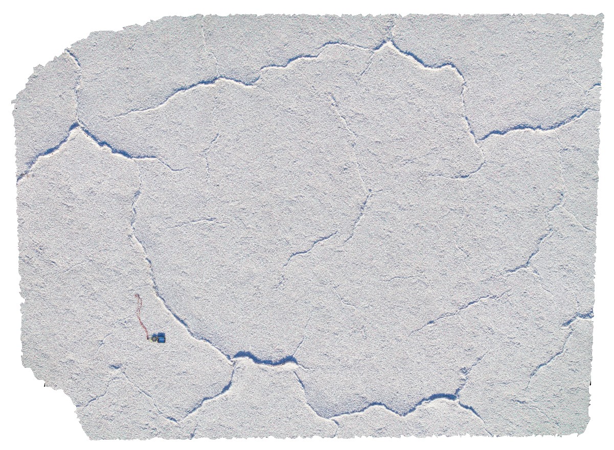 |
0 |
11/17/2015 10:20 a.m. |
3D |
view of salt-crust on Lake Gairdiner, showing 'mud-crack' texture, Lake Gairdiner. |
5.00 |
-32.12906000000 |
135.90393000000 |
-9999.000 |
evaporite, mud-crack texture |
evaporite |
KalbarriFSP3 Map
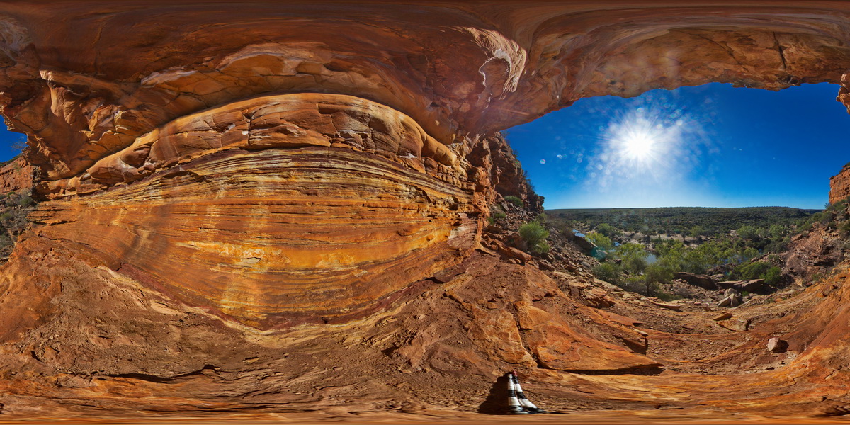 |
0 |
05/20/2016 noon |
FSP |
View of sandstone cliff exposure at upper end of the Murchison Gorge, Hawks Head Lookout. Kalbarri National Part, W.A. |
1000.00 |
-27.79029000000 |
114.47001000000 |
-9999.000 |
sandstone, sedimentology, river gorge |
sandstone |
GibbRiverFSP5 Map
 |
0 |
06/06/2016 noon |
FSP |
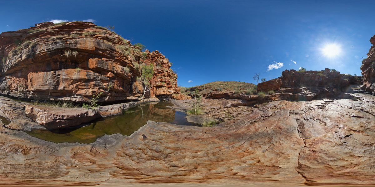
view of sandstone cliffs and ripple marks? In the Lennard Gorge. Lennard Gorge Road, W.A. |
500.00 |
-17.17666000000 |
125.19965000000 |
-9999.000 |
sandstone, ripple mark, sedimentology, gorge |
sandstone |
KakaduFPS6 Map
 |
0 |
06/25/2016 noon |
FSP |
view of sandstone escarpment and cross bedding in sandstone at Bardedjilidji Walk. Kakadu National Park, N.T. |
500.00 |
-12.43680000000 |
132.97054000000 |
-9999.000 |
sandstone, cross bedding, Kakadu National Park |
sandstone |
KakaduFSP8 Map
 |
0 |
01/01/9999 midnight |
FSP |
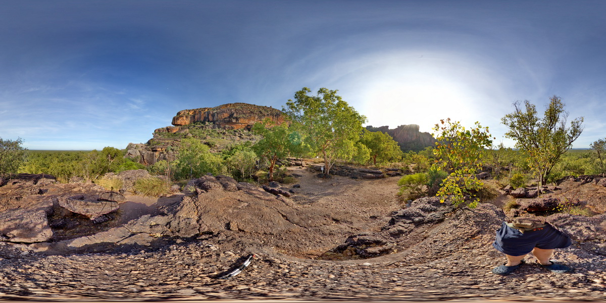
view of sandstone escarpment in background and conglomerate (as in site Kakadu5) in foreground. . Nourlangie Rock Art Site. Kakadu National Park, N.T. |
500.00 |
-12.86476000000 |
132.81590000000 |
-9999.000 |
sandstone, Kakadu National Park, escarpment, sedimentology |
sandstone |
KakaduFSP7 Map
 |
0 |
06/25/2016 noon |
FSP |
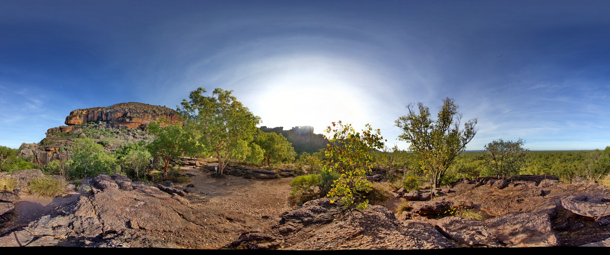
view of sandstone escarpment in background and conglomerate (as in site Kakadu5) in foreground. . Nourlangie Rock Art Site. Kakadu National Park, N.T. |
500.00 |
-12.86476000000 |
132.81610000000 |
-9999.000 |
conglomerate, sedimentology, sandstone |
sandstone |
CrowdyFSP1 Map
 |
5 |
08/27/2015 11:54 a.m. |
FSP |
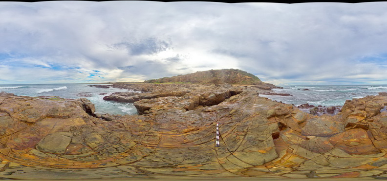
View of sandstone rock platforms of the Devonian Cowangara Formation. Crowdy Head Cliffs, N.S.W. |
50.00 |
-31.84595000000 |
152.75125000000 |
1.000 |
joints |
sandstone |
BH2014n2 Map
 |
20 |
03/16/2015 3:03 p.m. |
3D |
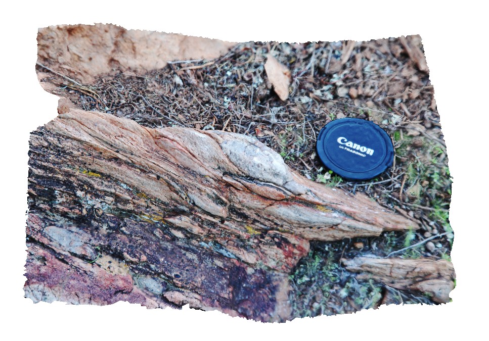
view of S-C fabric developed around flattened cobbles in conglomerate layer in sediments. Broken Hill, N.S.W. |
0.20 |
-31.61237439000 |
141.52996952000 |
-9999.000 |
S-C fabric`, structure, conglomerate, flattening |
conglomerate |
BlackmansBay1 Map
 |
0 |
02/25/2016 2:46 p.m. |
3D |
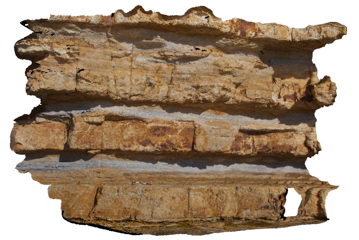
view of section of cliff exposure in Permian shallow marine sediments. Blackmans Bay, Tasmania. |
7.00 |
-42.99987000000 |
147.32823000000 |
-9999.000 |
Permian, strata |
siltstone |
WTasFSP31 Map
 |
5 |
01/01/9999 midnight |
FSP |
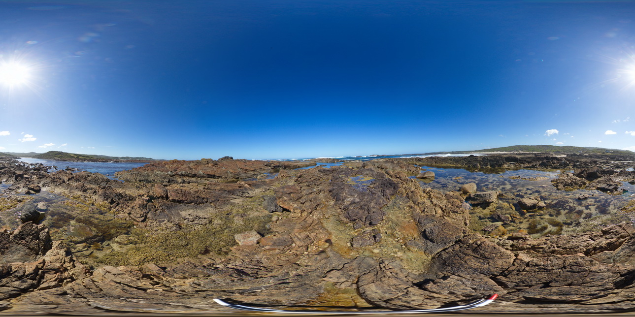
view of shallow basin in shallowly dipping, fine-grained, quartz sandstone and siltstone. Duck Creek, West Tasmania. |
1000.00 |
-41.76824000000 |
145.00360000000 |
-9999.000 |
folding, basin, structure |
sandstone |


