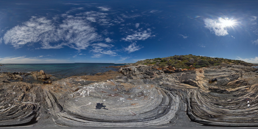
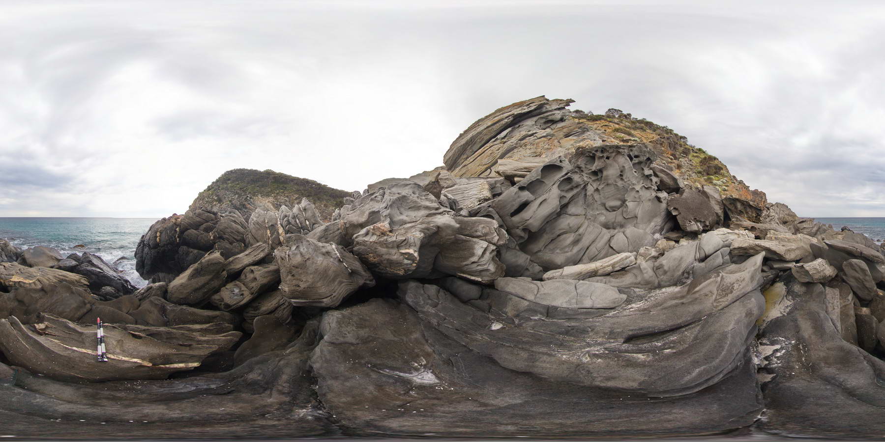
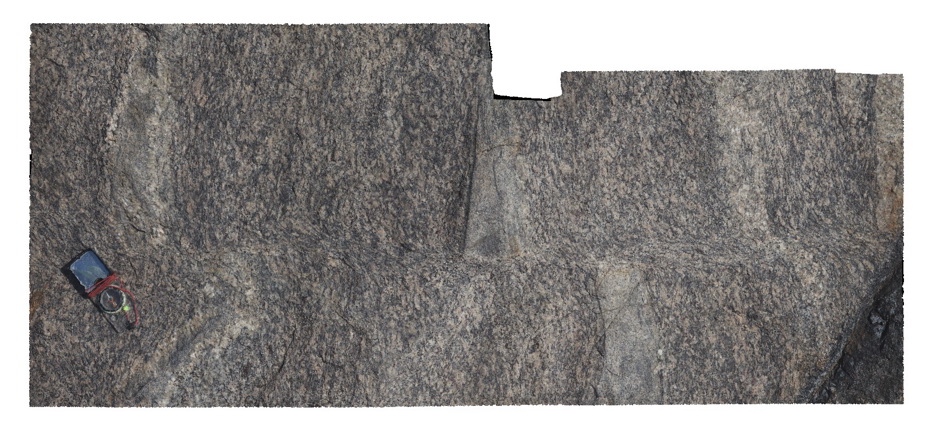
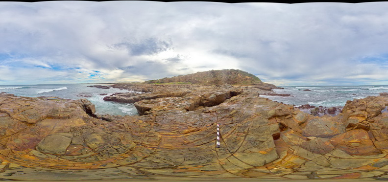
PtNeillFSP3 Map
 |
0 |
10/20/2015 3:21 p.m. |
FSP |
view of shore platform exposure of granitic and mafic banded mylonite, showing intrusive contact with pegmatite, Point Neill. |
100.00 |
-34.10555000000 |
136.35071000000 |
-9999.000 |
mylonite, pegmatite, intrusive contact |
mylonite |
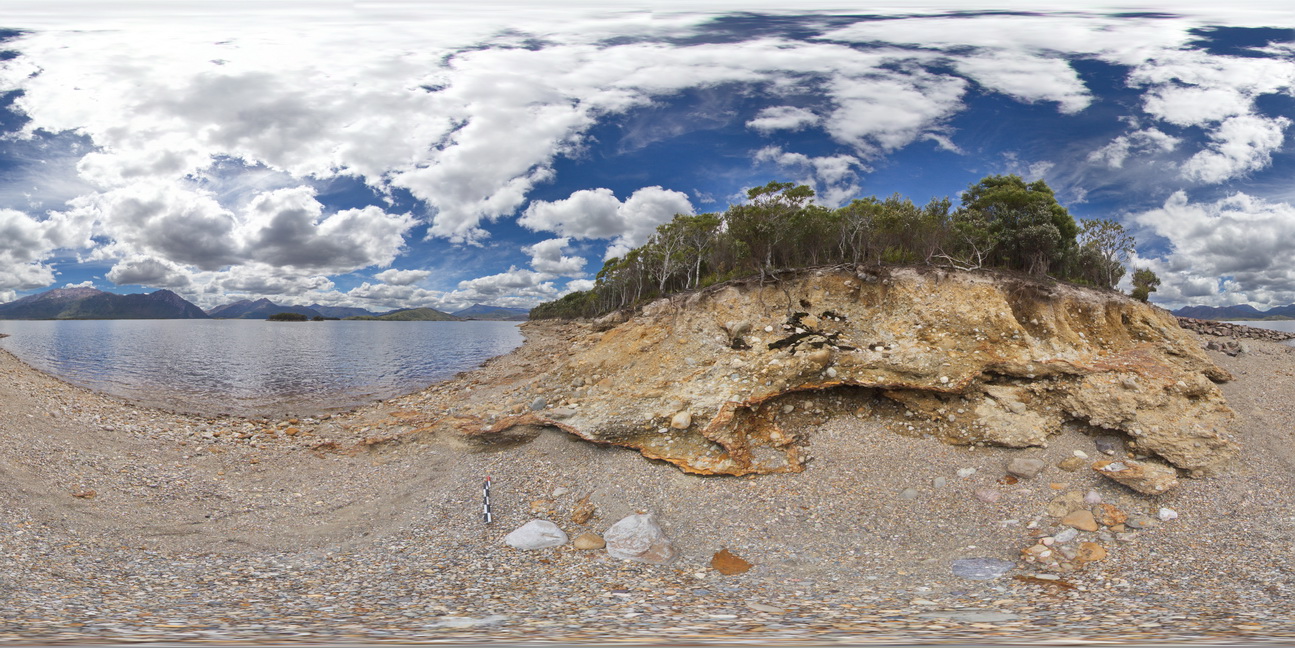
WTasFSP1 Map
 |
5 |
01/01/9999 midnight |
FSP |
view of shore of Lake Burbury, showing the vista and (Pleistocene) tillite. Lake Burbury, West Tasmania. |
200.00 |
-42.09616000000 |
145.67336000000 |
-9999.000 |
tillite, Pleistocene sediments |
tillite |
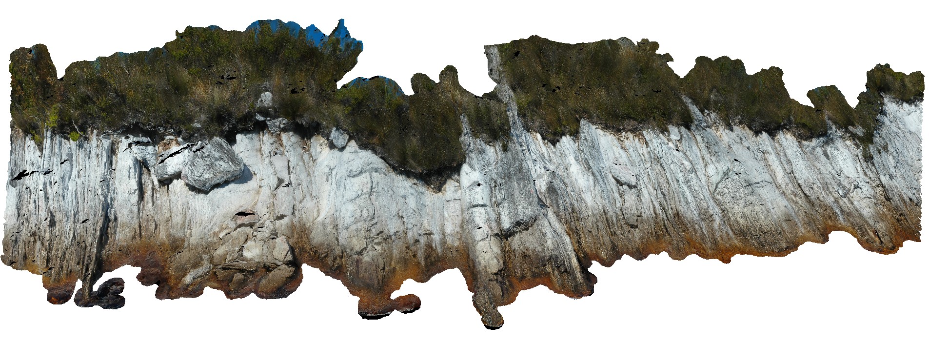
BremerFSP2 Map
 |
0 |
06/05/2016 10:43 a.m. |
FSP |
view of shoreline outcrop, showing banded gneiss and surrounding coastline. Bremer Bay. W.A. |
200.00 |
-34.45621000000 |
119.36177000000 |
-9999.000 |
banded gneiss |
gneiss |
BremerFSP1 Map
 |
0 |
06/05/2016 10:43 a.m. |
FSP |
view of shoreline outcrop, showing banded gneiss and surrounding coastline. Bremer Bay. W.A. |
200.00 |
-34.45605000000 |
119.36204000000 |
-9999.000 |
banded gneiss |
gneiss |
BremerFSP4 Map
 |
0 |
06/05/2016 10:43 a.m. |
FSP |
view of shoreline outcrop, showing banded gneiss and porphyry dyke? Bremer Bay. W.A. |
200.00 |
-34.45621000000 |
119.36203000000 |
-9999.000 |
banded gneiss |
gneiss |
BremerFSP3 Map
 |
0 |
06/05/2016 10:43 a.m. |
FSP |
view of shoreline outcrop, showing banded gneiss and porphyry dyke? Bremer Bay. W.A. |
0.00 |
-34.45627000000 |
119.36192000000 |
-9999.000 |
banded gneiss |
gneiss |
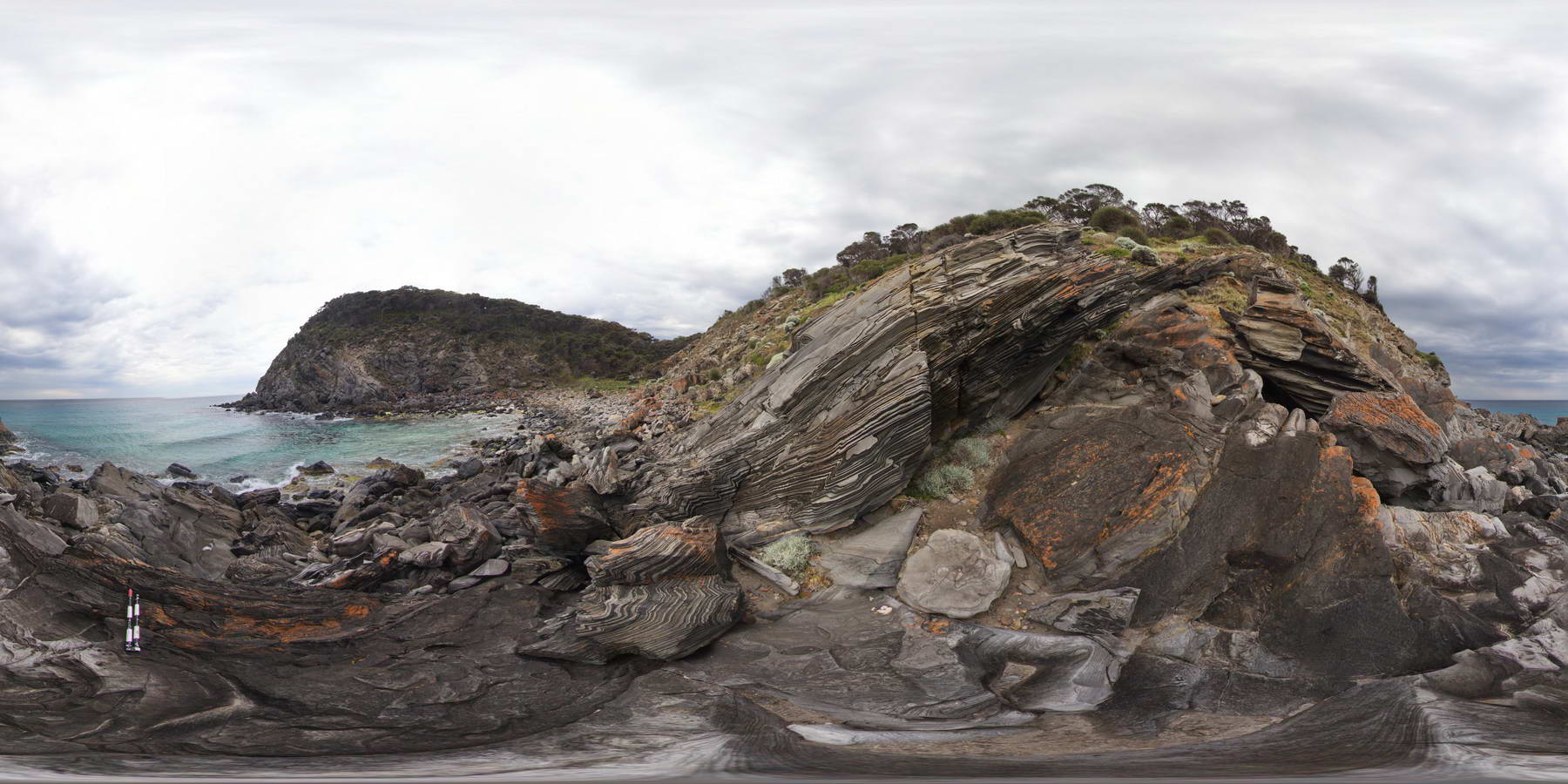
NambuccaUAV1 Map
 |
5 |
04/18/2016 11:50 a.m. |
UAV |
view of shoreline exposure, showing folded 'phyllite' of the Permo-Carboniferous Nambucca Beds. Nambucca, N.S.W. |
0.00 |
-30.64857000000 |
153.01886000000 |
-9999.000 |
phyllite, metamorphic |
phyllite |
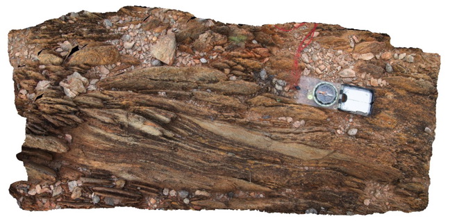
HarveysFSP2 Map
 |
0 |
10/20/2015 3:23 p.m. |
FSP |
view of shore exposure, showing open folds of finely bedded sandstone / zebra rock. Outcrop shows small fold hinge and 'S' and 'Z' parasitic folding. Harvey's Bay, Kangaroo Island. S.A. |
1000.00 |
-35.74822000000 |
136.63869000000 |
-9999.000 |
fold hinge, parasitic fold, zebra rock, structure |
sandstone |
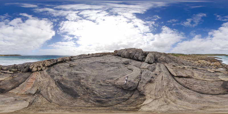
HarveysFSP1 Map
 |
0 |
10/20/2015 3:23 p.m. |
FSP |
view of shore exposure, showing open folds of finely bedded sandstone / zebra rock. Outcrop shows small fold hinge and 'S' and 'Z' parasitic folding. Harvey's Bay, Kangaroo Island. S.A. |
1000.00 |
-35.74832000000 |
136.63885000000 |
-9999.000 |
fold hinge, S and Z fold vergence, zebra rock, sandstone, structure |
sandstone |
HarveysFSP3 Map
 |
0 |
10/20/2015 3:23 p.m. |
FSP |
view of shore exposure, showing open folds of finely bedded sandstone / zebra rock, cut by quartz veins. Outcrop shows small fold hinge and parasitic folding. Harvey's Bay, Kangaroo Island. S.A. |
1000.00 |
-35.74806000000 |
136.63852000000 |
-9999.000 |
parasitic folding, structure, folding, zebra rock |
sandstone |
Pedder29 Map
 |
5 |
05/04/2016 10:14 a.m. |
3D |
view of shore exposure of quartzite sediments along Lake Pedder, showing plunging, upright folds. Lake Pedder, south west Tasmania. |
22.00 |
-42.84673300000 |
146.09027980000 |
-9999.000 |
folding, upright fold, structure, quartzite |
quartzite |
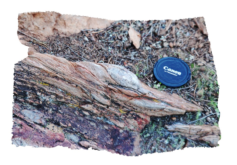
BHill73 Map
 |
5 |
09/16/2015 11:12 a.m. |
3D |
view of shear zone, showing sheared psammitic layers in metasediments. Allans Bore Area, Broken Hill. N.S.W. |
0.90 |
-31.61191000000 |
141.49387000000 |
-9999.000 |
shear zone, psammite |
psammite |
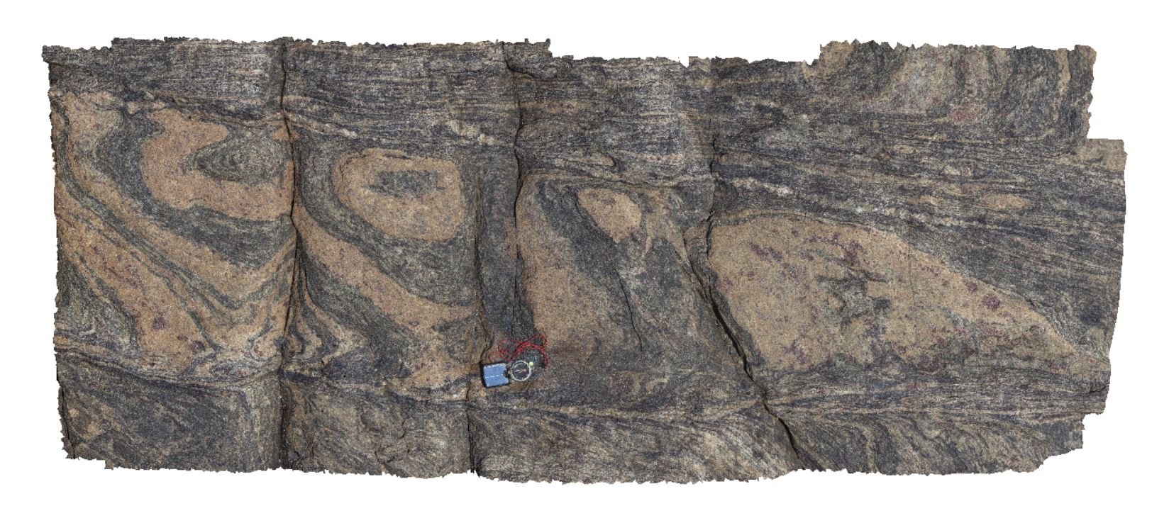
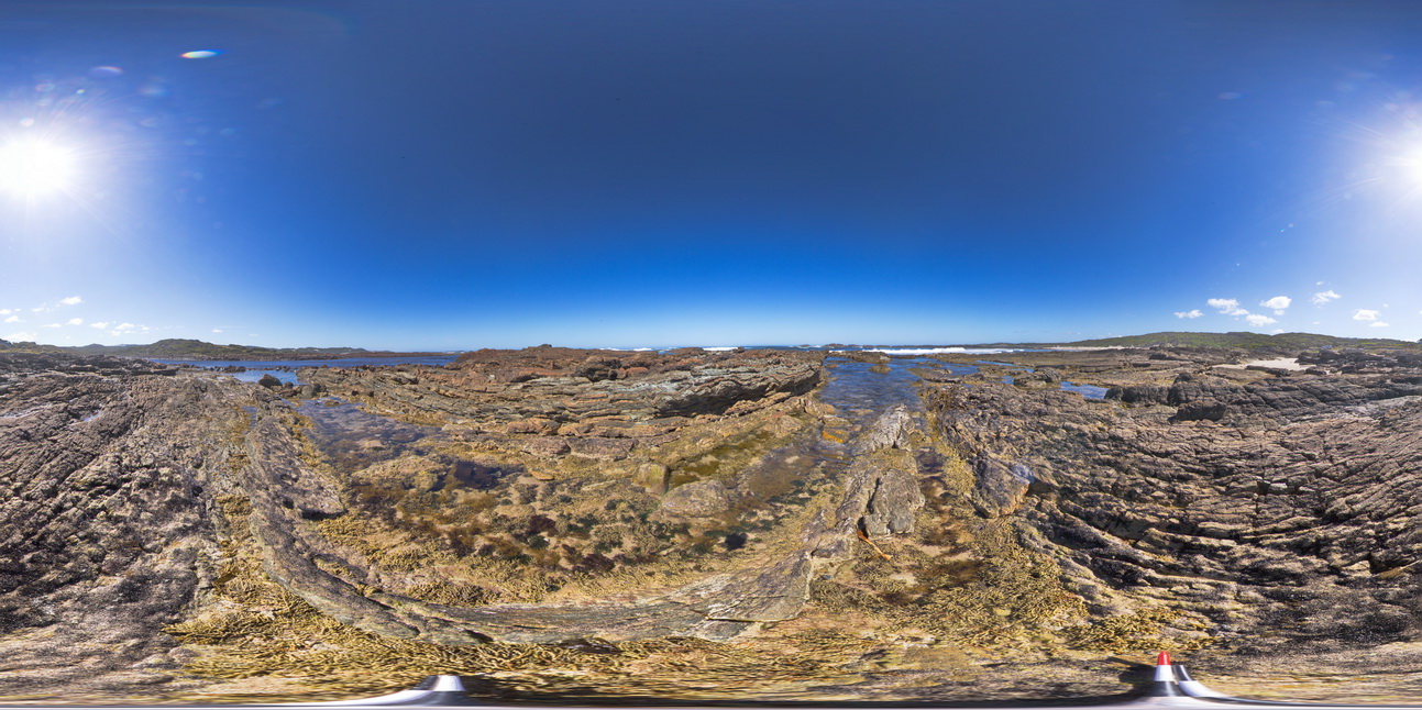
Fishery3 Map
 |
0 |
11/10/2015 9:29 a.m. |
3D |
view of shear zone in garner gneiss. Fishery Bay, S.A. |
1.50 |
-34.91367000000 |
135.69208000000 |
-9999.000 |
garnet gneiss, shear zone, structure |
gneiss |
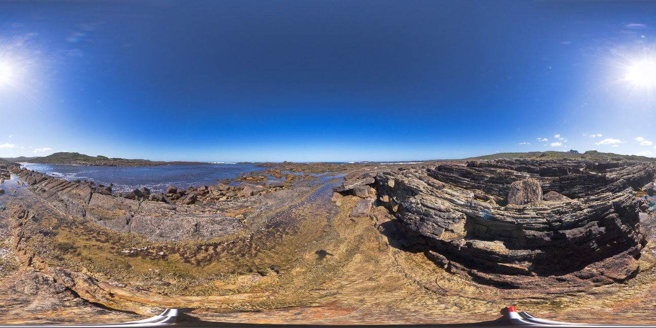
Carnot6 Map
 |
0 |
10/29/2015 9:43 a.m. |
3D |
view of shear zone cutting and offsetting foliation in banded gneiss, Cape Carnot. S.A. |
1.20 |
-34.94372000000 |
135.62036000000 |
-9999.000 |
shear zone, gneiss, foliation |
gneiss |
BHill68 Map
 |
5 |
09/16/2015 11:09 a.m. |
3D |
view of sheared margin of a pegmatite body in surrounding banded psammopelitic metasediments. Allens Tank area, Broken Hill. N.S.W. |
3.00 |
-31.61839000000 |
141.48828000000 |
-9999.000 |
shear zone, intrusive contact, metasediments |
psammopelitic, pegmatite |
WTasFSP32 Map
 |
5 |
01/01/9999 midnight |
FSP |
view of shallow to moderately dipping, thinly bedded sandstones and siltstones. Duck Creek, west coast, Tasmania. |
1000.00 |
-41.76805000000 |
145.00377000000 |
-9999.000 |
dip, bedding, structure |
sandstone |
WTasFSP33 Map
 |
5 |
01/01/9999 midnight |
FSP |
view of shallow to moderately dipping, thinly bedded sandstones and siltstones. Duck Creek, west coast, Tasmania. |
1000.00 |
-41.76815000000 |
145.00415000000 |
-9999.000 |
bedding, dip, structure |
sandstone |
WTasFSP35 Map
 |
5 |
01/01/9999 midnight |
FSP |
view of shallow to moderately dipping, bedded sandstones and siltstones. Duck Creek, west coast, Tasmania. |
1000.00 |
-41.76805000000 |
145.00401000000 |
-9999.000 |
bedding, dip, sedimentology, structure |
sandstone |
WTasFSP34 Map
 |
5 |
01/01/9999 midnight |
FSP |
view of shallow to moderately dipping, bedded sandstones and siltstones. Duck Creek, west coast, Tasmania. |
1000.00 |
-41.76799000000 |
145.00394000000 |
-9999.000 |
bedding, dip, structure, sedimentology |
sandstone |
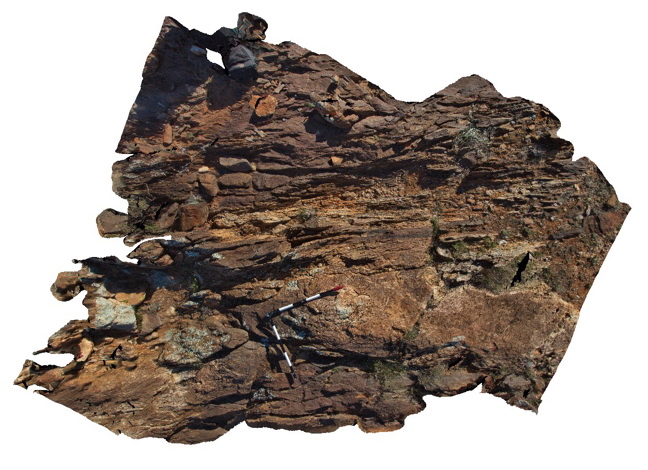
TimberCreek1 Map
 |
0 |
06/18/2016 noon |
3D |
view of shallowly dipping sandstone with thick beds at the bottom and laminated siltstone at the top. Cliff exposure near water tanks, Timber Creek settlement, N.T. |
8.50 |
-15.65278000000 |
130.46318000000 |
-9999.000 |
bedded sandstone, shallow dip, sedimentology, facies grading, graded bedding |
sandstone |
WTasFSP31a Map
 |
5 |
01/01/9999 midnight |
FSP |
view of shallow basin in shallowly dipping, fine-grained, quartz sandstone and siltstone. Duck Creek, West Tasmania. |
1000.00 |
-41.76810000000 |
145.00371000000 |
-9999.000 |
basin, dip, sedimentology, structure |
sandstone |
WTasFSP31 Map
 |
5 |
01/01/9999 midnight |
FSP |
view of shallow basin in shallowly dipping, fine-grained, quartz sandstone and siltstone. Duck Creek, West Tasmania. |
1000.00 |
-41.76824000000 |
145.00360000000 |
-9999.000 |
folding, basin, structure |
sandstone |
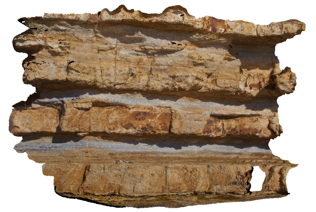
BlackmansBay1 Map
 |
0 |
02/25/2016 2:46 p.m. |
3D |
view of section of cliff exposure in Permian shallow marine sediments. Blackmans Bay, Tasmania. |
7.00 |
-42.99987000000 |
147.32823000000 |
-9999.000 |
Permian, strata |
siltstone |
BH2014n2 Map
 |
20 |
03/16/2015 3:03 p.m. |
3D |
view of S-C fabric developed around flattened cobbles in conglomerate layer in sediments. Broken Hill, N.S.W. |
0.20 |
-31.61237439000 |
141.52996952000 |
-9999.000 |
S-C fabric`, structure, conglomerate, flattening |
conglomerate |
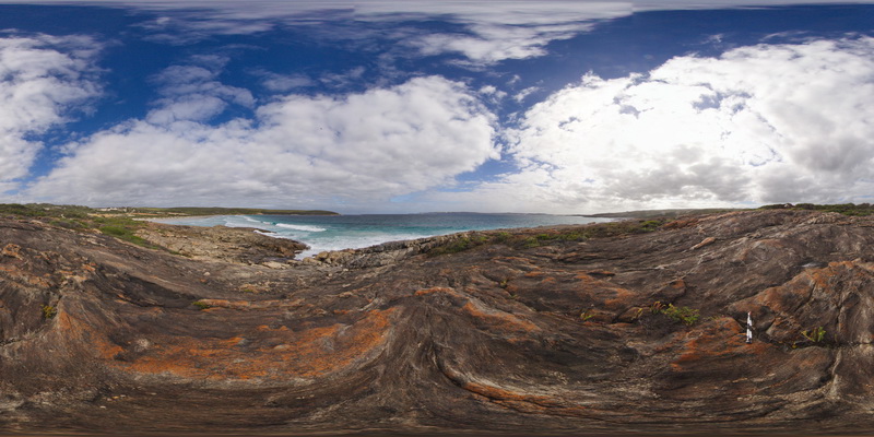
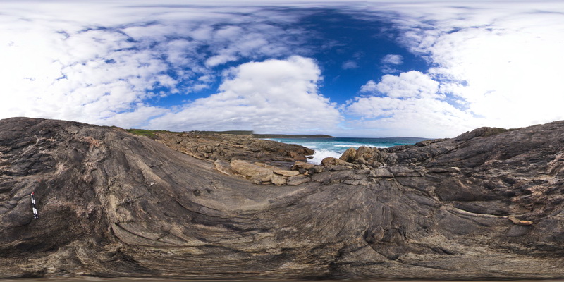
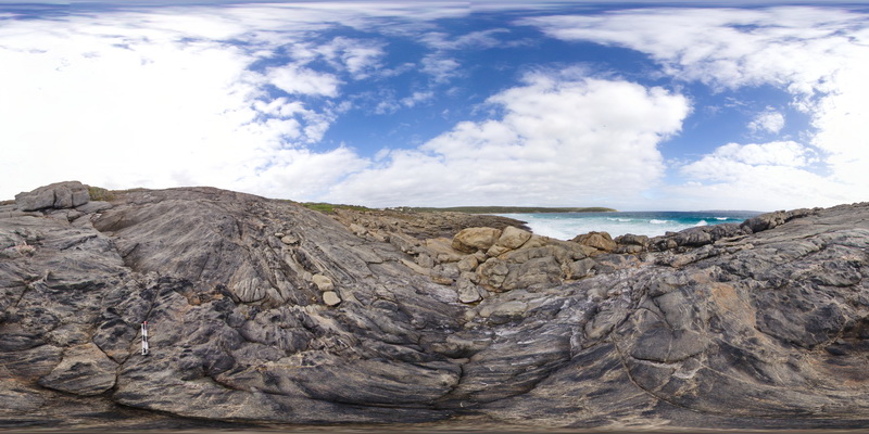
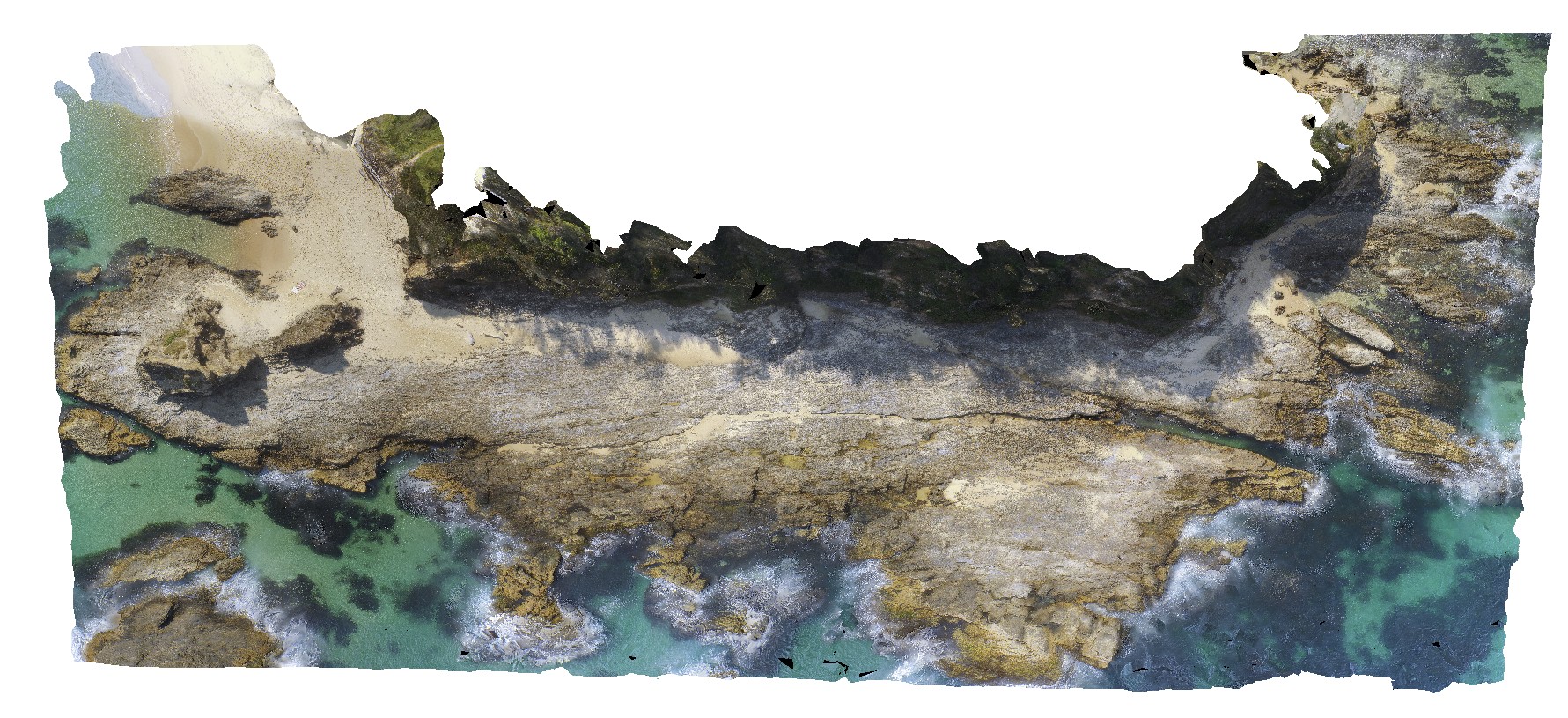
CrowdyFSP1 Map
 |
5 |
08/27/2015 11:54 a.m. |
FSP |
View of sandstone rock platforms of the Devonian Cowangara Formation. Crowdy Head Cliffs, N.S.W. |
50.00 |
-31.84595000000 |
152.75125000000 |
1.000 |
joints |
sandstone |