MarbleBar13 Map
 |
0 |
06/01/2016 noon |
3D |
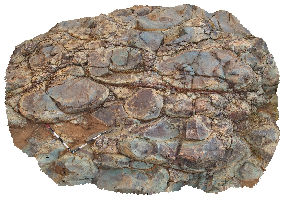
view of pillow basalt underlying the Marble Bar Chert Member. Marble Bar, Coongan River, W.A. |
3.00 |
-21.18747000000 |
119.71198000000 |
-9999.000 |
pillow basalt |
basalt |
Roches2 Map
 |
5 |
03/16/2015 2:21 p.m. |
3D |
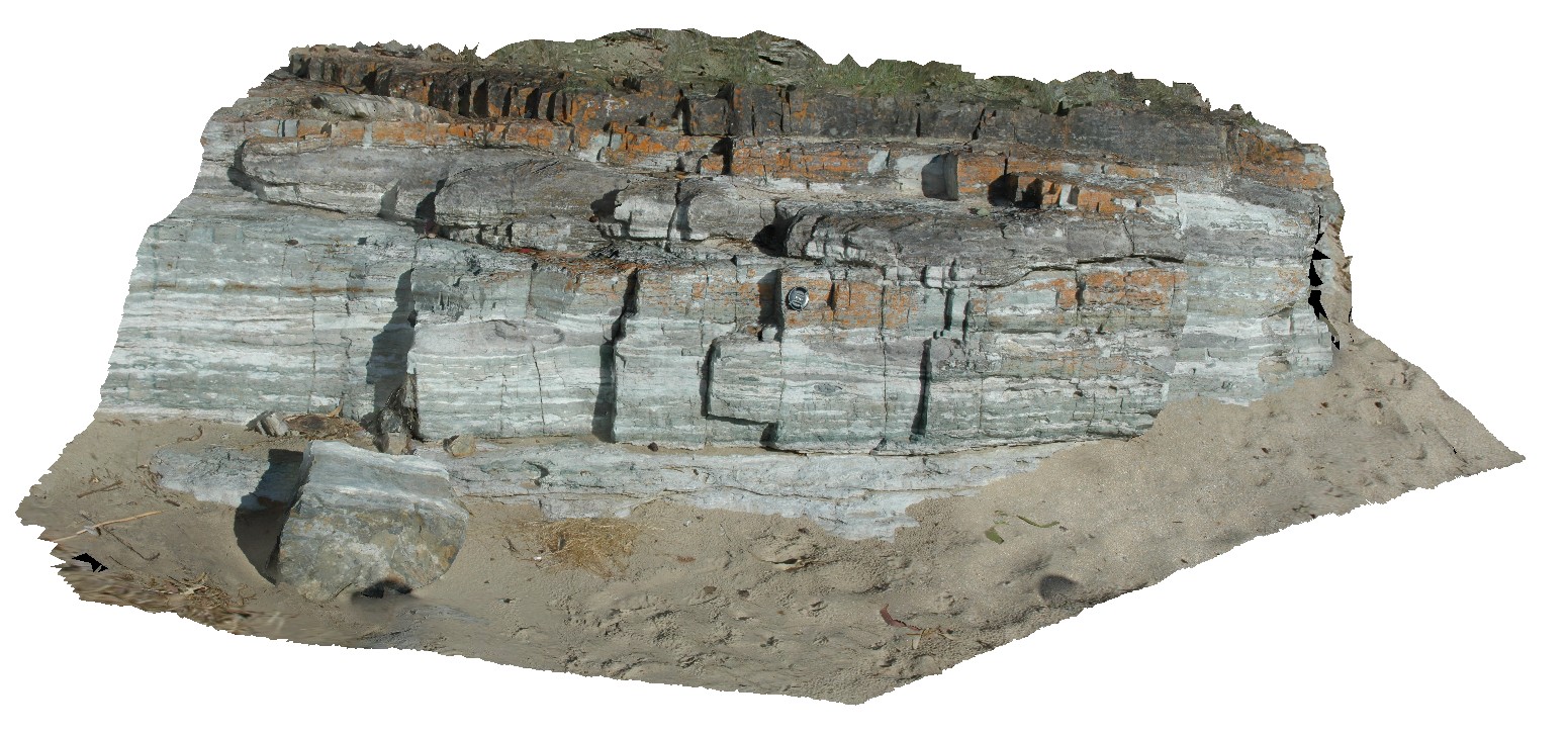
view of Permian siltstone beds with concretions and disrupted bedding. Roches Beach, Tasmania. |
5.00 |
-42.88365826000 |
147.50552434000 |
5.000 |
disrupted bedding, hornfels, sedimentology |
siltstone |
Roches3 Map
 |
5 |
03/16/2015 2:21 p.m. |
3D |
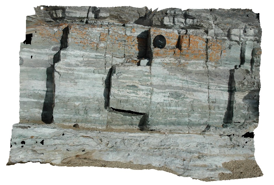
view of Permian siltstone beds with concretions and disrupted bedding. Roches Beach, Tasmania. |
1.50 |
-42.88367544000 |
147.50554050000 |
-9999.000 |
disrupted bedding, sedimentology, concretion |
siltstone |
Eaglehawk1 Map
 |
5 |
01/01/9999 midnight |
3D |
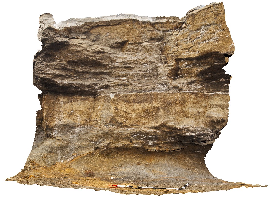
view of Permian sandstone and mudstone, showing top of sandstone with rounded to semi-rounded pebbles. Eaglehawk Neck, Tasmania. |
2.50 |
-43.03422000000 |
147.94936000000 |
-9999.000 |
Permian sediments, Parmeener Supergroup |
sandstone |
SWRocksFSP1 Map
 |
5 |
06/16/2015 5:42 p.m. |
FSP |
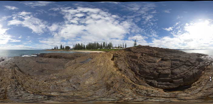
View of pebble to cobble conglomerate of the Permo-Carboniferous Kempsey Beds with cross cutting fault zones. South West Rocks, N.S.W. |
50.00 |
-30.88248000000 |
153.03951000000 |
1.000 |
fault, structure, sedimentology |
conglomerate |
SWRocksFSP2 Map
 |
5 |
06/16/2015 5:43 p.m. |
FSP |
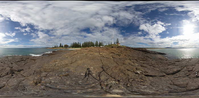
View of pebble to cobble conglomerate of the Permo-Carboniferous Kempsey Beds. South West Rocks, N.S.W. |
50.00 |
-30.88236000000 |
153.03935000000 |
1.000 |
polymictic, sedimentology |
conglomerate |
EPilbara11 Map
 |
0 |
05/31/2016 noon |
3D |
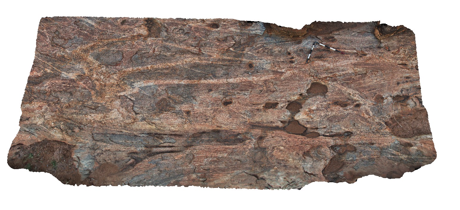
view of pavement showing complex structures, with multiple fold phases and several generations of igneous intrusions. Woodstock - Rocky Island Road, East Pilbara, W.A. |
5.30 |
-21.53955000000 |
119.33685000000 |
-9999.000 |
structure, folding, igneous intrusions |
gneiss |
EPilbaraFSP2 Map
 |
0 |
06/01/2016 noon |
FSP |
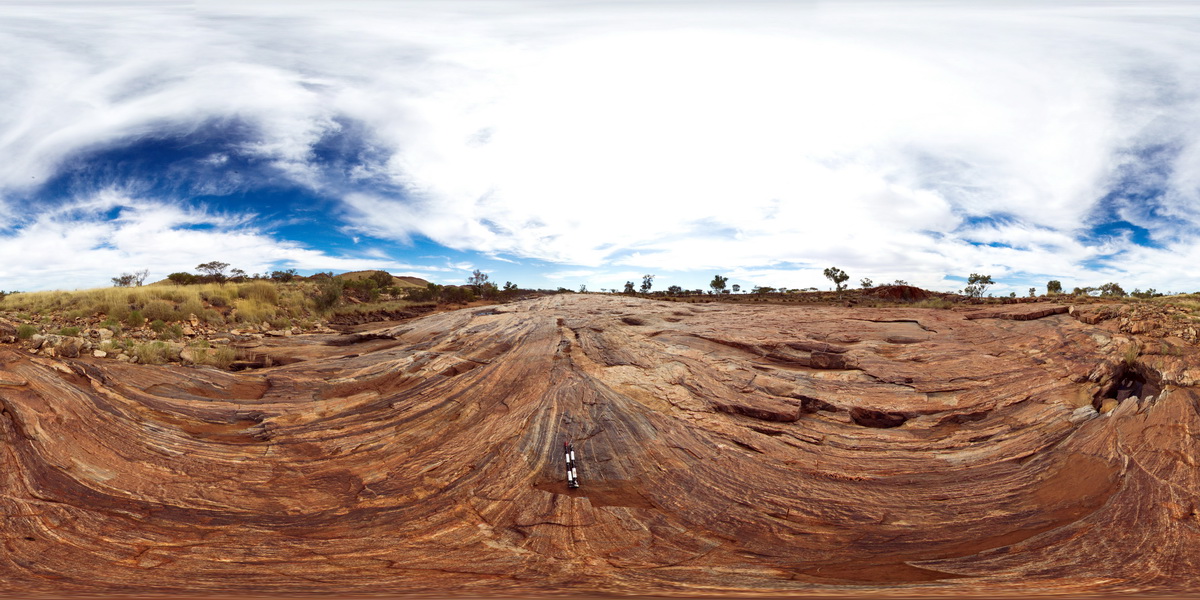
view of pavement of amphibolite stringers in granitic gneiss. Woodstock - Rocky Island Road, East Pilbara, W.A. |
1000.00 |
-21.53943000000 |
119.33561000000 |
-9999.000 |
granitic gneiss, outcrop |
gneiss |
Swansea12 Map
 |
5 |
01/01/9999 midnight |
3D |
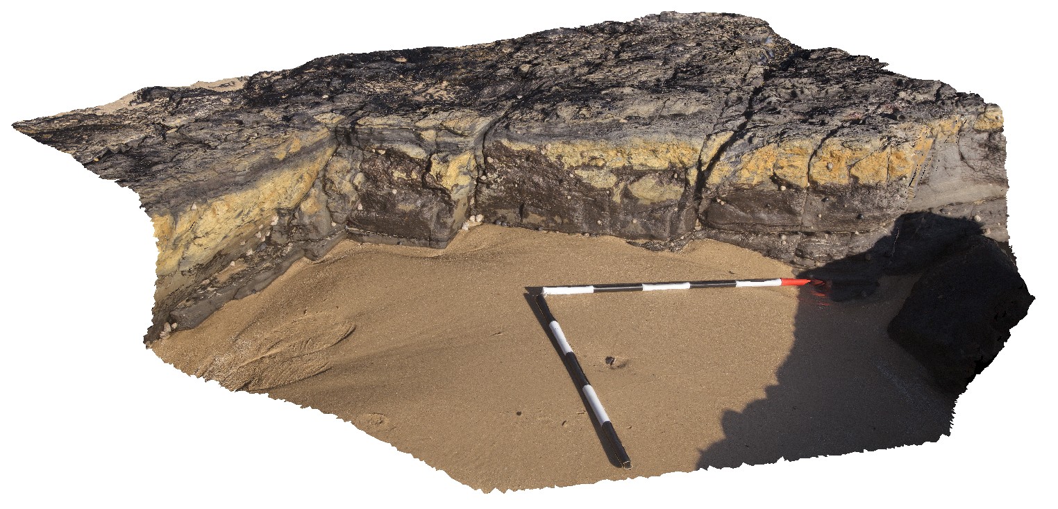
view of part of the Lower Pilot coal seam. Swansea, N.S.W. |
0.00 |
-33.08762000000 |
151.66502000000 |
-9999.000 |
coal, sedimentology |
coal |
PtMacquarieFSP2 Map
 |
5 |
01/01/9999 midnight |
FSP |
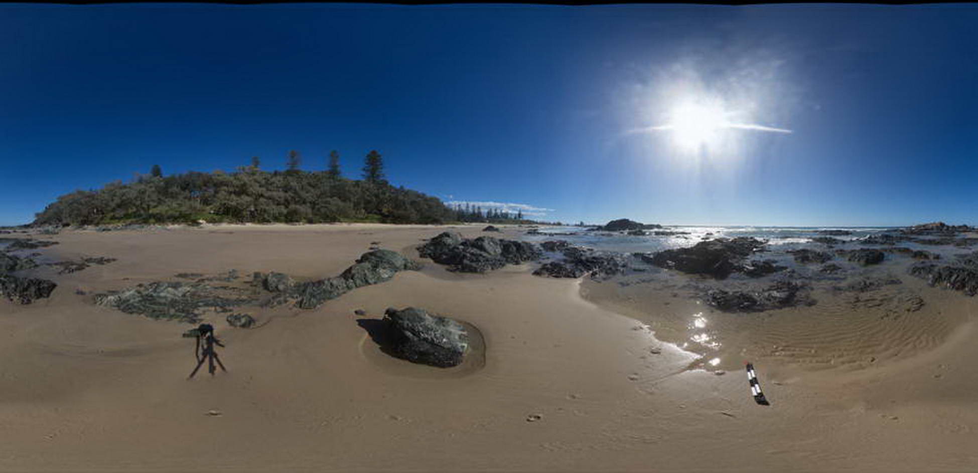
View of outcrops of the Port Macquarie Serpentinite melange |
50.00 |
-31.42977000000 |
152.92188000000 |
0.000 |
melange, ultramafic, igneous |
melange |
PtMacquarieFSP1 Map
 |
5 |
01/01/9999 midnight |
FSP |
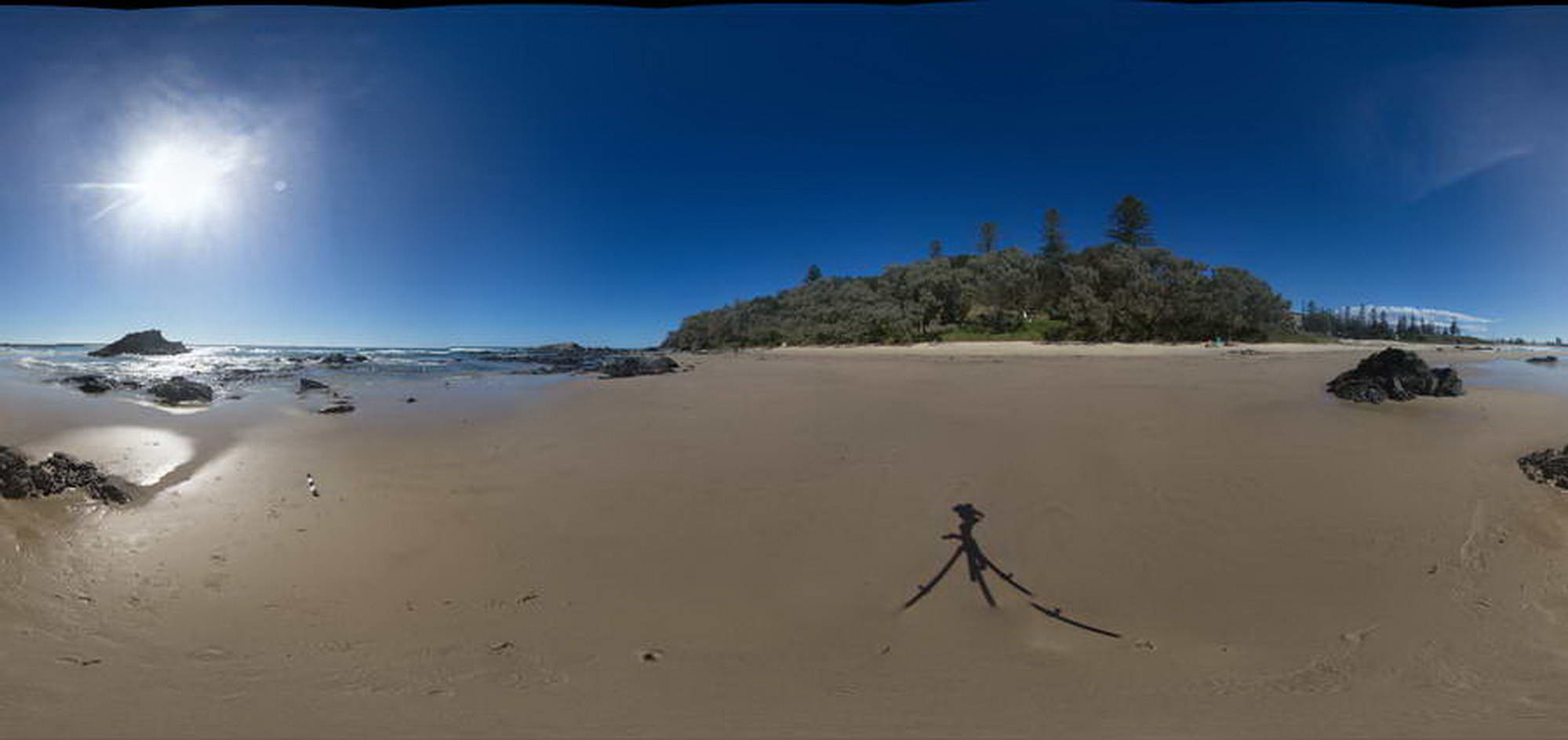
View of outcrops of the Port Macquarie Serpentinite melange |
50.00 |
-31.42976000000 |
152.92155000000 |
0.000 |
melange |
melange |
PtMacquarieFSP5 Map
 |
5 |
01/01/9999 midnight |
FSP |
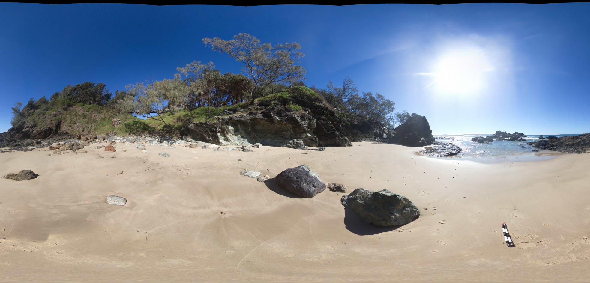
View of outcrops of the Cambrian Port Macquarie Serpentinite melange |
50.00 |
-31.43016000000 |
152.92300000000 |
0.000 |
melange, ultramafic, igneous |
melange |
PtMacquarieFSP4 Map
 |
5 |
01/01/9999 midnight |
FSP |
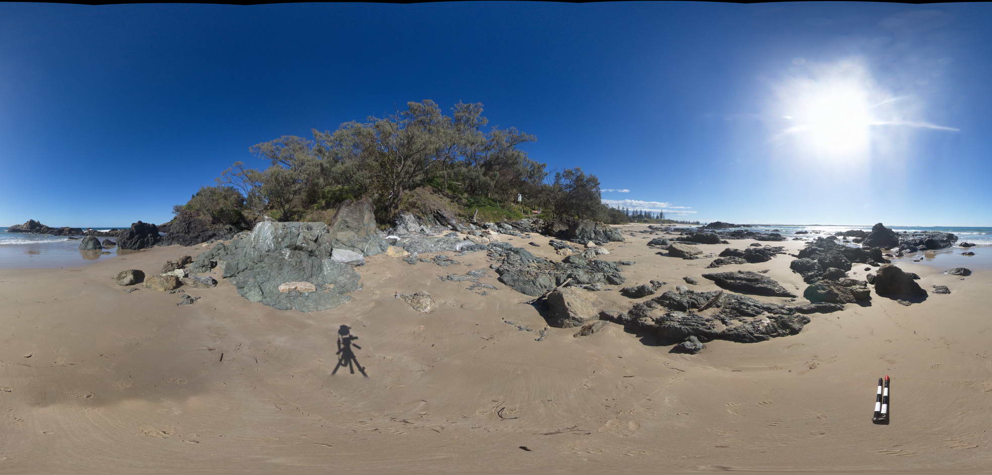
View of outcrops of the Cambrian Port Macquarie Serpentinite melange |
50.00 |
-31.42990000000 |
152.92255000000 |
0.000 |
melange, ultramafic, igneous |
melange |
PtMacquarieFSP3 Map
 |
5 |
01/01/9999 midnight |
FSP |
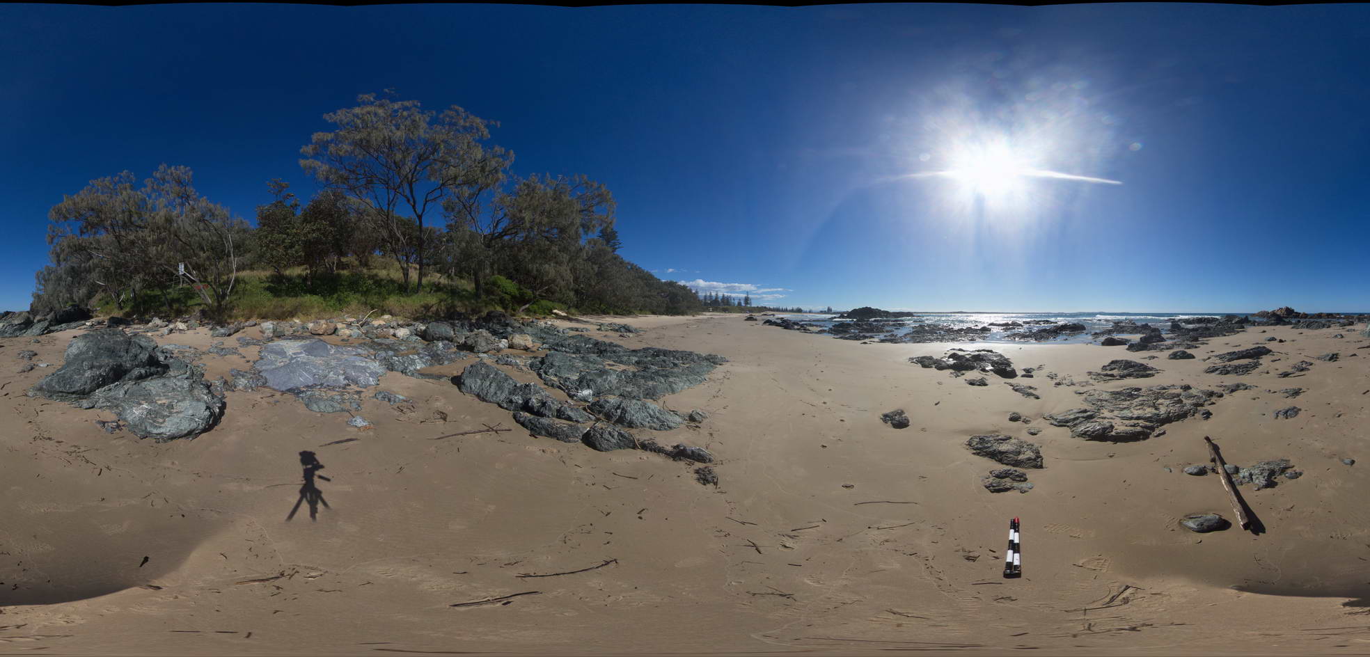
View of outcrops of the Cambrian Port Macquarie Serpentinite melange |
50.00 |
-31.42994000000 |
152.92215000000 |
0.000 |
melange, ultramafic, igneous |
melange |
BHill57 Map
 |
5 |
09/15/2015 3:05 p.m. |
3D |
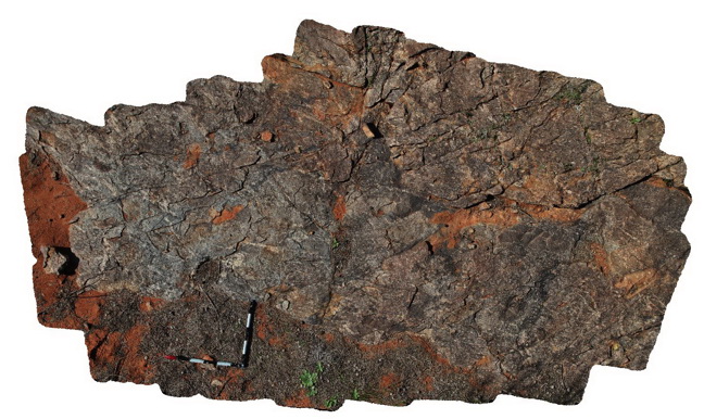
view of outcrop, showing compositional layering in Cues Formation. Broken Hill. N.S.W. |
3.50 |
-31.99010000000 |
141.48282000000 |
-9999.000 |
compositional layering, metamorphic, gneiss |
gneiss |
Olary37 Map
 |
5 |
07/14/2015 11:33 a.m. |
3D |
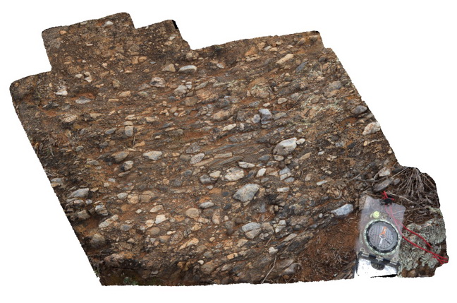
view of orientated fabric (pebbles) in the core of F2 fold in conglomerate band. Related to image Olary36. Weekaroo. Olary, S.A. |
0.40 |
-32.19503000000 |
139.95515000000 |
-9999.000 |
F2 fold, structural fabric, fold |
conglomerate |
Gawler1 Map
 |
0 |
11/17/2015 10:23 a.m. |
3D |
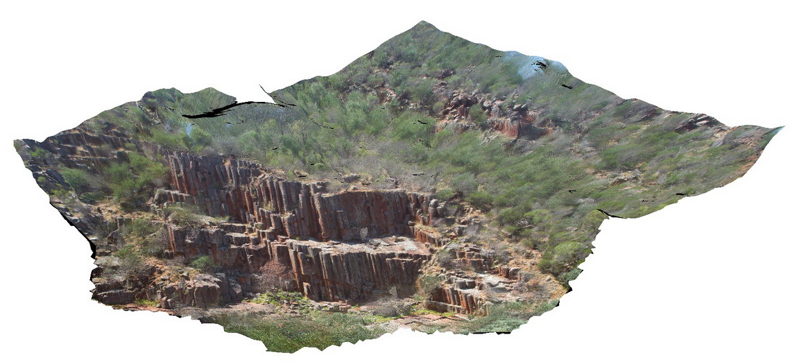
view of Organ Pipes - columnar Rhyolite? In Organ pipe Gorge. Gawler Ranges. |
100.00 |
-32.53903300000 |
135.29649300000 |
-9999.000 |
columnar, joint, rhyolite |
dacite |
TomPrice2 Map
 |
0 |
05/29/2016 noon |
3D |
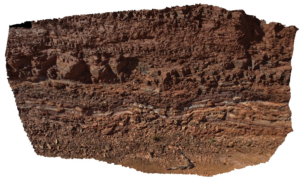
view of open folds in interbedded Shale and banded Iron on the western side of Mount Nameless, Tom Price. W.A. |
5.50 |
-22.72650000000 |
117.74983000000 |
-9999.000 |
shale, open folds, structure, folding, Hamersley Group |
shale |
GordonDam3 Map
 |
20 |
02/29/2016 9:51 a.m. |
3D |
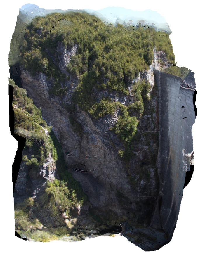
view of northern abutment of the Gordon Dam, showing folded and deformed beds of quartzite and phyllite. Tasmania. |
200.00 |
-42.73044300000 |
145.97555560000 |
-9999.000 |
fold, quartzite, deformation |
quartzite |
EPilbara25 Map
 |
0 |
06/01/2016 noon |
3D |
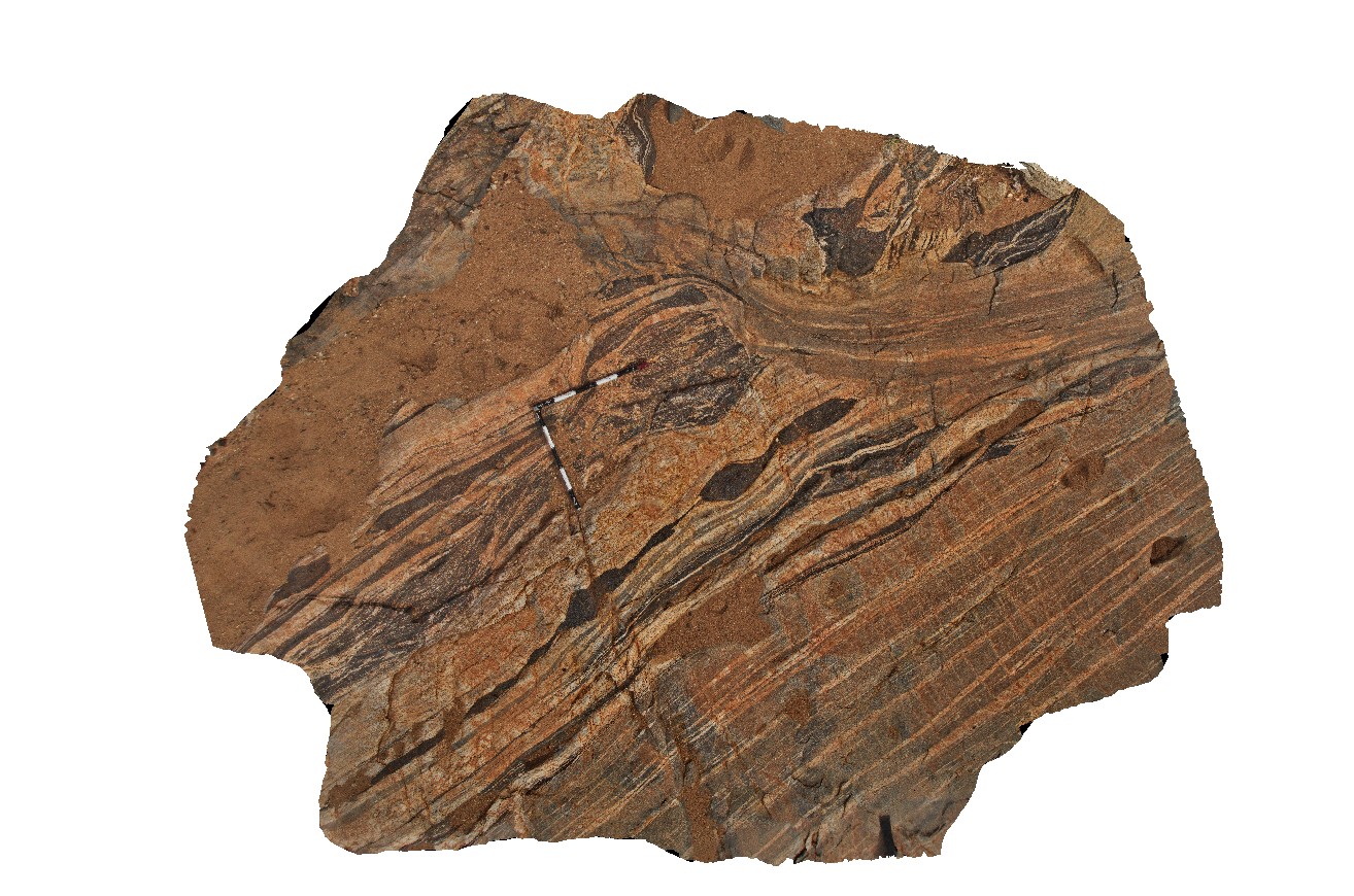
view of mylonitic layering enveloping boudinaged amphibolite. Woodstock - Rocky Island Road, East Pilbara, W.A. |
4.30 |
-21.53865000000 |
119.33497000000 |
-9999.000 |
mylonite, amphibolite, boudinage, structure |
mylonite |
GibbRiver16 Map
 |
0 |
06/06/2016 noon |
3D |
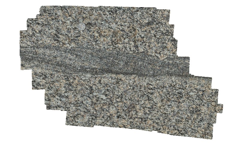
view of mylonite zone in coarse-grained granite block. Gibb River Road, near Mount Amy. W.A. |
0.80 |
-17.22855000000 |
124.90468000000 |
-9999.000 |
mylonite, granite |
granite |
GibbRiver17 Map
 |
0 |
06/06/2016 noon |
3D |
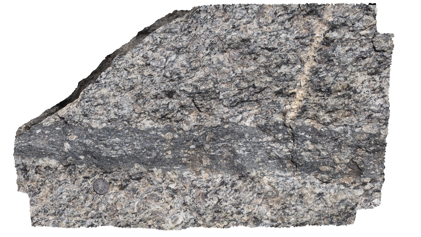
view of mylonite zone in coarse-grained granite block. Gibb River Road, near Mount Amy. W.A. |
0.80 |
-17.22855000000 |
124.90468000000 |
-9999.000 |
mylonite, granite, structure |
granite |
GibbRiver18 Map
 |
0 |
06/06/2016 noon |
3D |
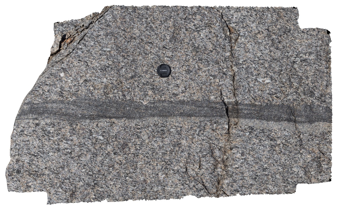
view of mylonite zone in coarse-grained granite block. Gibb River Road, near Mount Amy. W.A. |
1.00 |
-17.22855000000 |
124.90468000000 |
-9999.000 |
mylonite, granite, structure |
granite |
PtNeillFSP2 Map
 |
0 |
10/20/2015 3:21 p.m. |
FSP |
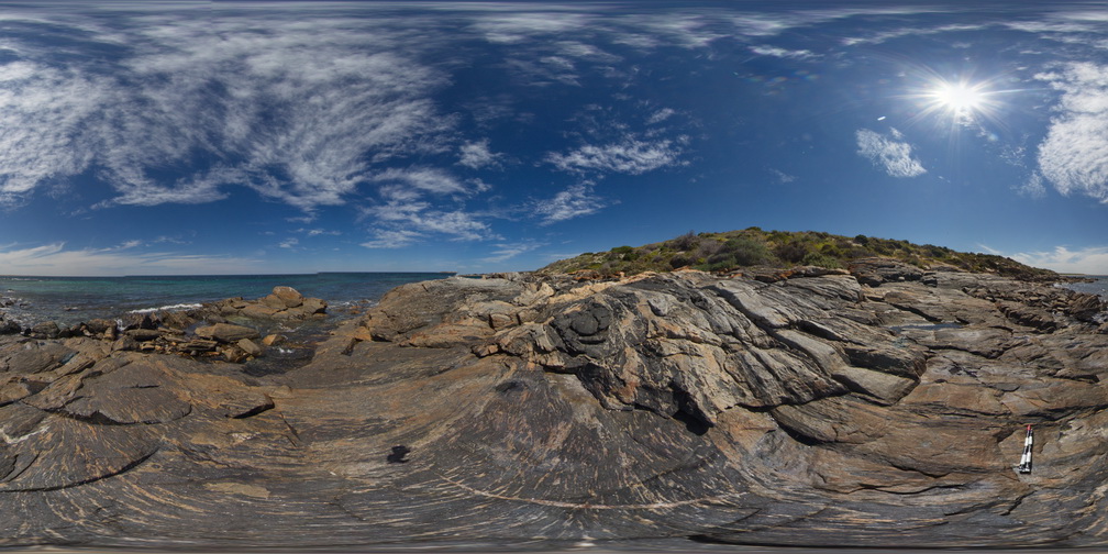
view of mylonite shore platform, showing granitic and mafic bands, Point Neill. |
100.00 |
-34.10548000000 |
136.35069000000 |
-9999.000 |
mylonite |
mylonite |
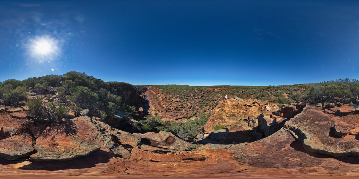
KalbarriFSP4 Map
 |
0 |
05/20/2016 noon |
FSP |
view of Murchison River gorge from near lookout at the 'Z bend', Kalbarri National Park. W.A. |
1000.00 |
-27.65339000000 |
114.45678000000 |
-9999.000 |
sandstone, river gorge |
sandstone |


