BoatHarbour1 Map
 |
20 |
01/01/9999 midnight |
3D |
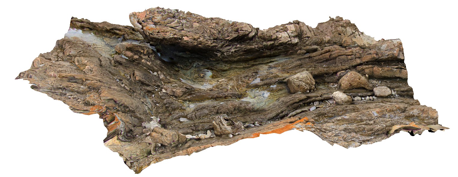
Fold hinge within Rocky Cape Group Orthoquartzite. Boat Harbour, Tas. |
5.00 |
-40.92564000000 |
145.61450400000 |
6.000 |
quartzite, bedding, fold hinge, structure |
quartzite |
LakeRowallan Map
 |
20 |
01/01/9999 midnight |
3D |
aerial view of lake Rowallan during low water level. Tasmania. |
0.00 |
-41.73505940000 |
146.21744630000 |
-9999.000 |
|
|
BoatHarbour2 Map
 |
20 |
01/01/9999 midnight |
3D |
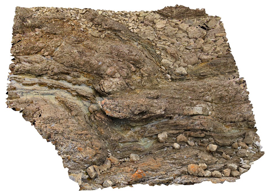
Fold hinge within Rocky Cape Group Orthoquartzite. Boat Harbour, Tas. |
6.00 |
-40.92568400000 |
145.61462700000 |
5.000 |
quartzite, fold hinge, bedding, structure |
quartzite |
BoatHarbour3 Map
 |
20 |
01/01/9999 midnight |
3D |
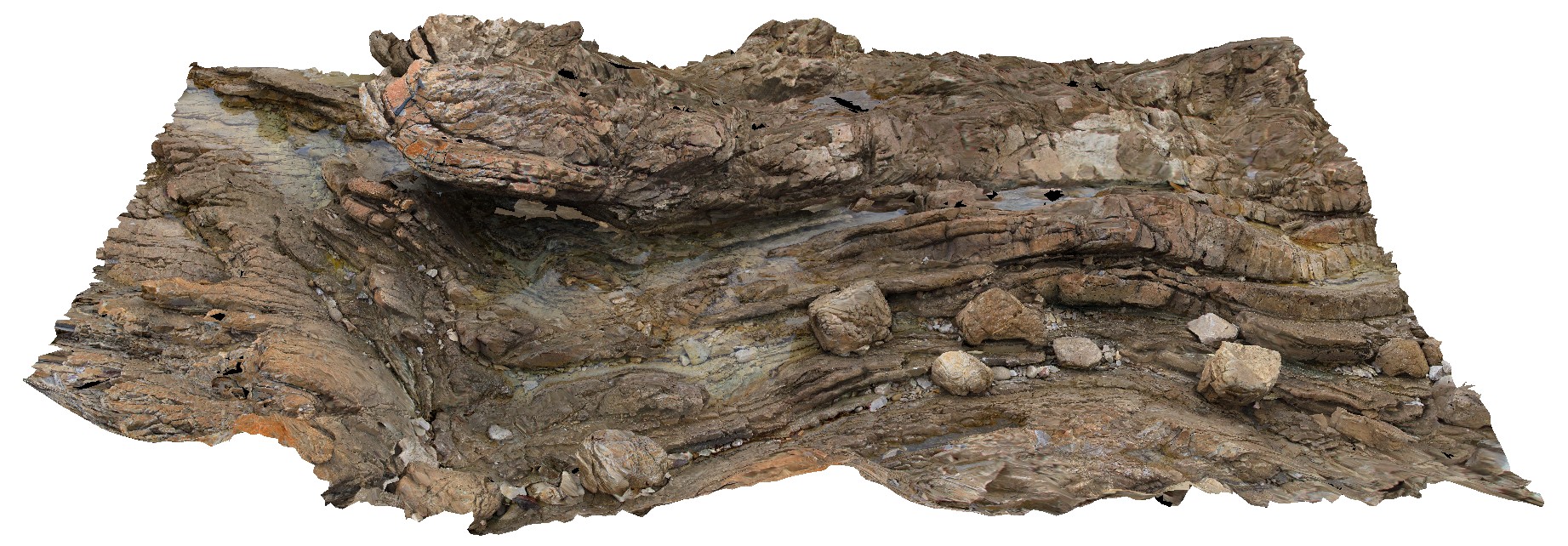
Fold hinge within Rocky Cape Group Orthoquartzite. Boat Harbour, Tas. |
8.00 |
-40.92556700000 |
145.61453900000 |
5.000 |
quartzite, bedding, fold hinge, structure |
quartzite |
BoatHarbour4 Map
 |
20 |
01/01/9999 midnight |
3D |
Low angle cross bedding in Rocky Cape Group Orthoquartzite. Boat Harbour, Tas. |
9.00 |
-40.92526000000 |
145.61367700000 |
5.000 |
quartzite, bedding, cross bedding, sedimentology |
quartzite |
BoatHarbour5 Map
 |
20 |
01/01/9999 midnight |
3D |
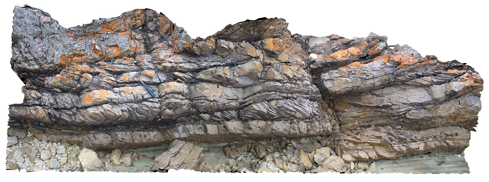
Cross bedded Rocky Cape Group Orthoquartzite. Boat Harbour, Tas. |
5.00 |
-40.92525300000 |
145.61377100000 |
5.000 |
quartzite, cross bedding, sedimentology |
quartzite |
BoatHarbour6 Map
 |
20 |
01/01/9999 midnight |
3D |
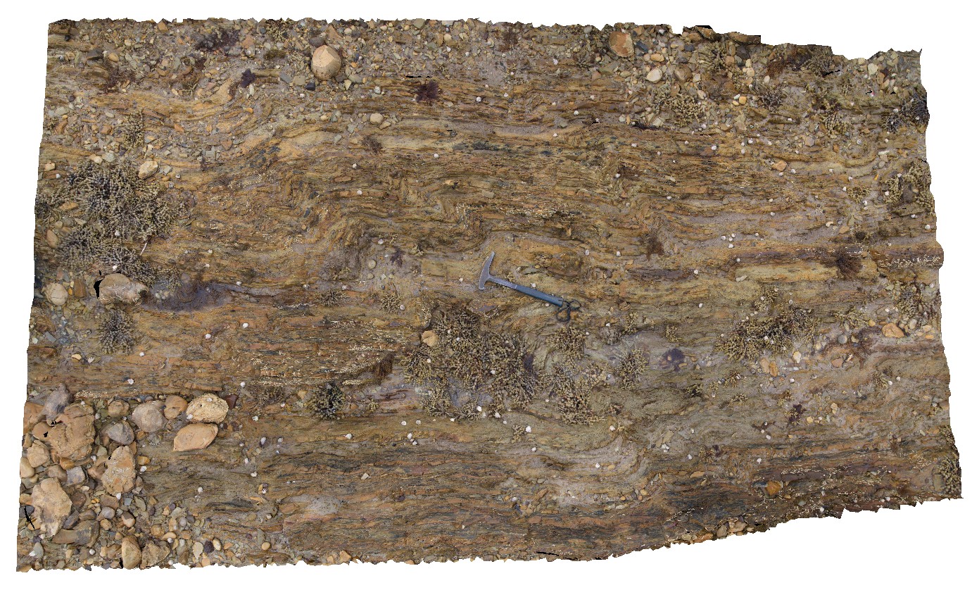
Folded Rocky Cape Group siltstones and orthoquartzite. Boat Harbour, Tas. |
4.00 |
-40.92629500000 |
145.60992700000 |
1.000 |
quartzite, bedding, folded, structure |
quartzite |
BoatHarbour7 Map
 |
20 |
01/01/9999 midnight |
3D |
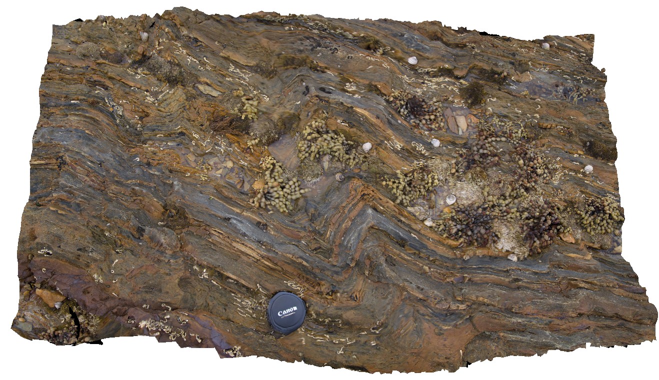
Folded Rocky Cape Group quartzite and siltstone. Boat Harbour, Tas. |
1.00 |
-40.92636100000 |
145.61004200000 |
1.000 |
quartzite, bedding, folded, structure |
quartzite, siltstone |
BoatHarbour8 Map
 |
20 |
01/01/9999 midnight |
3D |
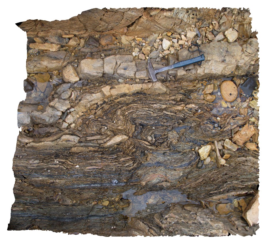
Folded Rocky Cape Group Orthoquartzite. Boat Harbour, Tas. |
1.00 |
-40.92640900000 |
145.60991100000 |
1.000 |
quartzite, bedding, folded, structure |
quartzite, siltstone |
BoatHarbour9 Map
 |
20 |
01/01/9999 midnight |
3D |
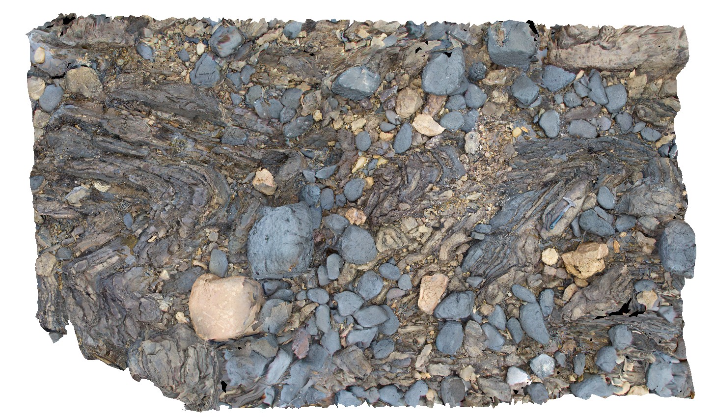
Fold hinge within Rocky Cape Group Orthoquartzite. Boat Harbour, Tas. |
3.00 |
-40.92637600000 |
145.60981500000 |
1.000 |
quartzite, fold hinge |
quartzite |
BoatHarbour10 Map
 |
20 |
01/01/9999 midnight |
3D |
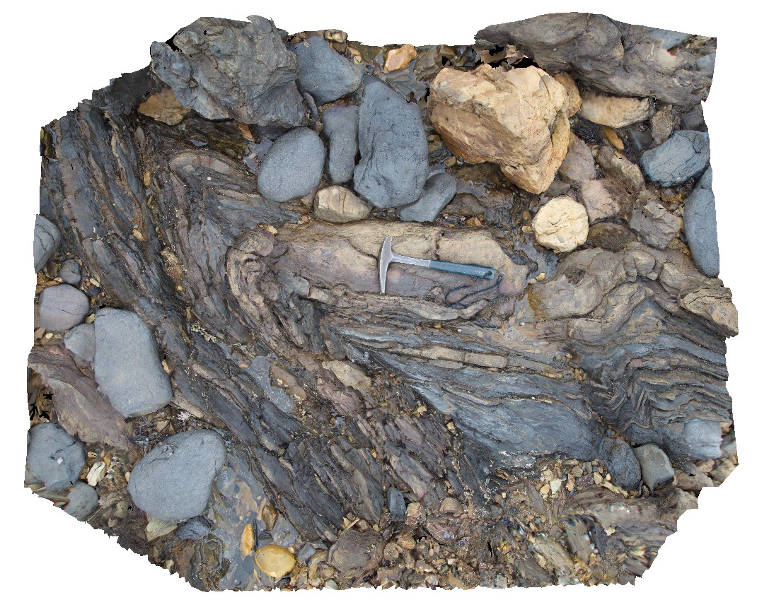
Fold hinge within Rocky Cape Group Orthoquartzite. Boat Harbour, Tas. |
2.00 |
-40.92640600000 |
145.60971200000 |
1.000 |
quartzite, fold hinge |
quartzite |
Murchison1 Map
 |
0 |
01/01/9999 midnight |
3D |
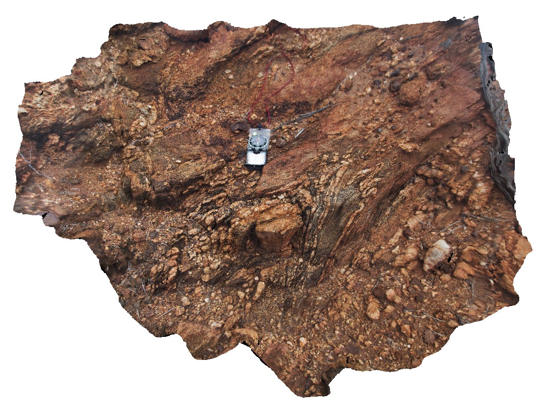
Tightly folded quartz veins in mafic gneiss of the Yilgarn Craton. Carnarvon-Mullewa Road, Murchison WA. |
6.00 |
-26.83411000000 |
115.94106000000 |
-9999.000 |
fold, gneiss |
gneiss |
Murchison2 Map
 |
0 |
01/01/9999 midnight |
3D |
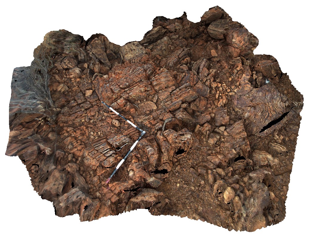
tightly folded and finely layered, banded iron formation. Carnarvon-Mullewa Road, Murchison WA. |
3.00 |
-26.83409000000 |
115.94122000000 |
-9999.000 |
banded iron formation, fold, structure |
BIF |
ORMG5 Map
 |
5 |
01/01/9999 midnight |
3D |
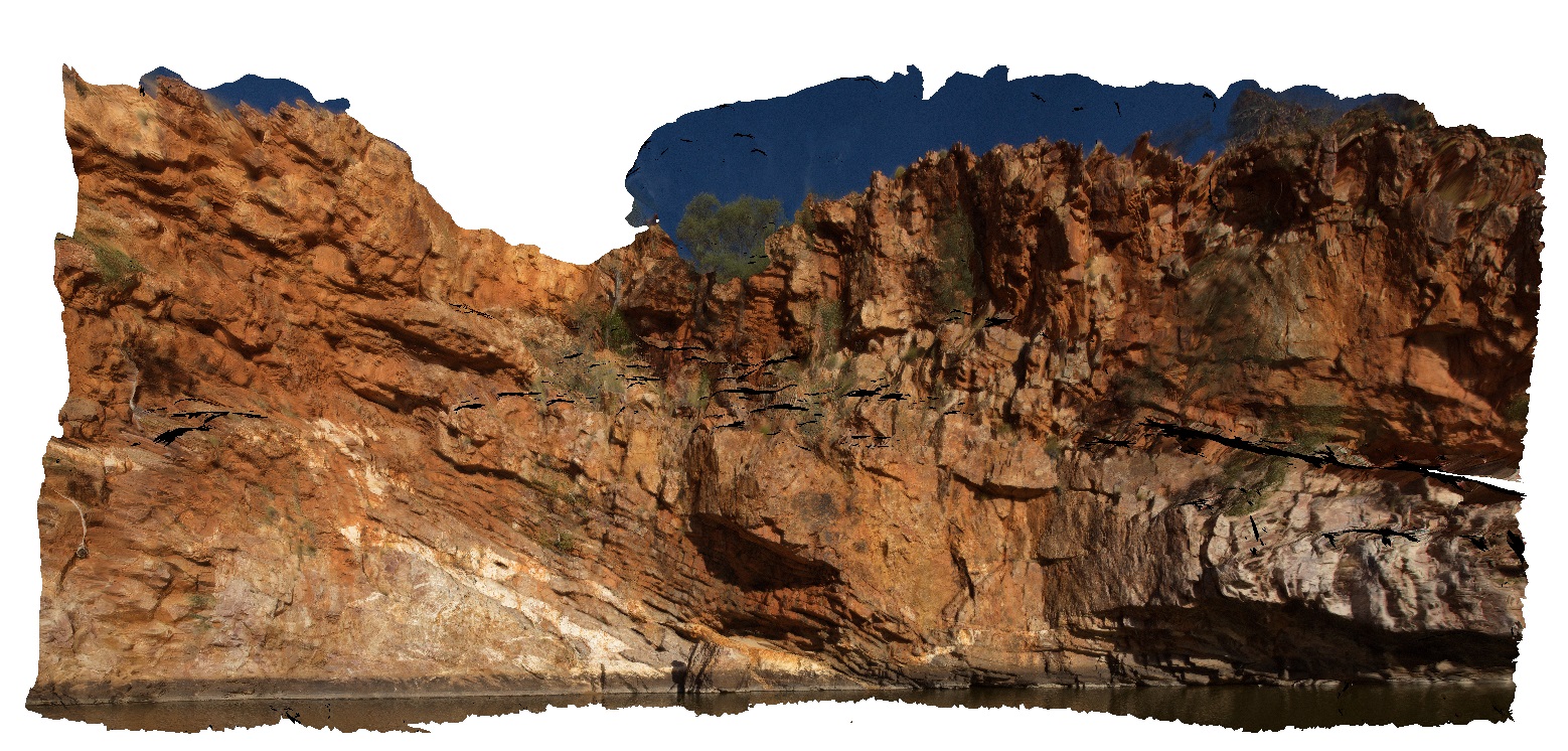
quartz veins and stacked thrusts in quartzite layers at Ormiston Gorge water hole. Ormiston Gorge, N.T. |
50.00 |
-23.62811000000 |
132.72731000000 |
651.970 |
thrust stack, fault, vein, quartz vein, quartzite, structure |
quartzite |
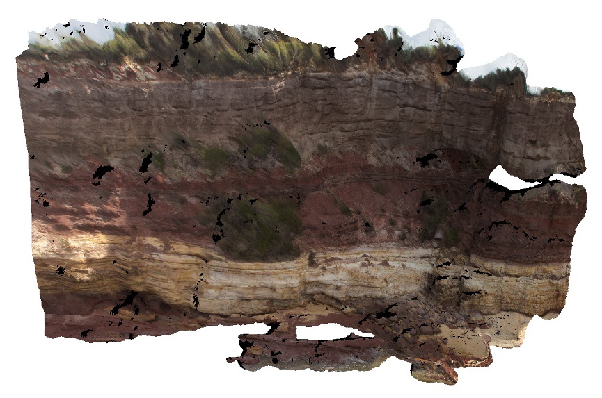
Merimbula11 Map
 |
20 |
01/01/9999 midnight |
3D |
overview of large cliff face, showing layered sandstone beds. Merimbula, N.S.W. |
10.00 |
-36.89641000000 |
149.93002000000 |
2.000 |
sandstone, sedimentology, bedding |
sandstone |
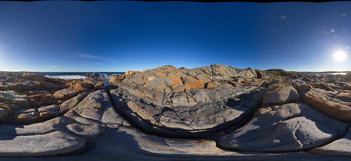
BingiFSP1 Map
 |
5 |
01/01/9999 midnight |
FSP |
View of granodiorite with cross-cutting 'dolerite' dyke. Bingi, N.S.W. |
50.00 |
-36.01247000000 |
150.16364000000 |
2.000 |
dyke, igneous, structure |
granodiorite, dolerite |
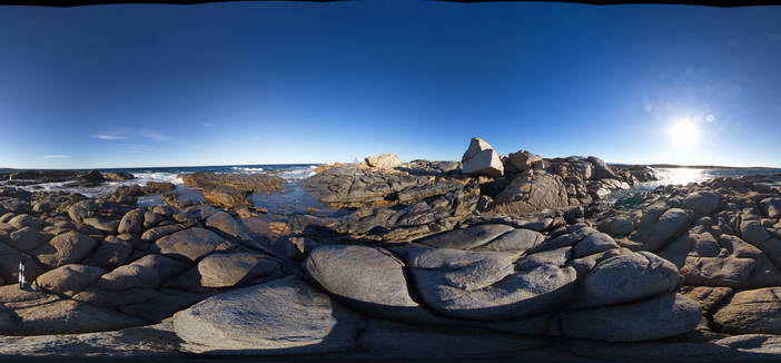
BingiFSP2 Map
 |
5 |
01/01/9999 midnight |
FSP |
View of granodiorite cut by an aplite dyke that is cut by a xenolith crowded 'dolerite' dyke. Bingi, N.S.W. |
50.00 |
-36.01248000000 |
150.16402000000 |
1.000 |
dykes, igneous, structure |
granodiorite, aplite, dolerite |
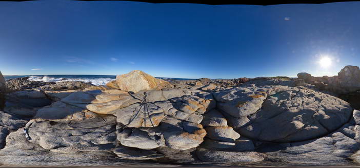
BingiFSP3 Map
 |
5 |
01/01/9999 midnight |
FSP |
View of granodiorite with multiple Xenoliths and the cross-cutting aplite dyke. Bingi, N.S.W. |
50.00 |
-36.01263000000 |
150.16399000000 |
3.000 |
dyke, igneous, xenolith |
granodiorite, aplite |
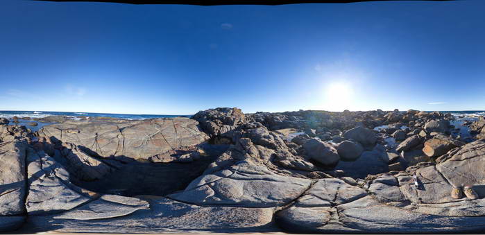
BingiFSP4 Map
 |
5 |
01/01/9999 midnight |
FSP |
View of jointed granodiorite cut by a dolerite dyke. Bingi, N.S.W. |
50.00 |
-36.01300000000 |
150.16405000000 |
2.000 |
joints, dyke, structure, igneous |
granodiorite, dolerite |
FingalTas6 Map
 |
0 |
01/01/9999 midnight |
3D |
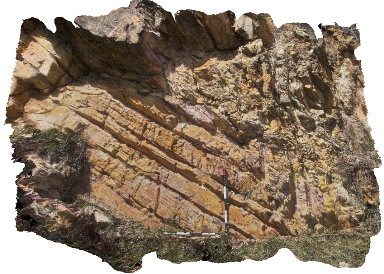
detail of synform fold, with inclined axial plane, in road cutting. Esk Highway, Tasmania. From image Fingal4. |
6.50 |
-41.65800000000 |
147.91608000000 |
-9999.000 |
inclined fold, axial plane |
sandstone |
FingalTas5 Map
 |
0 |
01/01/9999 midnight |
3D |
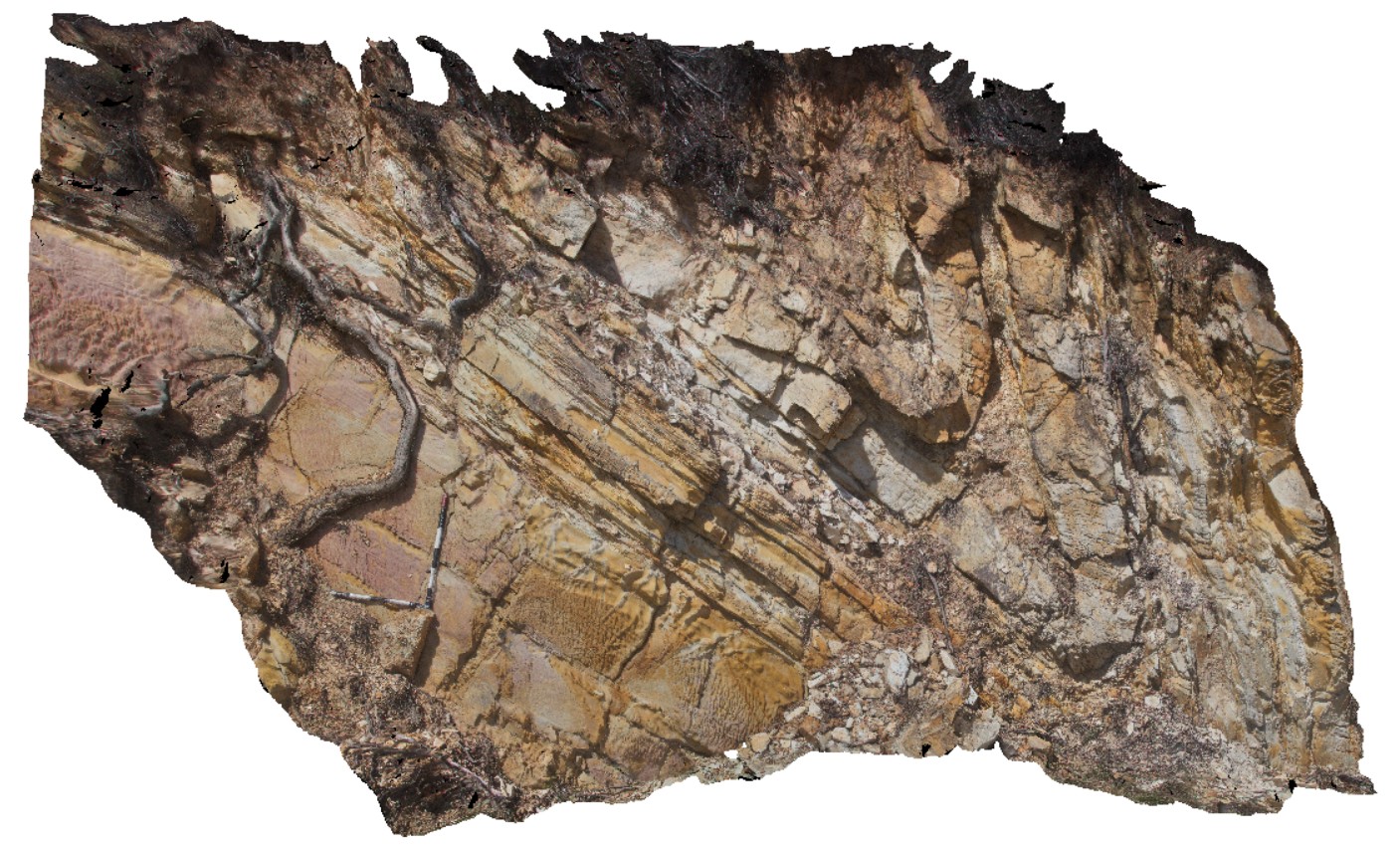
detail of antiform fold, with inclined axial plane, in road cutting. Esk Highway, Tasmania. From image Fingal4. |
6.00 |
-41.65804000000 |
147.91606000000 |
-9999.000 |
axial plane, fold, structure |
sandstone |
FingalTas4 Map
 |
0 |
01/01/9999 midnight |
3D |
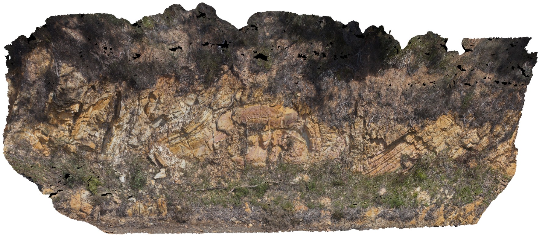
view of Chris Powell's folds at Tallochgoren. Esk Highway, Tasmania. |
15.00 |
-41.65804000000 |
147.91606000000 |
-9999.000 |
fold, synform, antiform |
sandstone |
FingalTas3 Map
 |
0 |
01/01/9999 midnight |
3D |
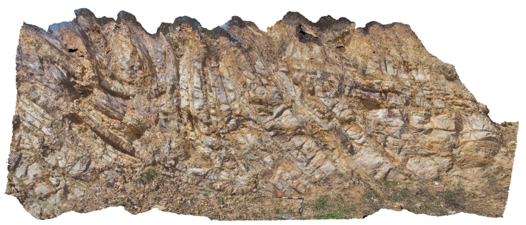
folds with inclined axial surfaces in Mathinna Group sediments. Esk Highway, Tasmanian. |
8.00 |
-41.65028000000 |
147.93211000000 |
-9999.000 |
inclined fold, axial surface |
sandstone |
FingalTas2 Map
 |
0 |
01/01/9999 midnight |
3D |
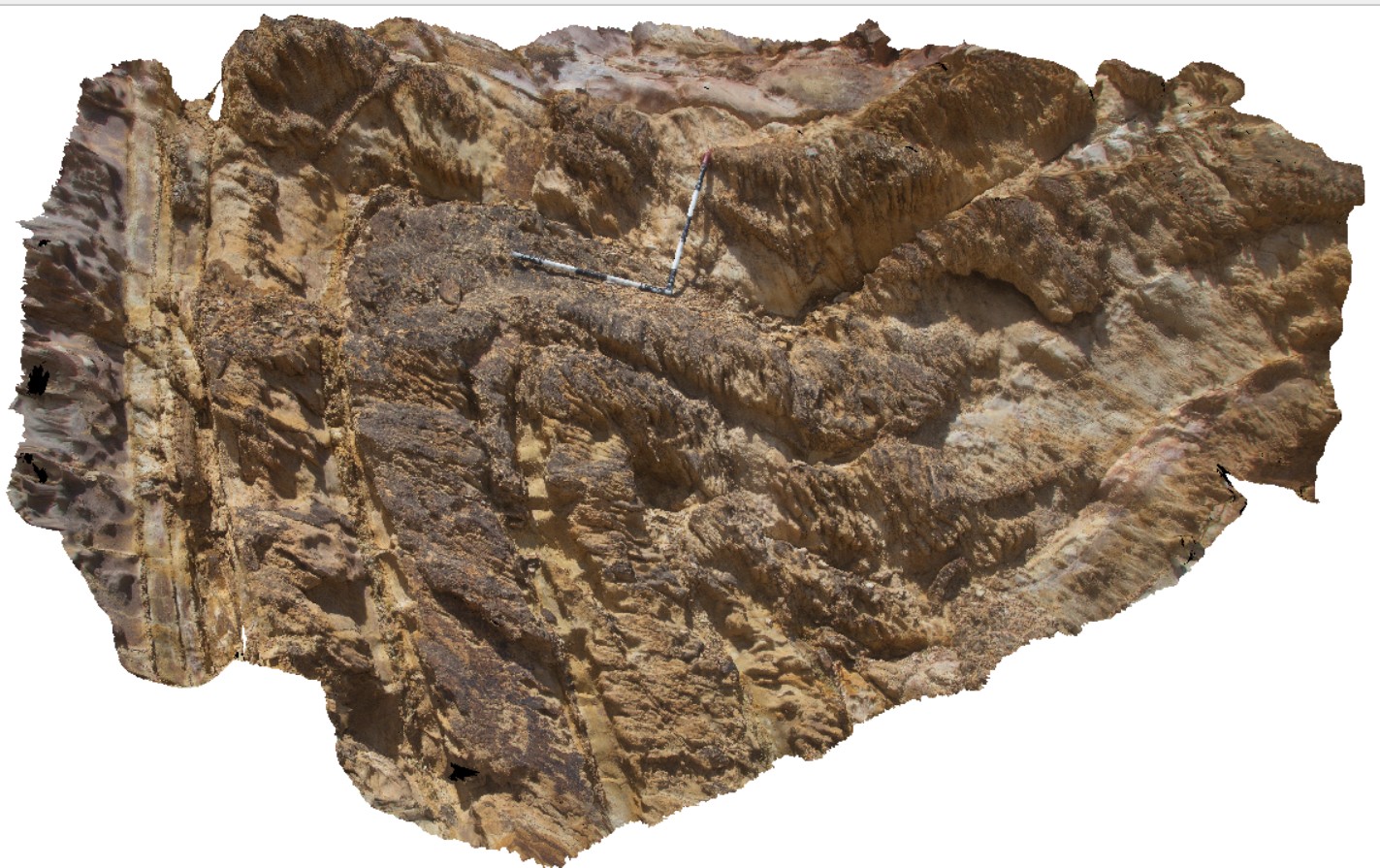
detail of inclined antiform in sandstone layers. Mathinna Group sediments. Fingal, Tas. |
4.00 |
-41.65031000000 |
147.93181000000 |
-9999.000 |
anticline, inclined fold |
sandstone |
FingalTas1 Map
 |
0 |
01/01/9999 midnight |
3D |
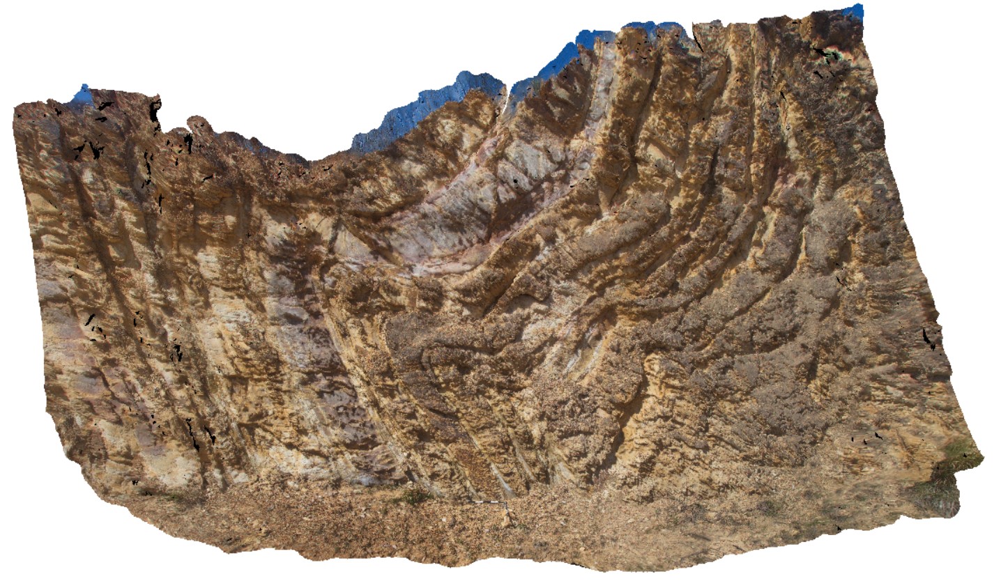
folds with well defined cleavage in Mathinna Group sediments, Esk Highway. Fingal, Tas. |
8.00 |
-41.65031000000 |
147.93181000000 |
-9999.000 |
fold, cleavage |
sandstone |


