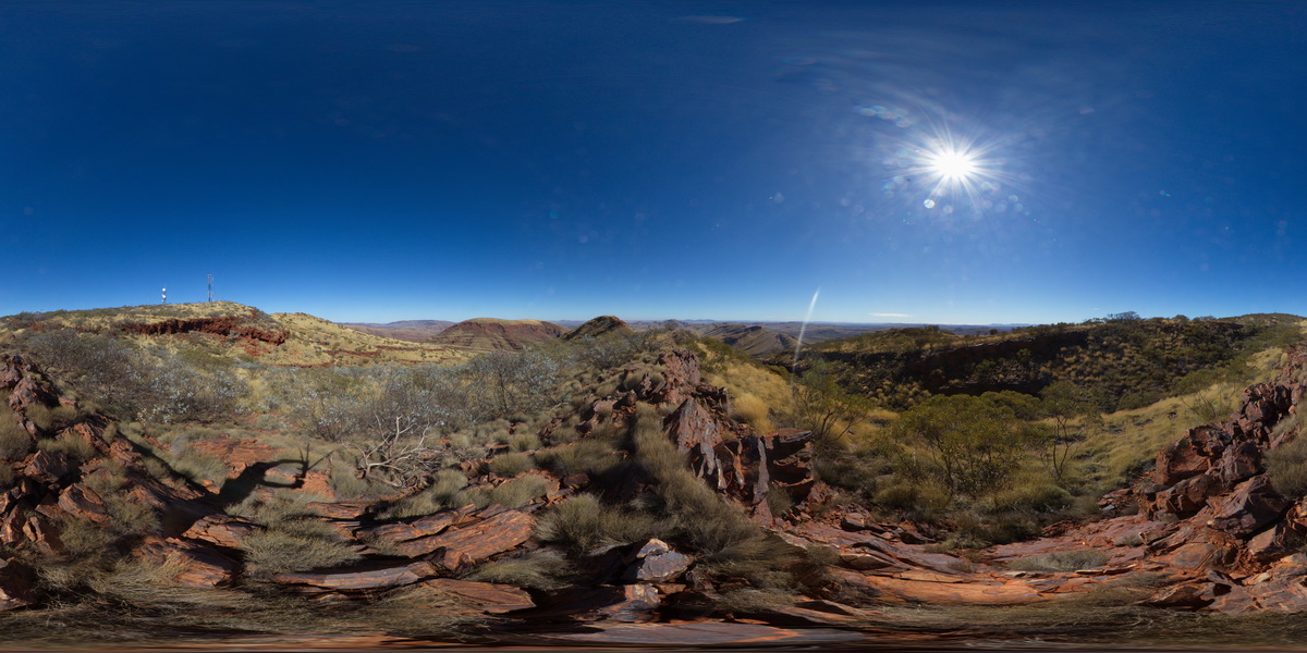
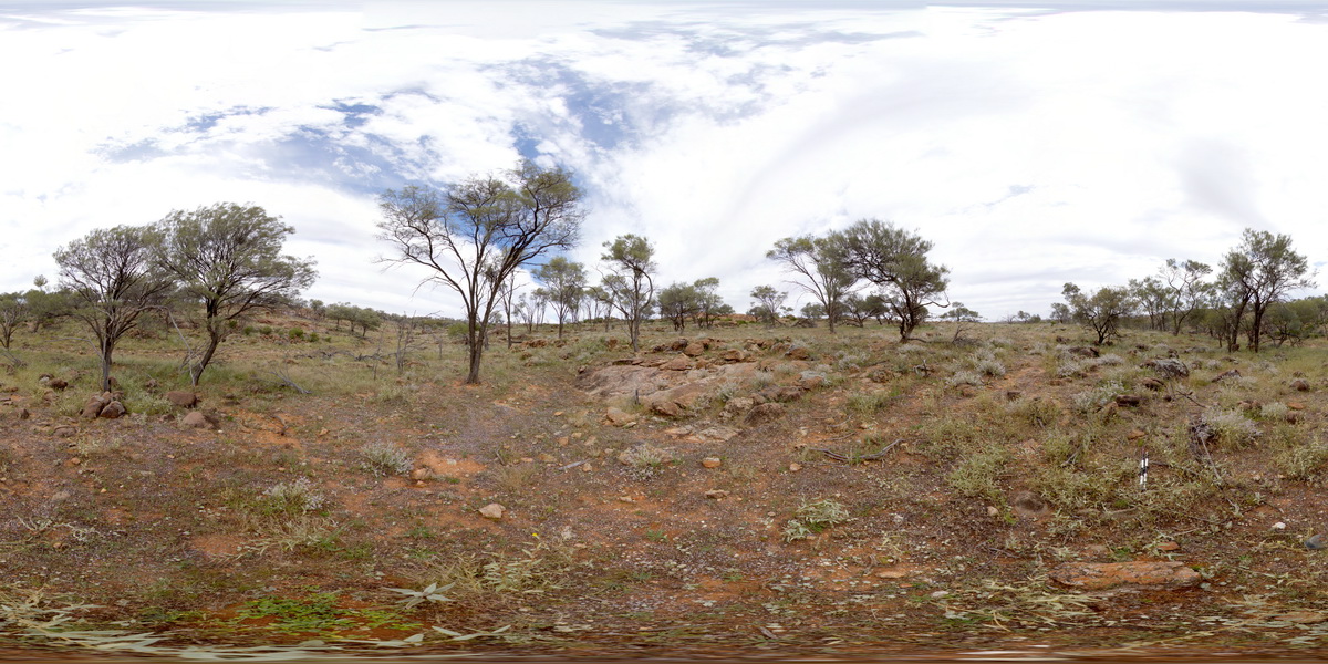
MunjinaGiga1 Map
 |
0 |
05/31/2016 noon |
GIGA |
— |
0.00 |
-22.41183000000 |
118.68569000000 |
-9999.000 |
|
|
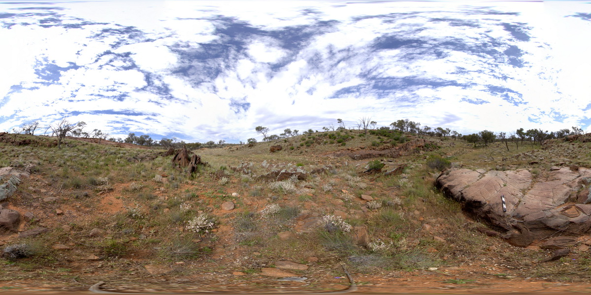
GibbRiverGIG1 Map
 |
0 |
06/06/2016 noon |
GIGA |
— |
0.00 |
-15.91240000000 |
128.17818000000 |
-9999.000 |
|
|
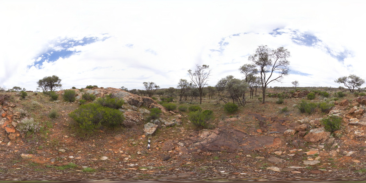
TowerHillGIGA1 Map
 |
10 |
01/01/9999 midnight |
GIGA |
— |
0.00 |
-38.32723000000 |
142.36790000000 |
-9999.000 |
|
tuff |
CanberraGiga2 Map
 |
0 |
06/17/2015 10:29 a.m. |
GIGA |
— |
0.00 |
-35.30408000000 |
149.12651000000 |
-9999.000 |
|
|
CanberraGiga3 Map
 |
1 |
06/17/2015 10:30 a.m. |
GIGA |
— |
0.00 |
-35.30408000000 |
149.12651000000 |
-9999.000 |
|
|
CanberraGiga1 Map
 |
1 |
06/17/2015 10:27 a.m. |
GIGA |
— |
0.00 |
-35.30408000000 |
149.12651000000 |
-9999.000 |
|
|
MunjinaGiga2 Map
 |
0 |
05/31/2016 noon |
GIGA |
— |
0.00 |
-22.41183000000 |
118.68569000000 |
-9999.000 |
|
|
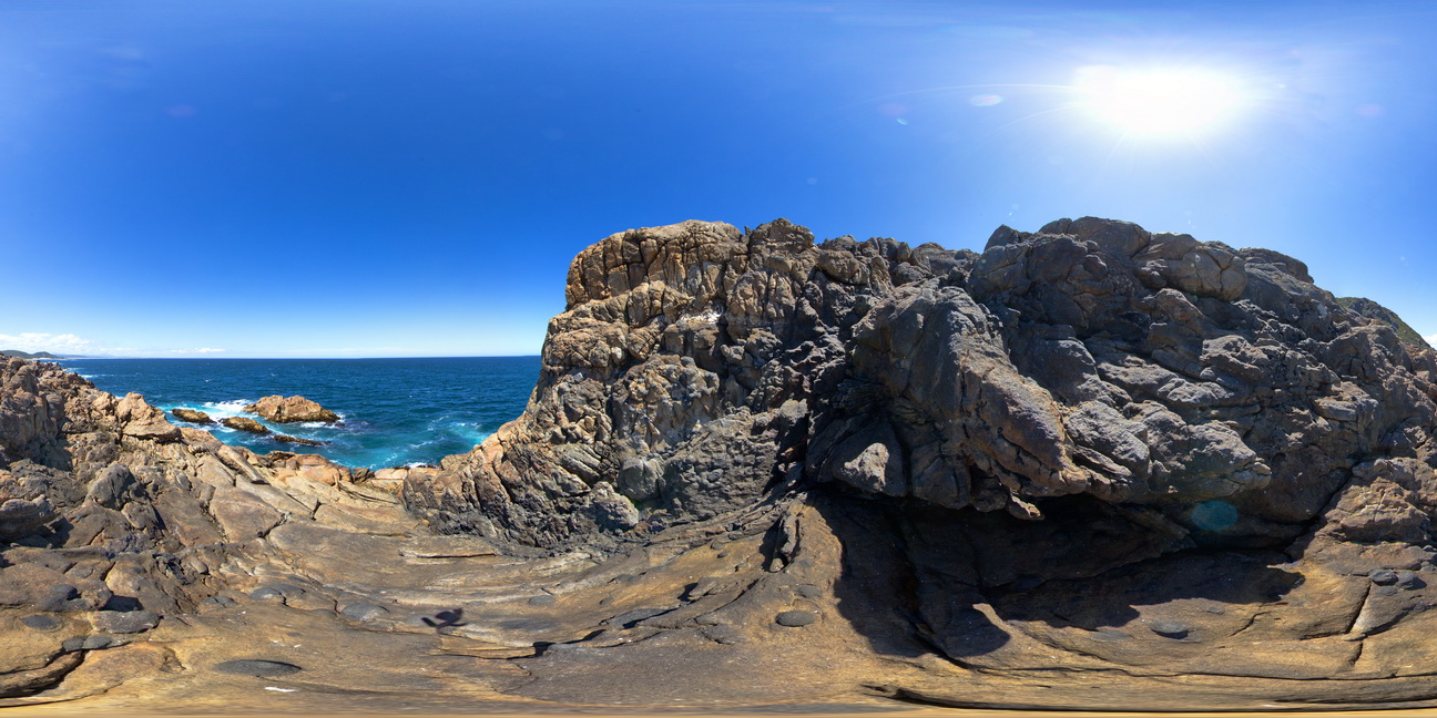
Eaglehawk7 Map
 |
5 |
01/01/9999 midnight |
3D |
1m long concretion in Permian sediment layers. Eaglehawk Neck, Tasmania. |
6.00 |
-43.03387000000 |
147.94931000000 |
-9999.000 |
concretion, sedimentology |
siltstone |
KakaduUAV1 Map
 |
20 |
01/01/9999 midnight |
UAV |
270 degree view of tall (~30m) sandstone tower with shallowly dipping cross beds and planar beds. Bardedjilidji Walk. Kakadu National Park. N.T. |
40.00 |
-12.43749000000 |
132.96887000000 |
-9999.000 |
tower, sandstone, cross bedding, weathering feature |
sandstone |
DixonRange7 Map
 |
0 |
06/14/2016 noon |
3D |
2 generations of folding in finely layered marble and calc-silicate. Hill above road to Dixon Range. North W.A. |
1.00 |
-17.22697000000 |
128.25227000000 |
-9999.000 |
marble, calc-silicate, fold, isoclinal fold, structure |
marble |
Bellingham11 Map
 |
5 |
01/01/9999 midnight |
3D |
2 generations of quartz veins and cleavage in Mathinna Supergroup turbidites. Second set of quartz veins, offsets first vein. Bellingham, NE Tasmania. |
1.00 |
-41.00832000000 |
147.16577000000 |
-9999.000 |
turbidite, cleavage, folding, structure, quartz vein |
turbidite |
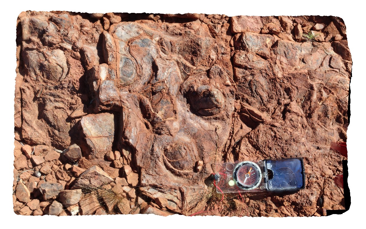
NorthPole3 Map
 |
10000 |
08/02/2016 noon |
3D |
3.49Ga conical stromatolites in the Dresser Formation. Marble Bar Rd, near Coppin Gap, W.A. |
0.80 |
-20.72168000000 |
119.35366400000 |
-9999.000 |
stromatolite, chert, palaeontology, fossil |
limestone |
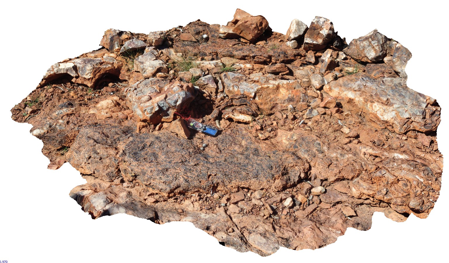
NorthPole2 Map
 |
10000 |
08/02/2016 noon |
3D |
3.49Ga stromatolite beds in the Dresser Formation. Marble Bar Rd, near Coppin Gap, W.A. |
2.50 |
-20.72168000000 |
119.35366400000 |
-9999.000 |
stromatolite, fossil, palaeontology |
limestone |
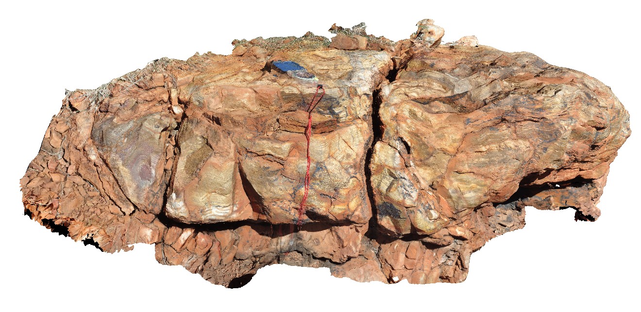
Nullagine1 Map
 |
5 |
08/02/2016 noon |
3D |
3.4Ga stromatolite fossils in Strelley Pool Formation, Nullagine, as described in 'Discovery Trails to an Early Earth' . Marble Bar Rd, W.A. |
1.70 |
-21.47009500000 |
120.07242300000 |
-9999.000 |
stromatolite, fossil, palaeontology |
sediments |
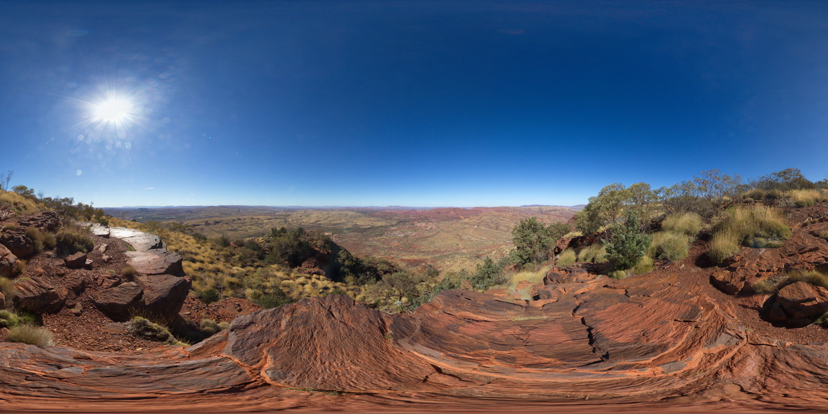
TomPriceFSP1 Map
 |
0 |
05/29/2016 noon |
FSP |
360 degree view from near the summat of Mount Nameless, showing Mount Tom Price mine operations and surrounding country. Tom Price, W.A. |
5000.00 |
-22.71881000000 |
117.76555000000 |
-9999.000 |
Brockman Iron Formation, Tom Price |
BIF |
TomPriceGIGa1 Map
 |
0 |
05/29/2016 noon |
GIGA |
360 degree view from near the summit of Mount Nameless, showing Mount Tom Price mine operations and surrounding country. Tom Price, W.A. |
5000.00 |
-22.71881000000 |
117.76555000000 |
-9999.000 |
banded iron formation, chert |
BIF |
TomPriceFSP2 Map
 |
0 |
05/29/2016 noon |
FSP |
360 degree view from near the summit of Mount Nameless, showing surrounding ridge dominated landscape of sedimentary geology. Tom Price, W.A. |
5000.00 |
-22.71666000000 |
117.76108000000 |
-9999.000 |
Brockman Iron Formation, Pilbara, Hamersley Basin |
BIF |
MtGippsFSP32 Map
 |
5 |
01/01/9999 midnight |
FSP |
360 degree view of Allendale Metasediments. Mount Gipps, N.S.W. |
250.00 |
-31.61504000000 |
141.50109400000 |
-9999.000 |
metasediments |
metasediments |
MtGippsFSP33 Map
 |
5 |
01/01/9999 midnight |
FSP |
360 degree view of Allendale Metasediments. Mount Gipps, N.S.W. |
250.00 |
-31.61520200000 |
141.50126400000 |
-9999.000 |
metasediments |
metasediments |
MtGippsFSP31 Map
 |
5 |
01/01/9999 midnight |
FSP |
360 degree view of Allendale Metasediments. Mount Gipps, N.S.W. |
250.00 |
-31.61483300000 |
141.50099800000 |
-9999.000 |
metasediment |
metasediment |
MtGippsFSP29 Map
 |
5 |
01/01/9999 midnight |
FSP |
360 degree view of Allendale Metasediments. Mount Gipps, N.S.W. |
150.00 |
-31.61425200000 |
141.50170200000 |
-9999.000 |
metasediments |
metasediments |
MtGippsFSP15 Map
 |
5 |
01/01/9999 midnight |
FSP |
360 degree view of Allendale Metasediments. Mount Gipps, N.S.W. |
250.00 |
-31.61468400000 |
141.50219900000 |
-9999.000 |
metamorphic rock |
metamorphic rock |
MtGippsFSP16 Map
 |
5 |
01/01/9999 midnight |
FSP |
360 degree view of Allendale Metasediments. Mount Gipps, N.S.W. |
250.00 |
-31.61492800000 |
141.50191600000 |
-9999.000 |
metamorphic rocks |
metamorphic rocks |
MtGippsFSP30 Map
 |
5 |
01/01/9999 midnight |
FSP |
360 degree view of Allendale Metasediments. Mount Gipps, N.S.W. |
250.00 |
-31.61451600000 |
141.50121800000 |
-9999.000 |
metasediment |
metasediment |
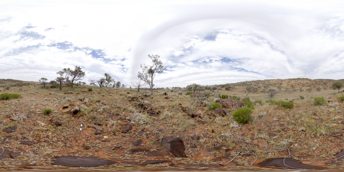
WTasFSP8 Map
 |
5 |
01/01/9999 midnight |
FSP |
360 degree view of coastal exposure, showing the contact between the Heemskirk White Granite with very large tourmaline orbicules and the Heemskirk Red Granite. Trial Harbour, West Tasmania. |
50.00 |
-41.92303000000 |
145.15695000000 |
-9999.000 |
igneous contact, tourmaline orbicule, contact alteration |
granite, granite |