WTasFSP31a Map
 |
5 |
01/01/9999 midnight |
FSP |
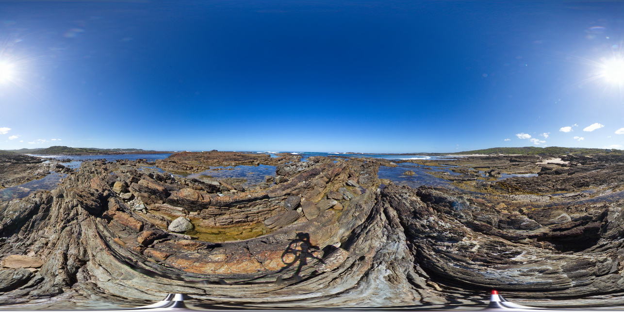
view of shallow basin in shallowly dipping, fine-grained, quartz sandstone and siltstone. Duck Creek, West Tasmania. |
1000.00 |
-41.76810000000 |
145.00371000000 |
-9999.000 |
basin, dip, sedimentology, structure |
sandstone |
TimberCreek1 Map
 |
0 |
06/18/2016 noon |
3D |
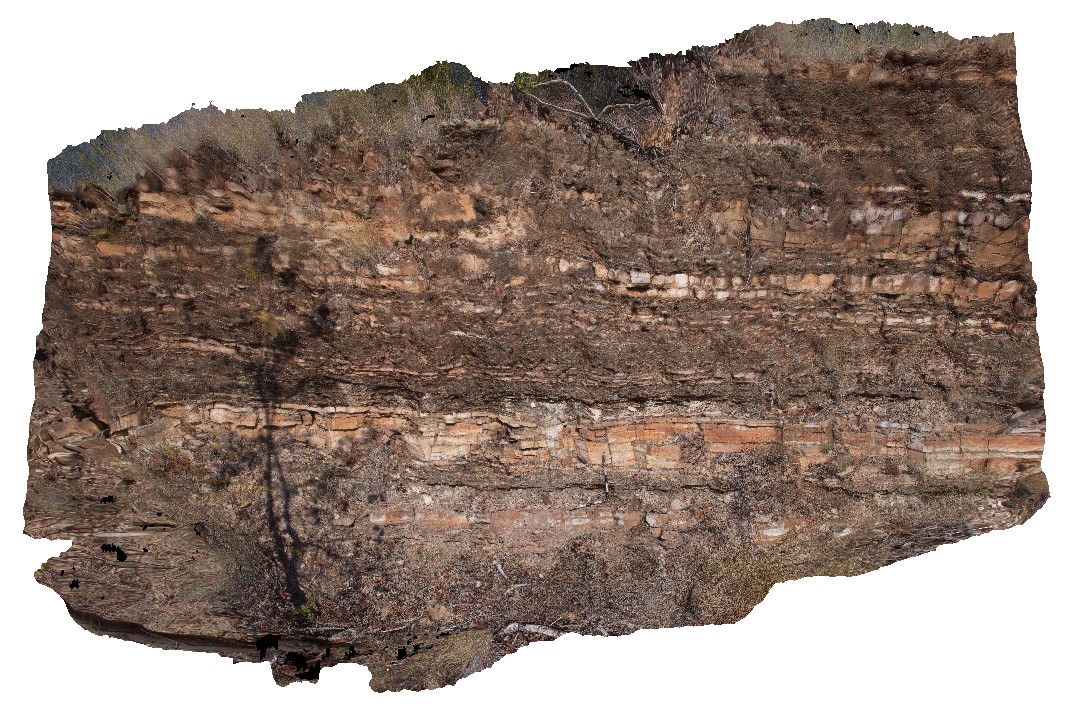
view of shallowly dipping sandstone with thick beds at the bottom and laminated siltstone at the top. Cliff exposure near water tanks, Timber Creek settlement, N.T. |
8.50 |
-15.65278000000 |
130.46318000000 |
-9999.000 |
bedded sandstone, shallow dip, sedimentology, facies grading, graded bedding |
sandstone |
WTasFSP35 Map
 |
5 |
01/01/9999 midnight |
FSP |
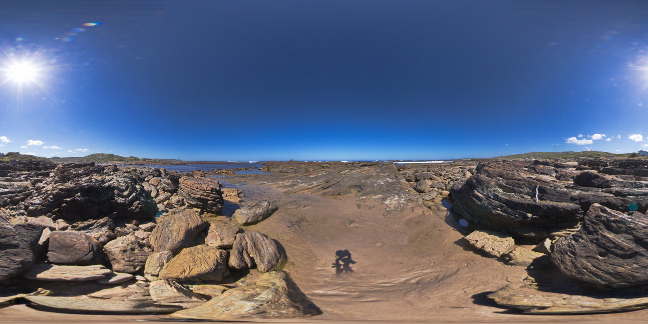
view of shallow to moderately dipping, bedded sandstones and siltstones. Duck Creek, west coast, Tasmania. |
1000.00 |
-41.76805000000 |
145.00401000000 |
-9999.000 |
bedding, dip, sedimentology, structure |
sandstone |
WTasFSP34 Map
 |
5 |
01/01/9999 midnight |
FSP |
view of shallow to moderately dipping, bedded sandstones and siltstones. Duck Creek, west coast, Tasmania. |
1000.00 |
-41.76799000000 |
145.00394000000 |
-9999.000 |
bedding, dip, structure, sedimentology |
sandstone |
WTasFSP33 Map
 |
5 |
01/01/9999 midnight |
FSP |
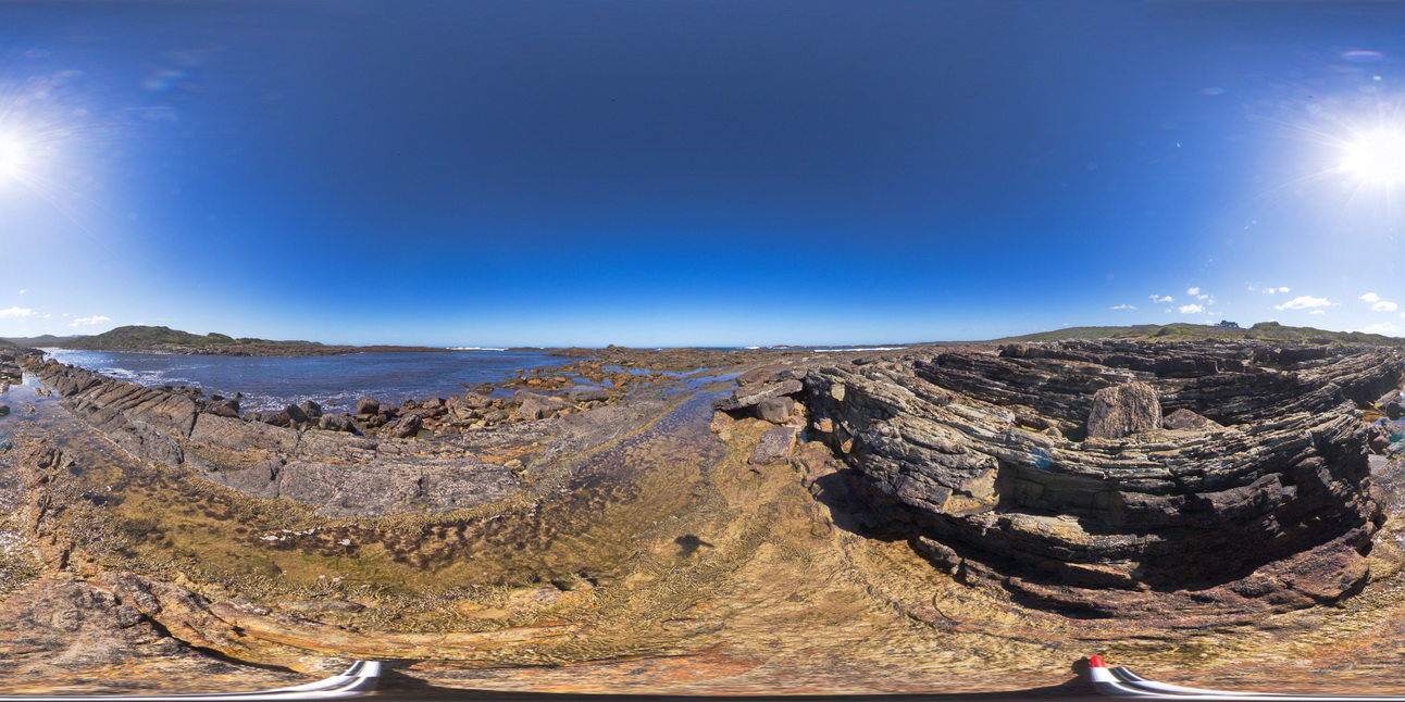
view of shallow to moderately dipping, thinly bedded sandstones and siltstones. Duck Creek, west coast, Tasmania. |
1000.00 |
-41.76815000000 |
145.00415000000 |
-9999.000 |
bedding, dip, structure |
sandstone |
WTasFSP32 Map
 |
5 |
01/01/9999 midnight |
FSP |
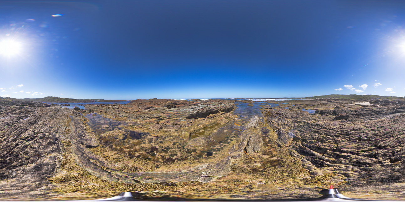
view of shallow to moderately dipping, thinly bedded sandstones and siltstones. Duck Creek, west coast, Tasmania. |
1000.00 |
-41.76805000000 |
145.00377000000 |
-9999.000 |
dip, bedding, structure |
sandstone |
BHill68 Map
 |
5 |
09/16/2015 11:09 a.m. |
3D |
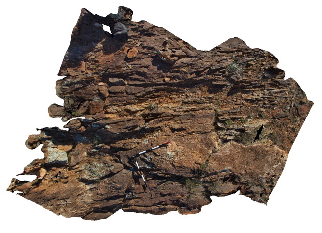
view of sheared margin of a pegmatite body in surrounding banded psammopelitic metasediments. Allens Tank area, Broken Hill. N.S.W. |
3.00 |
-31.61839000000 |
141.48828000000 |
-9999.000 |
shear zone, intrusive contact, metasediments |
psammopelitic, pegmatite |
Carnot6 Map
 |
0 |
10/29/2015 9:43 a.m. |
3D |
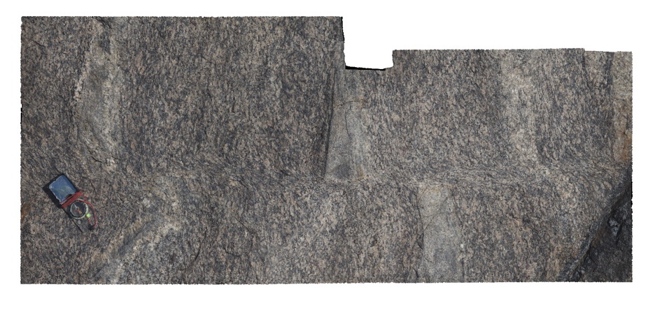
view of shear zone cutting and offsetting foliation in banded gneiss, Cape Carnot. S.A. |
1.20 |
-34.94372000000 |
135.62036000000 |
-9999.000 |
shear zone, gneiss, foliation |
gneiss |
Fishery3 Map
 |
0 |
11/10/2015 9:29 a.m. |
3D |
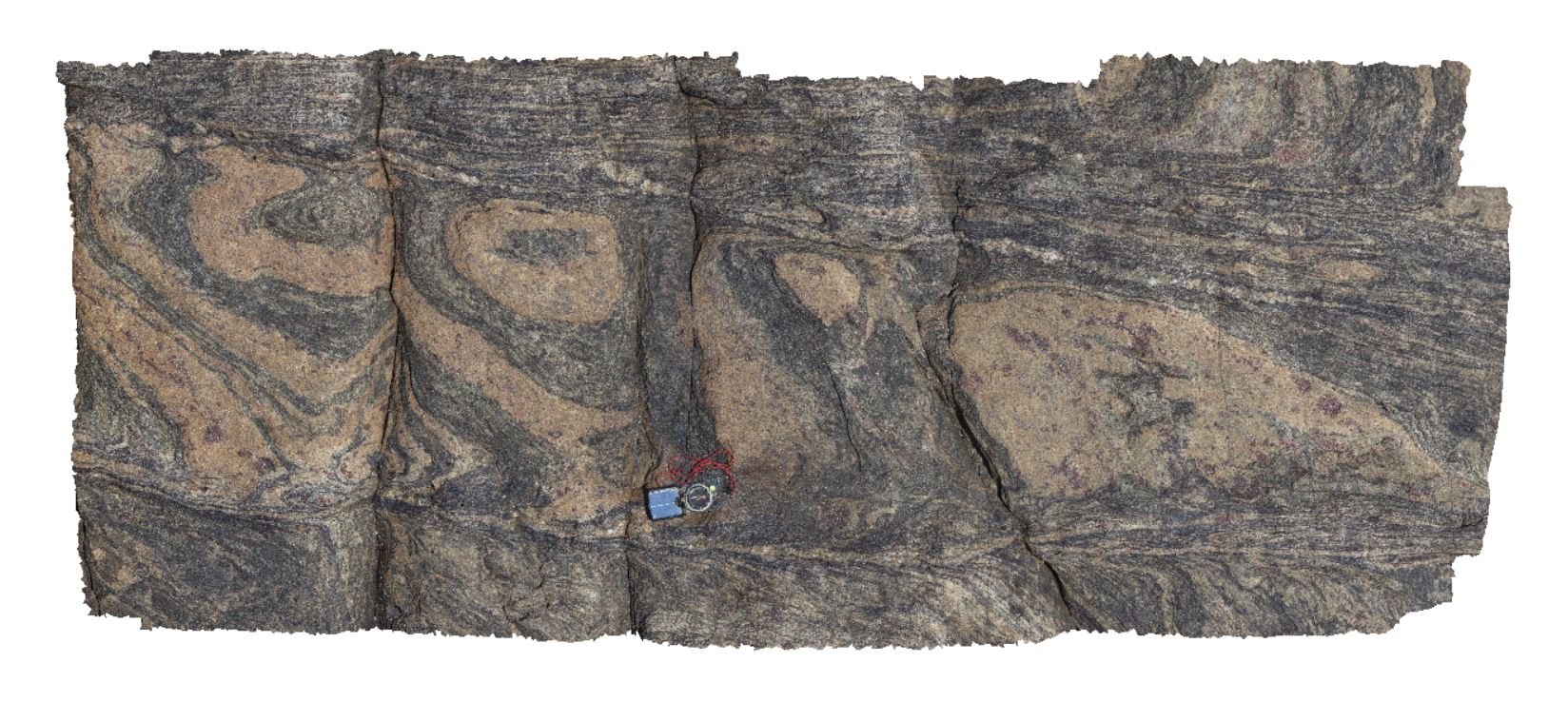
view of shear zone in garner gneiss. Fishery Bay, S.A. |
1.50 |
-34.91367000000 |
135.69208000000 |
-9999.000 |
garnet gneiss, shear zone, structure |
gneiss |
BHill73 Map
 |
5 |
09/16/2015 11:12 a.m. |
3D |
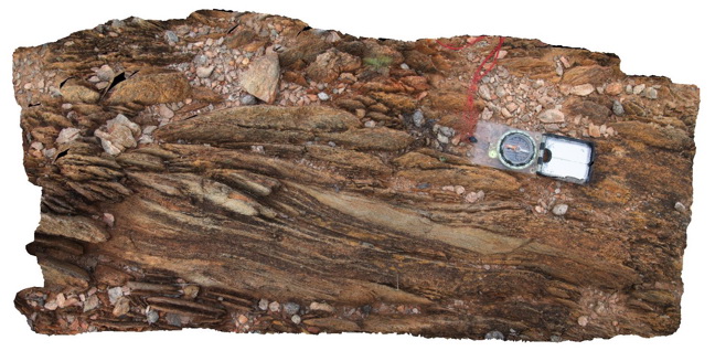
view of shear zone, showing sheared psammitic layers in metasediments. Allans Bore Area, Broken Hill. N.S.W. |
0.90 |
-31.61191000000 |
141.49387000000 |
-9999.000 |
shear zone, psammite |
psammite |
Pedder29 Map
 |
5 |
05/04/2016 10:14 a.m. |
3D |
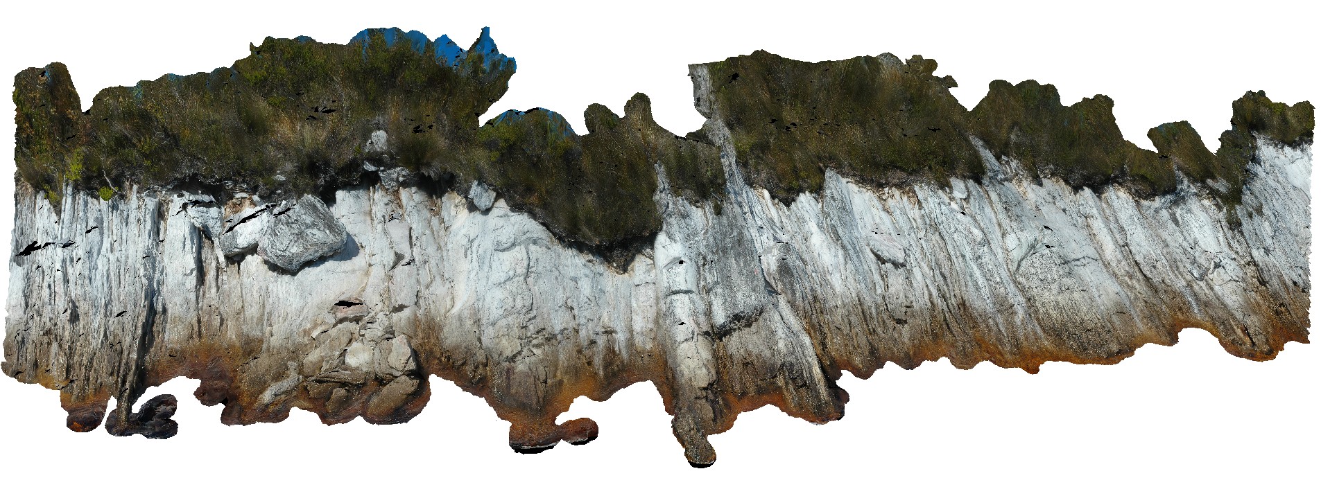
view of shore exposure of quartzite sediments along Lake Pedder, showing plunging, upright folds. Lake Pedder, south west Tasmania. |
22.00 |
-42.84673300000 |
146.09027980000 |
-9999.000 |
folding, upright fold, structure, quartzite |
quartzite |
HarveysFSP3 Map
 |
0 |
10/20/2015 3:23 p.m. |
FSP |
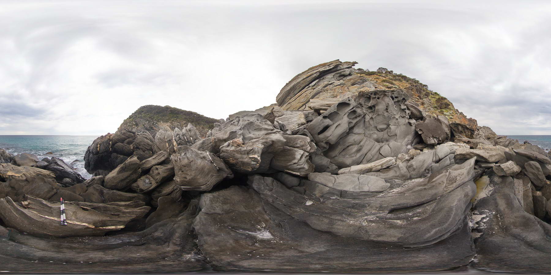
view of shore exposure, showing open folds of finely bedded sandstone / zebra rock, cut by quartz veins. Outcrop shows small fold hinge and parasitic folding. Harvey's Bay, Kangaroo Island. S.A. |
1000.00 |
-35.74806000000 |
136.63852000000 |
-9999.000 |
parasitic folding, structure, folding, zebra rock |
sandstone |
HarveysFSP1 Map
 |
0 |
10/20/2015 3:23 p.m. |
FSP |
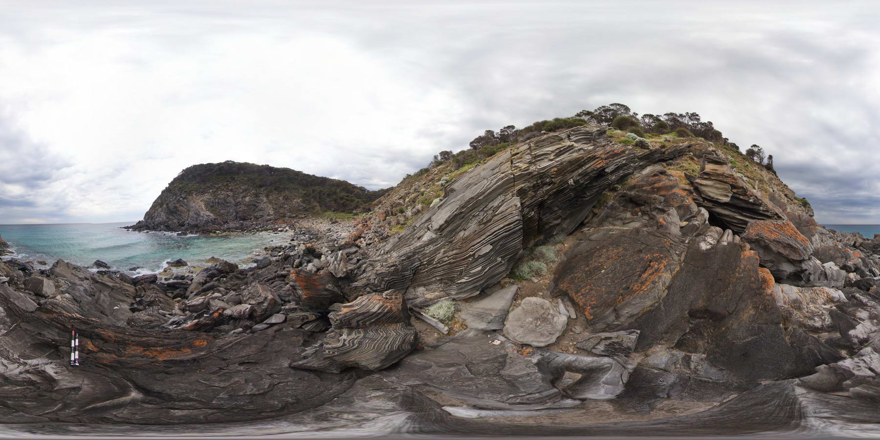
view of shore exposure, showing open folds of finely bedded sandstone / zebra rock. Outcrop shows small fold hinge and 'S' and 'Z' parasitic folding. Harvey's Bay, Kangaroo Island. S.A. |
1000.00 |
-35.74832000000 |
136.63885000000 |
-9999.000 |
fold hinge, S and Z fold vergence, zebra rock, sandstone, structure |
sandstone |
HarveysFSP2 Map
 |
0 |
10/20/2015 3:23 p.m. |
FSP |
view of shore exposure, showing open folds of finely bedded sandstone / zebra rock. Outcrop shows small fold hinge and 'S' and 'Z' parasitic folding. Harvey's Bay, Kangaroo Island. S.A. |
1000.00 |
-35.74822000000 |
136.63869000000 |
-9999.000 |
fold hinge, parasitic fold, zebra rock, structure |
sandstone |
NambuccaUAV1 Map
 |
5 |
04/18/2016 11:50 a.m. |
UAV |
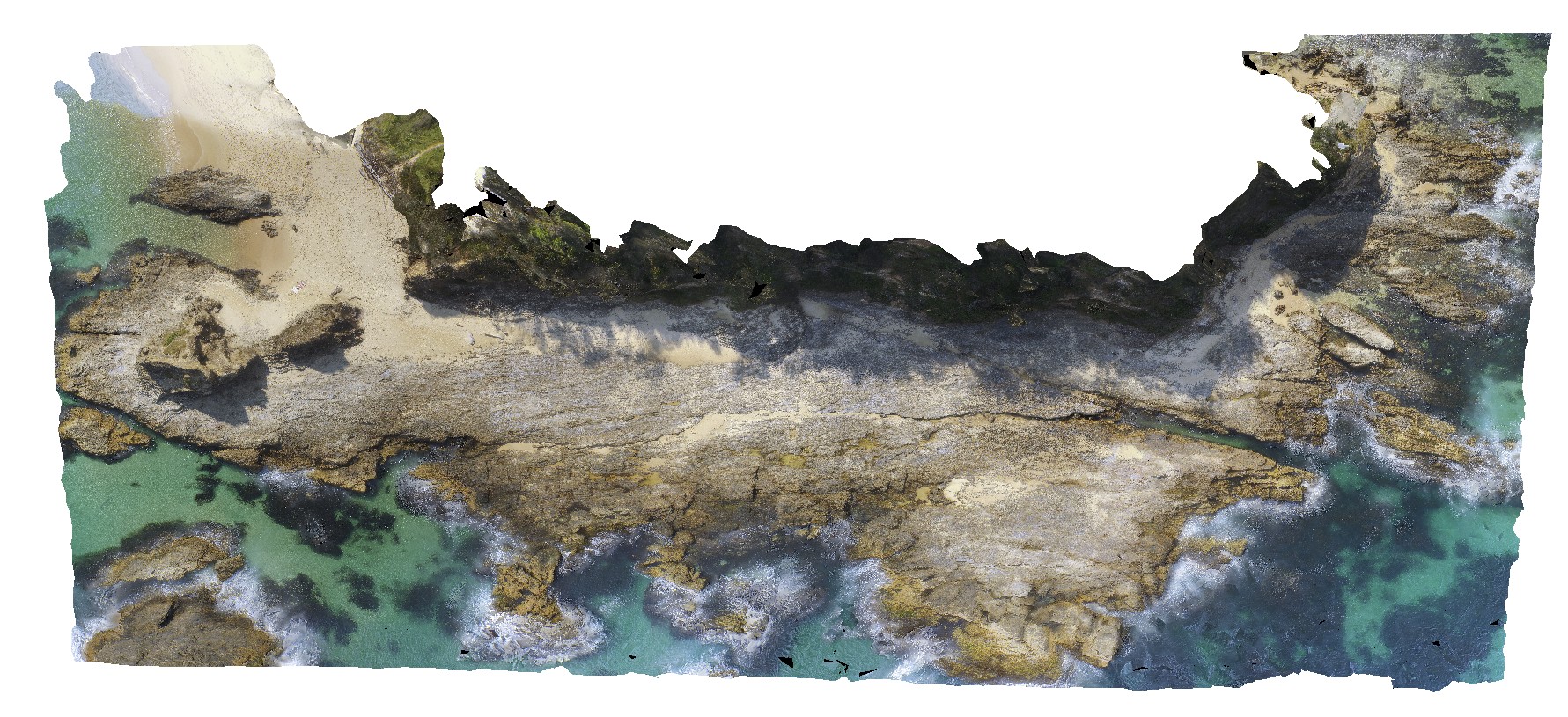
view of shoreline exposure, showing folded 'phyllite' of the Permo-Carboniferous Nambucca Beds. Nambucca, N.S.W. |
0.00 |
-30.64857000000 |
153.01886000000 |
-9999.000 |
phyllite, metamorphic |
phyllite |
BremerFSP3 Map
 |
0 |
06/05/2016 10:43 a.m. |
FSP |
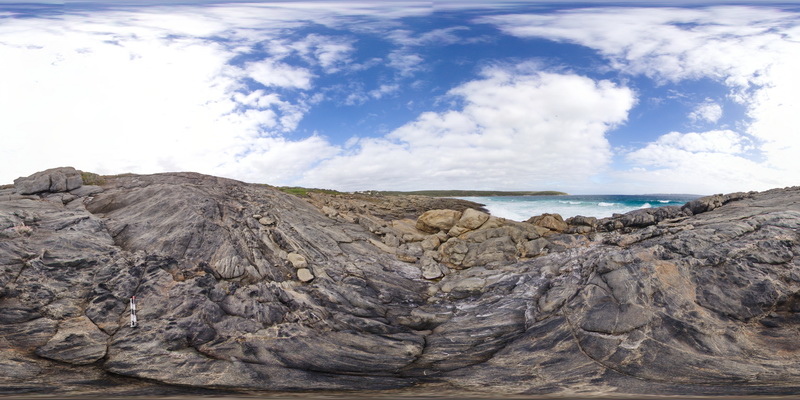
view of shoreline outcrop, showing banded gneiss and porphyry dyke? Bremer Bay. W.A. |
0.00 |
-34.45627000000 |
119.36192000000 |
-9999.000 |
banded gneiss |
gneiss |
BremerFSP4 Map
 |
0 |
06/05/2016 10:43 a.m. |
FSP |
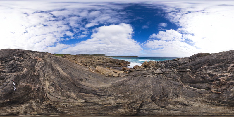
view of shoreline outcrop, showing banded gneiss and porphyry dyke? Bremer Bay. W.A. |
200.00 |
-34.45621000000 |
119.36203000000 |
-9999.000 |
banded gneiss |
gneiss |
BremerFSP1 Map
 |
0 |
06/05/2016 10:43 a.m. |
FSP |
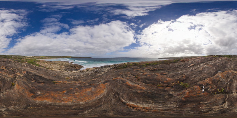
view of shoreline outcrop, showing banded gneiss and surrounding coastline. Bremer Bay. W.A. |
200.00 |
-34.45605000000 |
119.36204000000 |
-9999.000 |
banded gneiss |
gneiss |
BremerFSP2 Map
 |
0 |
06/05/2016 10:43 a.m. |
FSP |
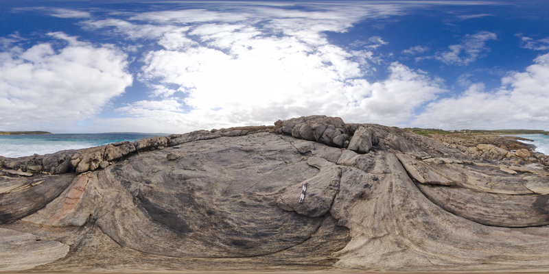
view of shoreline outcrop, showing banded gneiss and surrounding coastline. Bremer Bay. W.A. |
200.00 |
-34.45621000000 |
119.36177000000 |
-9999.000 |
banded gneiss |
gneiss |
WTasFSP1 Map
 |
5 |
01/01/9999 midnight |
FSP |
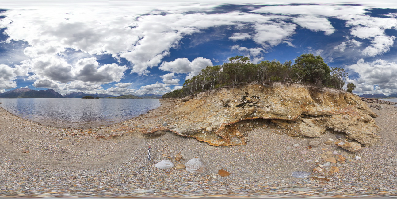
view of shore of Lake Burbury, showing the vista and (Pleistocene) tillite. Lake Burbury, West Tasmania. |
200.00 |
-42.09616000000 |
145.67336000000 |
-9999.000 |
tillite, Pleistocene sediments |
tillite |
PtNeillFSP3 Map
 |
0 |
10/20/2015 3:21 p.m. |
FSP |
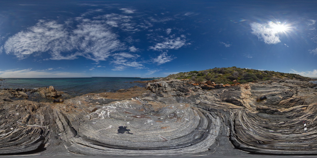
view of shore platform exposure of granitic and mafic banded mylonite, showing intrusive contact with pegmatite, Point Neill. |
100.00 |
-34.10555000000 |
136.35071000000 |
-9999.000 |
mylonite, pegmatite, intrusive contact |
mylonite |
KingstonFSP1 Map
 |
20 |
07/15/2016 noon |
FSP |
view of shore platform exposure, showing pavement and cliffs of Permian sandstone with liesegang banding. Kingston Beach, Tasmania. |
1000.00 |
-42.98515000000 |
147.32671000000 |
-9999.000 |
Permian, sandstone, liesegang bands, sedimentology |
sandstone |
PricesFSP6 Map
 |
20 |
01/01/9999 midnight |
FSP |
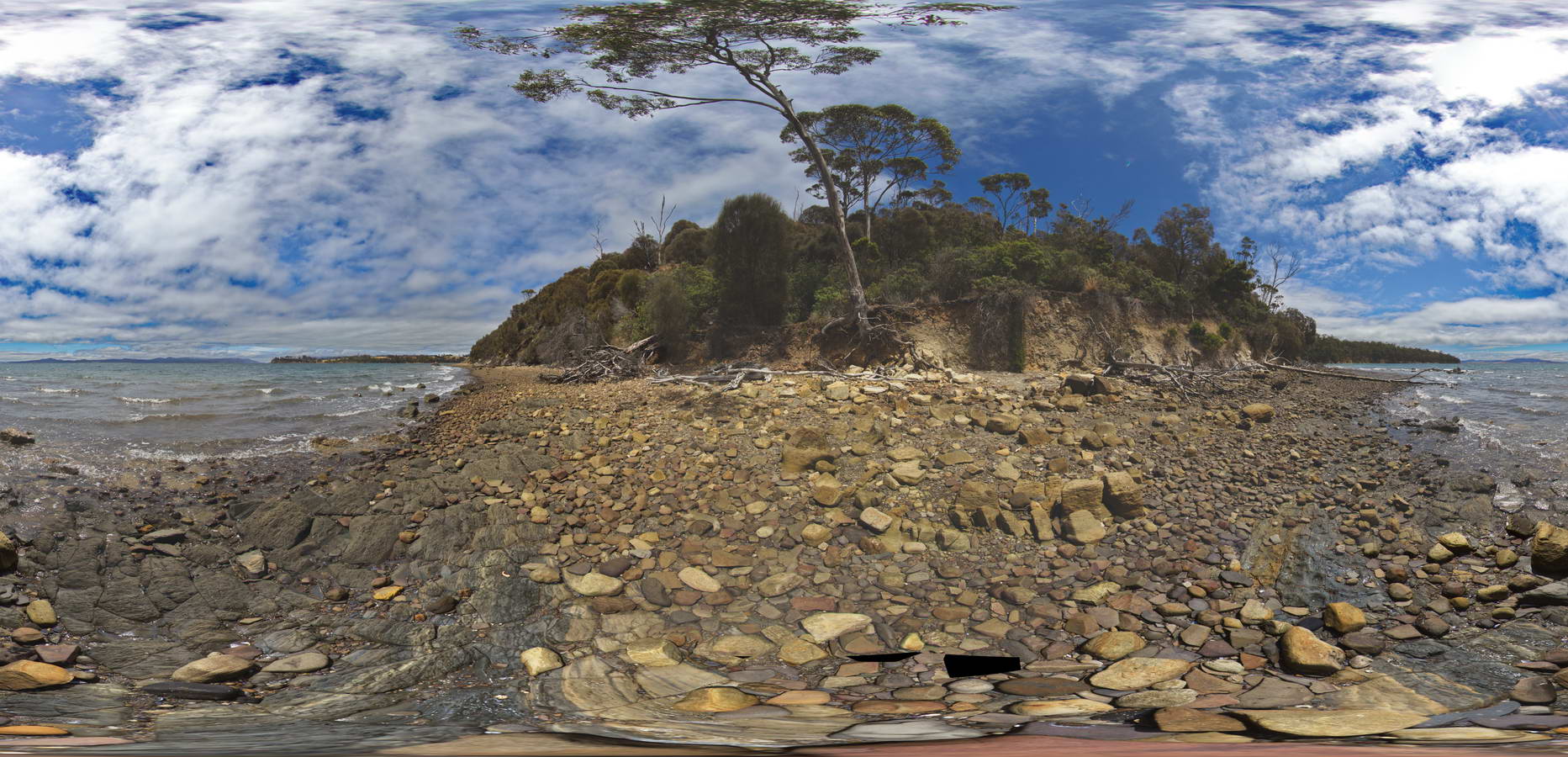
view of shore platform of contact between carbonaceous siltstone and sandstones. Prices Point, Tasman Peninsula, Tasmania. |
250.00 |
-43.03404100000 |
147.74658500000 |
0.500 |
Triassic sedimentary rocks, fluvial facies, sedimentology |
sandstone |
Kalbarri4 Map
 |
0 |
05/20/2016 noon |
3D |
view of small bedded sandstone cliff, showing tidal facies. Hawks Head Lookout, Kalbarri National Park. W.A. |
6.00 |
-27.79003000000 |
114.46959000000 |
-9999.000 |
tidal strata, sandstone, sedimentology |
sandstone |
Kalbarri5 Map
 |
0 |
05/20/2016 noon |
3D |
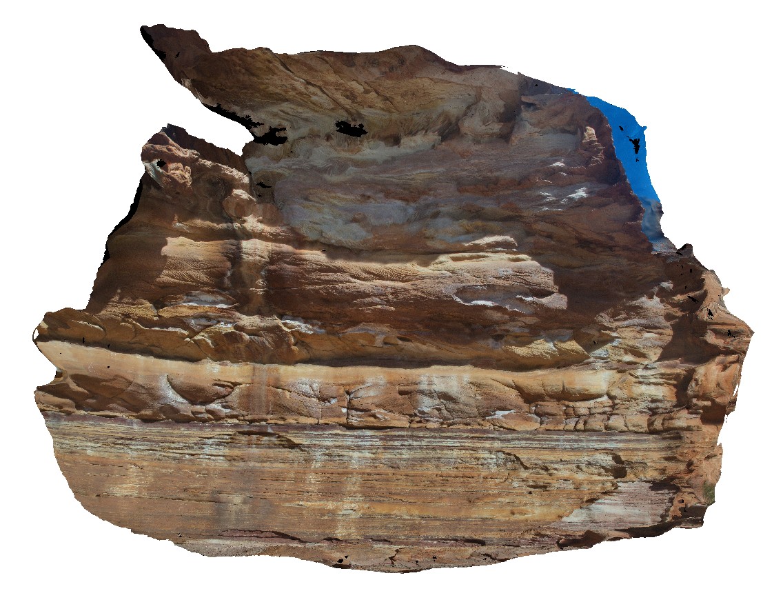
view of small cliff, showing the abrupt transition from tidal facies (finely laminated and have ripple marks and bioturbation) to fluvial facies (quartz rich sandstone with cross bedding). Hawks Head Lookout, Kalbarri National Park. W.A. |
12.00 |
-27.79029000000 |
114.47001000000 |
-9999.000 |
facies change, tidal facies, fluvial facies, ripple marks, cross bedding, sedimentology |
sandstone |


