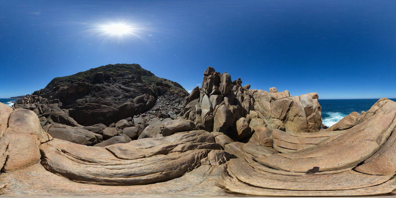
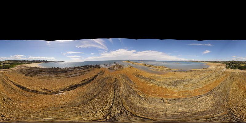
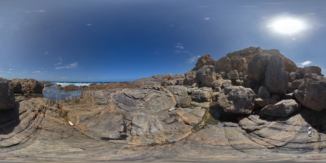
WTasFSP5 Map
 |
5 |
01/01/9999 midnight |
FSP |
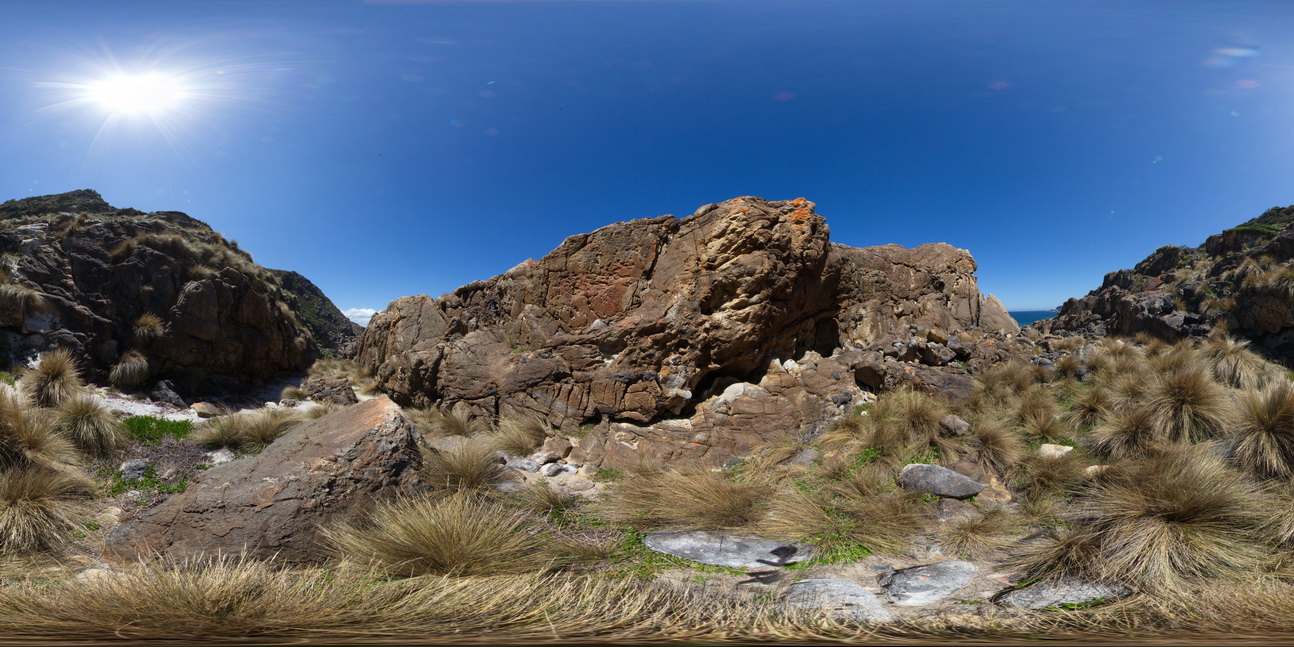
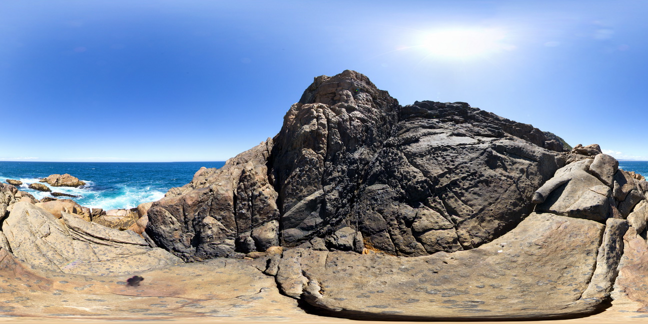
360 degree view of coastal exposure, showing the contact between the White Heemskirk Granite with tourmaline orbicules and the Red Heemskirk Granite. Trial Harbour, West Tasmania. |
100.00 |
-41.92286000000 |
145.15720000000 |
-9999.000 |
igneous contact, tourmaline orbicules |
granite, granite |
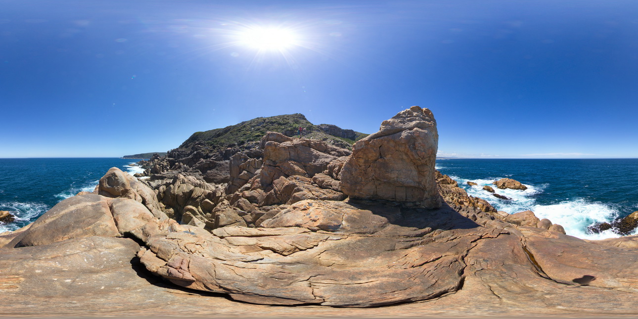
WTasFSP6 Map
 |
5 |
01/01/9999 midnight |
FSP |
360 degree view of coastal exposure, showing the contact between the White Heemskirk Granite with tourmaline orbicules and the Red Heemskirk Granite. Trial Harbour, West Tasmania. |
100.00 |
-41.92289000000 |
145.15701000000 |
-9999.000 |
igneous contact |
granite, granite |
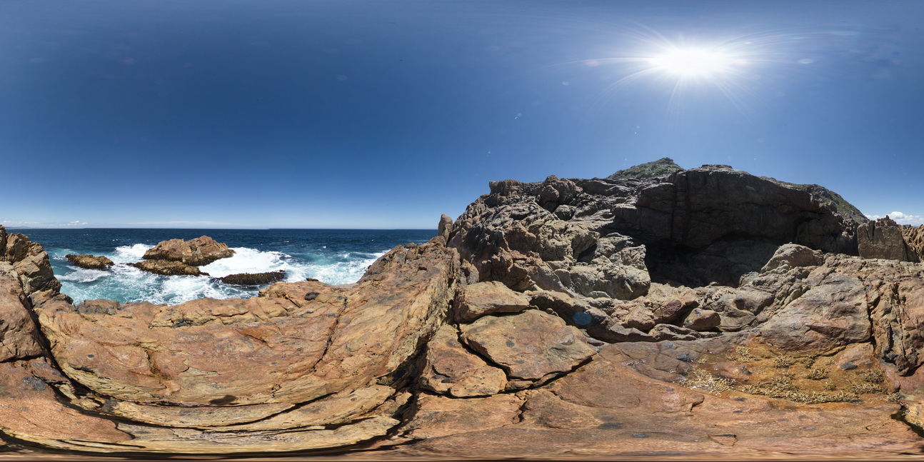
WTasFSP7 Map
 |
5 |
01/01/9999 midnight |
FSP |
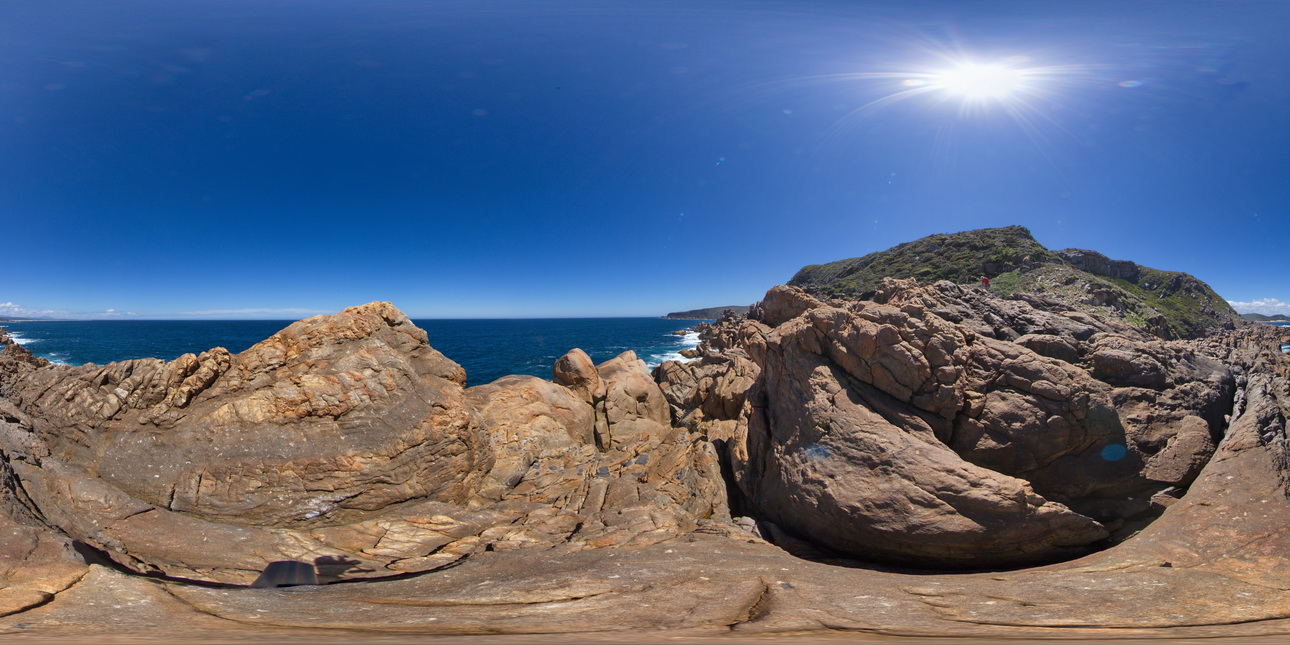
360 degree view of coastal exposure, showing the contact between the White Heemskirk Granite with tourmaline orbicules and the Red Heemskirk Granite with quartz veins. Trial Harbour, West Tasmania. |
100.00 |
-41.92303000000 |
145.15710000000 |
-9999.000 |
igneous contact |
granite, granite |
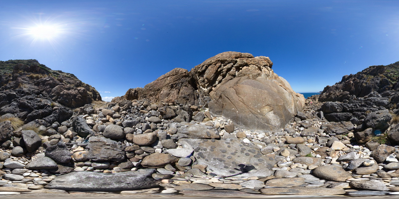
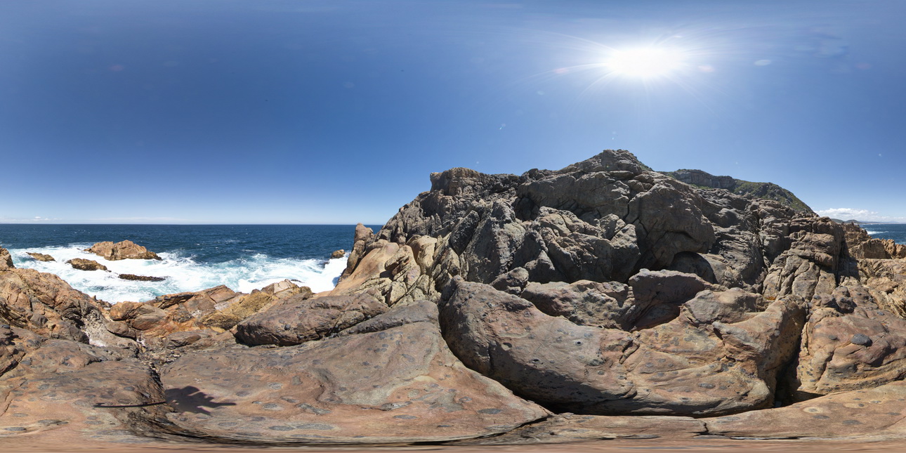
WTasFSP3 Map
 |
5 |
01/01/9999 midnight |
FSP |
360 degree view of coastal exposure, showing White Heemskirk Granite with tourmaline orbicules. Trial Harbour, West Tasmania. |
100.00 |
-41.92277000000 |
145.15710000000 |
-9999.000 |
tourmaline orbicules |
granite |
WTasFSP4 Map
 |
5 |
01/01/9999 midnight |
FSP |
360 degree view of coastal exposure, showing White Heemskirk Granite with tourmaline orbicules. Trial Harbour, West Tasmania. |
100.00 |
-41.92263000000 |
145.15669000000 |
-9999.000 |
tourmaline, orbicules, granite, alteration |
granite |
WTasFSP13 Map
 |
5 |
01/01/9999 midnight |
FSP |
360 degree view of coastal platform and exposure, showing the Heemskirk White Granite with tourmaline orbicules. Trial Harbour, West Tasmania. |
500.00 |
-41.92290000000 |
145.15672000000 |
-9999.000 |
igneous contact, tourmaline orbicule |
granite |
WTasFSP11 Map
 |
5 |
01/01/9999 midnight |
FSP |
360 degree view of coastal platform and exposure, showing the Heemskirk White Granite with very large tourmaline orbicules. Trial Harbour, West Tasmania. |
100.00 |
-41.92325000000 |
145.15707000000 |
-9999.000 |
granite, tourmaline orbicule, igneous contact |
granite |
WTasFSP10 Map
 |
5 |
01/01/9999 midnight |
FSP |
360 degree view of coastal platform and exposure, showing the Heemskirk White Granite with very large tourmaline orbicules. Trial Harbour, West Tasmania. |
100.00 |
-41.92313000000 |
145.15698000000 |
-9999.000 |
igneous contact, tourmaline orbicules |
granite |
WTasFSP9 Map
 |
5 |
01/01/9999 midnight |
FSP |
360 degree view of coastal platform and exposure, showing the Heemskirk White Granite with very large tourmaline orbicules. Trial Harbour, West Tasmania. |
50.00 |
-41.92305000000 |
145.15689000000 |
-9999.000 |
granite, tourmaline orbicule, igneous contact |
granite |
WTasFSP12 Map
 |
5 |
01/01/9999 midnight |
FSP |
360 degree view of coastal platform and exposure, showing zoned Heemskirk White Granite with very large tourmaline orbicules in contact with the Heemskirk Red Granite. Trial Harbour, West Tasmania. |
500.00 |
-41.92292000000 |
145.15681000000 |
-9999.000 |
igneous contact, tourmaline orbicule, zoned granite |
granite, granite |
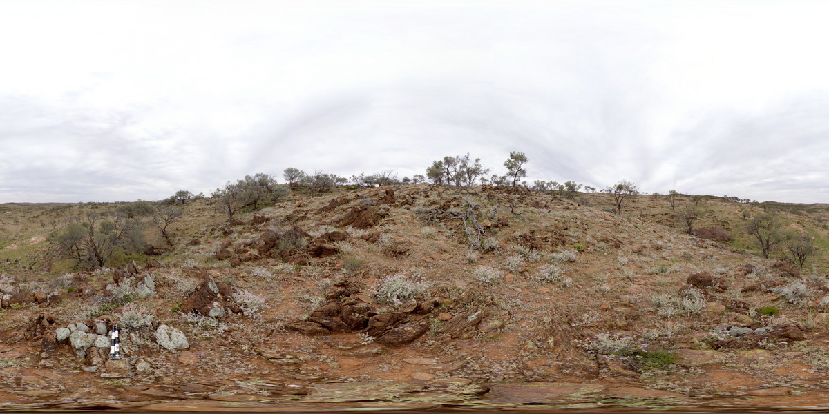
MtGippsFSP58 Map
 |
5 |
01/01/9999 midnight |
FSP |
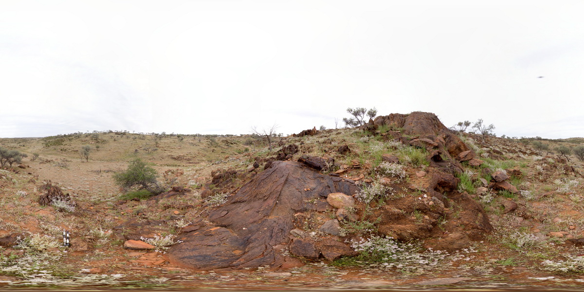
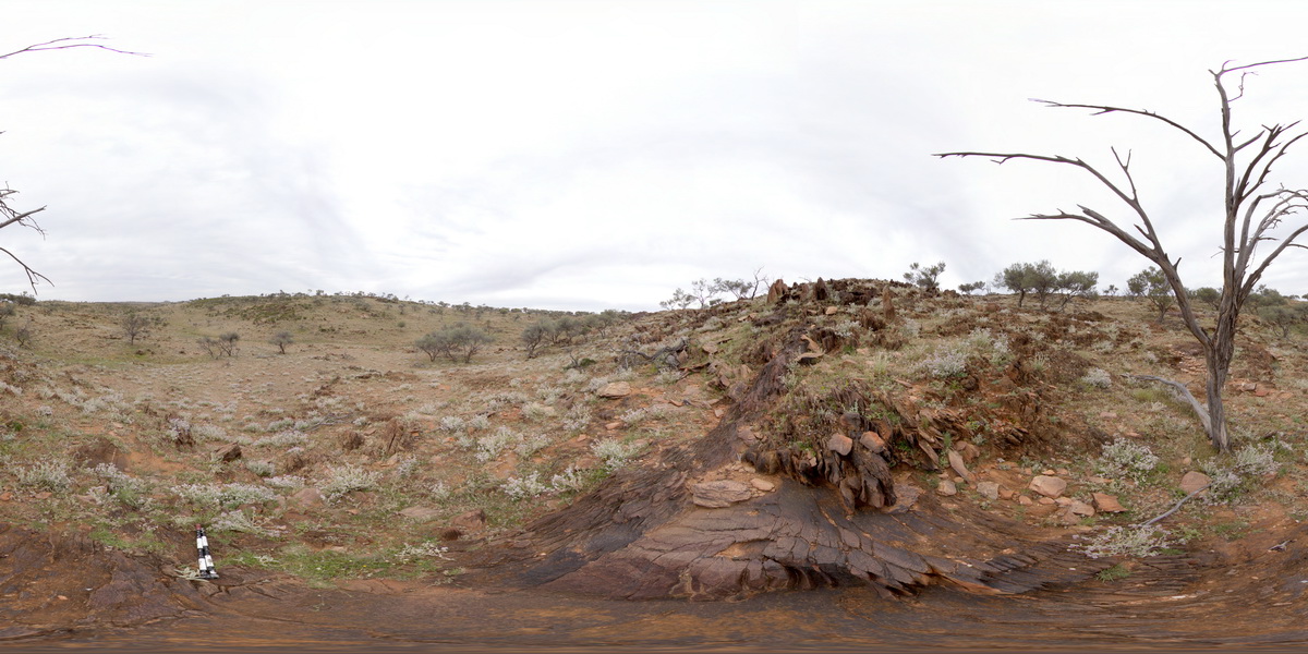
360 degree view of disrupted metasediments. Mount Gipps, N.S.W. |
250.00 |
-31.61602800000 |
141.49977100000 |
-9999.000 |
metasediments, structure |
metasediments |
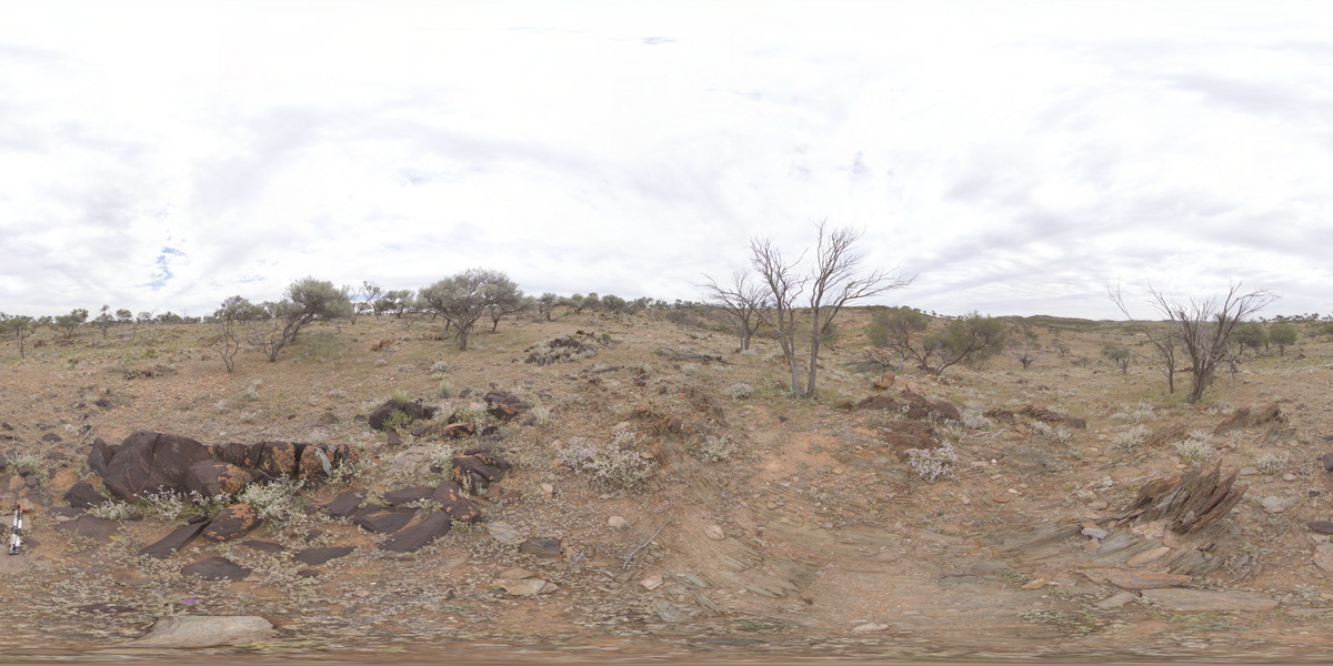
MtGippsFSP57 Map
 |
5 |
01/01/9999 midnight |
FSP |
360 degree view of disrupted metasediments. Mount Gipps, N.S.W. |
100.00 |
-31.61584100000 |
141.49931700000 |
-9999.000 |
metasediments |
metasediments |
MtGippsFSP51 Map
 |
5 |
01/01/9999 midnight |
FSP |
360 degree view of disrupted metasediments. Mount Gipps, N.S.W. |
100.00 |
-31.61684500000 |
141.50080900000 |
-9999.000 |
metasediments |
metasediments |
MtGippsFSP52 Map
 |
5 |
01/01/9999 midnight |
FSP |
360 degree view of disrupted metasediments. Mount Gipps, N.S.W. |
100.00 |
-31.61687400000 |
141.50035600000 |
-9999.000 |
metasediments |
metasediments |
MtGippsFSP59 Map
 |
5 |
01/01/9999 midnight |
FSP |
360 degree view of disrupted metasediments. Mount Gipps, N.S.W. |
100.00 |
-31.61617100000 |
141.50018300000 |
-9999.000 |
metasediments, structure |
metasediments |
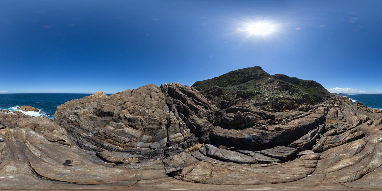
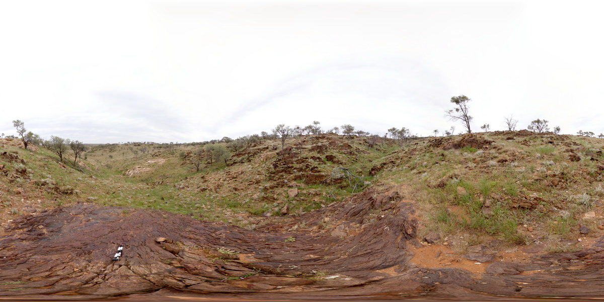
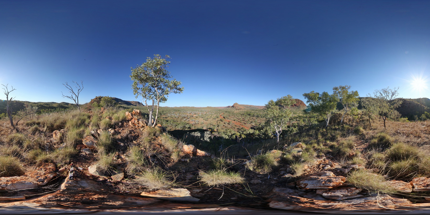
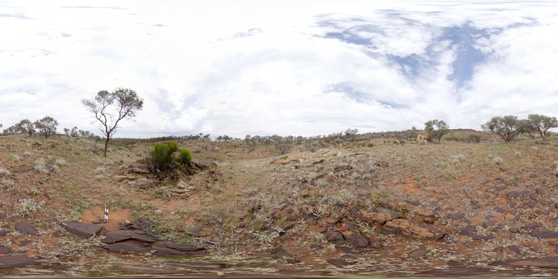
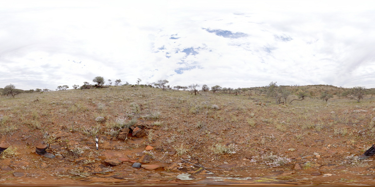
DixonRangeFSP4 Map
 |
0 |
06/14/2016 noon |
FSP |
360 degree view of fault block terrane, showing hills and ridges of metasediments and flat, recessed plane of metamorphics below. Road to Dixon Range, north W.A. |
2000.00 |
-17.21462000000 |
128.23607000000 |
-9999.000 |
fault block terrane, fault, metasediments, structure, weathering landscape |
metasediments, metasediment |
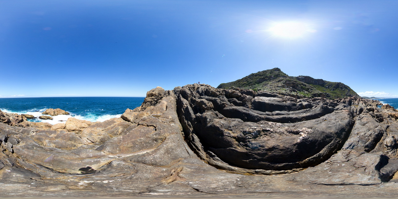
PicnicPtFSP2 Map
 |
5 |
01/01/9999 midnight |
FSP |
360 degree view of fault in pelite and psammite beds exposed at Picnic Point, Northern Tas. |
250.00 |
-41.14010200000 |
146.16233400000 |
1.000 |
fault, structure, metasediments |
metasediments |
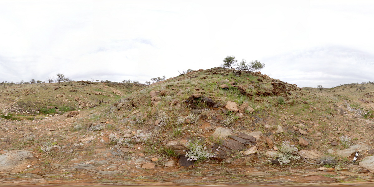
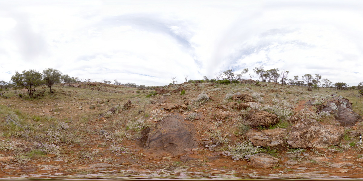
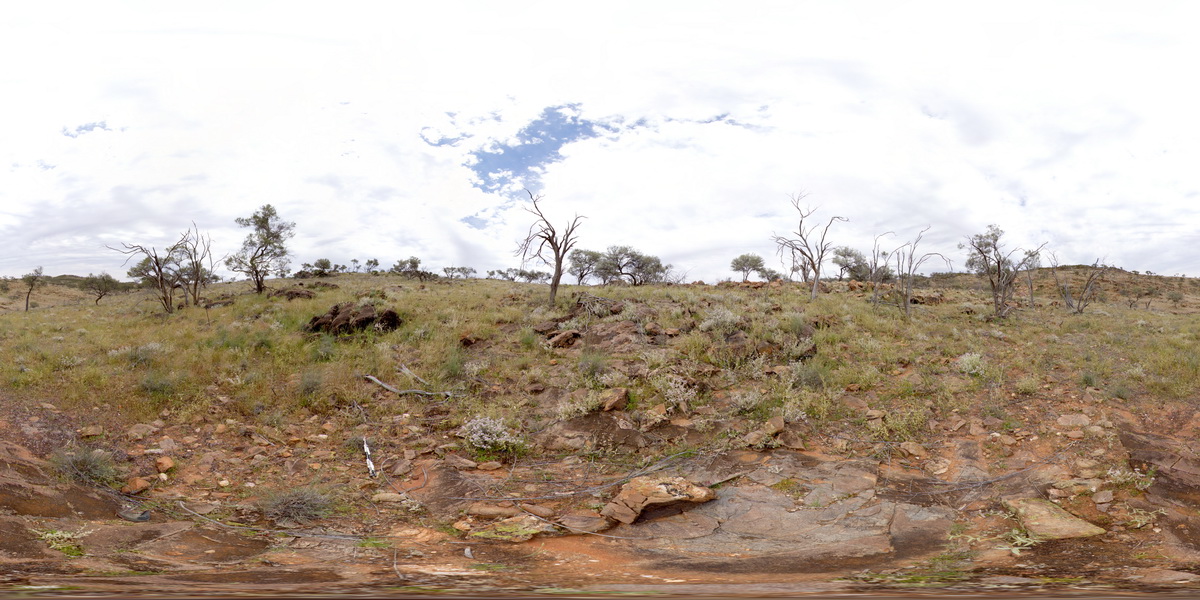
MtGippsFSP25 Map
 |
5 |
01/01/9999 midnight |
FSP |
360 degree view of folded Allendale Metasediments. Mount Gipps, N.S.W. |
250.00 |
-31.61529900000 |
141.50160200000 |
-9999.000 |
metasediments, fold, structure |
metasediment |
MtGippsFSP26 Map
 |
5 |
01/01/9999 midnight |
FSP |
360 degree view of folded Allendale Metasediments. Mount Gipps, N.S.W. |
150.00 |
-31.61508300000 |
141.50150600000 |
-9999.000 |
fold, metasediment, structure |
metasediment |
MtGippsFSP27 Map
 |
5 |
01/01/9999 midnight |
FSP |
360 degree view of folded Allendale Metasediments. Mount Gipps, N.S.W. |
250.00 |
-31.61475900000 |
141.50148300000 |
-9999.000 |
fold, metasediment, structure |
metasediment |
MtGippsFSP28 Map
 |
5 |
01/01/9999 midnight |
FSP |
360 degree view of folded Allendale Metasediments. Mount Gipps, N.S.W. |
250.00 |
-31.61466700000 |
141.50179900000 |
-9999.000 |
metasediments, fold, structure |
metasediment |
FisheryFSP1 Map
 |
0 |
10/27/2015 9:26 a.m. |
FSP |
360 degree view of folded gneiss with intruding dykes. Fishery Bay, S.A. |
100.00 |
-34.91349000000 |
135.69220000000 |
-9999.000 |
intrusive, gneiss, fold |
gneiss |
MtGippsFSP39 Map
 |
5 |
01/01/9999 midnight |
FSP |
360 degree view of folded metamorphic rocks. Mount Gipps, N.S.W. |
100.00 |
-31.61613200000 |
141.50101600000 |
-9999.000 |
metamorphic |
metamorphic rock |
MtGippsFSP41 Map
 |
5 |
01/01/9999 midnight |
FSP |
360 degree view of folded metamorphic rocks. Mount Gipps, N.S.W. |
100.00 |
-31.61551900000 |
141.50086500000 |
-9999.000 |
metamorphic rock |
metamorphic rock |
MtGippsFSP42 Map
 |
5 |
01/01/9999 midnight |
FSP |
360 degree view of folded metamorphic rocks. Mount Gipps, N.S.W. |
250.00 |
-31.61529300000 |
141.50082200000 |
-9999.000 |
metamorphic rock |
metamorphic rock |