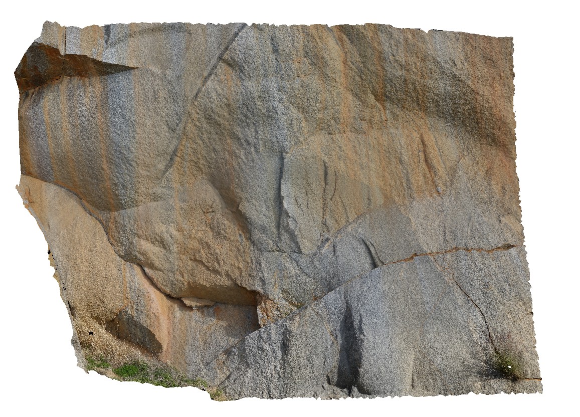
BoyaPole1 Map
 |
0 |
03/13/2015 9:27 a.m. |
3D |
Boya quarry, Boya, Western Australia. |
0.00 |
-31.91484580000 |
116.06239402000 |
-9999.000 |
|
|
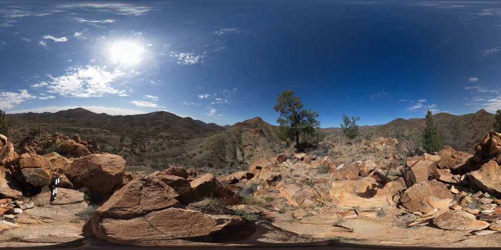
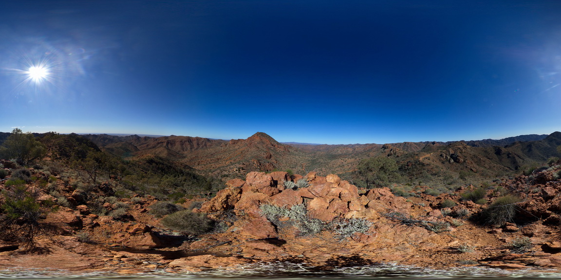
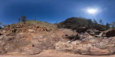
ArkaroolaFSP1 Map
 |
5 |
11/26/2015 2:04 p.m. |
FSP |
view from 'the pinnacle', Arkaroola. Northern Flinders Ranges, S.A. |
0.00 |
-30.29705000000 |
139.31039000000 |
-9999.000 |
leucogranite |
granite |
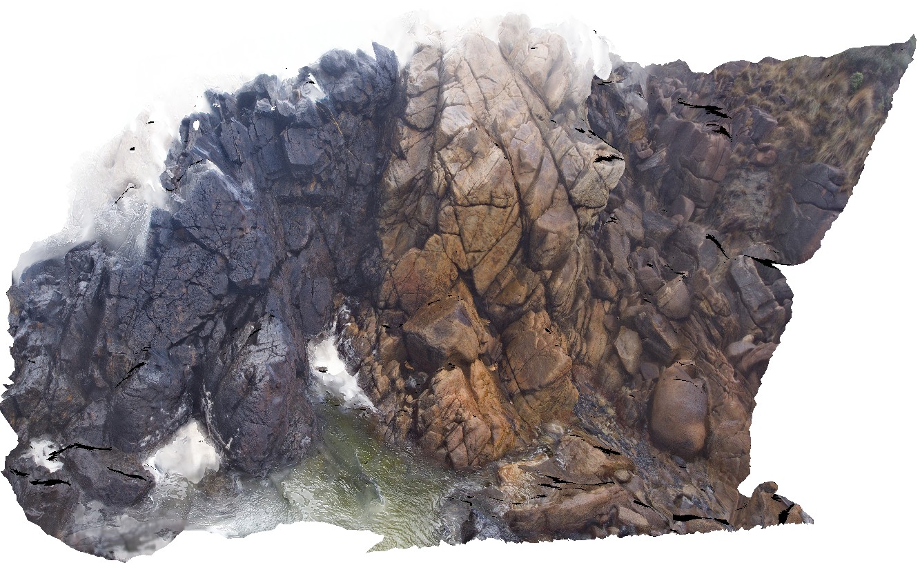
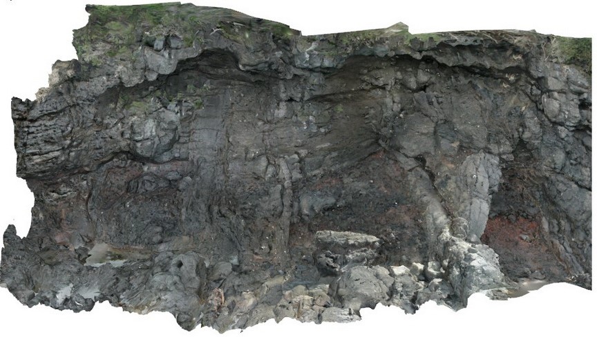
Trial9 Map
 |
0 |
08/11/2016 noon |
3D |
view of main Devonian granite contact with Cambrian ultramafic complex. Trial Harbour, West Coast Tas. |
0.00 |
-41.92490000000 |
145.16165000000 |
-9999.000 |
geological contact, Heemskirk Red Granite |
granite, serpentinite |
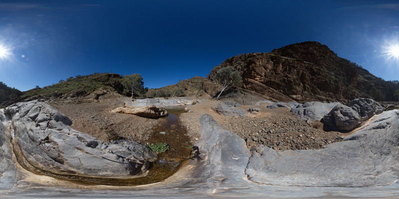
BlinmanFSP2 Map
 |
0 |
11/27/2015 10:24 a.m. |
FSP |
out crop and cliff exposure of gently - moderately dipping, bedded carbonates, Blinman Pools walking trail. Blinman, S.A. |
0.00 |
-31.12832800000 |
138.58078600000 |
-9999.000 |
carbonate |
carbonate |
LordHowe10 Map
 |
20 |
03/16/2015 2:50 p.m. |
3D |
basalts intruded by dykes. Lord Howe Island. |
0.00 |
-31.52197862000 |
159.05226474000 |
0.000 |
dyke, intrusion |
basalt |
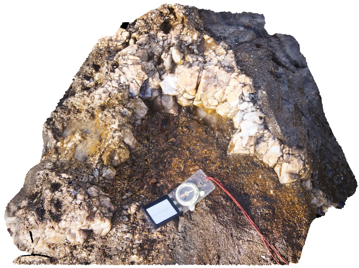
Trial23 Map
 |
0 |
08/11/2016 noon |
3D |
UST with large pyramidal quartz projecting inward and downward. Trial Harbour, West Coast Tas. |
0.00 |
-41.92304000000 |
145.15709000000 |
-9999.000 |
UST texture, Heemskirk White Granite, crystal terminations |
granite |
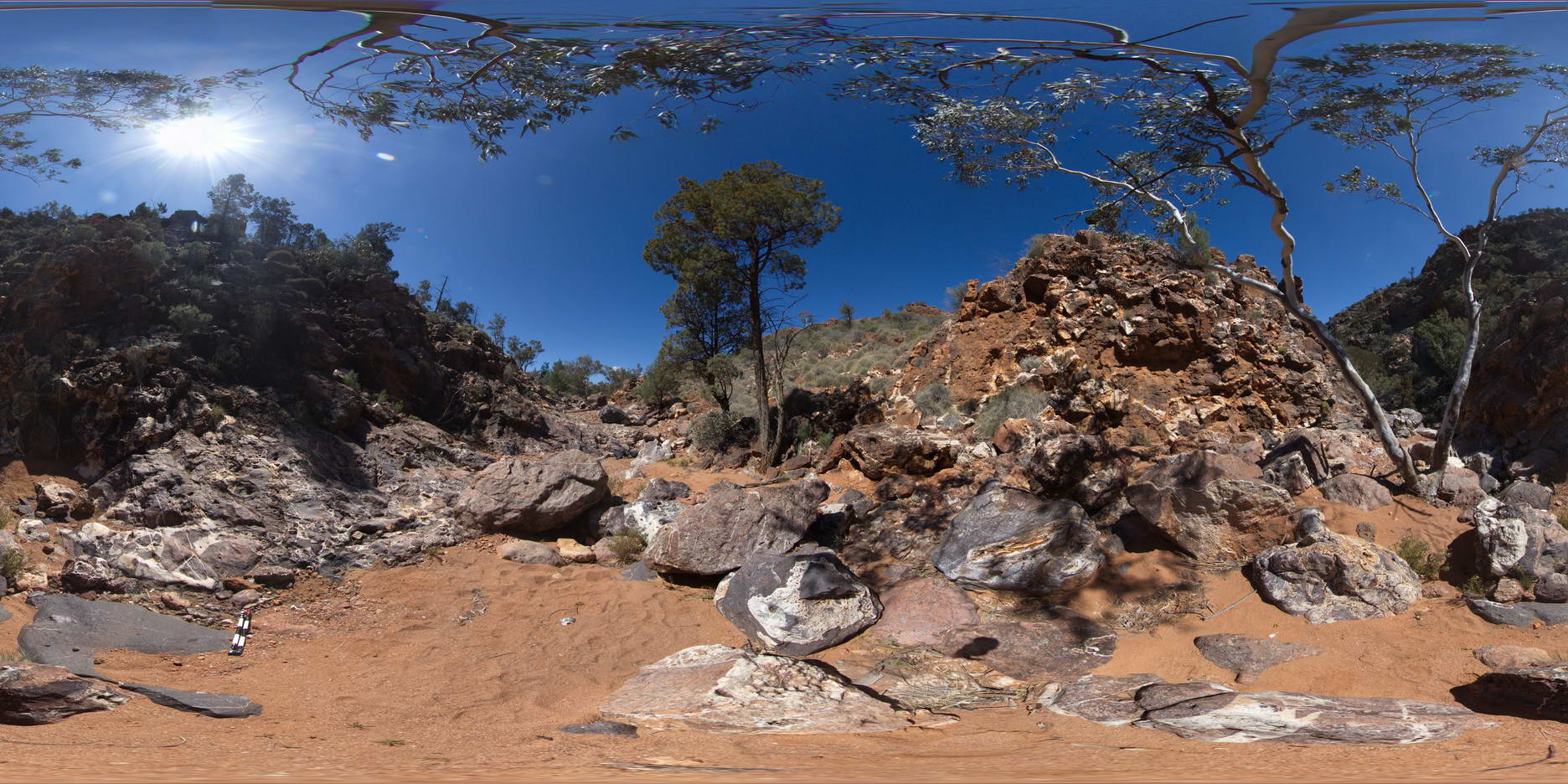
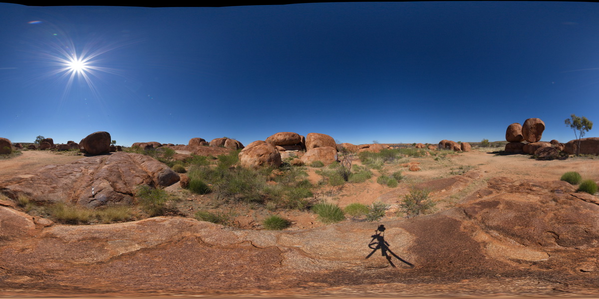
ArkaroolaFSP5 Map
 |
5 |
09/27/2015 5:56 p.m. |
FSP |
View form spur leading to Mt Painter. Looking back to ridge top track, with view of Mt Gee Sinter blocks in the foreground. The ridge across to Mt Painter and views out to the surrounding Arkaroola can also be seen. Northern Flinders Ranges, S.A. |
0.00 |
-30.22092000000 |
139.36333000000 |
-9999.000 |
Blocks |
Sinter |
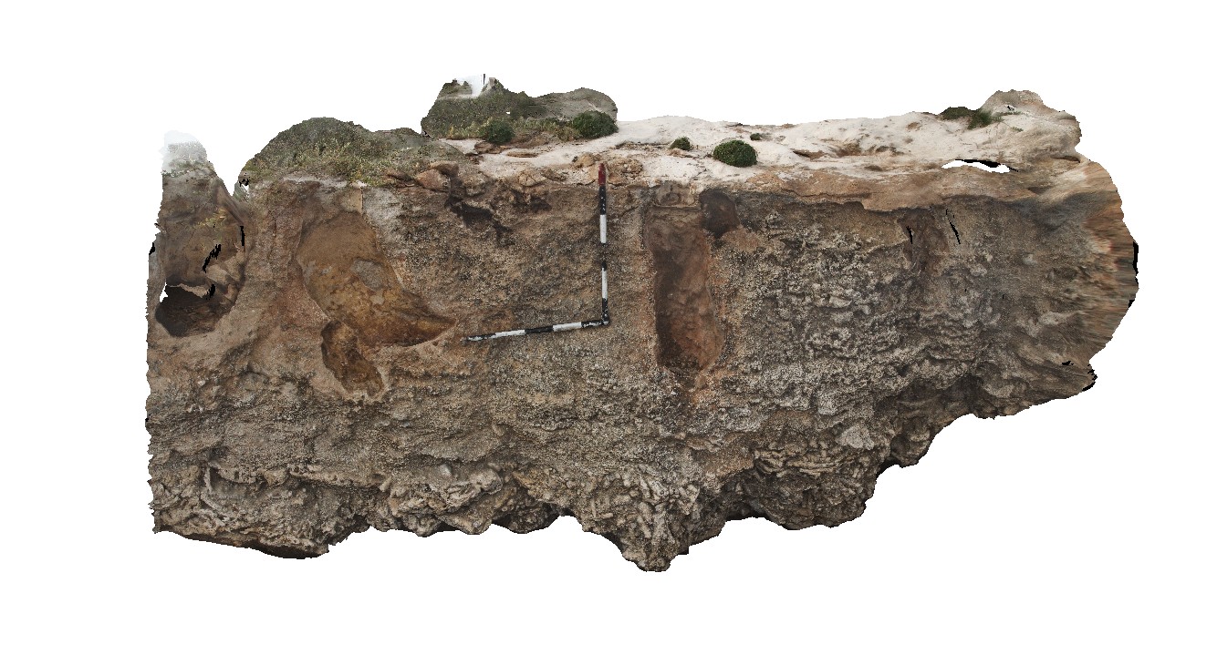
HastingsPt2 Map
 |
1 |
07/09/2015 4:27 p.m. |
3D |
fold in metasediments in offshore rock - approximately 2.5m across. Devonian - Carboniferous Neranleigh-Fernvale Beds. Hastings Point, QLD. |
0.00 |
-28.33676000000 |
153.57729000000 |
-9999.000 |
fold, structure |
sandstone |
LiptrapPole3 Map
 |
20 |
03/13/2015 9:25 a.m. |
3D |
steeply dipping Asymmetrical and chevron folding with cross cutting faults in finely bedded turbidites. Cape Liptrap, Vic. |
0.00 |
-38.90395783000 |
145.91709577000 |
0.000 |
folding, structure, fault |
turbidite |
WestBeach5 Map
 |
0 |
06/05/2016 10:50 a.m. |
3D |
'M' folding in garnet schist, West Beach, W.A. |
0.00 |
-33.95352000000 |
119.97489000000 |
-9999.000 |
M folds, structure, garnet schist |
garnet schist |
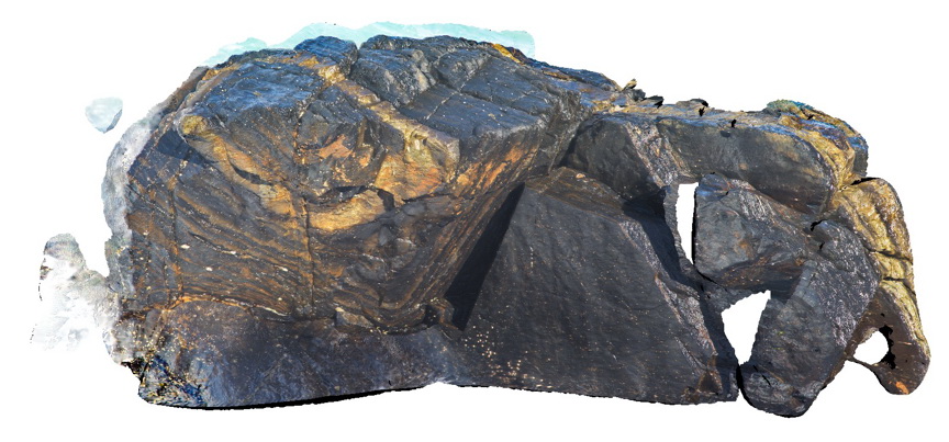
Weetootla13 Map
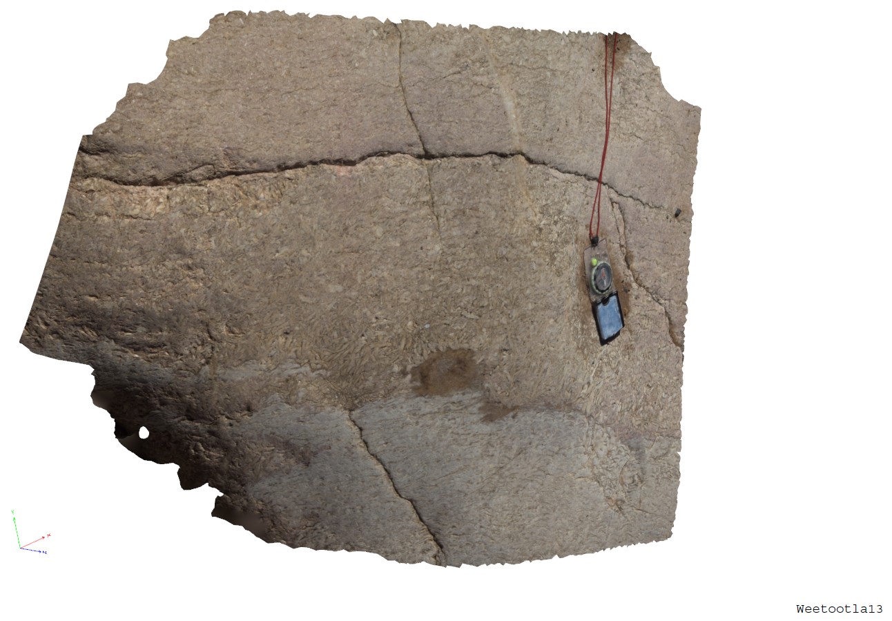 |
0 |
09/27/2015 4:18 p.m. |
3D |
band of coarsly crystalline bladed magnesite. Weetootla Gorge. |
0.00 |
-30.47941000000 |
139.22784000000 |
-9999.000 |
bladed carbonate |
marble |
ArkaroolaFSP9 Map
 |
5 |
11/26/2015 3:14 p.m. |
FSP |
hematitic and granitic brecciated boulders and outcrop exposed in creek bed. Quartz veins cross-cut and also host breccia clasts. Arkaroola. Northern Flinders Ranges, S.A. |
0.00 |
-30.22888000000 |
139.34544000000 |
-9999.000 |
breccia, quartz veining |
breccia |
Pedder13 Map
 |
5 |
03/16/2015 2:26 p.m. |
3D |
fault cutting folded quartzite. Lake Pedder, south west Tasmania. |
0.00 |
-42.84890616000 |
146.10493121000 |
-9999.000 |
fault, fold, structure, quartzite |
quartzite |
CanberraGiga3 Map
 |
1 |
06/17/2015 10:30 a.m. |
GIGA |
— |
0.00 |
-35.30408000000 |
149.12651000000 |
-9999.000 |
|
|
Bicheno7 Map
 |
0 |
03/13/2015 9:02 a.m. |
3D |
Biotite-tourmaline clots and associated k-feld alteration within porphyritic Bicheno Granite of the Boobyalla Suite. Tas. |
0.00 |
-41.86977728000 |
148.30369533000 |
-9999.000 |
igneous, porphyritic, granite, alteration |
Granite |
CanberraGiga2 Map
 |
0 |
06/17/2015 10:29 a.m. |
GIGA |
— |
0.00 |
-35.30408000000 |
149.12651000000 |
-9999.000 |
|
|
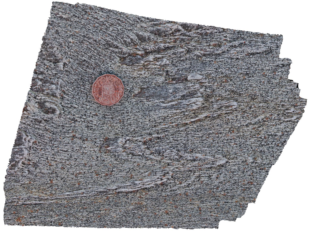
DevmFSP1 Map
 |
5 |
07/22/2016 12:52 p.m. |
FSP |
view of Devils Marbles granite outcrop. Karlu Karlu / Devils Marbles Conservation Reserve. N.T. |
0.00 |
-20.55961100000 |
134.26470100000 |
412.342 |
Devils Marbles, granite, weathering |
granite |
MyrtleBch2 Map
 |
1 |
06/17/2015 9:23 a.m. |
3D |
Large (~6m) megaclast of folded Wagonga Group rocks within cliff of Permian Snapper Point Formation. Poor image due to limited vantage points. No scale. Myrtle Beach, N.S.W. |
0.00 |
-35.68269000000 |
150.30045800000 |
-9999.000 |
megaclast, sedimentology |
sandstone |
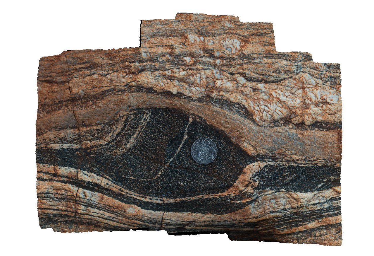
Olary71 Map
 |
0 |
09/27/2015 6:39 p.m. |
3D |
detailed view of calc-silicate ellipsoids at site Olary70. Olary, S.A. |
0.00 |
-32.11449000000 |
140.30037000000 |
-9999.000 |
calc-silicate, fold, structure |
psammite |
ArkaroolaFSP6 Map
 |
5 |
11/26/2015 2:08 p.m. |
FSP |
Outcrop on edge of creek bed showing granitic and hematitic breccias cross cut by quartz veining. Creek below Mt Gee, Arkaroola. Northern Flinders Ranges, S.A. |
0.00 |
-30.22874000000 |
139.34581000000 |
-9999.000 |
rebrecciated breccia, quartz veins |
Sinter |
LordHowe13 Map
 |
20 |
03/16/2015 2:51 p.m. |
3D |
welded scoria. Lord Howe Island. |
0.00 |
-31.51990632000 |
159.05360757000 |
0.000 |
|
basalt |
Dongara3 Map
 |
0 |
05/18/2016 noon |
3D |
reef facies and karstic features in Tamala Limestone, Dongra, W.A. |
0.00 |
-29.27914000000 |
114.91576000000 |
-9999.000 |
limestone, reef facies, palaeontology, fossil |
limestone |
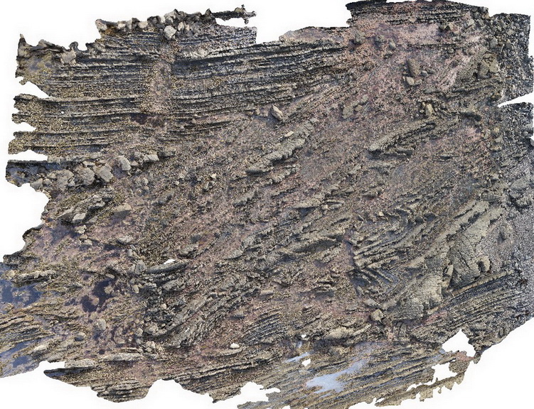
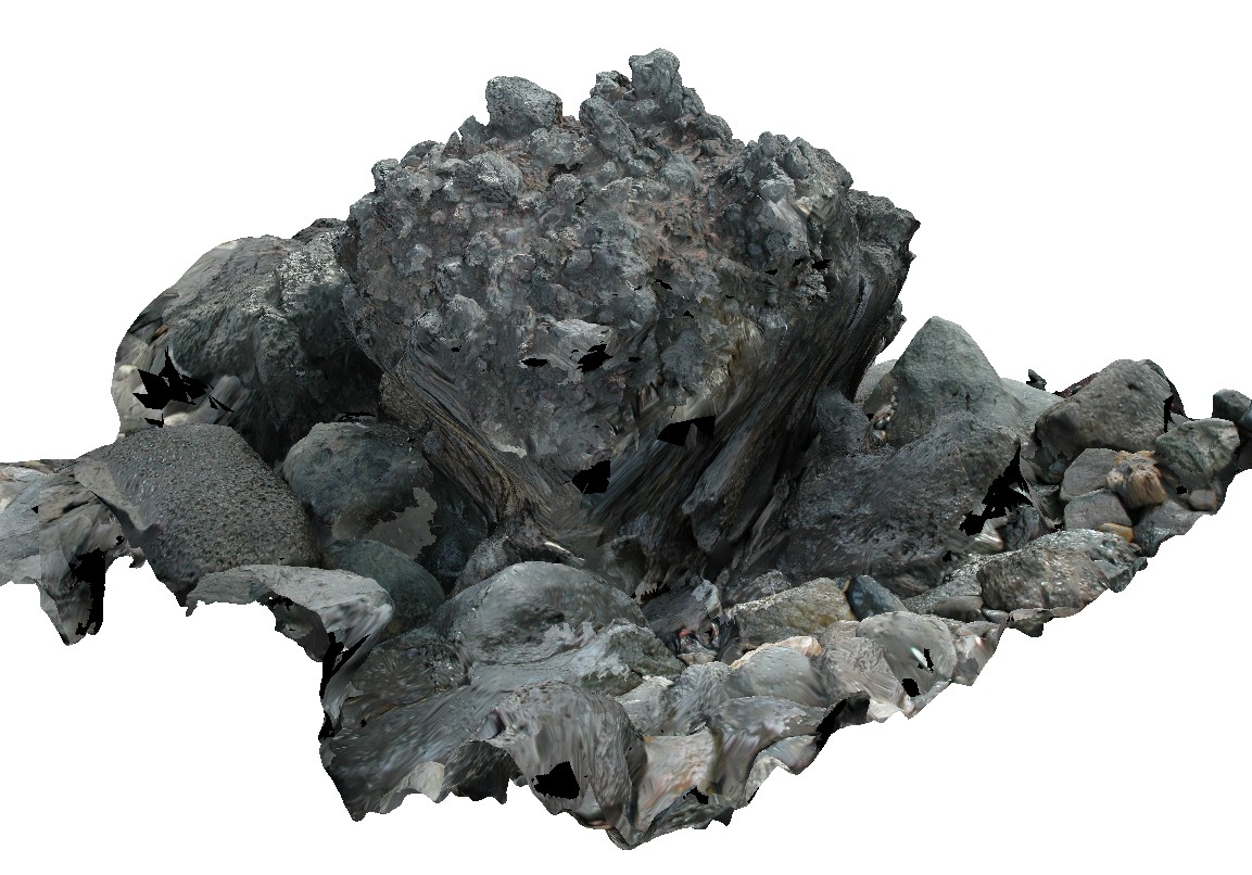
EPilbara23 Map
 |
0 |
06/01/2016 noon |
3D |
detail of contact between mylonite and amphibolite boudin. Woodstock - Rocky Island Road, East Pilbara, W.A. |
0.00 |
-21.53887000000 |
119.35501000000 |
-9999.000 |
mylonite, amphibolite, boudinage |
mylonite |
ArkaroolaFSP7 Map
 |
5 |
11/26/2015 2:14 p.m. |
FSP |
pavement exposure of breccia cross cut by quartz veining in creek bed, Arkaroola. Northern Flinders Ranges, S.A. |
0.00 |
-30.22880000000 |
139.34572000000 |
-9999.000 |
breccia, quartz veining |
breccia |
Mitchell17 Map
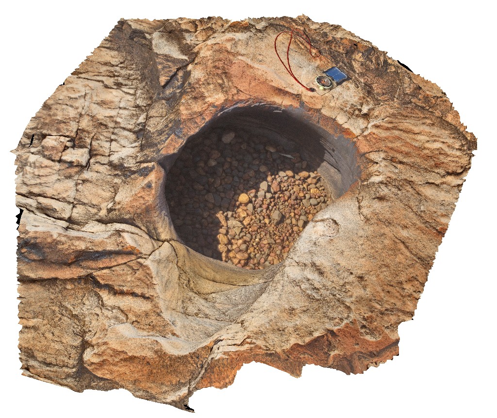 |
0 |
06/08/2016 noon |
3D |
pot hole with small rounded grind stones. Surveyors pool. Mitchell Plateau, Kimberley, W.A. |
0.00 |
-14.67411000000 |
125.73239000000 |
-9999.000 |
sandstone, King Leopold Sandstone, pot hole, grind stone |
sandstone |