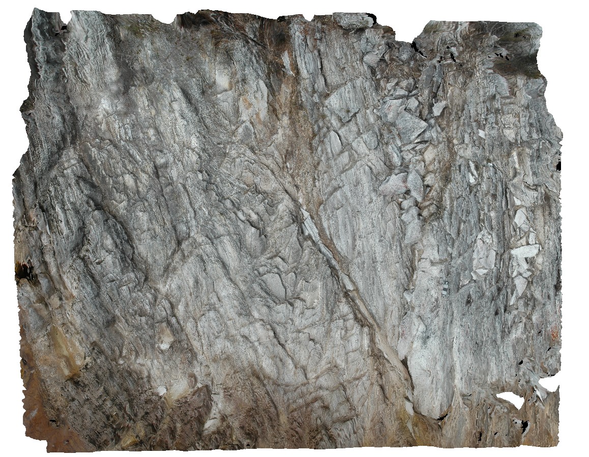
WeetootlaFSP15 Map
 |
0 |
09/27/2015 6:21 p.m. |
FSP |
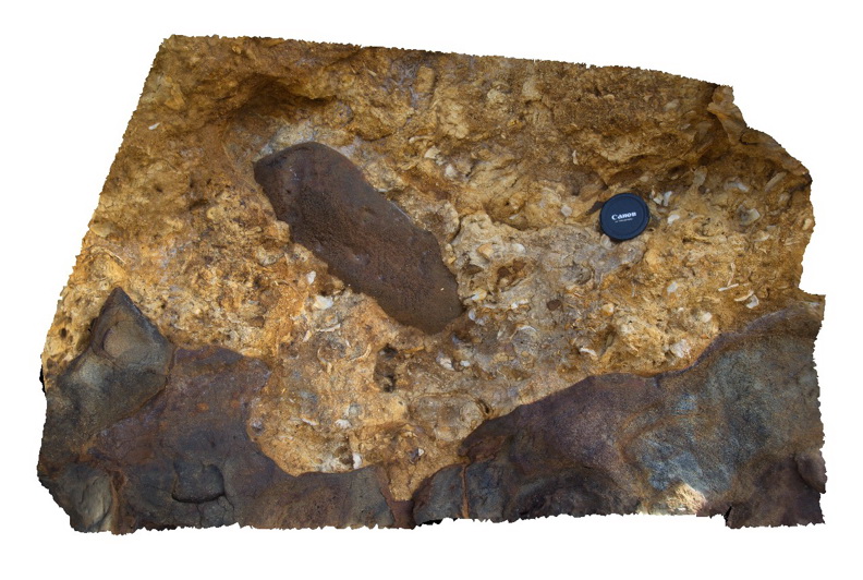
massive to very thinly bedded carbonates of the Balcanoona Formation, Weetootla Creek. |
0.00 |
-30.47003000000 |
139.24716000000 |
-9999.000 |
bedded, sedimentology |
carbonate |
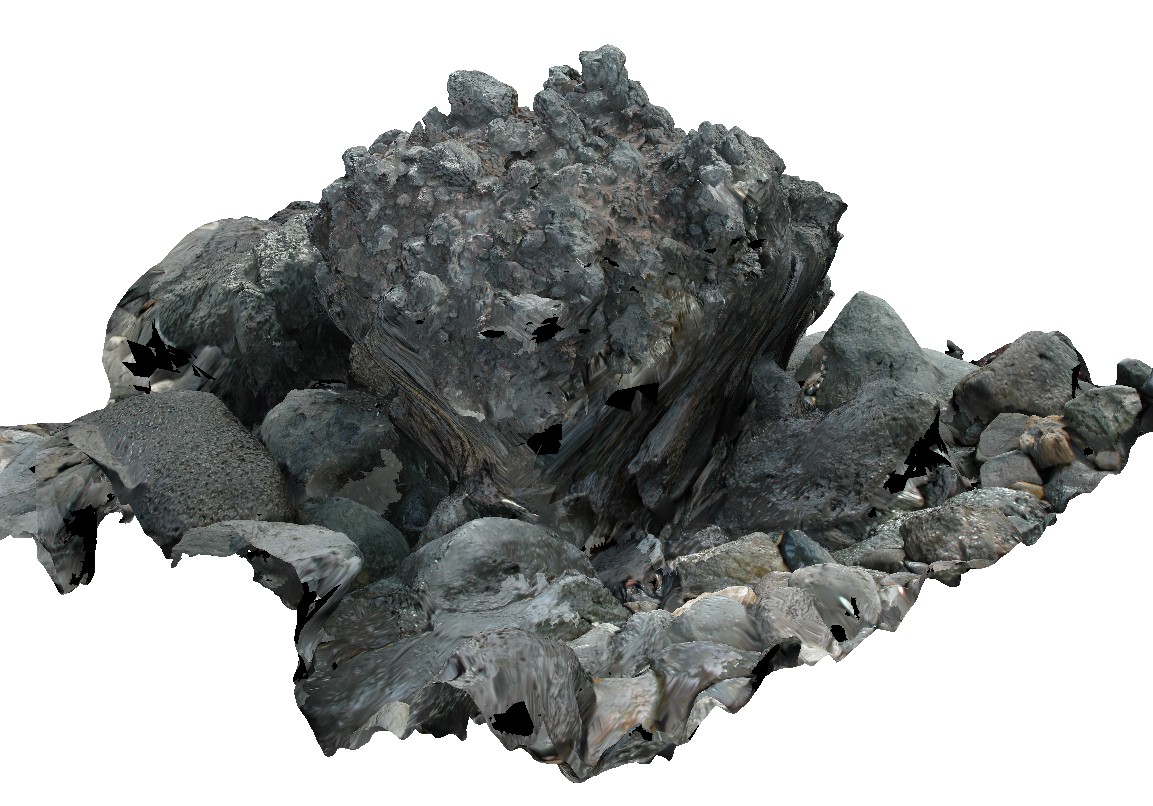
Arkaroola9 Map
 |
5 |
11/06/2015 1:37 p.m. |
3D |
Boulder of granite breccia at the Pinnacles, Arkaroola. Northern Flinders Ranges, S.A. |
0.00 |
-30.29921000000 |
139.30934000000 |
-9999.000 |
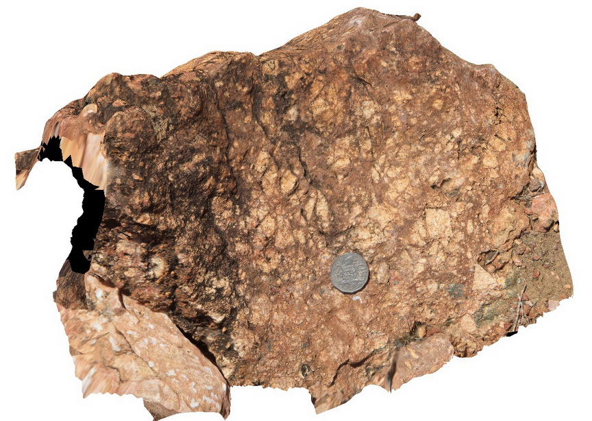
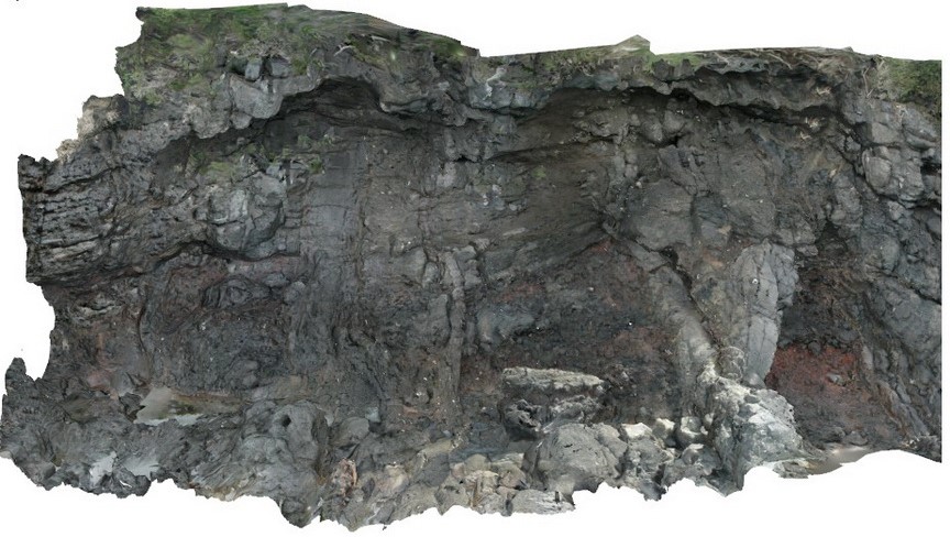
breccia |
breccia |
NambuccaGiga1 Map
 |
0 |
01/01/9999 midnight |
GIGA |
Nambucca, N.S.W. |
0.00 |
-30.64660000000 |
153.01932000000 |
-9999.000 |
|
|
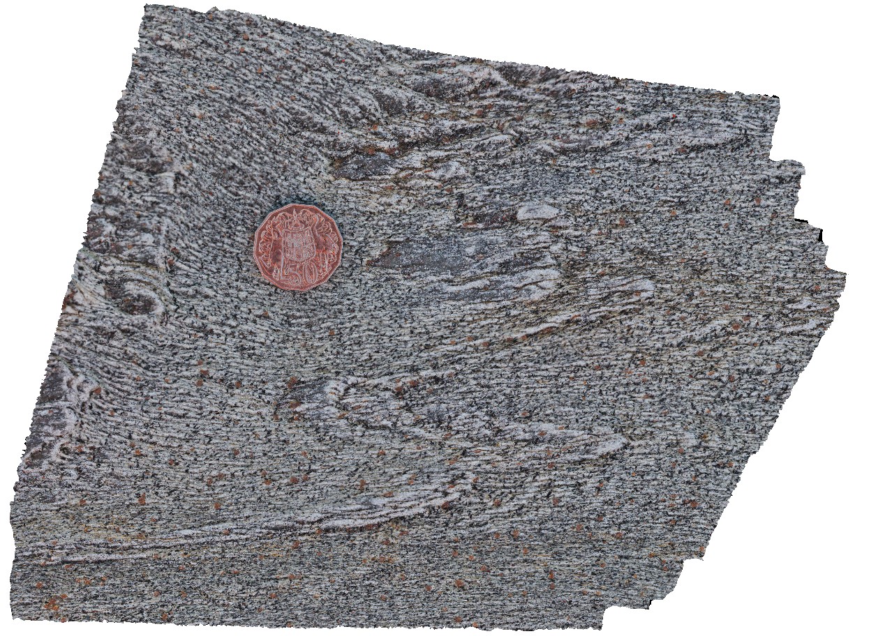
ArkaroolaUAV1 Map
 |
20 |
04/19/2016 12:27 p.m. |
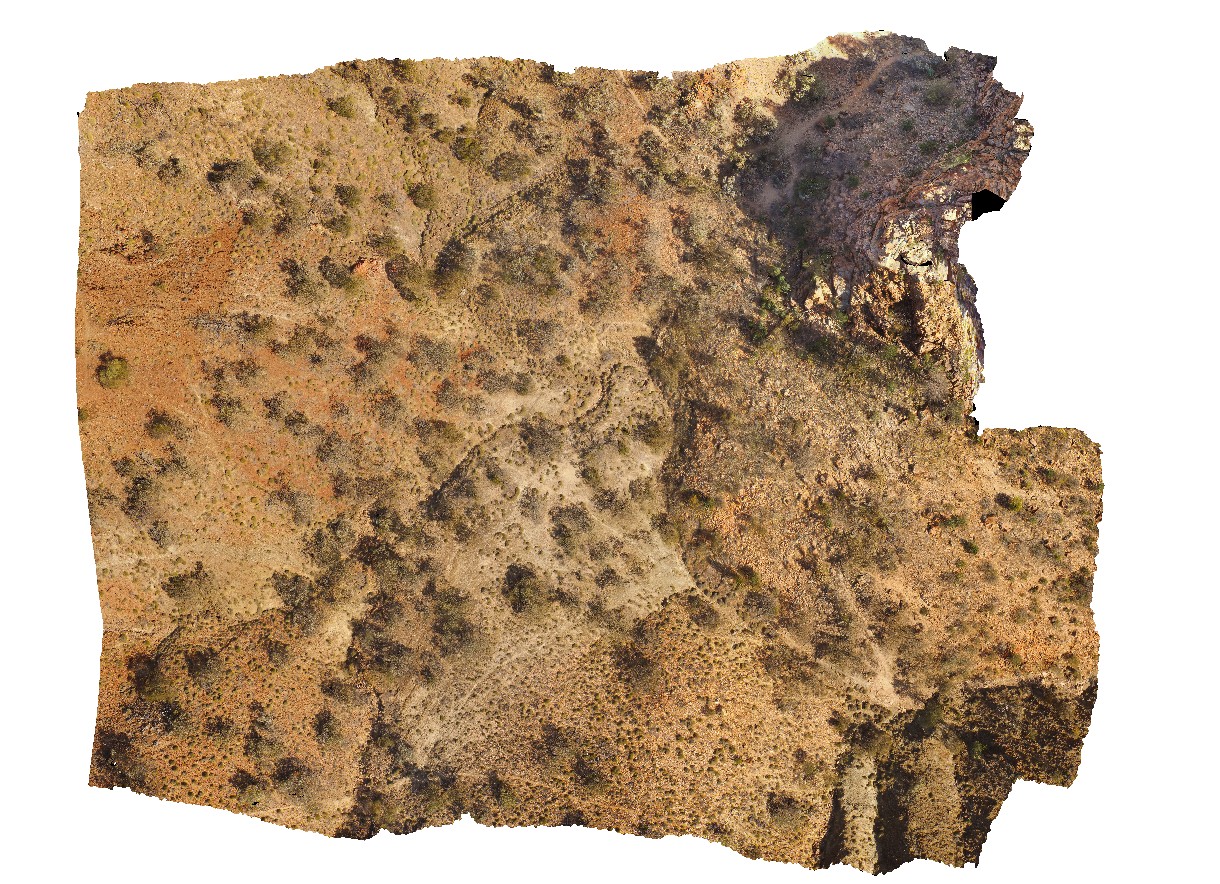
UAV |
view of 'The Pinnacles' showing massive leucogranite, Arkaroola. Northern Flinders Ranges, S.A. |
0.00 |
-30.22888000000 |
139.34544000000 |
-9999.000 |
leucogranite |
granite |
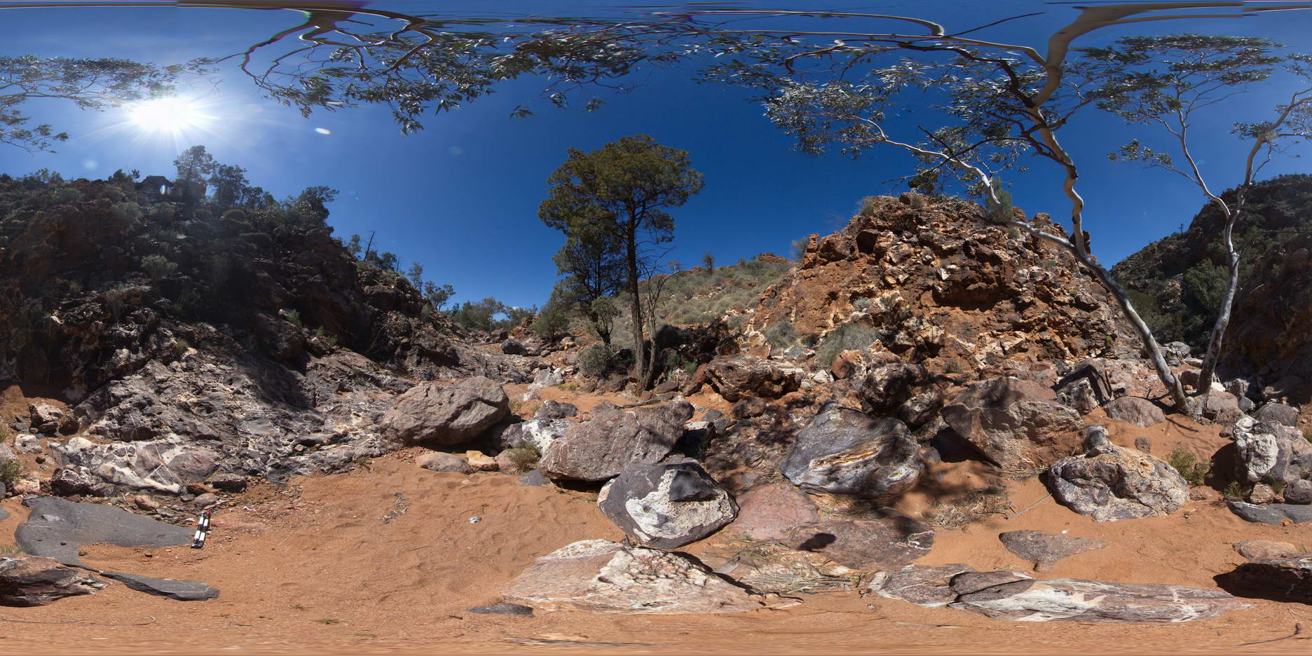
ArkaroolaFSP5 Map
 |
5 |
09/27/2015 5:56 p.m. |
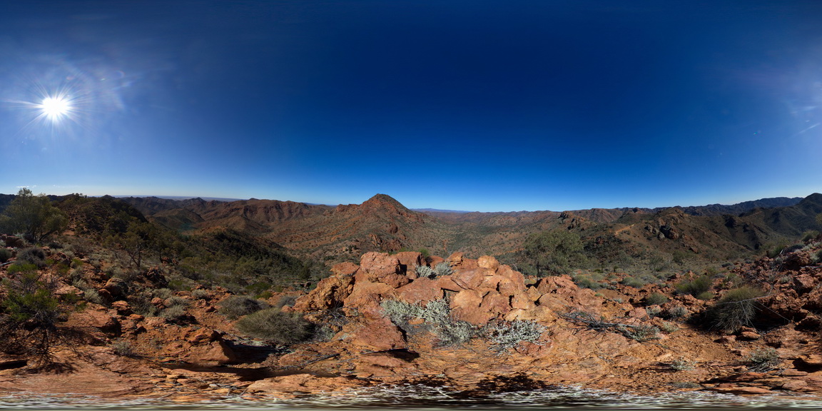
FSP |
View form spur leading to Mt Painter. Looking back to ridge top track, with view of Mt Gee Sinter blocks in the foreground. The ridge across to Mt Painter and views out to the surrounding Arkaroola can also be seen. Northern Flinders Ranges, S.A. |
0.00 |
-30.22092000000 |
139.36333000000 |
-9999.000 |
Blocks |
Sinter |
TowerHillGIGA1 Map
 |
10 |
01/01/9999 midnight |
GIGA |
— |
0.00 |
-38.32723000000 |
142.36790000000 |
-9999.000 |
|
tuff |
ArkaroolaFSP7 Map
 |
5 |
11/26/2015 2:14 p.m. |
FSP |
pavement exposure of breccia cross cut by quartz veining in creek bed, Arkaroola. Northern Flinders Ranges, S.A. |
0.00 |
-30.22880000000 |
139.34572000000 |
-9999.000 |
breccia, quartz veining |
breccia |
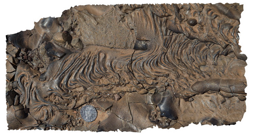
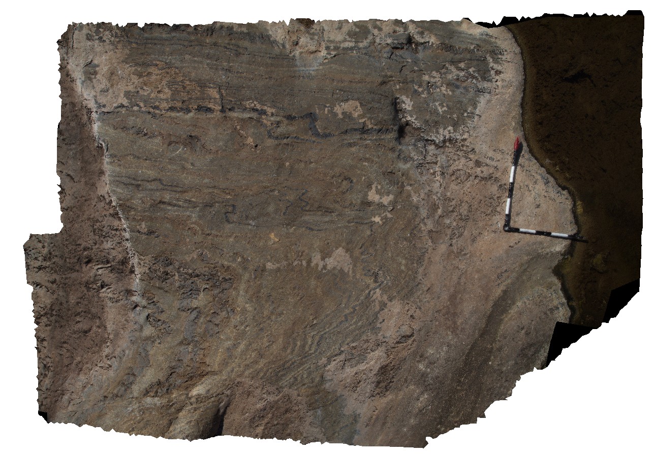
LiptrapPole1 Map
 |
20 |
03/13/2015 9:25 a.m. |
3D |
wave cut platform showing chevron folding and cross cutting faults in finely bedded turbidites. Cape Liptrap, Vic. |
0.00 |
-38.90406232000 |
145.91729772000 |
0.000 |
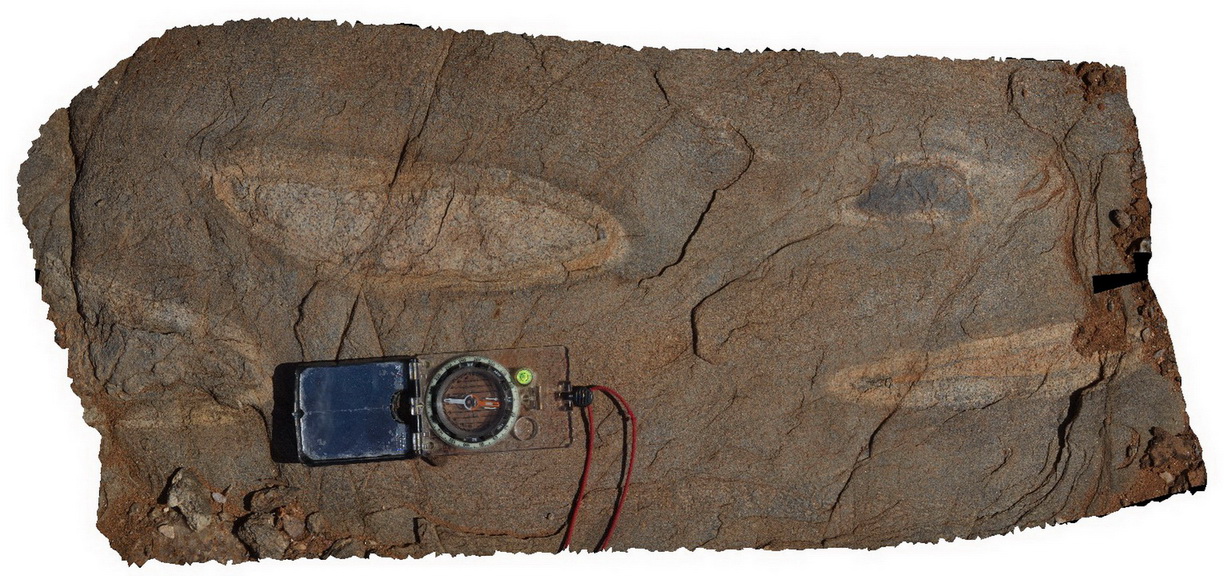
turbidite, chevron folds, structure |
turbidite |
Blinman6 Map
 |
0 |
11/12/2015 10:13 a.m. |
3D |
Detail of ropy, flow textures in slag. Blinman Mine. Blinman, S.A. |
0.00 |
-31.08684000000 |
138.67450000000 |
-9999.000 |
slag, ropy flow banking |
Slag |
WestBeach5 Map
 |
0 |
06/05/2016 10:50 a.m. |
3D |
'M' folding in garnet schist, West Beach, W.A. |
0.00 |
-33.95352000000 |
119.97489000000 |
-9999.000 |
M folds, structure, garnet schist |
garnet schist |
ArkaroolaFSP9 Map
 |
5 |
11/26/2015 3:14 p.m. |
FSP |
hematitic and granitic brecciated boulders and outcrop exposed in creek bed. Quartz veins cross-cut and also host breccia clasts. Arkaroola. Northern Flinders Ranges, S.A. |
0.00 |
-30.22888000000 |
139.34544000000 |
-9999.000 |
breccia, quartz veining |
breccia |
ArkaroolaFSP10 Map
 |
5 |
11/26/2015 3:14 p.m. |
FSP |
haematitic and granitic brecciated boulders and outcrop exposed in creek bed. Quartz veins cross-cut and also host breccia clasts. Arkaroola. Northern Flinders Ranges, S.A. |
0.00 |
-30.22888000000 |
139.34531000000 |
-9999.000 |
breccia, quartz veining |
breccia |
Splitpoint16 Map
 |
5 |
06/17/2015 10:49 a.m. |
3D |
Detailed view of the disconformable contact between basalt of the Oligocene Angahook Formation and bioclastic limestone of the Oligocene-Miocene Torquay Group. Split Point, Vic. |
0.00 |
-38.46855000000 |
144.10698000000 |
-9999.000 |
palaeontology, disconformity, volcanology, sedimentology |
basalt, limestone |
LordHowe10 Map
 |
20 |
03/16/2015 2:50 p.m. |
3D |
basalts intruded by dykes. Lord Howe Island. |
0.00 |
-31.52197862000 |
159.05226474000 |
0.000 |
dyke, intrusion |
basalt |
CapeWickham9 Map
 |
5 |
04/25/2015 11:52 a.m. |
3D |
steeply plunging fold hinge in quartzite and pelites. Cape Wickham, King Island. Tasmania. |
0.00 |
-39.59211212000 |
143.92782848000 |
2.000 |
fold hinge, fold, structure, metamorphic |
quartzite |
CanberraGiga1 Map
 |
1 |
06/17/2015 10:27 a.m. |
GIGA |
— |
0.00 |
-35.30408000000 |
149.12651000000 |
-9999.000 |
|
|
OlaryUAV2 Map
 |
0 |
09/27/2015 6:50 p.m. |
UAV |
aerial view of Old Boolcoomata Conglomerate Member, showing interbedded conglomerate with pebbly sandstone and siltstone. Old Boolcoomata Station. Olary. S.A. |
0.00 |
-32.09433000000 |
140.27747000000 |
-9999.000 |
conglomerate, sedimentology |
conglomerate |
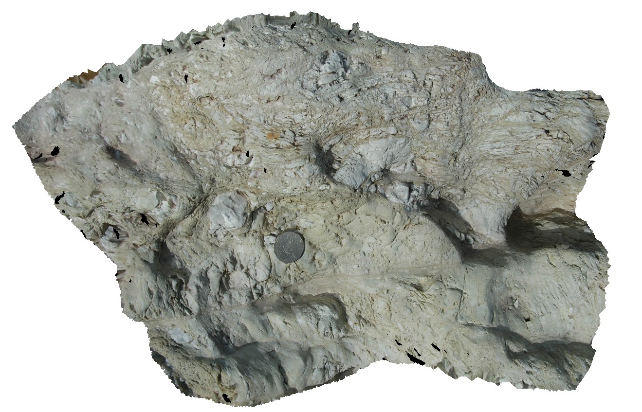
Olary71 Map
 |
0 |
09/27/2015 6:39 p.m. |
3D |
detailed view of calc-silicate ellipsoids at site Olary70. Olary, S.A. |
0.00 |
-32.11449000000 |
140.30037000000 |
-9999.000 |
calc-silicate, fold, structure |
psammite |
Pedder13 Map
 |
5 |
03/16/2015 2:26 p.m. |
3D |
fault cutting folded quartzite. Lake Pedder, south west Tasmania. |
0.00 |
-42.84890616000 |
146.10493121000 |
-9999.000 |
fault, fold, structure, quartzite |
quartzite |
LordHowe13 Map
 |
20 |
03/16/2015 2:51 p.m. |
3D |
welded scoria. Lord Howe Island. |
0.00 |
-31.51990632000 |
159.05360757000 |
0.000 |
|
basalt |
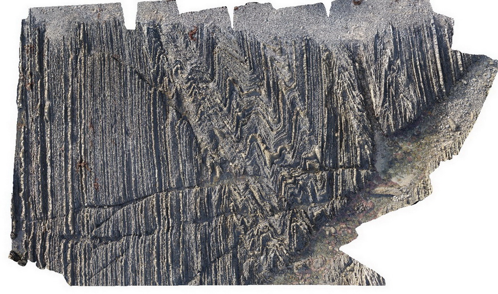
Weetootla19 Map
 |
0 |
09/27/2015 4:23 p.m. |
3D |
finely bedded mudstone and carbonate exhibiting parasitic folding. Fold vergence relationships around a large fold hinge. Weetootla Creek. |
0.00 |
-30.47623000000 |
139.24344000000 |
-9999.000 |
parasitic fold, structure |
carbonate |
MallacootaGiga1 Map
 |
0 |
05/18/2015 2:01 p.m. |
GIGA |
location inferred from nearby images. Mallacoota, Vic. |
0.00 |
-37.57225000000 |
149.76472000000 |
-9999.000 |
|
|
CanberraGiga3 Map
 |
1 |
06/17/2015 10:30 a.m. |
GIGA |
— |
0.00 |
-35.30408000000 |
149.12651000000 |
-9999.000 |
|
|
Pedder25 Map
 |
5 |
03/16/2015 2:28 p.m. |
3D |
fault contact with surrounding sediments, showing cataclasite and shear structures. Lake Pedder, south west Tasmania. |
0.00 |
-42.95896997000 |
146.13457732000 |
-9999.000 |
shear, fault, cataclasite |
mudstone |
Stokes12 Map
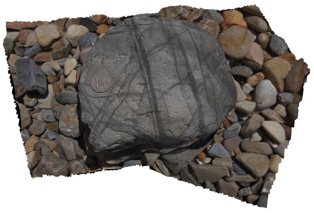 |
0 |
10/20/2015 3:55 p.m. |
3D |
loose boulder with multiple shear bands in phyllite. Stratigraphy unknown. Snelling Beach, Kangaroo Island. |
0.00 |
-35.66823000000 |
137.06271000000 |
-9999.000 |
|
phyllite |