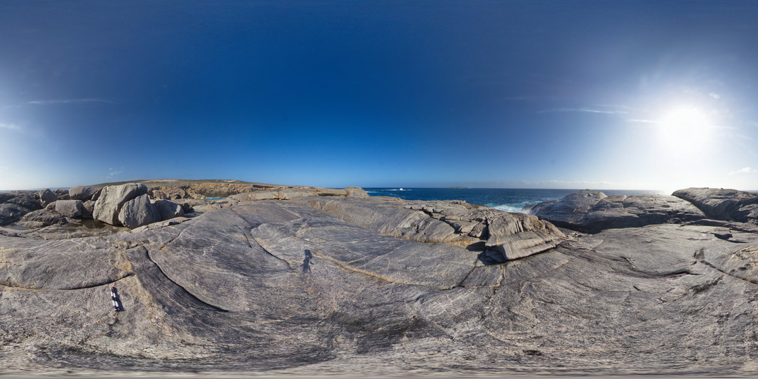
CarnotFSP3 Map
 |
0 |
10/28/2015 12:23 p.m. |
FSP |
shoreline exposure showing banded gneiss and shear zone disrupted mafic dyke. Cape Carnot. S.A. |
1000.00 |
-34.94378000000 |
135.62018000000 |
-9999.000 |
shear zone, mafic dyke, gneiss |
gneiss |
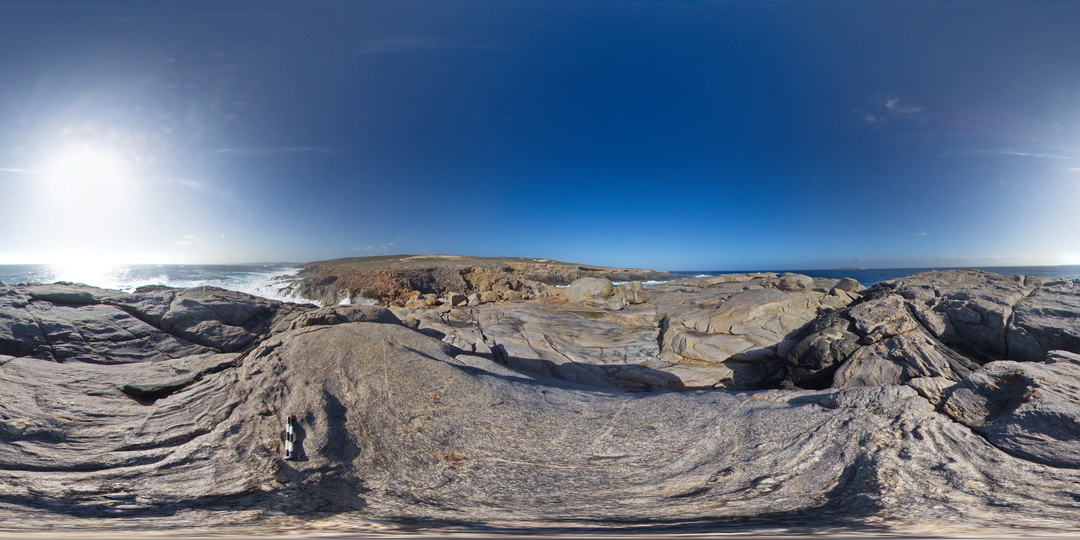
CarnotFSP5 Map
 |
0 |
10/28/2015 12:23 p.m. |
FSP |
shoreline exposure, with deformed pegmatite intruding gneiss, Cape Carnot. S.A. |
1000.00 |
-34.94335000000 |
135.62010000000 |
-9999.000 |
pegmatite, gneiss, structure |
gneiss |
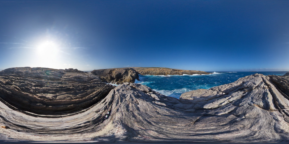
CarnotFSP6 Map
 |
0 |
10/28/2015 12:23 p.m. |
FSP |
shoreline exposure, showing garnet porphyroblast in banded gneiss. Cape Carnot. S.A. |
1000.00 |
-34.94283000000 |
135.62138000000 |
-9999.000 |
garnet porphyroblast, gneiss |
gneiss |
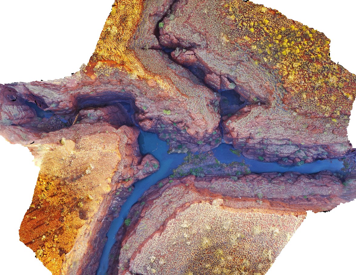
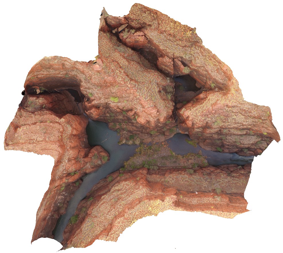
KarijiniUAV2 Map
 |
0 |
05/29/2016 noon |
UAV |
aerial view of confluence of Handcock and Weano gorges. Brockman Iron Formation. Karijini National Park. W.A. |
1000.00 |
-22.36123000000 |
118.28945000000 |
-9999.000 |
Banded Iron Formation, sedimentology, Brockman Iron Formation |
BIF |
EPilbaraFSP7 Map
 |
0 |
06/01/2016 noon |
FSP |
stretched, faulted and sheared amphibolite boudins / segments in granitic gneiss pavement. Woodstock - Rocky Island Road, East Pilbara, W.A. |
1000.00 |
-21.53873000000 |
119.33498000000 |
-9999.000 |
boudinage, amphibolite, structure, shear, fault |
granitic gneiss |
KarijiniUAV1 Map
 |
0 |
05/29/2016 noon |
UAV |
aerial view of confluence of Handcock and Weano gorges. Brockman Iron Formation. Karijini National Park. W.A. |
1000.00 |
-22.36102700000 |
118.28921700000 |
-9999.000 |
gorge, Brockman Iron Formation, banded iron formation, sedimentology |
BIF |
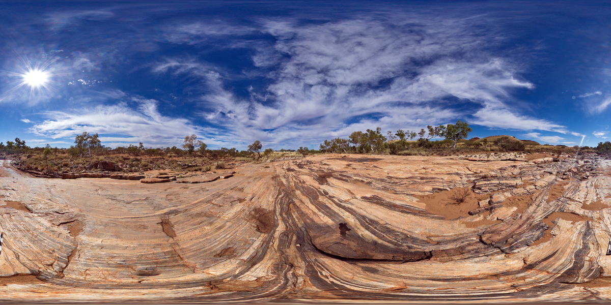
KalbarriFSP6 Map
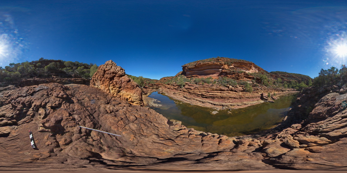 |
0 |
05/20/2016 noon |
FSP |
view along Murchison River Gorge, showing banded cliffs of Tumblagooda Sandstone. Near 'Z bend', Kalbarri National Park. W.A. |
1000.00 |
-27.65978000000 |
114.45676000000 |
-9999.000 |
river gorge, Tumblagooda Sandstone, sedimentology |
sandstone |
KarijiniFSP3 Map
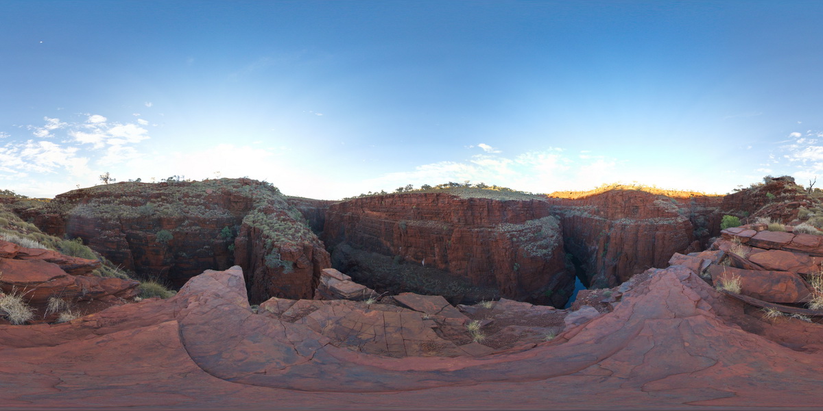 |
0 |
05/29/2016 noon |
FSP |
view from near Oxer Lookout above the confluence of Weano and Handcock gorges, showing stratigraphy of the Brockman Iron Formation, Karijini National Park. W.A. |
1000.00 |
-22.36123000000 |
118.28945000000 |
-9999.000 |
Brockman Iron Formation, banded iron formation, sedimentology |
BIF |
KarijiniFSP4 Map
 |
0 |
05/29/2016 noon |
FSP |
view from near Oxer Lookout above the confluence of Weano and Handcock gorges, showing stratigraphy of the Brockman Iron Formation, Karijini National Park. W.A. |
1000.00 |
-22.36123000000 |
118.28954000000 |
-9999.000 |
Brockman Iron Formation, banded iron formation, sedimentology |
BIF |
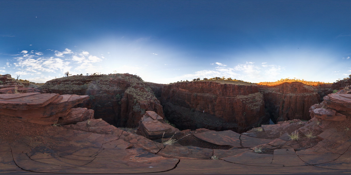
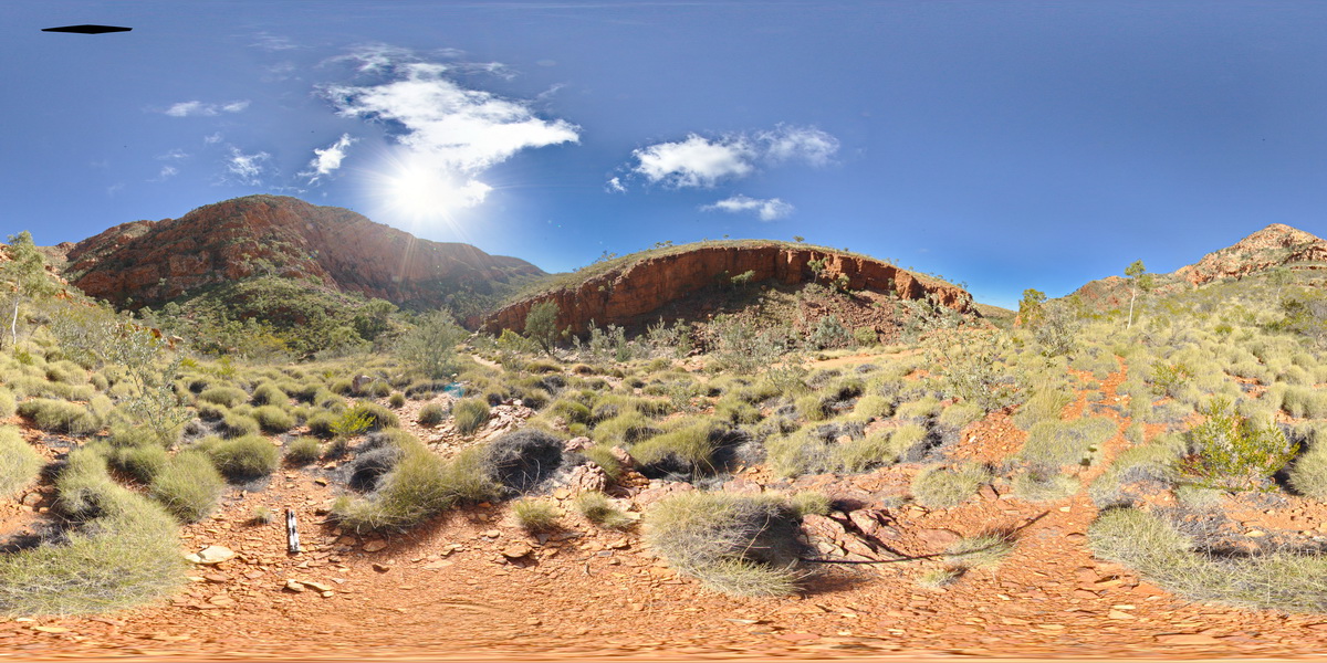
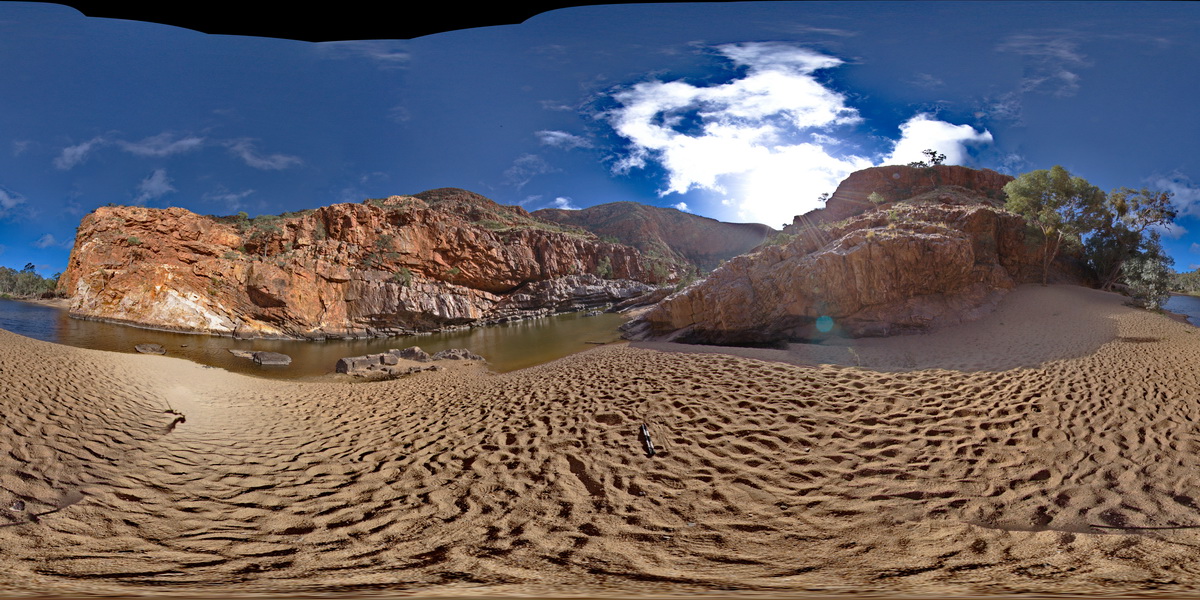
TREPHFSP1 Map
 |
0 |
07/27/2016 4:26 p.m. |
FSP |
view of 'The Bluff', with tight folding. Trephina Gorge, Mordor Pound. N.T. |
1000.00 |
-23.51895600000 |
134.39911100000 |
642.214 |
tight folds, folds, structure, sedimentology, Trephina Gorge |
sandstone |
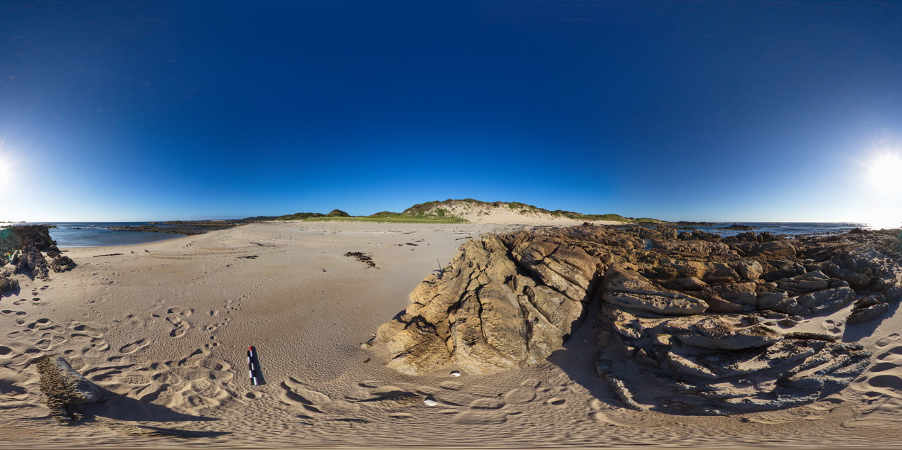
WTasFSP23 Map
 |
5 |
01/01/9999 midnight |
FSP |
moderately dipping calcareous quartzite beds exposed at beach at Granville Harbour, West Tasmania. |
1000.00 |
-41.77887000000 |
145.00580000000 |
-9999.000 |
dip, bedding |
carbonate |
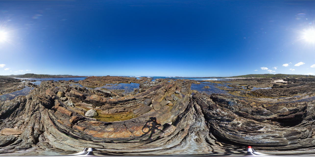
WTasFSP31a Map
 |
5 |
01/01/9999 midnight |
FSP |
view of shallow basin in shallowly dipping, fine-grained, quartz sandstone and siltstone. Duck Creek, West Tasmania. |
1000.00 |
-41.76810000000 |
145.00371000000 |
-9999.000 |
basin, dip, sedimentology, structure |
sandstone |
WilkaFSP4 Map
 |
0 |
09/27/2015 5:21 p.m. |
FSP |
view of diamictite exposure in creek bed, overlain by Bonney Sandstone, overlain by Wilkawillina Limestone. |
1000.00 |
-31.29642000000 |
138.88765000000 |
-9999.000 |
geological contact |
sandstone, limestone |
GoatIslandUAV1 Map
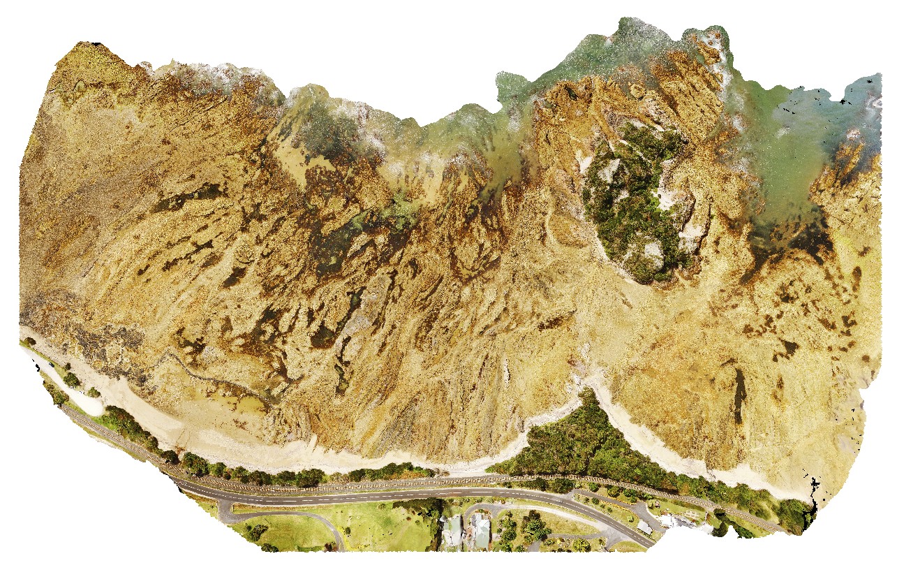 |
50 |
01/01/9999 midnight |
UAV |
aerial over view of folded metamorphic sediments of the Burnie Formation (Oonah Formation) and Ulverstone Metamorphics, which includes the Goat Island Conglomerate. Goat Island, Ulverstone. North Tasmania. |
680.00 |
-41.13575600000 |
146.13587000000 |
55.000 |
metasediments, Burnie Formation, Ulverstone Metamorphics, geological contact |
metasediments, metasediments |
PicnicPtUAV1 Map
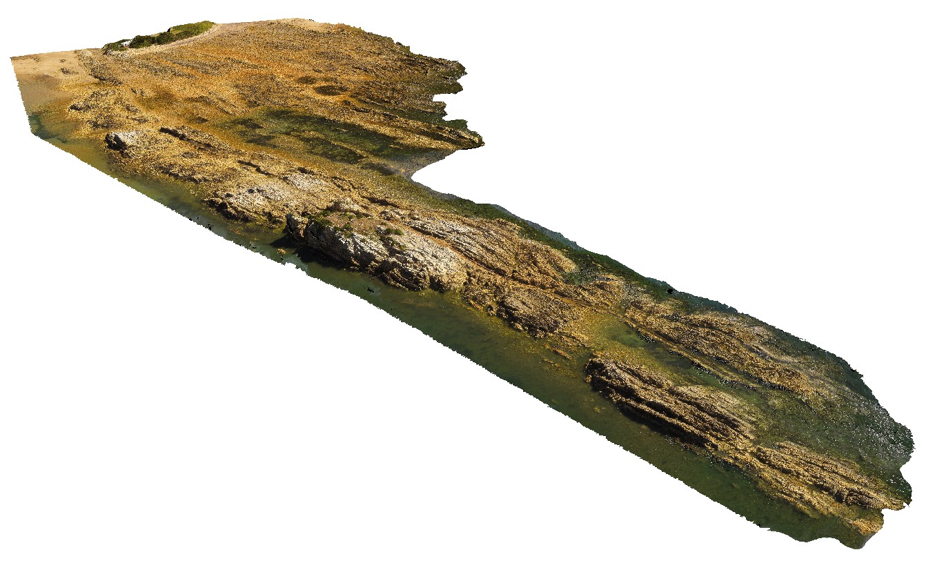 |
20 |
01/01/9999 midnight |
UAV |
aerial view of Ulverstone metamorphics, showing folded bedding traces. Ulverstone Tasmania. |
641.00 |
-41.14010200000 |
146.16233400000 |
2.500 |
metasediments |
metasediments |
LimebayUAV1 Map
 |
20 |
01/01/9999 midnight |
UAV |
overview of Lime Bay volcanic outcrop. Lime Bay, Tas. |
631.00 |
-42.94194700000 |
147.69510100000 |
70.000 |
Tertiary Basalt, volcanics, basalts |
basalt |
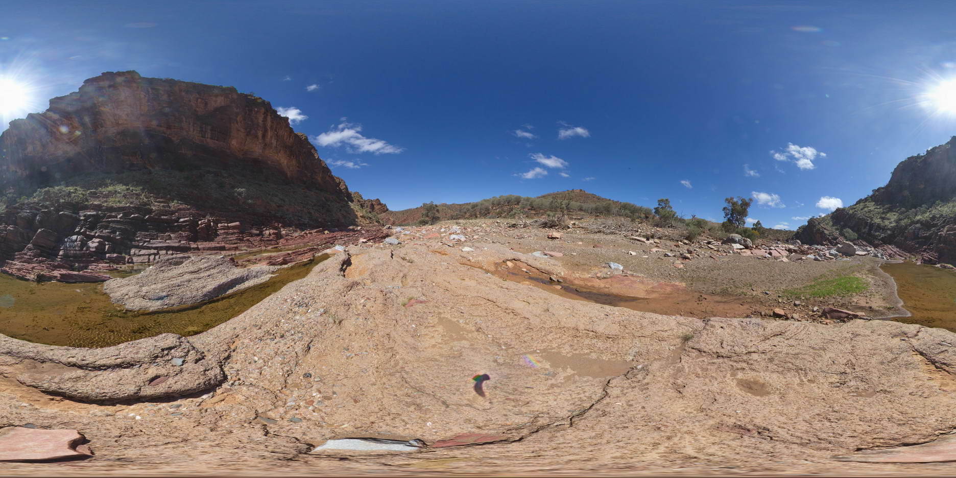
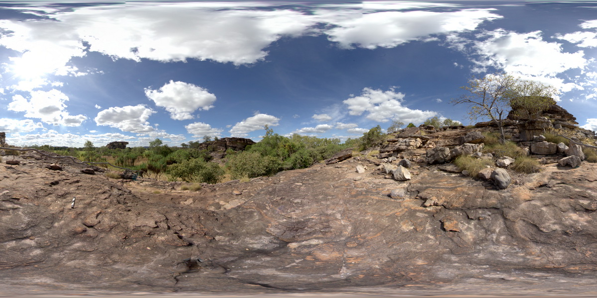
KakaduFSP7 Map
 |
0 |
06/25/2016 noon |
FSP |
view of sandstone escarpment in background and conglomerate (as in site Kakadu5) in foreground. . Nourlangie Rock Art Site. Kakadu National Park, N.T. |
500.00 |
-12.86476000000 |
132.81610000000 |
-9999.000 |
conglomerate, sedimentology, sandstone |
sandstone |
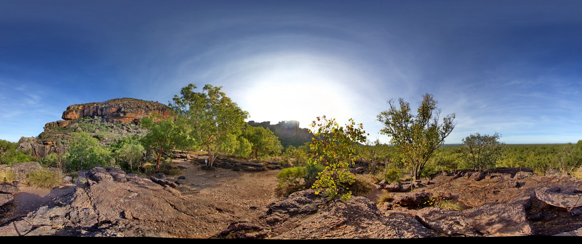
KakaduFSP1 Map
 |
0 |
06/25/2016 noon |
FSP |
pebbly sandstone in the foreground, surrounded by stacks of shallow dipping sandstone (locally with rock art) in the background. Ubirr Art Site. Kakadu National Park, N.T. |
500.00 |
-12.40792000000 |
132.95520000000 |
-9999.000 |
sandstone, dip, sedimentology, Kakadu National Park |
sandstone |
KakaduFPS6 Map
 |
0 |
06/25/2016 noon |
FSP |
view of sandstone escarpment and cross bedding in sandstone at Bardedjilidji Walk. Kakadu National Park, N.T. |
500.00 |
-12.43680000000 |
132.97054000000 |
-9999.000 |
sandstone, cross bedding, Kakadu National Park |
sandstone |
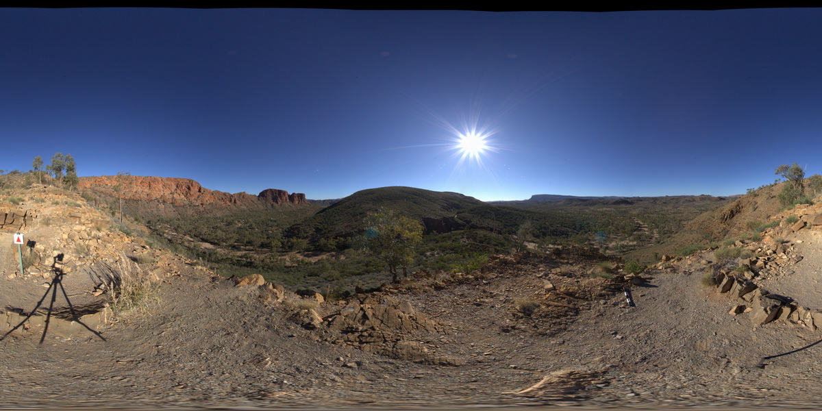
ORMGFSP5 Map
 |
5 |
08/02/2016 10:41 a.m. |
FSP |
panorama view of stacked thrust faults in quartzite beds. Ormiston Gorge, N.T. |
500.00 |
-23.62586200000 |
132.72835300000 |
687.528 |
thrust fault, stacked thrusts, fault, quartzite, structure |
quartzite |
PricesFSP1 Map
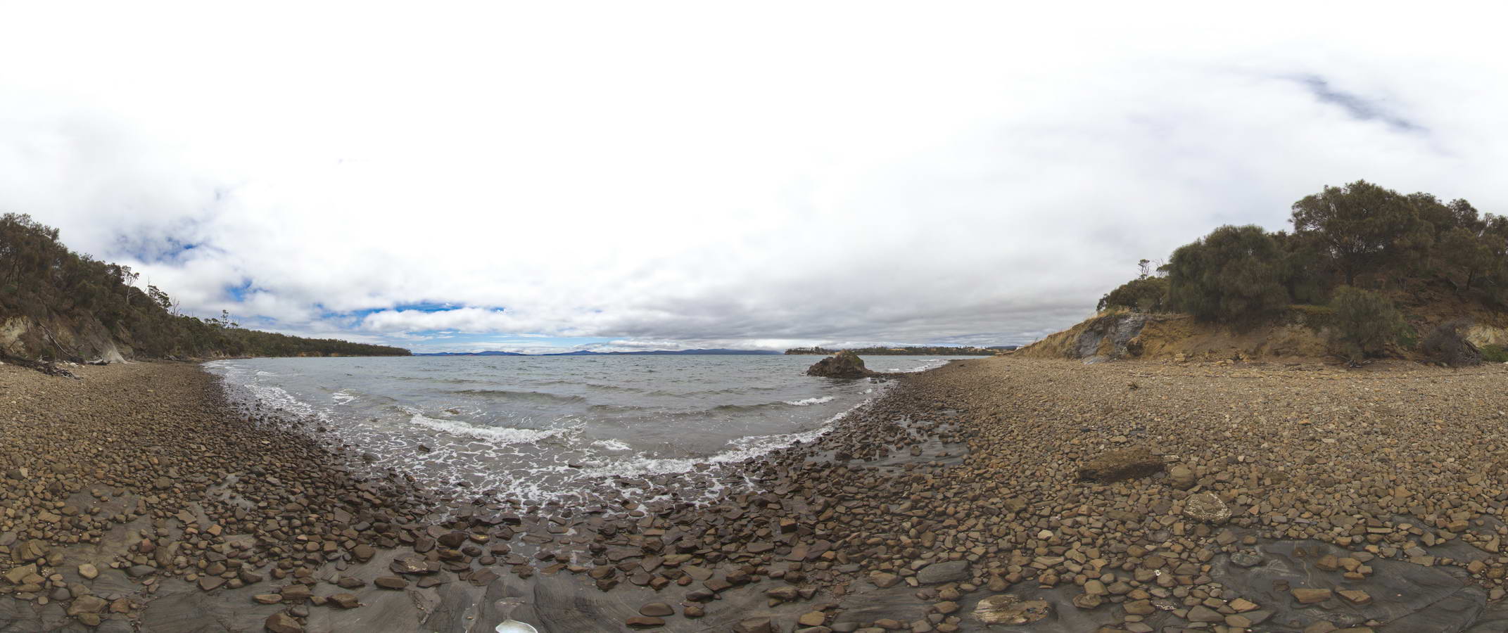 |
20 |
01/01/9999 midnight |
FSP |
view along beach, showing Triassic rocks in cliff and dolerite outcrop in water. Prices Point, Tasman Peninsula, Tasmania. |
500.00 |
-43.03506500000 |
147.74806700000 |
0.500 |
Triassic rocks in cliff, Jurassic dolerite |
siltstone, dolerite |
PricesFSP3 Map
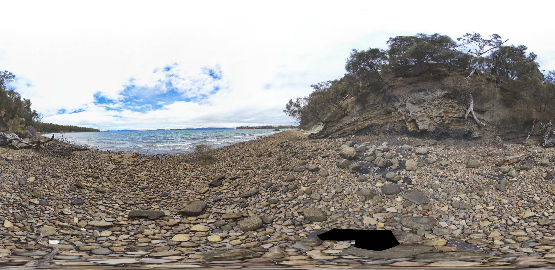 |
20 |
01/01/9999 midnight |
FSP |
Normal faults disrupting Triassic sandstone and carbonaceous siltstone layers. Prices Point, Tasman Peninsula, Tasmania. |
500.00 |
-43.03491300000 |
147.74760800000 |
0.500 |
normal fault, fault, Triassic, sedimentology |
siltstone |
ORMGFSP4 Map
 |
5 |
08/02/2016 9:47 a.m. |
FSP |
Stacked thrusts in quartzite on SW face of gorge. Faulting has offset quartz veins. Ormiston Gorge, N.T. |
500.00 |
-23.62811000000 |
132.72731000000 |
651.970 |
thrust, fault, structure, quartzite |
quartzite |
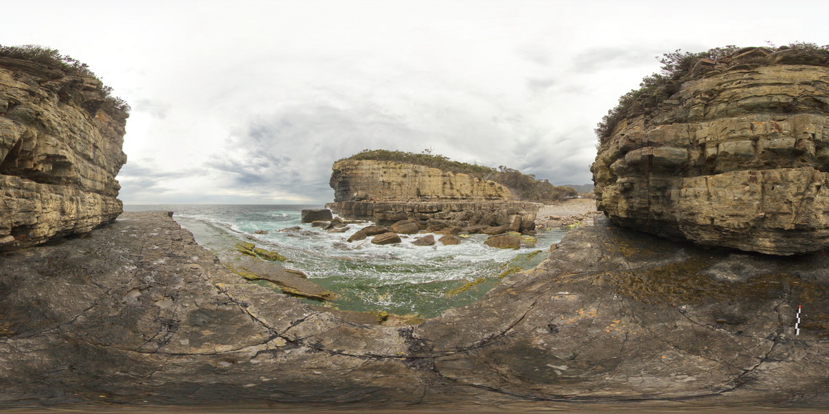
EaglehawkFSP4 Map
 |
5 |
01/01/9999 midnight |
FSP |
view from sea level platform of Permian pavement and layered buttress (Fossil Island). Eaglehawk Neck, Tasmania. |
500.00 |
-43.03394000000 |
147.94908000000 |
-9999.000 |
Fossil Island, fossiliferous |
siltstone |
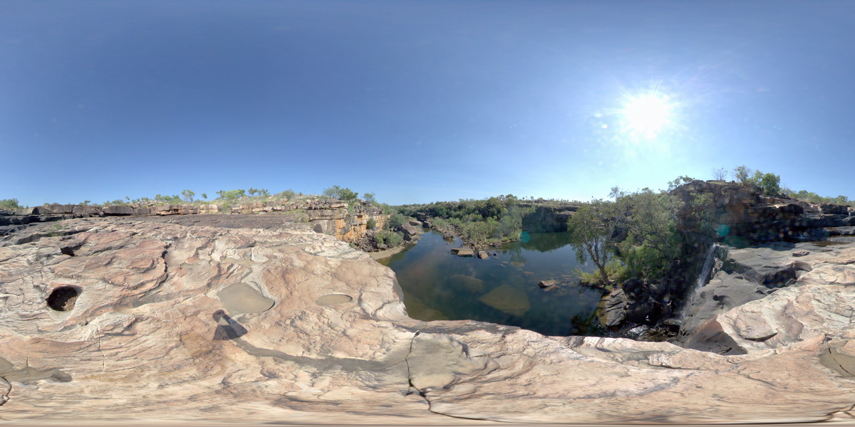
MitchellFSP3 Map
 |
0 |
06/08/2016 noon |
FSP |
view looking downstream from Mitchell Falls, Mitchell River, Kimberley. W.A. |
500.00 |
-14.67411000000 |
125.73240000000 |
-9999.000 |
bedding, sandstone, Mitchell Falls |
sandstone |