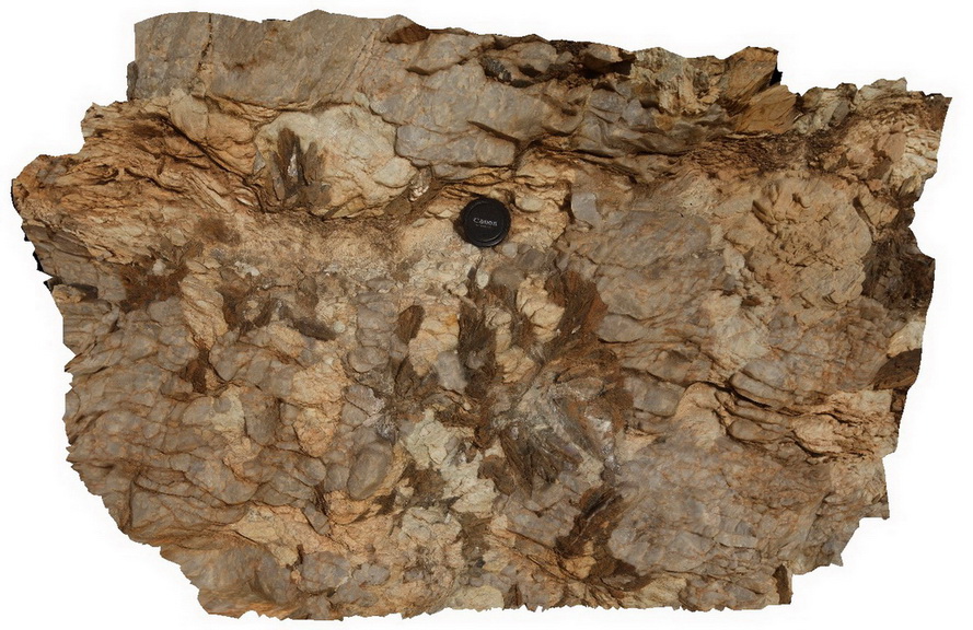
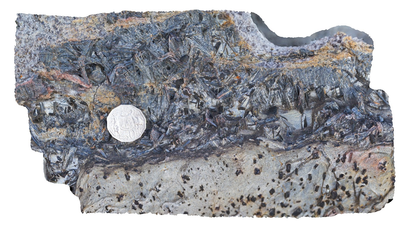
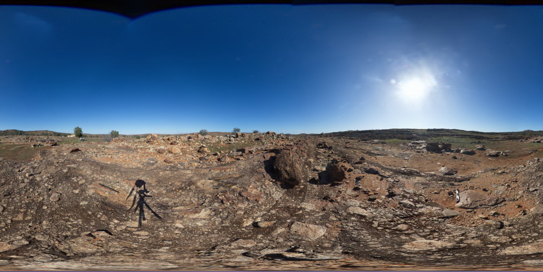
Olary56 Map
 |
0 |
09/27/2015 6:29 p.m. |
3D |
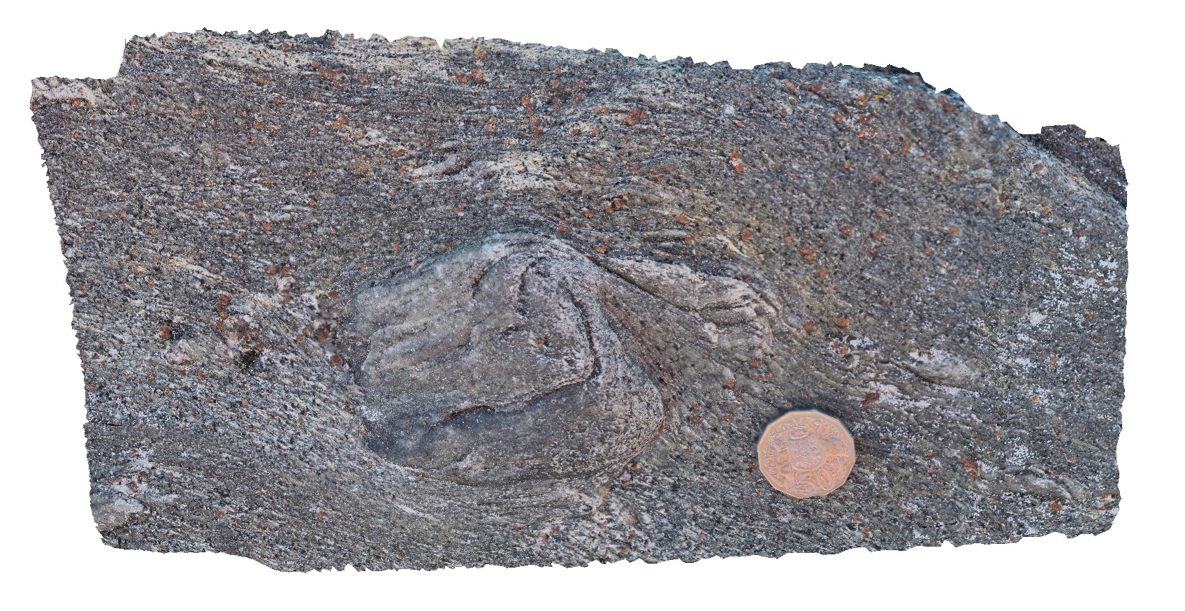
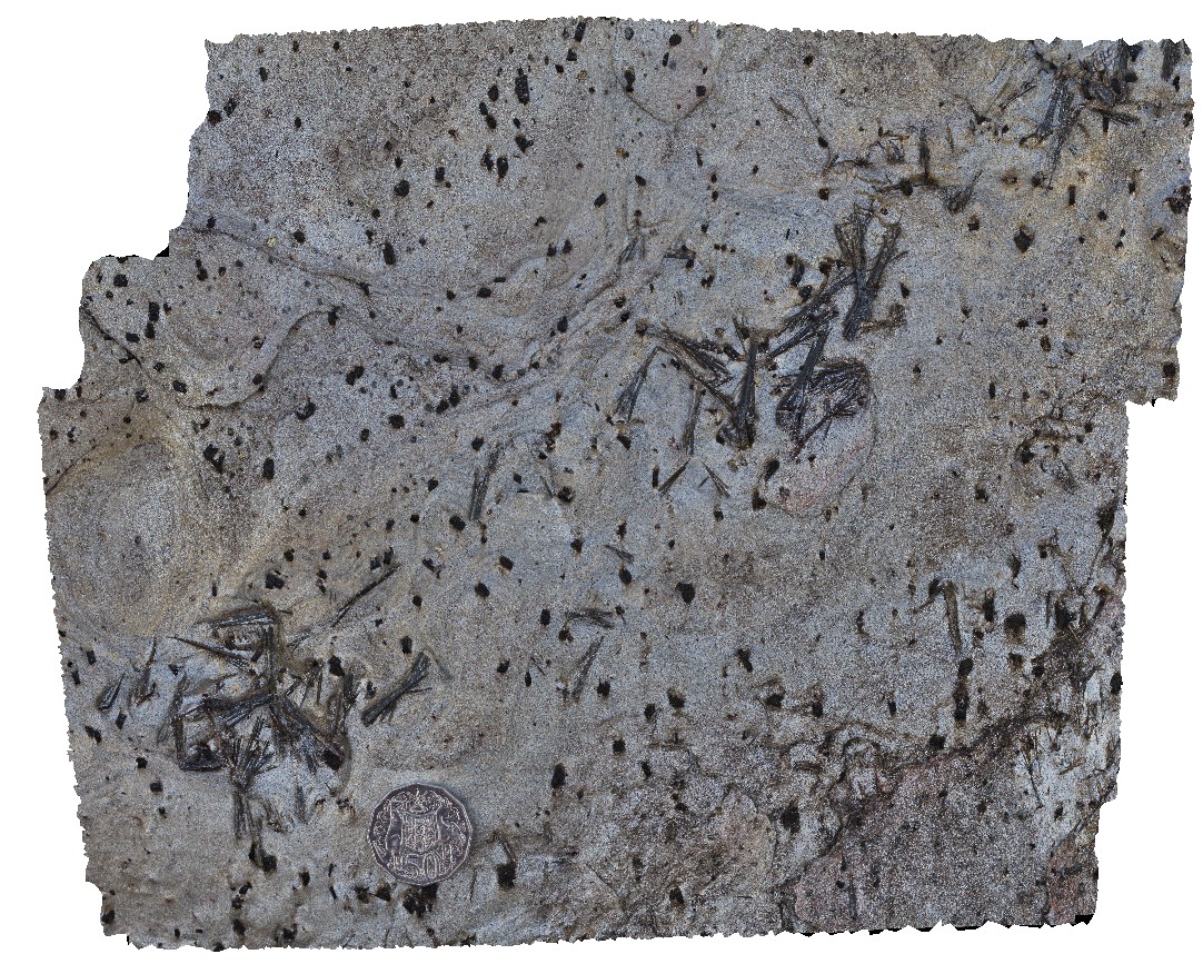
large radiating aggregates of muscovite in pegmatite or quartz lode. N/E of Cathedral Rock. Olary, S.A. |
1.00 |
-32.08189000000 |
140.32874000000 |
-9999.000 |
muscovite, pegmatite |
pegmatite |
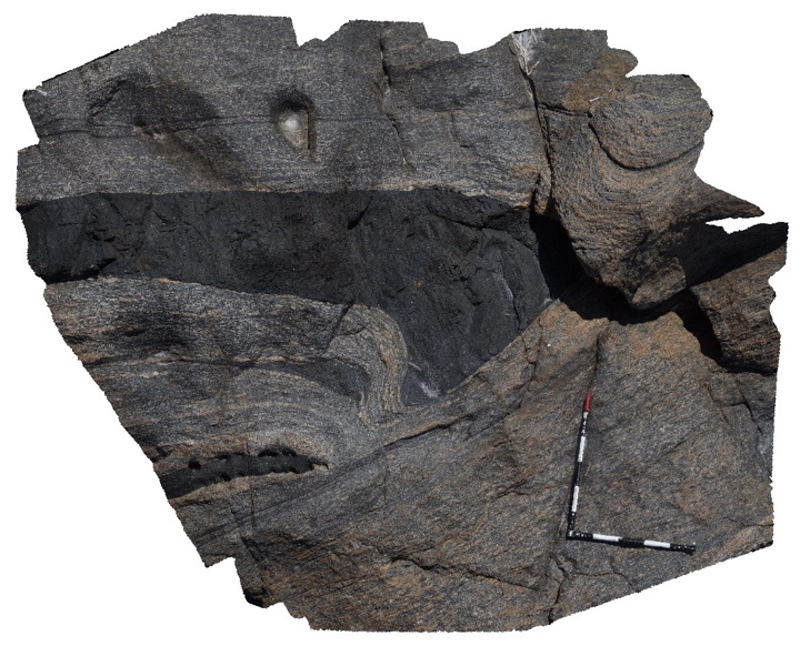
PtNeill2 Map
 |
0 |
10/20/2015 3:14 p.m. |
3D |
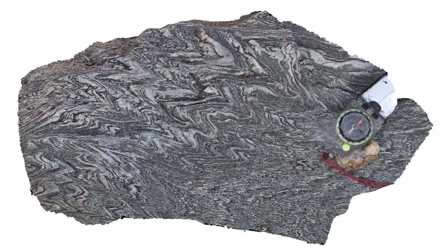
detail of sheared dyke contact within mylonite in photo PtNeill1. |
3.00 |
-34.10674000000 |
136.35034000000 |
-9999.000 |
mylonite |
mylonite |
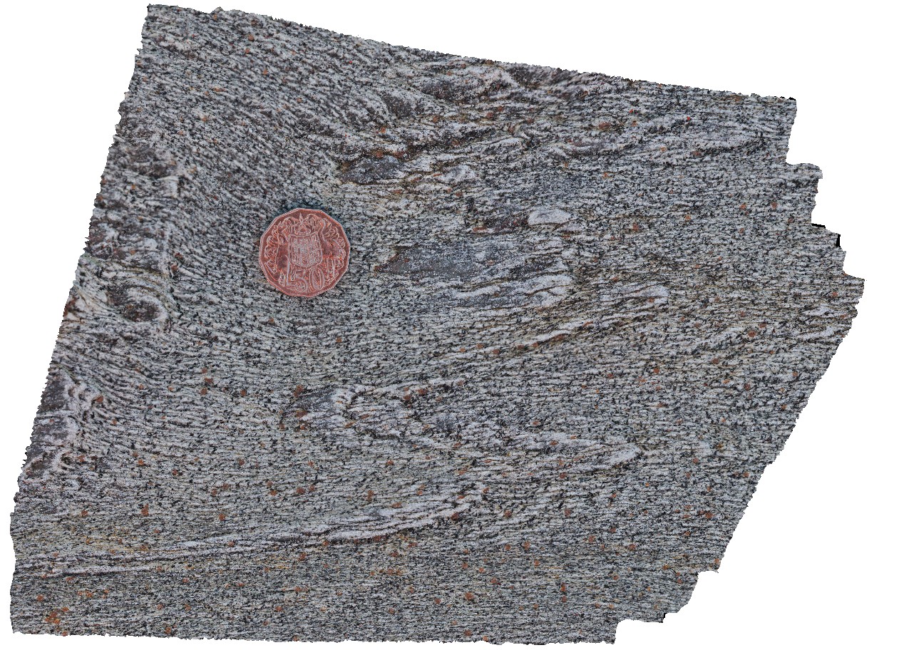
Olary58 Map
 |
0 |
09/27/2015 6:30 p.m. |
3D |
detail of foliated Basso Granite at Site Olary57, showing foliation defined by biotite and muscovite. Olary, S.A. |
0.60 |
-32.11535000000 |
140.31554000000 |
-9999.000 |
mineral foliation, metagranite |
metagranite |
WestBeach3 Map
 |
0 |
06/05/2016 10:50 a.m. |
3D |
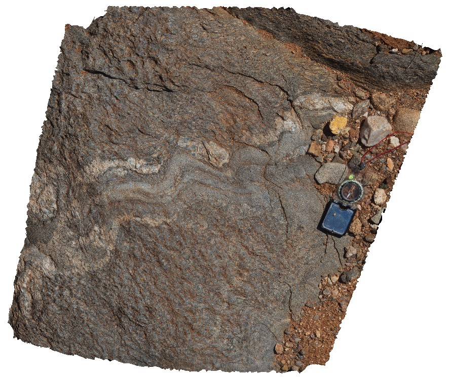
detailed view of 'M' folding in garnet schist from site WestBeach1. West Beach, W.A. |
0.30 |
-33.95340000000 |
119.97511000000 |
-9999.000 |
M fold geometry, folding, structure |
garnet schist |
WestBeach7 Map
 |
0 |
06/05/2016 10:49 a.m. |
3D |
aggregates of black kyanite crystals in band of schist. West Beach, W.A. |
0.20 |
-33.95360000000 |
119.97449000000 |
-9999.000 |
kyanite, schist, metamorphic |
schist |
NambuccaGiga1 Map
 |
0 |
01/01/9999 midnight |
GIGA |
Nambucca, N.S.W. |
0.00 |
-30.64660000000 |
153.01932000000 |
-9999.000 |
|
|
NambuccaGiga2 Map
 |
0 |
01/01/9999 midnight |
GIGA |
Nambucca, N.S.W. |
0.00 |
-30.64857000000 |
153.01886000000 |
-9999.000 |
|
|
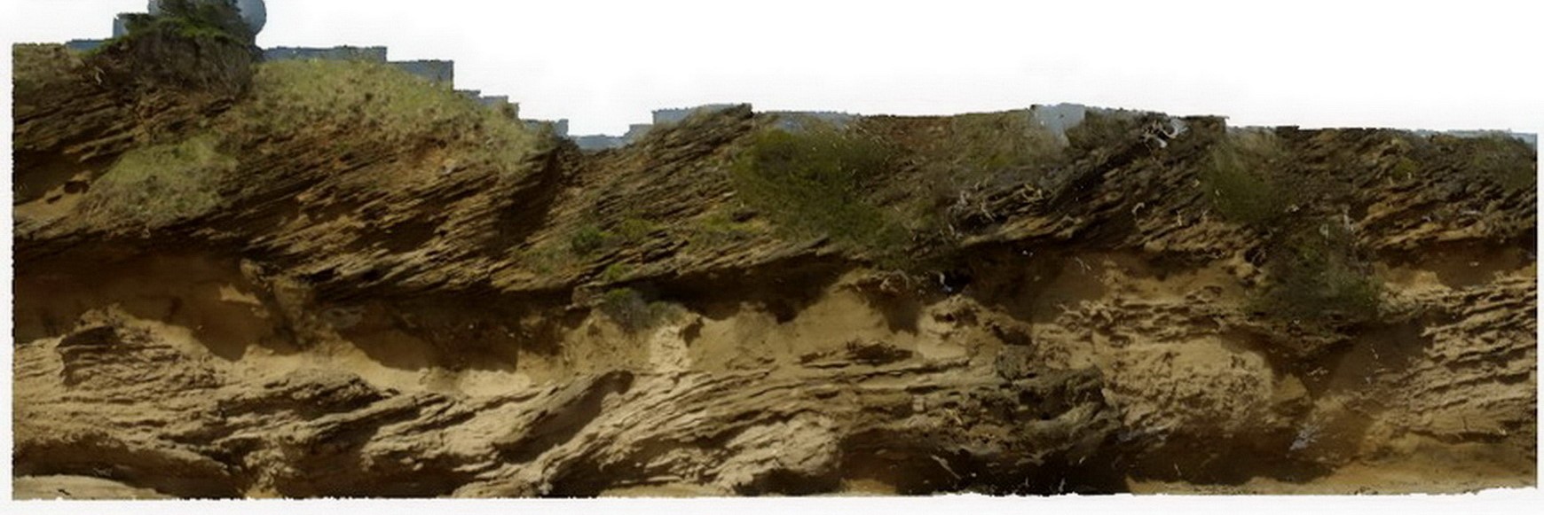
Liptrap4 Map
 |
0 |
03/13/2015 9:21 a.m. |
3D |
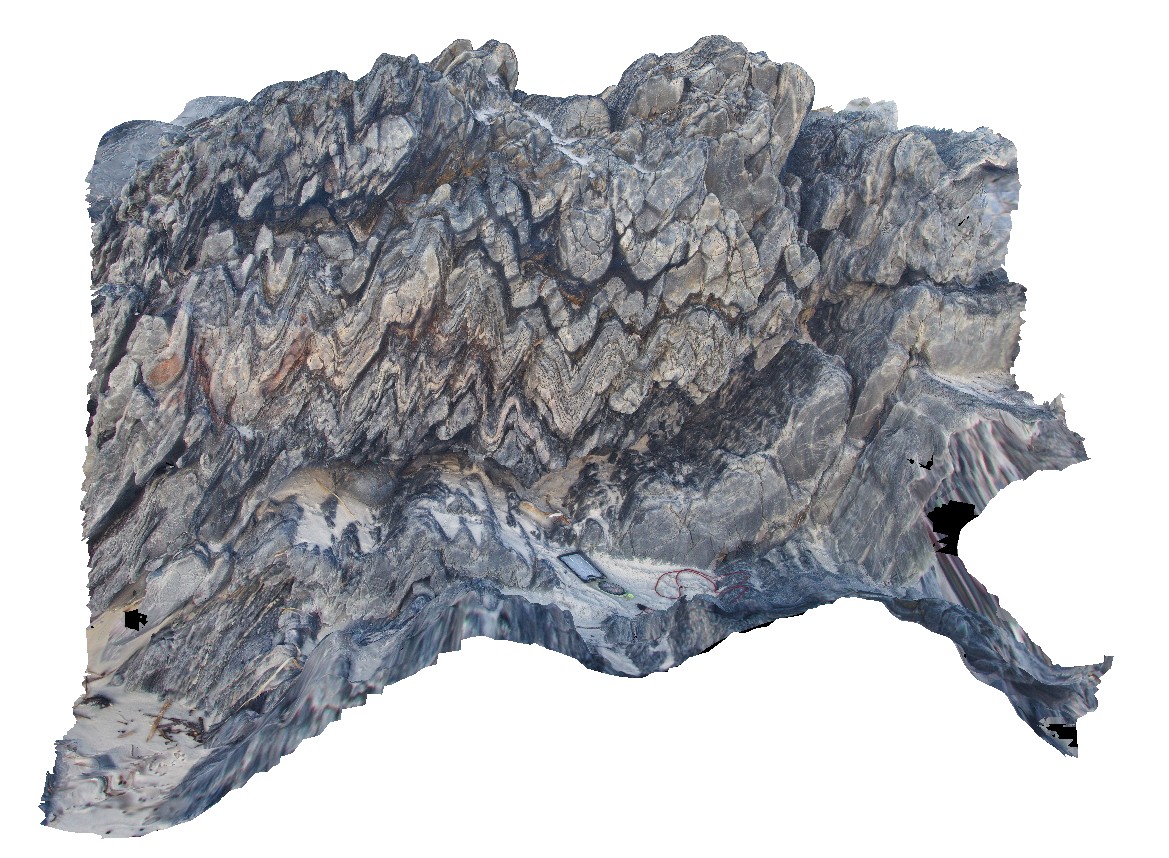
open to closed folding of sandstone and siltstone layers in distal turbidites. Cape Liptrap, Vic. |
6.00 |
-38.90403052000 |
145.91719914000 |
-9999.000 |
turbidite, sedimentology, fold |
turbidite |
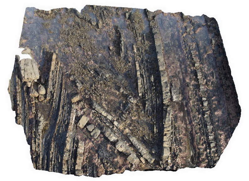
MtGipps42 Map
 |
0 |
06/30/2016 noon |
3D |
metasediments, Mount Gipps, N.S.W. |
2.00 |
-31.61704000000 |
141.50061000000 |
-9999.000 |
metasediments |
metasediments |
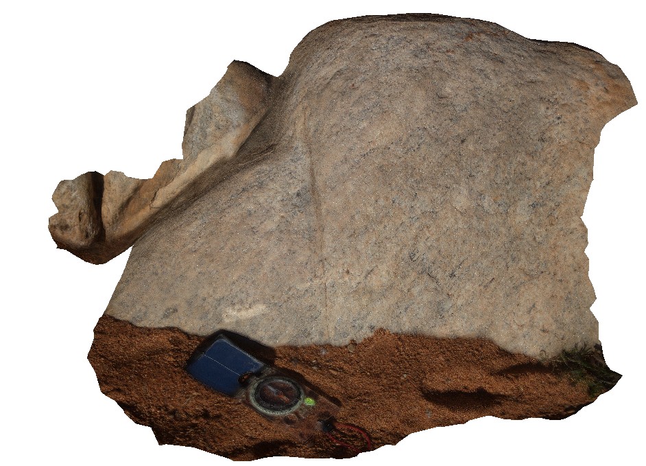
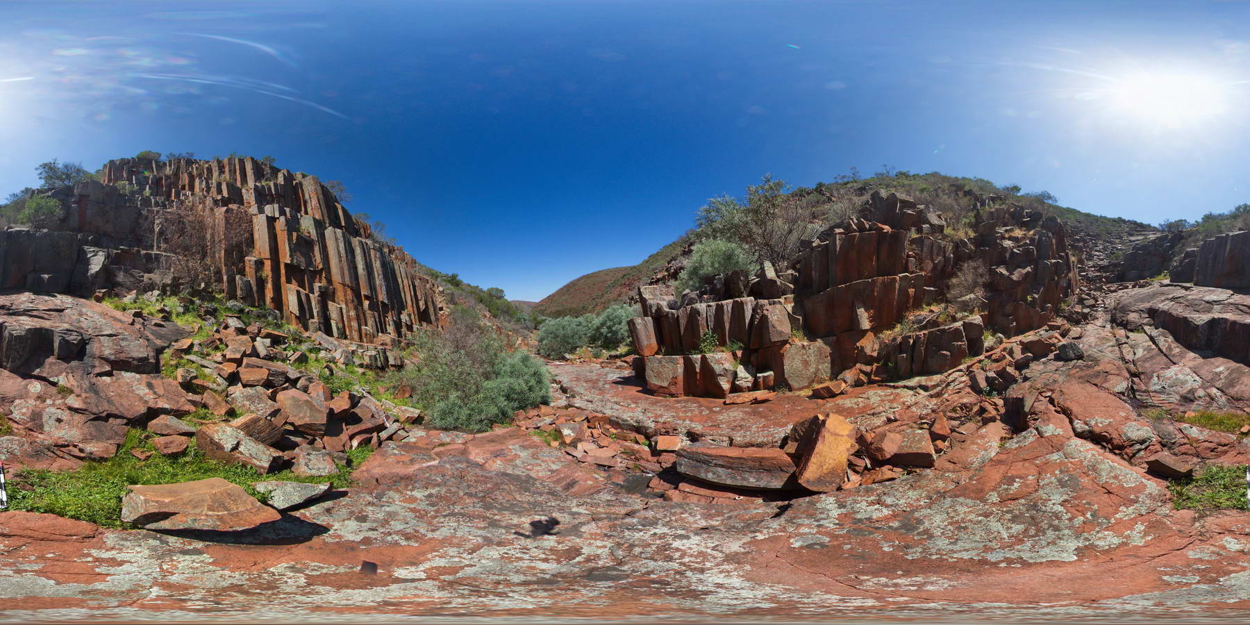
GawlerFSP5 Map
 |
0 |
01/26/2016 3:43 p.m. |
FSP |
columnar dacite walls of 'Organ pipe' Gorge, Gawler Ranges. |
100.00 |
-32.53904000000 |
135.29643000000 |
-9999.000 |
columnar, dacite, joint |
dacite |
LordHowe7 Map
 |
0 |
03/16/2015 2:52 p.m. |
3D |
cross bedding in calcareous sands, showing high-angle beds truncated by flat overlying layers. Lord Howe Island. |
5.00 |
-31.54798706000 |
159.07471865000 |
-9999.000 |
sedimentology, cross bedding |
sand |
WestBeach4 Map
 |
0 |
06/05/2016 10:34 a.m. |
3D |
close-up view of fold in garnet-bearing schist, West Beach. W.A. |
0.30 |
-33.95349000000 |
119.97489000000 |
-9999.000 |
fold, structure |
garnet schist |
WestBeach6 Map
 |
0 |
06/05/2016 10:42 a.m. |
3D |
steeply plunging, tight to open folds in finely laminated schist. West Beach, W.A. |
0.50 |
-33.95350000000 |
119.97487000000 |
-9999.000 |
folding, schist, structure |
schist |
OlaryFSP2 Map
 |
0 |
07/14/2015 11:38 a.m. |
FSP |
view of diamictite pavement and surrounding bedding, showing matrix supported sub-angular clasts. Old Booloomata road, Olary. SA. |
1000.00 |
-32.09570000000 |
140.27966000000 |
-9999.000 |
diamictite |
diamictite |
OlaryFSP3 Map
 |
0 |
07/14/2015 11:38 a.m. |
FSP |
view of diamictite pavement and surrounding bedding, showing matrix supported sub-angular clasts. Old Booloomata road, Olary. SA. |
1000.00 |
-32.09550000000 |
140.27975000000 |
-9999.000 |
diamictite |
diamictite |
OlaryFSP6 Map
 |
0 |
07/14/2015 11:39 a.m. |
FSP |
view along of diamictite bedding, showing matrix supported sub-angular clasts. Old Booloomata road, Olary. SA. |
1000.00 |
-32.09576000000 |
140.27934000000 |
-9999.000 |
diamictite, matrix supported |
diamictite |
WestBeach5 Map
 |
0 |
06/05/2016 10:50 a.m. |
3D |
'M' folding in garnet schist, West Beach, W.A. |
0.00 |
-33.95352000000 |
119.97489000000 |
-9999.000 |
M folds, structure, garnet schist |
garnet schist |
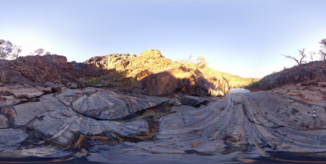
OlaryFSP7 Map
 |
0 |
07/14/2015 11:39 a.m. |
FSP |
3D view of steeply dipping and folded metasediments within creek bed and creek sides. Weekaroo, Orlay. S.A. |
200.00 |
-32.17091000000 |
139.98482000000 |
-9999.000 |
dip, structure, fold, metasediment |
pelite |
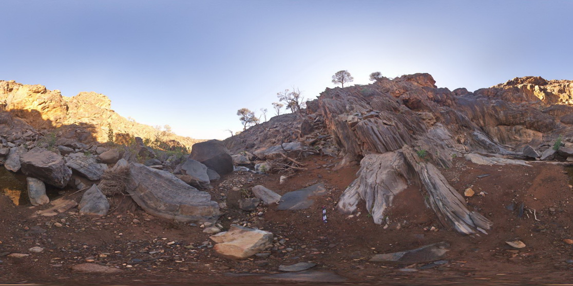
OlaryFSP8 Map
 |
0 |
07/14/2015 11:39 a.m. |
FSP |
3D view of steeply dipping and folded metasediments, including reclined folding at the base of a waterfall. Weekaroo. Olary, S.A. |
100.00 |
-32.17093000000 |
139.98509000000 |
-9999.000 |
reclined fold, structure, metamorphic |
pelite |
WestBeach9 Map
 |
0 |
06/05/2016 10:51 a.m. |
3D |
radiating kyanite aggregates on schistosity surface. West Beach, W.A. |
0.30 |
-33.95360000000 |
119.97449000000 |
-9999.000 |
kyanite aggregates, schist |
kyanite schist |
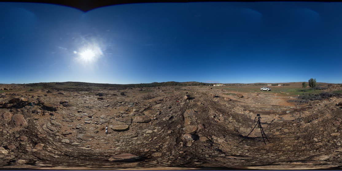
BHillFSP1 Map
 |
0 |
10/19/2015 9:02 a.m. |
FSP |
overview of outcropping Sundown Group Metasediments and distant hills. Broken Hill. N.S.W. |
3000.00 |
-31.83332000000 |
141.42719000000 |
-9999.000 |
Sundown Metasediments. |
metasediment |
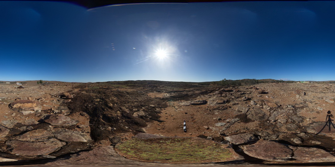
BHillFSP3 Map
 |
0 |
10/19/2015 9:16 a.m. |
FSP |
overview of outcropping, folded and graded? / bedded Sundown Group Metasediments and distant hills. Broken Hill. N.S.W. |
3000.00 |
-31.83345000000 |
141.42760000000 |
-9999.000 |
metasediments, Sundown Group |
metasediment |
BHillFSP4 Map
 |
0 |
10/19/2015 9:19 a.m. |
FSP |
overview of outcropping and graded? / bedded Sundown Group Metasediments and distant hills. Broken Hill. N.S.W. |
3000.00 |
-31.83373000000 |
141.42775000000 |
-9999.000 |
Sundown Group, metasediments |
metasediment |
Trigelow1 Map
 |
0 |
06/05/2016 10:47 a.m. |
3D |
gently plunging, open folds in psammite / quartzite, Point Ann, W.A. |
1.50 |
-34.19865000000 |
119.55386000000 |
-9999.000 |
gently plunging fold, open fold, metasediments, structure |
quartzite |
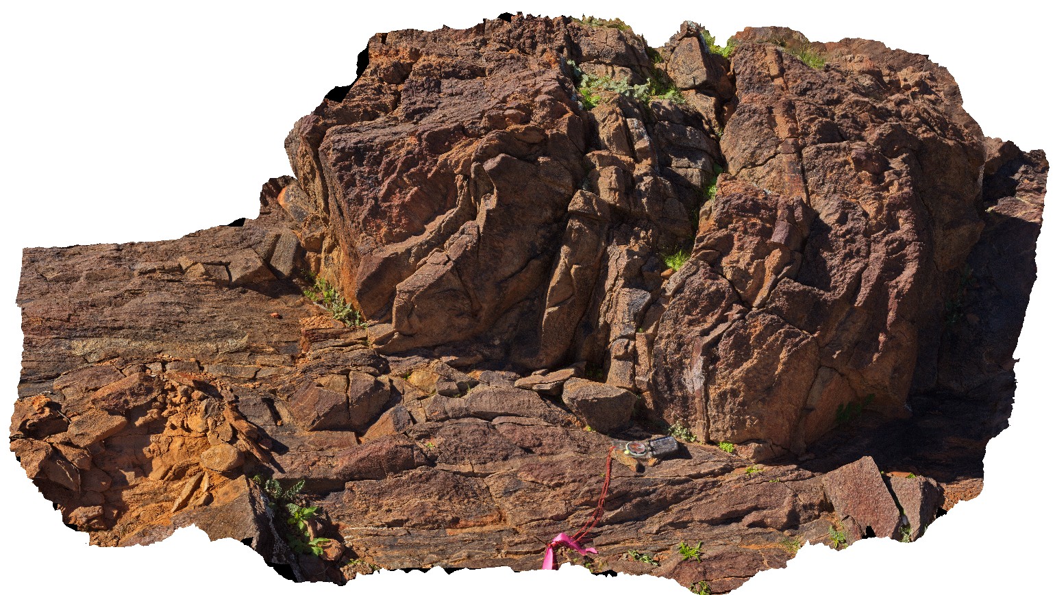
Olary67 Map
 |
0 |
09/27/2015 6:35 p.m. |
3D |
refolded isoclinal fold in psammite layer with pelitic metasediments. Early leucosome have also been refolded. Olary, S.A. |
0.70 |
-32.11371000000 |
140.30025000000 |
-9999.000 |
refolded fold, isoclinal fold, leucosome, structure, deformation |
psammite |