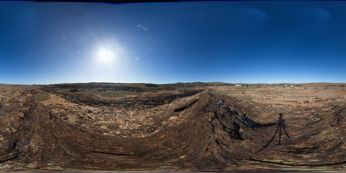
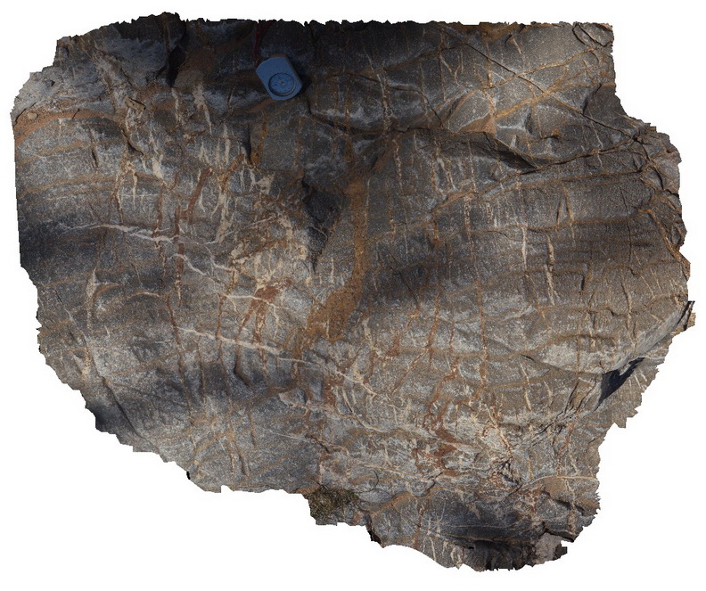
Liptrap4 Map
 |
0 |
03/13/2015 9:21 a.m. |
3D |
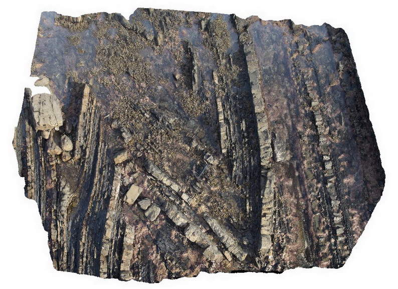
open to closed folding of sandstone and siltstone layers in distal turbidites. Cape Liptrap, Vic. |
6.00 |
-38.90403052000 |
145.91719914000 |
-9999.000 |
turbidite, sedimentology, fold |
turbidite |
GawlerFSP5 Map
 |
0 |
01/26/2016 3:43 p.m. |
FSP |
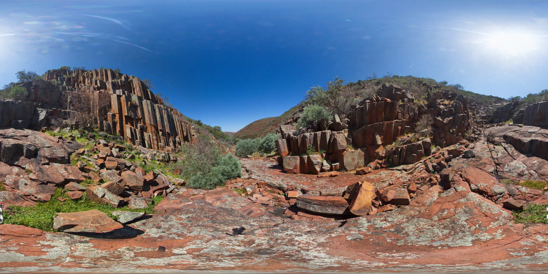
columnar dacite walls of 'Organ pipe' Gorge, Gawler Ranges. |
100.00 |
-32.53904000000 |
135.29643000000 |
-9999.000 |
columnar, dacite, joint |
dacite |
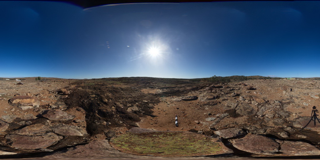
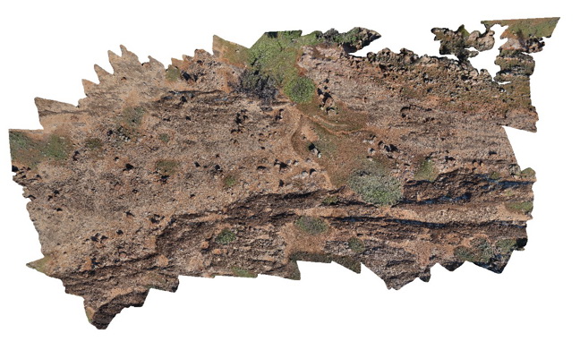
Weetootla24 Map
 |
0 |
09/27/2015 4:27 p.m. |
3D |
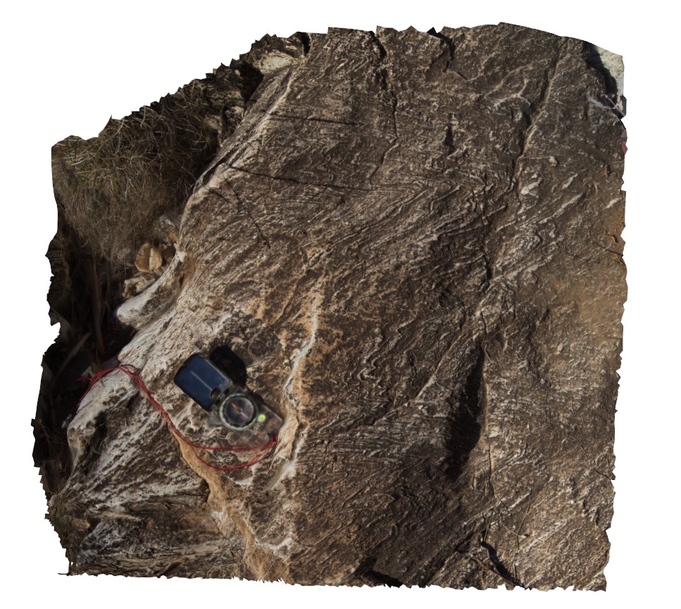
small scale folding in finely banded carbonate. Weetootla Creek. |
0.40 |
-30.47748000000 |
139.24298000000 |
-9999.000 |
fold, structure |
carbonate |
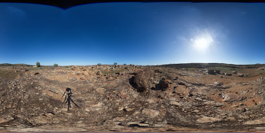
Pedder3 Map
 |
0 |
04/29/2016 11:50 a.m. |
3D |
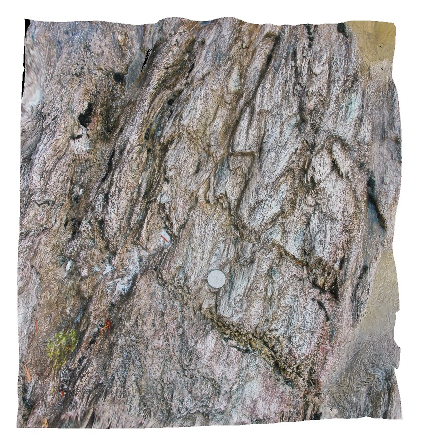
gently plunging, multiple parasitic fold hinges. Lake Pedder, south west Tasmania. |
0.70 |
-42.84856842000 |
146.11586429000 |
-9999.000 |
parasitic fold hinge, fold plunge, fold, structure |
quartzite |
OlaryFSP2 Map
 |
0 |
07/14/2015 11:38 a.m. |
FSP |
view of diamictite pavement and surrounding bedding, showing matrix supported sub-angular clasts. Old Booloomata road, Olary. SA. |
1000.00 |
-32.09570000000 |
140.27966000000 |
-9999.000 |
diamictite |
diamictite |
OlaryFSP3 Map
 |
0 |
07/14/2015 11:38 a.m. |
FSP |
view of diamictite pavement and surrounding bedding, showing matrix supported sub-angular clasts. Old Booloomata road, Olary. SA. |
1000.00 |
-32.09550000000 |
140.27975000000 |
-9999.000 |
diamictite |
diamictite |
OlaryFSP5 Map
 |
0 |
07/14/2015 11:39 a.m. |
FSP |
view of diamictite pavement and surrounding bedding, showing matrix supported sub-angular clasts. Old Booloomata road, Olary. SA. |
1000.00 |
-32.09554000000 |
140.27914000000 |
-9999.000 |
diamictite |
diamictite |
OlaryFSP6 Map
 |
0 |
07/14/2015 11:39 a.m. |
FSP |
view along of diamictite bedding, showing matrix supported sub-angular clasts. Old Booloomata road, Olary. SA. |
1000.00 |
-32.09576000000 |
140.27934000000 |
-9999.000 |
diamictite, matrix supported |
diamictite |
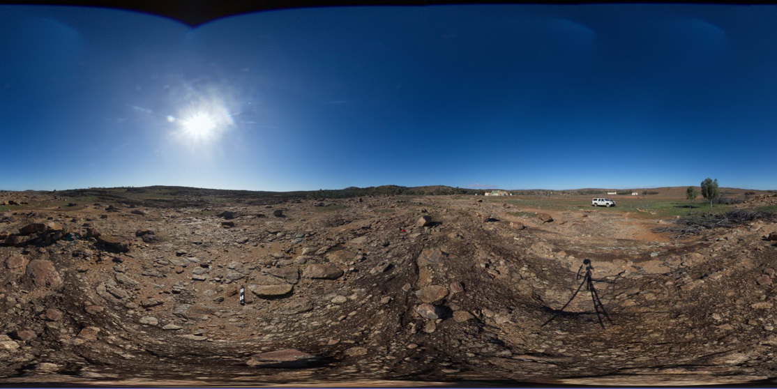
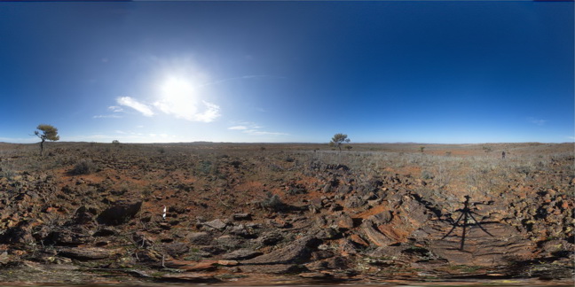
OlaryPole1 Map
 |
0 |
11/03/2015 1:24 p.m. |
3D |
view form pole of conglomerate / diamictite and interbedded sediment package, showing bedding horizons. Near Old Boolcoomata Homestead. Olary, S.A. |
10.00 |
-32.09571000000 |
140.27974000000 |
305.000 |
diamictite |
diamictite |
MallacootaGiga1 Map
 |
0 |
05/18/2015 2:01 p.m. |
GIGA |
location inferred from nearby images. Mallacoota, Vic. |
0.00 |
-37.57225000000 |
149.76472000000 |
-9999.000 |
|
|
BHillFSP2 Map
 |
0 |
10/19/2015 9:12 a.m. |
FSP |
overview of outcropping folded Sundown Group Metasediments and distant hills. Broken Hill. N.S.W. |
3000.00 |
-31.83338000000 |
141.42760000000 |
-9999.000 |
Sundown Metasediments., fold |
metasediments |
BHillFSP3 Map
 |
0 |
10/19/2015 9:16 a.m. |
FSP |
overview of outcropping, folded and graded? / bedded Sundown Group Metasediments and distant hills. Broken Hill. N.S.W. |
3000.00 |
-31.83345000000 |
141.42760000000 |
-9999.000 |
metasediments, Sundown Group |
metasediment |
BHillFSP6 Map
 |
0 |
10/19/2015 9:39 a.m. |
FSP |
overview of outcropping folded and crenulated Sundown Group Metasediments and distant hills. Broken Hill. N.S.W. |
3000.00 |
-31.83335000000 |
141.42799000000 |
-9999.000 |
Sundown Group, crenulation cleavage |
metasediment |
BHillFSP7 Map
 |
0 |
10/19/2015 9:43 a.m. |
FSP |
overview of outcropping folded Sundown Group Metasediments and distant hills. Broken Hill. N.S.W. |
3000.00 |
-31.83292000000 |
141.42769000000 |
-9999.000 |
Sundown Group, metasediments, fold |
metasediments |
BHillFSP9 Map
 |
0 |
10/19/2015 9:51 a.m. |
FSP |
overview of outcropping folded and bedded / graded Sundown Group Metasediments and distant hills. Broken Hill. N.S.W. |
3000.00 |
-31.83300000000 |
141.42867000000 |
-9999.000 |
Sundown Group, metasediments, fold, bedded |
metasediment |
BHillFSP10 Map
 |
0 |
10/19/2015 9:55 a.m. |
FSP |
overview of outcropping folded and bedded / graded Sundown Group Metasediments and distant hills. Broken Hill. N.S.W. |
3000.00 |
-31.83354000000 |
141.42888000000 |
-9999.000 |
Sundown Group, metasediments |
metasediments |
BHillFSP14 Map
 |
0 |
10/19/2015 10:47 a.m. |
FSP |
road cutting rock exposure, showing folded banded gneiss. Broken Hill. N.S.W. |
200.00 |
-32.00615000000 |
141.29013000000 |
-9999.000 |
fold, gneiss |
gneiss |
BHillFSP15 Map
 |
0 |
10/19/2015 10:51 a.m. |
FSP |
road cutting, showing steeply plunging?, tight parasitic folds in banded gneiss. Broken Hill. N.S.W. |
200.00 |
-32.00617000000 |
141.29002000000 |
-9999.000 |
parasitic fold, structure |
gneiss |
BHillFSP17 Map
 |
0 |
10/19/2015 10:59 a.m. |
FSP |
road cutting through Rasp Ridge Granite Gneiss, showing small scale folding in fine banding and joint surfaces. Broken Hill. N.S.W. |
200.00 |
-32.00624000000 |
141.28984000000 |
-9999.000 |
fold, joint surface |
gneiss |
BHillFSP18 Map
 |
0 |
10/19/2015 11:02 a.m. |
FSP |
road cutting, showing fracture surfaces in gneiss. Broken Hill. N.S.W. |
200.00 |
-32.00624000000 |
141.28973000000 |
-9999.000 |
gneiss, fracture surface |
gneiss |
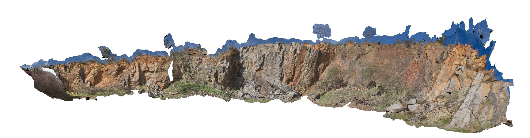
BHillGiga1 Map
 |
0 |
07/14/2015 12:24 p.m. |
GIGA |
Browns Shaft, Junction Mine, image of gossan. Broken Hill. N.S.W. |
0.00 |
-31.95463000000 |
141.47885000000 |
-9999.000 |
gneiss |
gneiss |
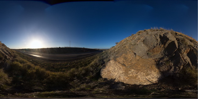
BoyaPole1 Map
 |
0 |
03/13/2015 9:27 a.m. |
3D |
Boya quarry, Boya, Western Australia. |
0.00 |
-31.91484580000 |
116.06239402000 |
-9999.000 |
|
|
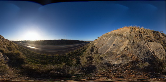
Boya5 Map
 |
0 |
03/13/2015 9:26 a.m. |
PANO |
Boya quarry, Boya, Western Australia. |
0.00 |
-31.91484580000 |
116.06239402000 |
-9999.000 |
|
|
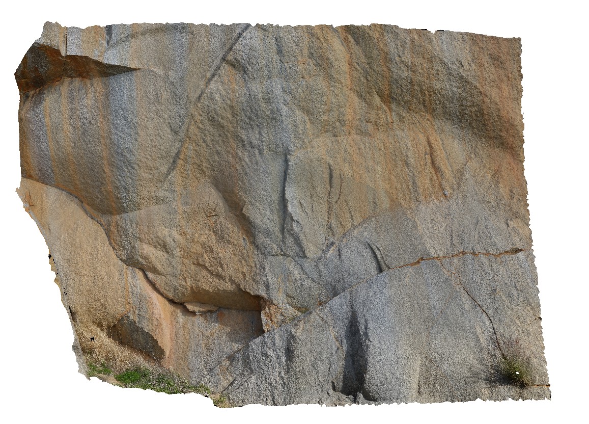
Bicheno7 Map
 |
0 |
03/13/2015 9:02 a.m. |
3D |
Biotite-tourmaline clots and associated k-feld alteration within porphyritic Bicheno Granite of the Boobyalla Suite. Tas. |
0.00 |
-41.86977728000 |
148.30369533000 |
-9999.000 |
igneous, porphyritic, granite, alteration |
Granite |
Blinman16 Map
 |
0 |
11/12/2015 10:17 a.m. |
3D |
detail of cross-section and 3D view of stromatolites. Blinman pools walking trail. Blinman, S.A. |
0.00 |
-31.12896000000 |
138.57230000000 |
-9999.000 |
stromatolite, palaeontology |
carbonate |