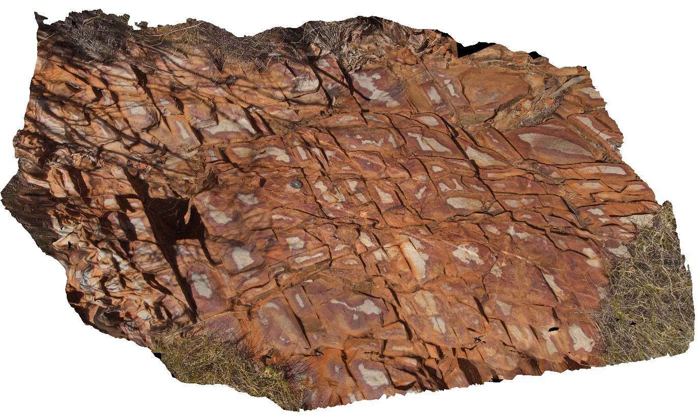
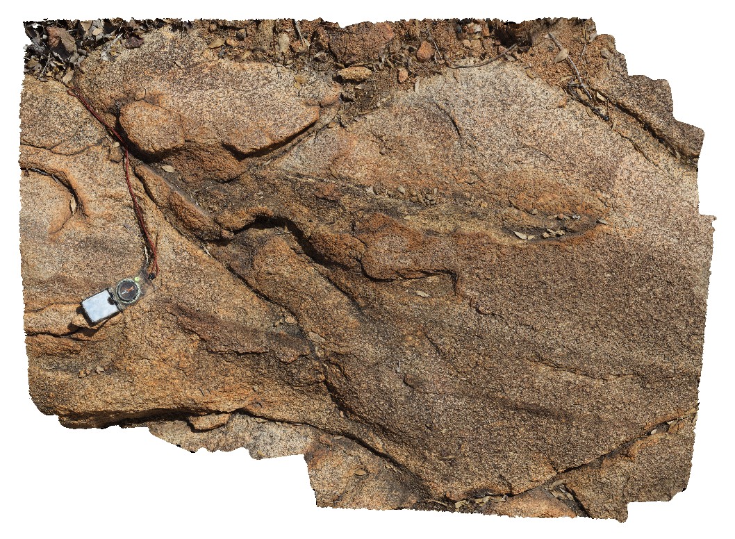
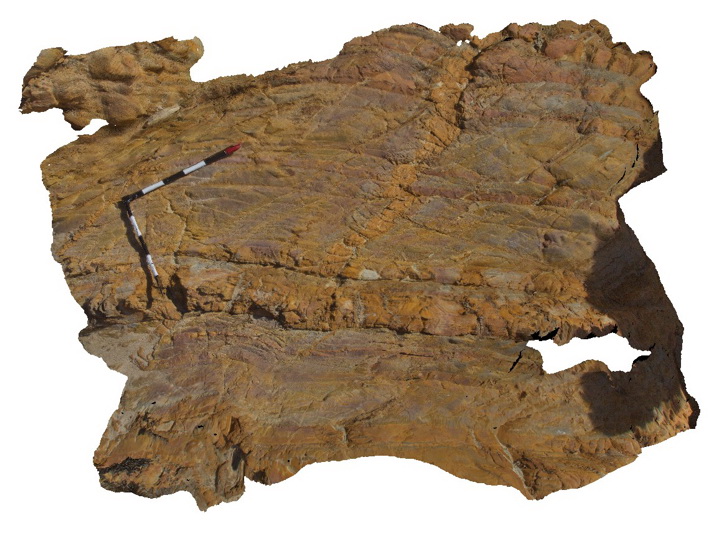
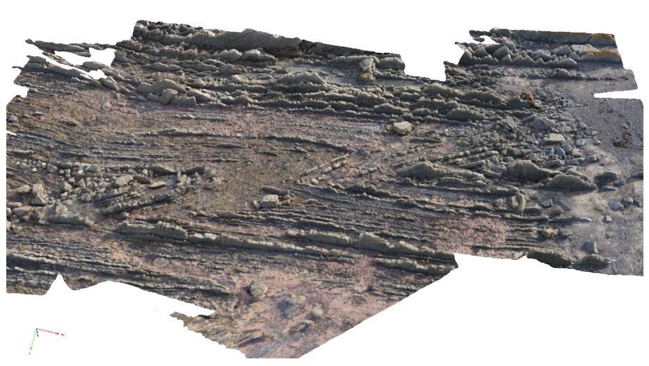
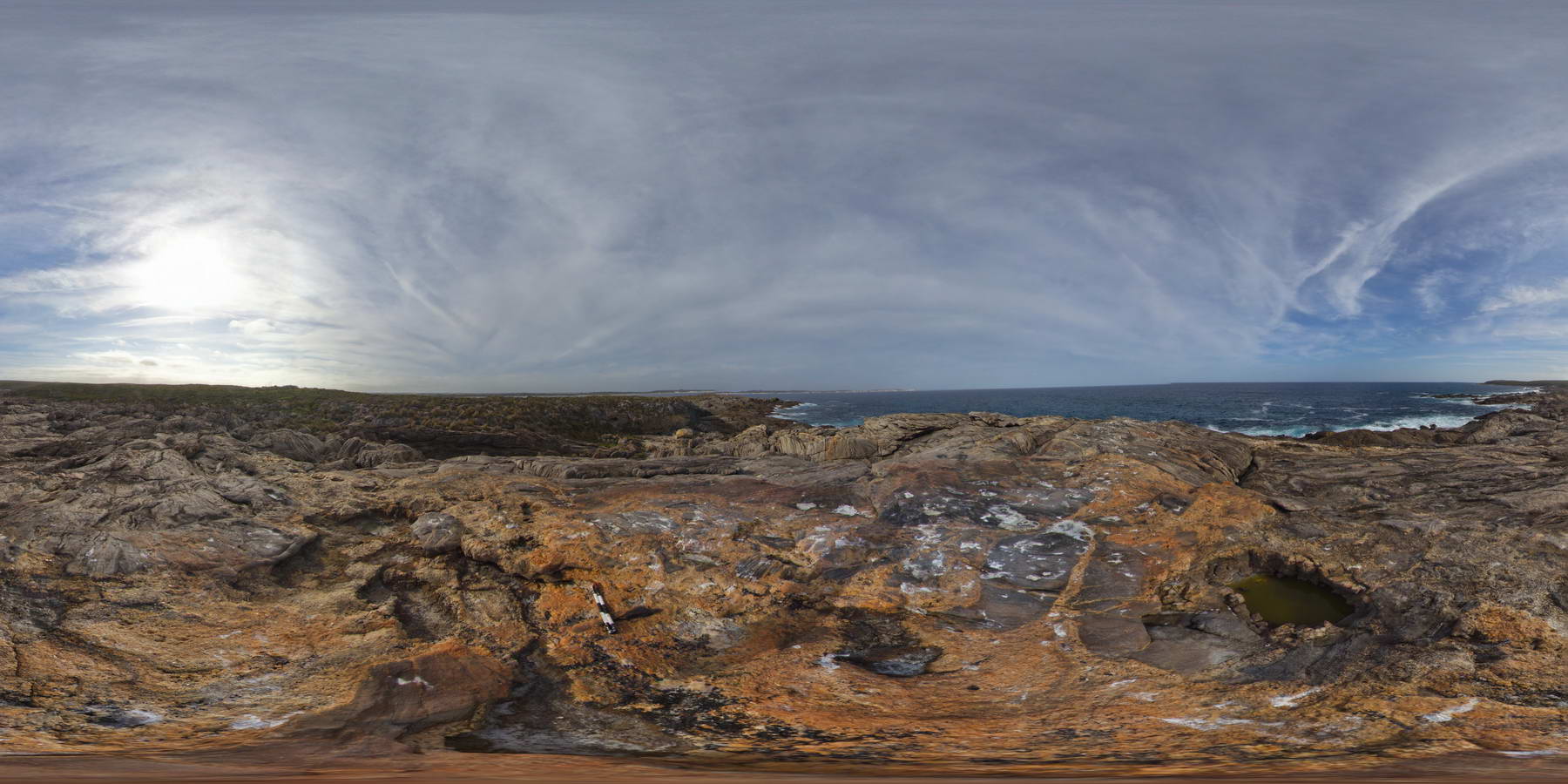
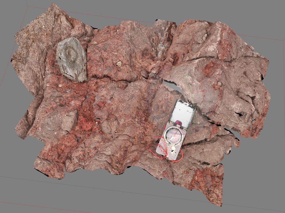
ORMG1 Map
 |
5 |
08/01/2016 2:28 p.m. |
3D |
weathering pattern on joints in quartzite with late quartz veins. Pound walk, Ormiston Gorge, N.T. |
1.00 |
-23.63449900000 |
132.73310600000 |
646.864 |
joint, weathering, quartzite |
quartzite |
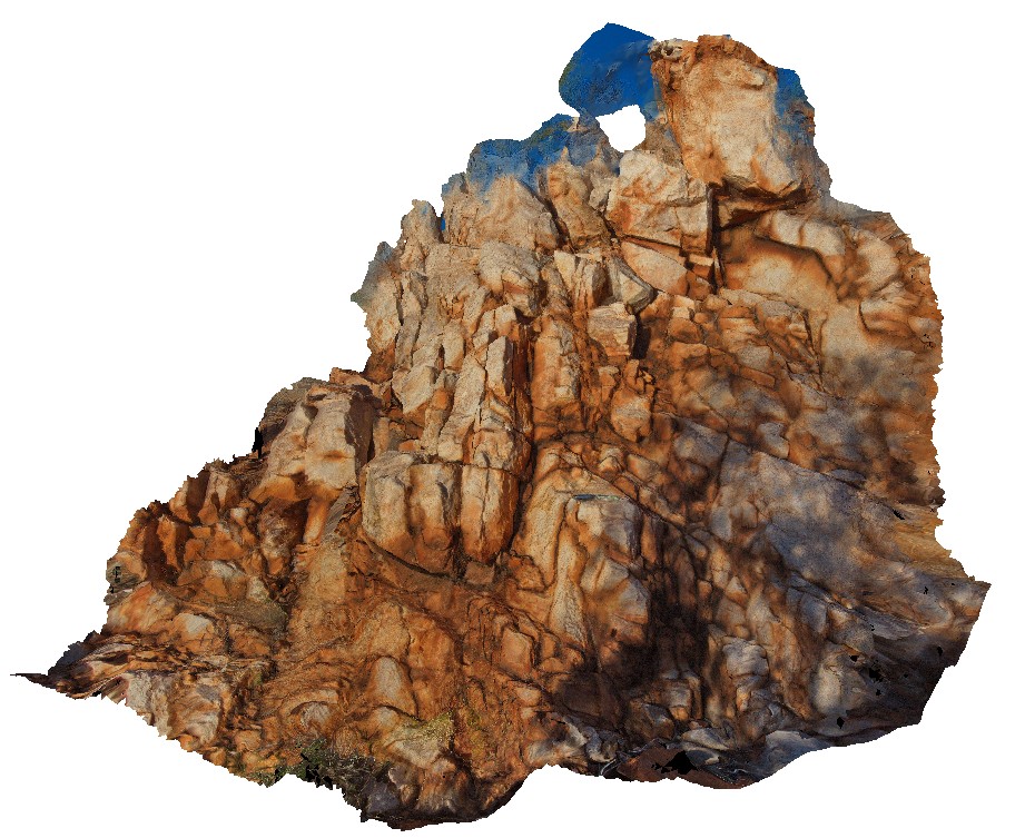
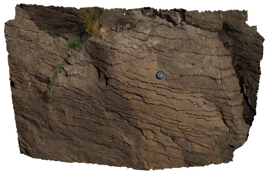
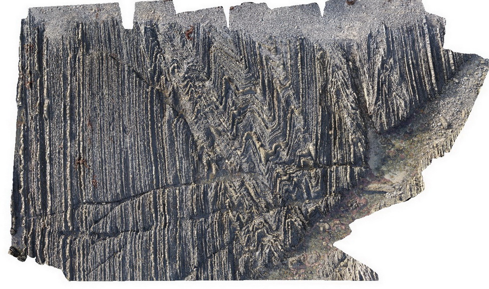
TOM2 Map
 |
5 |
01/01/9999 midnight |
3D |
weathering fractures on massive quartzite outcrop. Stuart Highway, N.T. |
2.50 |
-19.08544000000 |
134.17419000000 |
-9999.000 |
quartzite, joint, structure, metamorphic, weathering |
quartzite |
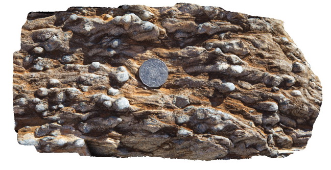
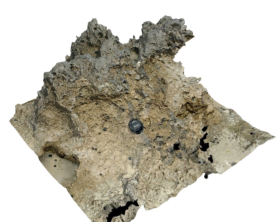
MountNyulasy1 Map
 |
0 |
01/01/9999 midnight |
3D |
weathered surface of rapakivi textured granite. Near Mount Nyulasy. Great Northern Highway, W.A. |
0.30 |
-16.74412000000 |
128.28265000000 |
-9999.000 |
rapakivi texture, Mount Nyulasy Granite, weathered surface |
granite |
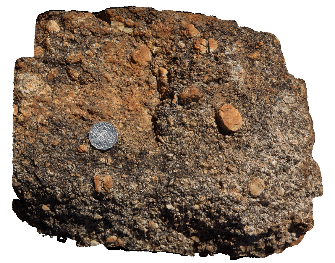
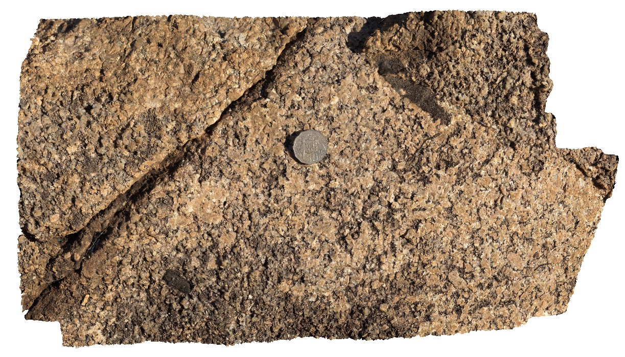
PtNeill15 Map
 |
0 |
10/20/2015 3:13 p.m. |
3D |
Weathered surface of mylonitised granitic gneiss, showing resistant felsic minerals. Point Neill. |
0.30 |
-34.12477000000 |
136.35162000000 |
-9999.000 |
mylonite, gneiss |
gneiss |
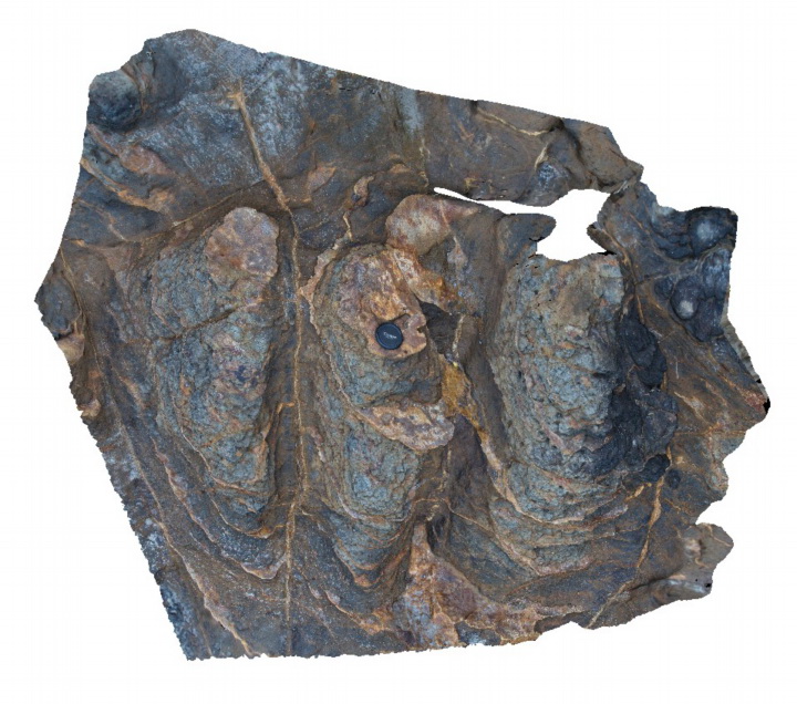
Blinman11 Map
 |
0 |
11/12/2015 10:14 a.m. |
3D |
weathered surface of carbonate breccia boulder showing recessive carbonate matrix. Parachilna Gorge road, Blinman. S.A. |
0.50 |
-31.11478000000 |
138.65196000000 |
-9999.000 |
diapiric breccia |
diapir |
Olary23 Map
 |
5 |
07/14/2015 11:22 a.m. |
3D |
weathered pelite, showing exposed prismatic andalusite forms. Weekaroo, Olary. S.A. |
0.30 |
-32.17537000000 |
139.99341000000 |
-9999.000 |
andalusite, pelite |
pelite |
MaryRiver2 Map
 |
0 |
06/23/2016 noon |
3D |
weathered granite with tabular xenoliths. Next to Arnhem Highway, Mary River, N.T. |
0.00 |
-12.90025000000 |
131.62051000000 |
-9999.000 |
granite, xenoliths, weathering |
granite |
LakeArgyle1 Map
 |
5 |
06/16/2016 noon |
3D |
weathered granite crosscut by 3cm wide aplite dyke. Lake Argyle Road, W.A. |
1.20 |
-16.03151000000 |
128.80560000000 |
-9999.000 |
dike, igneous |
granite |
CalcalingMine1 Map
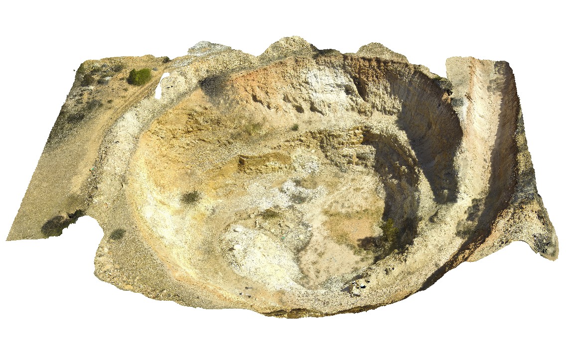 |
5 |
05/25/2016 noon |
3D |
weathered, complex zoned pegmatite, near Quanta Cutting-Weira Rd. W.A. |
0.00 |
-30.91527600000 |
118.43186600000 |
-9999.000 |
zoned pegmatite, pegmatite, igneous rock |
pegmatite |
CalcalingMine2 Map
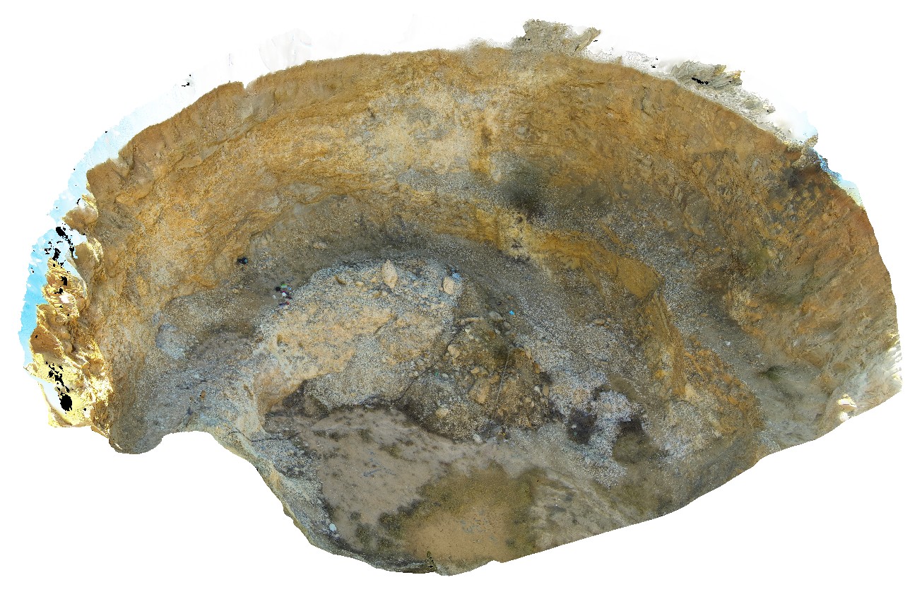 |
5 |
05/25/2016 noon |
3D |
weathered, complex zoned pegmatite, near Quanta Cutting-Weira Rd. W.A. |
42.00 |
-30.91527600000 |
118.43186600000 |
-9999.000 |
open pit, pegmatite, zoned pegmatite, igneous rock |
pegmatite |
LordHowe15 Map
 |
20 |
03/16/2015 2:51 p.m. |
3D |
weathered calcarenite. Lord Howe Island. |
1.00 |
-31.52049204000 |
159.05723998000 |
0.000 |
calcarenite, sedimentology |
calcarenite |
Schanck8 Map
 |
5 |
05/18/2015 1:39 p.m. |
3D |
Weathered basalt with prominent sub-horizontal and vertical 'zeolite' veins. Cape Schanck, Vic. |
1.50 |
-38.48315000000 |
145.02116000000 |
0.000 |
basalt, zeolite veins, weathering, igneous |
basalt |
Mallacoota10 Map
 |
5 |
05/18/2015 1:51 p.m. |
3D |
weathered basaltic dyke cross cutting chert bed turbidites of the Ordovician Adaminaby Group. Turbidites have prominent cleavage. Mallacoota, Vic. |
5.00 |
-37.57347000000 |
149.76541000000 |
1.000 |
turbidite, sedimentology, igneous, structure |
turbidite, basalt |
Blinman19 Map
 |
0 |
11/12/2015 10:18 a.m. |
3D |
wavy laminations in carbonate sandstone / possible stylolites? Blinman, S.A. |
1.00 |
-31.12814000000 |
138.57985000000 |
-9999.000 |
laminations, sedimentology |
carbonate |
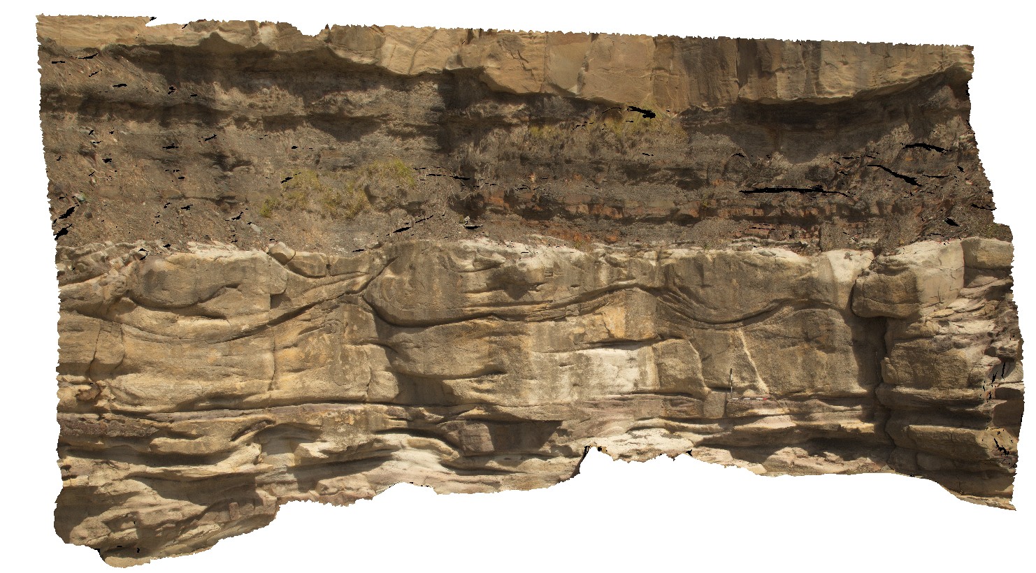
RHead5 Map
 |
5 |
01/01/9999 midnight |
3D |
wavy bedforms in the Nobbys Tuff and overlying floodplain sediments. Redhead, N.S.W. |
15.00 |
-33.00492000000 |
151.73006000000 |
-9999.000 |
tuff, floodplain sediments, wavy bedforms, sedimentology |
tuff |
VictoriaDowns1 Map
 |
0 |
06/19/2016 noon |
3D |
wavy bedding in dolostone. Buchanan Highway, N.T. |
2.60 |
-15.92971000000 |
130.63803000000 |
-9999.000 |
wavy bedding, dolostone, sedimentology |
dolostone |
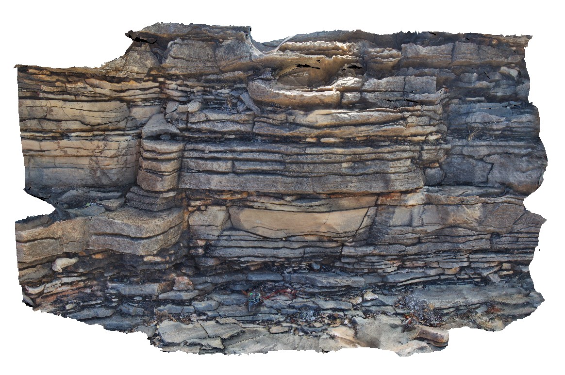
LiptrapPole2 Map
 |
20 |
03/13/2015 9:25 a.m. |
3D |
wave cut platform showing steeply plunging chevron folding in finely bedded turbiditic sequence. Cape Liptrap, Vic. |
0.00 |
-38.90414711000 |
145.91743374000 |
0.000 |
structure, chevron folds |
turbidite |
LiptrapPole1 Map
 |
20 |
03/13/2015 9:25 a.m. |
3D |
wave cut platform showing chevron folding and cross cutting faults in finely bedded turbidites. Cape Liptrap, Vic. |
0.00 |
-38.90406232000 |
145.91729772000 |
0.000 |
turbidite, chevron folds, structure |
turbidite |
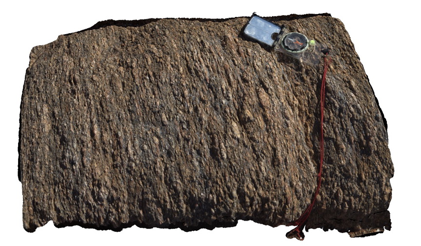
WARA2 Map
 |
0 |
07/22/2016 10:13 a.m. |
3D |
Warramunga Formation sandstone with bedding and foliation. Near Bill Allen lookout. Tennant Creek, N.T. |
0.80 |
-19.65035900000 |
134.21173300000 |
397.286 |
Warramunga Formation, bedding, foliation, structure |
sandstone |
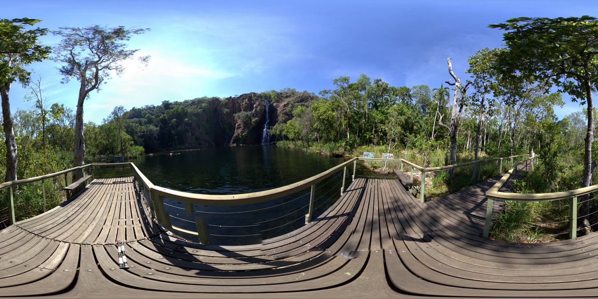
LitchfieldFSP5 Map
 |
0 |
06/23/2016 noon |
FSP |
Wangi Falls flowing over bedded sandstone. Litchfield National Park, N.T. |
100.00 |
-13.16383000000 |
130.68431000000 |
-9999.000 |
sandstone, sedimentology |
sandstone |
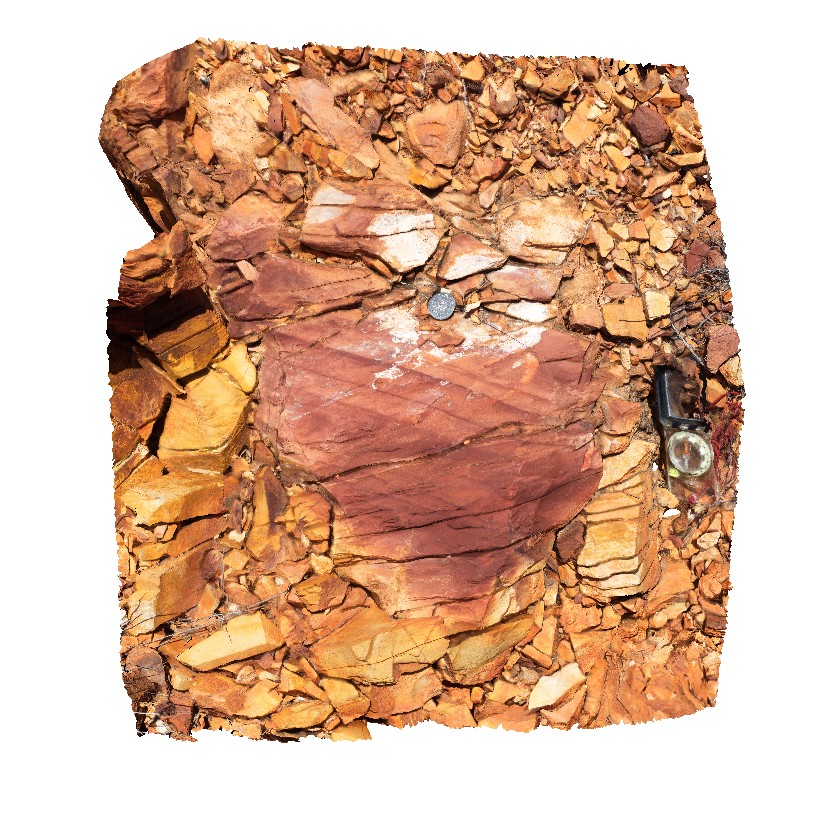
PtEllenFSP5 Map
 |
0 |
10/20/2015 3:46 p.m. |
FSP |
wall rock xenolith in pegmatite dyke intruding Kanmantoo metasediments. Point Ellen, Kangaroo Island. |
2000.00 |
-35.99879000000 |
137.18634000000 |
-9999.000 |
xenolith, intrusive contact, pegmatite, metasediment |
pegmatite, sediment |
Bombo5 Map
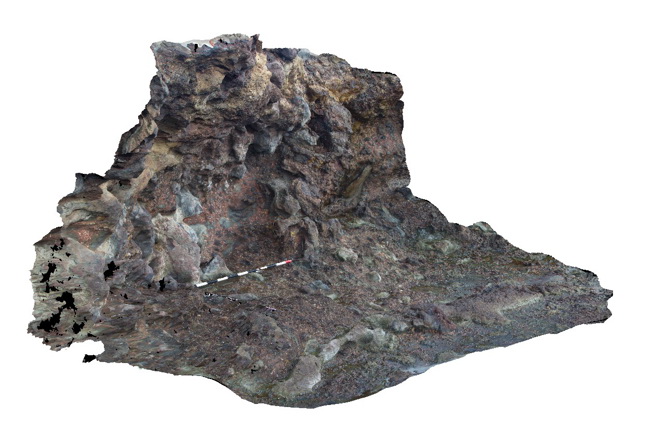 |
5 |
07/08/2015 9:41 a.m. |
3D |
volcanic breccia with irregular 'tubes' of lava between clasts. Bombo, N.S.W. |
4.00 |
-34.65195000000 |
150.86299000000 |
2.000 |
volcanics, volcanic breccia, lava, igneous |
breccia |
Blackjack7 Map
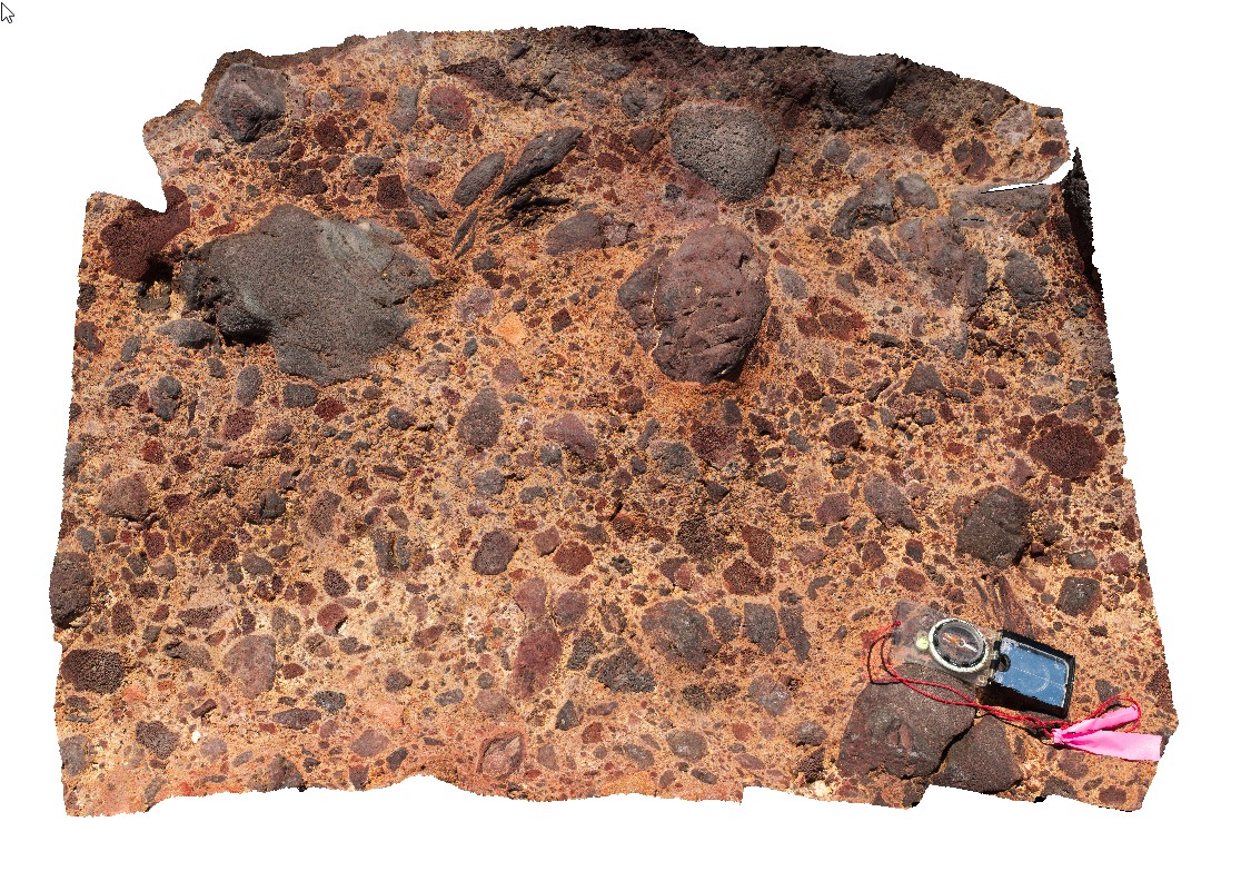 |
10 |
01/01/9999 midnight |
3D |
volcanic breccia with basaltic vesicular clasts on shore line. Black Jack Hills, Tas. |
1.00 |
-42.99269000000 |
147.65282000000 |
-9999.000 |
basaltic breccia`, volcanic textures |
basalt |
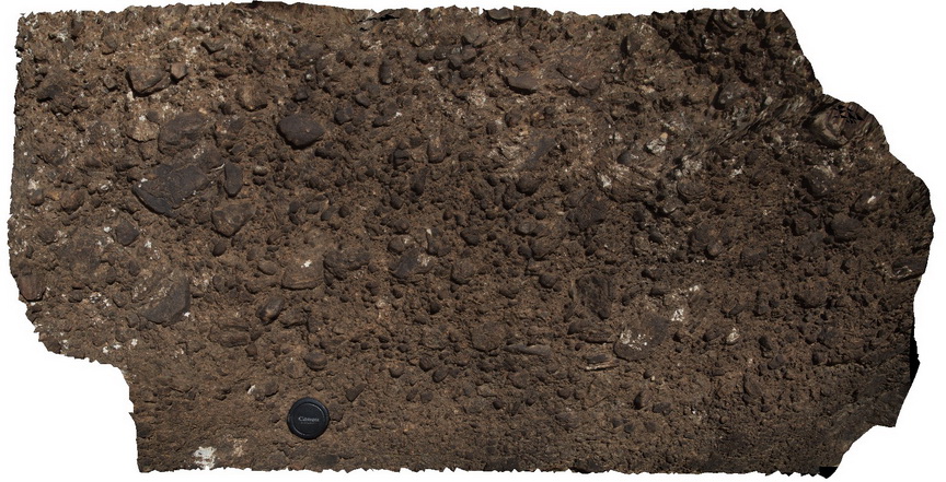
Blackjack1 Map
 |
5 |
01/01/9999 midnight |
3D |
volcanic breccia with basaltic vesicular clasts on shore line. Black Jack Hills, Tas. |
1.00 |
-42.99269000000 |
147.65282000000 |
-9999.000 |
volcanic breccia, basalt, volcanic |
basalt |
Blackjack11 Map
 |
20 |
01/01/9999 midnight |
3D |
volcanic breccia with basaltic vesicular clasts on shore line. Black Jack Hills, Tas. |
0.60 |
-42.99269000000 |
147.65282000000 |
-9999.000 |
volcanic breccia, volcanics, bomb |
basalt |