LitchfieldFSP2 Map
 |
0 |
06/23/2016 noon |
FSP |
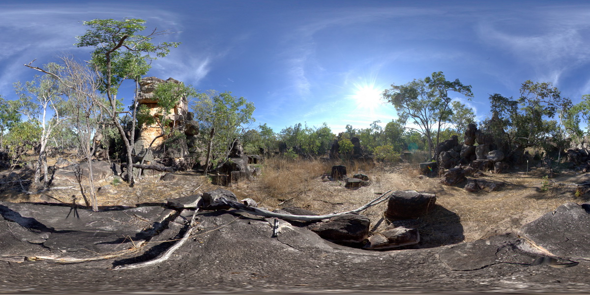
bedded conglomerate, pebbly sandstone, sandstone and lesser dolostone that has eroded from towers. Litchfield National Park, N.T. |
100.00 |
-13.21681000000 |
130.73569000000 |
-9999.000 |
conglomerate, sandstone, sedimentology, tower |
sandstone |
LitchfieldFSP3 Map
 |
0 |
06/23/2016 noon |
FSP |
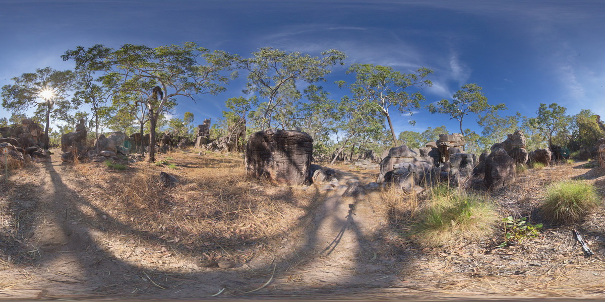
cross bedding in sandstone towers at Lost City Rock Formations. Litchfield National Park, N.T. |
100.00 |
-13.21704000000 |
130.73532000000 |
-9999.000 |
Litchfield National Park, cross bedding, sandstone, sedimentology |
sandstone |
Litchfield1 Map
 |
0 |
06/23/2016 noon |
3D |
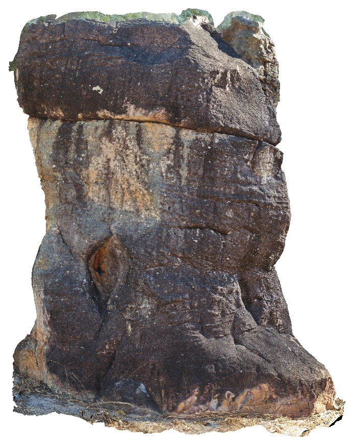
cross-bedding in conglomerate outcrop. Lost City Rock Formations, Litchfield National Park. N.T. |
4.00 |
-13.21803000000 |
130.73550000000 |
-9999.000 |
cross bedding, conglomerate, Litchfield National Park |
conglomerate |
LitchfieldFSP4 Map
 |
0 |
06/23/2016 noon |
FSP |
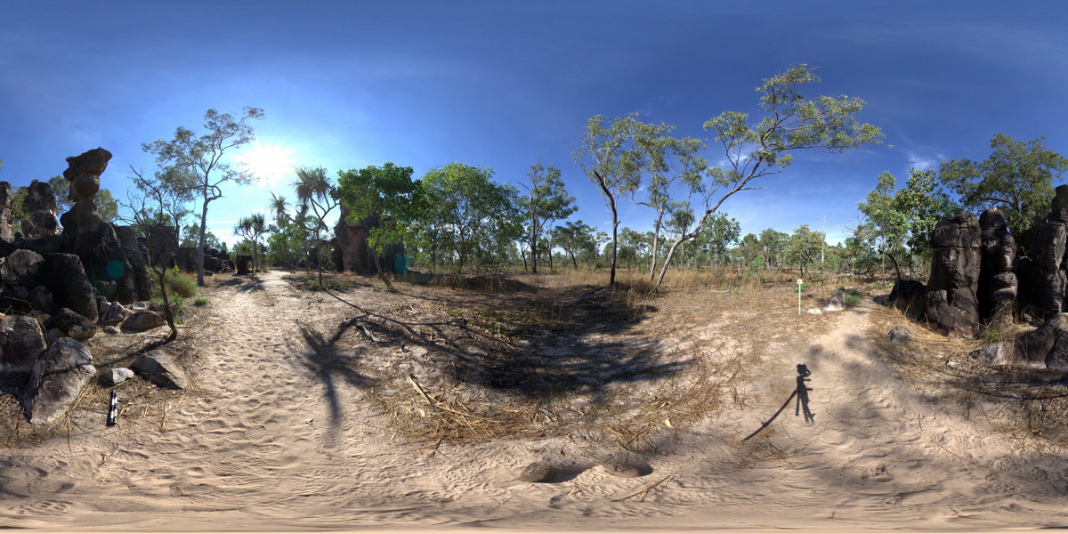
cross bedded conglomerate and dolostone towers at Lost City Rock Formations. Litchfield National Park, N.T. |
100.00 |
-13.21803000000 |
130.73550000000 |
-9999.000 |
cross bedding, conglomerate, dolostone, sedimentology, Litchfield National Park |
conglomerate |
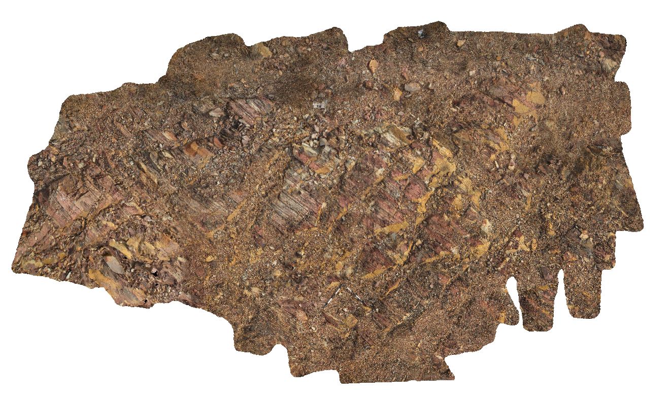
Dorat4 Map
 |
0 |
06/23/2016 noon |
3D |
red and white banded dolostone with stromatolite layers. Dorat Road, N.T. |
7.00 |
-13.25603000000 |
131.11040000000 |
-9999.000 |
stromatolite, dolostone, fossil, palaeontology |
dolostone |
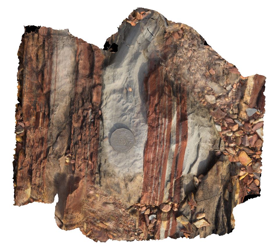
Dorat5 Map
 |
0 |
06/23/2016 noon |
3D |
macro of red and white banded dolostone. Dorat Road, N.T. |
0.25 |
-13.25619000000 |
131.11055000000 |
-9999.000 |
dolostone, sedimentology |
dolostone |
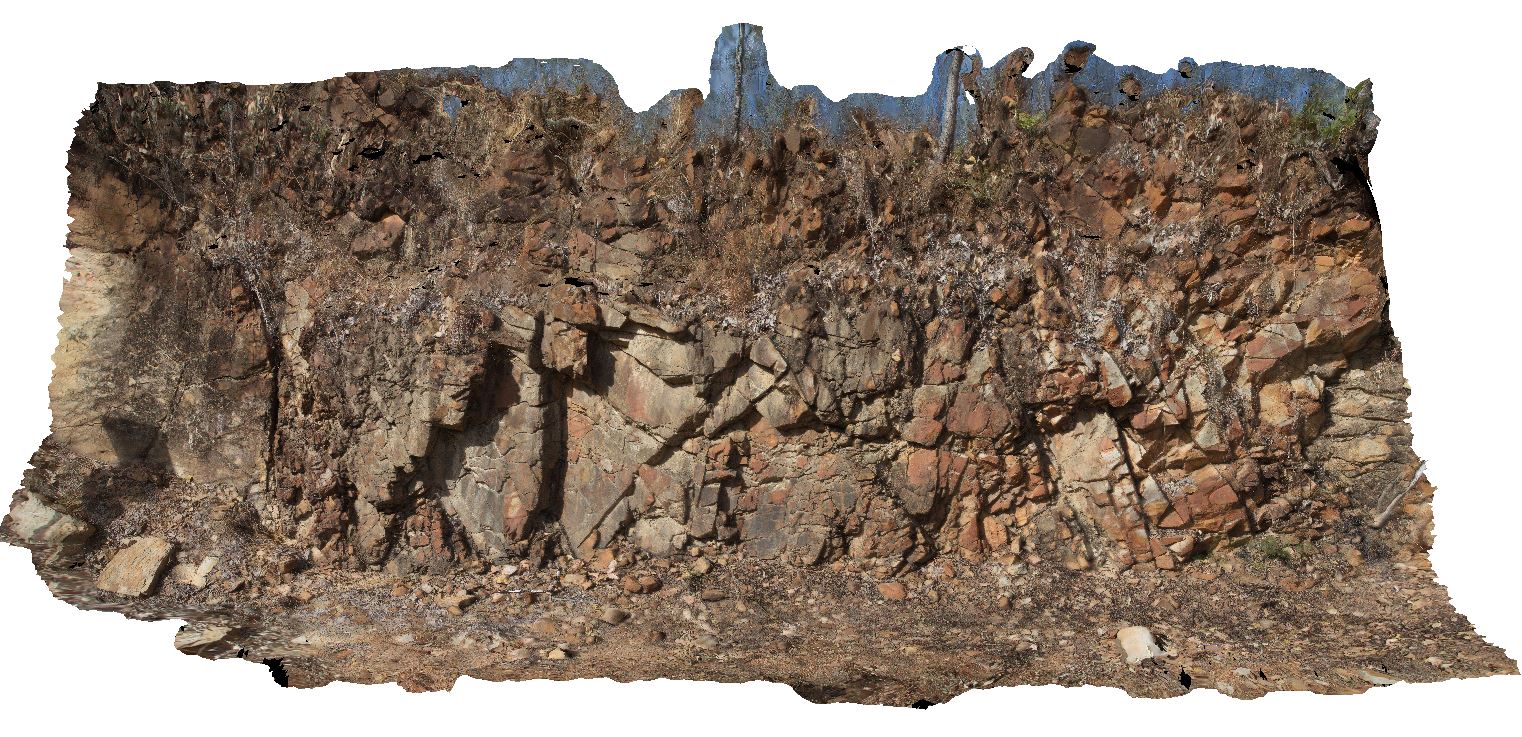
Dorat3 Map
 |
0 |
06/23/2016 noon |
3D |
steeply dipping beds of micaceous sandstone, crosscut by quartz veins that have been offset by reverse faults. Dorat Road, N.T. |
12.00 |
-13.46897000000 |
131.17831000000 |
-9999.000 |
steeply dipping, fault, structure, sandstone |
sandstone |
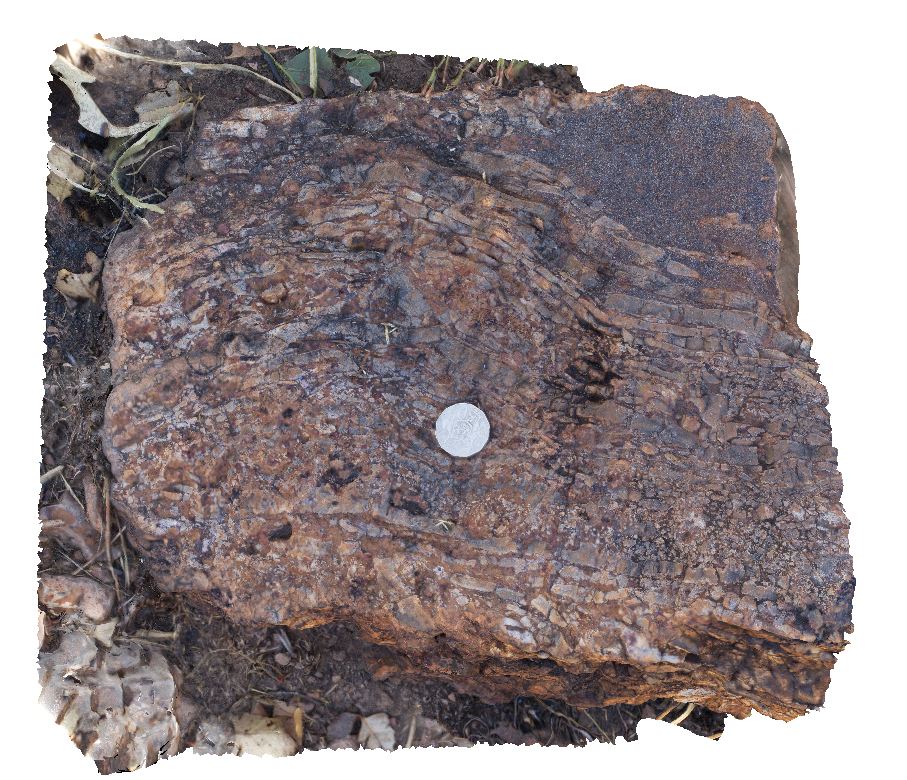
Dorat1 Map
 |
0 |
06/23/2016 noon |
3D |
lenticular bedding in interbedded wackestone and fragmented siltstone. Cracks in siltstone have infilled with wackestone. Strong oxidation. Dorat Road, N.T. |
0.40 |
-13.53578000000 |
131.36366000000 |
-9999.000 |
wackestone, sedimentology, infilled mud cracks |
wackestone |
PCFSP1 Map
 |
0 |
07/20/2016 11:17 a.m. |
FSP |
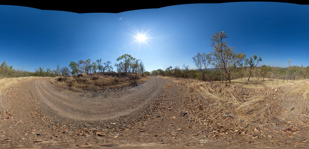
view of surrounding landscape of Pine Creek Orogen, North West corner. Grove Hill Road, Stuart Highway, N.T. |
0.00 |
-13.54029100000 |
131.53586900000 |
183.874 |
Pine Creek Orogeny |
metasediments |
Dorat2 Map
 |
0 |
06/23/2016 noon |
3D |
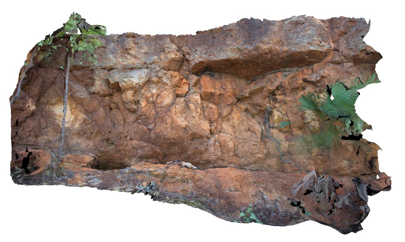
shallowly dipping, very poorly sorted, thickly bedded granule to pebble bearing sandstone. Dorat Road, N.T. |
5.50 |
-13.54148000000 |
131.24234000000 |
-9999.000 |
poorly sorted sandstone, shallow dipping |
sandstone |
PCFSP2 Map
 |
0 |
07/20/2016 11:58 a.m. |
FSP |
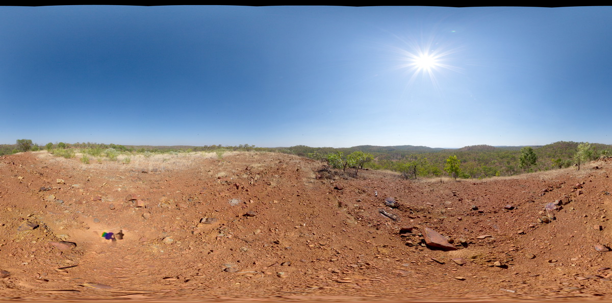
Pine Creek Orogen. View from dolerite / amphibolite hilltop. Grove Hill Road, Stuart Highway, N.T. |
0.00 |
-13.57025000000 |
131.51901000000 |
216.621 |
amphibolite, Pine Creek Orogen |
amphibolite |
MtBonnie2 Map
 |
0 |
06/23/2016 noon |
3D |
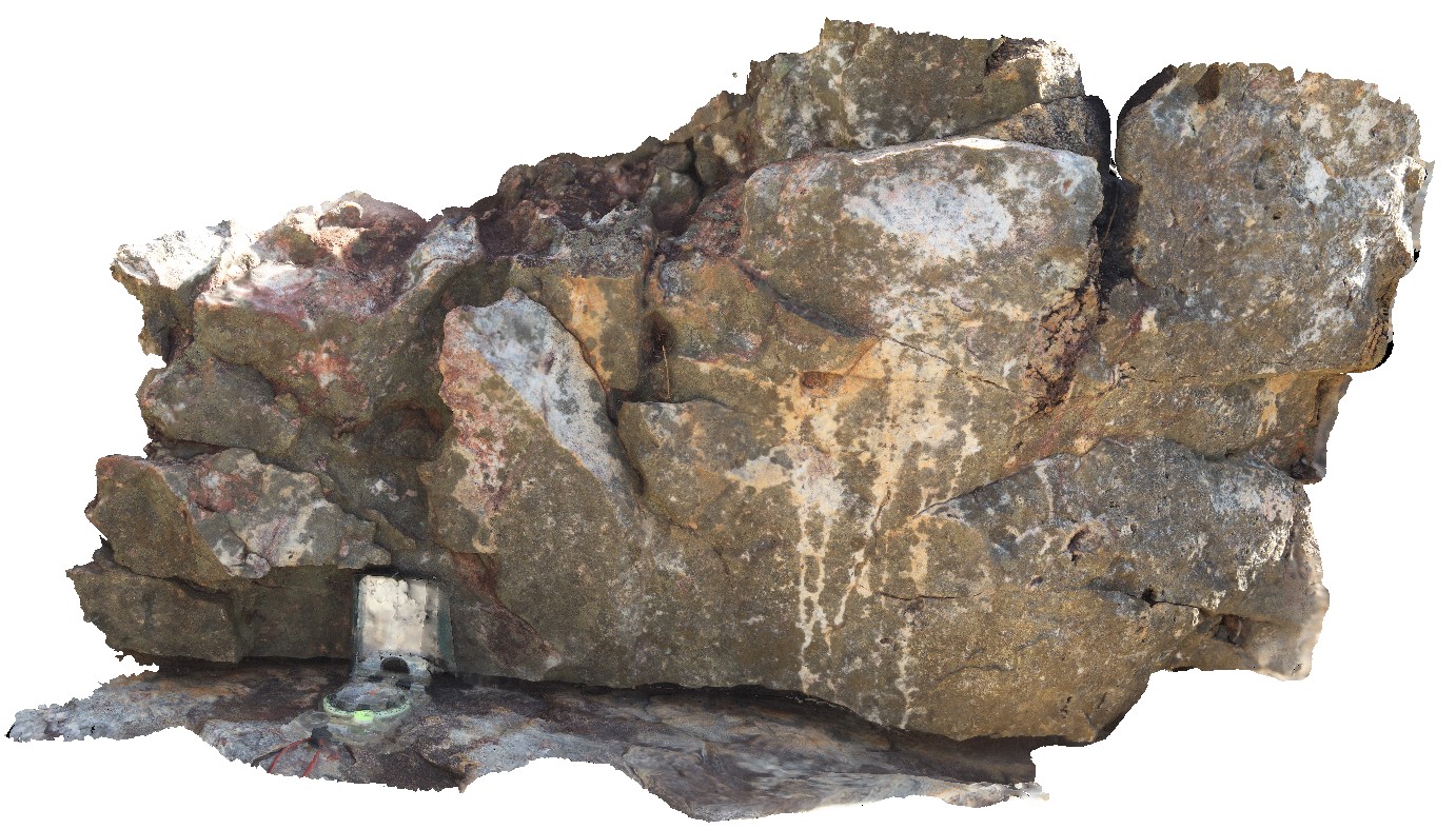
green and white banded to patchy alteration and red (hematite?) alteration near quartz veins. Quartz-filled cavity. Mount Bonnie gold field. Grove Hill road, off Stuart Highway, N.T. |
1.00 |
-13.57035000000 |
131.51720000000 |
-9999.000 |
alteration, quartz stockwork veins |
quartzite |
MtBonnie1 Map
 |
0 |
06/23/2016 noon |
3D |
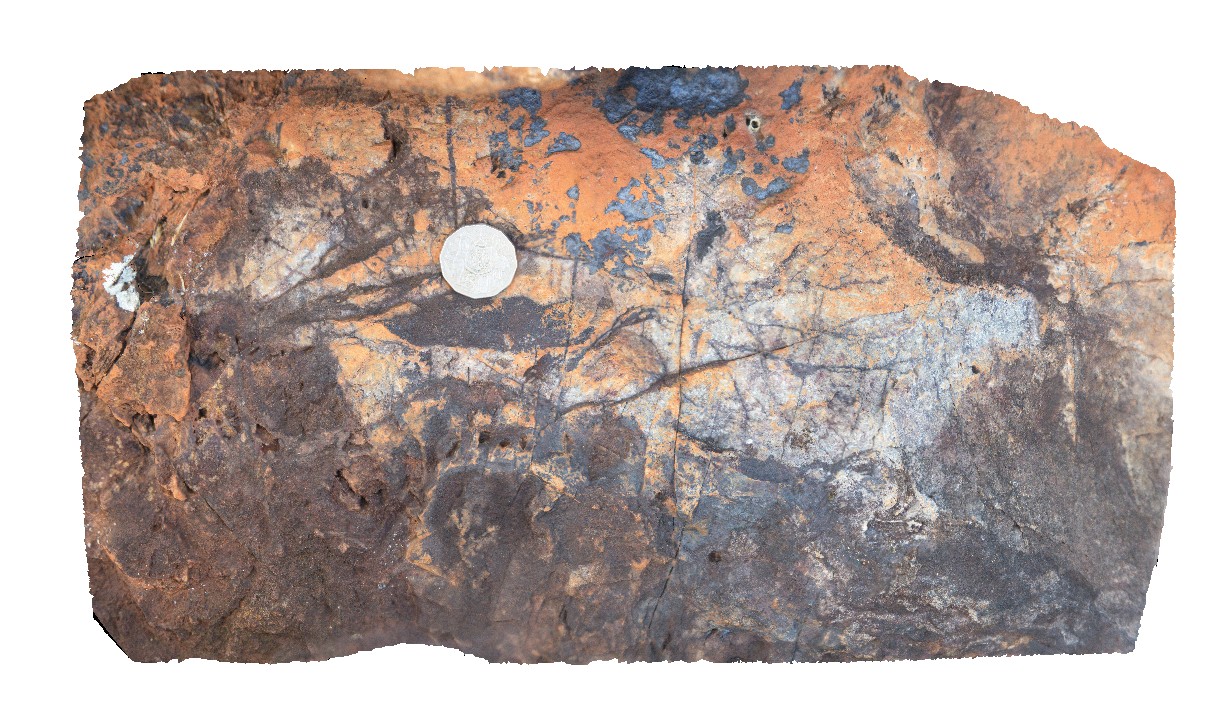
Fe-oxide stockwork veins in a metasomatised quartzite. Mount Bonnie gold field. Grove Hill road, off Stuart Highway, N.T. |
0.40 |
-13.57147000000 |
131.51778000000 |
-9999.000 |
quartz stockwork vein, quartzite, gold field |
quartzite |
PCFSP3 Map
 |
0 |
07/20/2016 12:19 p.m. |
FSP |
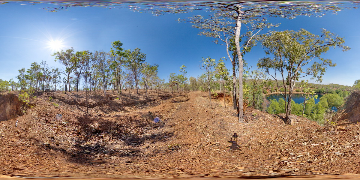
Pine Creek Orogen. View from crest of open pit / old Au mine site. Grove Hill Road, Stuart Highway, N.T. |
0.00 |
-13.57244700000 |
131.51831100000 |
209.668 |
mine site, Pine Creek Orogen |
metasediments, dolerite |
PC1 Map
 |
0 |
07/20/2016 1 p.m. |
3D |
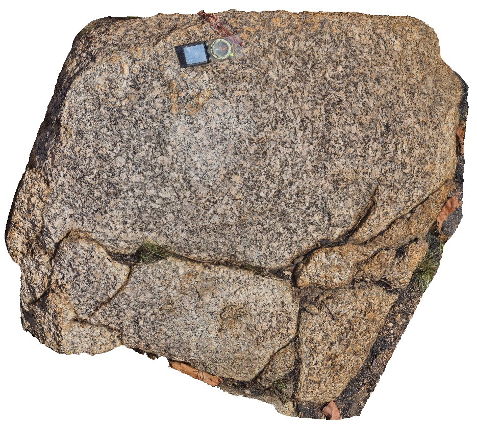
Pine Creek Orogen. Granite outcrop with magnetite, K-feldspar. Creek off Grove Hill Road, Stuart Highway, N.T. |
1.00 |
-13.59079900000 |
131.53095700000 |
169.097 |
Pine Creek Orogen, granite |
granite |
PCFSP4 Map
 |
0 |
07/20/2016 12:48 p.m. |
FSP |
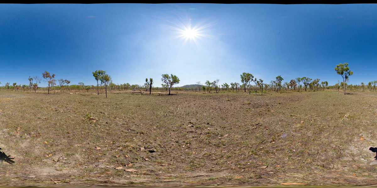
Pine Creek Orogen. Low-lying granite boulder field. Basalt hills to the north and flat-lying sandstone hills to the south. Creek off Grove Hill Road, Stuart Highway, N.T. |
0.00 |
-13.59143200000 |
131.53143600000 |
168.098 |
Pine Creek Orogen, granite, basalt, sandstone |
granite |
PC2 Map
 |
0 |
07/20/2016 1:42 p.m. |
3D |
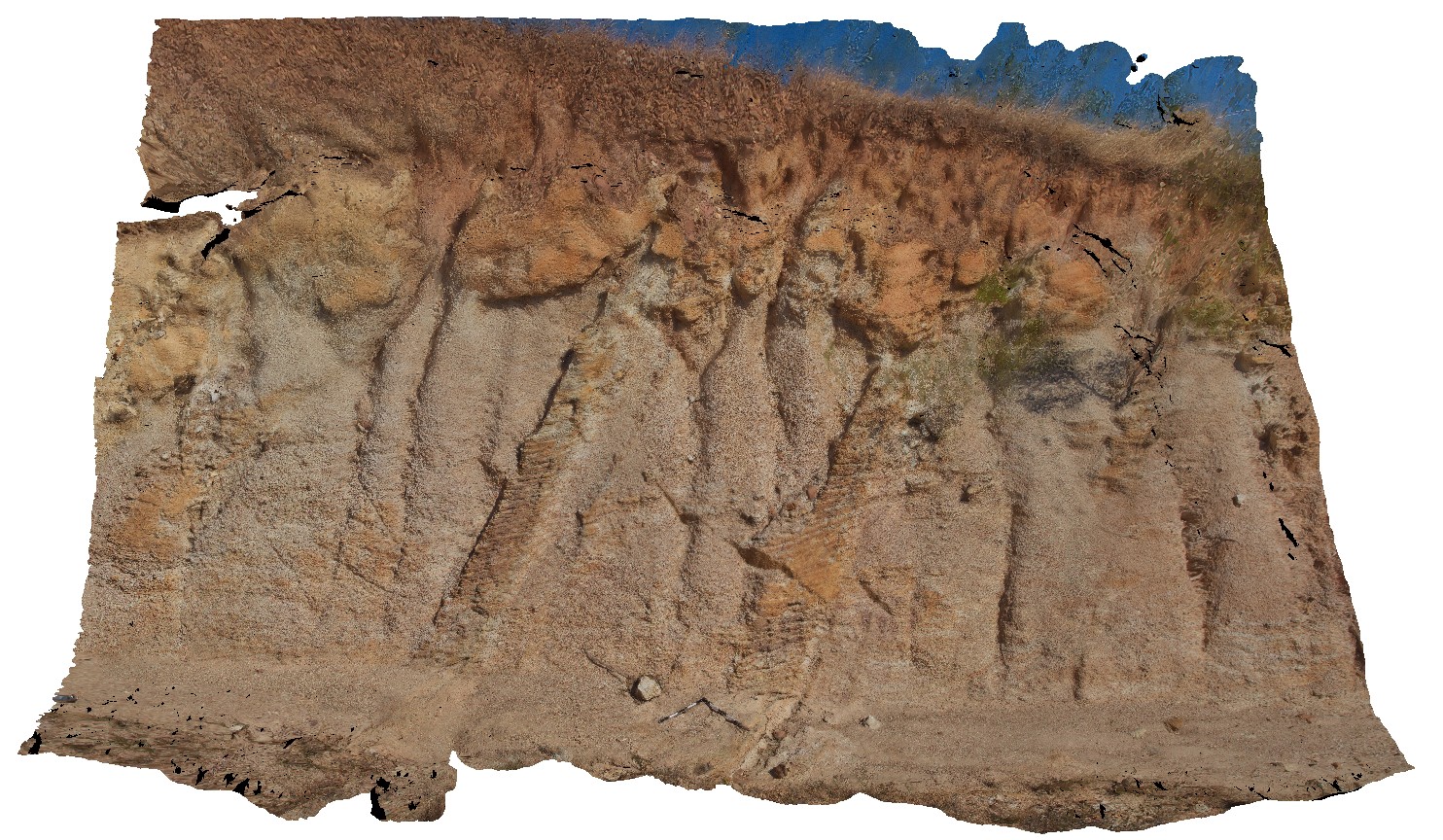
Pine Creek Orogen. Outcrop of coarse-grained (hornfelsed?) sandstone in road cutting. Stuart Highway, N.T. |
8.00 |
-13.62569900000 |
131.54238800000 |
223.345 |
sandstone, sedimentology |
sandstone |
PineCreek1 Map
 |
0 |
06/25/2016 noon |
3D |
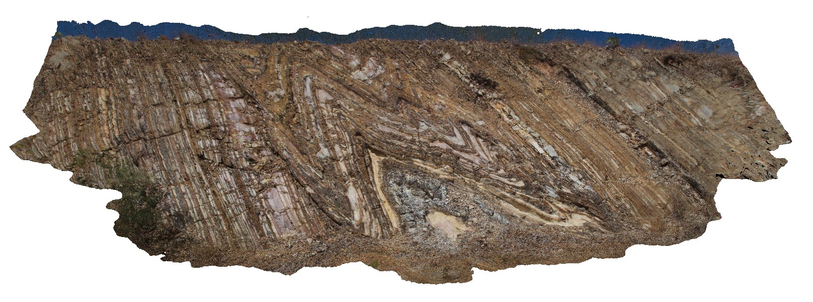
road cutting, showing tight to open folds in thinly layered, white, brown and grey mudstone of the Mount Bonnie Formation. Kakadu Highway, N.T. |
10.00 |
-13.65349000000 |
132.15392000000 |
-9999.000 |
tight fold, fold hinge, fold, structure, sheared limb |
mudstone |
PineCreekUAV1 Map
 |
0 |
06/25/2016 noon |
UAV |
overview of road cutting, showing tight to open folds with sheared limbs in thinly banded mudstone. Kakadu Highway, N.T. |
25.00 |
-13.65349000000 |
132.15392000000 |
-9999.000 |
sheared fold limb, fold, structure, mudstone |
mudstone |
DouglasRiver1 Map
 |
0 |
06/23/2016 noon |
3D |
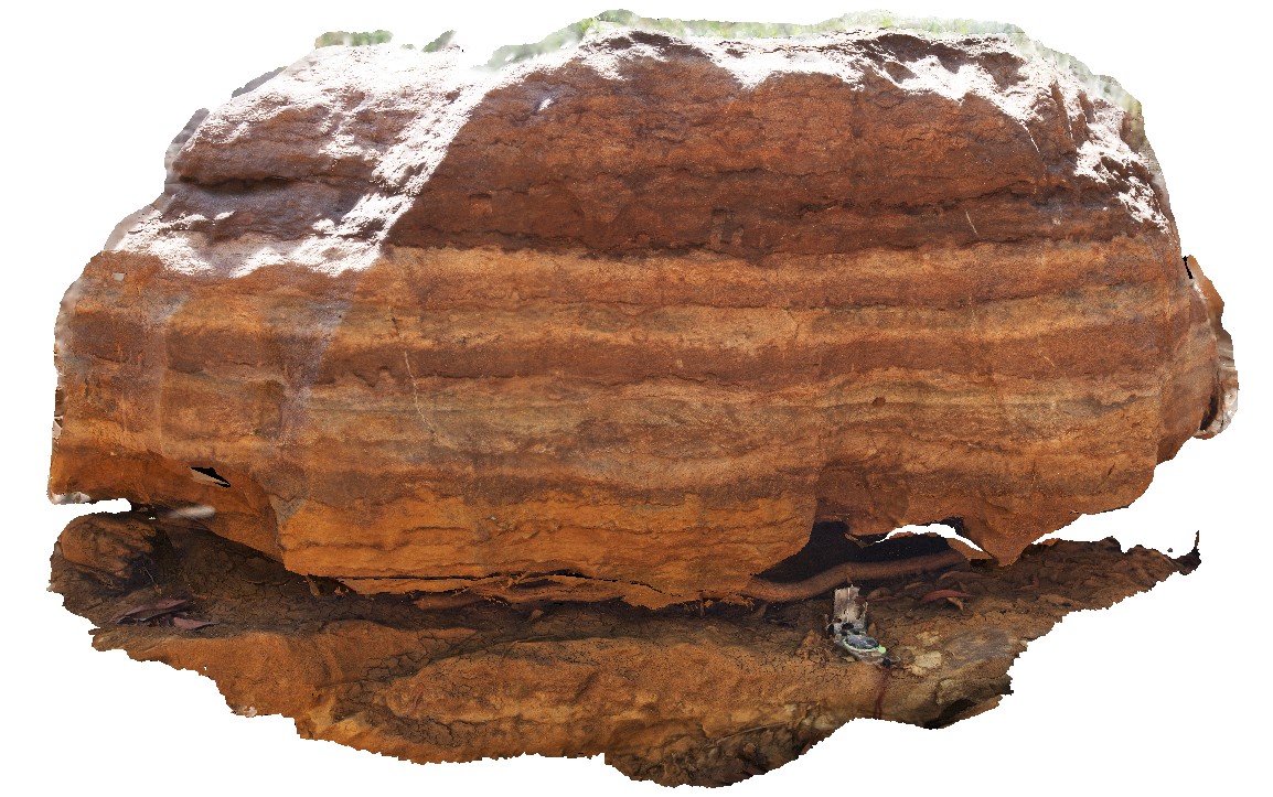
graded beds of fossiliferous limestone with styolitic bands, crosscut by calcite veins. Moderately recrystallised. Fossils are possibly shell fragments and crinoid ossicles. Limestone mixed with iron-rich muds. Oolloo Road, near Douglas-Daly Tourist Park. |
1.50 |
-13.80977000000 |
131.34131000000 |
-9999.000 |
fossiliferous, limestone, stylolite bands, sedimentology, fossil, palaeontology |
limestone |
KathFSP1 Map
 |
0 |
07/20/2016 5:41 p.m. |
FSP |
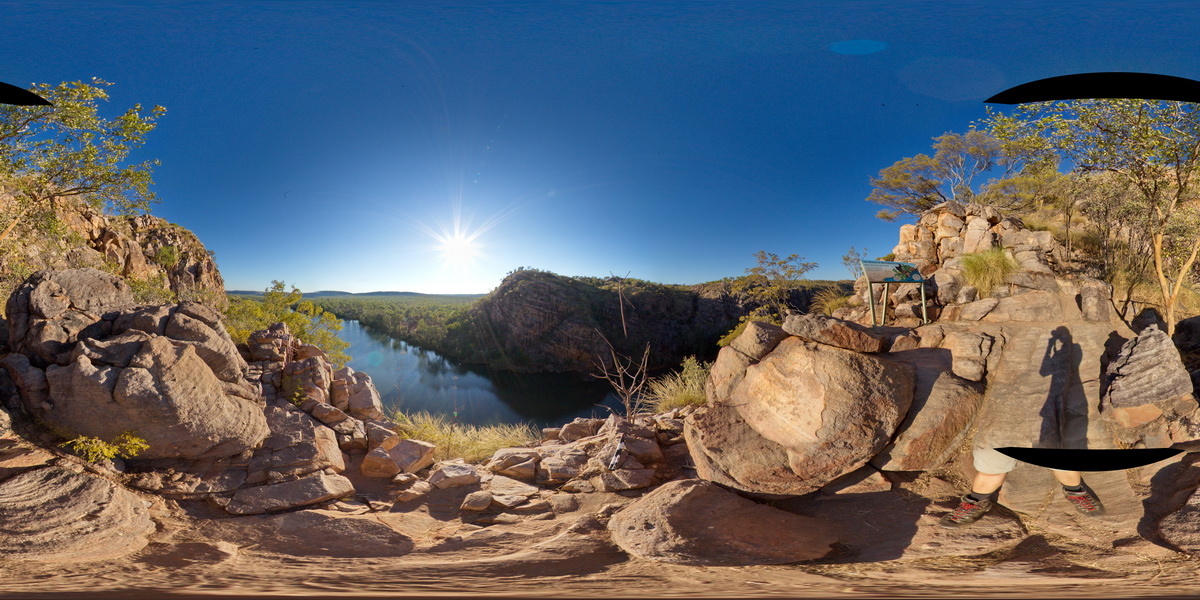
view from the side of Katherine Gorge, showing banded sandstones. Katherine Gorge, N.T. |
200.00 |
-14.31134500000 |
132.42592800000 |
167.494 |
sandstone, bedded, sedimentology, Katherine Gorge |
sandstone |
Kath2 Map
 |
0 |
07/20/2016 5:56 p.m. |
3D |
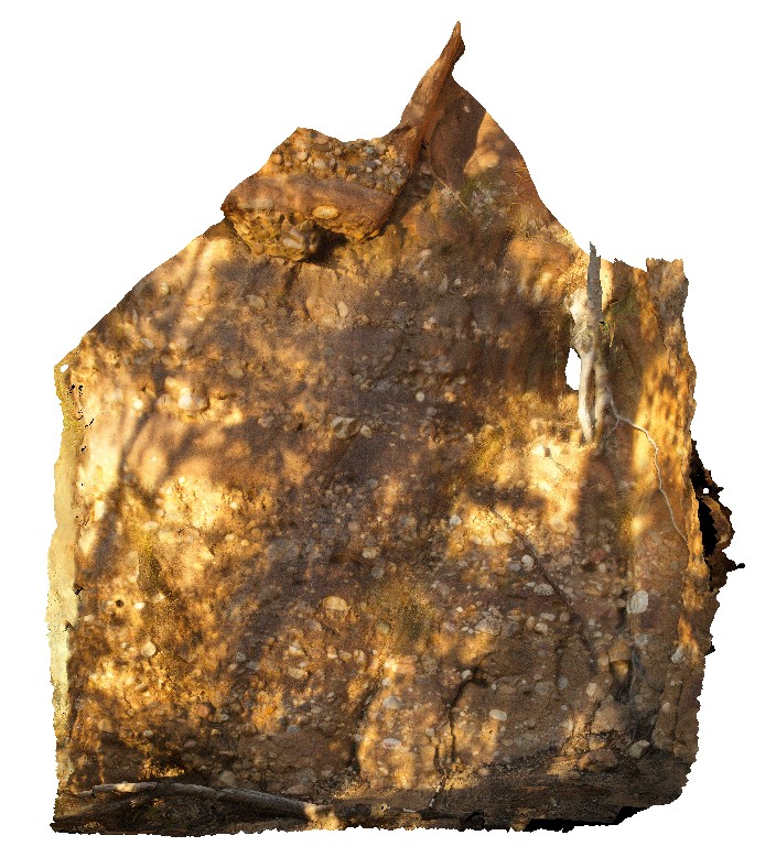
outcrop of conglomerate / cobble bands in sandstone at the edge of the Katherine River. Katherine Gorge, N.T. |
5.00 |
-14.31142700000 |
132.42550800000 |
135.243 |
conglomerate, banding, sandstone, sedimentology |
sandstone |
Kath3 Map
 |
5 |
01/01/9999 midnight |
3D |
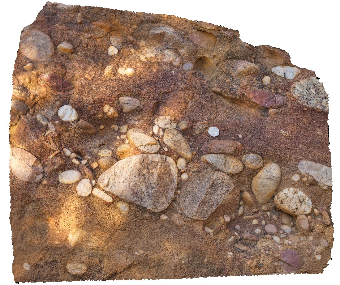
macro view of quartz and granite cobbles in sandstone matrix. Katherine Gorge, N.T. |
0.60 |
-14.31142700000 |
132.42550800000 |
135.243 |
conglomerate, sedimentology, Katherine Gorge |
conglomerate |
Kath1 Map
 |
0 |
07/20/2016 5:18 p.m. |
3D |
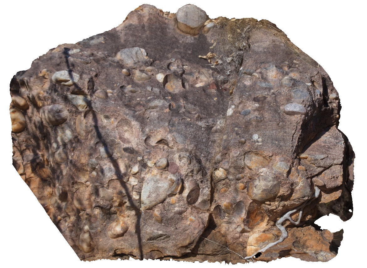
conglomerate of rounded boulders and cobbles in well-sorted sandstone matrix. Katherine Gorge, N.T. |
1.00 |
-14.31279300000 |
132.42419500000 |
170.669 |
conglomerate, sorting, sedimentology |
conglomerate |
KatherineUAV2 Map
 |
0 |
06/22/2016 noon |
UAV |
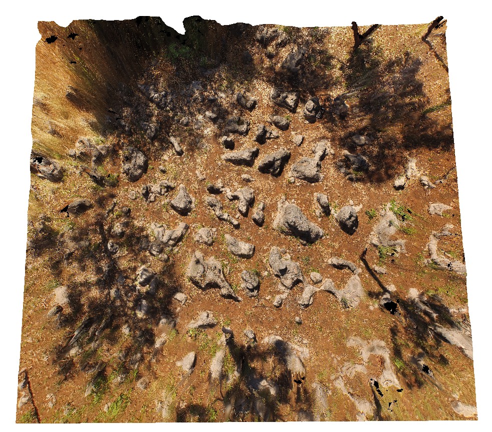
aerial view of karst towers in very thickly bedded limestone. N/W of Katherine township, N.T. |
14.00 |
-14.40787000000 |
132.19470000000 |
-9999.000 |
karst landscape, limestone, weathering feature |
limestone |


