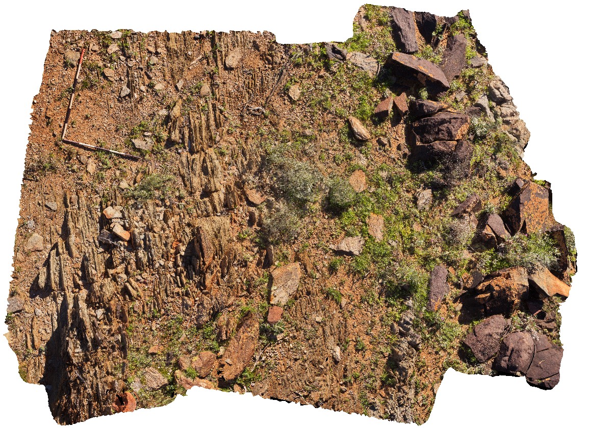
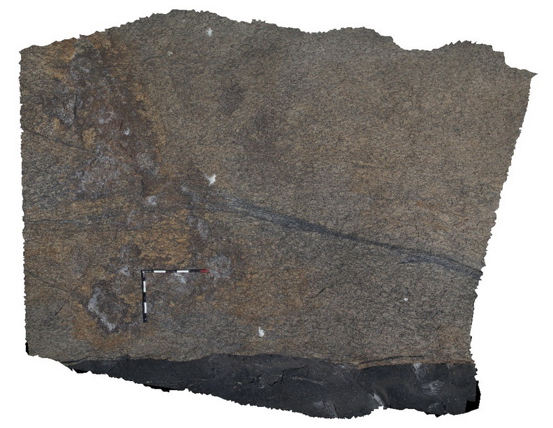
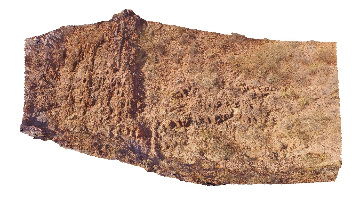
TaliaUAV2 Map
 |
0 |
10/20/2015 4:52 p.m. |
UAV |
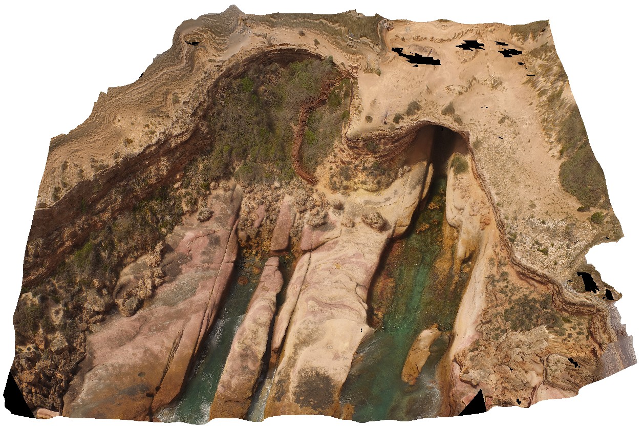
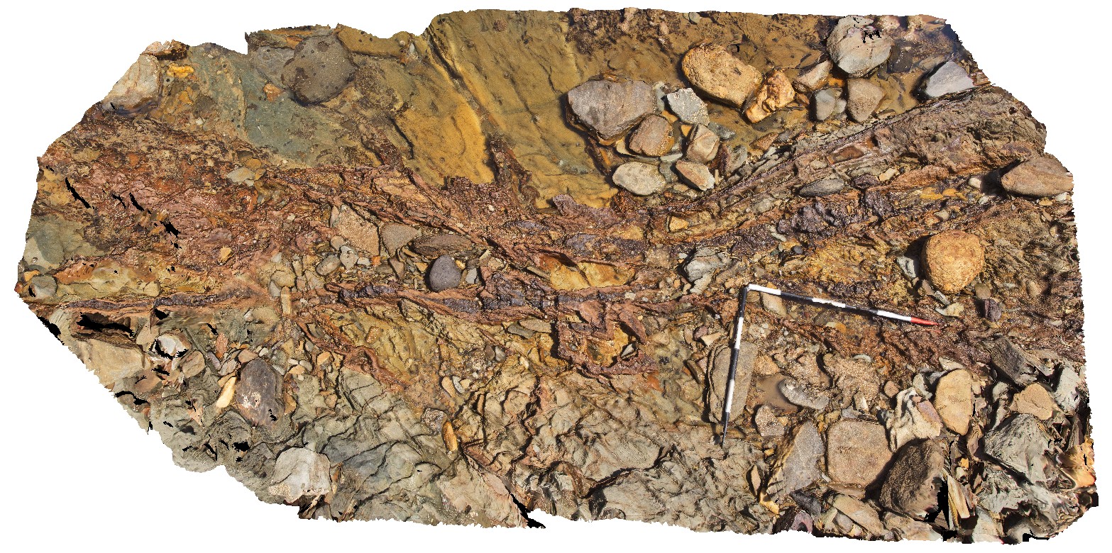
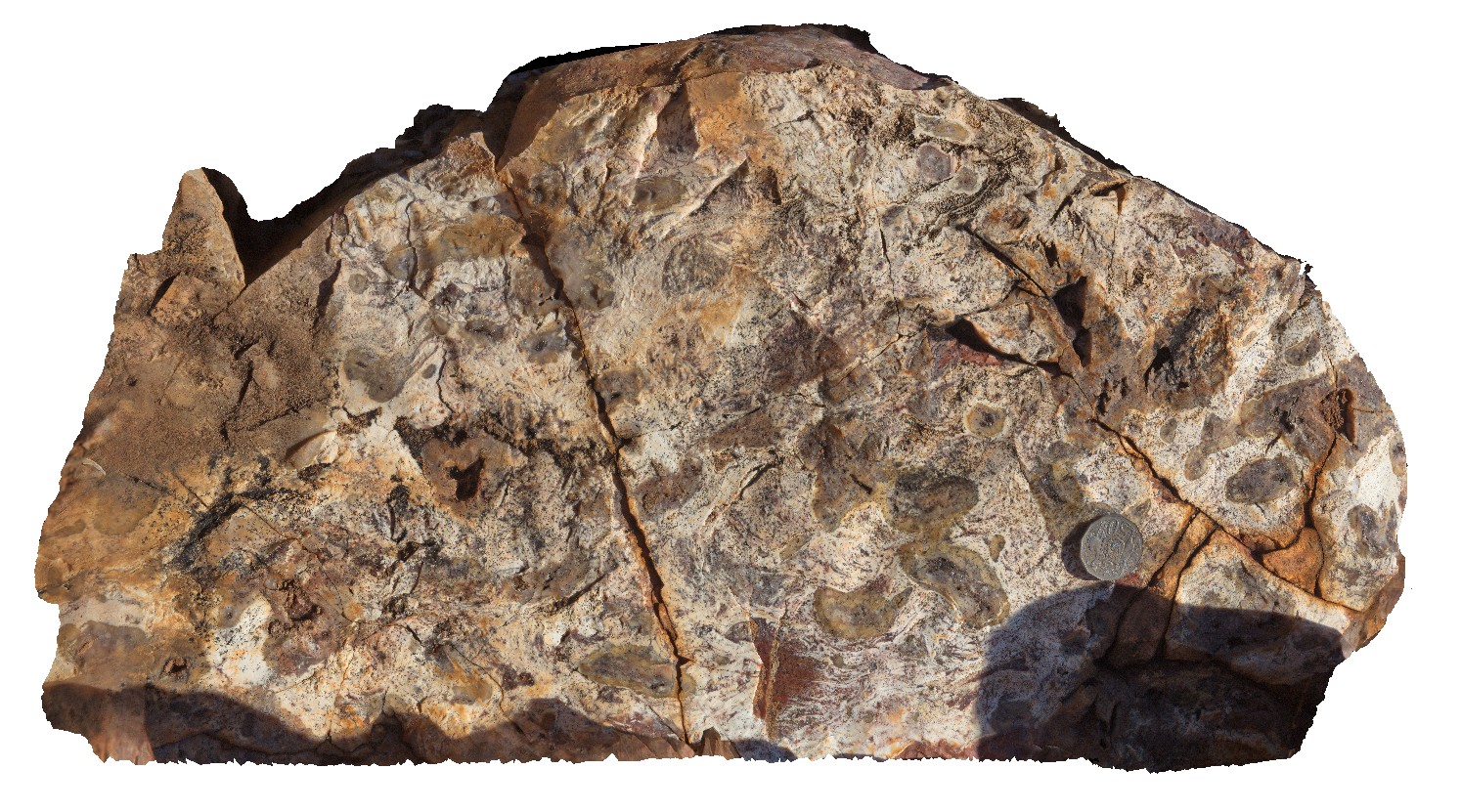
aerial view, showing access and shore entrance to the Woolshed Cave at Talia. Images shows geological unconformity between the Blue Range Beds and the overlying Bridgewater Formation. Talia. |
100.00 |
-33.32420000000 |
134.78483000000 |
-9999.000 |
unconformity, cave |
sandstone, sandstone |
AlbanyUAV1 Map
 |
0 |
01/01/9999 midnight |
UAV |
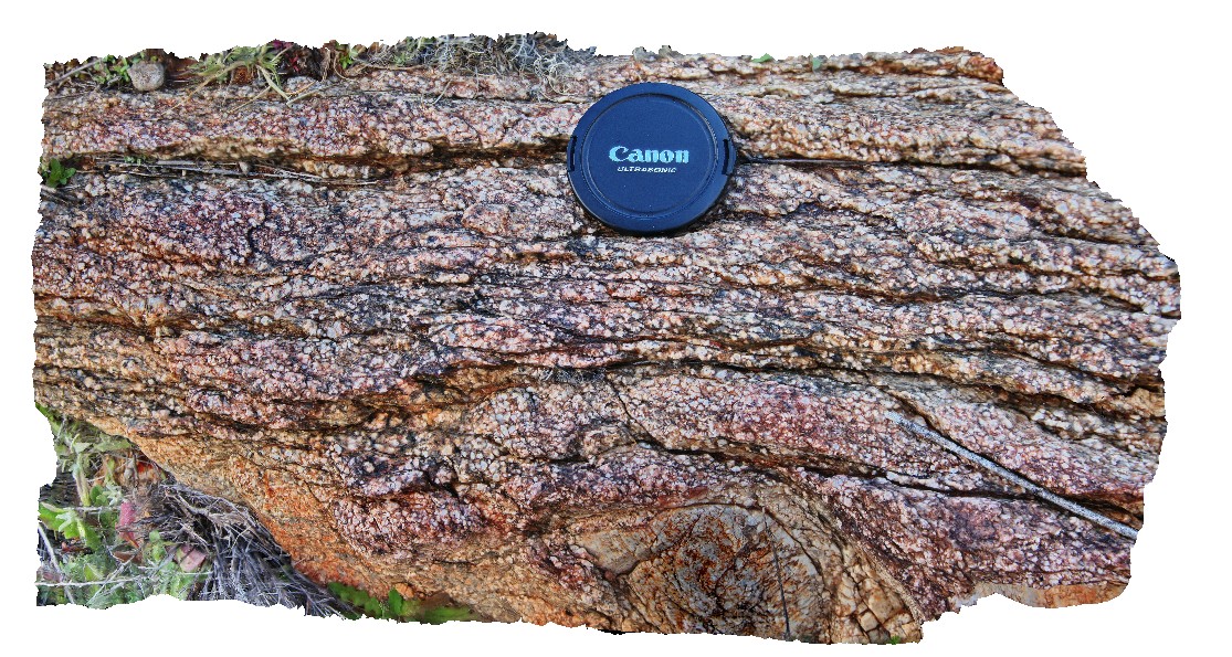
aerial view, showing complex relationships in granite. Porphyritic granite with 'quartzite' xenoliths intruded by grey 'granodiorite' all cut by thin pegmatite dykes. Albany, W.A. |
50.00 |
-35.08986000000 |
117.95056000000 |
-9999.000 |
granite, intrusive contact, xenolith |
granite, granodiorite, porphyry |
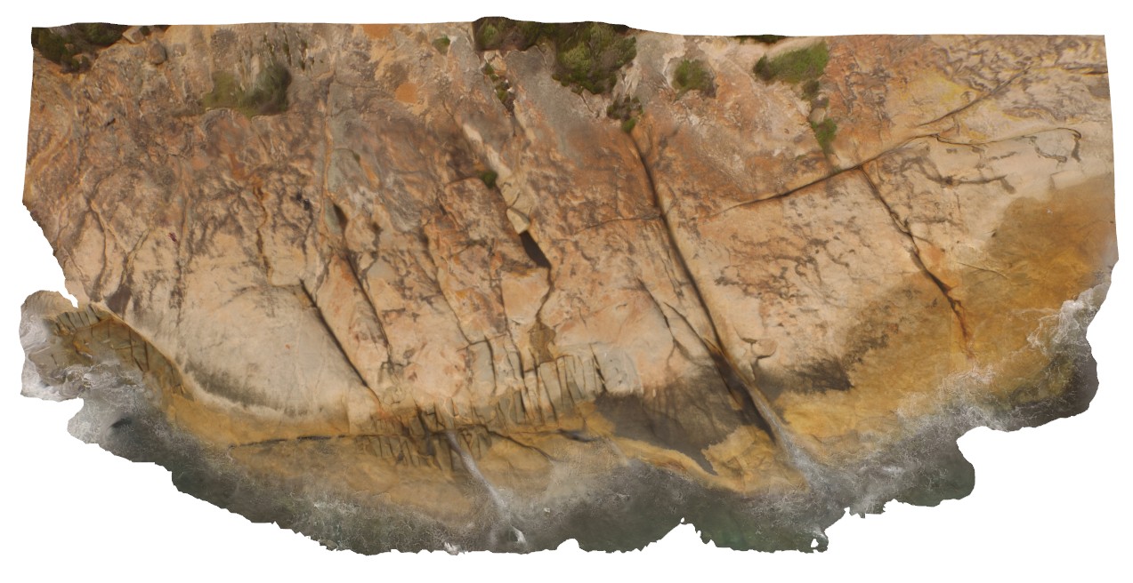
HarveysUAV1 Map
 |
0 |
10/20/2015 3:31 p.m. |
UAV |
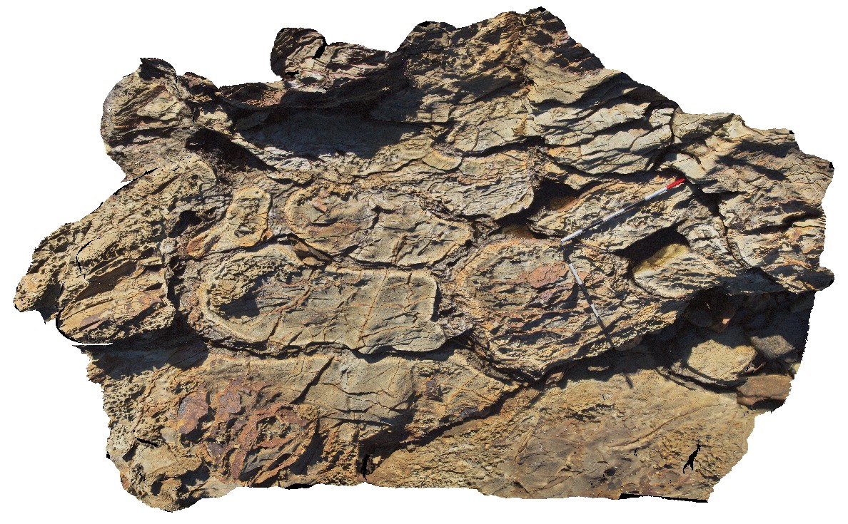
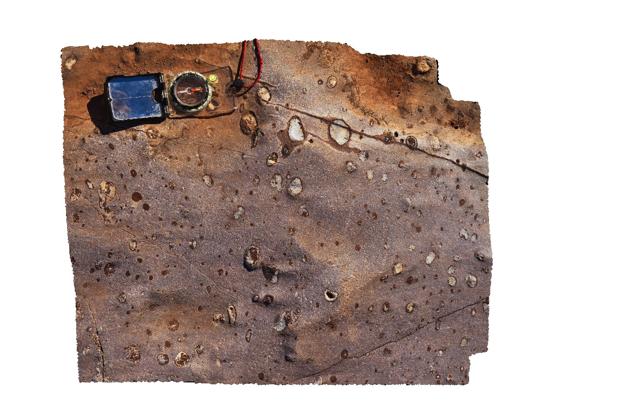
aerial view, showing moderately dipping 'zebra rock'. Harvey's Retreat. Kangaroo Island. S.A. |
100.00 |
-35.74834500000 |
136.63902300000 |
-9999.000 |
zebra rock |
sandstone |
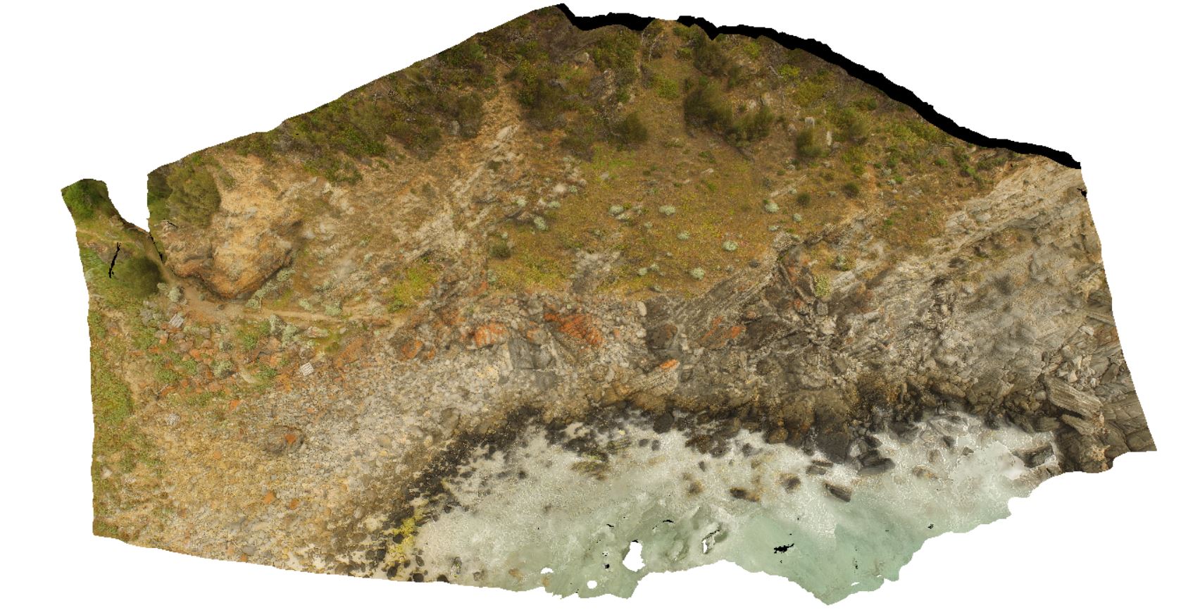
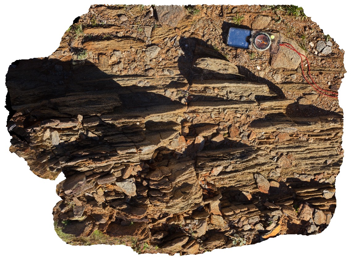
PenningtonUAV2 Map
 |
0 |
10/20/2015 3:34 p.m. |
UAV |
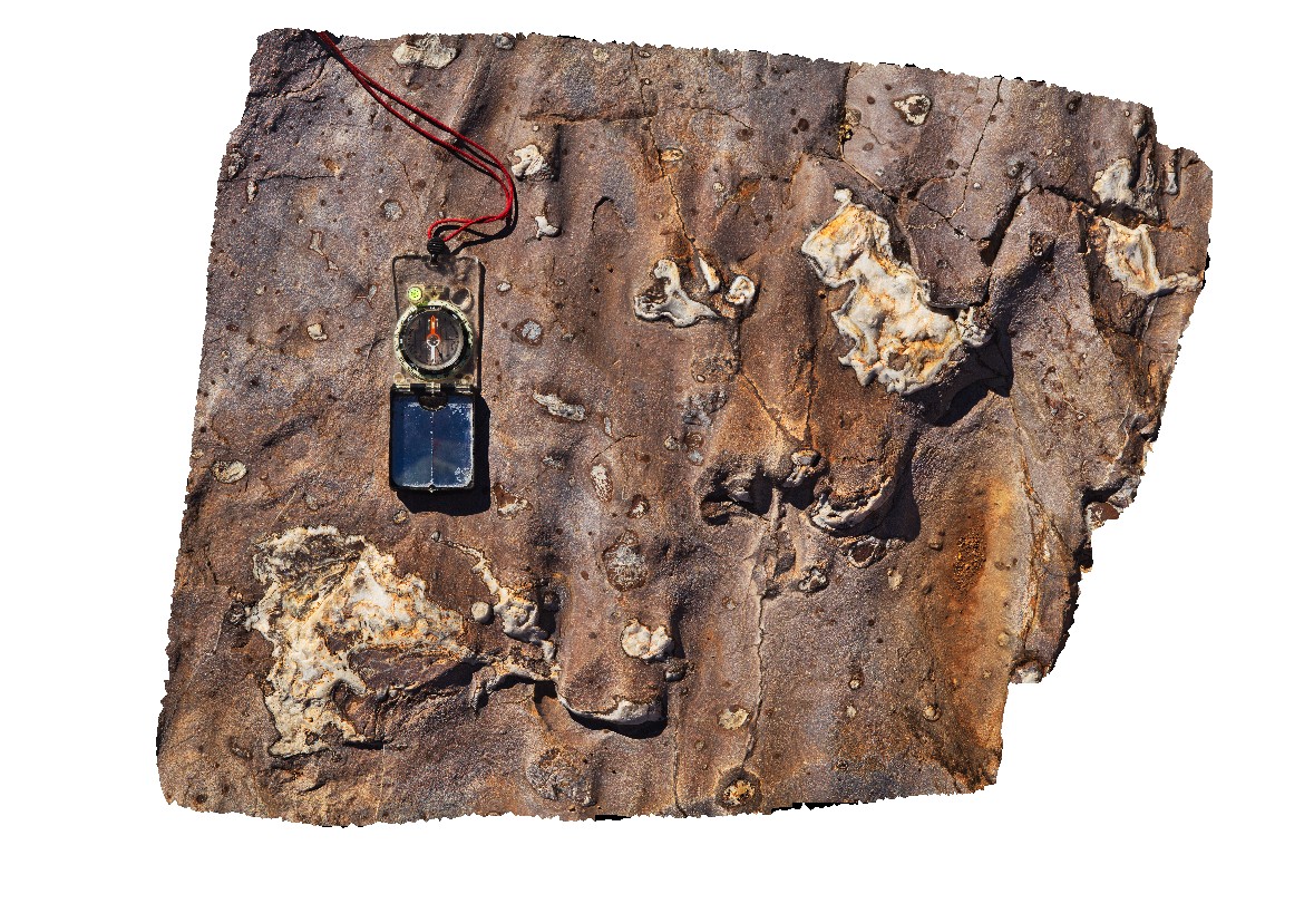
aerial view showing the Petrel Cove Formation of the Kanmantoo Trough overlain by the younger Bridgewater Formation. Pennington Bay, Kangaroo Island. |
500.00 |
-35.85948000000 |
137.73521600000 |
-9999.000 |
unconformity, sandstone, calcareous sandstone |
sandstone, sandstone |
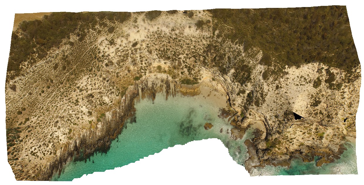
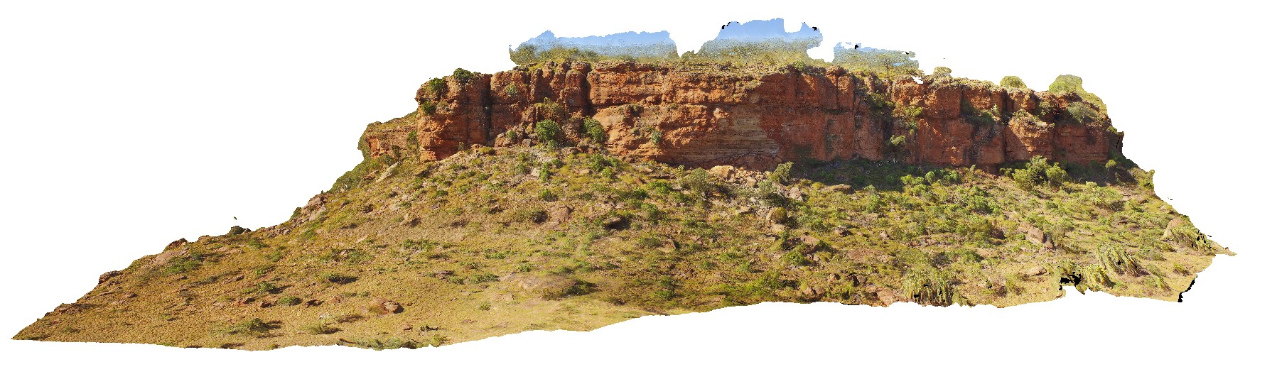
VictoriaDownsUAV1 Map
 |
0 |
06/19/2016 noon |
UAV |
aerial view through Jasper Gorge and sandstone cliff. Buchanan Highway, N.T. |
0.00 |
-16.02912000000 |
130.73447000000 |
-9999.000 |
sandstone, cliff, Jasper Gorge |
sandstone |
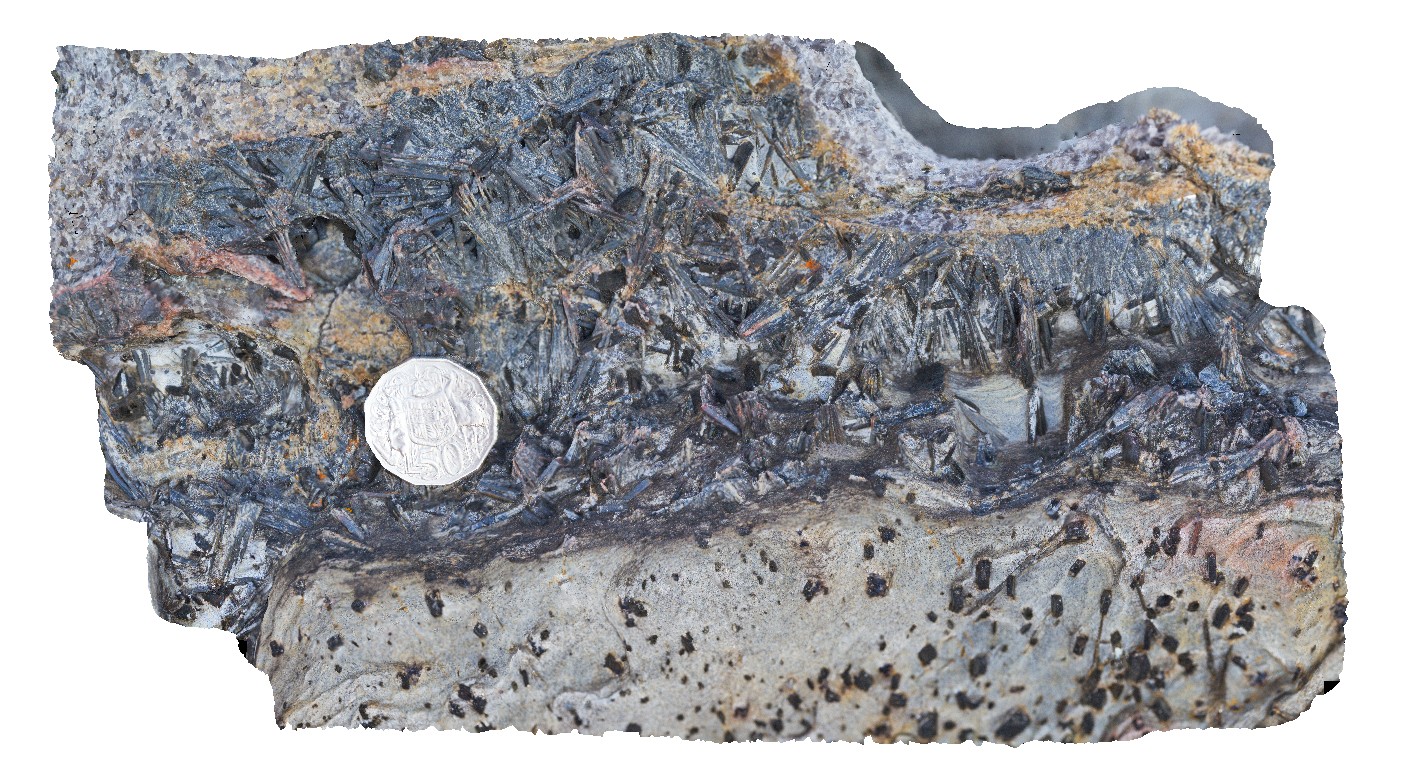
WestBeach7 Map
 |
0 |
06/05/2016 10:49 a.m. |
3D |
aggregates of black kyanite crystals in band of schist. West Beach, W.A. |
0.20 |
-33.95360000000 |
119.97449000000 |
-9999.000 |
kyanite, schist, metamorphic |
schist |
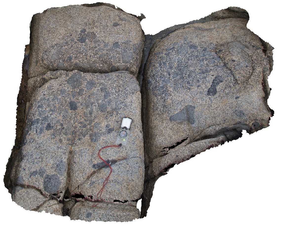
Bluestone21 Map
 |
0 |
02/25/2016 3:04 p.m. |
3D |
aggregation of mafic xenoliths / dismembered mafic dyke in granodiorite. Bluestone Bay, Tasmania. |
0.70 |
-42.10517000000 |
148.33447000000 |
-9999.000 |
xenolith, granodiorite |
granodiorite |
Olary29 Map
 |
5 |
07/14/2015 11:26 a.m. |
3D |
alteration zone, defined by tremolite? Veins and epidote and feldspar intense alteration. Olary. S.A. |
0.80 |
-32.17525000000 |
140.00250000000 |
-9999.000 |
alteration zone, epidote, feldspar |
metasediments |
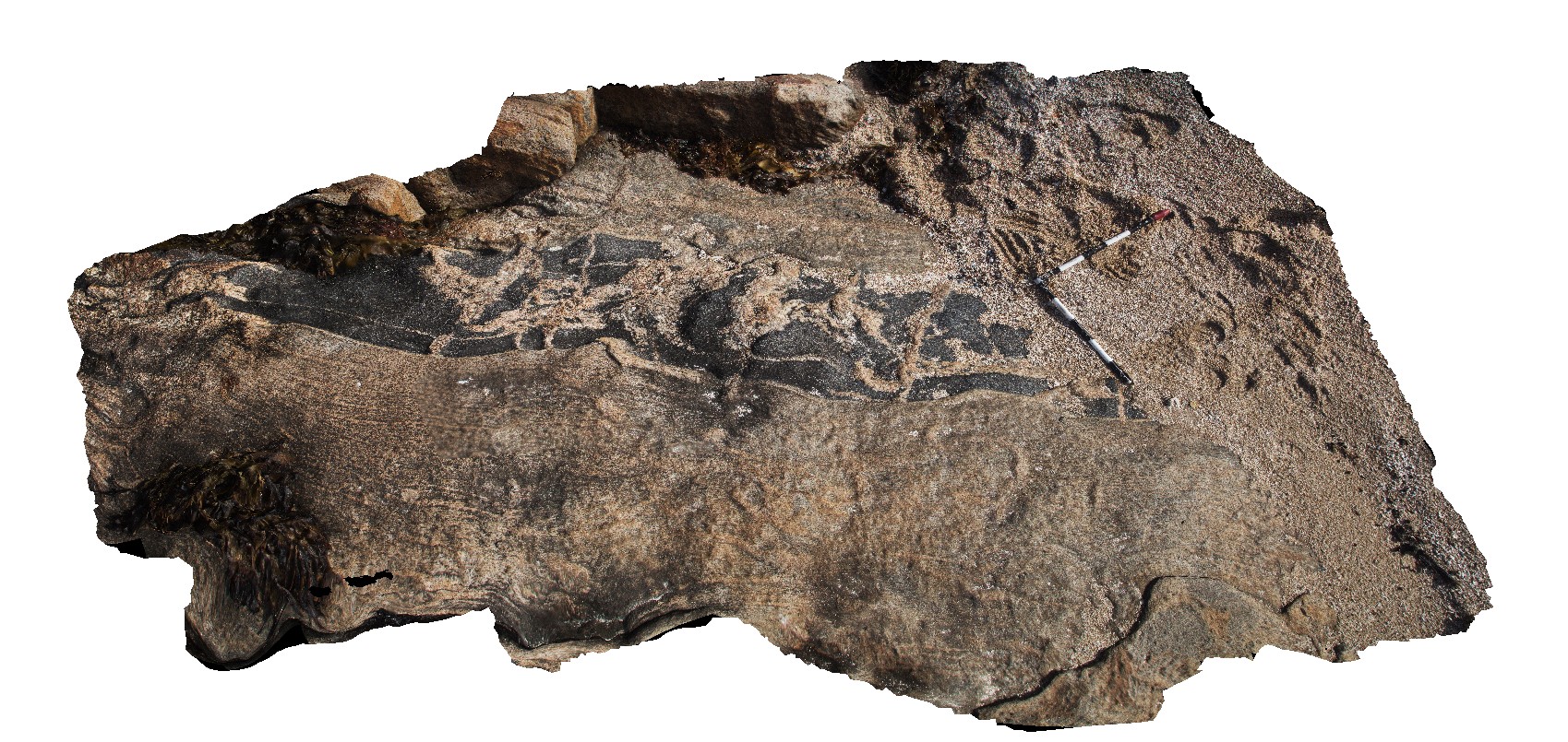
SulphurCreek10 Map
 |
5 |
01/01/9999 midnight |
3D |
altered pillow basalts, showing individual pillows and quench rims. Sulphur Creek, north Tas. |
2.10 |
-41.09169000000 |
146.02086000000 |
1.000 |
pillow basalt, pillow, lava, volcanic |
basalt |
Narooma4 Map
 |
5 |
05/18/2015 1:28 p.m. |
3D |
altered pillow basalts with clearly defined chilled margins. Narooma, N.S.W. |
3.00 |
-36.22147000000 |
150.14070000000 |
0.000 |
pillow basalt, volcanology, igneous |
basalt |
SulphurCreek1 Map
 |
5 |
03/16/2015 2:38 p.m. |
3D |
altered pillow basalts, with weathered pillow rims. Sulphur Creek, north Tas. |
3.50 |
-41.09074000000 |
146.01949000000 |
1.000 |
pillow basalt, pillow margin |
basalt |
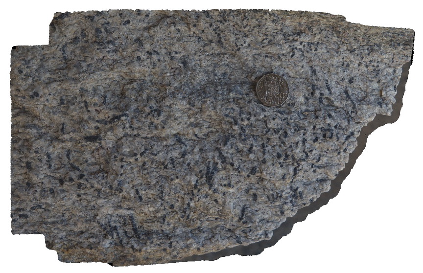
MtGipps48 Map
 |
0 |
06/30/2016 noon |
3D |
amphibolite facies metamorphic rocks, Mount Gipps, N.S.W. |
1.20 |
-31.61527000000 |
141.50130000000 |
-9999.000 |
amphibolite |
amphibolite |
MtGipps32 Map
 |
0 |
06/30/2016 noon |
3D |
amphibolite grade rocks, Mount Gipps, N.S.W. |
3.50 |
-31.61613000000 |
141.50101000000 |
-9999.000 |
amphibolite grade rocks |
amphibolites |
MtGipps33 Map
 |
0 |
06/30/2016 noon |
3D |
amphibolite grade rocks, Mount Gipps, N.S.W. |
1.00 |
-31.61614000000 |
141.50099000000 |
-9999.000 |
amphibolite facies |
amphibolite |
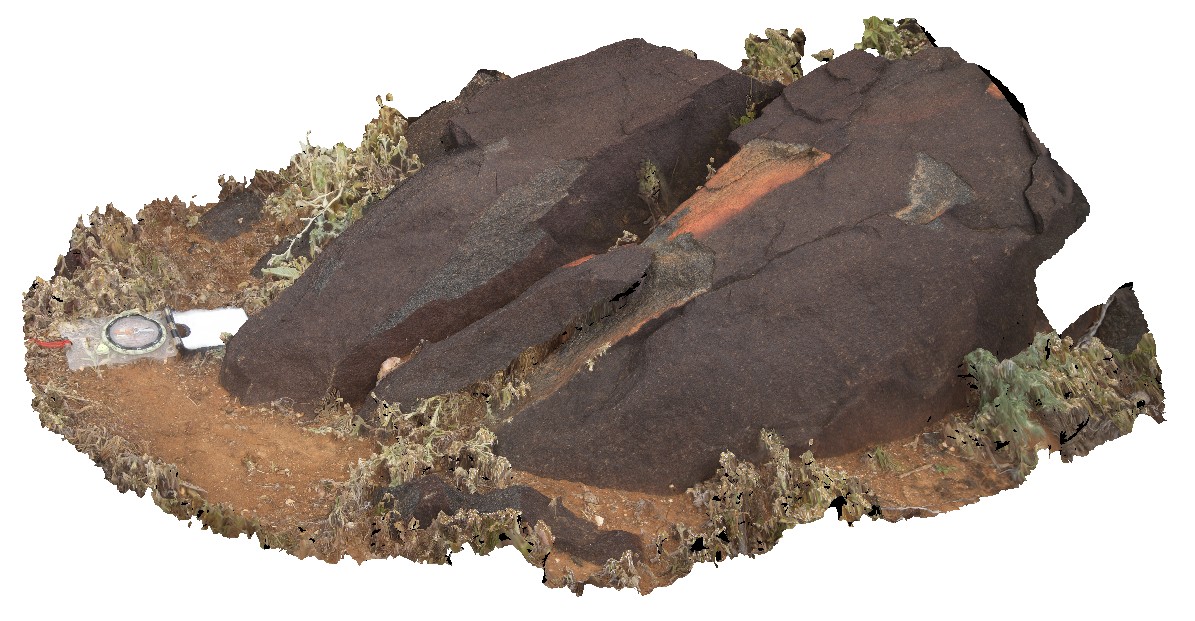
ElephantRock5 Map
 |
0 |
05/15/2016 noon |
3D |
amphibolite layer that has been boudinaged and intruded by pegmatite and then shortened and folded. Elephant Rock, W.A. |
3.80 |
-34.27082000000 |
115.03548000000 |
-9999.000 |
structure, folding, boudinage |
gneiss |
MtGipps58 Map
 |
5 |
01/01/9999 midnight |
3D |
amphibolite. Mount Gipps, N.S.W. |
1.00 |
-31.61617700000 |
141.50102700000 |
-9999.000 |
metamorphic, amphibolite |
amphibolite |
Camfield3 Map
 |
0 |
06/21/2016 noon |
3D |
amygdales with microcrystalline quartz rims and crystalline quartz cores within flow-banded volcanics. Camfield, Buntine Highway, N.T. |
0.40 |
-17.10718000000 |
131.28769000000 |
-9999.000 |
amygdales, flow-banded volcanics |
volcanics |
EPilbara33 Map
 |
0 |
06/01/2016 noon |
3D |
Amygdaloidal basalt with opaline silica infill. Hillside-Marble Bar Road, East Pilbara, W.A. |
0.55 |
-21.35107000000 |
119.61578000000 |
-9999.000 |
amygdales, basalt flow |
basalt |
EPilbara34 Map
 |
0 |
06/01/2016 noon |
3D |
Amygdaloidal basalt with opaline silica infill. Hillside-Marble Bar Road, East Pilbara, W.A. |
0.60 |
-21.35101000000 |
119.61575000000 |
-9999.000 |
Amygdaloidal basalt, opaline silica, basalt flow |
basalt |
BH2014n16 Map
 |
20 |
03/24/2015 2:50 p.m. |
3D |
anastomosing cleavage in quartz pegmatite Broken Hill, N.S.W. |
0.40 |
-31.61771255000 |
141.49431190000 |
-9999.000 |
anastomosing cleavage, structure, pegmatite |
pegmatite |
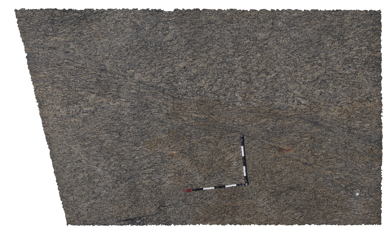
Wanna6 Map
 |
0 |
10/20/2015 4:55 p.m. |
3D |
anastomosing shear zone in granite gneiss. Wanna, Port Lincoln. |
3.50 |
-34.89263000000 |
135.84358000000 |
-9999.000 |
anastomosing, shear zone |
granite gneiss |
Wanna1 Map
 |
0 |
10/20/2015 4:52 p.m. |
3D |
anastomosing shear zones in granitic gneiss, Wanna, Port Lincoln. |
2.20 |
-34.89307000000 |
135.85384000000 |
-9999.000 |
shear zone, granitic gneiss |
granite gneiss |
Coles2 Map
 |
0 |
11/06/2015 8:29 a.m. |
3D |
andalusite porphyroblast. Coles Point. S.A. |
0.25 |
-34.38047000000 |
135.36452000000 |
-9999.000 |
andalusite, porphyroblast, metamorphic |
gneiss |
GibbRiver1 Map
 |
0 |
06/05/2016 noon |
3D |
andalusite porphyroblasts in pelitic schist, Gibb River Road, near Napier Downs Airport. W.A. |
0.45 |
-17.32181000000 |
124.83582000000 |
-9999.000 |
andalusite, pelitic schist, porphyroblast |
pelitic schist |
MtBlairUAV1 Map
 |
0 |
05/28/2016 noon |
UAV |
angular Ashburton-Capricorn unconformity, with open folds in the Ashburton rocks. Near Mount Blair on the Ashburton - Meekatharra Road, W.A. |
0.00 |
-23.44284800000 |
117.13132500000 |
-9999.000 |
angular unconformity, Ashburton-Capricorn unconformity |
siltstone, siltstone |