BH2011n5 Map
 |
20 |
04/17/2015 11:47 a.m. |
3D |
multiply folded quartz vein intruding fine-grained metasediments. Broken Hill, N.S.W. |
2.00 |
-31.63604914000 |
141.53520384000 |
-9999.000 |
fold, structure, complex folding |
metasediment |
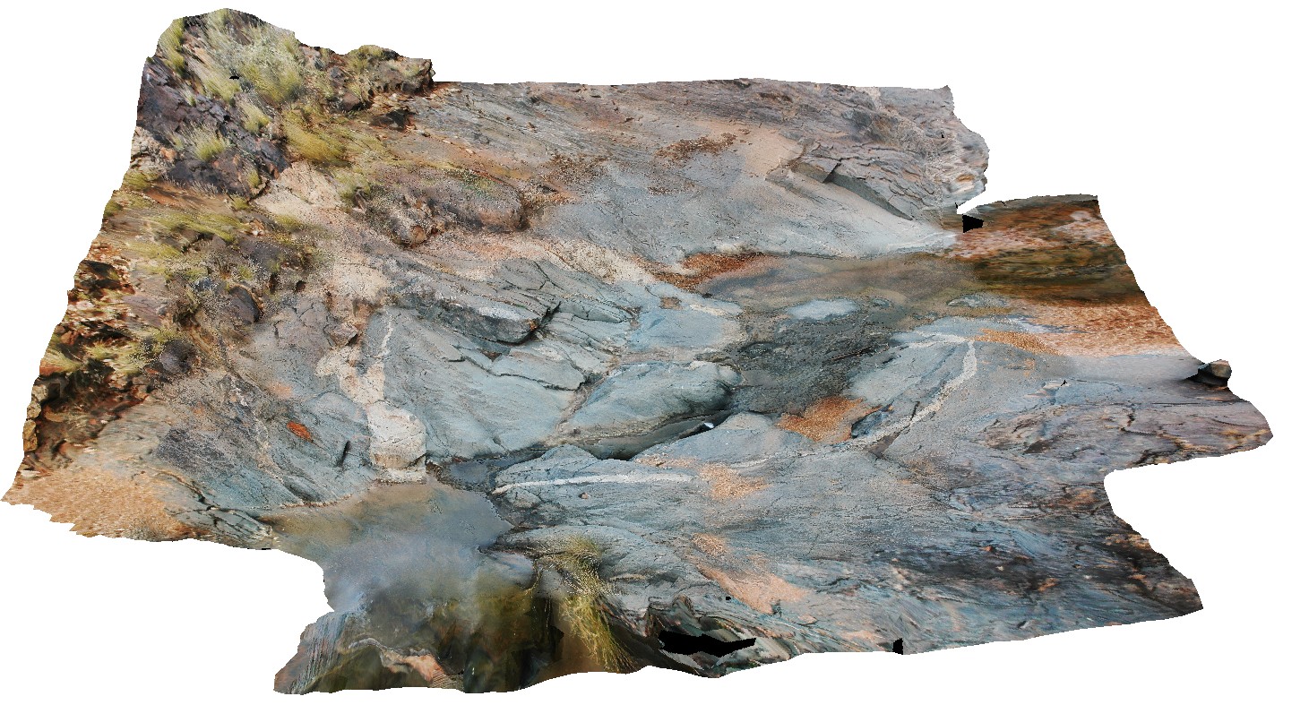
BH2011n4 Map
 |
20 |
04/17/2015 11:37 a.m. |
3D |
shallow basin folding in metasediments. Broken Hill, N.S.W. |
5.00 |
-31.63580894000 |
141.53475285000 |
-9999.000 |
basin folding, fold, structure |
metasediments |
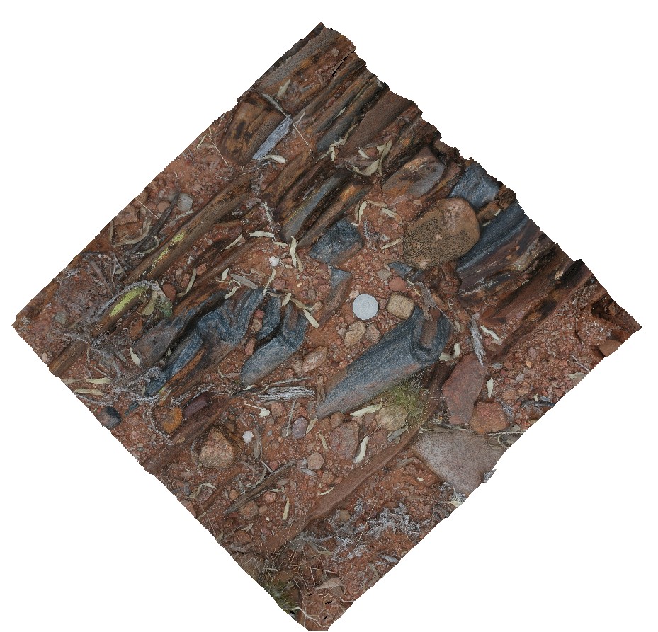
BH2011n3 Map
 |
20 |
03/16/2015 2:54 p.m. |
3D |
moderately plunging parasitic folds in quartzite layer. Broken Hill, N.S.W. |
0.50 |
-31.63595890000 |
141.53825045000 |
-9999.000 |
fold plunge, parasitic fold, metasediments, structure |
metasediment |
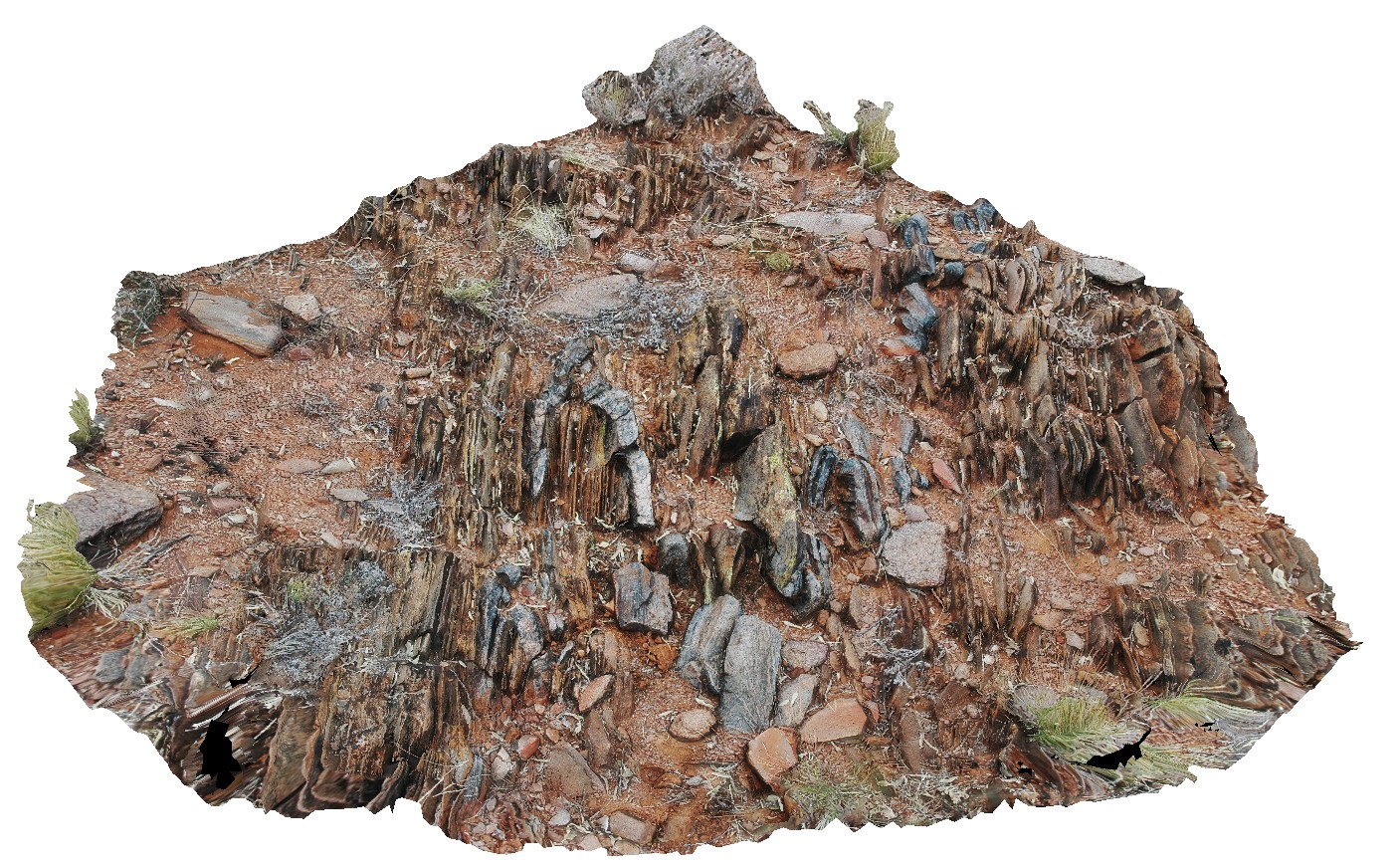
BH2011n2 Map
 |
20 |
03/16/2015 2:54 p.m. |
3D |
moderately plunging, tight folds in thinly bedded quartzite and mudstones metasediments. Strong cleavage also evident. Broken Hill. N.S.W. |
1.00 |
-31.63628271000 |
141.53839687000 |
-9999.000 |
fold plunge, tight fold, fold, structure, metasediments, cleavage |
metasediments |
BH2011n14 Map
 |
20 |
03/16/2015 2:54 p.m. |
3D |
view of metasediment with strongly developed S-C fabric. Broken Hill, N.S.W. |
2.00 |
-31.63442634000 |
141.54044540000 |
-9999.000 |
S - C fabric, structure, metasediment |
metasediment |
BH2011n13 Map
 |
20 |
03/16/2015 2:54 p.m. |
3D |
tight to isoclinal, inclined and steeply plunging fold in psammites. Broken Hill, N.S.W. |
5.00 |
-31.64525745000 |
141.53586586000 |
-9999.000 |
fold hinge, tight fold, isoclinal fold, fold plunge, structure, psammite, inclined fold |
psammite |
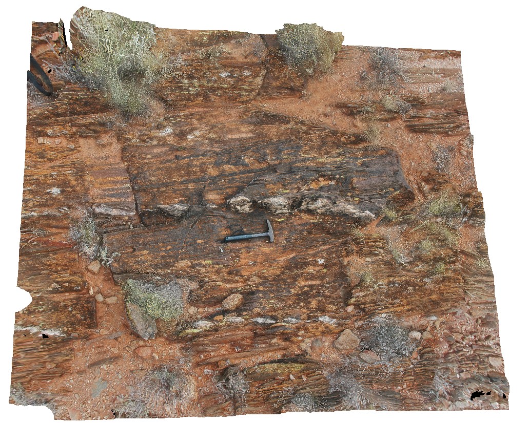
BH2011n12 Map
 |
20 |
03/16/2015 2:53 p.m. |
3D |
boudinaged quartz veins in metasediments. Broken Hill, N.S.W. |
2.50 |
-31.63409414000 |
141.54039789000 |
-9999.000 |
boudinage, metasediment, structure |
metasediment |
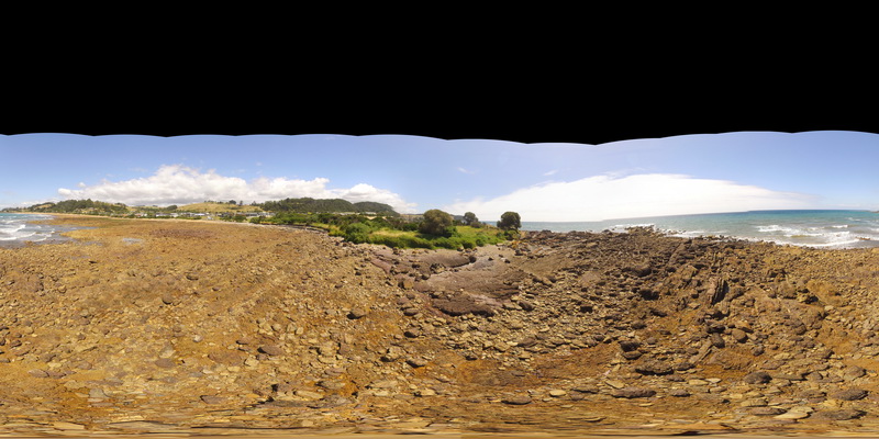
HallPointFSP4 Map
 |
20 |
01/01/9999 midnight |
FSP |
basal Ordovician unconformity with underlying folded Precambrian quartzite. Hall Point, Sulphur Creek. Tasmania. |
300.00 |
-41.09298700000 |
146.02833200000 |
1.000 |
unconformity, metasediments |
quartzite, conglomerate |
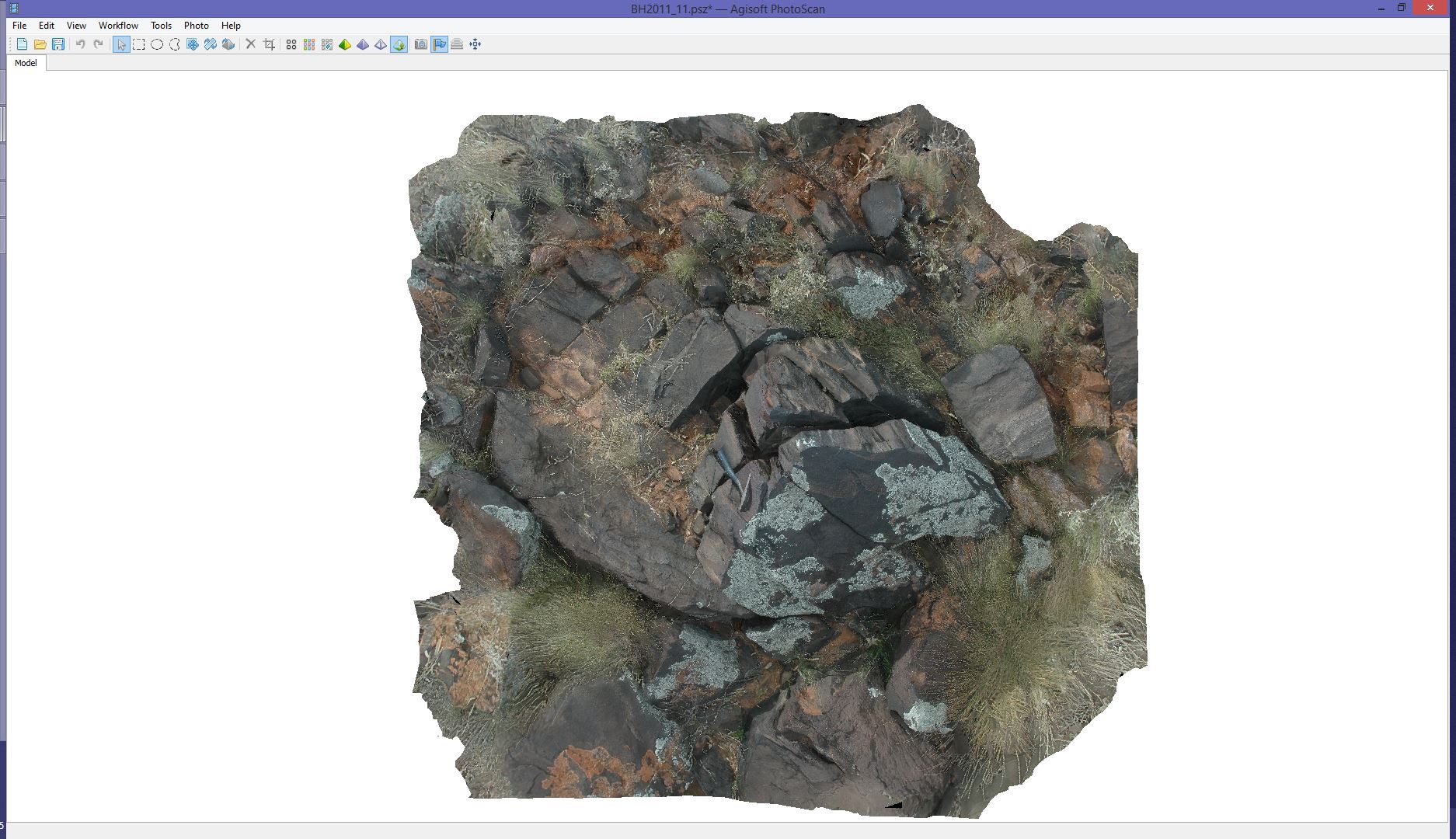
BH2011n11 Map
 |
20 |
09/14/2015 10:35 a.m. |
3D |
view of metadacite / fine-grained gneiss. Broken Hill, N.S.W. |
3.00 |
-31.64335967000 |
141.54101707000 |
-9999.000 |
metadacite |
gneiss |
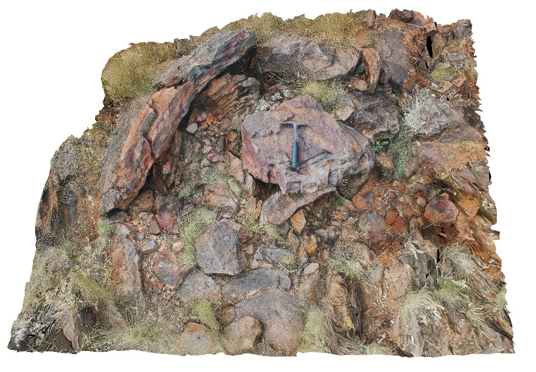
BH2011n10 Map
 |
20 |
03/16/2015 2:53 p.m. |
3D |
view of preserved dome in metasediments. Broken Hill, N.S.W. |
3.00 |
-31.64098561000 |
141.54132199000 |
-9999.000 |
dome, fold, metasediment, structure |
metasediment |
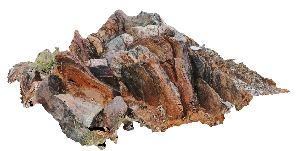
BH2011n1 Map
 |
20 |
03/16/2015 2:53 p.m. |
3D |
tightly folded and moderately plunging folds in Hores Gneiss. Broken Hill, N.S.W. |
0.80 |
-31.63547118000 |
141.53853471000 |
-9999.000 |
gneiss, tight fold, fold, structure |
gneiss |
BH2013Adelaidean2 Map
 |
20 |
03/24/2015 5:49 p.m. |
3D |
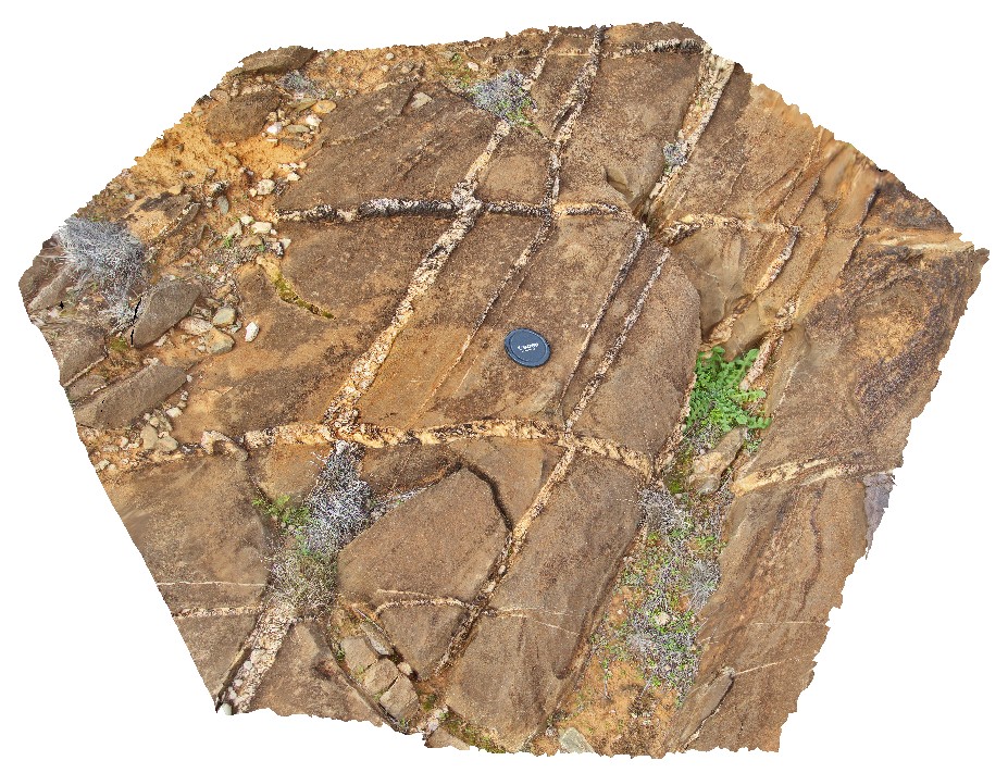
cross bedded sandstone pavement with sheeted vein sets. First set of bucky quartz veins are off-set by second set, with apparent sinistral movement direction and growth of quartz within the veins. Broken Hill, N.S.W. |
0.50 |
-31.59924614000 |
141.59926357000 |
-9999.000 |
sinistral movement, quartz vein, direction indicators, structure, sheeted veins |
sandstone |
HalfwayHillUAV1 Map
 |
20 |
01/01/9999 midnight |
UAV |
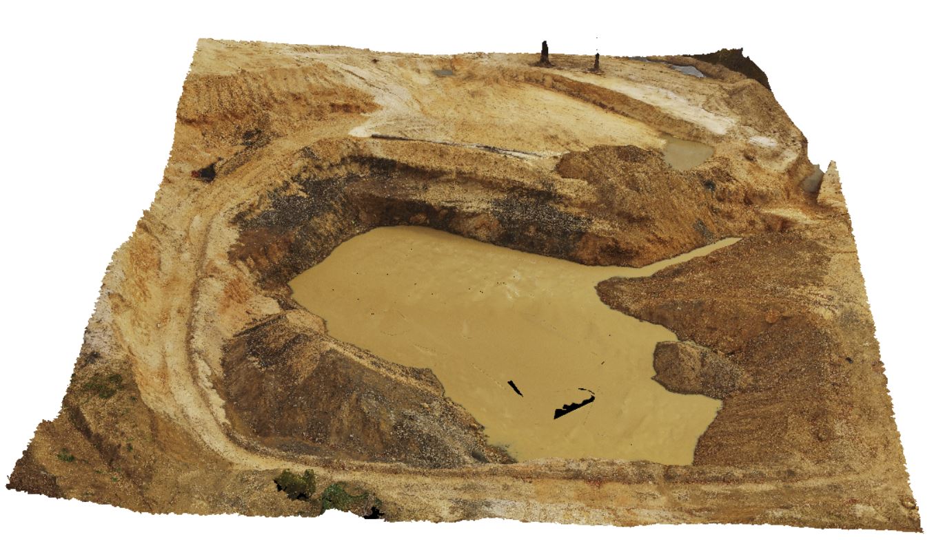
Tertiary basaltic diatreme in Devonian Granite. Halfway Hill quarry, Tas. |
100.00 |
-41.23063900000 |
148.16098600000 |
245.000 |
diatreme, Tertiary basalt, Devonian granite, intrusion |
granite, basalt |
Coffin1 Map
 |
20 |
10/29/2015 8:55 a.m. |
3D |
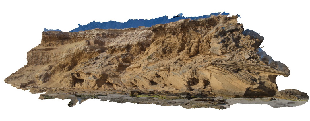
beach exposure showing cross-bedded calcareous sand and calcarenite? Point Avoid. S.A. |
10.00 |
-34.68882700000 |
135.32904100000 |
-9999.000 |
cross-bedding, calcareous sand, calcarenite |
calcarenite |
KirtonUAV3 Map
 |
20 |
10/20/2015 3:08 p.m. |
UAV |
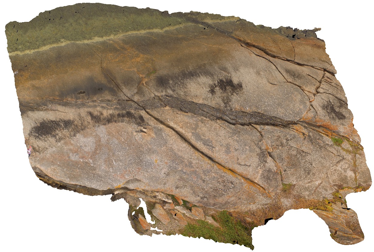
View of mafic dykes intruding granitic gneiss host rock. Kirton Point, Port Lincon. S.A. |
20.00 |
-34.72473000000 |
135.88480000000 |
-9999.000 |
mafic dyke, granitic gneiss, intrusive contact |
granitic gneiss, amphibolite |
KirtonUAV2 Map
 |
20 |
10/20/2015 3:08 p.m. |
UAV |
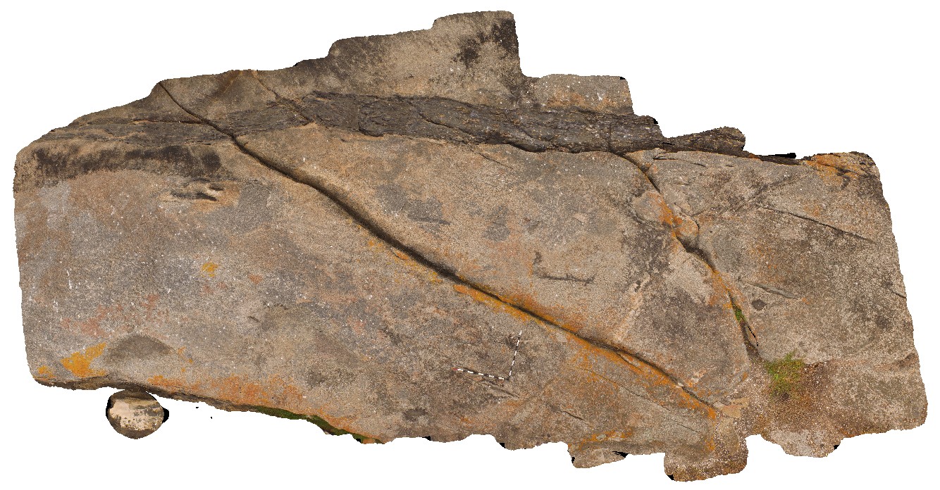
aerial view of mafic dyke in granitic gneiss. Kirton Point. Port Lincoln. S.A. |
7.00 |
-34.72473000000 |
135.88480000000 |
-9999.000 |
mafic dyke, granitic gneiss, intrusive contact |
granitic gneiss, amphibolite |
KirtonUAV1 Map
 |
20 |
10/20/2015 3:07 p.m. |
UAV |
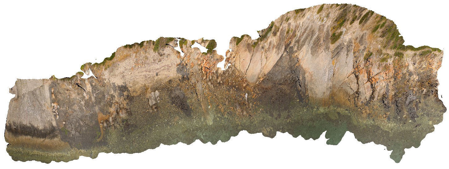
aerial view of exposed shore platform, showing Kirton Point and the Colbert Granite/ granite gneiss, with mafic intrusives? Port Lincoln. S.A. |
300.00 |
-34.72473000000 |
135.88480000000 |
-9999.000 |
granite gneiss |
granite |
Wilka14 Map
 |
20 |
09/27/2015 5:10 p.m. |
3D |
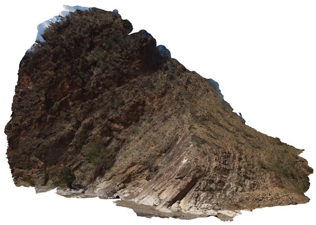
out crop of moderately dipping beds showing the contact between the Rownsley Quartzite and the Wilkawillina Limestone. Wilkawillina Trail, Flinders Ranges. |
20.00 |
-31.30021000000 |
138.90201000000 |
-9999.000 |
geological contact |
quartzite, limestone |
BrachinaUAV3 Map
 |
20 |
04/22/2016 11:02 a.m. |
FSP |
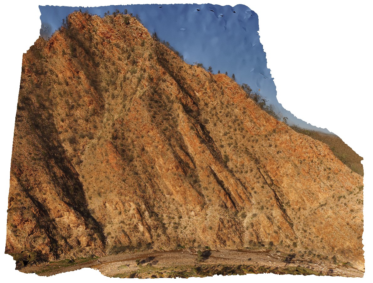
View of surrounding Rawnsley Quartzite from hill above Brachina Gorge Road. S.A. |
1000.00 |
-31.34426900000 |
138.55557900000 |
-9999.000 |
sedimentology |
quartzite |
BrachinaUAV2 Map
 |
20 |
04/20/2016 4:10 p.m. |
FSP |
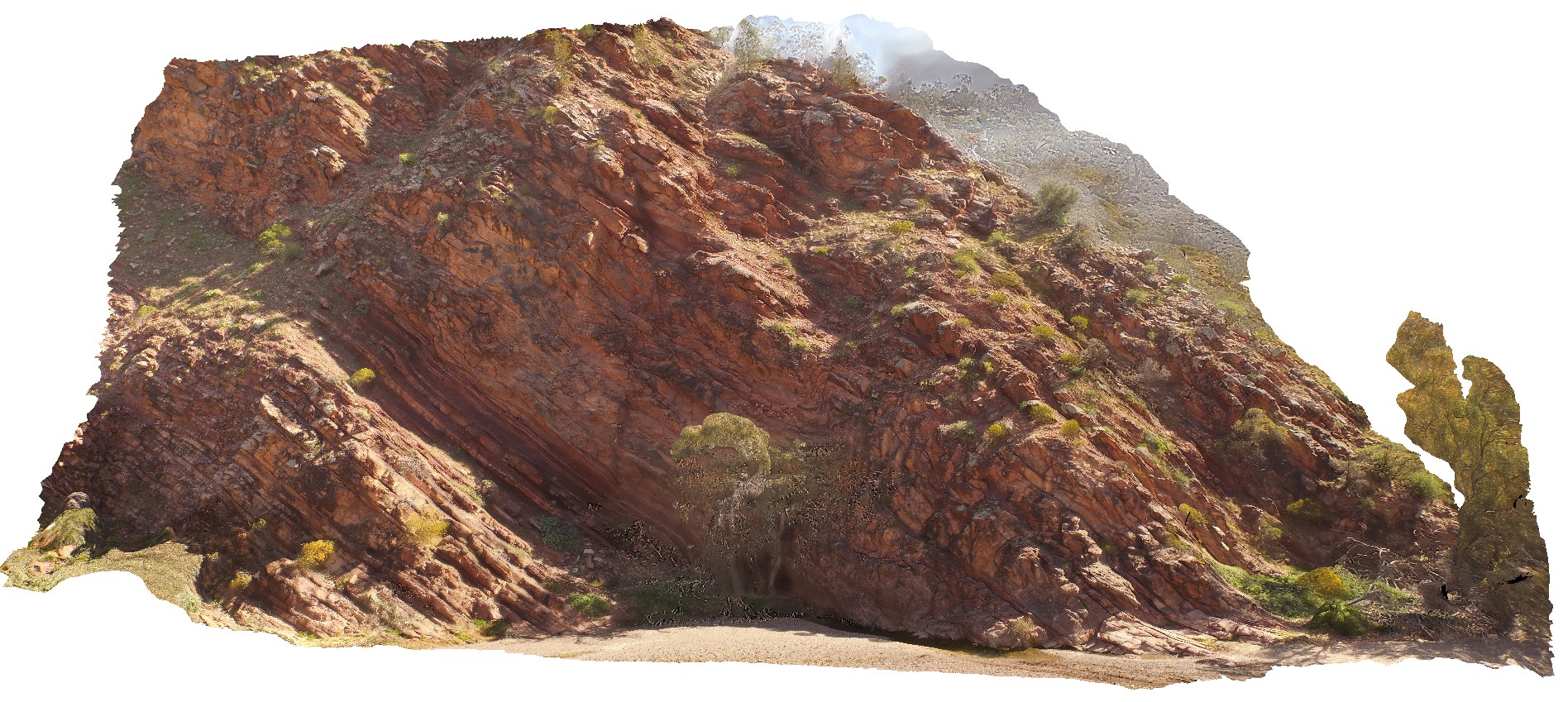
view of cliff exposure of the Bonney Sandstone, showing gently folded, moderately dipping stratigraphy. Brachina Gorge. S.A. |
100.00 |
-31.33480600000 |
138.56632900000 |
-9999.000 |
bedding, sedimentology |
sandstone |
PicnicPtUAV1 Map
 |
20 |
01/01/9999 midnight |
UAV |
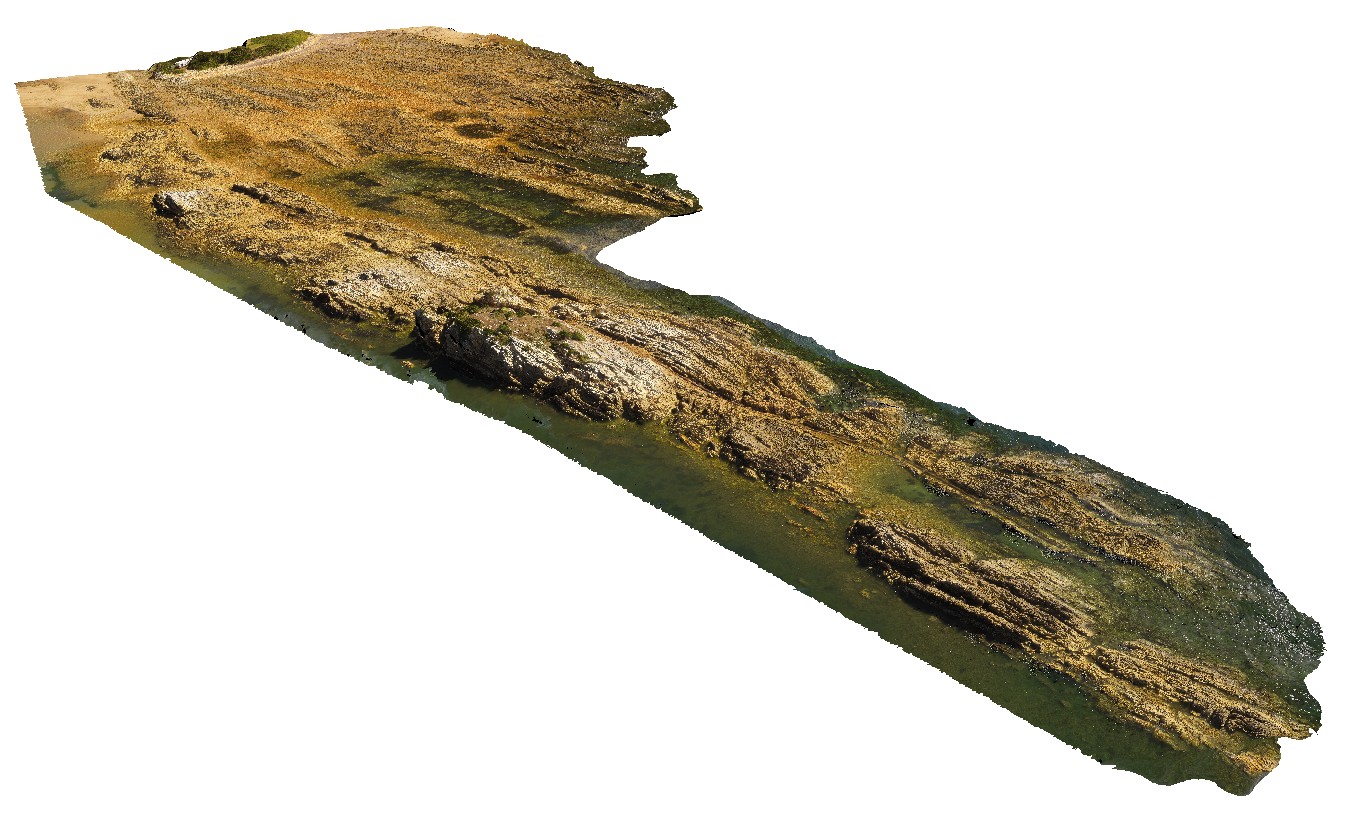
aerial view of Ulverstone metamorphics, showing folded bedding traces. Ulverstone Tasmania. |
641.00 |
-41.14010200000 |
146.16233400000 |
2.500 |
metasediments |
metasediments |
HallPointFSP2 Map
 |
20 |
01/01/9999 midnight |
FSP |
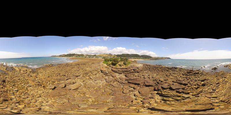
basal Ordovician unconformity with underlying folded Precambrian quartzite. Hall Point, Sulphur Creek. Tasmania. |
500.00 |
-41.09298700000 |
146.02833200000 |
1.000 |
unconformity |
quartzite, conglomerate |
HallPointFSP3 Map
 |
20 |
01/01/9999 midnight |
FSP |
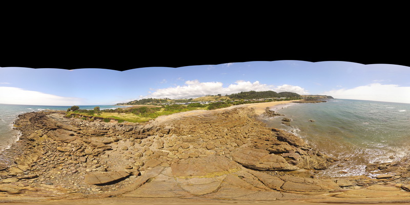
basal Ordovician unconformity with underlying folded Precambrian quartzite. Hall Point, Sulphur Creek. Tasmania. |
500.00 |
-41.09298700000 |
146.02833200000 |
1.000 |
unconformity, metasediments |
quartzite, conglomerate |
NewcastleUAV1 Map
 |
20 |
01/01/9999 midnight |
UAV |
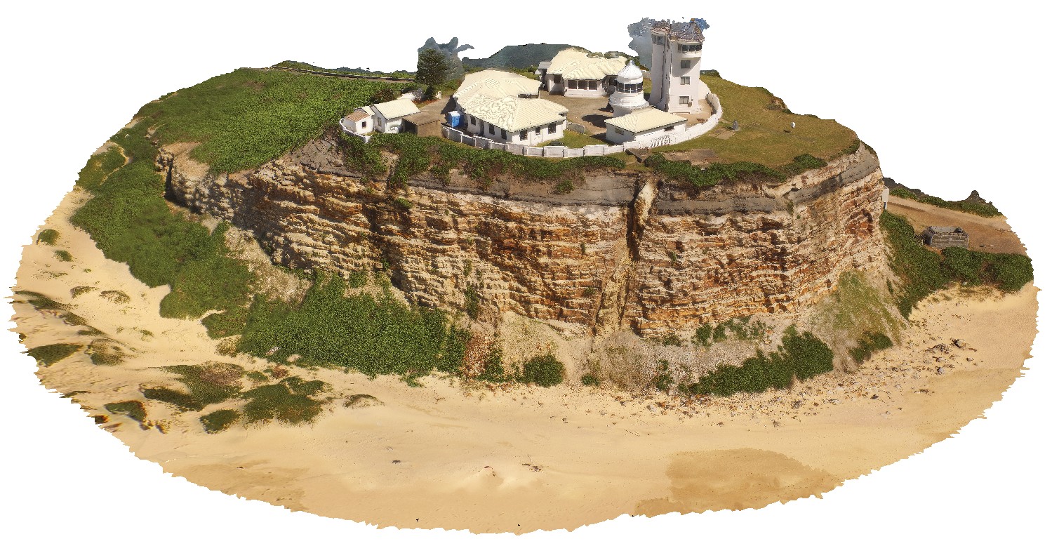
Nobbys headland with dyke and Nobbys Tuff in cliff face. Newcastle, N.S.W. |
500.00 |
-32.91871800000 |
151.79890100000 |
42.300 |
tuff, dyke, sedimentology |
tuff, igneous rock |
MarbleBarFSP4 Map
 |
20 |
06/01/2016 noon |
FSP |
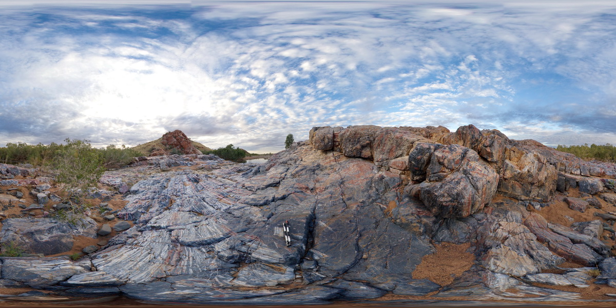
view of grey, homogenous chert intruding and brecciating banded chert of the Marble Bar. Marble Bar, W.A. |
1000.00 |
-21.18663000000 |
119.71176000000 |
-9999.000 |
breccia, chert, Marble Bar Chert Member |
chert |


