WTasFSP38 Map
 |
5 |
01/01/9999 midnight |
FSP |
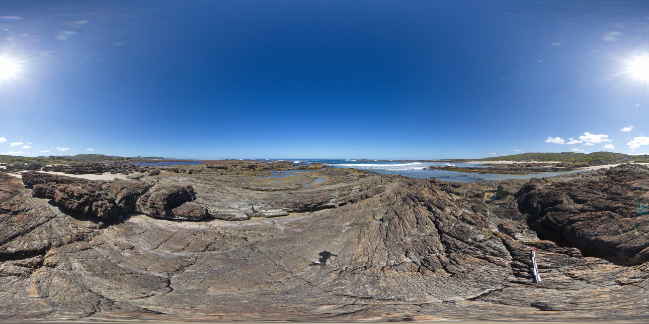
shallowly dipping, thinly bedded sandstones and siltstones. Duck Creek, west coast, Tasmania. |
1000.00 |
-41.76782000000 |
145.00378000000 |
-9999.000 |
dip, structure, sedimentology |
sandstone |
WTasFSP37 Map
 |
5 |
01/01/9999 midnight |
FSP |
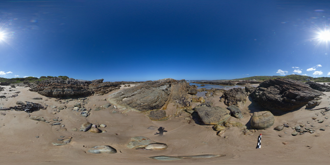
'M' folding in thinly bedded sediments. Duck Creek, west coast, Tasmania. |
1000.00 |
-41.76770000000 |
145.00414000000 |
-9999.000 |
fold, structure, M fold |
sandstone |
WTasFSP44 Map
 |
5 |
01/01/9999 midnight |
FSP |
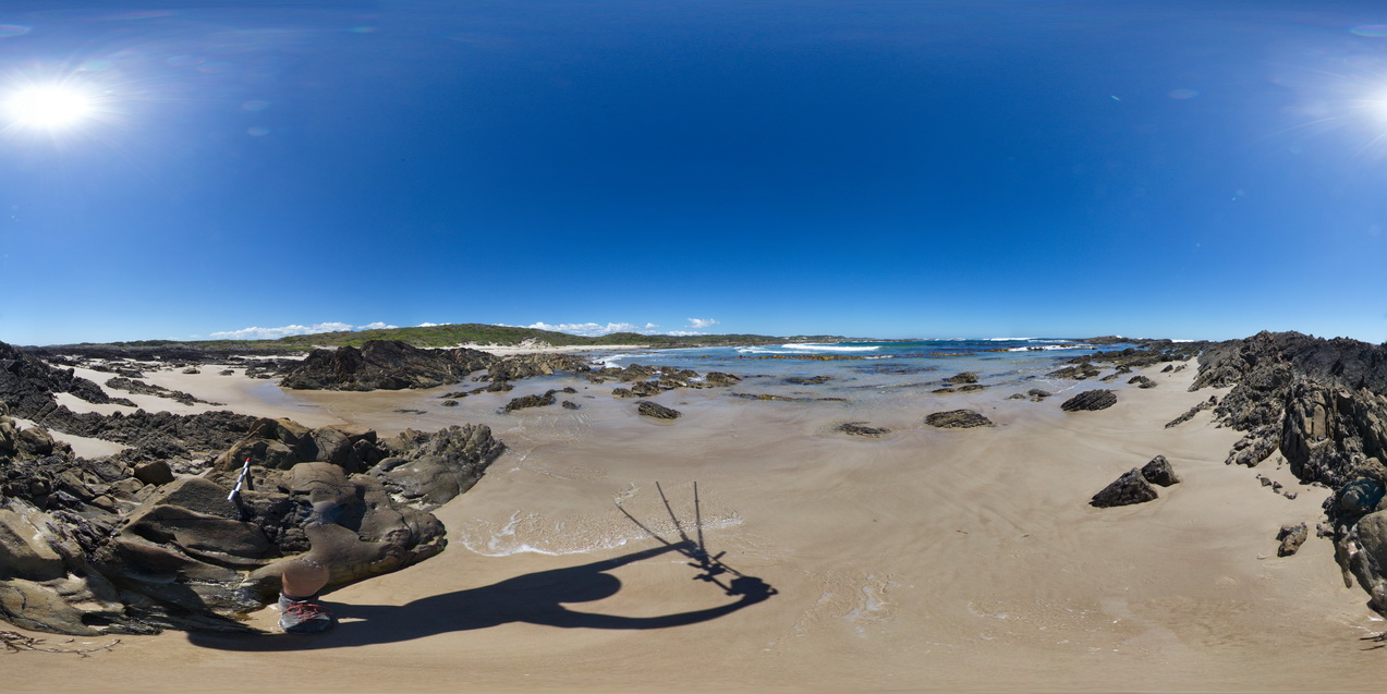
moderately dipping bedded sandstones of the Eldon Group. North of Duck Creek, west coast, Tasmania. |
1000.00 |
-41.76666000000 |
145.00233000000 |
-9999.000 |
dip, structure |
sandstone |
EPilbaraFSP8 Map
 |
0 |
06/01/2016 noon |
FSP |
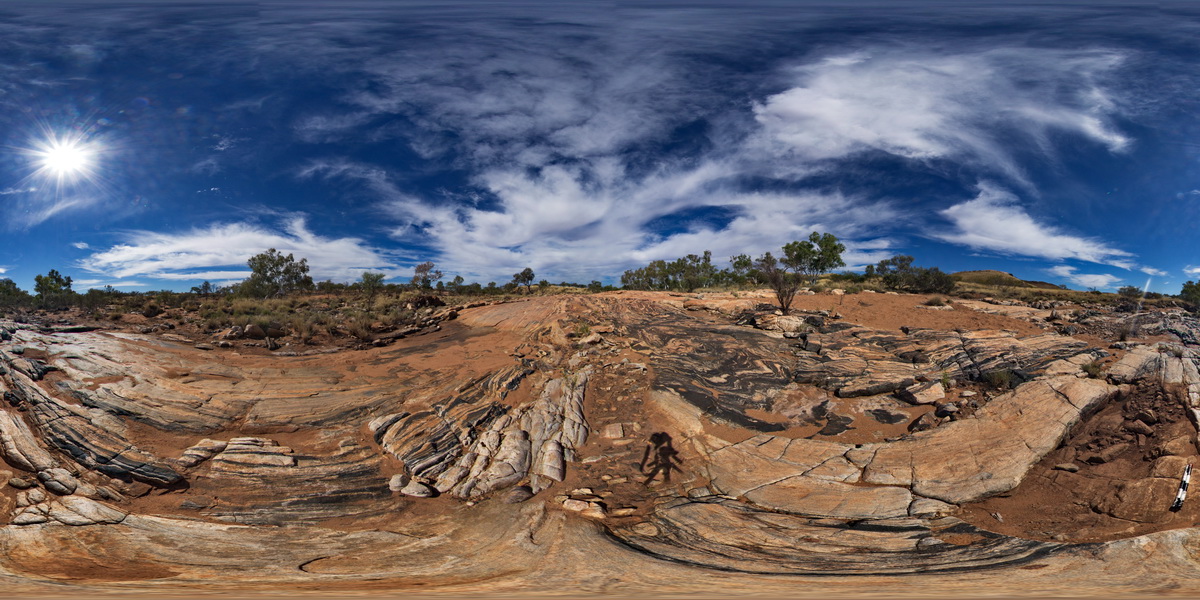
view of folded and faulted amphibolite bands in granitic gneiss pavement. Woodstock - Rocky Island Road, East Pilbara, W.A. |
1000.00 |
-21.53857000000 |
119.33494000000 |
-9999.000 |
fold, fault, amphibolite, granitic gneiss, structure |
granitic gneiss |
EPilbaraFSP7 Map
 |
0 |
06/01/2016 noon |
FSP |
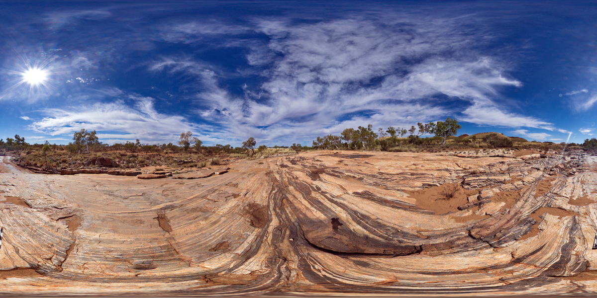
stretched, faulted and sheared amphibolite boudins / segments in granitic gneiss pavement. Woodstock - Rocky Island Road, East Pilbara, W.A. |
1000.00 |
-21.53873000000 |
119.33498000000 |
-9999.000 |
boudinage, amphibolite, structure, shear, fault |
granitic gneiss |
PtEllenUAV2 Map
 |
0 |
10/20/2015 3:47 p.m. |
UAV |
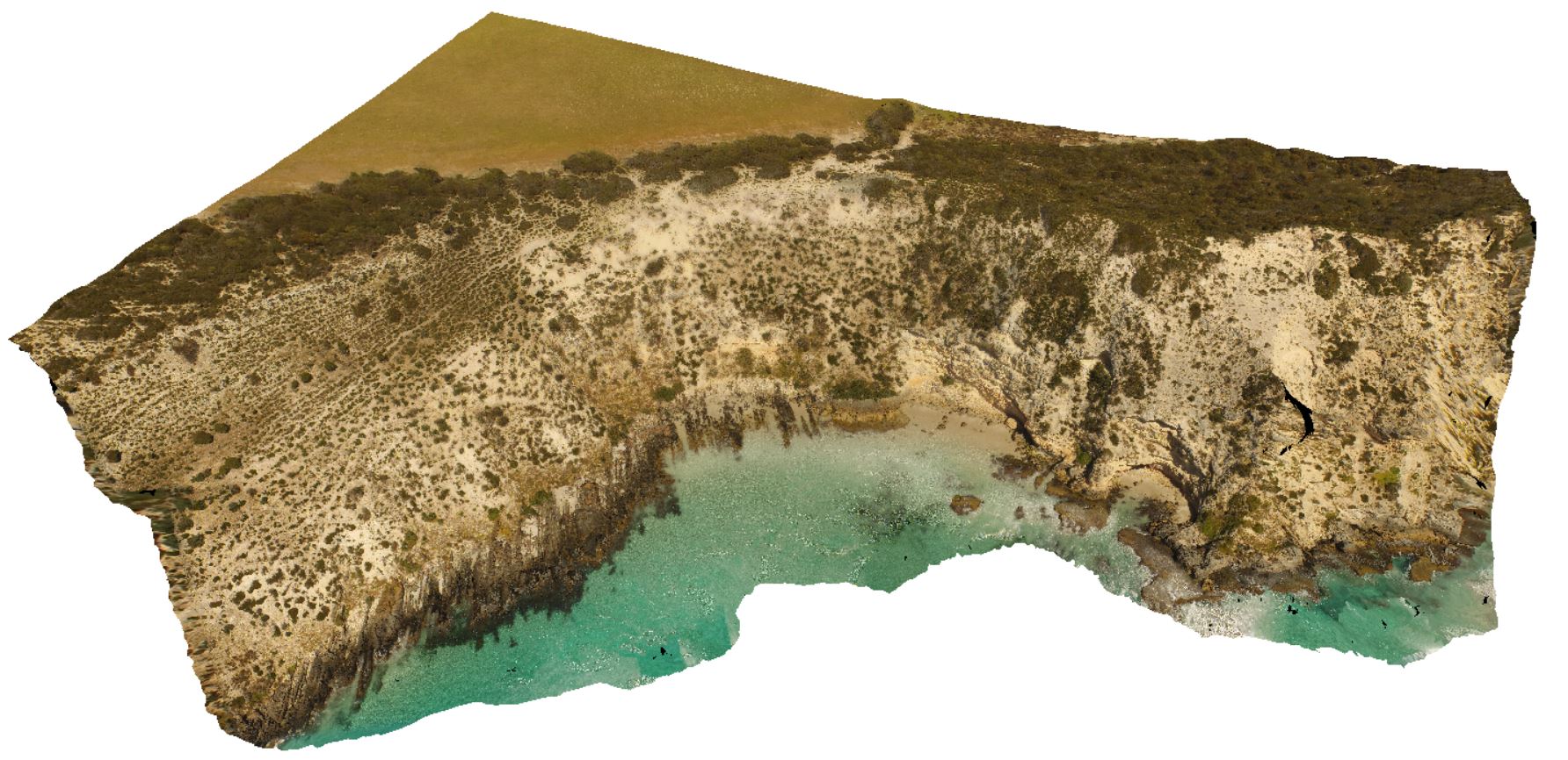
aerial view of the angular unconformity between the underlying Kanmantoo metasediments and the overlying Pleistocene sands. Point Ellen, Kangaroo Island. |
1000.00 |
-35.86015600000 |
137.73456900000 |
-9999.000 |
angular unconformity, metasediments, sandstone |
sediments, sandstone |
EPilbaraFSP6 Map
 |
0 |
06/01/2016 noon |
FSP |
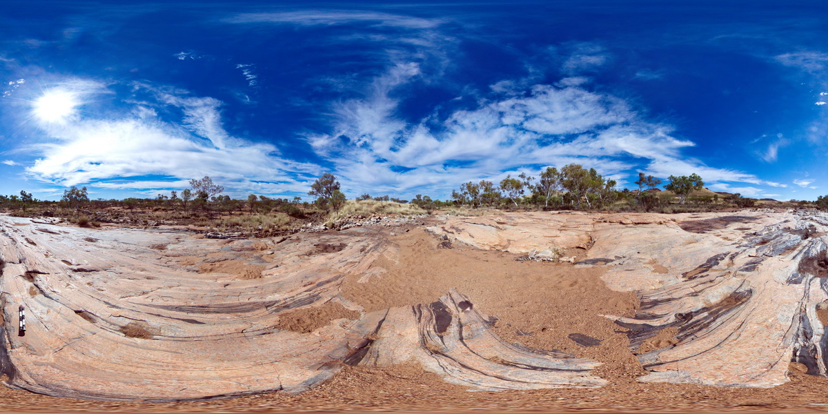
stretched, faulted and sheared amphibolite boudins / segments in granitic gneiss pavement. Woodstock - Rocky Island Road, East Pilbara, W.A. |
1000.00 |
-21.53887000000 |
119.33496000000 |
-9999.000 |
boudinage, amphibolite, faulted, sheared, structure |
granitic gneiss |
WTasFSP42 Map
 |
5 |
01/01/9999 midnight |
FSP |
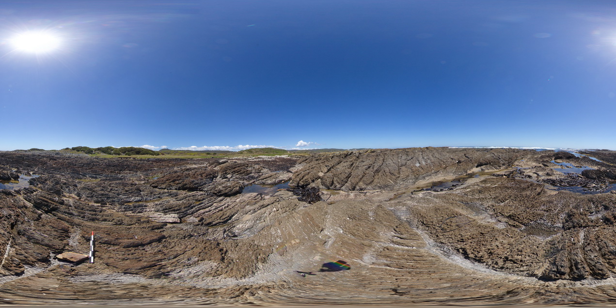
moderately to steeply dipping, sandy to calcareous shale, with spaced cleavage, cross-cut by kink bands / crenulated cleavage. North of Duck Creek, west coast, Tasmania. |
1000.00 |
-41.76572000000 |
145.00134000000 |
-9999.000 |
dip, cleavage, spaced cleavage, kink band, crenulated cleavage, structure |
shale |
ORMGFSP2 Map
 |
0 |
08/01/2016 3:29 p.m. |
FSP |
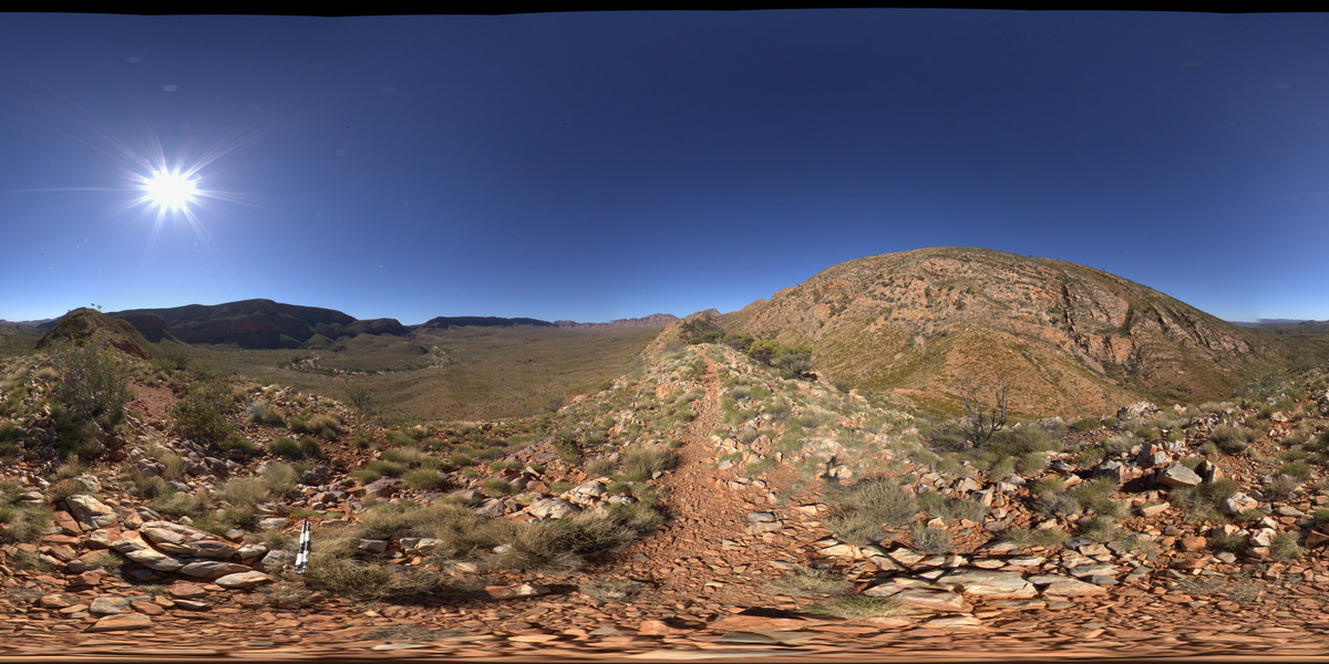
panorama view of Ormiston Gorge (NW) and southerly inclined fold axis to the SW. Pound walk, Ormiston Gorge, N.T. |
1000.00 |
-23.63673100000 |
132.74850400000 |
798.151 |
fold, fold axis, inclined fold axis, structure, quartzite |
quartzite |
MtBruce2 Map
 |
0 |
05/29/2016 noon |
3D |
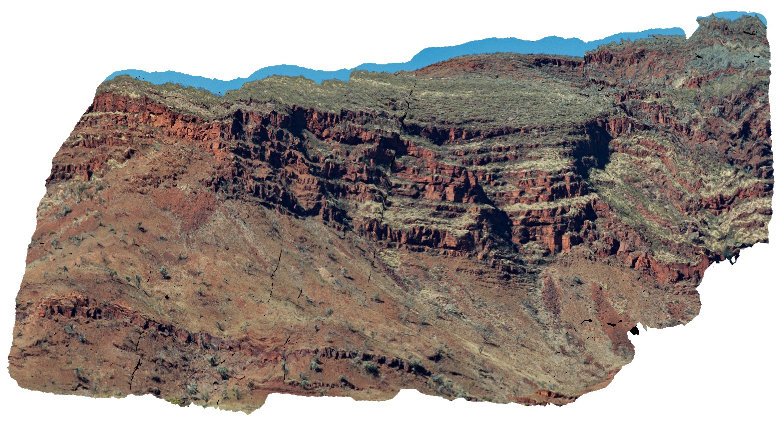
view of the stratigraphy of Mount Bruce. Exposed core of synform with the Brockman Iron Formation and Mount McRae Shale and Mount Sylvia Formations. Openly folded, gently dipping stratigraphy. Mount Bruce, Pilbara, W.A. |
1000.00 |
-22.57421700000 |
118.13826800000 |
-9999.000 |
Mount Bruce, open folds, monocline, structure, stratigraphy |
BIF, shale |
PenningtonFSP1 Map
 |
0 |
10/20/2015 3:33 p.m. |
FSP |
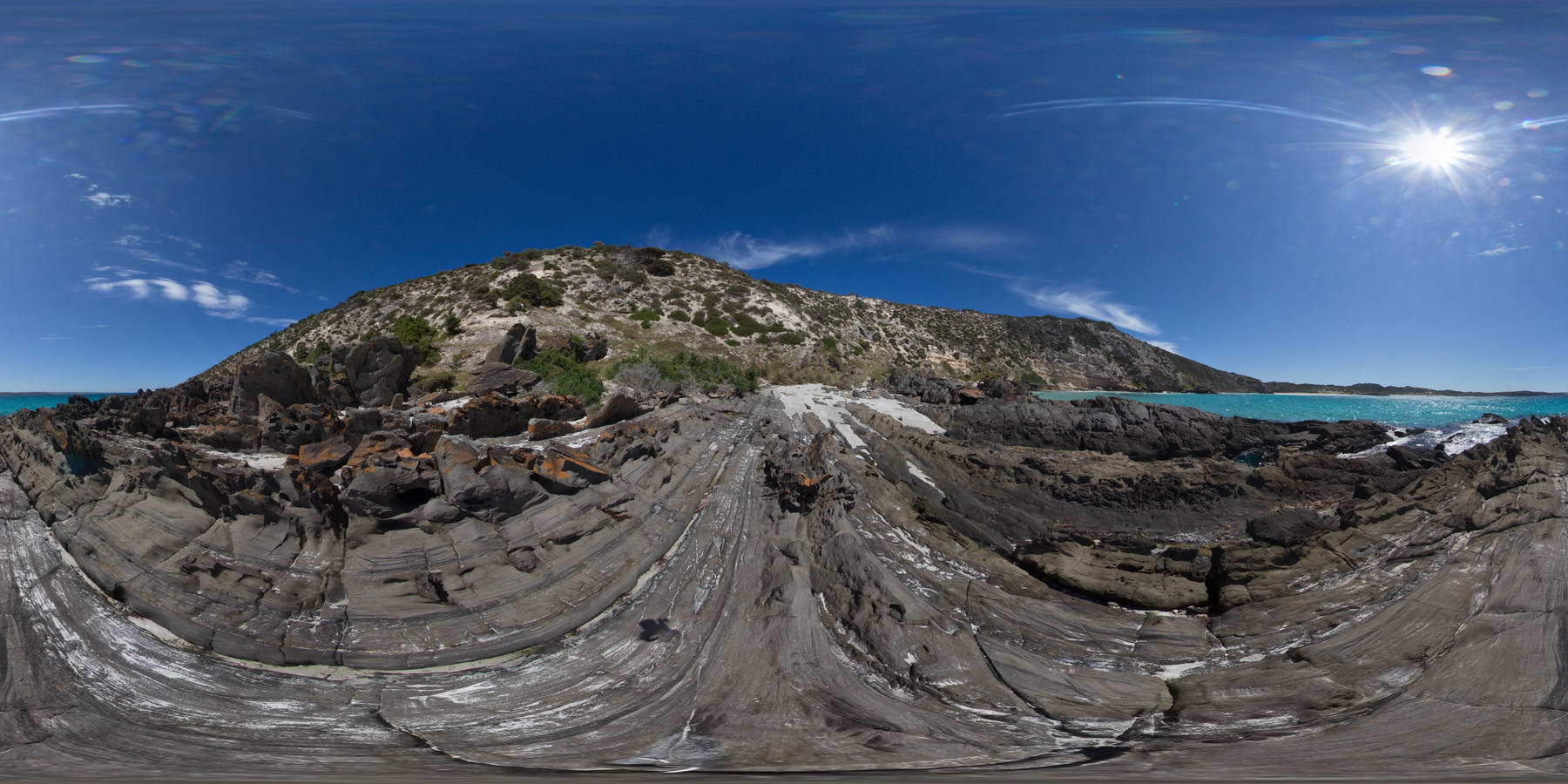
shore platform exposure of steeply dipping Petrel Cove Formation meta-sandstone, overlain by younger Bridgewater Formation calcareous sandstones. Pennington Bay, Kangaroo Island. |
1000.00 |
-35.86037000000 |
137.73471000000 |
-9999.000 |
metasandstone, unconformity, calcareous sandstone, sedimentology |
sandstone, sandstone |
CarnotFSP7 Map
 |
0 |
10/28/2015 12:23 p.m. |
FSP |
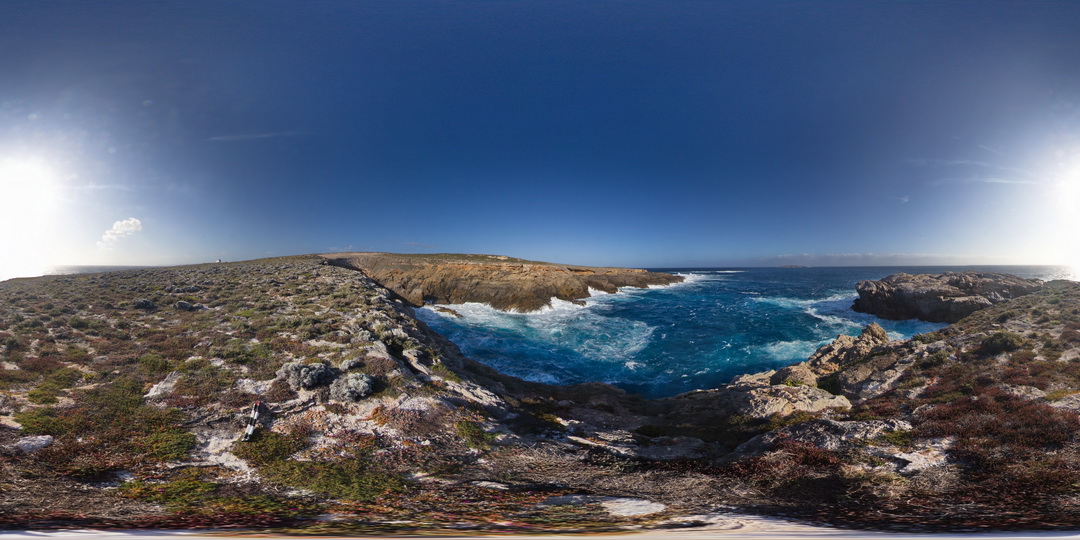
view of Cape Carnot, showing gneiss outcrop and geological unconformity with overlying Tertiary sand. Cape Carnot. S.A. |
1000.00 |
-34.94281800000 |
135.62137400000 |
-9999.000 |
unconformity, gneiss, sand |
gneiss, sand |
WilkaFSP3 Map
 |
0 |
09/27/2015 5:20 p.m. |
FSP |
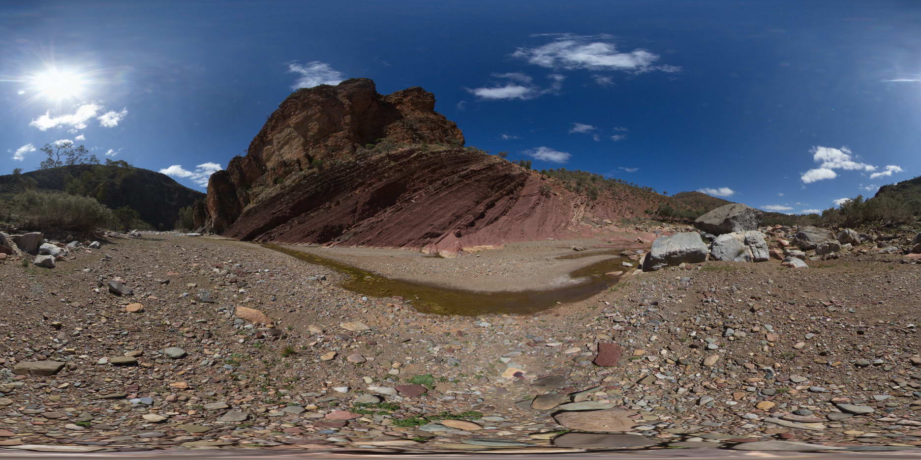
outcrop of the geological contact between the Bonney Sandstone and the Wilkawillina Limestone, Wilkwillina Train, Flinders Ranges. |
1000.00 |
-31.29826000000 |
138.89099000000 |
-9999.000 |
geological contact |
sandstone, limestone |
WilkaFSP4 Map
 |
0 |
09/27/2015 5:21 p.m. |
FSP |
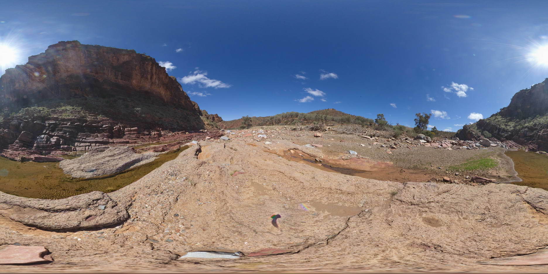
view of diamictite exposure in creek bed, overlain by Bonney Sandstone, overlain by Wilkawillina Limestone. |
1000.00 |
-31.29642000000 |
138.88765000000 |
-9999.000 |
geological contact |
sandstone, limestone |
MarbleBarFSP1 Map
 |
0 |
06/01/2016 noon |
FSP |
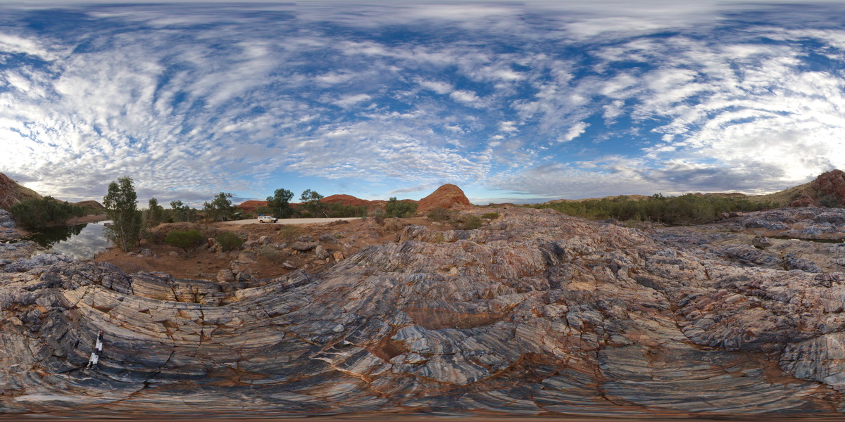
view of the Marble Bar across the Coongan River. Layered chert. Marble Bar, W.A. |
1000.00 |
-21.18630000000 |
119.71178000000 |
-9999.000 |
Marble Bar Chert Member |
chert |
GibbRiverFSP9 Map
 |
0 |
01/01/9999 midnight |
FSP |
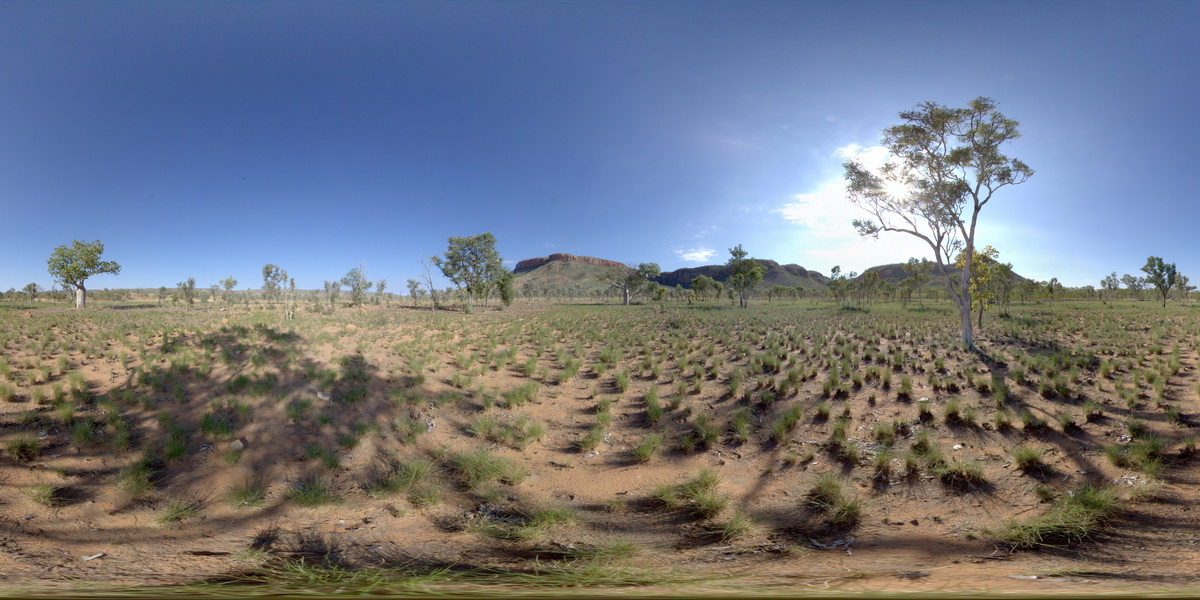
view to Cockburn Range near Emma Gorge. Kimberley. W.A. |
1000.00 |
-14.90996000000 |
128.12428000000 |
-9999.000 |
sandstone, weathering |
sandstone |
MarbleBarFSP9 Map
 |
0 |
06/01/2016 noon |
FSP |
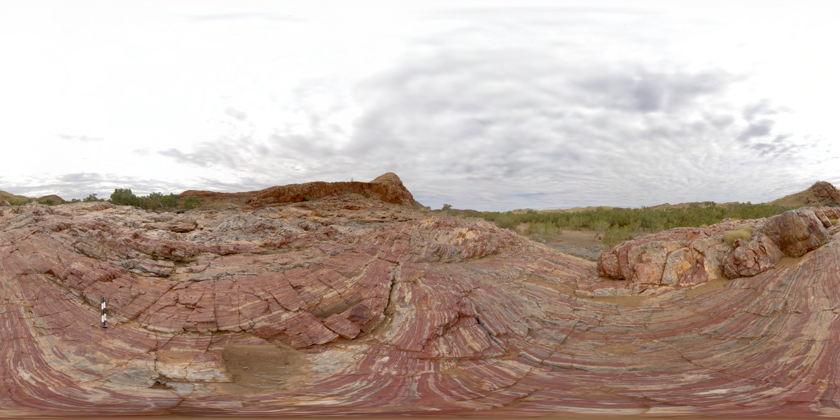
view of red, white and grey banded chert layers at Marble Bar, W.A. |
1000.00 |
-21.18741000000 |
119.71218000000 |
-9999.000 |
banded chert, Marble Bar, sedimentology |
chert |
MarbleBarFSP8 Map
 |
0 |
06/01/2016 noon |
FSP |
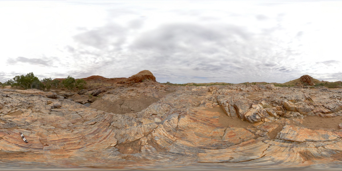
view of banded chert layers at Marble Bar, W.A. |
1000.00 |
-21.18705000000 |
119.71231000000 |
-9999.000 |
Marble Bar, banded chert, sedimentology |
chert |
MarbleBarFSP7 Map
 |
0 |
06/01/2016 noon |
FSP |
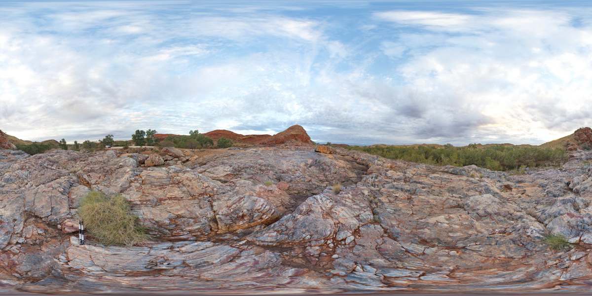
view of grey, homogenous chert intruding and brecciating banded chert of the Marble Bar. Marble Bar, W.A. |
1000.00 |
-21.18683000000 |
119.71181000000 |
-9999.000 |
chert, banded chert, Marble Bar Chert Member |
chert |
JudbarraFSP5 Map
 |
0 |
06/18/2016 noon |
FSP |
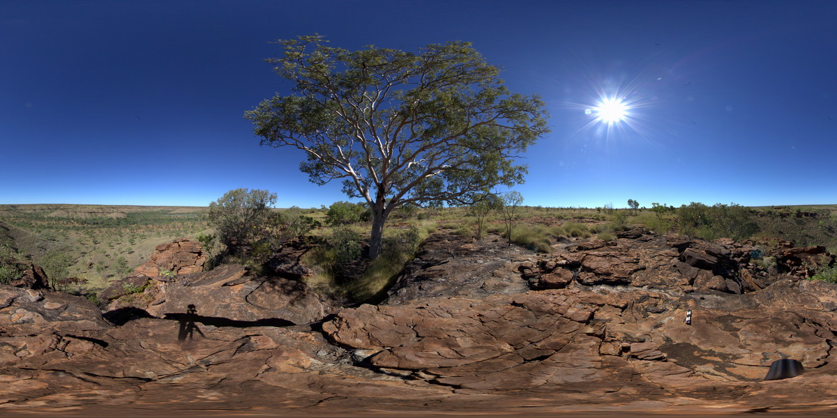
Ridgetop of Jaspar Gorge Sandstone unconformably overlying Supplejack Dolostone Member. Judbarra / Gregory National Park. N.T. |
1000.00 |
-16.78470000000 |
130.64859000000 |
-9999.000 |
unconformity, Supplejack Dolostone, Jaspar Gorge Sandstone, sedimentology |
sandstone, dolostone |
ArkaroolaFSP4 Map
 |
5 |
11/26/2015 2:08 p.m. |
FSP |
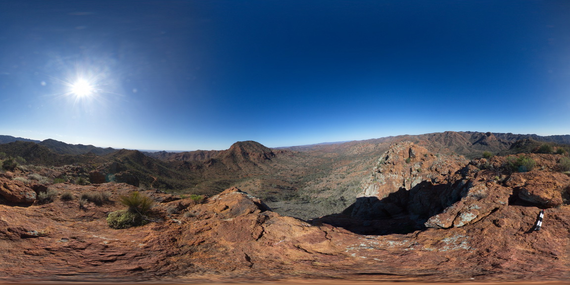
View south to Mt Painter, with Mt Gee in the middle distance. Arkaroola. Northern Flinders Ranges, S.A. |
1000.00 |
-30.21999000000 |
139.35721000000 |
-9999.000 |
Mount Painter, Mount Gee |
Sinter |
OlaryFSP6 Map
 |
0 |
07/14/2015 11:39 a.m. |
FSP |
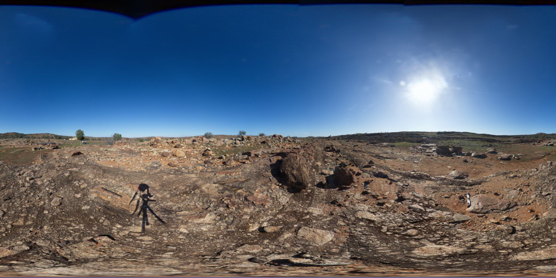
view along of diamictite bedding, showing matrix supported sub-angular clasts. Old Booloomata road, Olary. SA. |
1000.00 |
-32.09576000000 |
140.27934000000 |
-9999.000 |
diamictite, matrix supported |
diamictite |
MarbleBarFSP6 Map
 |
0 |
06/01/2016 noon |
FSP |
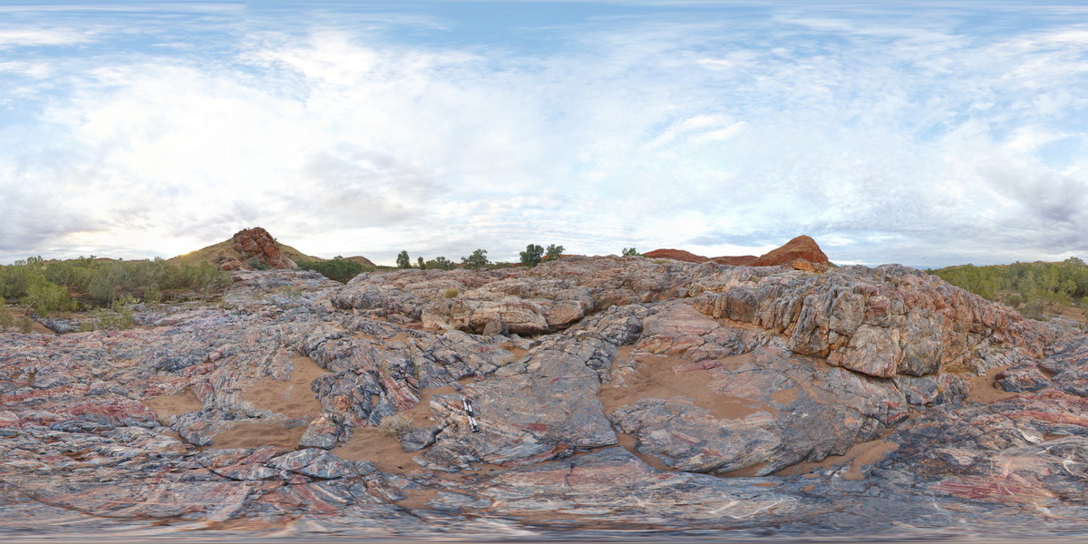
view of grey, homogenous chert intruding and brecciating banded chert of the Marble Bar. Marble Bar, W.A. |
1000.00 |
-21.18683000000 |
119.71181000000 |
-9999.000 |
chert, brecciated, Marble Bar Chert Member |
chert |
OlaryFSP5 Map
 |
0 |
07/14/2015 11:39 a.m. |
FSP |
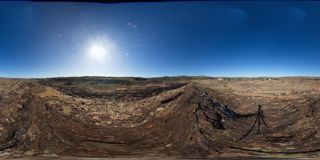
view of diamictite pavement and surrounding bedding, showing matrix supported sub-angular clasts. Old Booloomata road, Olary. SA. |
1000.00 |
-32.09554000000 |
140.27914000000 |
-9999.000 |
diamictite |
diamictite |
MarbleBarFSP4 Map
 |
20 |
06/01/2016 noon |
FSP |
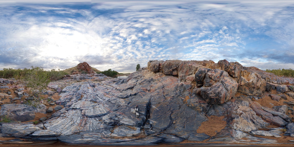
view of grey, homogenous chert intruding and brecciating banded chert of the Marble Bar. Marble Bar, W.A. |
1000.00 |
-21.18663000000 |
119.71176000000 |
-9999.000 |
breccia, chert, Marble Bar Chert Member |
chert |


