MunjinaGiga1 Map
 |
0 |
05/31/2016 noon |
GIGA |
— |
0.00 |
-22.41183000000 |
118.68569000000 |
-9999.000 |
|
|
MunjinaGiga2 Map
 |
0 |
05/31/2016 noon |
GIGA |
— |
0.00 |
-22.41183000000 |
118.68569000000 |
-9999.000 |
|
|
TibrogargunUAV1 Map
 |
0 |
04/18/2016 10:22 a.m. |
UAV |
location inferred from Google Earth |
0.00 |
-26.92724900000 |
152.94669600000 |
-9999.000 |
|
|
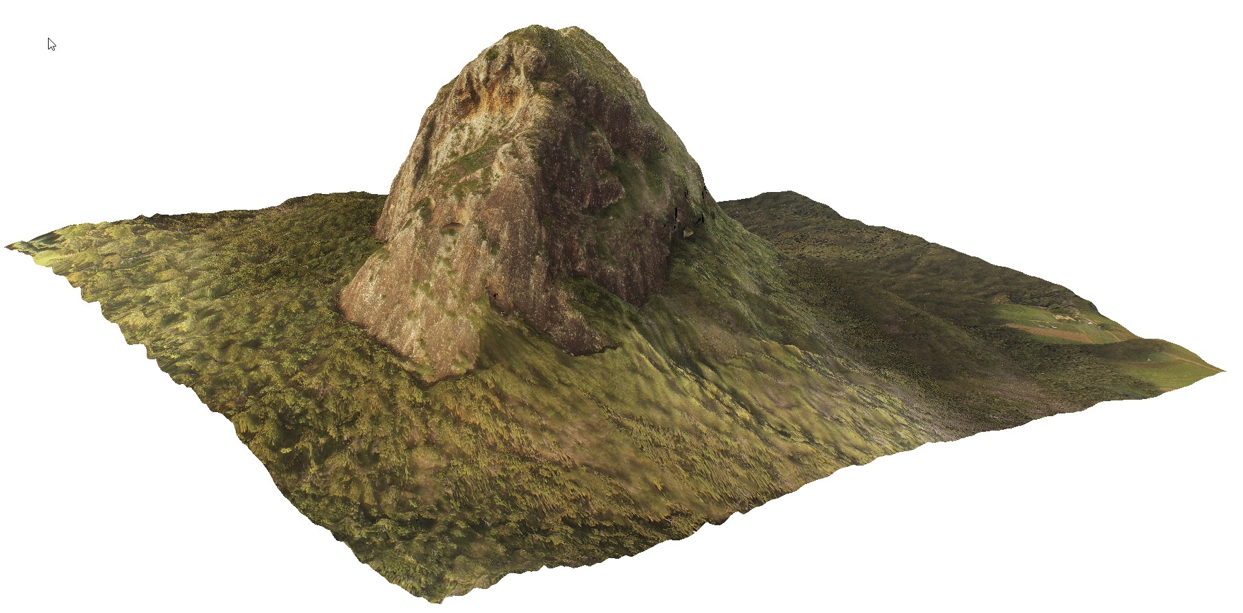
BrachinaFSP11 Map
 |
5 |
11/27/2015 11:52 a.m. |
FSP |
view of Bunyeroo Valley, Brachina Gorge Road. S.A. |
2000.00 |
-31.33223000000 |
138.58980000000 |
-9999.000 |
|
|
NambuccaGiga3 Map
 |
0 |
01/01/9999 midnight |
GIGA |
Nambucca, N.S.W. |
0.00 |
-30.64876000000 |
153.01909000000 |
-9999.000 |
|
|
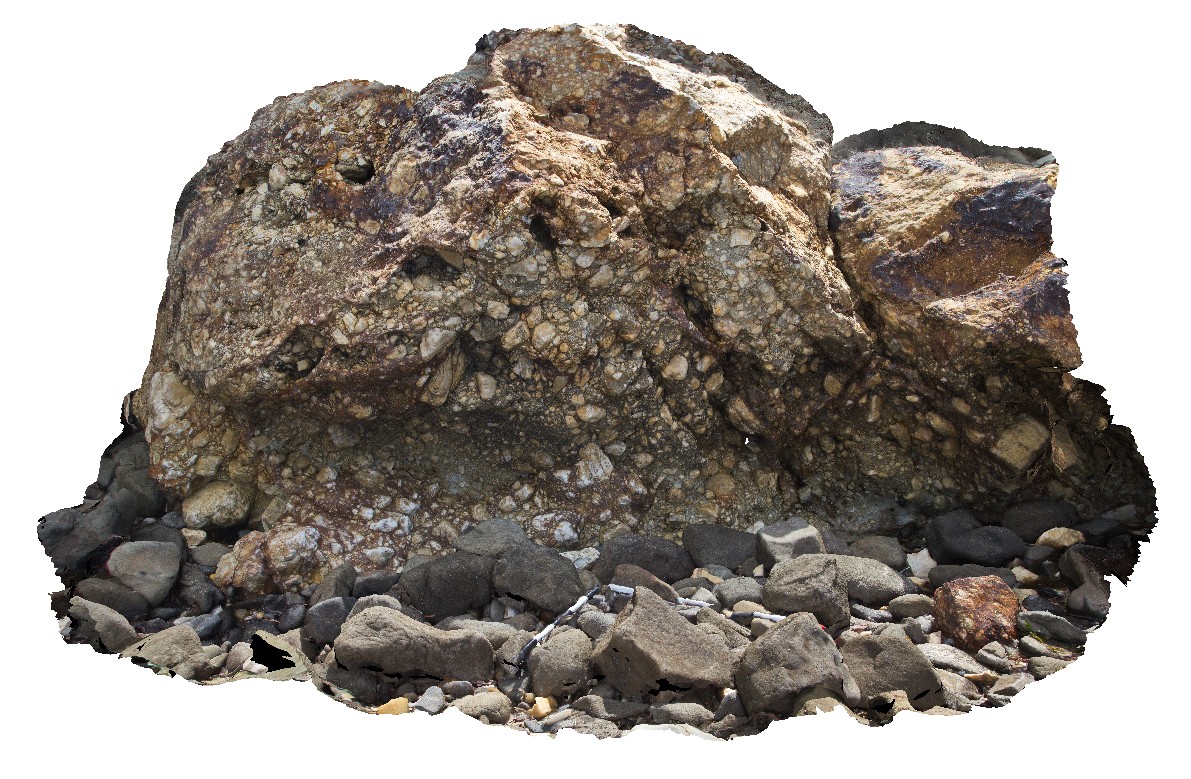
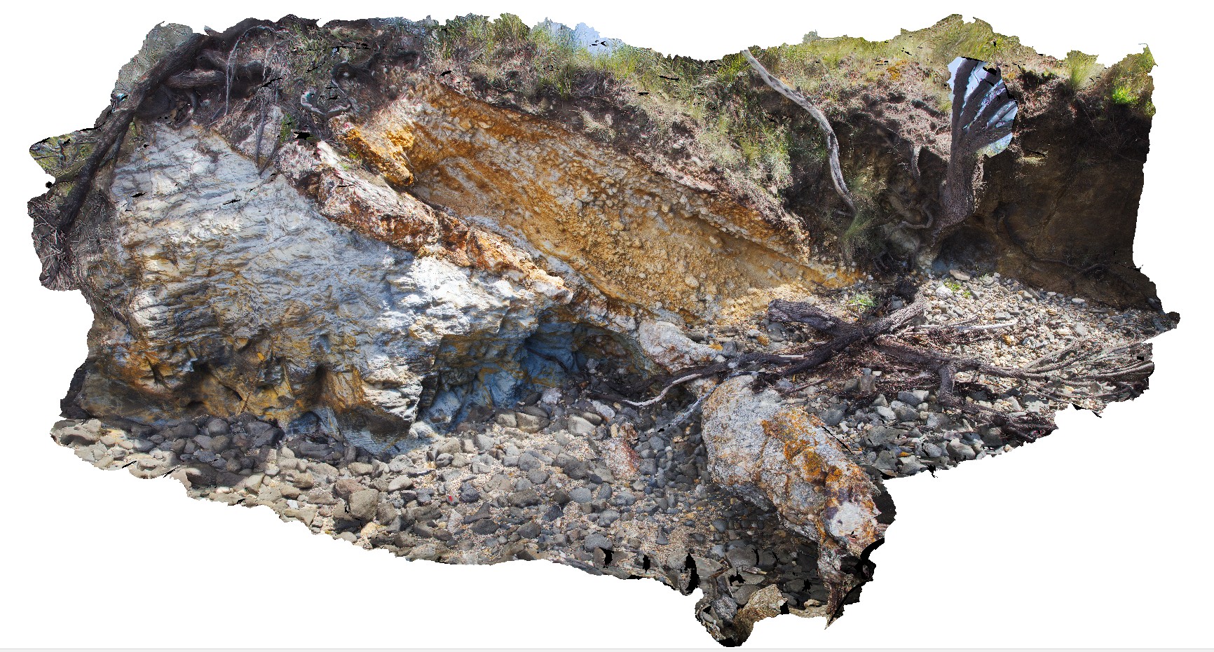
Weymouth2 Map
 |
5 |
01/01/9999 midnight |
3D |
detail od silicified quartz lag at unconformity between Mathinna Supergroup sediments and Tertiary basalts. Weymouth, north-east Tasmania |
0.00 |
-41.01236000000 |
147.14732000000 |
-9999.000 |
quartz lag, unconformity |
|
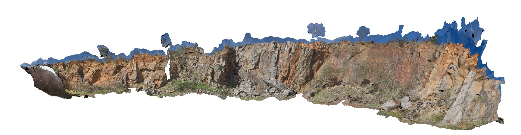
Portcampbell1 Map
 |
0 |
01/01/9999 midnight |
3D |
view along south coast of Victoria, showing bedded sediments. Near Port Campbell, Vic. |
1000.00 |
-38.64002770000 |
143.04897780000 |
-9999.000 |
|
|
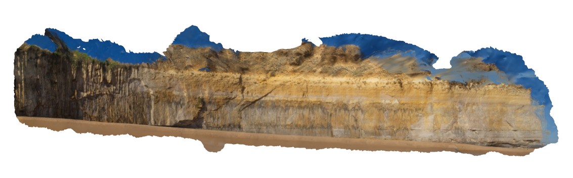
Weymouth1 Map
 |
5 |
01/01/9999 midnight |
3D |
unconformity between Ordovician Mathinna Supergroup and Tertiary Basalts with silicified quartz lag deposit at unconformity surface. Weymouth, north-east Tasmania |
0.00 |
-41.01239000000 |
147.14732000000 |
-9999.000 |
un
conformity, basalt |
|
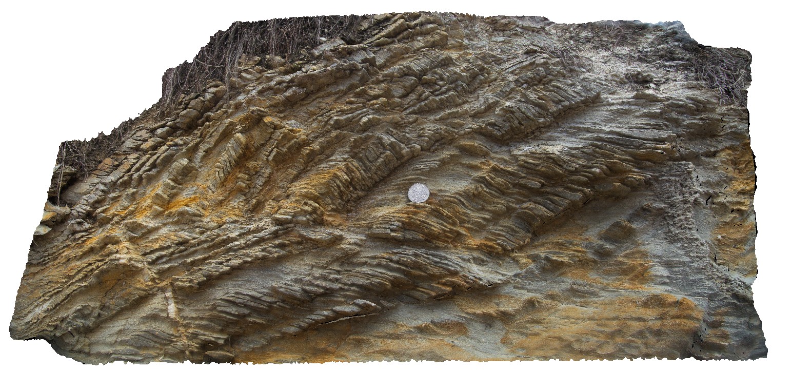
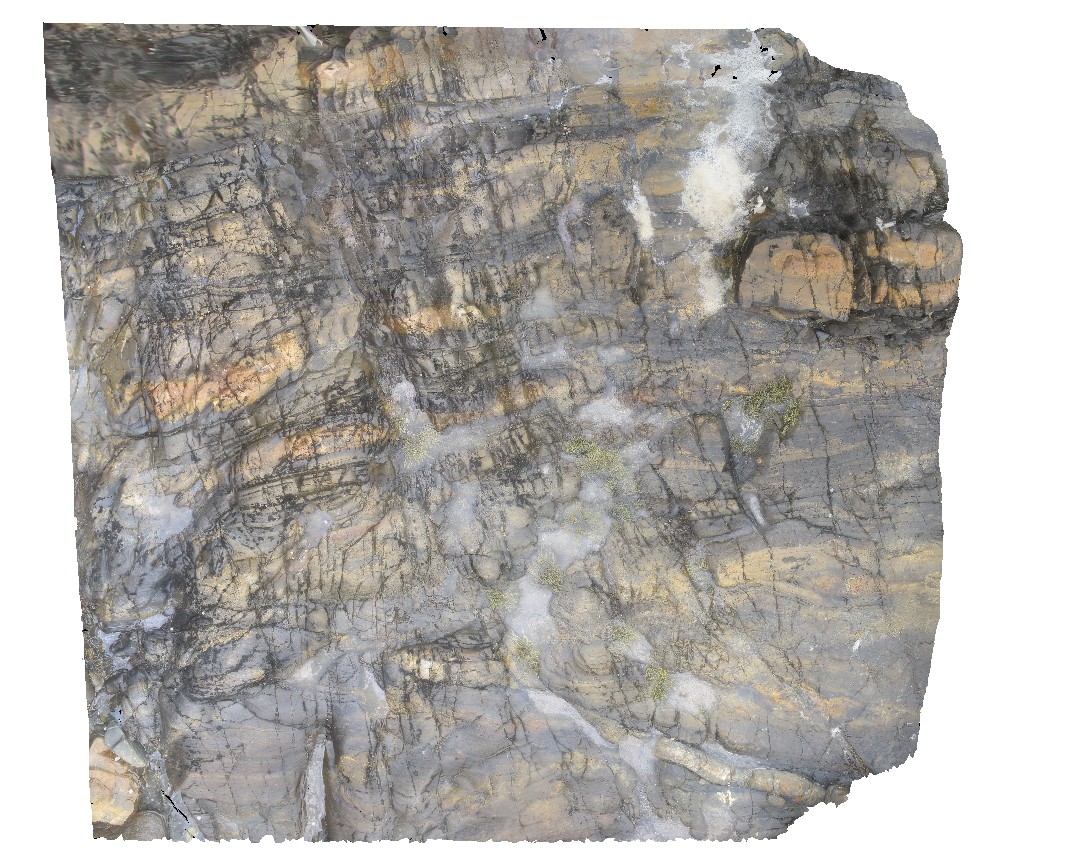
IndustryRd2 Map
 |
5 |
01/01/9999 midnight |
3D |
close up of F2 parasitic folds and crenulated S1 fabric (folded bedding and S1). S1 oblique to bedding. |
0.00 |
-41.13119000000 |
147.03804000000 |
-9999.000 |
parasitic fold, structure, crenulated cleavage, S1, F2 fold |
|
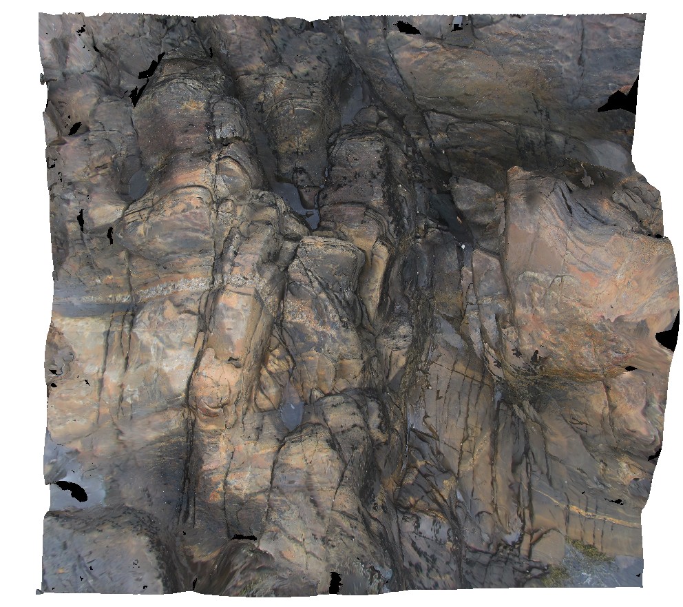
CapeWickham7 Map
 |
5 |
04/22/2016 12:08 p.m. |
3D |
folded and deformed metasediments with crosscutting felsic dykelets. Cape Wickham, King Island. Tasmania. |
2.00 |
-39.59224014000 |
143.92801576000 |
2.000 |
fold, deformation, structure, felsic dyke |
|
CanberraGiga3 Map
 |
1 |
06/17/2015 10:30 a.m. |
GIGA |
— |
0.00 |
-35.30408000000 |
149.12651000000 |
-9999.000 |
|
|
CanberraGiga1 Map
 |
1 |
06/17/2015 10:27 a.m. |
GIGA |
— |
0.00 |
-35.30408000000 |
149.12651000000 |
-9999.000 |
|
|
NambuccaGiga2 Map
 |
0 |
01/01/9999 midnight |
GIGA |
Nambucca, N.S.W. |
0.00 |
-30.64857000000 |
153.01886000000 |
-9999.000 |
|
|
MallacootaGiga1 Map
 |
0 |
05/18/2015 2:01 p.m. |
GIGA |
location inferred from nearby images. Mallacoota, Vic. |
0.00 |
-37.57225000000 |
149.76472000000 |
-9999.000 |
|
|
WBunglesUAV1 Map
 |
0 |
02/23/2016 12:25 p.m. |
UAV |
location inferred from google earth |
0.00 |
-31.33049800000 |
148.99571900000 |
-9999.000 |
|
|
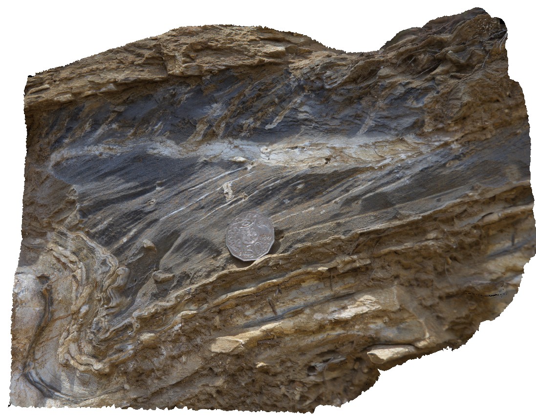
Weymouth3 Map
 |
5 |
01/01/9999 midnight |
3D |
bedding and flat-lying S1 cleavage in Ordovician metasediments of the Mathinna Supergroup. Weymouth, north-east Tasmania |
0.00 |
-41.01250000000 |
147.14734000000 |
-9999.000 |
Mathinna Supergroup, S1 cleavage, bedding |
|
BoyaPole2 Map
 |
0 |
03/13/2015 9:27 a.m. |
3D |
Boya quarry, Boya, Western Australia. |
0.00 |
-31.91484580000 |
116.06239402000 |
-9999.000 |
|
|
CapeWickham8 Map
 |
5 |
04/22/2016 12:22 p.m. |
3D |
view of bedded, quartzite dominant metasediments. Cape Wickham, King Island. Tasmania. |
0.00 |
-39.59224515000 |
143.92791342000 |
0.500 |
metasediments |
|
Boya5 Map
 |
0 |
03/13/2015 9:26 a.m. |
PANO |
Boya quarry, Boya, Western Australia. |
0.00 |
-31.91484580000 |
116.06239402000 |
-9999.000 |
|
|
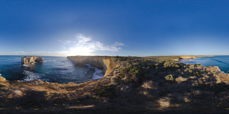
PortcampbellFSP1 Map
 |
0 |
01/01/9999 midnight |
FSP |
view along south coast of Victoria, showing bedded sediments. Near Port Campbell, Vic. |
1000.00 |
-38.64003000000 |
143.04898000000 |
-9999.000 |
|
|
NambuccaGiga1 Map
 |
0 |
01/01/9999 midnight |
GIGA |
Nambucca, N.S.W. |
0.00 |
-30.64660000000 |
153.01932000000 |
-9999.000 |
|
|
CapeWickham6 Map
 |
5 |
04/28/2016 9:10 a.m. |
3D |
intrusive contact between sub vertically dipping metasediments of the Surprise Bay Formation and a dolerite dyke. Cape Wickham, King Island. Tasmania. |
5.00 |
-39.59209477000 |
143.92795761000 |
5.000 |
dip, intrusive contact, contact, structure |
|
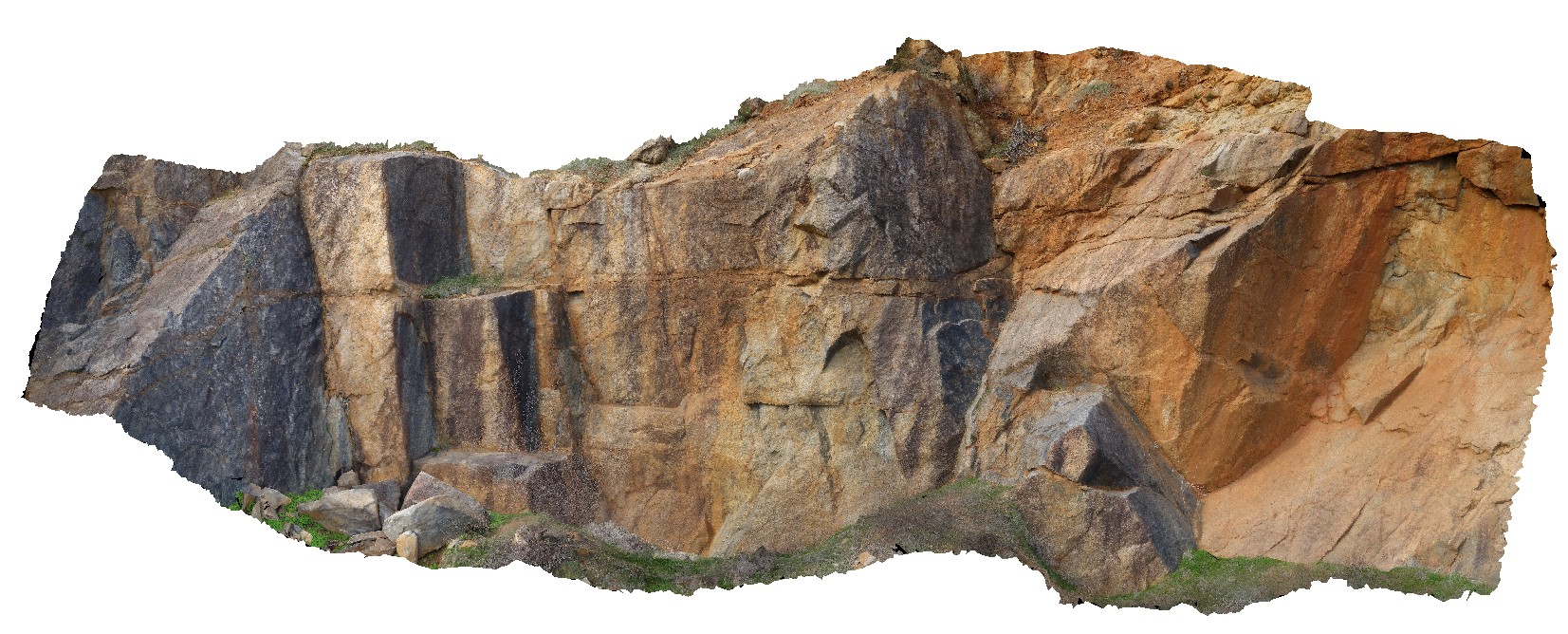
MitchellGIGa1 Map
 |
0 |
06/08/2016 noon |
GIGA |
Port Warrender Road, Kimberley. W.A. |
0.00 |
-14.56782000000 |
125.84389000000 |
-9999.000 |
|
|
IndustryRd1 Map
 |
5 |
01/01/9999 midnight |
3D |
F2 parasitic folds and crenulated S1 fabric (folded bedding and S1). S1 oblique to bedding. |
0.00 |
-41.13119000000 |
147.03804000000 |
-9999.000 |
parasitic fold, crenulated cleavage, S1 fabric, F2 fold, fold, structure |
|
DixonRangeGIGa1 Map
 |
0 |
06/13/2016 noon |
GIGA |
steep fault in metasediments. Dixon Range, north W.A. |
0.00 |
-17.17853000000 |
128.24756000000 |
-9999.000 |
|
|