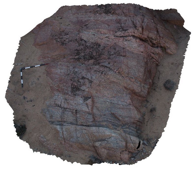
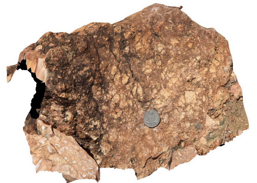
Arkaroola51 Map
 |
5 |
11/12/2015 10:08 a.m. |
3D |
exposure of granitic gneiss, showing mineral segregation / banding, above Paralana Hot Springs, Hot springs Creek, Arkaroola. Northern Flinders Ranges, S.A. |
3.00 |
-30.17260000000 |
139.44063000000 |
-9999.000 |
gneiss, gneissic banding |
gneiss |
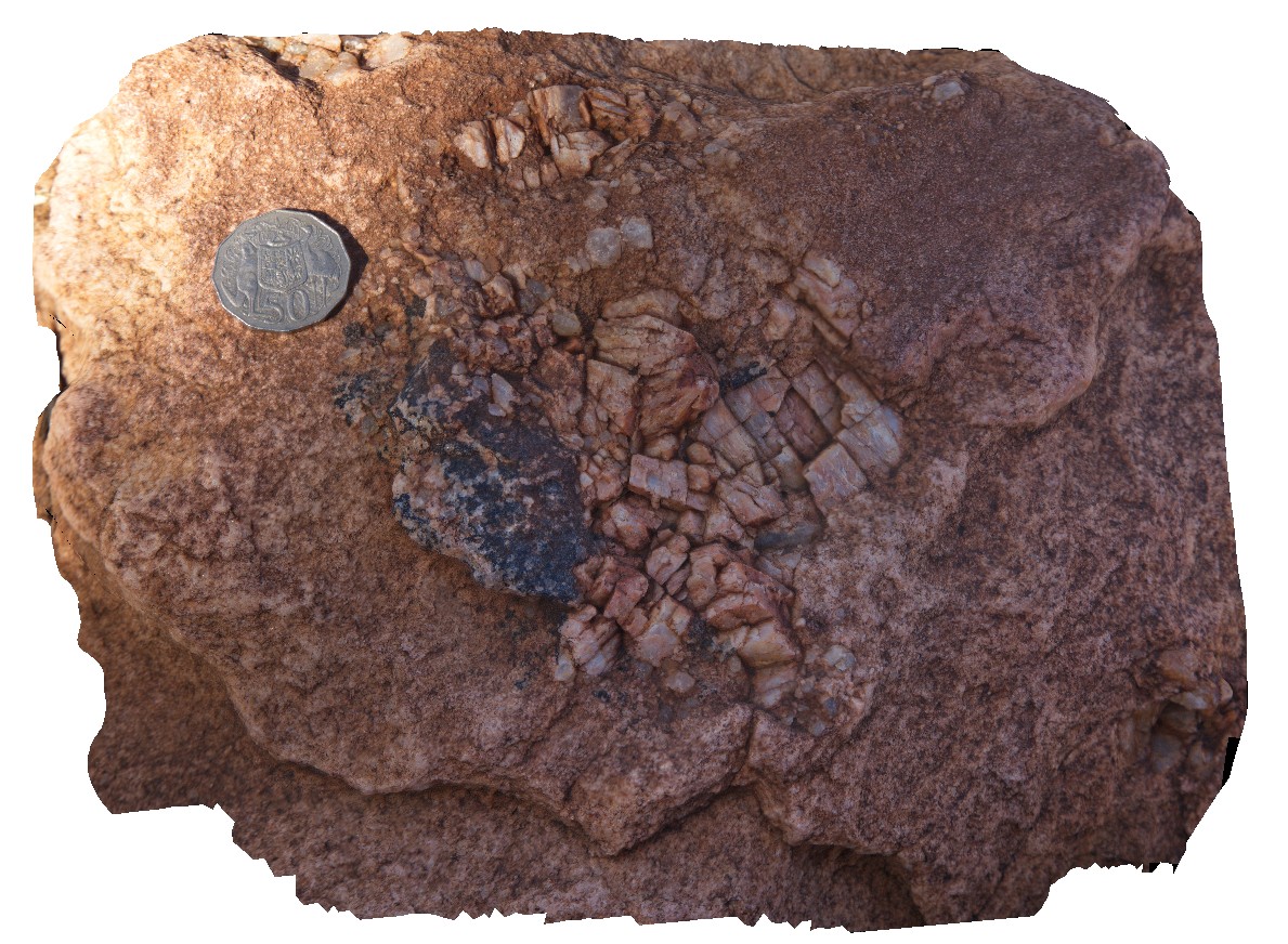
Arkaroola6 Map
 |
5 |
11/06/2015 1:35 p.m. |
3D |
pegmatitic segregations in granite with pyramid terminating quartz crystals at the 'pinnacles' Arkaroola. Northern Flinders Ranges, S.A. |
0.40 |
-30.29721000000 |
139.31032000000 |
-9999.000 |
terminated quartz, pegmatitic |
granite |
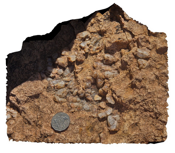
Arkaroola7 Map
 |
5 |
11/06/2015 1:35 p.m. |
3D |
pegmatitic segregations and small xenolith in granite, the Pinnacles, Arkaroola. Northern Flinders Ranges, S.A. |
0.40 |
-30.29722000000 |
139.31026000000 |
-9999.000 |
pegmatitic segregations |
granite |
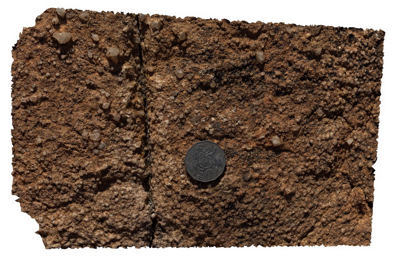
Arkaroola8 Map
 |
5 |
11/06/2015 1:36 p.m. |
3D |
detail of crystal faced on quartz phenocrysts in leucogranite, the Pinnacles, Arkaroola. Northern Flinders Ranges, S.A. |
0.20 |
-30.29705000000 |
139.31039000000 |
-9999.000 |
quartz phenocryst, granite texture |
granite |
Arkaroola9 Map
 |
5 |
11/06/2015 1:37 p.m. |
3D |
Boulder of granite breccia at the Pinnacles, Arkaroola. Northern Flinders Ranges, S.A. |
0.00 |
-30.29921000000 |
139.30934000000 |
-9999.000 |
breccia |
breccia |
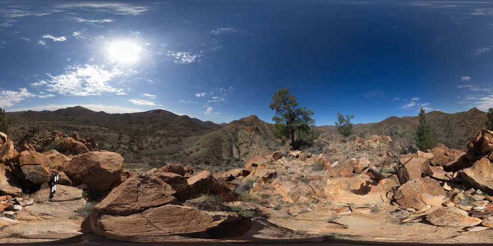
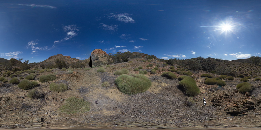
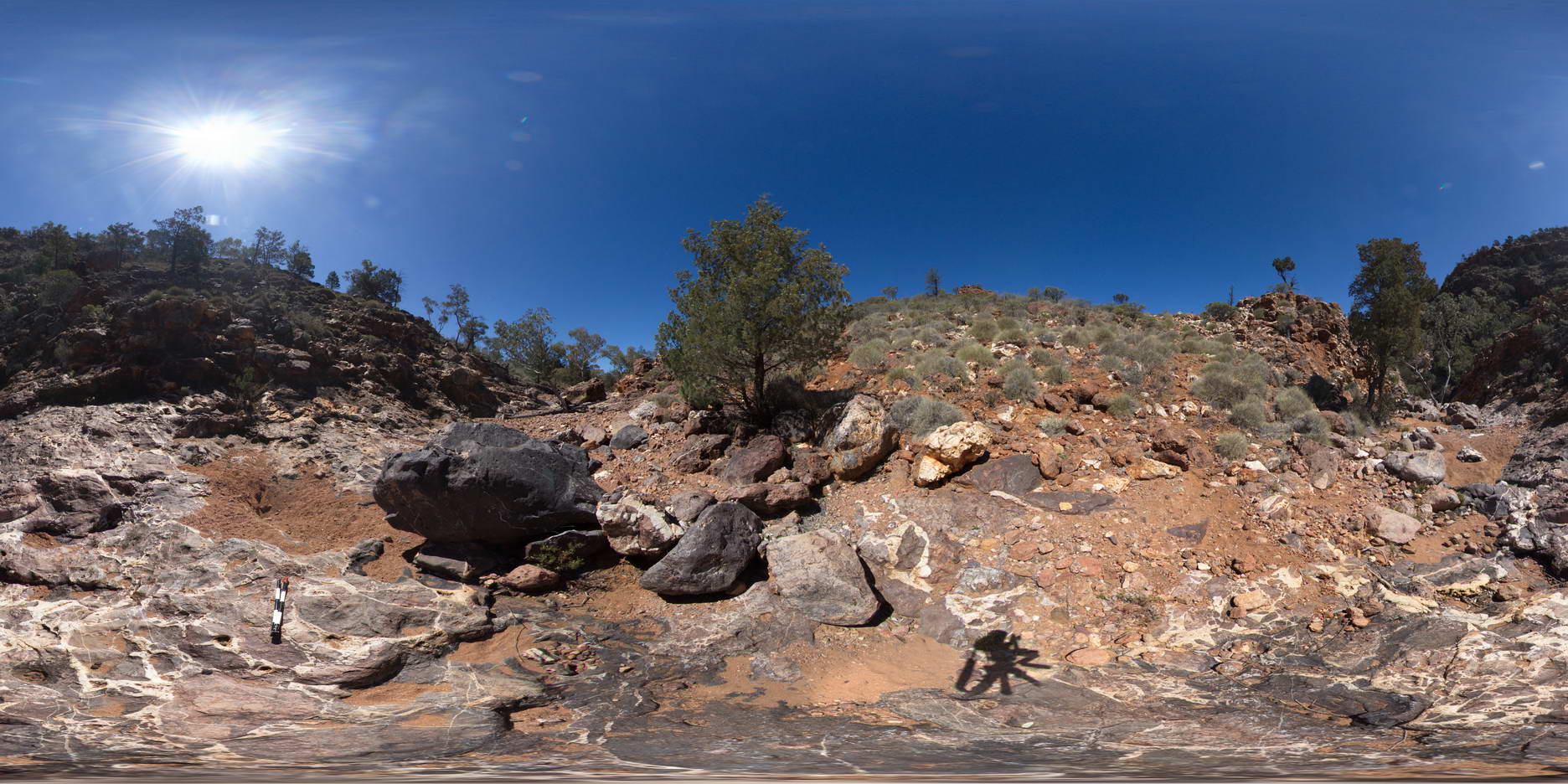
ArkaroolaFSP1 Map
 |
5 |
11/26/2015 2:04 p.m. |
FSP |
view from 'the pinnacle', Arkaroola. Northern Flinders Ranges, S.A. |
0.00 |
-30.29705000000 |
139.31039000000 |
-9999.000 |
leucogranite |
granite |
ArkaroolaFSP10 Map
 |
5 |
11/26/2015 3:14 p.m. |
FSP |
haematitic and granitic brecciated boulders and outcrop exposed in creek bed. Quartz veins cross-cut and also host breccia clasts. Arkaroola. Northern Flinders Ranges, S.A. |
0.00 |
-30.22888000000 |
139.34531000000 |
-9999.000 |
breccia, quartz veining |
breccia |
ArkaroolaFSP11 Map
 |
5 |
11/26/2015 3:14 p.m. |
FSP |
view from ridge, looking south to Mt Gee and south east to Mt Painter. Outcrop of Mt Gee Sinter in the foreground. Arkaroola. Northern Flinders Ranges, S.A. |
3000.00 |
-30.22390000000 |
139.34218000000 |
-9999.000 |
sinter |
sinter |
ArkaroolaFSP12 Map
 |
5 |
11/26/2015 3:15 p.m. |
FSP |
view from Mt Gee looking over the surrounding area. Outcrop of Mt Gee Sinter in the foreground. Arkaroola. Northern Flinders Ranges, S.A. |
3000.00 |
-30.22729000000 |
139.34213000000 |
-9999.000 |
sinter |
sinter |
ArkaroolaFSP13 Map
 |
5 |
11/26/2015 3:15 p.m. |
FSP |
exposure of diamictite in creek bed in tillite gorge, Arkaroola. Northern Flinders Ranges, S.A. |
100.00 |
-30.32785000000 |
139.40956000000 |
-9999.000 |
diamictite |
diamictite |
ArkaroolaFSP14 Map
 |
5 |
11/26/2015 3:15 p.m. |
FSP |
exposure of diamictite in creek bed in tillite gorge, Arkaroola. Northern Flinders Ranges, S.A. |
100.00 |
-30.32891000000 |
139.40944000000 |
-9999.000 |
diamictite |
diamictite |
ArkaroolaFSP15 Map
 |
5 |
11/26/2015 3:15 p.m. |
FSP |
Paleo magnetic sampling site, taken from a large sandstone bed within the diamictite, Tillite Gorge, Arkaroola. Northern Flinders Ranges, S.A. |
0.00 |
-30.33022000000 |
139.40932000000 |
-9999.000 |
diamictite |
diamictite |
ArkaroolaFSP16 Map
 |
5 |
11/26/2015 3:15 p.m. |
FSP |
view of creek exposure and cliffs, showing sandstone bed within the diamictite, Tillite Gorge, Arkaroola. Northern Flinders Ranges, S.A. |
100.00 |
-30.33114000000 |
139.40990000000 |
-9999.000 |
diamictite |
diamictite |
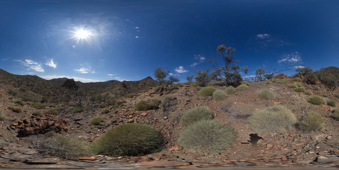
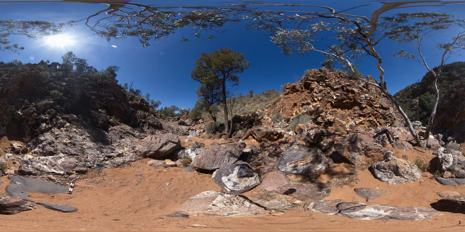
ArkaroolaFSP2 Map
 |
5 |
11/26/2015 2:07 p.m. |
FSP |
View of the Pinnacles outcrop, Arkaroola. Northern Flinders Ranges, S.A. |
0.00 |
-30.29601000000 |
139.31133000000 |
-9999.000 |
granite |
granite |
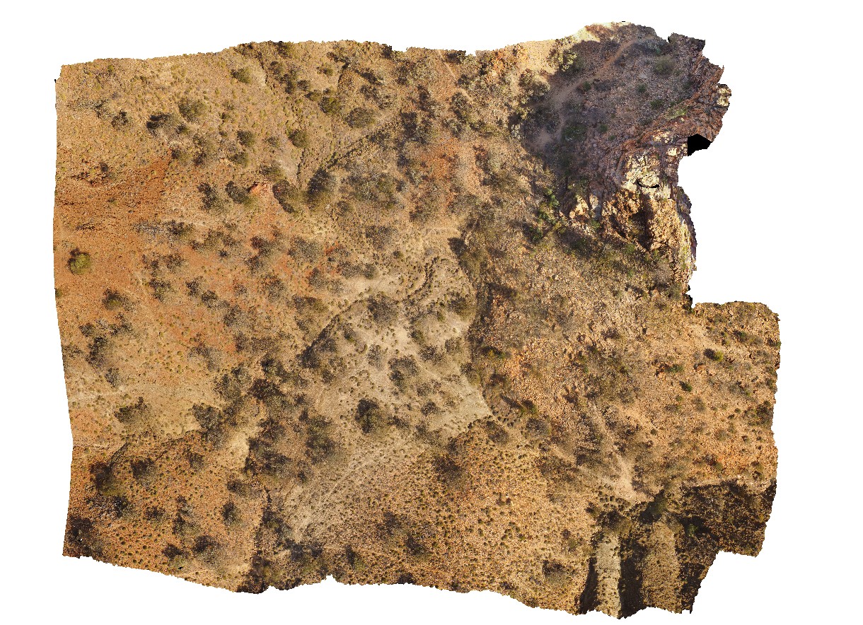
ArkaroolaFSP3 Map
 |
5 |
11/26/2015 2:08 p.m. |
FSP |
aerial view of the Pinnacles, pegmatitic intrusions and surrounding sediments, Arkaroola. Northern Flinders Ranges, S.A. |
0.00 |
-30.29877000000 |
139.30951000000 |
-9999.000 |
leucogranite |
granite |
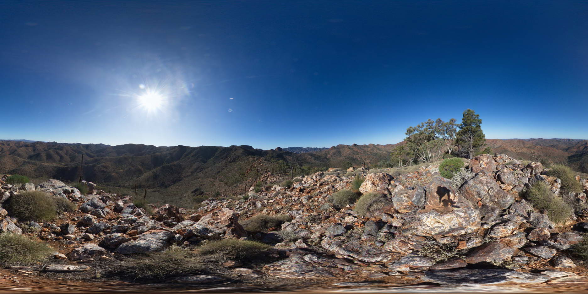
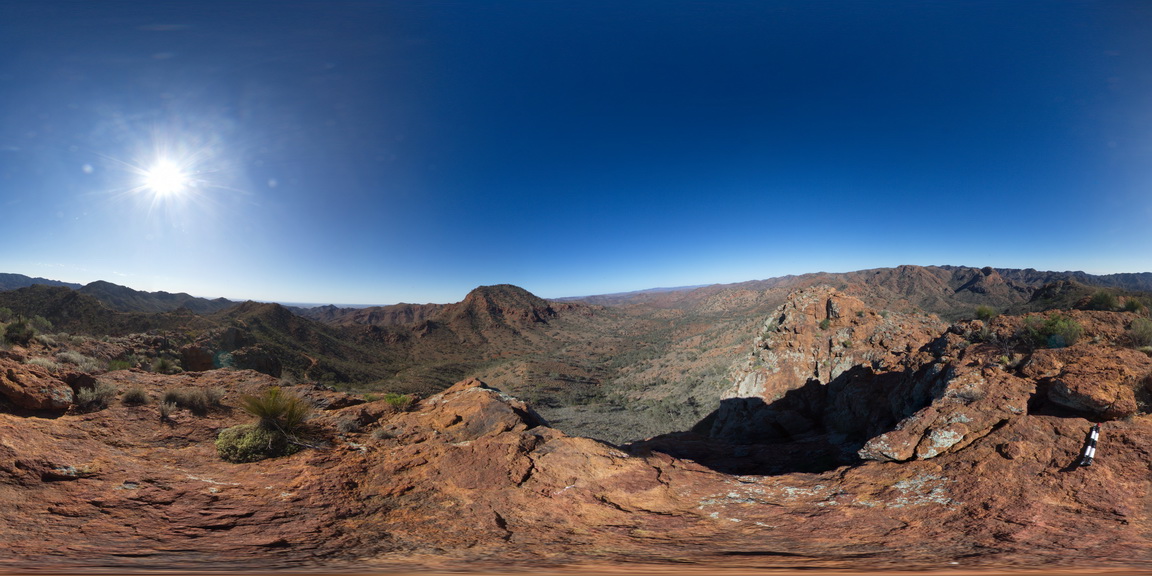
ArkaroolaFSP4 Map
 |
5 |
11/26/2015 2:08 p.m. |
FSP |
View south to Mt Painter, with Mt Gee in the middle distance. Arkaroola. Northern Flinders Ranges, S.A. |
1000.00 |
-30.21999000000 |
139.35721000000 |
-9999.000 |
Mount Painter, Mount Gee |
Sinter |
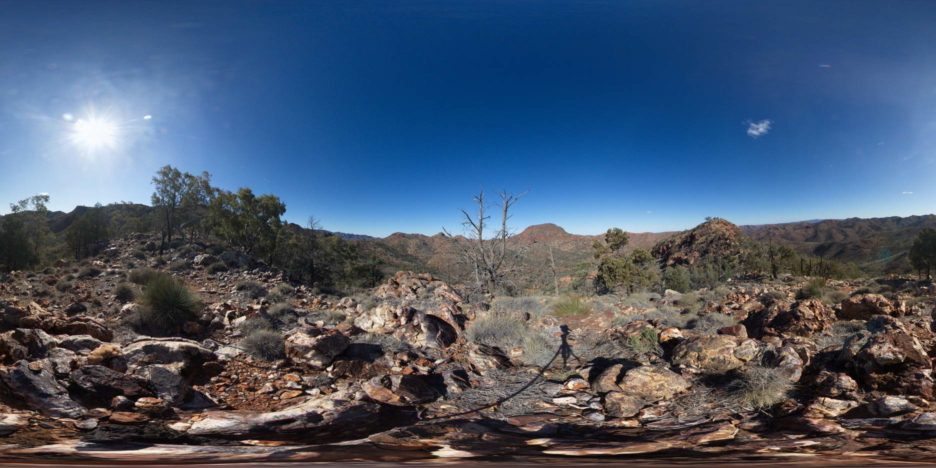
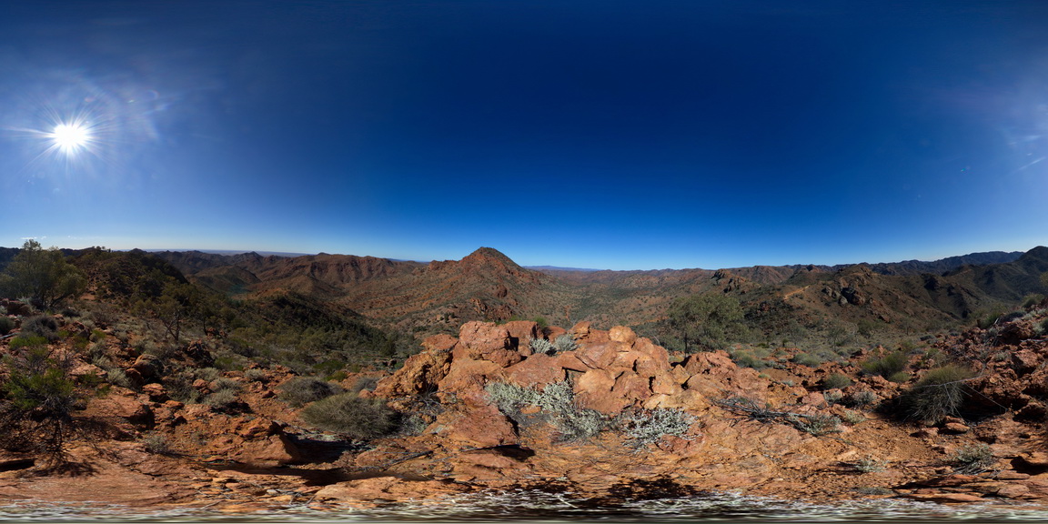
ArkaroolaFSP5 Map
 |
5 |
09/27/2015 5:56 p.m. |
FSP |
View form spur leading to Mt Painter. Looking back to ridge top track, with view of Mt Gee Sinter blocks in the foreground. The ridge across to Mt Painter and views out to the surrounding Arkaroola can also be seen. Northern Flinders Ranges, S.A. |
0.00 |
-30.22092000000 |
139.36333000000 |
-9999.000 |
Blocks |
Sinter |
ArkaroolaFSP6 Map
 |
5 |
11/26/2015 2:08 p.m. |
FSP |
Outcrop on edge of creek bed showing granitic and hematitic breccias cross cut by quartz veining. Creek below Mt Gee, Arkaroola. Northern Flinders Ranges, S.A. |
0.00 |
-30.22874000000 |
139.34581000000 |
-9999.000 |
rebrecciated breccia, quartz veins |
Sinter |
ArkaroolaFSP7 Map
 |
5 |
11/26/2015 2:14 p.m. |
FSP |
pavement exposure of breccia cross cut by quartz veining in creek bed, Arkaroola. Northern Flinders Ranges, S.A. |
0.00 |
-30.22880000000 |
139.34572000000 |
-9999.000 |
breccia, quartz veining |
breccia |
ArkaroolaFSP8 Map
 |
5 |
11/26/2015 3:14 p.m. |
FSP |
creek bed exposure of granitic and hematitic breccia cross-cut by quartz veining. Quartz veins host breccia clasts in some instances. Arkaroola. Northern Flinders Ranges, S.A. |
0.00 |
-30.22882000000 |
139.34558000000 |
-9999.000 |
breccia, quartz veining |
breccia |
ArkaroolaFSP9 Map
 |
5 |
11/26/2015 3:14 p.m. |
FSP |
hematitic and granitic brecciated boulders and outcrop exposed in creek bed. Quartz veins cross-cut and also host breccia clasts. Arkaroola. Northern Flinders Ranges, S.A. |
0.00 |
-30.22888000000 |
139.34544000000 |
-9999.000 |
breccia, quartz veining |
breccia |
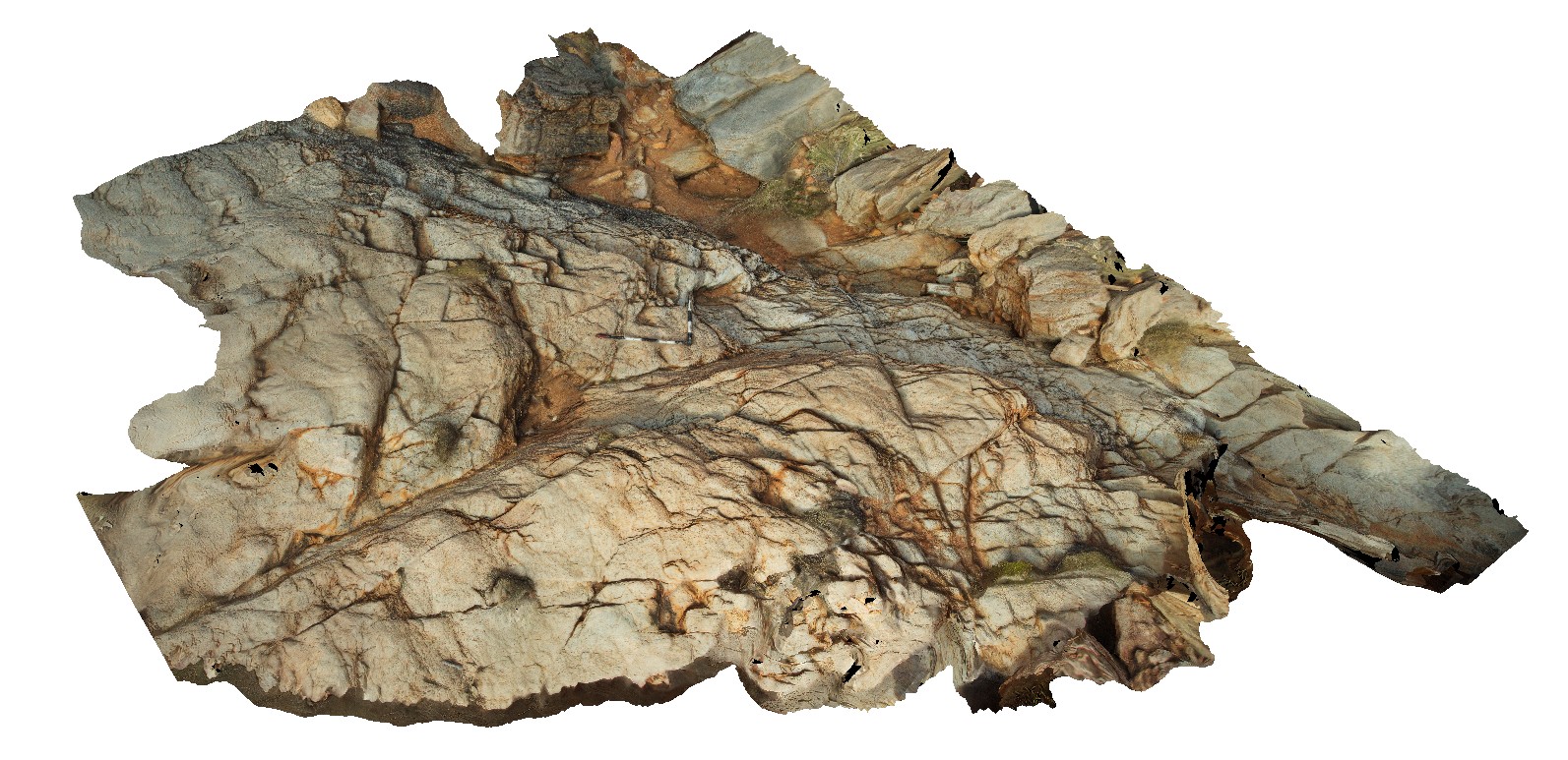
ArkaroolaUAV1 Map
 |
20 |
04/19/2016 12:27 p.m. |
UAV |
view of 'The Pinnacles' showing massive leucogranite, Arkaroola. Northern Flinders Ranges, S.A. |
0.00 |
-30.22888000000 |
139.34544000000 |
-9999.000 |
leucogranite |
granite |
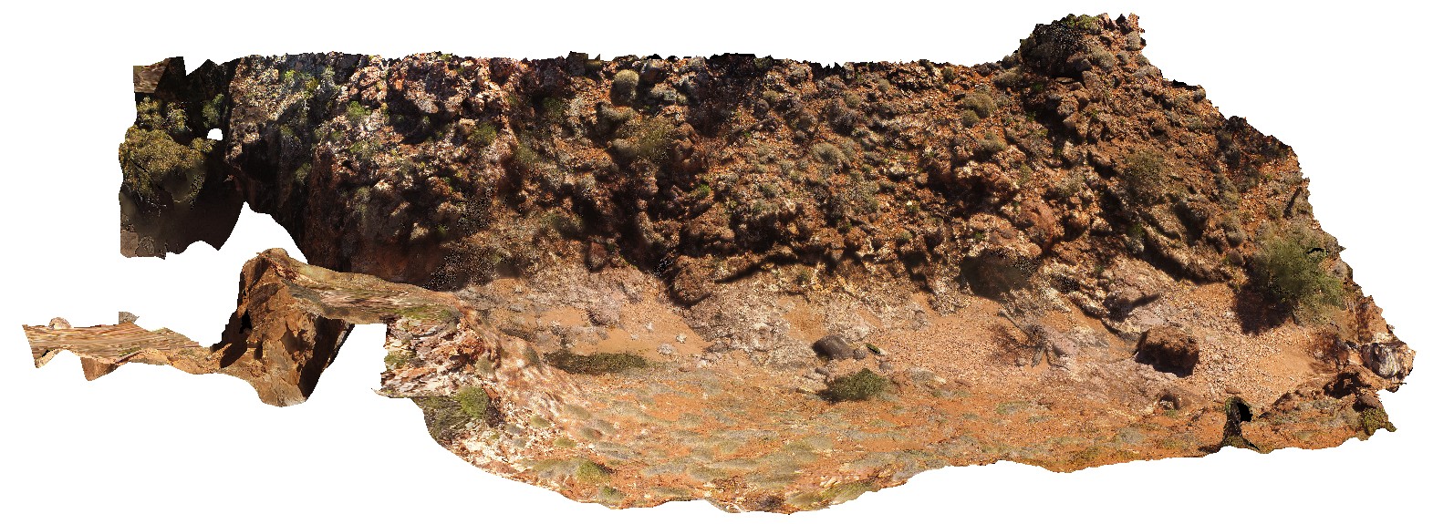
ArkaroolaUAV2 Map
 |
20 |
04/20/2016 12:28 p.m. |
UAV |
View of the Eastern face of Mt Gee, showing outcrop of Radium Ridge Breccia and Mt Gee Sinter, Arkaroola. Northern Flinders Ranges, S.A. |
300.00 |
-30.22948900000 |
139.34489100000 |
-9999.000 |
Radium Ridge Breccia, Mt Gee Sinter |
breccia, Sinter |
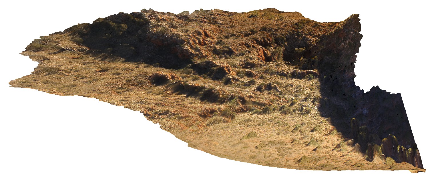
ArkaroolaUAV4 Map
 |
20 |
04/19/2016 11:33 a.m. |
UAV |
Photogrammetry of the waterfall outcrop under Mt Gee, Arkaroola. Shows brecciaed Radium Ridge Breccias with quartz veining in creek bed. Arkaroola. Northern Flinders Ranges, S.A. |
100.00 |
-30.22882100000 |
139.34549000000 |
-9999.000 |
Radium Ridge Breccia, quartz veining |
breccia |
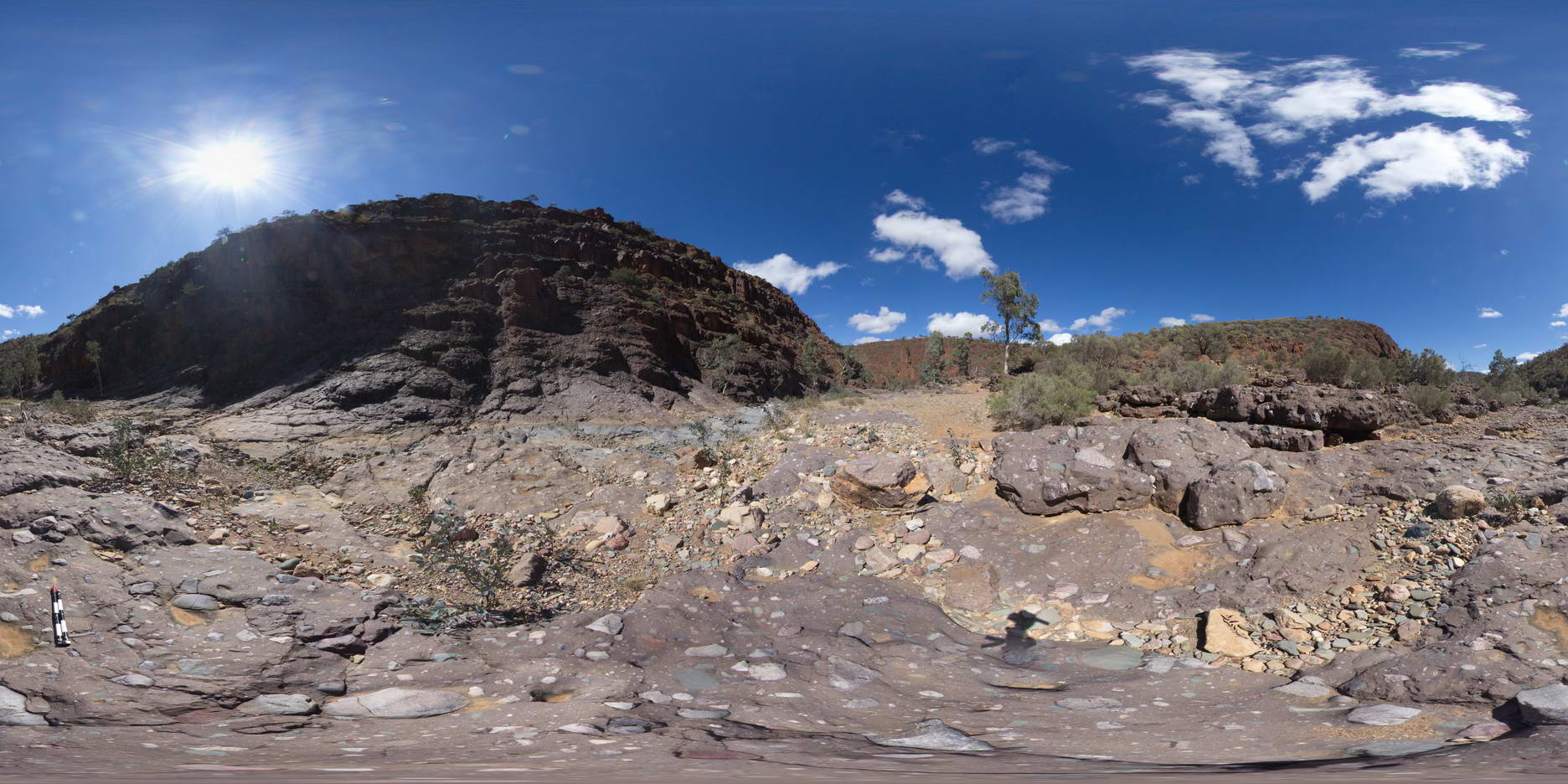
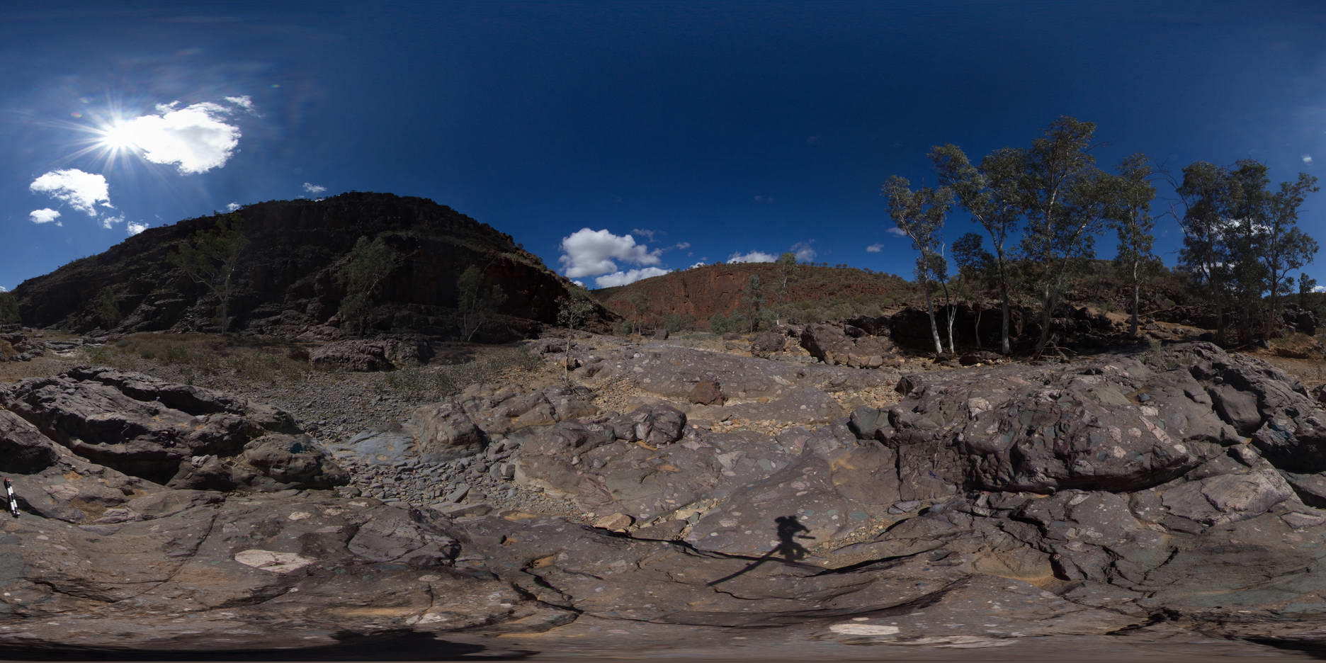
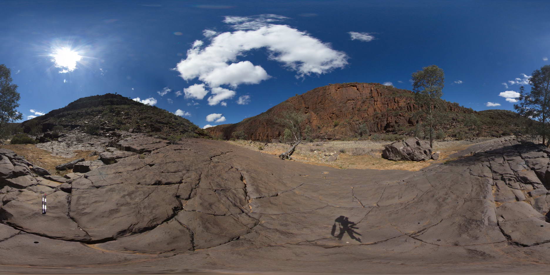
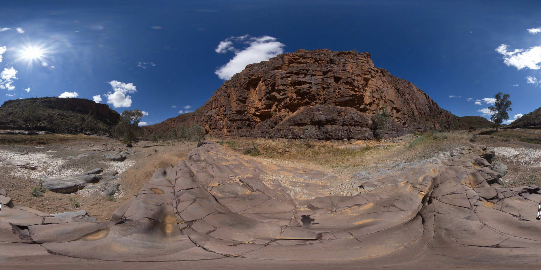
ARLTUN1 Map
 |
5 |
07/26/2016 4:13 p.m. |
3D |
outcrop of quartz-feldspar schist in Joker Creek. Arltunga Historical Reserve, N.T. |
7.00 |
-23.44475700000 |
134.73580000000 |
703.797 |
schist, metamorphic, structure |
schist |