HENBUAV1 Map
 |
0 |
07/29/2016 11:43 a.m. |
UAV |
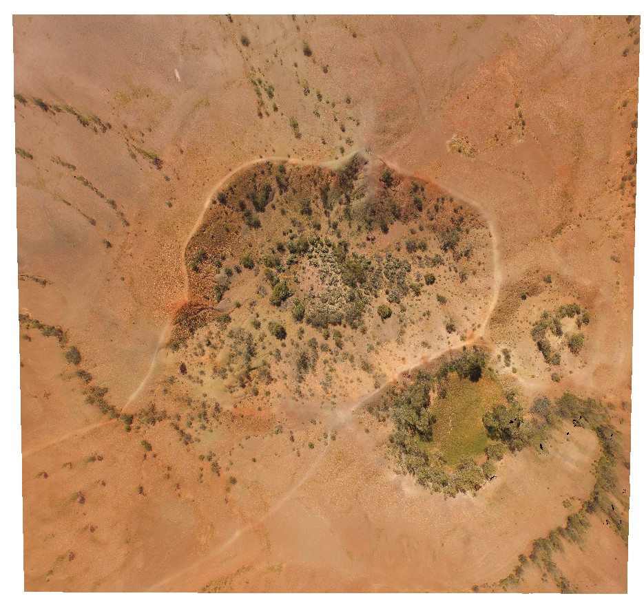
aerial view of Henbury impact craters. Henbury Meteorites Conservation Reserve. N.T. |
200.00 |
-24.57164500000 |
133.14883500000 |
460.694 |
meteorite impact craters, Henbury, Meteorites |
sediments |
IrwinRiverUAV1 Map
 |
0 |
05/19/2016 noon |
UAV |
overview of the gently dipping 'High Cliff' exposure. Permian unconformably overlain by Mesozoic, unconformably overlain by Quaternary sediments. Coal seam Conservation Park, Irwin River, W.A. |
50.00 |
-28.94557300000 |
115.54818400000 |
-9999.000 |
Permian unconformity, High Cliff exposure |
sandstone, ferricrete, siltstone |
KalbarriUAV1 Map
 |
0 |
05/20/2016 noon |
UAV |
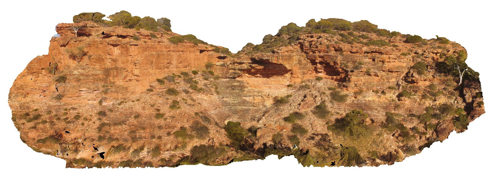
aerial view of small creek and waterfall in the Tumblagooda Sandstone. Hawks Head Lookout, Kalbarri National Park. W.A. |
200.00 |
-27.79011200000 |
114.46939300000 |
-9999.000 |
Tumblagooda Sandstone, waterfall |
sandstone |
KalbarriUAV2 Map
 |
0 |
05/20/2016 noon |
UAV |
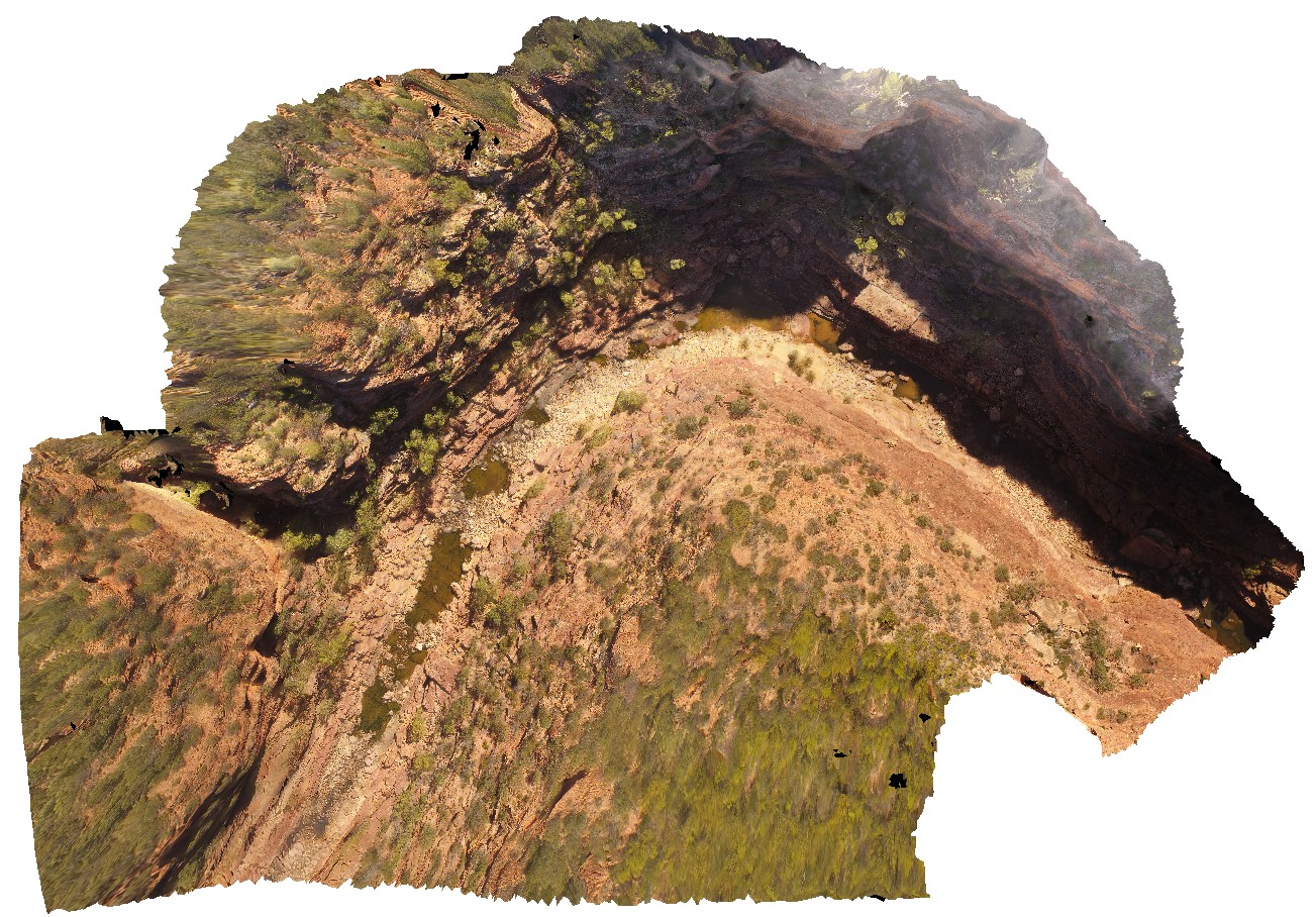
aerial view of Murchison River gorge and sandstone cliffs at the 'Z bend', Kalbarri National Park. W.A. |
200.00 |
-27.65389500000 |
114.45711900000 |
-9999.000 |
river gorge, cliff, Tumblagooda Sandstone |
sandstone |
KalbarriUAV3 Map
 |
0 |
05/20/2016 noon |
UAV |
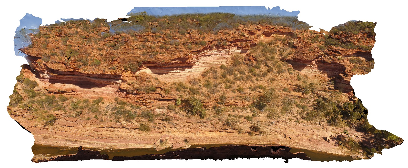
aerial view of Murchison River gorge and large outcrop, approximately 800m upstream from the 'Z bend', Kalbarri National Park. W.A. |
200.00 |
-27.65967000000 |
114.45595500000 |
-9999.000 |
river gorge, sandstone |
sandstone |
KalbarriUAV4 Map
 |
0 |
05/20/2016 noon |
UAV |
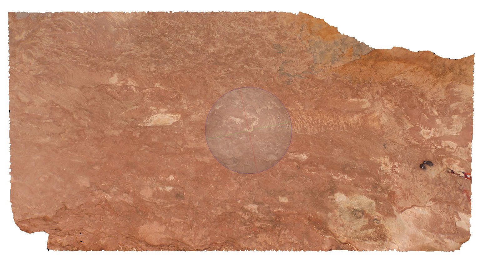
Cross bedded red sandstone in horizontal exposure. location at Red Bluff carpark, Kalbarri, W.A. |
20.00 |
-27.74398000000 |
114.14342000000 |
-9999.000 |
cross bedding, Tumblagooda Sandstone |
sandstone |
KalbarriUAV5 Map
 |
0 |
05/20/2016 noon |
UAV |
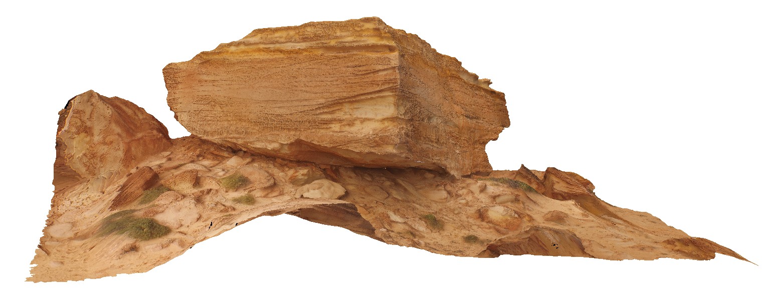
large overturned block with cross bedding and vertical burrows. Red Bluff, Kalbarri, W.A. |
20.00 |
-27.74547600000 |
114.13947200000 |
-9999.000 |
sandstone, bioturbation |
sandstone |
KalbarriUAV6 Map
 |
0 |
01/01/9999 midnight |
UAV |
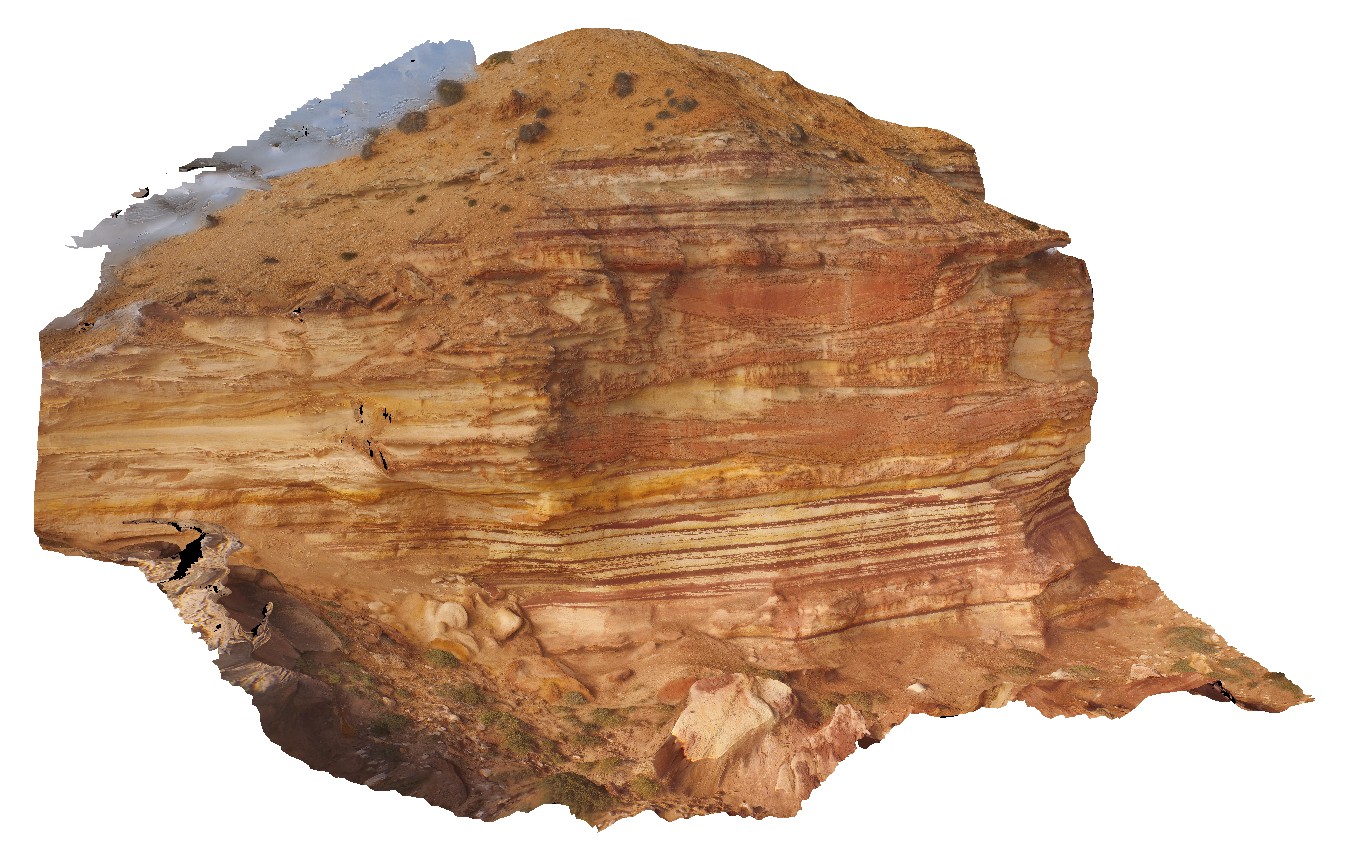
main cliff at Red Bluff, showing flat lying, thinly bedded or cross bedded sandstone of the Tumblagooda Sandstone. Kalbarri, W.A. |
28.00 |
-27.74557200000 |
114.13969200000 |
-9999.000 |
Tumblagooda Sandstone, cross beds, sedimentology |
sandstone |
KarijiniUAV1 Map
 |
0 |
05/29/2016 noon |
UAV |
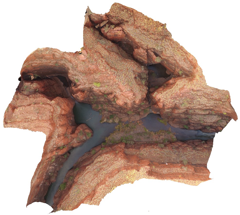
aerial view of confluence of Handcock and Weano gorges. Brockman Iron Formation. Karijini National Park. W.A. |
1000.00 |
-22.36102700000 |
118.28921700000 |
-9999.000 |
gorge, Brockman Iron Formation, banded iron formation, sedimentology |
BIF |
KarijiniUAV2 Map
 |
0 |
05/29/2016 noon |
UAV |
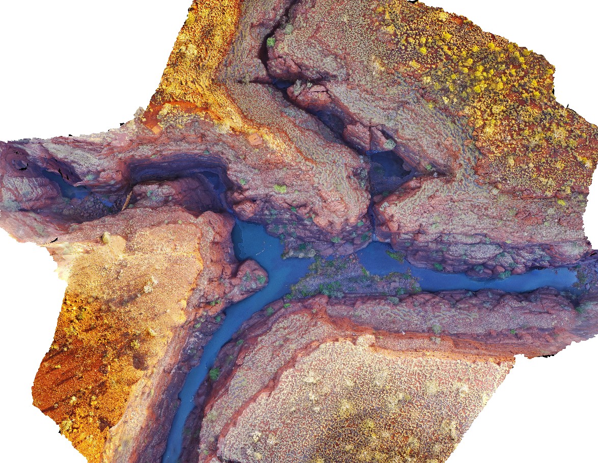
aerial view of confluence of Handcock and Weano gorges. Brockman Iron Formation. Karijini National Park. W.A. |
1000.00 |
-22.36123000000 |
118.28945000000 |
-9999.000 |
Banded Iron Formation, sedimentology, Brockman Iron Formation |
BIF |
KarijiniUAV3 Map
 |
0 |
05/29/2016 noon |
UAV |
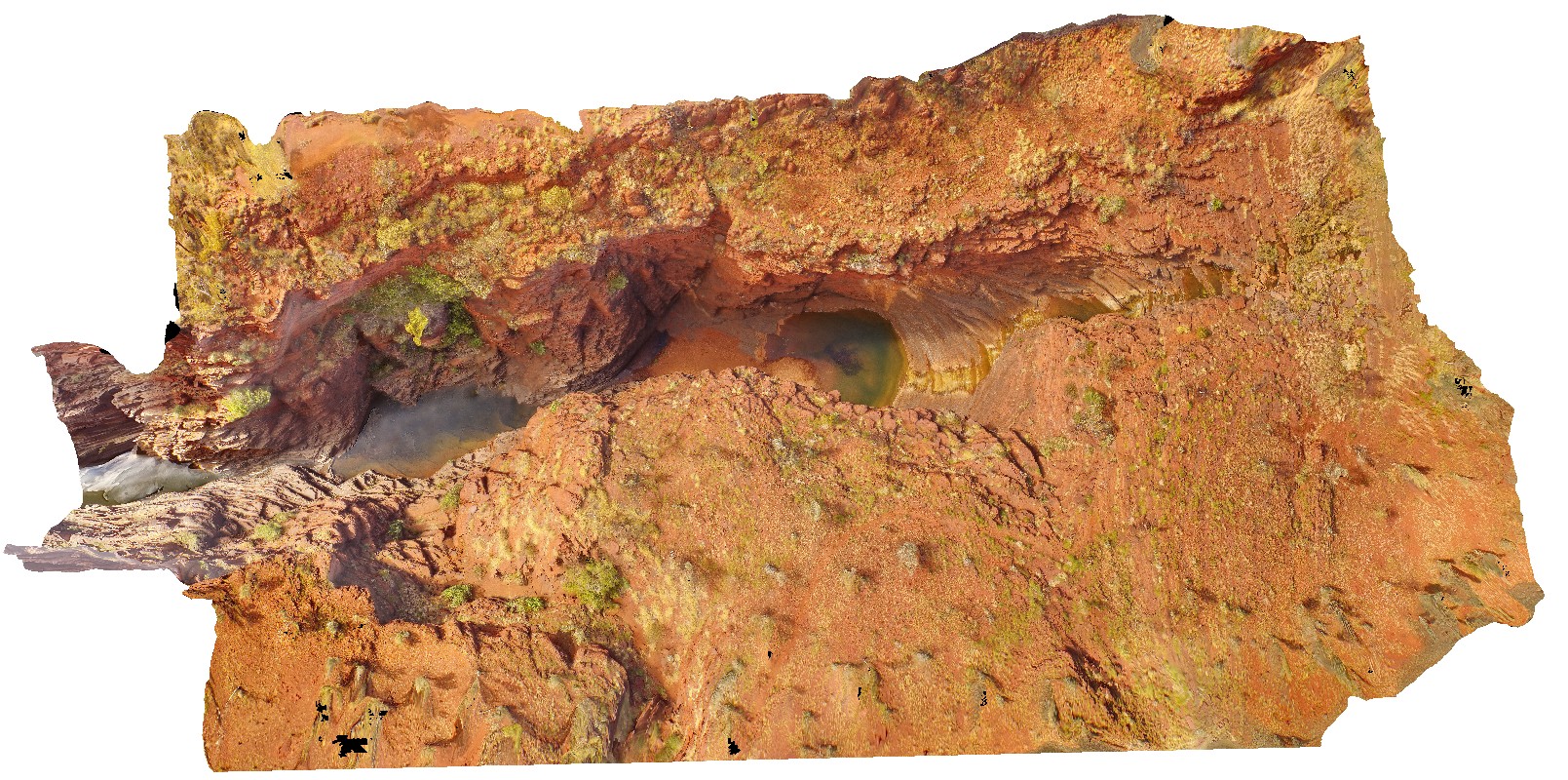
aerial view of Joffre Falls and Gorge, showing section through the Brockman Iron Formation. Karijini National Park. W.A. |
200.00 |
-22.36123000000 |
118.28945000000 |
-9999.000 |
Joffre Gorge, Brockman Iron Formation, banded iron formation |
BIF |
KatherineUAV1 Map
 |
0 |
06/22/2016 noon |
UAV |
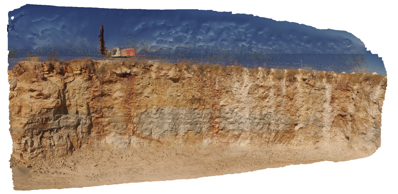
view of finely laminated limestone in quarry wall. Katherine township, N.T. |
14.00 |
-14.50562000000 |
132.33664000000 |
-9999.000 |
limestone, laminated beds |
limestone |
KatherineUAV2 Map
 |
0 |
06/22/2016 noon |
UAV |
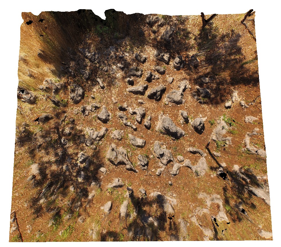
aerial view of karst towers in very thickly bedded limestone. N/W of Katherine township, N.T. |
14.00 |
-14.40787000000 |
132.19470000000 |
-9999.000 |
karst landscape, limestone, weathering feature |
limestone |
KingstonUAV1 Map
 |
20 |
07/15/2016 noon |
UAV |
aerial view of Permian sandstone contact with Jurassic dolerite. Shore exposure south of Kingston Beach, Tas. |
100.00 |
-42.98581000000 |
147.32770000000 |
-9999.000 |
Permian sandstone, Jurassic dolerite, intrusive contact |
sandstone, dolerite |
MarbleBarUAV1 Map
 |
0 |
06/01/2016 noon |
UAV |
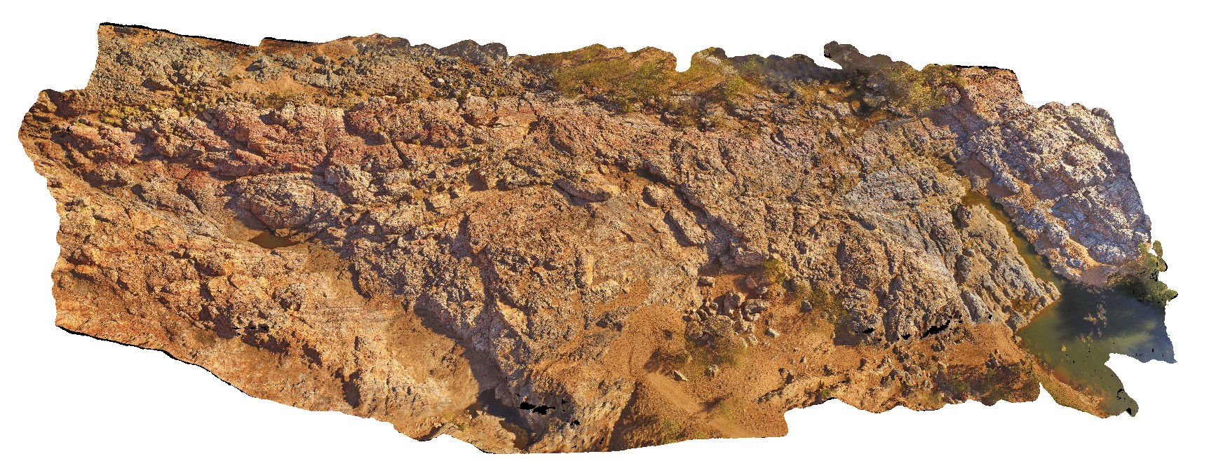
aerial view of chert layers east of Coongan River. Marble Bar, W.A. |
50.00 |
-21.18658320000 |
119.71182720000 |
-9999.000 |
layered chert, Marble Bar Chert Member |
chert |
MarbleBarUAV2 Map
 |
0 |
06/01/2016 noon |
UAV |
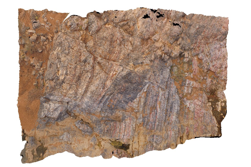
aerial view of grey homogenous chert, 'intruding / brecciating' moderately dipping layered chert. The Marble Bar, Coongan River, W.A. |
100.00 |
-21.18658320000 |
119.71182720000 |
-9999.000 |
layered chert, Marble Bar Chert Member, brecciated |
chert |
MarbleBarUAV3 Map
 |
0 |
06/01/2016 noon |
UAV |
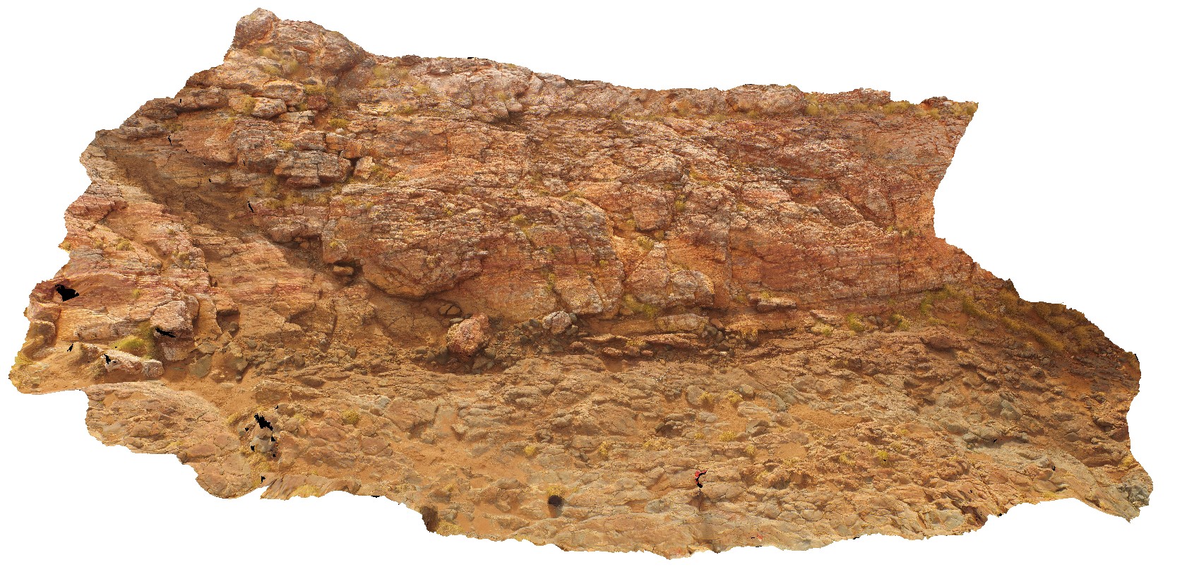
aerial view of contact between Marble Bar Chert Member and pillow basalt. The Marble Bar, Coongan River, W.A. |
25.00 |
-21.18658320000 |
119.71182720000 |
-9999.000 |
geological contact, chert, pillow basalt |
chert, basalt |
MarbleBarUAV4 Map
 |
0 |
06/01/2016 noon |
UAV |
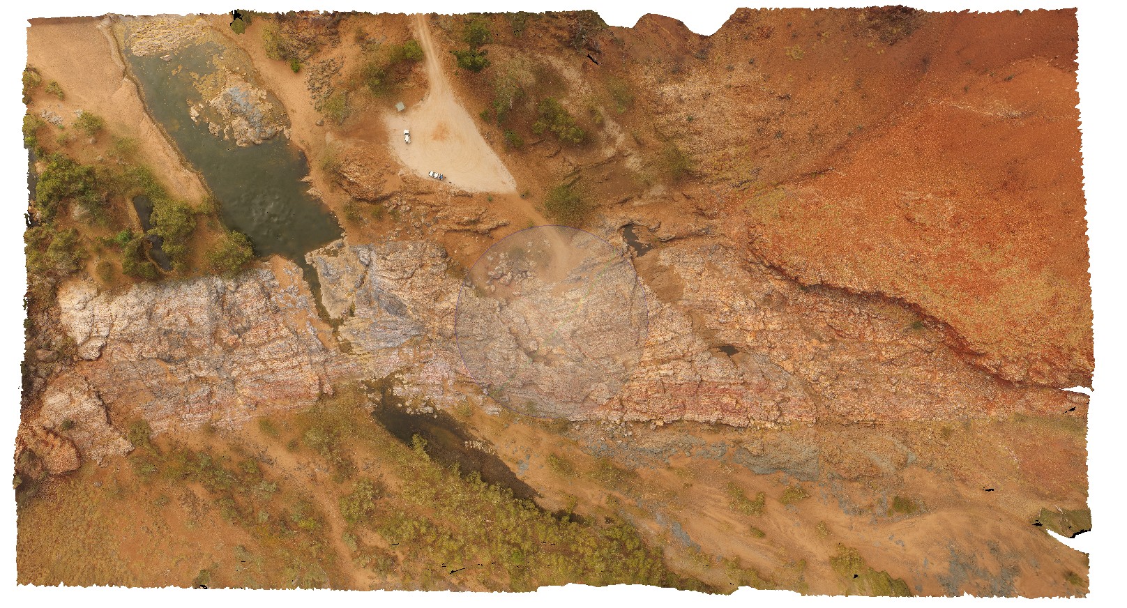
high aerial view of The Marble Bar and surrounding geology, including the Apex basalt and Duffer Formation. Marble Bar, Coongan River, W.A. |
100.00 |
-21.18658320000 |
119.71182720000 |
-9999.000 |
geological contact, basalt, chert, conformable contact |
chert, basalt, volcanics |
MtBlairUAV1 Map
 |
0 |
05/28/2016 noon |
UAV |
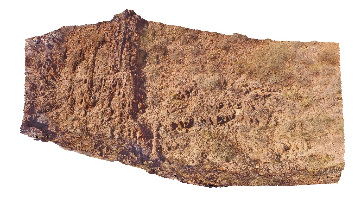
angular Ashburton-Capricorn unconformity, with open folds in the Ashburton rocks. Near Mount Blair on the Ashburton - Meekatharra Road, W.A. |
0.00 |
-23.44284800000 |
117.13132500000 |
-9999.000 |
angular unconformity, Ashburton-Capricorn unconformity |
siltstone, siltstone |
MullewaUAV1 Map
 |
0 |
05/19/2016 noon |
UAV |
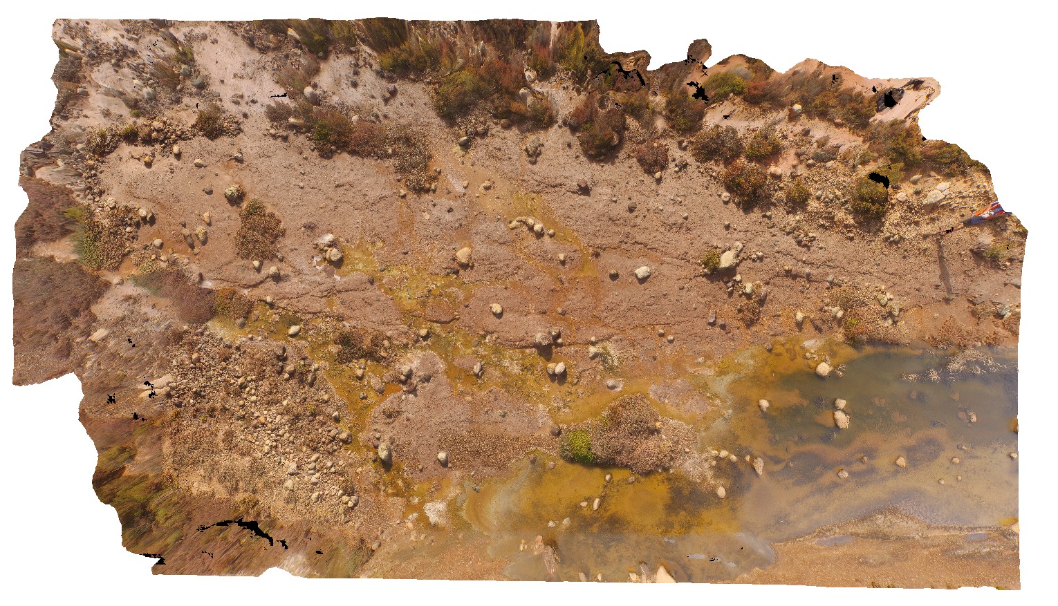
pavement of matrix supported, polymict Permo-Triassic glacial diamictite with poorly sorted sub angular clasts. Yuna-Tenindewa Road, Mullewa, W.A. |
50.00 |
-28.55554200000 |
115.25380300000 |
-9999.000 |
diamictite, sedimentology |
diamictite |
NDALAUAV1 Map
 |
0 |
07/27/2016 2:27 p.m. |
UAV |
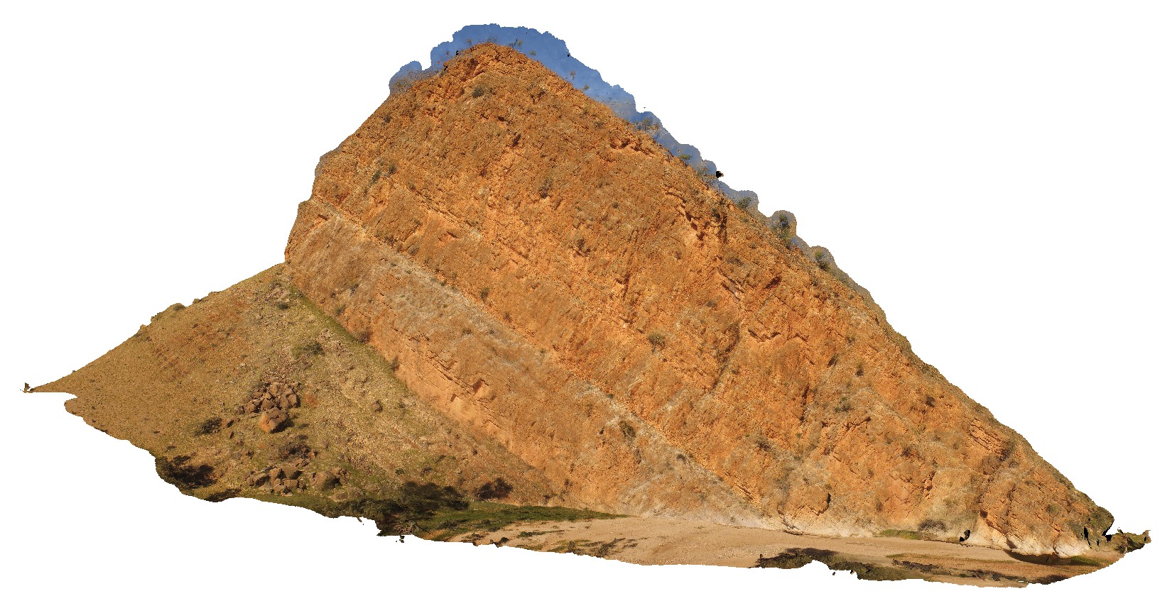
large cliff with steeply dipping strata. N'Dala Gorge. Near Ross River, N.T. |
100.00 |
-23.60624600000 |
134.49336300000 |
491.971 |
sediments, dip, structure, fold |
sediments |
PeronUAV1 Map
 |
0 |
05/23/2016 noon |
UAV |
flat lying, bedded sandstone cliff with overlaying aeolian sand containing rhizomes. Cape Peron, Shark Bay, W.A. |
10.00 |
-25.51383800000 |
113.51588500000 |
-9999.000 |
red sandstone, root structures, soil concretions, unconformity |
sandstone, sand |
PineCreekUAV1 Map
 |
0 |
06/25/2016 noon |
UAV |
overview of road cutting, showing tight to open folds with sheared limbs in thinly banded mudstone. Kakadu Highway, N.T. |
25.00 |
-13.65349000000 |
132.15392000000 |
-9999.000 |
sheared fold limb, fold, structure, mudstone |
mudstone |
PingandyUAV1 Map
 |
0 |
05/28/2016 noon |
UAV |
aerial view of outcrop unconformity between the Edmund Basin and the Ashburton Formation. 'Tchintaby Ridge'. Ashburton Downs - Meekatharra Road, W.A. |
100.00 |
-23.98458850000 |
117.92190660000 |
-9999.000 |
unconformity |
sandstone, sandstone |
PingandyUAV2 Map
 |
0 |
05/28/2016 noon |
UAV |
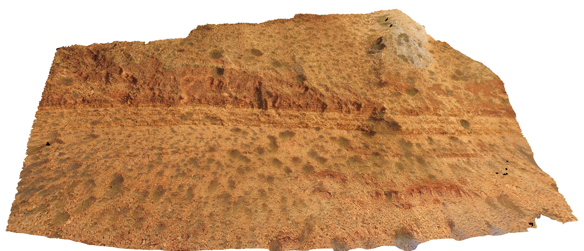
detailed aerial view of outcrop unconformity between the Edmund Basin and the Ashburton Formation. 'Tchintaby Ridge'. Ashburton Downs - Meekatharra Road, W.A. |
50.00 |
-23.98536700000 |
117.92202800000 |
-9999.000 |
Tchintaby Ridge unconformity, Ashburton Formation, Edmund Basin |
sandstone, sandstone |


