PtMacquarieFSP10 Map
 |
5 |
01/01/9999 midnight |
FSP |
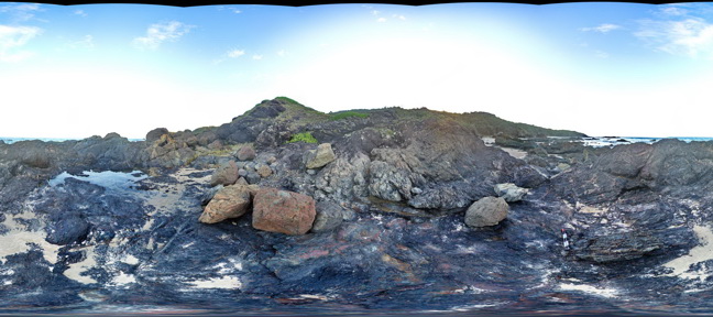
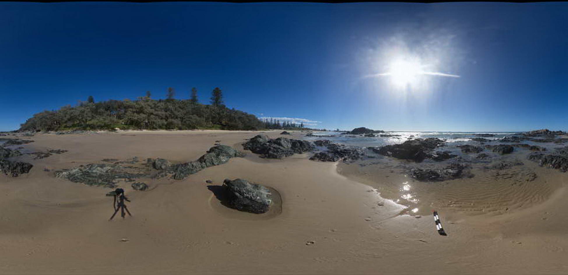
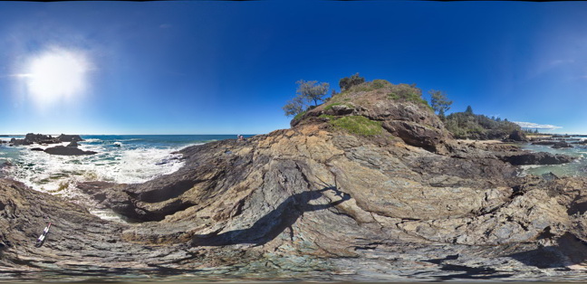
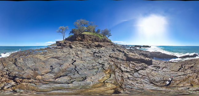
View of melange containing basalt and chert. Cambrian Port Macquarie Serpentinite melange |
50.00 |
-31.46465000000 |
152.93478000000 |
1.000 |
melange |
basalt, chert |
PtMacquarieFSP11 Map
 |
5 |
01/01/9999 midnight |
FSP |
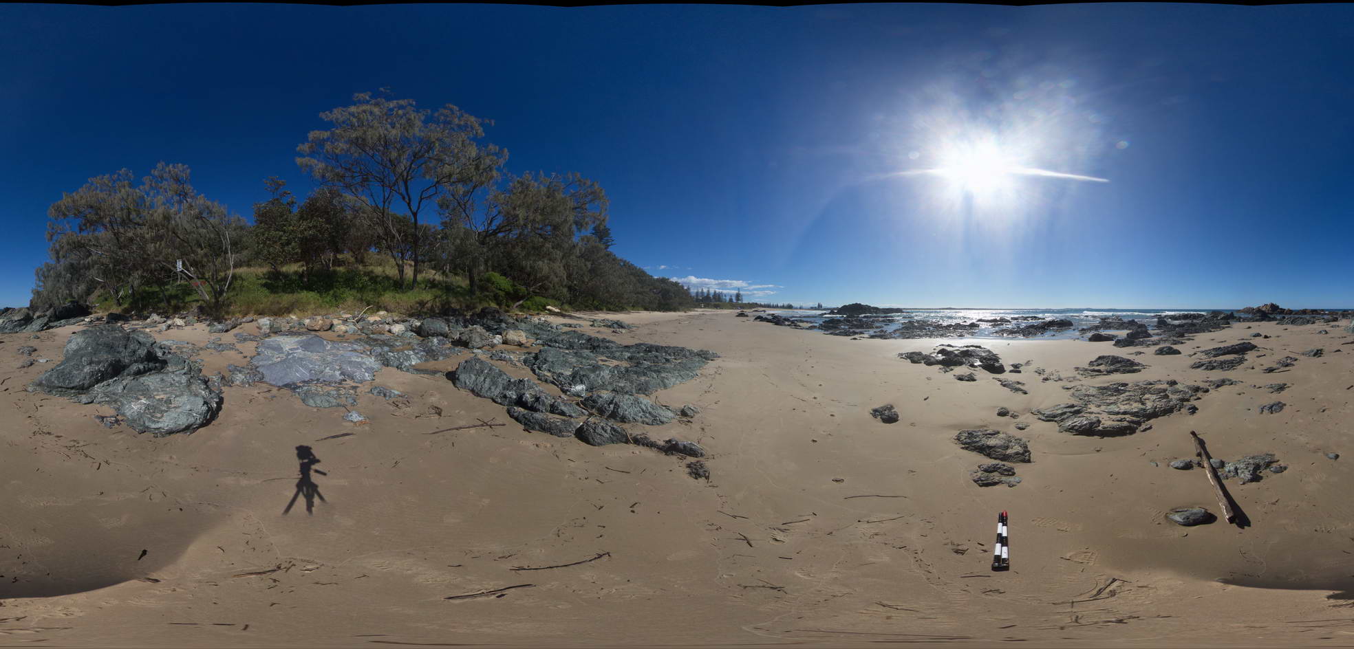
View of melange containing basalt and chert. Cambrian Port Macquarie Serpentinite melange |
50.00 |
-31.46434000000 |
152.93472000000 |
0.000 |
melange |
basalt, chert |
PtMacquarieFSP12 Map
 |
5 |
01/01/9999 midnight |
FSP |
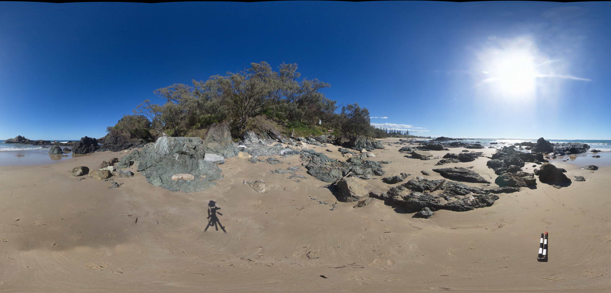
View of melange containing basalt and chert. Cambrian Port Macquarie Serpentinite melange |
50.00 |
-31.46387000000 |
152.93469000000 |
0.000 |
melange |
basalt, chert |
PtMacquarieFSP13 Map
 |
5 |
01/01/9999 midnight |
FSP |
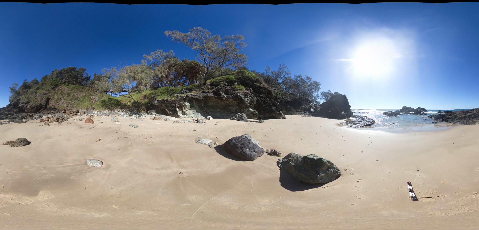
View of melange containing basalt and chert. Cambrian Port Macquarie Serpentinite melange |
50.00 |
-31.46342000000 |
152.93491000000 |
0.000 |
melange |
basalt, chert |
PtMacquarieFSP2 Map
 |
5 |
01/01/9999 midnight |
FSP |
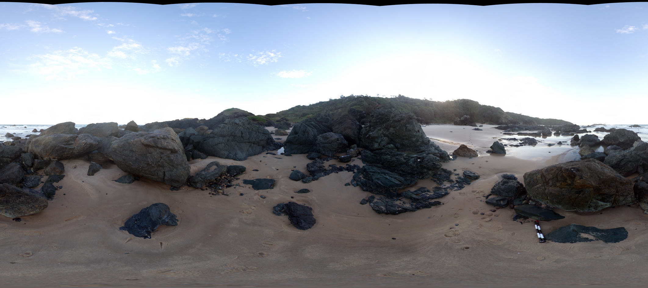
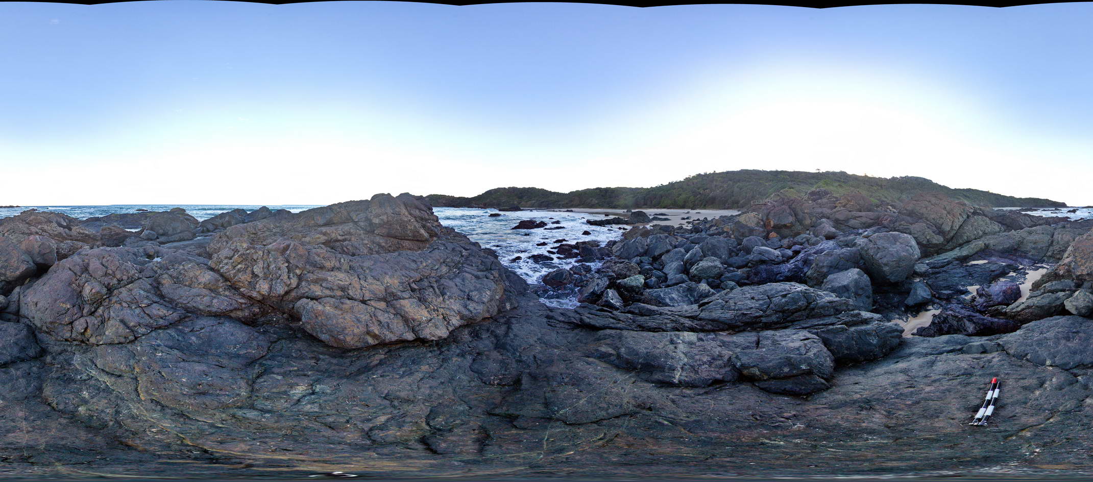
View of outcrops of the Port Macquarie Serpentinite melange |
50.00 |
-31.42977000000 |
152.92188000000 |
0.000 |
melange, ultramafic, igneous |
melange |
PtMacquarieFSP3 Map
 |
5 |
01/01/9999 midnight |
FSP |
View of outcrops of the Cambrian Port Macquarie Serpentinite melange |
50.00 |
-31.42994000000 |
152.92215000000 |
0.000 |
melange, ultramafic, igneous |
melange |
PtMacquarieFSP4 Map
 |
5 |
01/01/9999 midnight |
FSP |
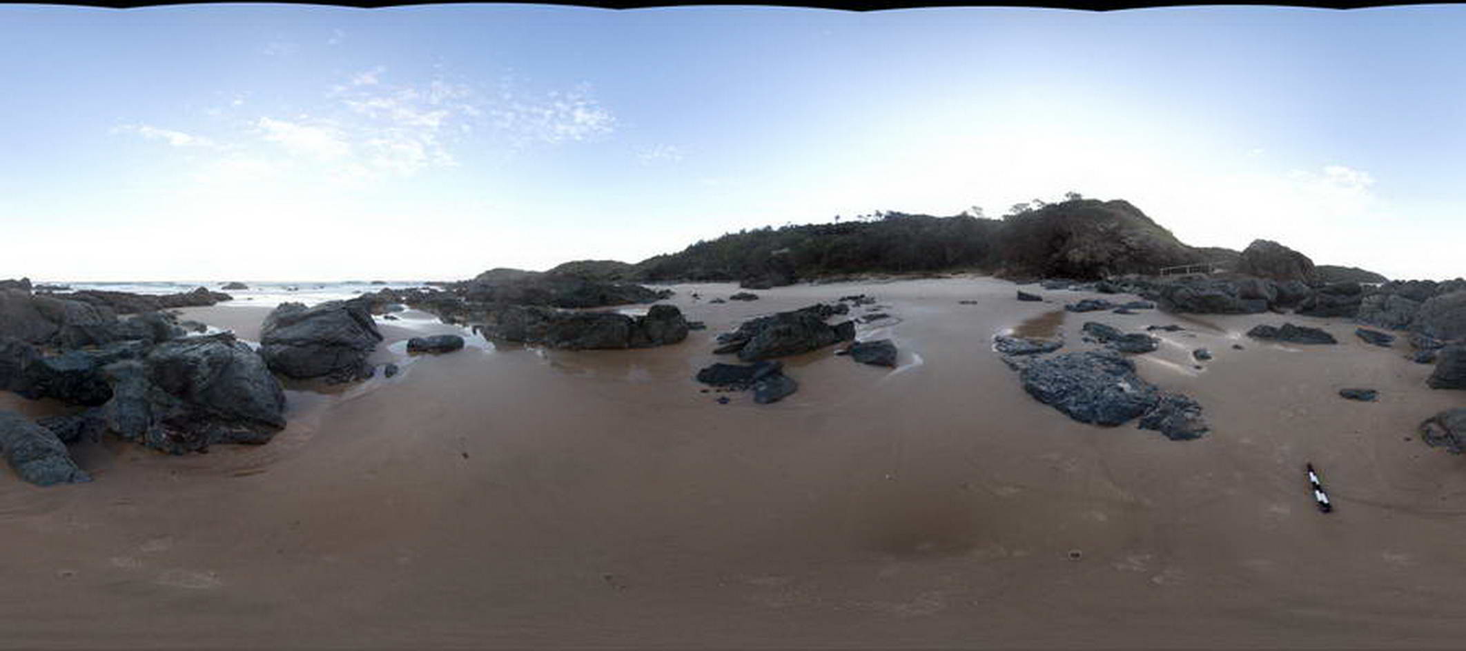
View of outcrops of the Cambrian Port Macquarie Serpentinite melange |
50.00 |
-31.42990000000 |
152.92255000000 |
0.000 |
melange, ultramafic, igneous |
melange |
PtMacquarieFSP5 Map
 |
5 |
01/01/9999 midnight |
FSP |
View of outcrops of the Cambrian Port Macquarie Serpentinite melange |
50.00 |
-31.43016000000 |
152.92300000000 |
0.000 |
melange, ultramafic, igneous |
melange |
PtMacquarieFSP6 Map
 |
5 |
01/01/9999 midnight |
FSP |
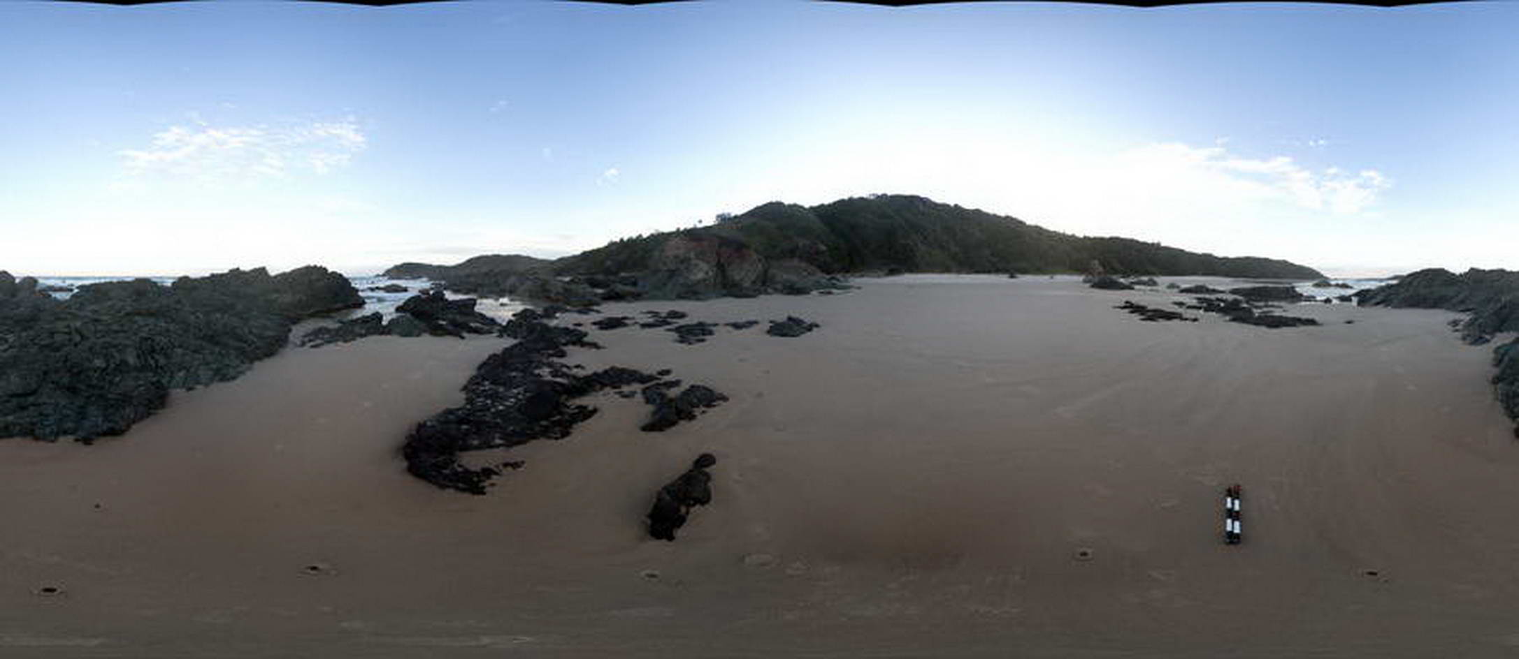
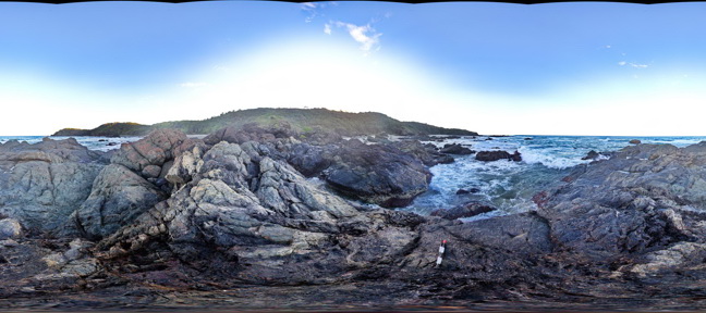
View of folded chert unit within the Cambrian Port Macquarie Serpentinite melange |
50.00 |
-31.43001000000 |
152.92348000000 |
1.000 |
melange |
chert |
PtMacquarieFSP7 Map
 |
5 |
01/01/9999 midnight |
FSP |
View of folded and faulted chert unit within the Cambrian Port Macquarie Serpentinite melange |
50.00 |
-31.43009000000 |
152.92384000000 |
2.000 |
fault, melange |
chert |
PtMacquarieFSP8 Map
 |
5 |
01/01/9999 midnight |
FSP |
View of melange containing basalt and chert. Cambrian Port Macquarie Serpentinite melange |
50.00 |
-31.46490000000 |
152.93500000000 |
1.000 |
melange |
basalt, chert |
PtMacquarieFSP9 Map
 |
5 |
01/01/9999 midnight |
FSP |
View of melange containing basalt and chert. Cambrian Port Macquarie Serpentinite melange |
50.00 |
-31.46476000000 |
152.93495000000 |
1.000 |
melange |
basalt, chert |
PtNeill1 Map
 |
0 |
10/20/2015 3:08 p.m. |
3D |
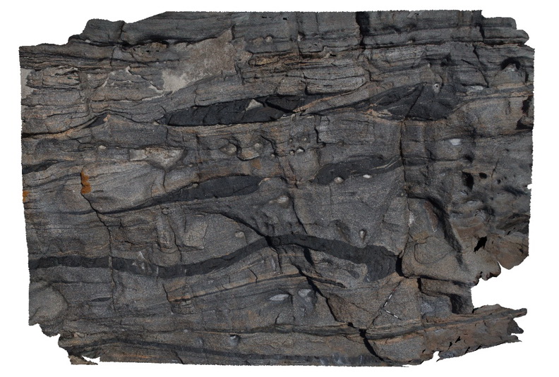
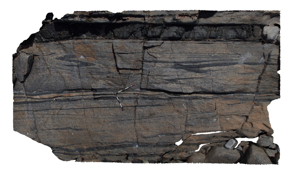
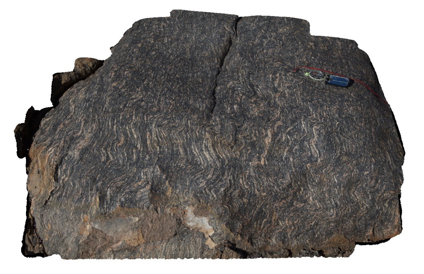
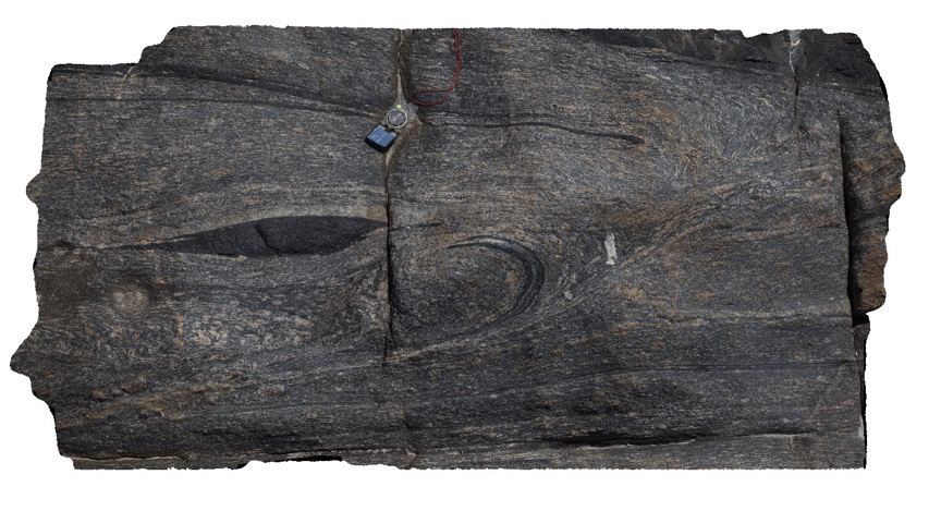
large exposure of mylonitised granite (Lincoln Complex) and mafic dykes, with mafic boudins, at Pioneer Lookout. Point Neill. |
10.00 |
-34.10679000000 |
136.35027000000 |
-9999.000 |
mylonite, boudinage |
mylonite |
PtNeill10 Map
 |
0 |
10/20/2015 3:10 p.m. |
3D |
detail of disrupted dyke in mylonite, Point Neill. |
0.60 |
-34.10531000000 |
136.35062000000 |
-9999.000 |
mylonite |
mylonite |
PtNeill11 Map
 |
0 |
10/20/2015 3:11 p.m. |
3D |
detail of boudins of mafic dyke within banded mylonite. |
4.50 |
-34.10535000000 |
136.35062000000 |
-9999.000 |
mylonite, boudin |
mylonite |
PtNeill12 Map
 |
0 |
10/20/2015 3:11 p.m. |
3D |
detail of rotated grains / porphyroblasts in mylonite. |
0.30 |
-34.10534000000 |
136.35060000000 |
-9999.000 |
mylonite, rotated boudins |
mylonite |
PtNeill13 Map
 |
0 |
10/20/2015 3:12 p.m. |
3D |
folded and disrupted mafic dykes / bands in mylonite. |
6.00 |
-34.10628000000 |
136.35046000000 |
-9999.000 |
mylonite, mylonitic folds |
mylonite |
PtNeill14 Map
 |
0 |
10/20/2015 3:12 p.m. |
3D |
folded and sheared foliation in granitic gneiss, Point Neill. |
0.40 |
-34.12452000000 |
136.35170000000 |
-9999.000 |
mylonite, gneiss, foliation |
gneiss |
PtNeill15 Map
 |
0 |
10/20/2015 3:13 p.m. |
3D |
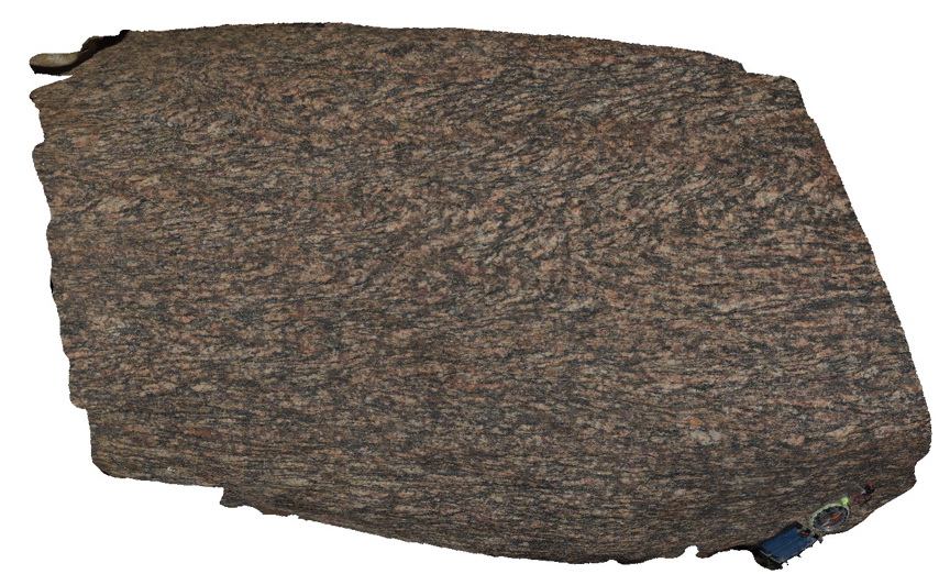
Weathered surface of mylonitised granitic gneiss, showing resistant felsic minerals. Point Neill. |
0.30 |
-34.12477000000 |
136.35162000000 |
-9999.000 |
mylonite, gneiss |
gneiss |
PtNeill16 Map
 |
0 |
10/20/2015 3:13 p.m. |
3D |
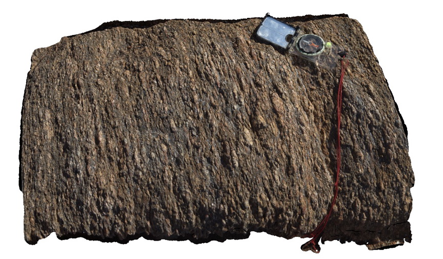
mylonitic fabric in granitic gneiss, |
0.40 |
-34.12481000000 |
136.35172000000 |
-9999.000 |
mylonitic fabric, gneiss, metamorphic |
gneiss |
PtNeill17 Map
 |
0 |
10/20/2015 3:14 p.m. |
3D |
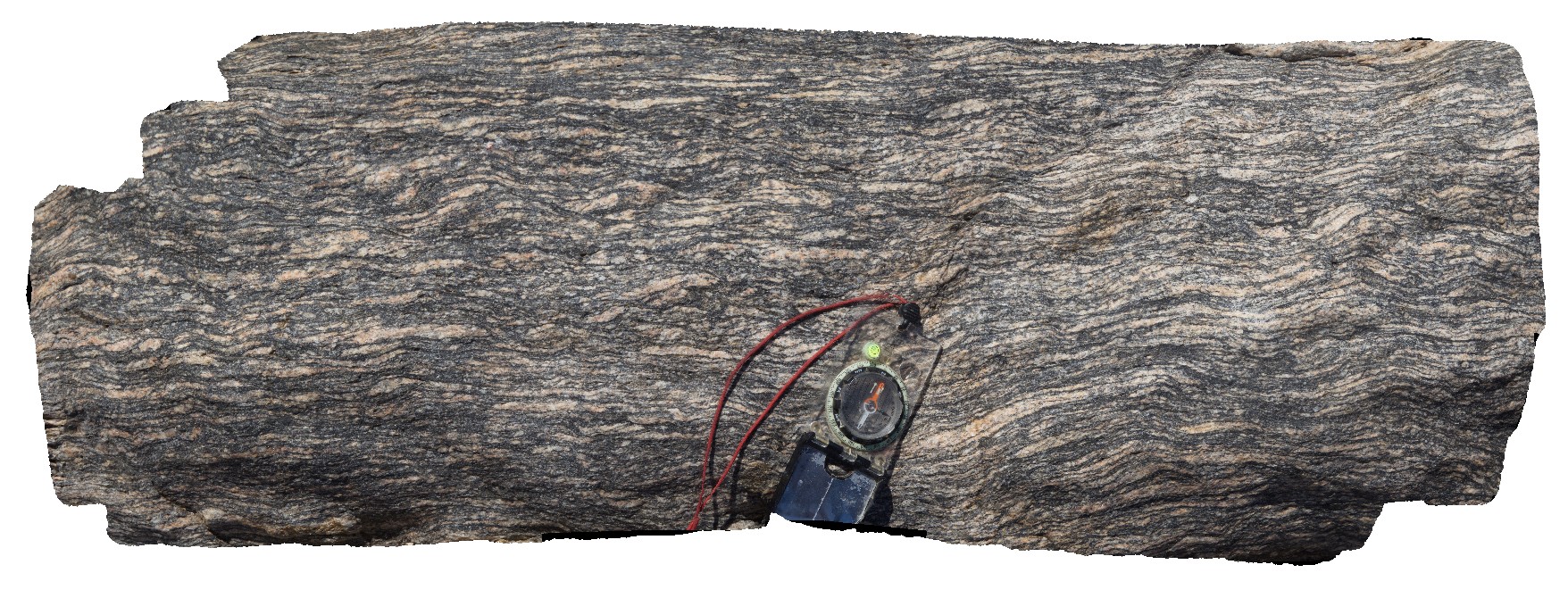
stretched and folded fabric in banded granitic gneiss, port Neill. |
0.60 |
-34.12480000000 |
136.35176000000 |
-9999.000 |
gneiss, folding |
gneiss |
PtNeill2 Map
 |
0 |
10/20/2015 3:14 p.m. |
3D |
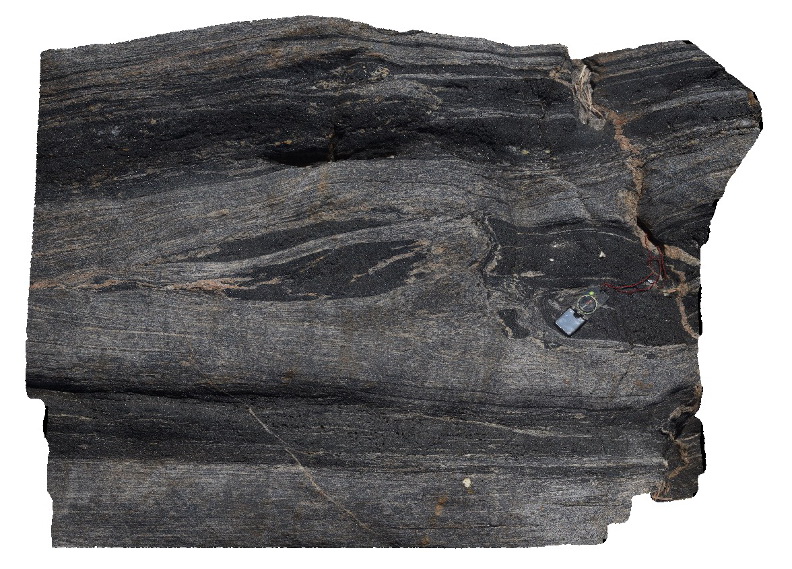
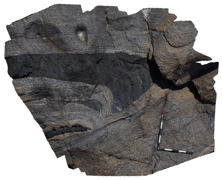
detail of sheared dyke contact within mylonite in photo PtNeill1. |
3.00 |
-34.10674000000 |
136.35034000000 |
-9999.000 |
mylonite |
mylonite |
PtNeill3 Map
 |
0 |
10/20/2015 3:15 p.m. |
3D |
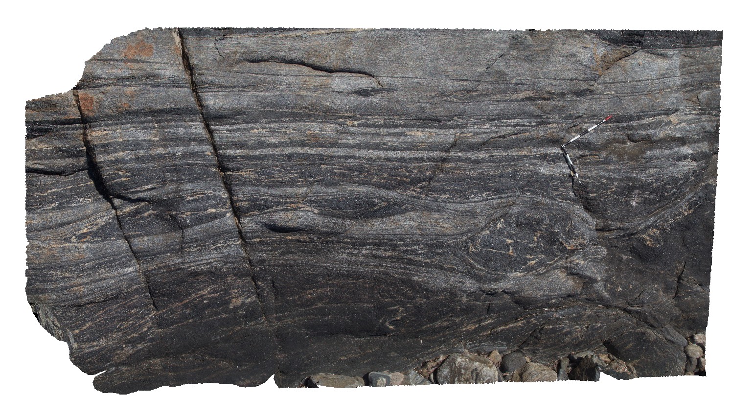
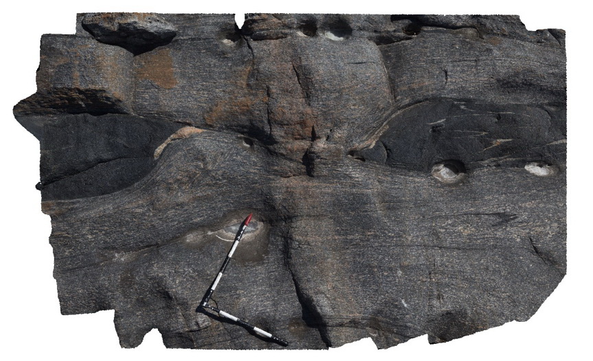
Image showing detail of boudin neck in mafic dyke within image PtNeill1. Image also shows folding. Pioneer Lookout, Point Neill. |
2.50 |
-34.10674000000 |
136.35030000000 |
-9999.000 |
boudinage, mylonite |
mylonite |
PtNeill4 Map
 |
0 |
10/20/2015 3:15 p.m. |
3D |
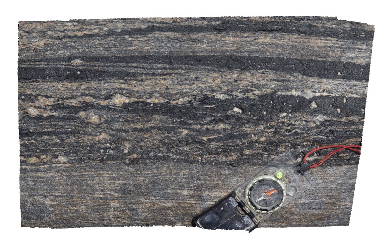
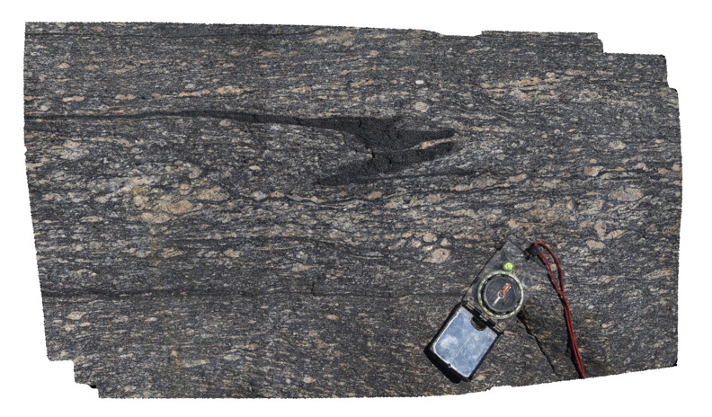
Image showing detail of texture in mylonite, from image PtNeill3. Pioneer Lookout, Point Neill. |
0.30 |
-34.10674000000 |
136.35030000000 |
-9999.000 |
mylonite, kinematic indicators |
mylonite |
PtNeill5 Map
 |
0 |
10/20/2015 3:16 p.m. |
3D |
Image showing detail of texture in mylonite, from image PtNeill1. Pioneer Lookout, Point Neill. |
1.00 |
-34.10680000000 |
136.35030000000 |
-9999.000 |
mylonite, boudinage, tectonic |
mylonite |