Simpg3 Map
 |
5 |
01/01/9999 midnight |
3D |
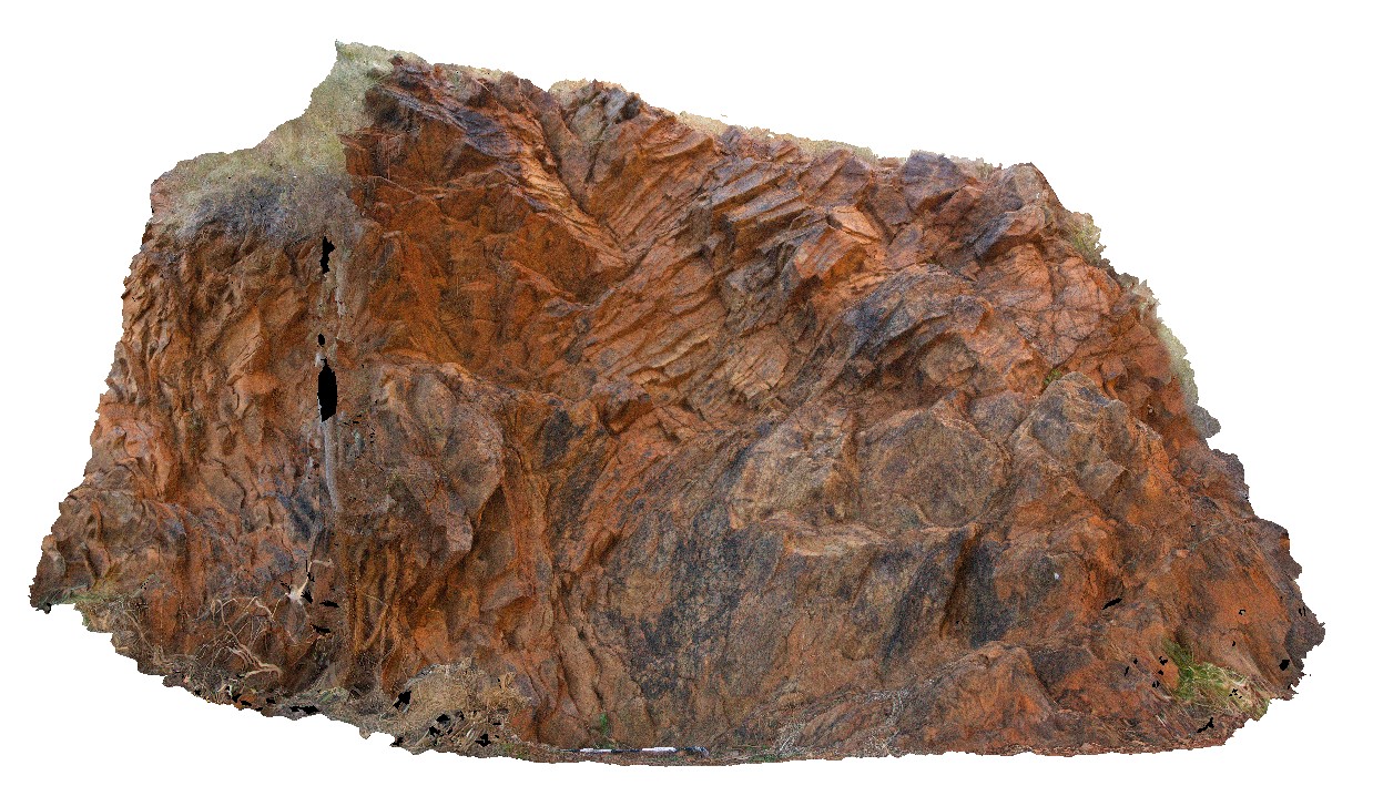
open folds in Simpson Gap Metasediments. Simpsons Gap. N.T. |
5.00 |
-23.67586000000 |
133.71878000000 |
-9999.000 |
fold, metasediments, open fold, plunge, fold axis, structure |
metasediments |
SimpgFSP1 Map
 |
5 |
01/01/9999 midnight |
FSP |
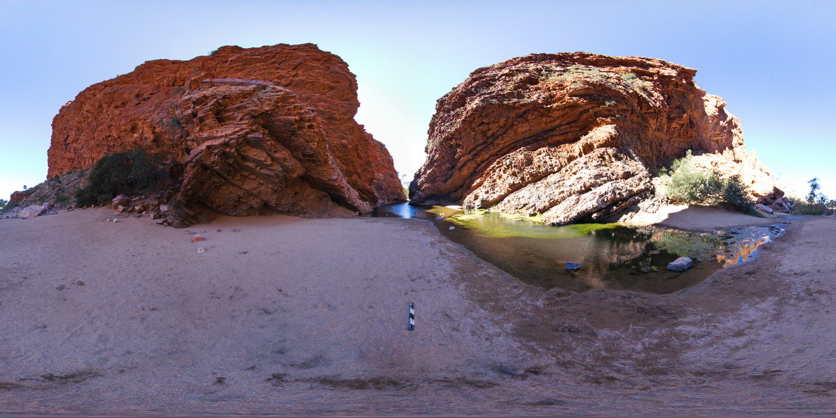
view of contact / unconformity between Simpson Gap Metasediments and Heavitree Sandstone. Simpsons Gap. N.T. |
500.00 |
-23.67420000000 |
133.71912000000 |
-9999.000 |
unconformity, metasediments, open fold, fold, structure |
metasediments, sandstone |
Sisters1 Map
 |
20 |
03/16/2015 2:37 p.m. |
3D |
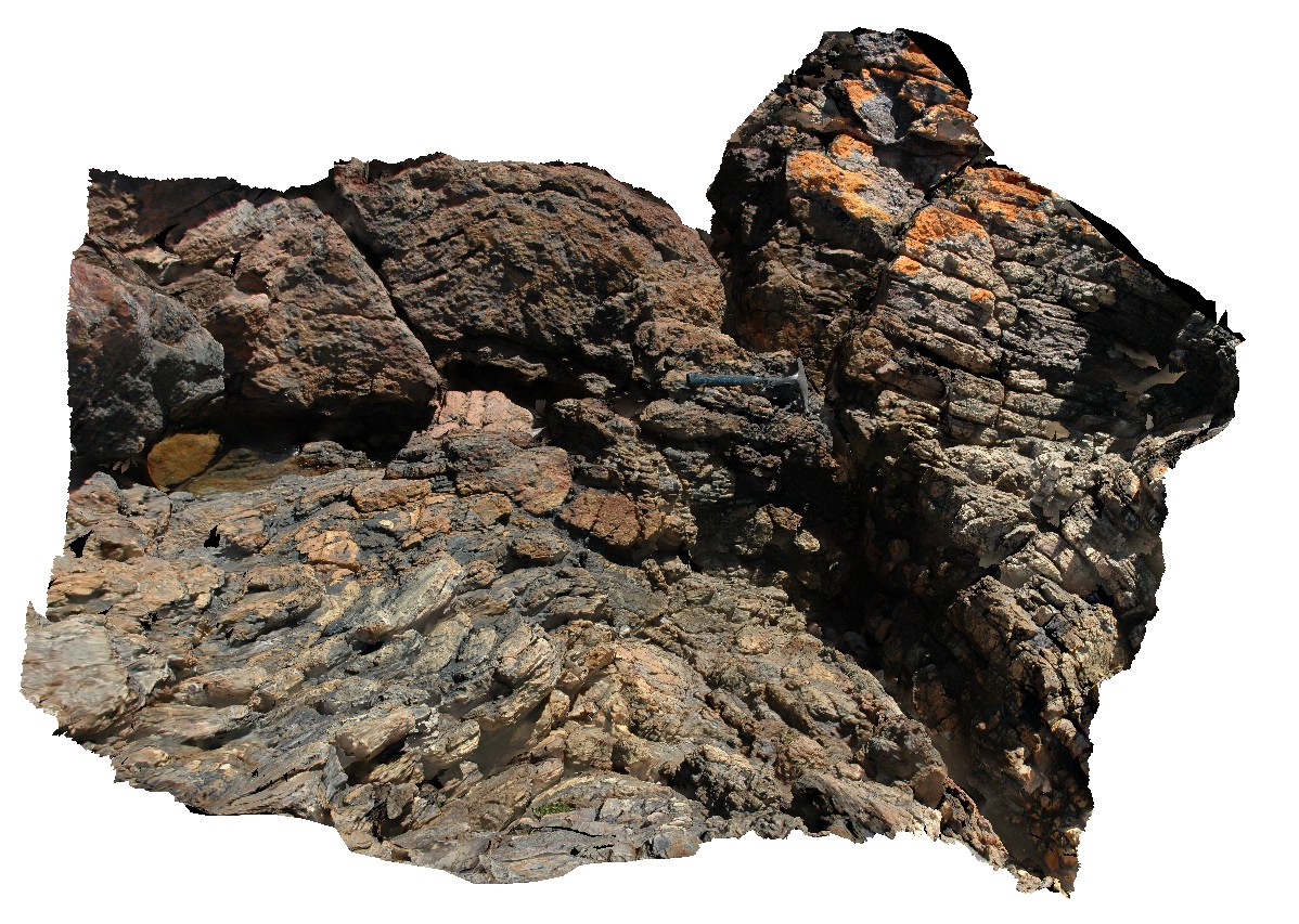
folded, blocky metasandstone with lesser mudstone? Beds. The three Sisters, Penguin Road, northern Tasmania. |
2.50 |
-41.12728293000 |
146.12701010000 |
3.000 |
metasediments, fold, structure |
metasediments |
Sisters2 Map
 |
20 |
03/16/2015 2:37 p.m. |
3D |
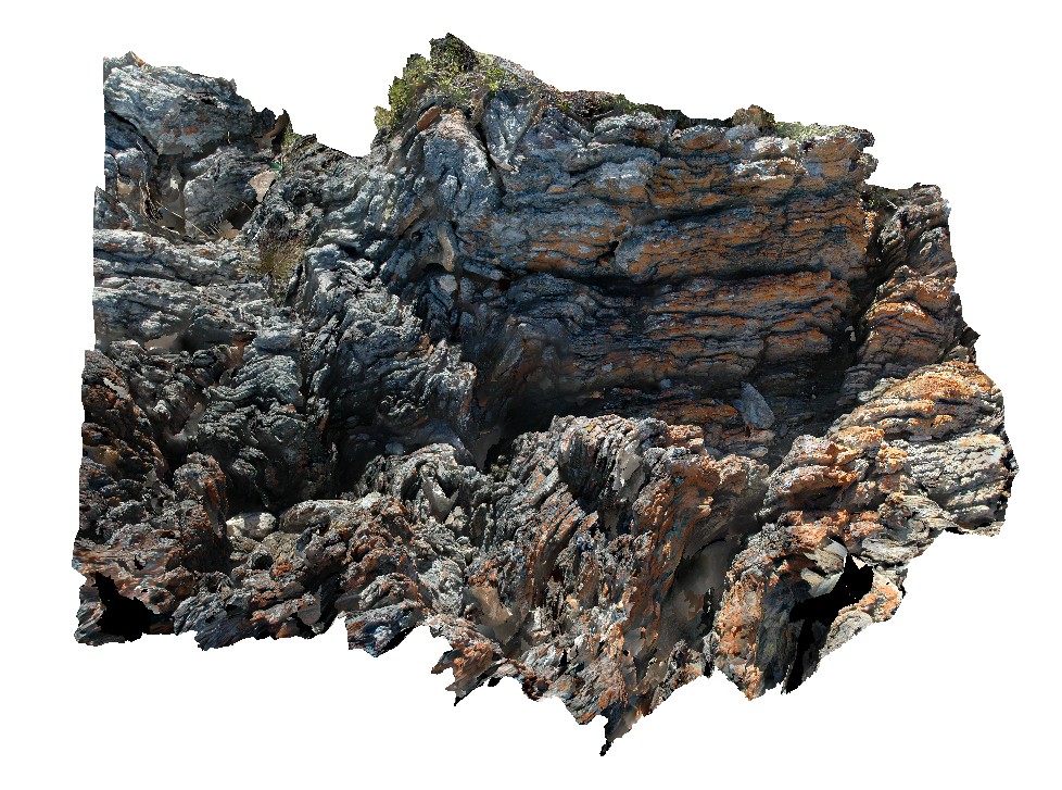
folded, thinly bedded quartzite beds with kink bands. The three Sisters, Penguin Road, northern Tasmania. |
2.00 |
-41.12723956000 |
146.12731751000 |
3.000 |
fold, kink band, quartzite, structure |
quartzite |
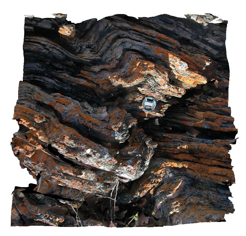
Sisters3 Map
 |
20 |
03/16/2015 2:37 p.m. |
3D |
kind bands in folded quartzite beds. The three Sisters, Penguin Road, northern Tasmania. |
0.60 |
-41.12723448000 |
146.12725990000 |
3.000 |
kink band, fold, structure, quartzite |
quartzite |
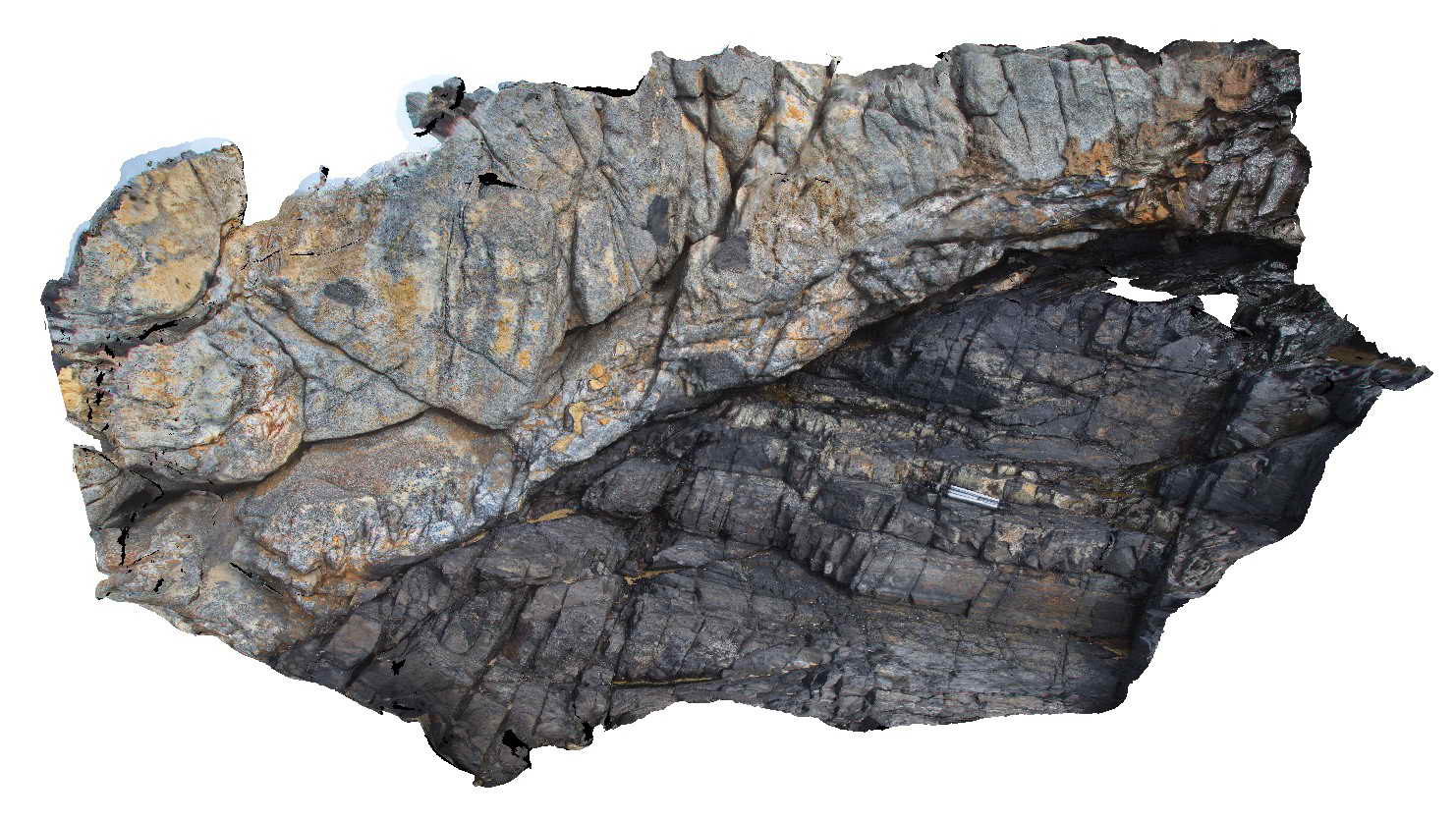
SmokyCape1 Map
 |
5 |
06/16/2015 5:38 p.m. |
3D |
intrusive contact between Triassic Smokey Cape Monzogranite and metasediments of the Permo-Carboniferous Kempsey Beds. Smoky Cape, N.S.W. |
8.00 |
-30.92401000000 |
153.08894000000 |
10.000 |
igneous, structure, intrusive contact, xenolith |
Monzogranite, sandstone |
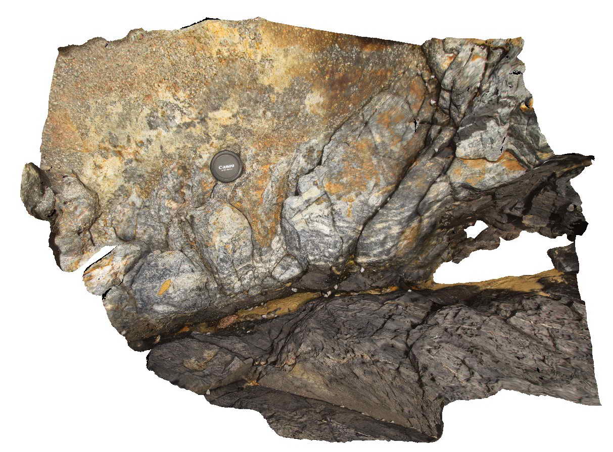
SmokyCape2 Map
 |
1 |
06/16/2015 5:39 p.m. |
3D |
Detail of contact between the Triassic Smokey Cape Monzogranite and Permo-Carboniferous Kempsey Beds showing the chilled margin of the granite and migmatised country rocks. Smoky Cape, N.S.W |
1.00 |
-30.92401000000 |
153.08894000000 |
-9999.000 |
intrusive contact, chilled margin, migmatite, igneous |
monzogranite, sandstone |
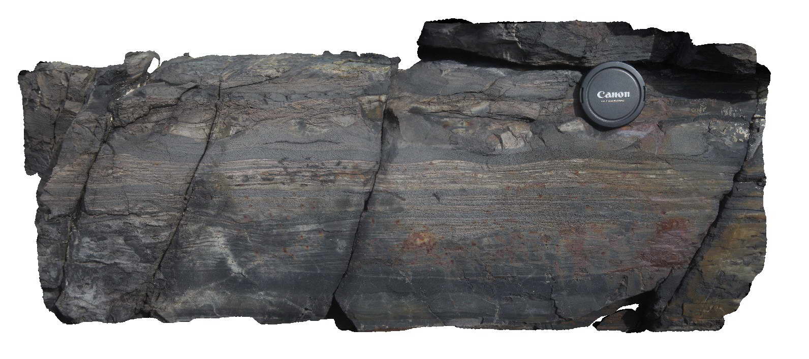
SmokyCape3 Map
 |
5 |
06/16/2015 5:39 p.m. |
3D |
Detailed view of bedding and sedimentary structures in the Permo-Carboniferous Kempsey Beds. Smoky Cape, N.S.W. |
0.80 |
-30.92401000000 |
153.08894000000 |
10.000 |
bedding, sedimentology, ripple marks, cross laminations |
sandstone |
SmokyCape4 Map
 |
5 |
08/17/2015 1:01 p.m. |
3D |
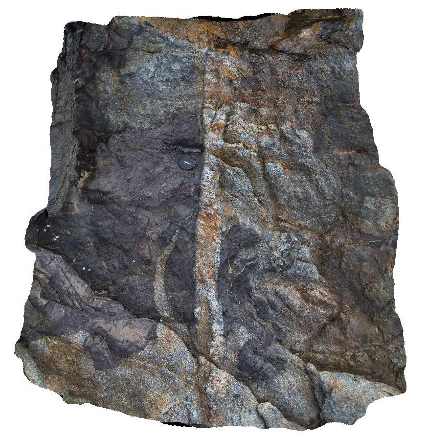
Small fine grained dyke with chilled margins cross cutting the Triassic Smokey Cape Monzogranite and metasediments of the Permo-Carboniferous Kempsey Beds. Smoky Cape, N.S.W |
1.20 |
-30.92408000000 |
153.08890000000 |
10.000 |
dyke, igneous, intrusive contact |
monzogranite, sandstone, aplite |
SmokyCape5 Map
 |
1 |
08/17/2015 1:10 p.m. |
3D |
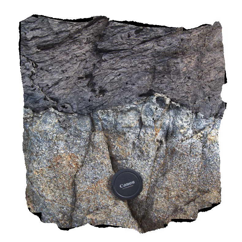
Detail of chilled margin the Triassic Smokey Cape Monzogranite with contact metamorphosed sandstone of the Permo Carboniferous Kempsey Beds. Smoky Cape, N.S.W |
0.50 |
-30.92411000000 |
153.08884000000 |
10.000 |
intrusive contact, chilled margin, igneous |
monzogranite, sandstone |
SmokyCape6 Map
 |
5 |
08/17/2015 1:18 p.m. |
3D |
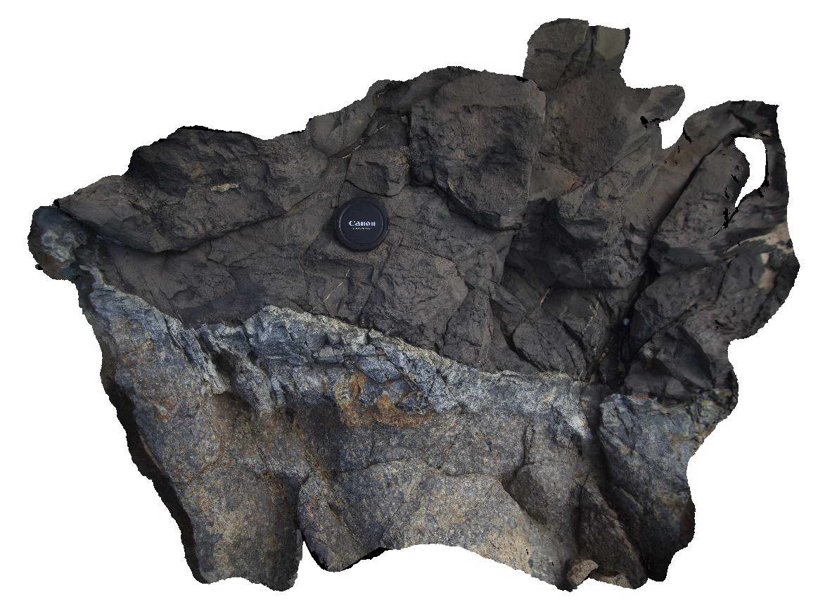
Detail of chilled margin of the Triassic Smokey Cape Monzogranite with contact metamorphosed sandstone of the Permo Carboniferous Kempsey Beds. Smoky Cape, N.S.W |
1.50 |
-30.92397000000 |
153.08900000000 |
10.000 |
intrusive contact, chilled margin, igneous |
monzogranite, sandstone |
SmokyCape7 Map
 |
5 |
02/23/2016 12:22 p.m. |
3D |
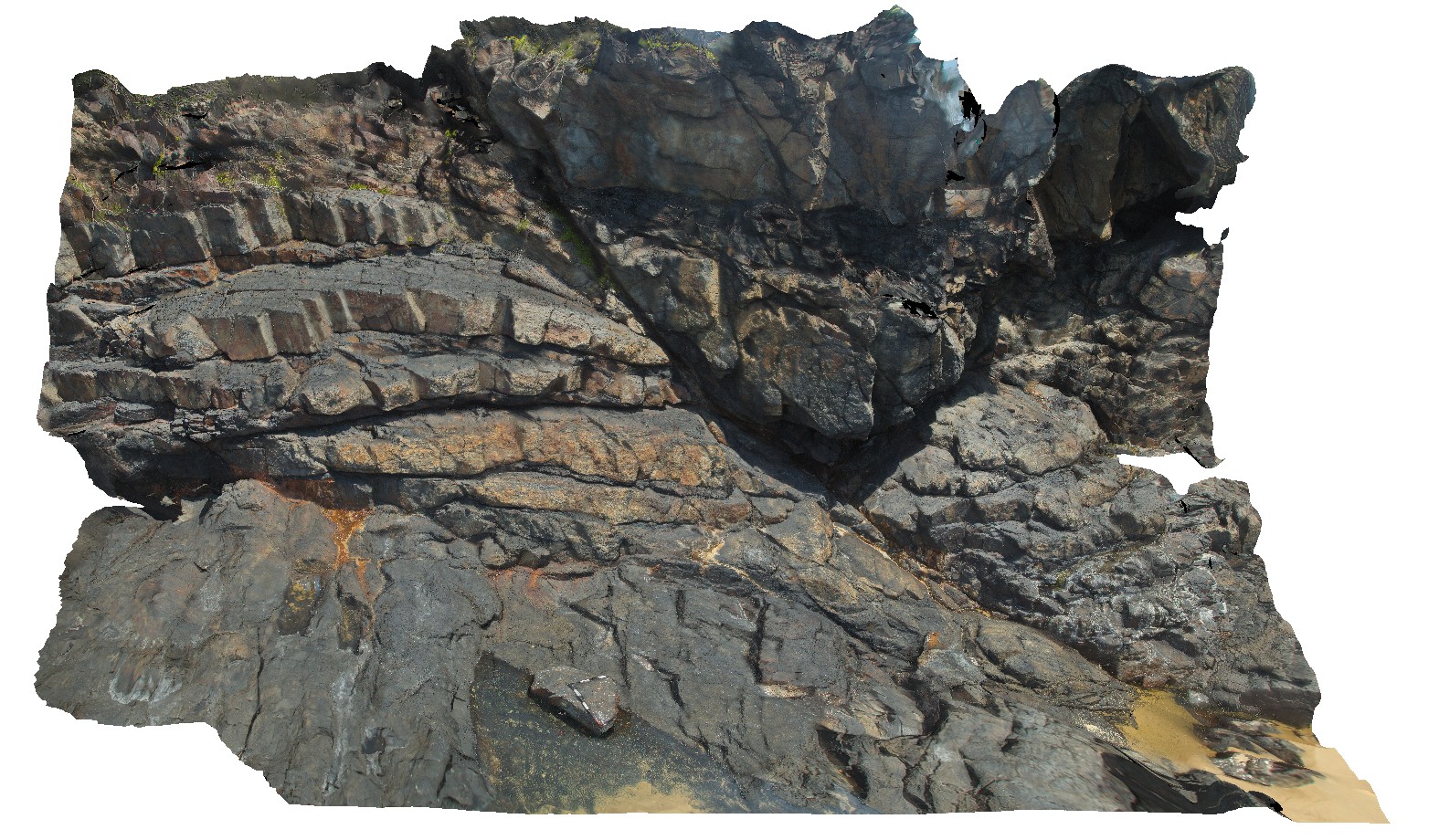
Normal fault in metasediments, showing drag folding. Smoky Cape. N.S.W. |
20.00 |
-30.90699000000 |
153.08296000000 |
-9999.000 |
fault, drag folding, metasediments |
sandstone |
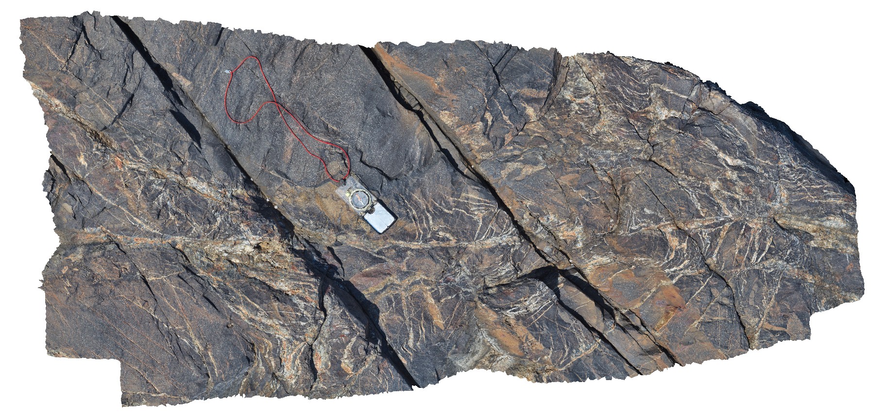
SmokyCape8 Map
 |
5 |
02/23/2016 12:23 p.m. |
3D |
en-echelon quartz vein networks in Kempsy Bed metasediments. Smoky Cape. N.S.W. |
1.00 |
-30.89907000000 |
153.08310000000 |
-9999.000 |
en-echelon, veining, metasediments |
sandstone |
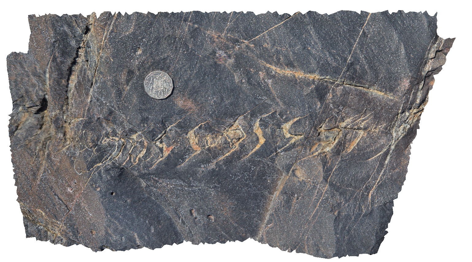
SmokyCape9 Map
 |
5 |
02/23/2016 12:23 p.m. |
3D |
en-echelon quartz veins in metasediments. Smoky Cape. N.S.W. |
0.00 |
-30.89907000000 |
153.08310000000 |
-9999.000 |
en-echelon veins, veins, metasediments |
sandstone |
SmokyCapeFSP1 Map
 |
5 |
06/16/2015 5:40 p.m. |
FSP |
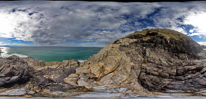
View of the intrusive contact between the Triassic Smokey Cape Monzogranite and Permo-Carboniferous metasediments of the Kempsey Beds. Smoky Cape, N.S.W |
50.00 |
-30.92389000000 |
153.08904000000 |
10.000 |
intrusive contact, chilled margin, igneous |
monzogranite, sandstone |
SmokyCapeFSP2 Map
 |
5 |
06/16/2015 5:41 p.m. |
3D |
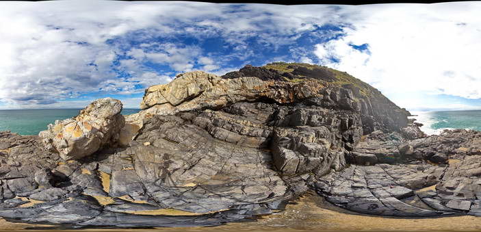
View of the intrusive contact between the Triassic Smokey Cape Monzogranite and Permo-Carboniferous metasediments of the Kempsey Beds. Smoky Cape, N.S.W |
50.00 |
-30.92399000000 |
153.08891000000 |
10.000 |
intrusive contact, igneous |
monzogranite, sandstone |
SmokyCapeFSP3 Map
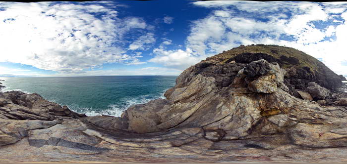 |
5 |
06/16/2015 5:41 p.m. |
FSP |
View of the intrusive contact between the Triassic Smokey Cape Monzogranite and Permo-Carboniferous metasediments of the Kempsey Beds. Smoky Cape, N.S.W |
50.00 |
-30.92406000000 |
153.08893000000 |
10.000 |
intrusive contact, igneous |
monzogranite, sandstone |
SmokyCapeFSP4 Map
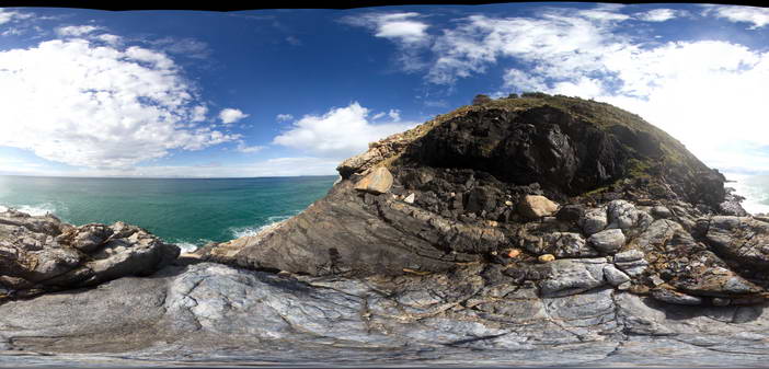 |
5 |
06/16/2015 5:41 p.m. |
FSP |
View of the intrusive contact between the Triassic Smokey Cape Monzogranite and Permo-Carboniferous metasediments of the Kempsey Beds. Smoky Cape, N.S.W |
50.00 |
-30.92407000000 |
153.08887000000 |
10.000 |
intrusive contact, igneous |
monzogranite, sandstone |
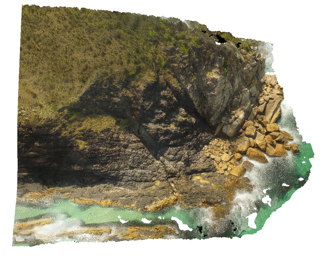
SmokyCapeUAV1 Map
 |
20 |
04/13/2016 1:19 p.m. |
UAV |
Granite contact - possible faulted, between the granite and host deformed Kempsey Beds. Smoky Cape. N.S.W. |
100.00 |
-30.89900000000 |
153.08300000000 |
-9999.000 |
contact, fault, fold, structure |
monzogranite, sandstone |
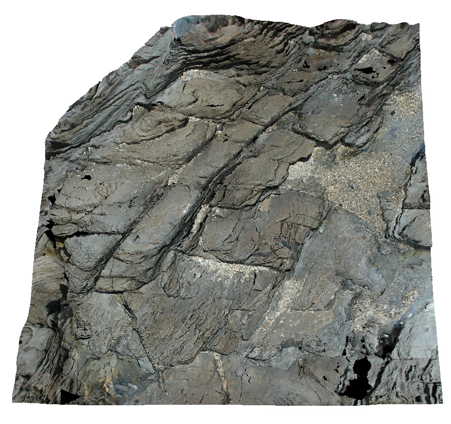
Somerset1 Map
 |
5 |
03/16/2015 2:37 p.m. |
3D |
recumbent fold in metasediments with axial planar cleavage. Somerset, northern Tasmania. |
8.00 |
-41.03392685000 |
145.82548716000 |
2.000 |
recumbent fold, fold, metasediments, structure |
metasediments |
Somerset2 Map
 |
5 |
03/16/2015 2:38 p.m. |
3D |
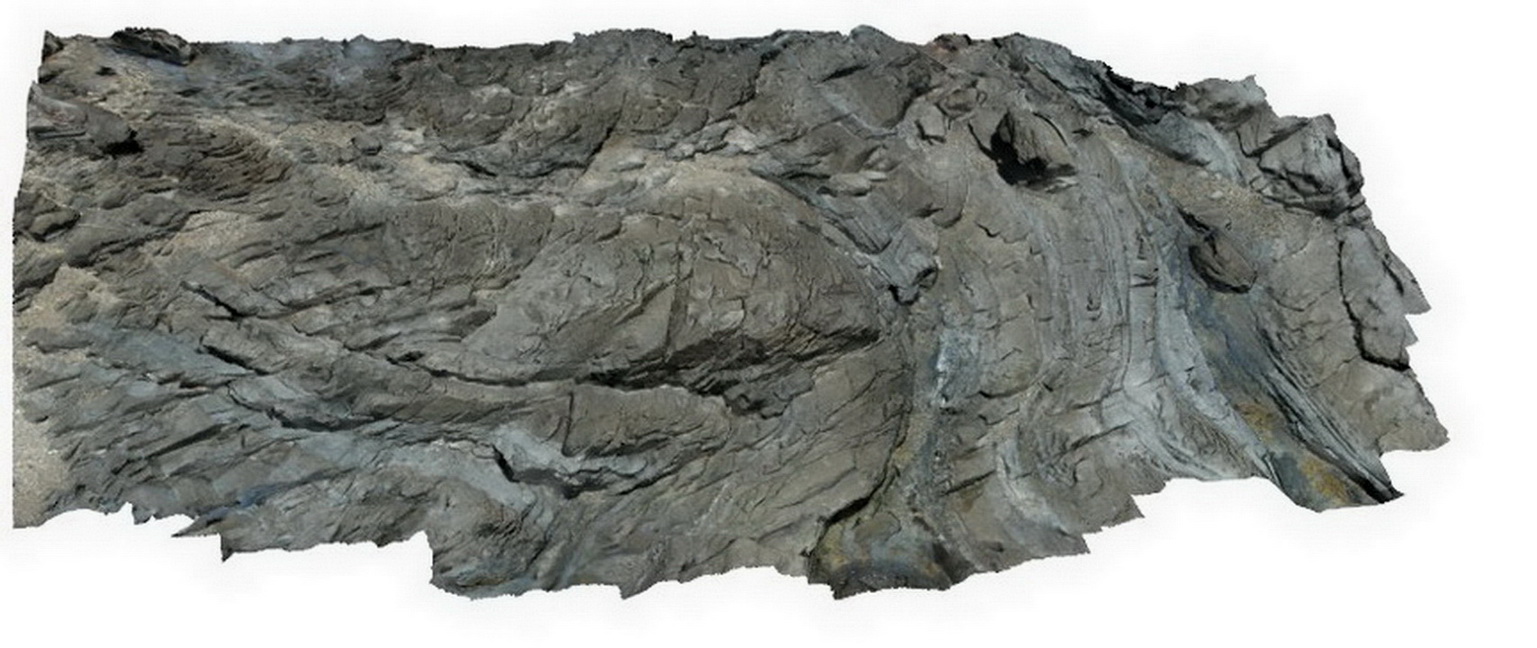
folded metasediments. Somerset, northern Tasmania. |
10.00 |
-41.03376368000 |
145.82516838000 |
2.000 |
fold, metasediment, structure |
metasediment |
Splitpoint1 Map
 |
5 |
06/17/2015 10:40 a.m. |
3D |
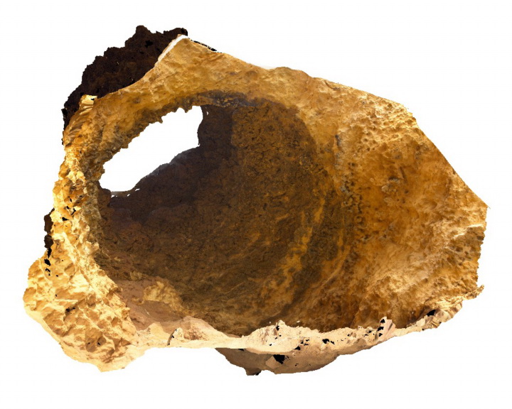
Internal view of a doline within sandy limestone of the Oligocene - Miocene Torquay Group. Split Point, Vic. |
15.00 |
-38.46672000000 |
144.10670000000 |
0.000 |
doline, geomorphology |
limestone |
Splitpoint10 Map
 |
5 |
06/17/2015 10:42 a.m. |
3D |
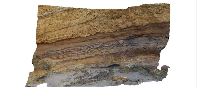
Bedded limestone of the Torquay Group disconformably overlying pyroclastic rocks of the Oligocene Angahook Formation. Split Point, Vic. |
15.00 |
-38.46346000000 |
144.10806000000 |
1.000 |
disconformity, volcanology, pyroclastic |
limestone, tuff |
Splitpoint11 Map
 |
5 |
06/17/2015 10:44 a.m. |
3D |
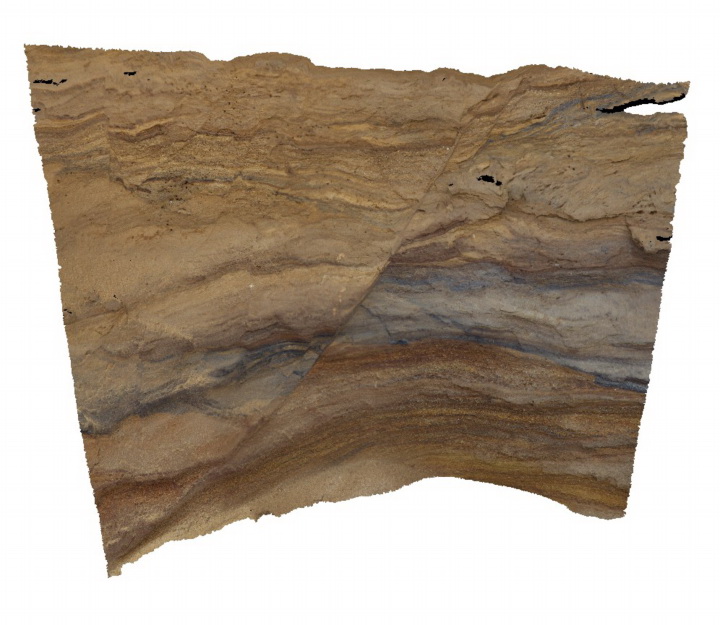
small normal fault in fine grained pyroclastic deposits of the Oligocene Angahook Formation. Split Point, Vic. |
1.50 |
-38.46346000000 |
144.10806000000 |
1.000 |
normal fault, pyroclastic, volcanology |
tuff |
Splitpoint12 Map
 |
5 |
06/17/2015 10:44 a.m. |
3D |
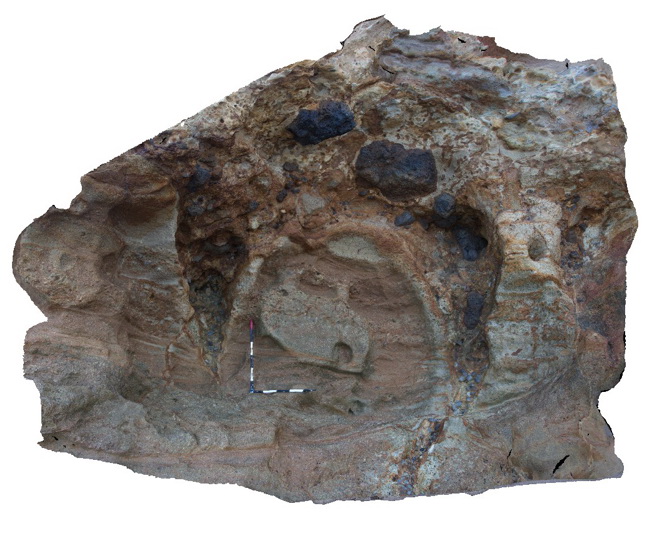
Fissures infilled by pyroclastic? Material in layered pyroclastic rocks of the Oligocene Angahook Formation. Split Point, Vic. |
5.00 |
-38.46310000000 |
144.10857000000 |
1.000 |
fissures, volcanology, pyroclastic |
tuff |


