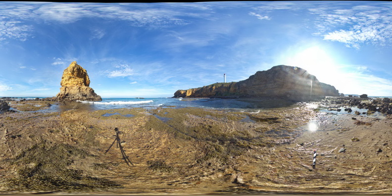
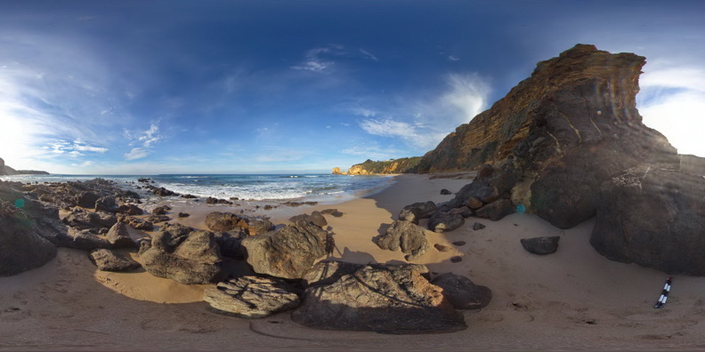
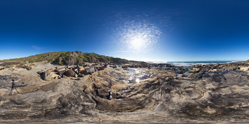
SplitpointFSP19 Map
 |
5 |
06/17/2015 11:08 a.m. |
FSP |
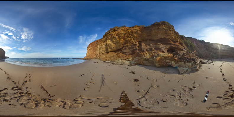
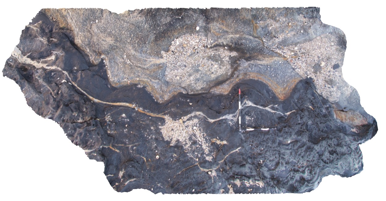
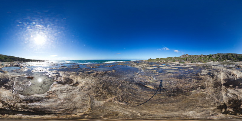
Flat lying, thinly bedded, sandy limestone of the Oligocene-Miocene Torquay Group nonconformably overlying basalt of the Oligocene Angahook Formation, exposed at the base of the sea stack in foreground. Split Point, Vic. |
50.00 |
-38.46818000000 |
144.10638000000 |
1.000 |
basalt, nonconformity, volcanology, sedimentology, limestone, spheroidal weathering |
limestone, basalt |
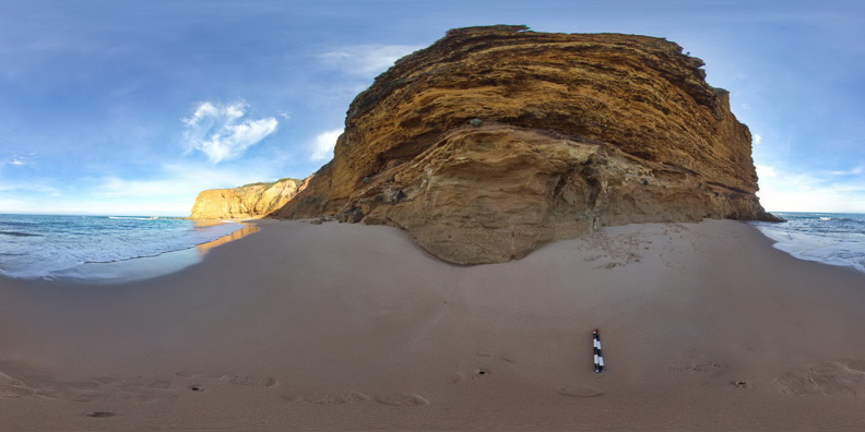
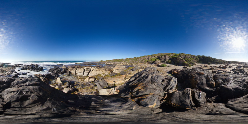
SplitpointFSP2 Map
 |
5 |
06/17/2015 11:08 a.m. |
FSP |
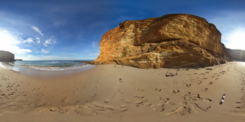
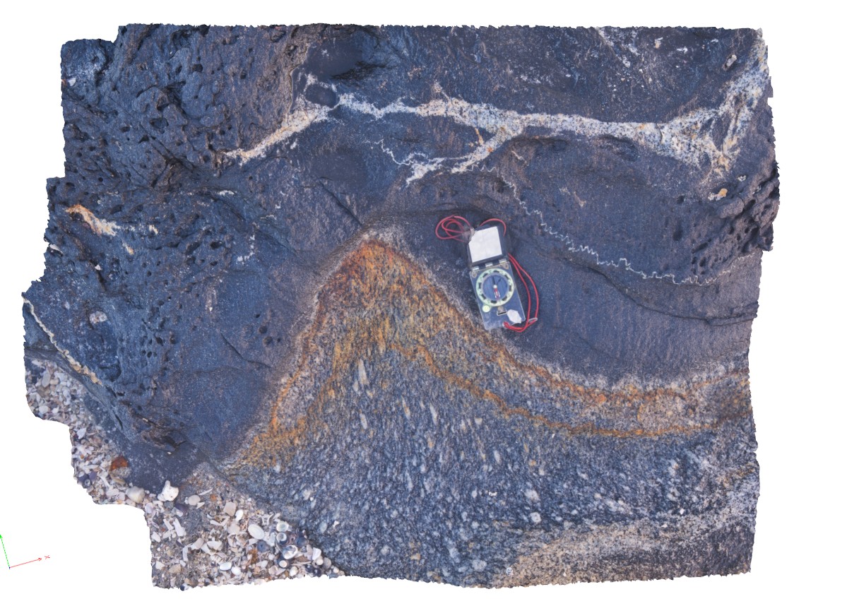
Flat lying, thinly bedded, sandy limestone of the Oligocene-Miocene Torquay Group disconformably overlying poorly sorted pyroclastic rocks of the Oligocene Angahook Formation. Split Point, Vic. |
50.00 |
-38.46316000000 |
144.10841000000 |
1.000 |
disconformity, pyroclastic, sedimentology, volcanology |
limestone, tuff |
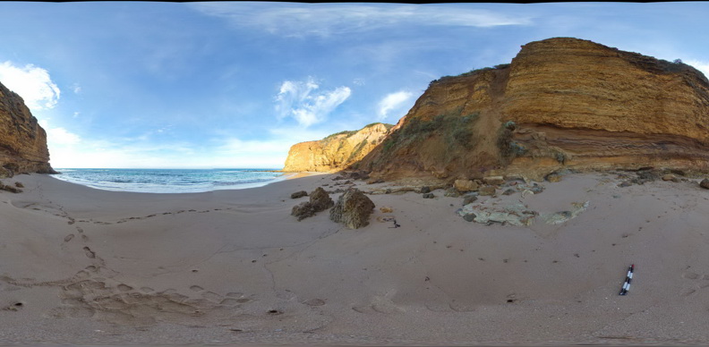
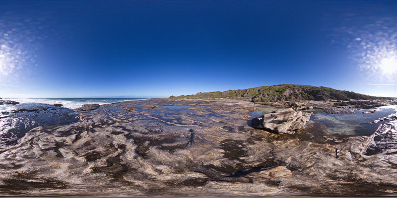
SplitpointFSP3 Map
 |
5 |
06/17/2015 11:08 a.m. |
FSP |
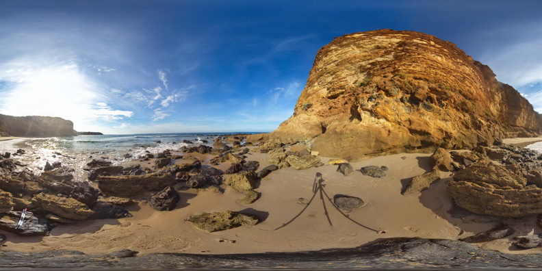
Flat lying, thinly bedded, sandy limestone of the Oligocene-Miocene Torquay Group disconformably overlying poorly sorted pyroclastic rocks of the Oligocene Angahook Formation. Split Point, Vic. |
50.00 |
-38.46334000000 |
144.10806000000 |
1.000 |
Disconformity, pyroclastic, sedimentology, volcanology |
limestone, tuff |
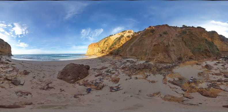
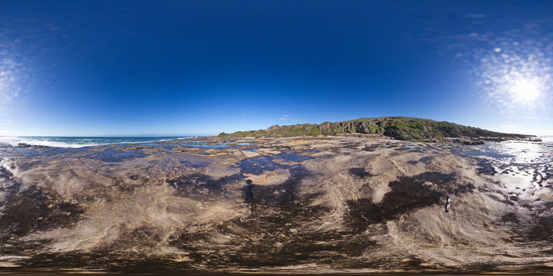
SplitpointFSP4 Map
 |
5 |
06/17/2015 11:08 a.m. |
FSP |
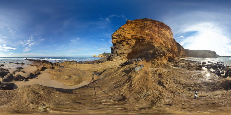
Flat lying, thinly bedded, sandy limestone of the Oligocene-Miocene Torquay Group disconformably overlying poorly sorted pyroclastic rocks of the Oligocene Angahook Formation. Split Point, Vic. |
50.00 |
-38.46353000000 |
144.10789000000 |
1.000 |
Pyroclastic, disconformity, sedimentology, volcanology |
limestone, tuff |
SplitpointFSP5 Map
 |
5 |
06/17/2015 11:09 a.m. |
FSP |
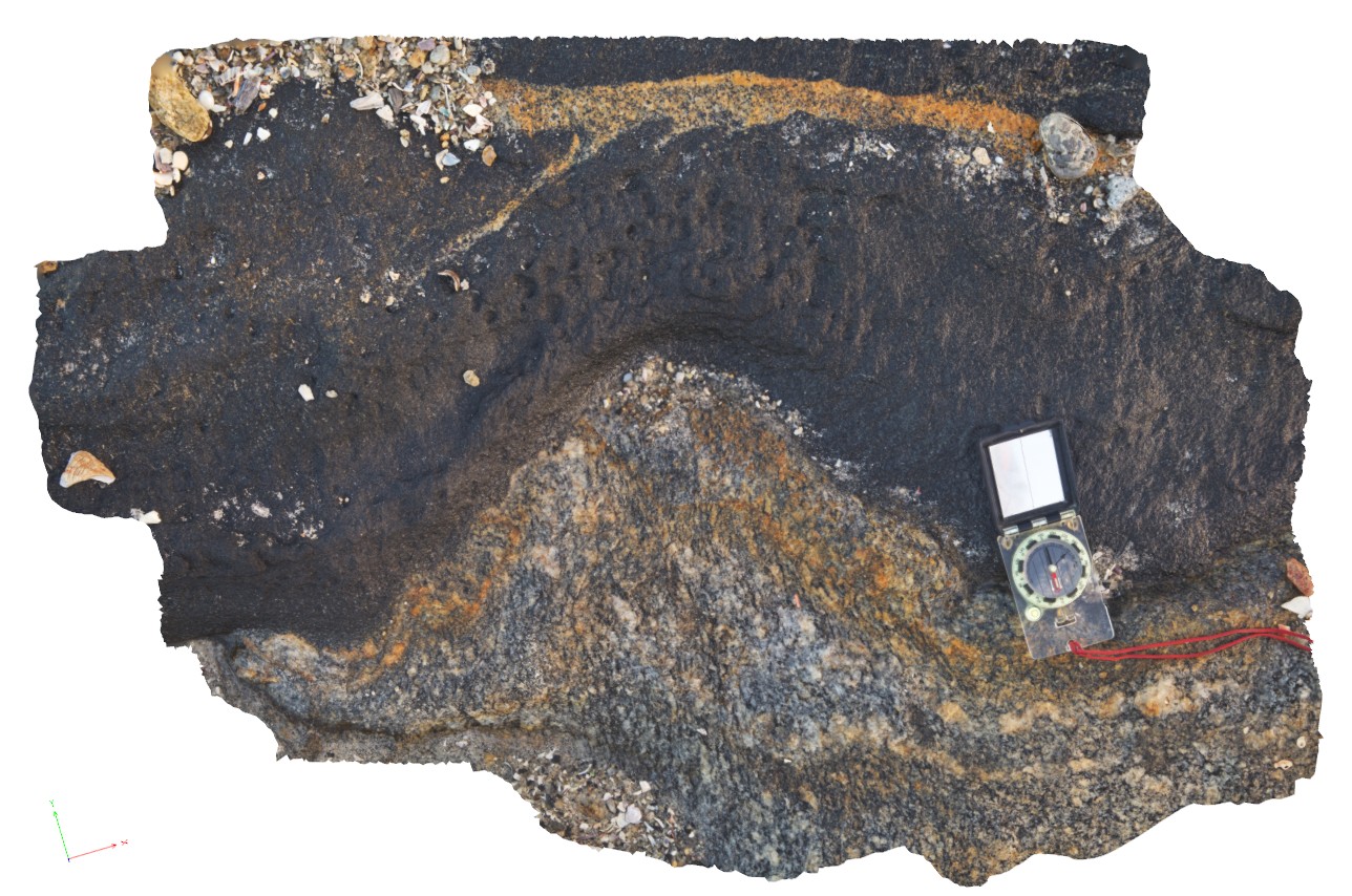
Flat lying, thinly bedded, sandy limestone of the Oligocene-Miocene Torquay Group disconformably overlying poorly sorted pyroclastic rocks of the Oligocene Angahook Formation. Split Point, Vic. |
50.00 |
-38.46378000000 |
144.10782000000 |
1.000 |
Pyroclastic, volcanology, sedimentology, disconformity |
tuff, limestone |
SplitpointFSP6 Map
 |
5 |
06/17/2015 11:09 a.m. |
FSP |
Flat lying, thinly bedded, sandy limestone of the Oligocene-Miocene Torquay Group disconformably overlying poorly sorted pyroclastic rocks of the Oligocene Angahook Formation. Split Point, Vic. |
50.00 |
-38.46407000000 |
144.10777000000 |
1.000 |
volcanology, sedimentology, pyroclastic, disconformity |
tuff, limestone |
SplitpointFSP7 Map
 |
5 |
06/17/2015 11:09 a.m. |
FSP |
Flat lying, thinly bedded, sandy limestone of the Oligocene-Miocene Torquay Group disconformably overlying poorly sorted pyroclastic rocks of the Oligocene Angahook Formation. Split Point, Vic. |
50.00 |
-38.46435000000 |
144.10811000000 |
1.000 |
pyroclastic, volcanology, sedimentology, disconformity |
limestone, tuff |
SplitpointFSP8 Map
 |
5 |
06/17/2015 11:09 a.m. |
FSP |
Flat lying, thinly bedded, sandy limestone of the Oligocene-Miocene Torquay Group disconformably overlying poorly sorted pyroclastic rocks of the Oligocene Angahook Formation. Split Point, Vic. |
50.00 |
-38.46457000000 |
144.10812000000 |
1.000 |
pyroclastic, volcanology, sedimentology, disconformity |
limestone, tuff |
SplitpointFSP9 Map
 |
5 |
06/17/2015 11:10 a.m. |
FSP |
Flat lying, thinly bedded, sandy limestone of the Oligocene-Miocene Torquay Group nonconformably overlying basalt and basaltic breccias of the Oligocene Angahook Formation. Split Point, Vic. |
50.00 |
-38.46466000000 |
144.10805000000 |
1.000 |
basalt, nonconformity, volcanology, sedimentology |
limestone, basalt |
StarvationBay1 Map
 |
0 |
06/05/2016 10:48 a.m. |
3D |
contact between amphibolite and gneiss in fold hinge, Starvation Bay, W.A. |
5.00 |
-33.92187000000 |
120.55930000000 |
-9999.000 |
contact, amphibolite, structure |
amphibolite |
StarvationBay2 Map
 |
0 |
06/05/2016 10:44 a.m. |
3D |
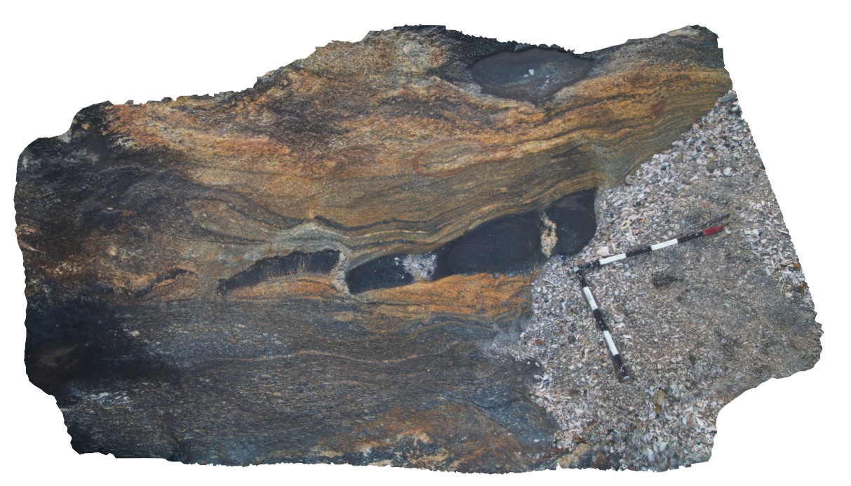
detail of fold hinge from site StarvationBay1, showing amphibolite contact and re-orientated foliation. Starvation Bay, W.A. |
0.70 |
-33.92187000000 |
120.55933000000 |
-9999.000 |
amphibolite, fold hinge, structure |
amphibolite gneiss |
StarvationBay3 Map
 |
0 |
06/05/2016 10:44 a.m. |
3D |
detail of open fold hinge from site StarvationBay1, showing amphibolite contact and re-orientated foliation. Starvation Bay, W.A. |
0.70 |
-33.92184000000 |
120.55934000000 |
-9999.000 |
amphibolite, open fold, structure, foliation |
amphibolite gneiss |
StarvationBay4 Map
 |
0 |
06/05/2016 10:49 a.m. |
3D |
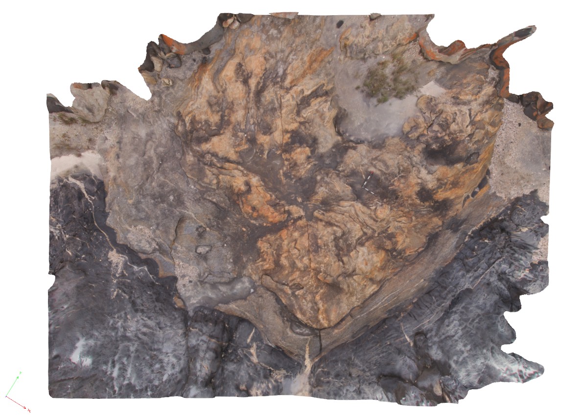
possible mylonite contact on the margin of amphibolite fold limb. Starvation Bay, W.A. |
2.60 |
-33.92177000000 |
120.55942000000 |
-9999.000 |
mylonite, amphibolite, fold, structure |
amphibolite |
StarvationBay6 Map
 |
0 |
06/05/2016 10:44 a.m. |
3D |
boudinaged mafic dyke on margin of mylonite. Starvation Bay, W.A. |
3.00 |
-33.92175000000 |
120.55943000000 |
-9999.000 |
boudinage, mylonite, structure |
mylonite |
StarvationBay7 Map
 |
0 |
06/05/2016 10:45 a.m. |
3D |
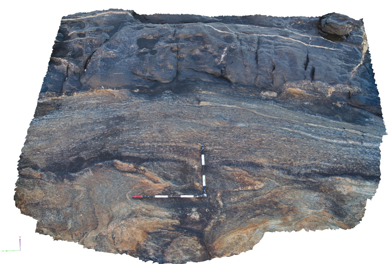
overall view of outcrop pavement, showing amphibolite fold and contact. Starvation Bay, W.A. |
10.00 |
-33.92179000000 |
120.55938000000 |
-9999.000 |
amphibolite, contact, fold |
amphibolite, gneiss |
StarvationBay8 Map
 |
0 |
06/05/2016 10:49 a.m. |
3D |
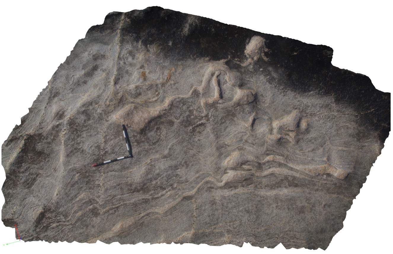
folded gneissic layering and early dyke, Starvation Bay. W.A. |
4.00 |
-33.92267000000 |
120.55891000000 |
-9999.000 |
fold, gneiss, amphibolite dyke |
gneiss |
StarvationBay9 Map
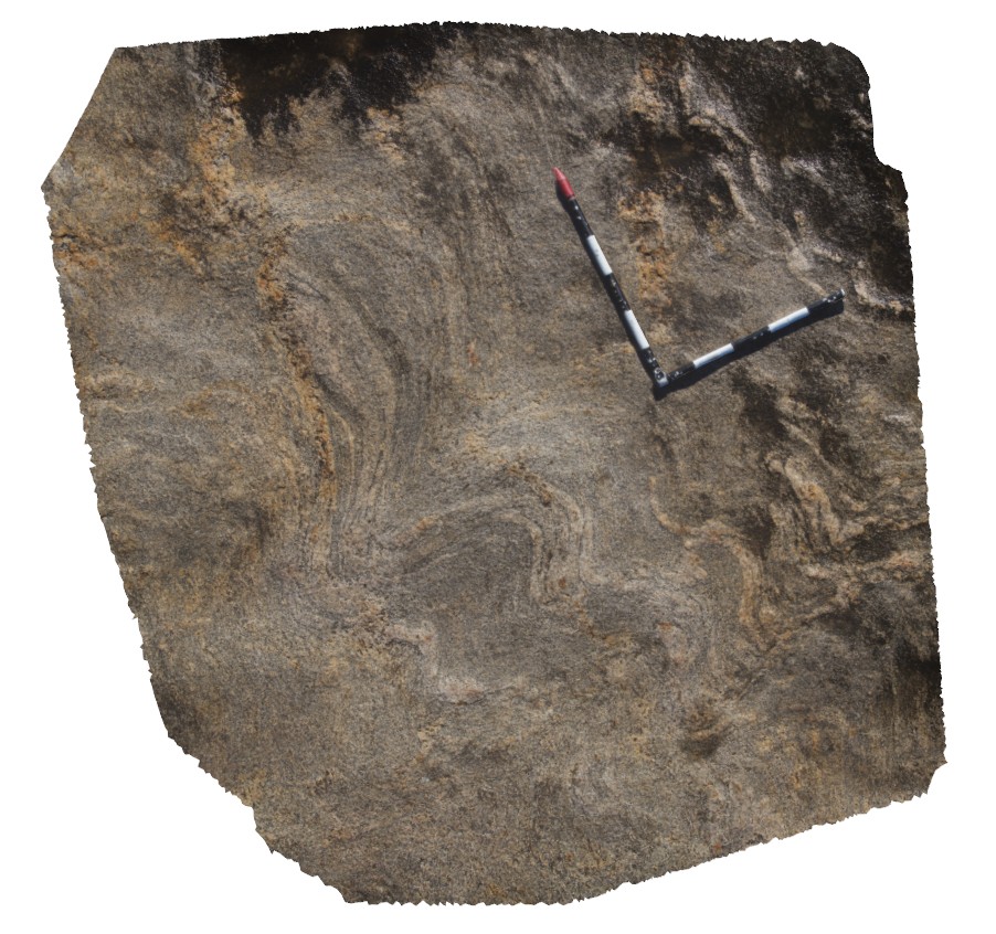 |
0 |
06/05/2016 10:48 a.m. |
3D |
folded gneissic layering. Possible folding of early isoclinal folds. Starvation Bay. W.A. |
2.00 |
-33.92233000000 |
120.55901000000 |
-9999.000 |
folding, structure, gneissic layering |
gneiss |
StarvationBayFSP1 Map
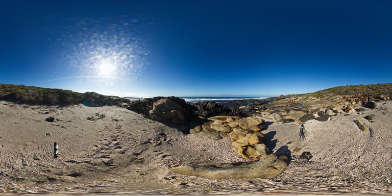 |
0 |
06/05/2016 10:47 a.m. |
FSP |
overview of folded gneiss and amphibole gneiss, Starvation Bay. W.A. |
200.00 |
-33.92150000000 |
120.55987000000 |
-9999.000 |
geological contact, amphibolite |
gneiss |
StarvationBayFSP2 Map
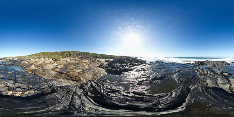 |
0 |
06/05/2016 10:47 a.m. |
FSP |
overview of contact between folded gneiss and amphibole gneiss, Starvation Bay. W.A. |
200.00 |
-33.92161000000 |
120.55975000000 |
-9999.000 |
geological contact, gneiss |
gneiss |
StarvationBayFSP3 Map
 |
0 |
06/05/2016 10:47 a.m. |
FSP |
overview of contact between folded gneiss and amphibole gneiss, Starvation Bay. W.A. |
200.00 |
-33.92170000000 |
120.55947000000 |
-9999.000 |
geological contact, gneiss |
amphibole gneiss |
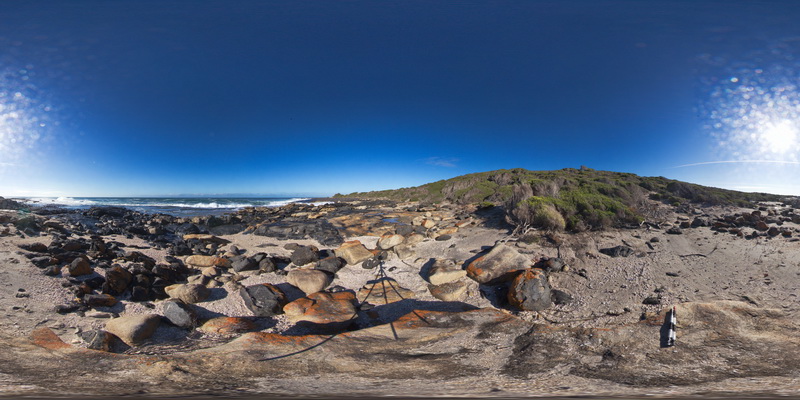
StarvationBayFSP4 Map
 |
0 |
06/05/2016 10:47 a.m. |
FSP |
overview of folded contact between gneiss and amphibole gneiss, Starvation Bay. W.A. |
200.00 |
-33.92181000000 |
120.55936000000 |
-9999.000 |
geological contact, amphibole gneiss |
amphibole gneiss |
StarvationBayFSP5 Map
 |
0 |
06/05/2016 10:47 a.m. |
FSP |
overview of folded contact between gneiss and amphibole gneiss, Starvation Bay. W.A. |
200.00 |
-33.92199000000 |
120.55923000000 |
-9999.000 |
geological contact, amphibolite gneiss |
amphibolite gneiss |
StarvationBayFSP6 Map
 |
0 |
06/05/2016 10:47 a.m. |
FSP |
overview of folded, banded gneiss, Starvation Bay. W.A. |
200.00 |
-33.92221000000 |
120.55912000000 |
-9999.000 |
banded gneiss |
gneiss |
StarvationBayFSP7 Map
 |
0 |
06/05/2016 10:48 a.m. |
FSP |
overview of folded, banded gneiss with leucosomes, Starvation Bay. W.A. |
200.00 |
-33.92237000000 |
120.55901000000 |
-9999.000 |
gneiss, leucosomes |
gneiss |
StarvationBayFSP8 Map
 |
0 |
06/05/2016 10:47 a.m. |
FSP |
overview of folded, banded gneiss with leucosomes, Starvation Bay. W.A. |
200.00 |
-33.92255000000 |
120.55894000000 |
-9999.000 |
fold, gneiss, leucosome |
gneiss |