Pingandy11 Map
 |
0 |
05/28/2016 noon |
3D |
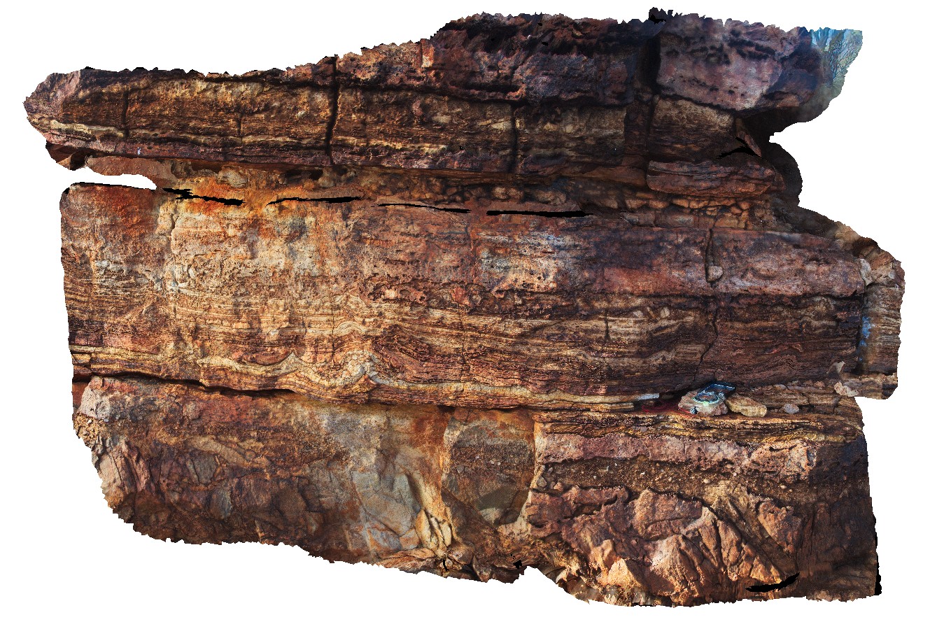
unconformity. Sharp contact between thin pebbly layer and overlying thinly layered carbonates. Pingandy, Ashburton Downs - Meekatharra Road, W.A. |
1.00 |
-23.98593000000 |
117.92158000000 |
-9999.000 |
unconformity, pebble sandstone, carbonate, sedimentology |
carbonate |
Pingandy12 Map
 |
0 |
05/28/2016 noon |
3D |
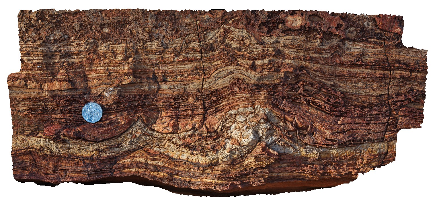
detail of stromatolite and tepee textures in thinly bedded carbonate. Pingandy, Ashburton Downs - Meekatharra Road, W.A. |
0.60 |
-23.98593000000 |
117.92158000000 |
-9999.000 |
tepee, stromatolite, carbonate, sedimentology |
carbonate |
Pingandy13 Map
 |
0 |
05/28/2016 noon |
3D |
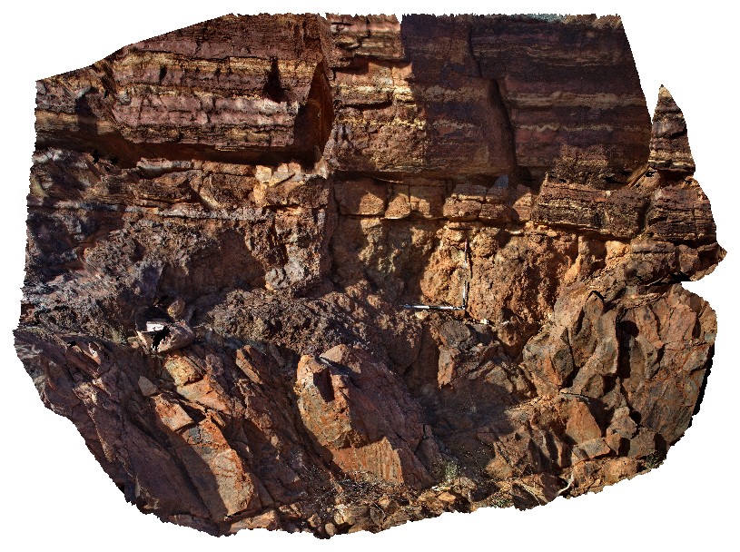
detail of unconformity with carbonate and underlying breccia layer. Pingandy, Ashburton Downs - Meekatharra Road, W.A. |
5.00 |
-23.98595000000 |
117.92158000000 |
-9999.000 |
unconformity, carbonate, sedimentary breccia |
carbonate, breccia |
Pingandy14 Map
 |
0 |
05/28/2016 noon |
3D |
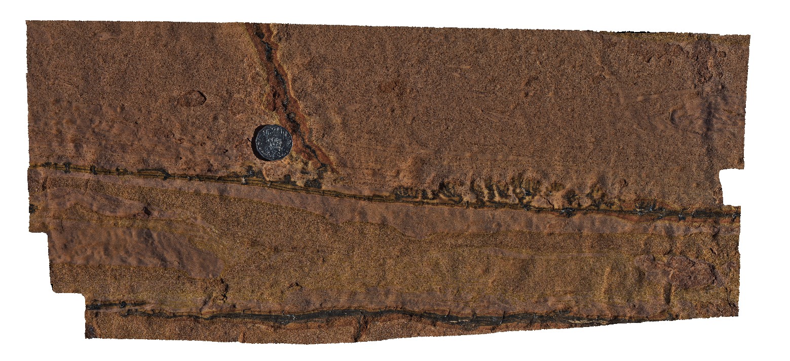
sedimentary structures; rip up clasts, flame structures in pavement of Ashburton sandstone and siltstone. Pingandy, Ashburton Downs - Meekatharra Road, W.A. |
0.00 |
-23.86936000000 |
117.79319000000 |
-9999.000 |
flame structure, rip up clast, sedimentology |
sandstone |
Pingandy15 Map
 |
0 |
05/28/2016 noon |
3D |
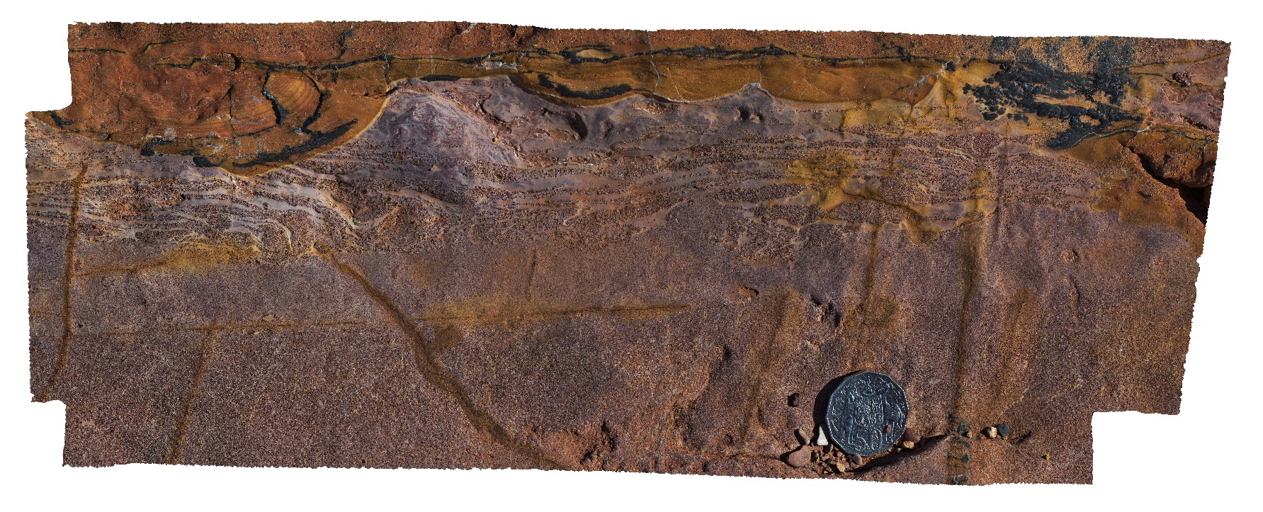
detail of soft sediment deformation in Ashburton Basin rocks. Pingandy, Ashburton Downs - Meekatharra Road, W.A. |
0.00 |
-23.86935000000 |
117.79321000000 |
-9999.000 |
soft sediment deformation, sedimentology |
sandstone |
Pingandy16 Map
 |
0 |
05/28/2016 noon |
3D |
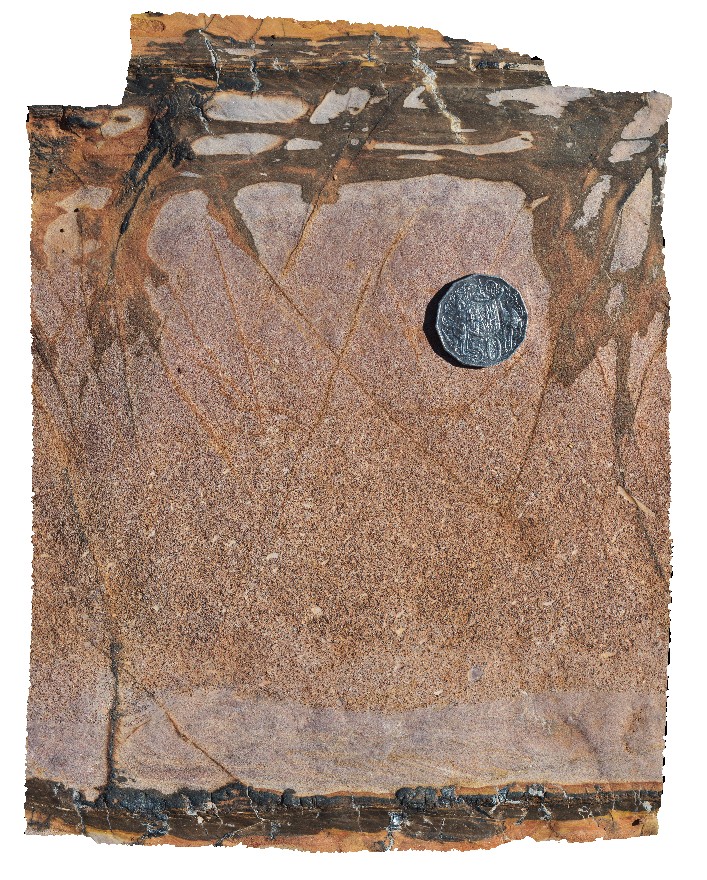
detail of a graded bed in sandy unit. Pingandy, Ashburton Downs - Meekatharra Road, W.A. |
0.00 |
-23.86932000000 |
117.79322000000 |
-9999.000 |
graded bedding, sedimentology |
sandstone |
Pingandy2 Map
 |
0 |
05/27/2016 noon |
3D |
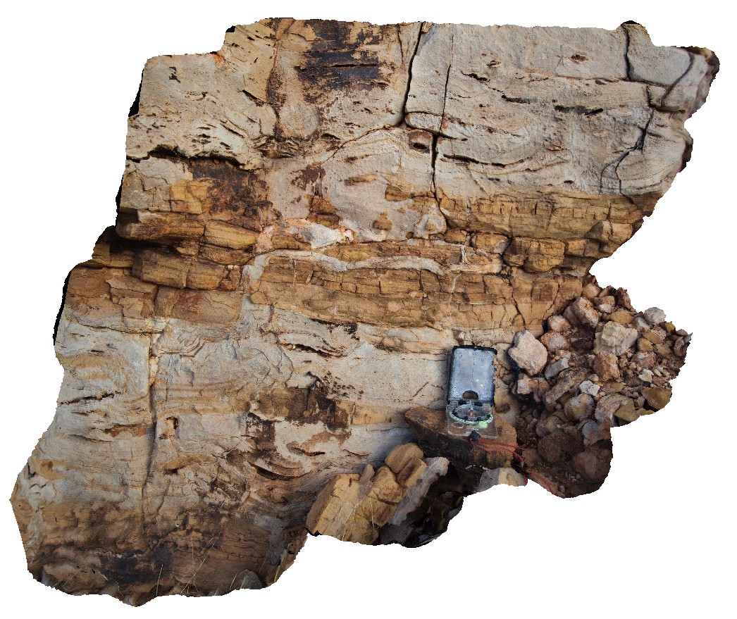
detail of clastic dyke from exposed carbonate unite at site Pingandy1. Ashburton Downs - Meekatharra Road, W.A. |
0.00 |
-24.00582000000 |
117.91148000000 |
-9999.000 |
clastic dyke, sedimentology |
limestone |
Pingandy3 Map
 |
5 |
05/27/2016 noon |
3D |
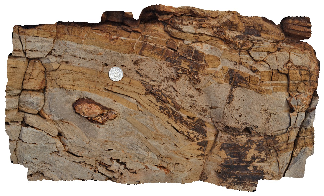
detail of chert nodule and disrupted bedding carbonates. Ashburton Downs - Meekatharra Road, W.A. |
0.60 |
-24.00582000000 |
117.91148000000 |
-9999.000 |
disrupted bedding, chert, nodule |
dolostone |
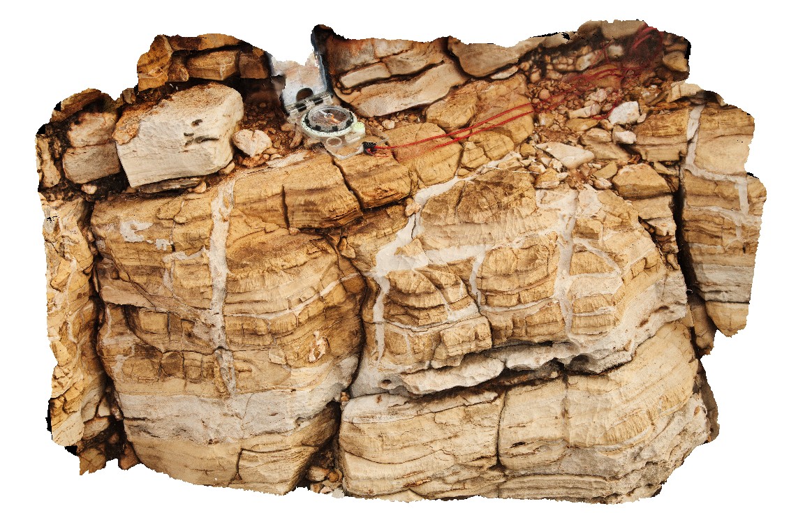
Pingandy4 Map
 |
5 |
05/27/2016 noon |
3D |
detail of clastic dykes in carbonates. Ashburton Downs - Meekatharra Road, W.A. |
0.55 |
-24.00582000000 |
117.91148000000 |
-9999.000 |
clastic dykes, dolostone |
dolostone |
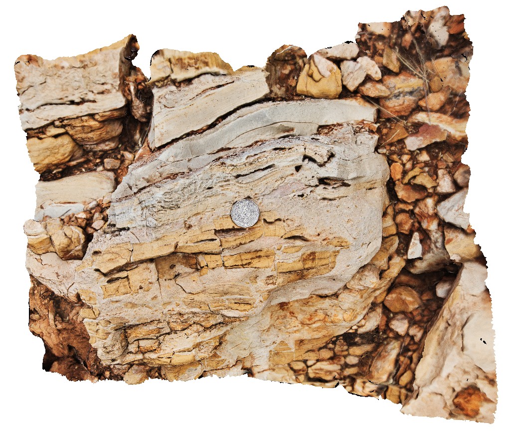
Pingandy5 Map
 |
0 |
05/27/2016 noon |
3D |
breccia in dolostone. Ashburton Downs - Meekatharra Road, W.A. |
0.50 |
-24.00579000000 |
117.91142000000 |
-9999.000 |
clastic breccia |
dolostone |
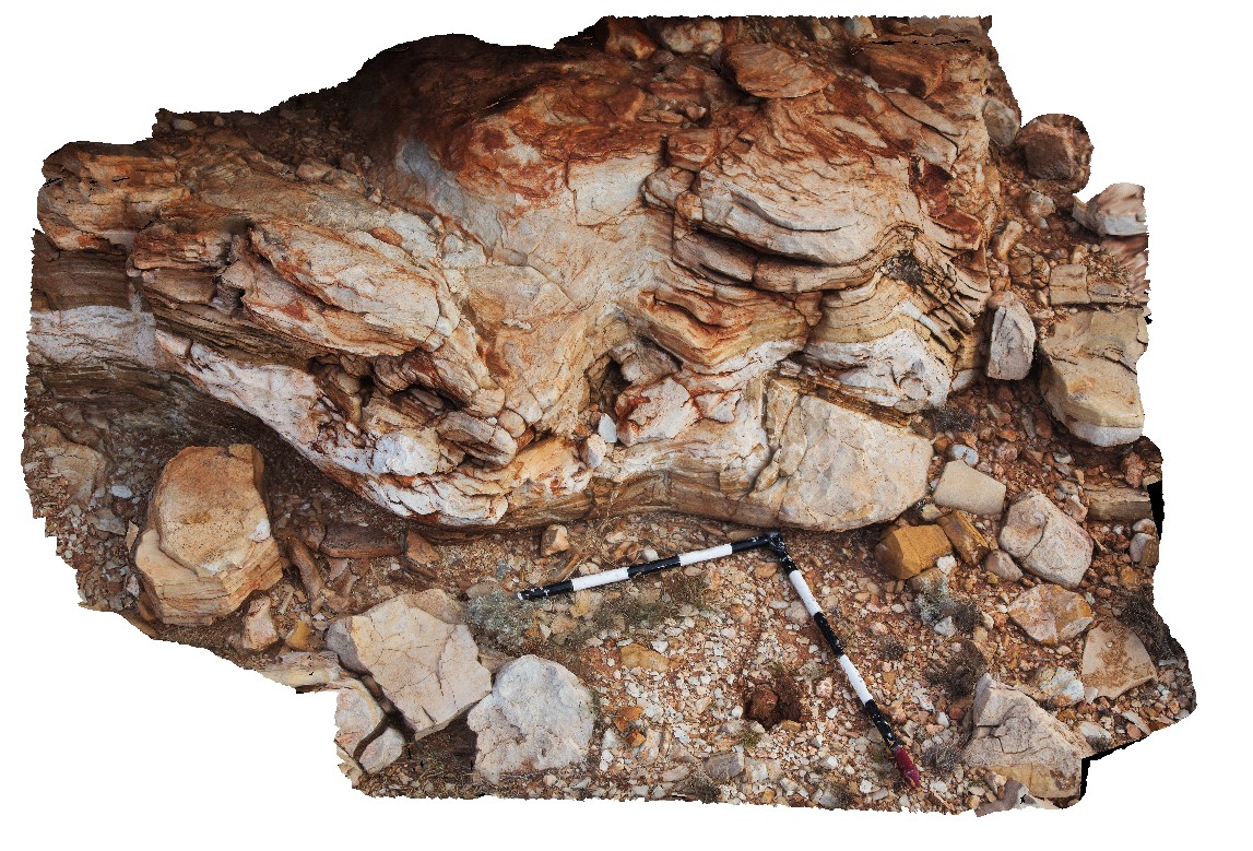
Pingandy6 Map
 |
0 |
05/27/2016 noon |
3D |
soft sediment deformation in dolostone. Ashburton Downs - Meekatharra Road, W.A. |
2.20 |
-24.00585000000 |
117.91148000000 |
-9999.000 |
|
dolostone |
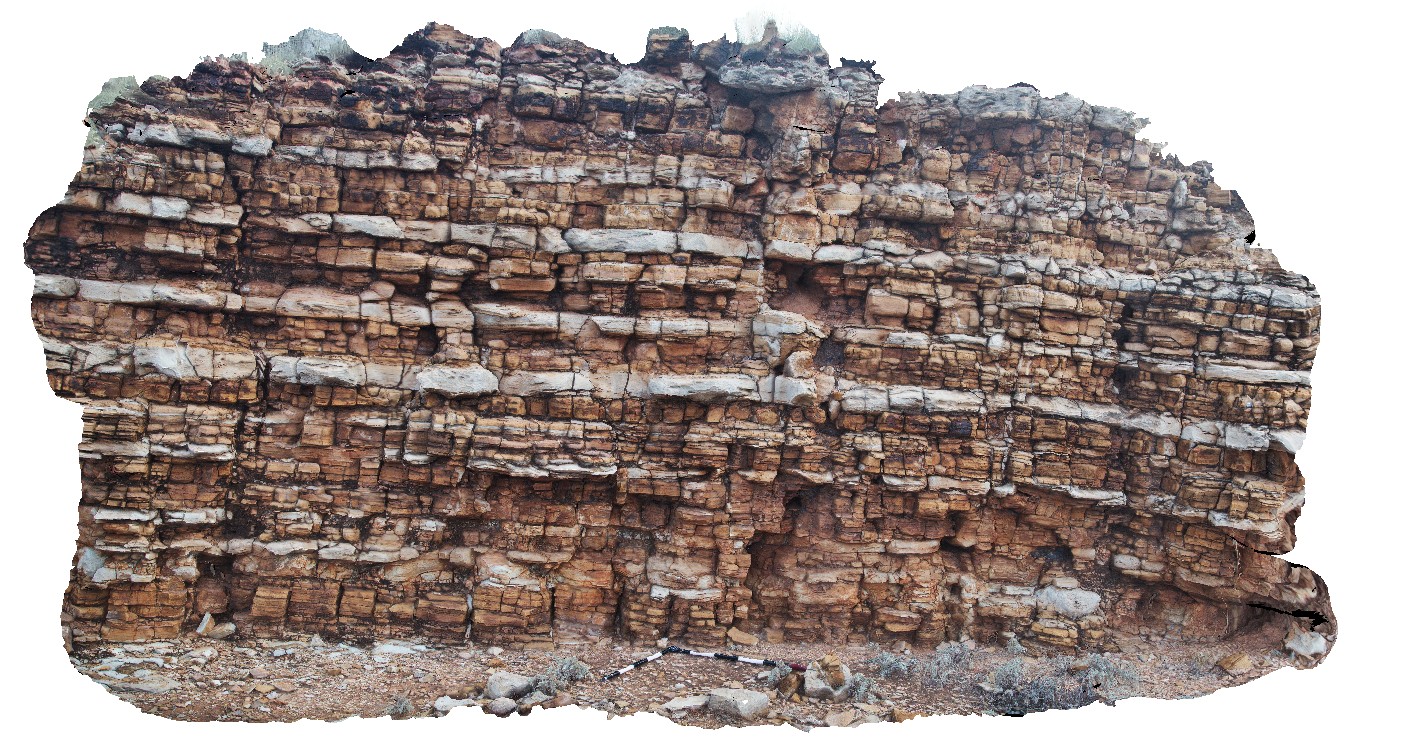
Pingandy7 Map
 |
5 |
05/27/2016 noon |
3D |
thickly bedded dololutite and dolomite. Ashburton Downs - Meekatharra Road, W.A. |
6.00 |
-24.00592000000 |
117.91161000000 |
-9999.000 |
sedimentology, dolostone |
dolostone |
Pingandy8 Map
 |
0 |
05/28/2016 noon |
3D |
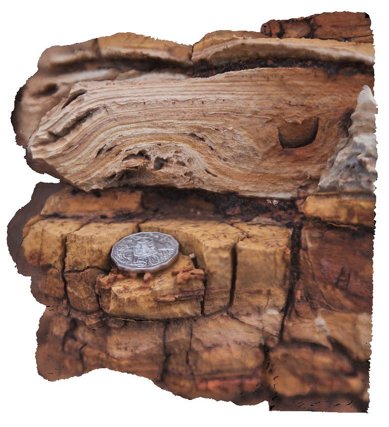
possible stromatolite in dolomite. Ashburton Downs - Meekatharra Road, W.A. |
0.20 |
-24.00592000000 |
117.91161000000 |
-9999.000 |
stromatolite, fossil, palaeontology |
dolostone |
Pingandy9 Map
 |
0 |
05/28/2016 noon |
3D |
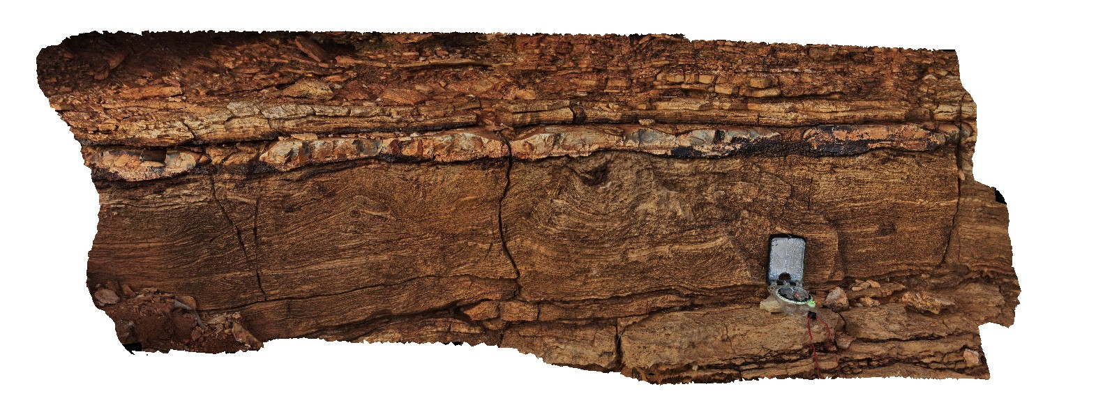
Tee-Pee structures in finely banded carbonate and chert in the Edmund Group. Ashburton Downs - Meekatharra Road, W.A. |
1.20 |
-23.98612000000 |
117.92156000000 |
-9999.000 |
tee-pee structure, sedimentology, carbonate, chert |
carbonate |
PingandyUAV1 Map
 |
0 |
05/28/2016 noon |
UAV |
aerial view of outcrop unconformity between the Edmund Basin and the Ashburton Formation. 'Tchintaby Ridge'. Ashburton Downs - Meekatharra Road, W.A. |
100.00 |
-23.98458850000 |
117.92190660000 |
-9999.000 |
unconformity |
sandstone, sandstone |
PingandyUAV2 Map
 |
0 |
05/28/2016 noon |
UAV |
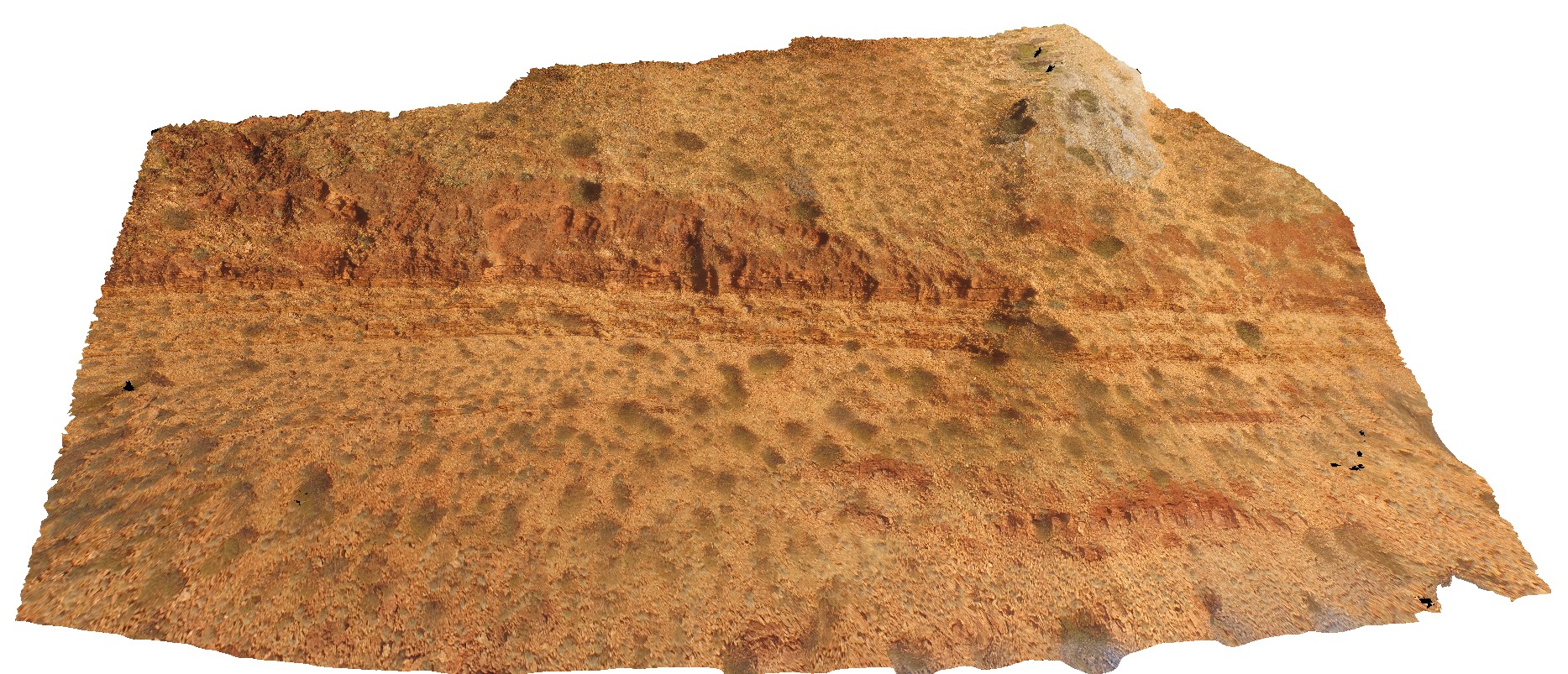
detailed aerial view of outcrop unconformity between the Edmund Basin and the Ashburton Formation. 'Tchintaby Ridge'. Ashburton Downs - Meekatharra Road, W.A. |
50.00 |
-23.98536700000 |
117.92202800000 |
-9999.000 |
Tchintaby Ridge unconformity, Ashburton Formation, Edmund Basin |
sandstone, sandstone |
PipersRiver1 Map
 |
5 |
01/01/9999 midnight |
3D |
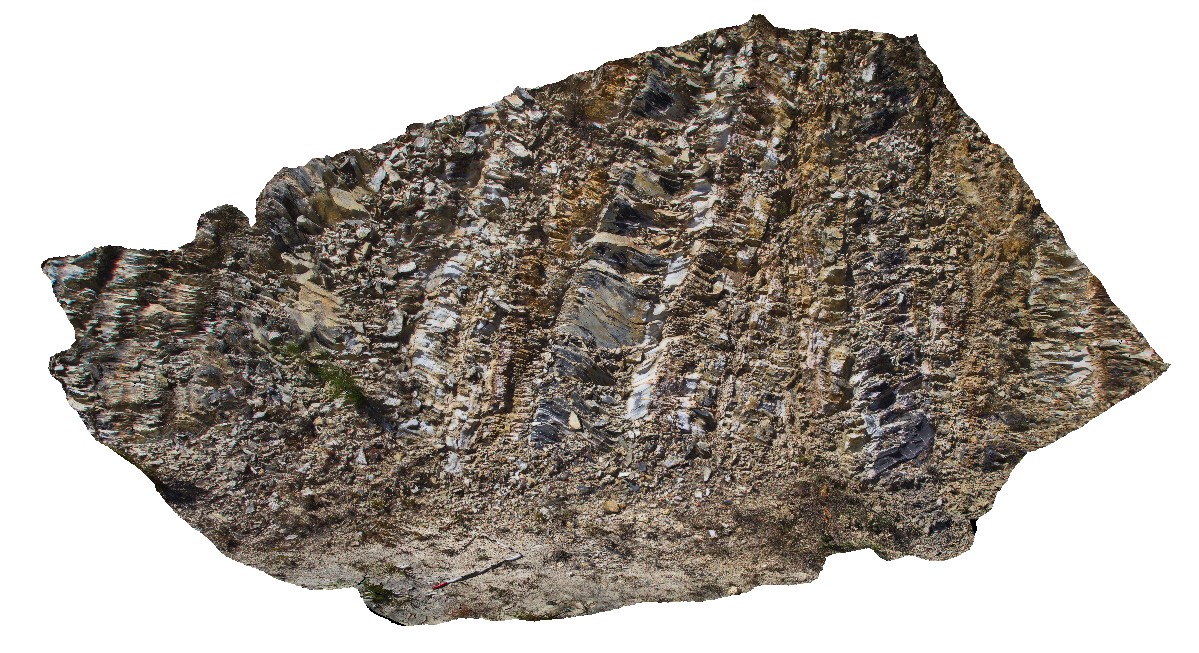
bedding, cleavage and faulting deformation relationships in Mathinna Supergroup rocks. S0 crenulated / folded by S1 with faulting. Pipers River, Northern Tasmania. |
5.00 |
-41.09816000000 |
147.07722000000 |
-9999.000 |
S0, S1, fault, cleavage, crenulated cleavage, structure |
siltstone |
PipersRiver2 Map
 |
5 |
01/01/9999 midnight |
3D |
detail of folded cleavage from site Pipers River1, showing S1 cleavage cutting S1 and faulting. Pipers River, Northern Tasmania. |
1.60 |
-41.09816000000 |
147.07722000000 |
-9999.000 |
cleavage, crenulation cleavage`, bedding, fault, structure |
mudstone |
PipersRiver3 Map
 |
5 |
01/01/9999 midnight |
3D |
recumbent F1 folds in Mathinna Supergroup mudstone. Pipers River, Northern Tasmania. |
0.40 |
-41.09799000000 |
147.07745000000 |
-9999.000 |
fold, recumbent fold, mudstone, F1 fold, structure |
mudstone |
PipersRiver4 Map
 |
5 |
01/01/9999 midnight |
3D |
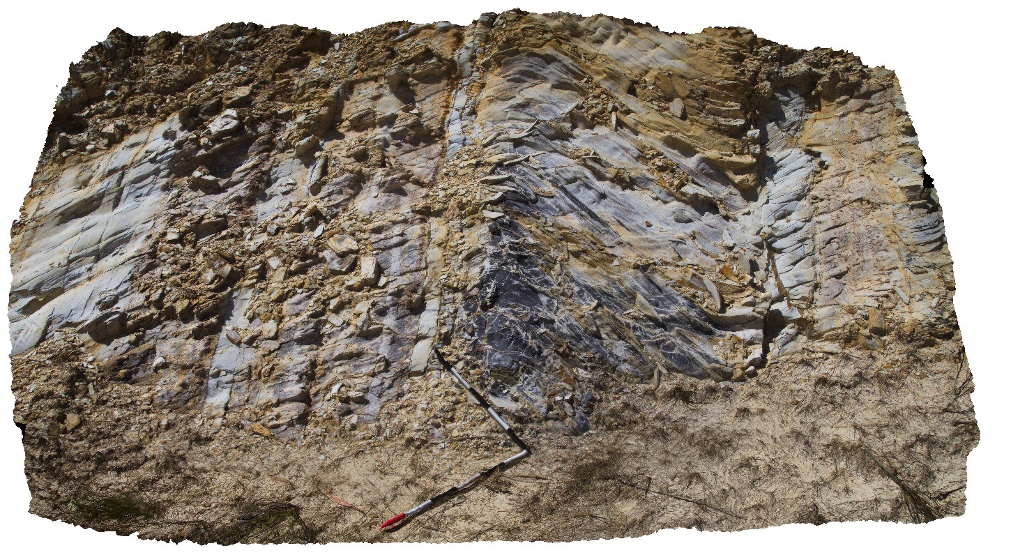
S0 and folded S1 in Mathinna Supergroup - Turquoise Bluff Slate. Pipers River, Northern Tasmania. |
4.00 |
-41.09781000000 |
147.07767000000 |
-9999.000 |
S0, S1, bedding, Turquoise Bluff Slate, structure |
mudstone |
Poatina1 Map
 |
5 |
01/01/9999 midnight |
3D |
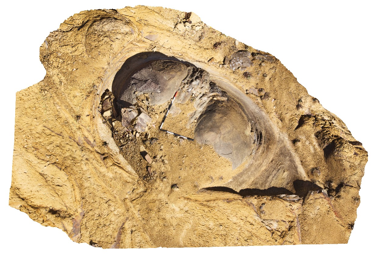
spheroidal weathering in massive Triassic lithic sandstone. Poatina, Tas. |
5.00 |
-41.81257000000 |
146.86055000000 |
-9999.000 |
spheroidal weathering, lithic, sedimentology |
sandstone |
Poatina2 Map
 |
5 |
01/01/9999 midnight |
3D |
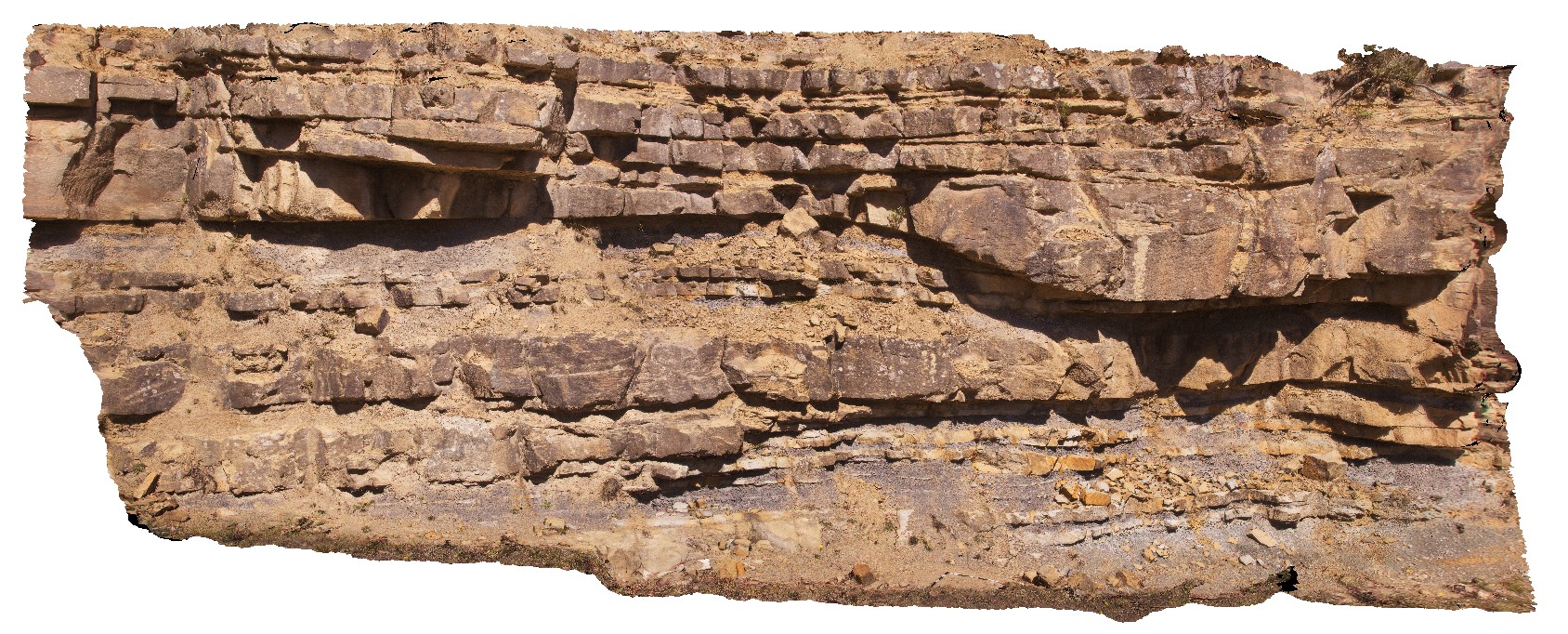
sandstone channels and floodplain facies in Triassic fluvial sediments. Poatina, Tas. |
12.30 |
-41.80975000000 |
146.88664000000 |
-9999.000 |
fluvial, Triassic sandstone, channel facies |
sandstone |
PointAnn1 Map
 |
0 |
06/05/2016 10:45 a.m. |
3D |
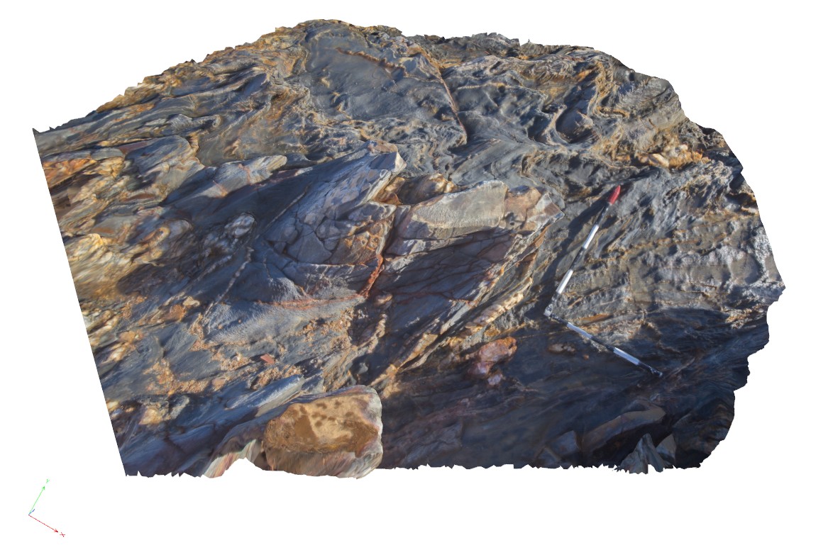
open, moderately plunging, F2 folds in mixed pelitic / psammitic sequence, Point Ann, W.A. |
2.00 |
-34.16975000000 |
119.58247000000 |
-9999.000 |
open fold, moderately plunging fold, pelite, structure |
pelite |
PointAnn2 Map
 |
0 |
06/05/2016 10:45 a.m. |
3D |
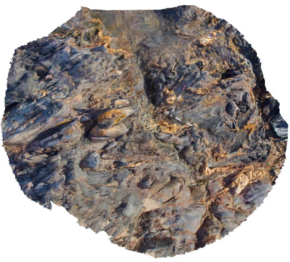
open, moderately plunging, F2 folds in mixed pelitic / psammitic sequence, with quartz veins. Point Ann, W.A. |
4.00 |
-34.16982000000 |
119.58244000000 |
-9999.000 |
folds, structure |
pelite |
PointAnn3 Map
 |
0 |
06/05/2016 10:46 a.m. |
3D |
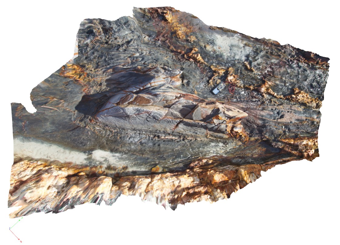
early isoclinal folds and later F2 folds with fold interference patterns. Point Ann, W.A. |
0.00 |
-34.17004000000 |
119.58205000000 |
-9999.000 |
fold interference pattern, F2 folds |
pelite |


