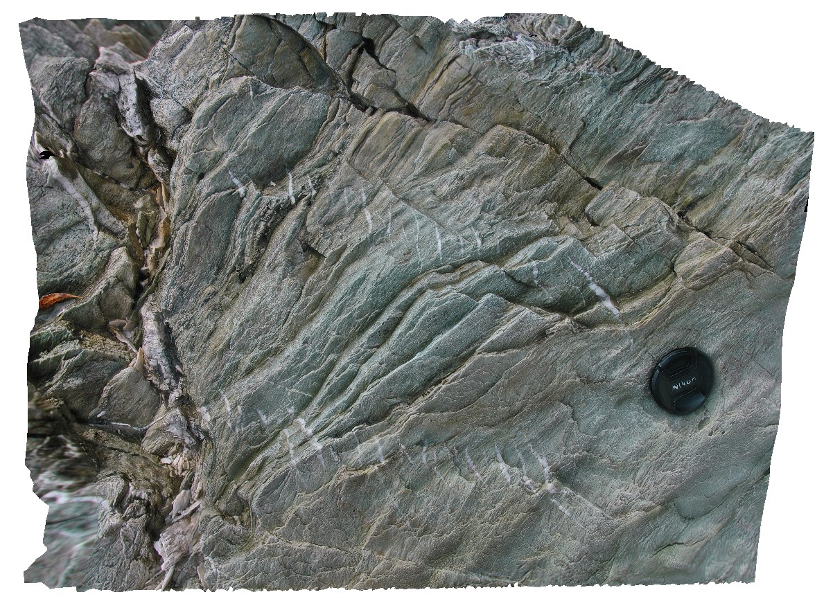
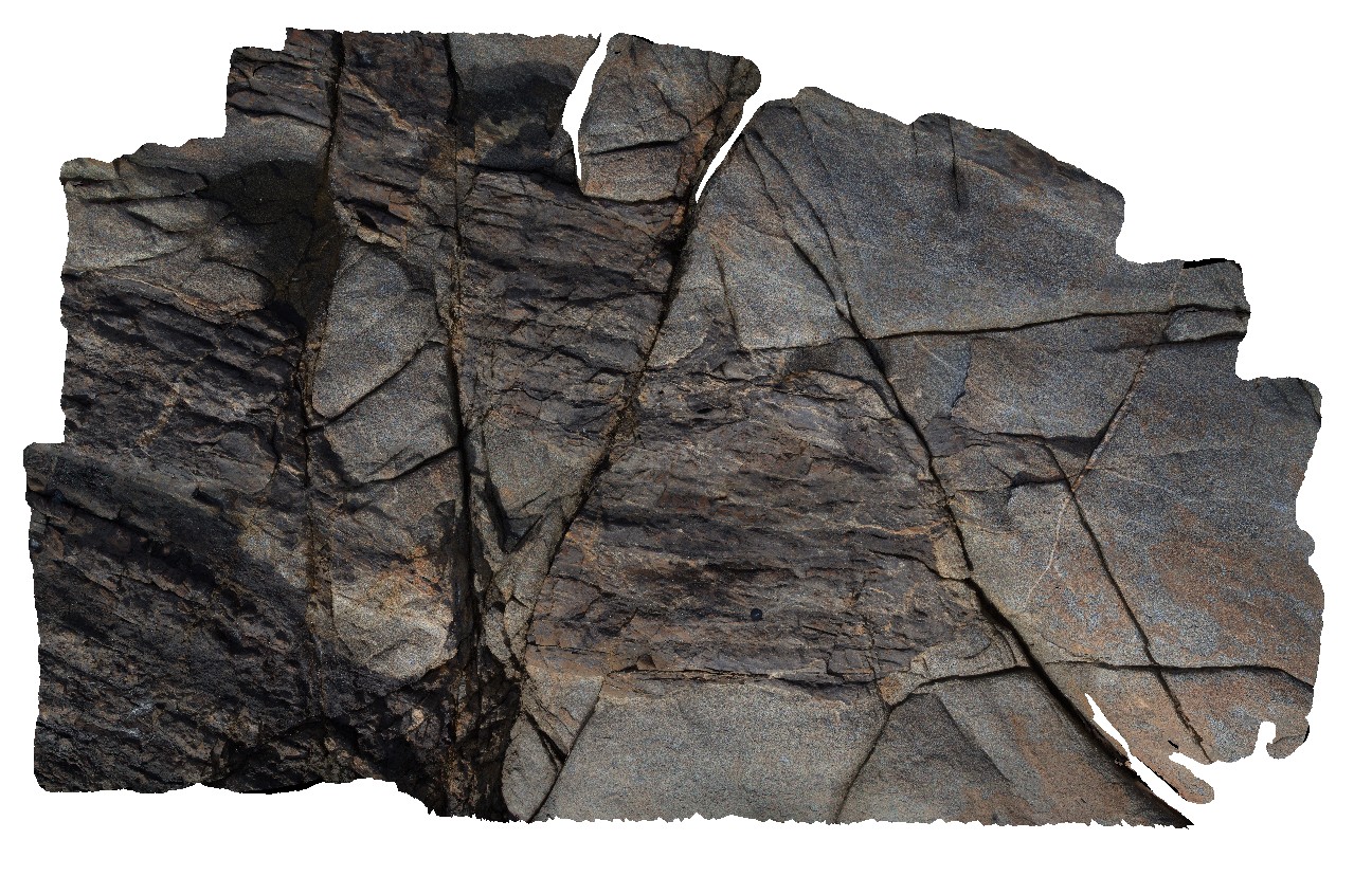
Pedder6 Map
 |
5 |
04/29/2016 11:57 a.m. |
3D |
Lake Pedder, south west Tasmania. |
0.65 |
-42.84937124000 |
146.11347023000 |
-9999.000 |
|
quartzite |
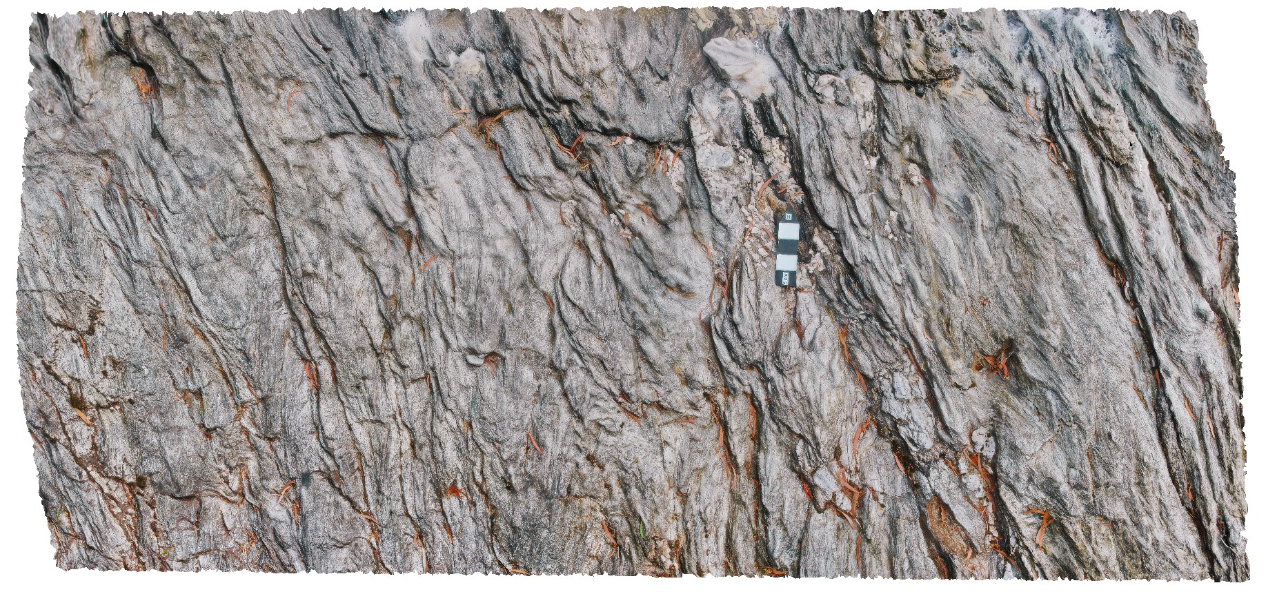
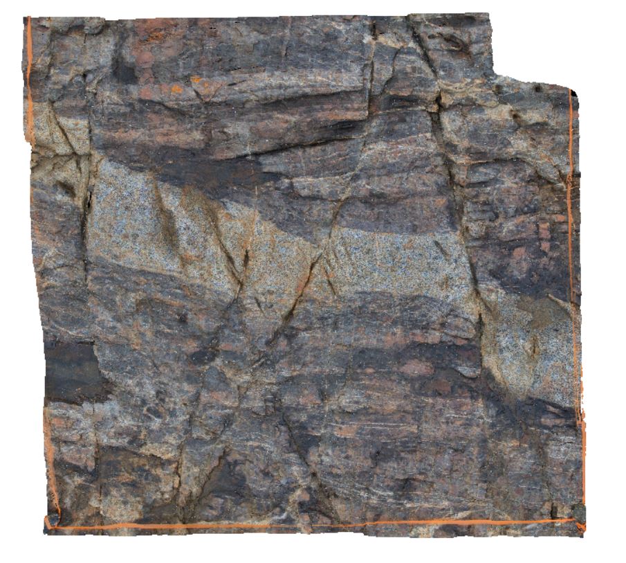
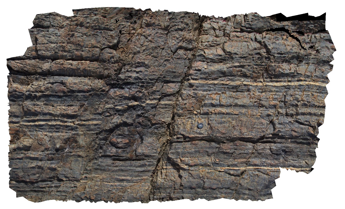
Pedder7 Map
 |
5 |
04/07/2016 1:16 p.m. |
3D |
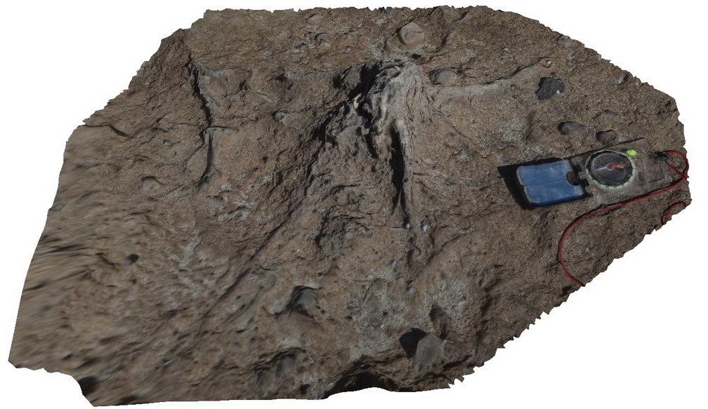
small-scale chevron folding in thinly laminated quartzite. Lake Pedder, south west Tasmania. |
0.70 |
-42.84900708000 |
146.11393893000 |
-9999.000 |
chevron folding, fold, structure |
quartzite |
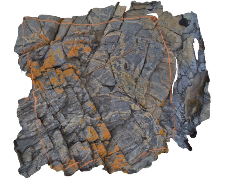
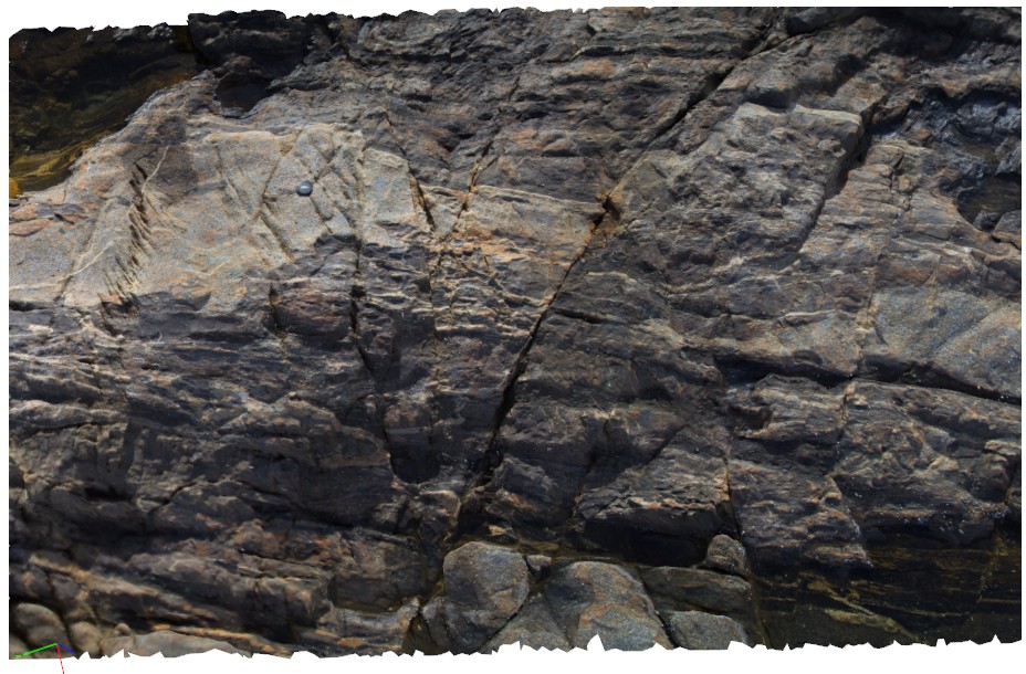
Pedder8 Map
 |
5 |
04/29/2016 12:16 p.m. |
3D |
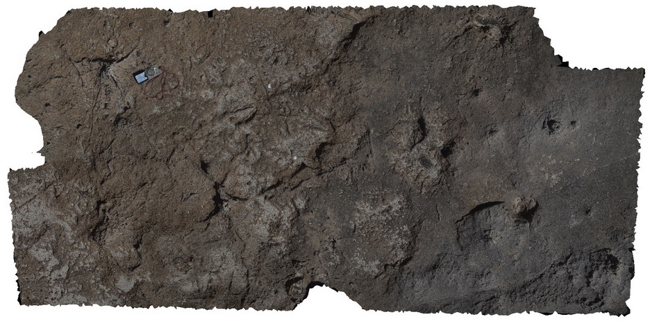
en echelon quartz vein array in quartzite. Lake Pedder, south west Tasmania. |
0.60 |
-42.84976752000 |
146.10409042000 |
-9999.000 |
en echelon, quartz vein, vein array |
phyllite |
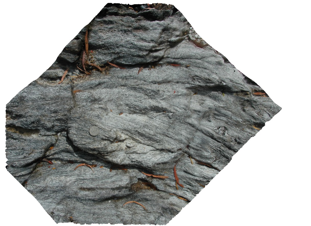
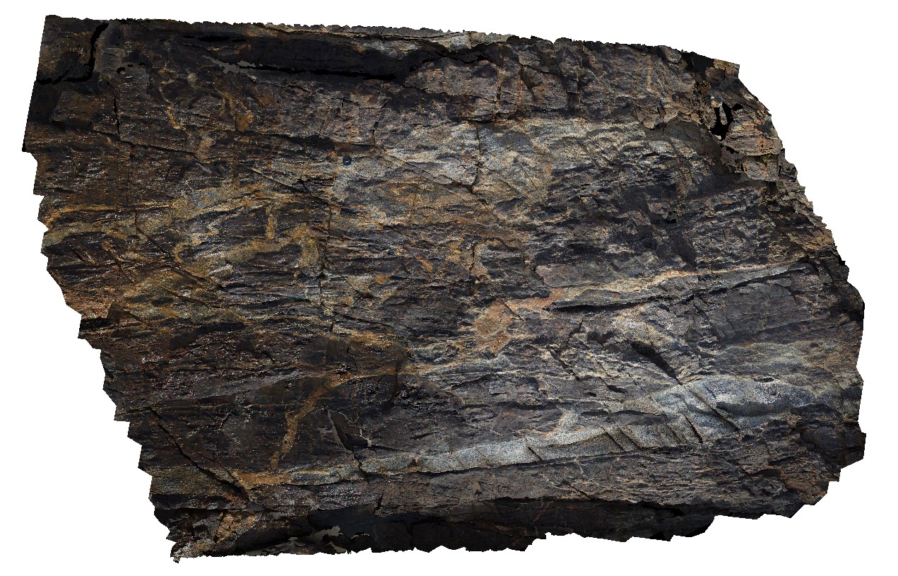
Pedder9 Map
 |
5 |
05/04/2016 11:34 a.m. |
3D |
asymmetric, overturned parasitic folds in green layered phyllite. Lake Pedder, south west Tasmania. |
0.35 |
-42.84937897000 |
146.10428257000 |
-9999.000 |
phyllite, folding, structure, asymmetric fold |
phyllite |
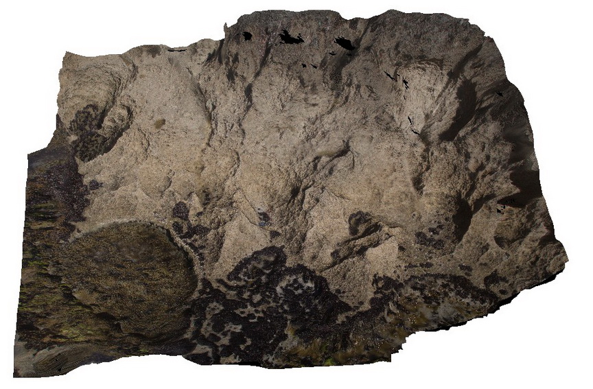
Pennington1 Map
 |
0 |
10/20/2015 3:31 p.m. |
3D |
detail of flat-lying calcarenite, lower Bridgewater Formation. Pennington. Kangaroo Island. |
2.00 |
-35.85672000000 |
137.73549000000 |
-9999.000 |
calcarenite |
calcarenite |
Pennington2 Map
 |
0 |
10/20/2015 3:32 p.m. |
3D |
tree and root casts in calcareous sandstone. Penninton, Kangaroo Island. |
3.00 |
-35.85736000000 |
137.73445000000 |
-9999.000 |
tree cast, root cast, calcareous sandstone |
sandstone |
Pennington3 Map
 |
0 |
10/20/2015 3:32 p.m. |
3D |
detail of stump cast in calcareous sandstones. Pennington, Kangaroo Island. |
0.25 |
-35.85736000000 |
137.73445000000 |
-9999.000 |
calcareous sandstones, cast |
sandstone |
Pennington4 Map
 |
0 |
10/20/2015 3:33 p.m. |
3D |
detail of Petrel Cove Formation meta-sediments, showing bedded, ripup clasts? And other sedimentary features. Pennington Bay, Kangaroo Island. |
1.50 |
-35.86062000000 |
137.73601000000 |
-9999.000 |
bedding, sedimentology |
sandstone |
Pennington5 Map
 |
0 |
10/20/2015 3:33 p.m. |
3D |
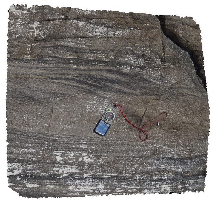
detail of planar and cross-laminations in Petrel Cove sandstone beds. Pennington Bay, Kangaroo Island. |
0.50 |
-35.85093000000 |
137.73552000000 |
-9999.000 |
cross-laminations, sandstone, laminations |
sandstone |
PenningtonFSP1 Map
 |
0 |
10/20/2015 3:33 p.m. |
FSP |
shore platform exposure of steeply dipping Petrel Cove Formation meta-sandstone, overlain by younger Bridgewater Formation calcareous sandstones. Pennington Bay, Kangaroo Island. |
1000.00 |
-35.86037000000 |
137.73471000000 |
-9999.000 |
metasandstone, unconformity, calcareous sandstone, sedimentology |
sandstone, sandstone |
PenningtonFSP2 Map
 |
0 |
10/20/2015 3:33 p.m. |
FSP |
shoreline exposure showing steeply dipping Petrel Cove Sandstone, unconformably overlain by the Bridgewater Formation. Pennington Bay, Kangaroo Island. |
1000.00 |
-35.86018000000 |
137.73450000000 |
-9999.000 |
unconformity, meta-sandstone, calcareous sandstone, sedimentology |
sandstone, sandstone |
PenningtonFSP3 Map
 |
0 |
10/20/2015 3:34 p.m. |
FSP |
shoreline exposure showing steeply dipping Petrel Cove Sandstone, unconformably overlain by the Bridgewater Formation. Pennington Bay, Kangaroo Island. |
1000.00 |
-35.85994000000 |
137.73450000000 |
-9999.000 |
meta-sandstone, calcareous sandstone, unconformity, sedimentology |
sandstone, sandstone |
PenningtonFSP4 Map
 |
0 |
10/20/2015 3:34 p.m. |
FSP |
shore-platform and cliff exposures, showing flat-lying to gently dipping? Calcareous beds of the Bridgewater Formation. Pennington Bay, Kangaroo Island. |
1000.00 |
-35.85964000000 |
137.73453000000 |
-9999.000 |
calcareous sandstone, sedimentology |
sandstone |
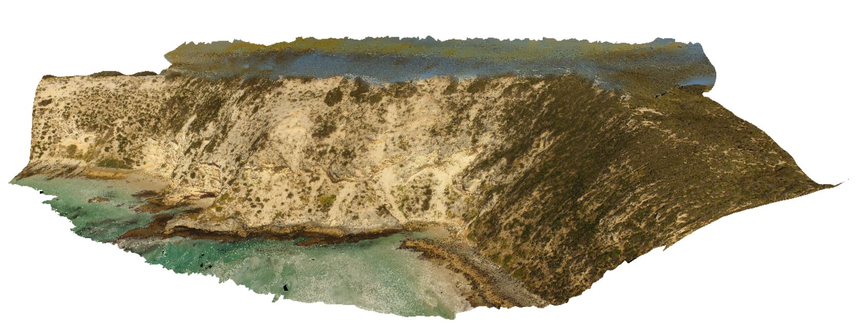
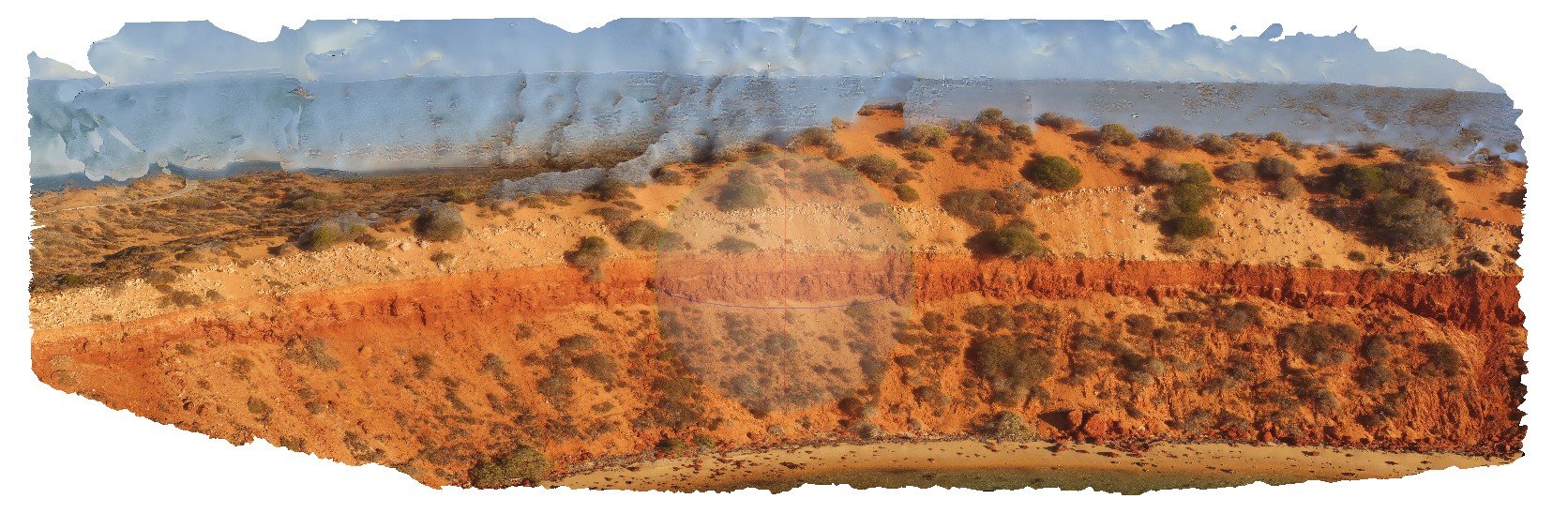
PenningtonUAV1 Map
 |
0 |
10/20/2015 3:34 p.m. |
UAV |
aerial view of calcarenite cliff at Pennington, Kangaroo Island. |
100.00 |
-35.85815100000 |
137.73509800000 |
-9999.000 |
calcarenite, cliff |
calcarenite |
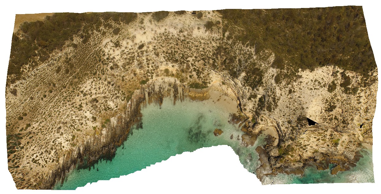
PenningtonUAV2 Map
 |
0 |
10/20/2015 3:34 p.m. |
UAV |
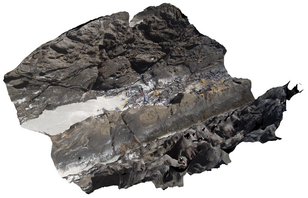
aerial view showing the Petrel Cove Formation of the Kanmantoo Trough overlain by the younger Bridgewater Formation. Pennington Bay, Kangaroo Island. |
500.00 |
-35.85948000000 |
137.73521600000 |
-9999.000 |
unconformity, sandstone, calcareous sandstone |
sandstone, sandstone |
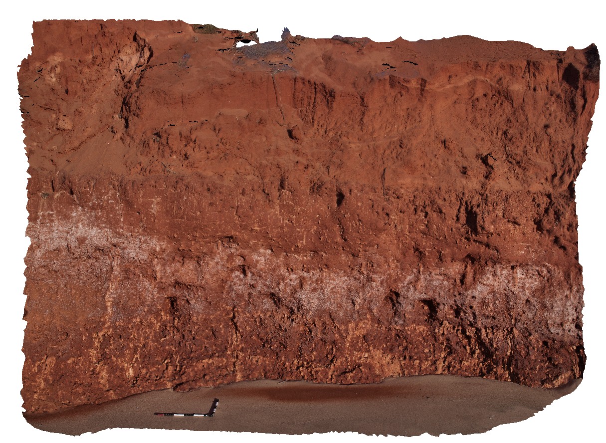
Peron1 Map
 |
0 |
05/23/2016 noon |
3D |
low cliff of Peron Sandstone overlain by aeolian sand. Peron sandstone has carbonate 'tubes' and possible rhizomes. Cape Peron, Shark Bay, W.A. |
3.00 |
-25.51383800000 |
113.51588500000 |
-9999.000 |
unconformity, root structures, red sandstone |
sandstone |
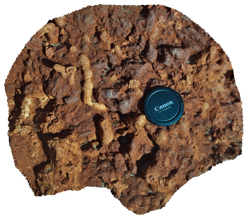
Peron2 Map
 |
0 |
05/23/2016 noon |
3D |
detail of carbonate 'tubes / roots' in sandstone. Possible bioturbation. Cape Peron, Shark Bay, W.A. |
0.40 |
-25.51383800000 |
113.51588500000 |
-9999.000 |
root structures, bioturbation, red sandstone |
sandstone |
Peron3 Map
 |
0 |
05/23/2016 noon |
3D |
low cliff of bedded Peron sandstone, overlain by aeolian sand and calcrete capping. Cape Peron, Shark Bay, W.A. |
10.00 |
-25.51383800000 |
113.51588500000 |
-9999.000 |
unconformity, red sandstone, aeolian sand |
sandstone, sand |
PeronUAV1 Map
 |
0 |
05/23/2016 noon |
UAV |
flat lying, bedded sandstone cliff with overlaying aeolian sand containing rhizomes. Cape Peron, Shark Bay, W.A. |
10.00 |
-25.51383800000 |
113.51588500000 |
-9999.000 |
red sandstone, root structures, soil concretions, unconformity |
sandstone, sand |
Piccaninny1 Map
 |
50 |
01/01/9999 midnight |
3D |
grey granodiorite dyke intruding bedded turbidite sequences of the Mathinna Supergroup with small contact metamorphic halo and offset by small faults. Piccaninny Point, eastern Tasmania. |
5.00 |
-41.69446100000 |
148.29395280000 |
5.000 |
intrusive contact, dyke, turbidite, contact metamorphic aureole, fault |
turbidite, granodiorite |
Piccaninny10 Map
 |
50 |
01/01/9999 midnight |
3D |
granodiorite dyke with irregular intrusive contact with host turbidite package. Folding is present in the outcrop and in small dykelets. Piccaninny Point, eastern Tasmania. |
2.00 |
-41.69446100000 |
148.29395280000 |
5.000 |
dyke, intrusive contact, fold, structure |
turbidite, granodiorite |
Piccaninny20 Map
 |
20 |
03/13/2015 9:05 a.m. |
3D |
Long Point Granodiorite dyke within hornfelsed Mathinna Supergroup. Deformed aplite dykes cross cut bedding within the Mathinna. Piccaninny Point, eastern Tasmania. |
8.00 |
-41.69566000000 |
148.29369500000 |
2.000 |
Long Point Granodiorite, Mathinna Supergroup, dyke, hornfels, igneous |
Turbidite, Granodiorite, Aplite |
Piccaninny21 Map
 |
20 |
03/13/2015 9:05 a.m. |
3D |
Major left lateral fault through hornfelsed well bedded, pervasively microfaulted Mathinna Supergroup. Piccaninny Point, eastern Tasmania. |
5.00 |
-41.69572100000 |
148.29369900000 |
2.000 |
Mathinna Supergroup, Fault, Hornfels, structure |
Turbidite, Granodiorite |
Piccaninny22 Map
 |
20 |
03/13/2015 9:05 a.m. |
3D |
Granodiorite intrusion cross cutting hornfelsed Mathinna Supergroup. Extension veins through the granodiorite extend into the Mathinna. Mathinna has been assimilated into the granodiorite at the edges of the intrusion. Small zone of migmatite. Tas. |
6.00 |
-41.69559100000 |
148.29370000000 |
2.000 |
Mathinna Supergroup, igneous, hornfels, extension vein, migmatite, assimilated, fault, structure |
Turbidite, Granodiorite |
Piccaninny23 Map
 |
20 |
03/13/2015 9:06 a.m. |
3D |
well defined conjugate faults within Long Point Granodiorite and semi assimilated xenolith of Mathinna Supergroup. Piccaninny Point, eastern Tasmania. |
8.00 |
-41.69552000000 |
148.29365700000 |
3.000 |
igneous, structure, conjugate fault, assimilated |
Turbidite, Granodiorite |