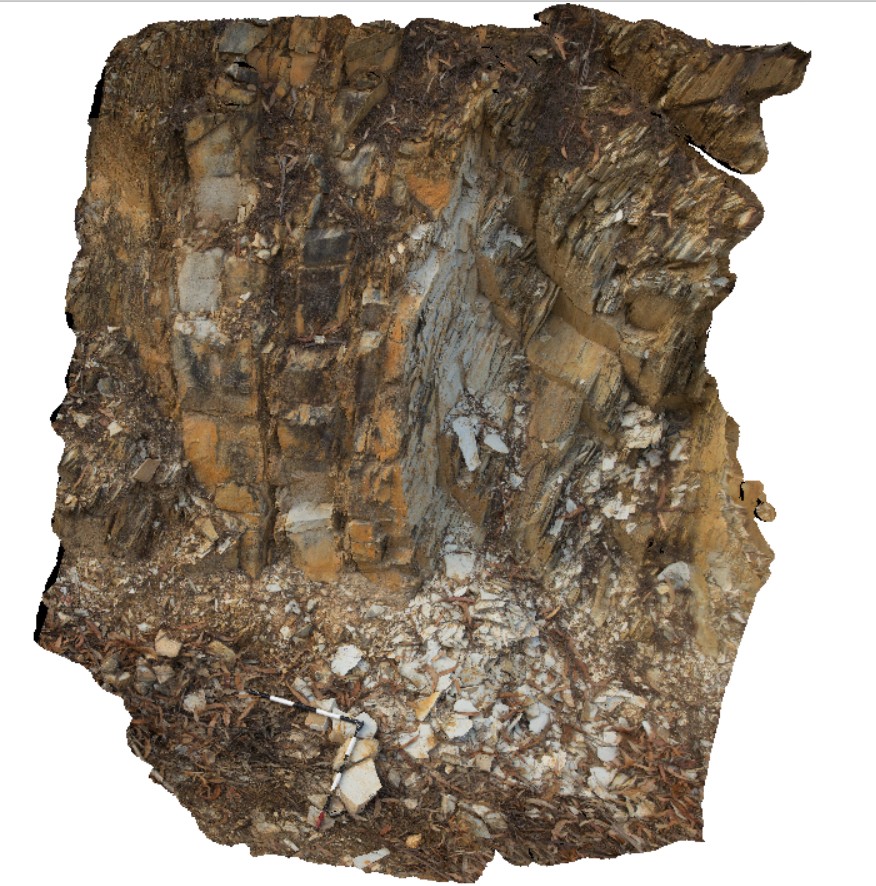
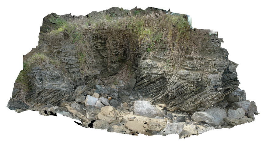
LitchfieldFSP2 Map
 |
0 |
06/23/2016 noon |
FSP |
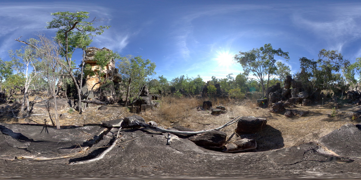
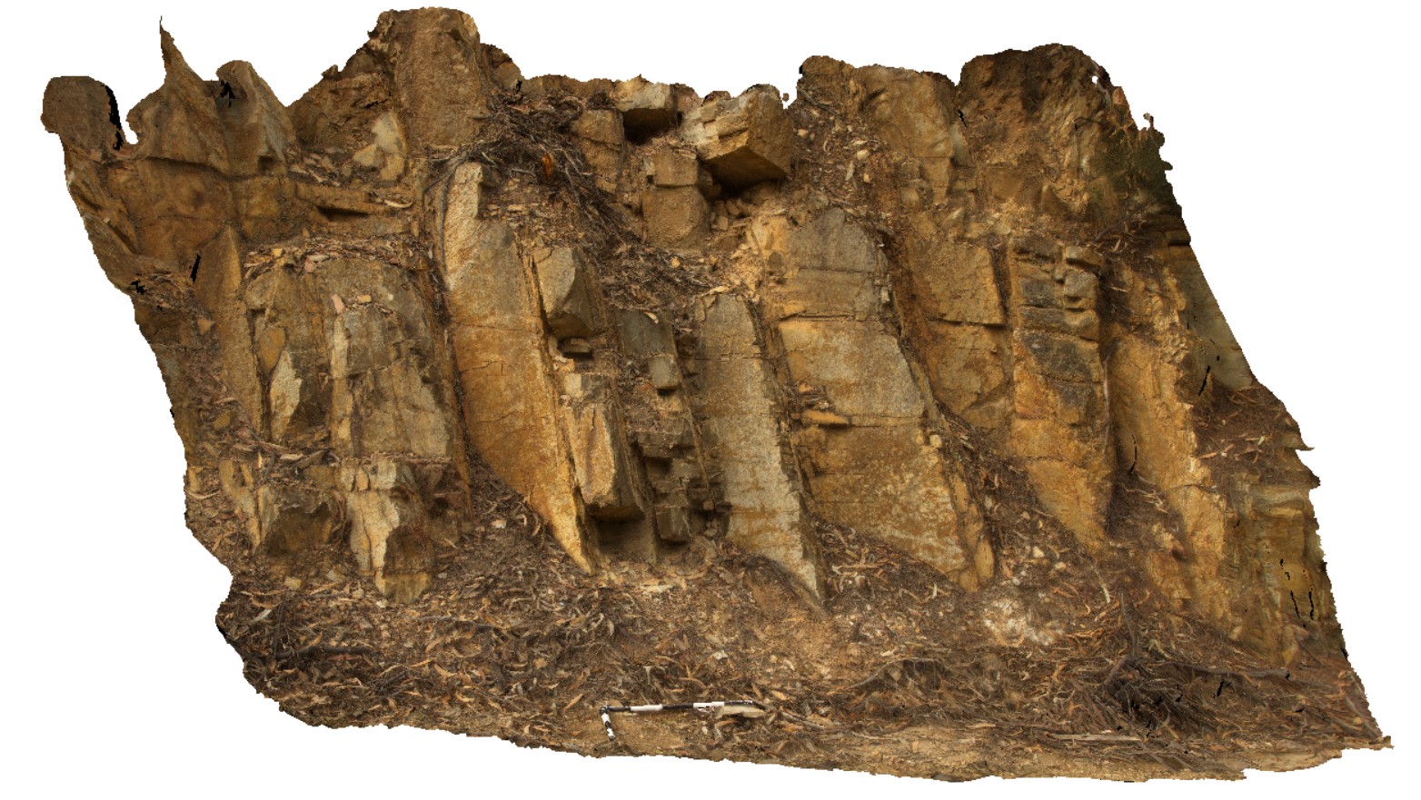
bedded conglomerate, pebbly sandstone, sandstone and lesser dolostone that has eroded from towers. Litchfield National Park, N.T. |
100.00 |
-13.21681000000 |
130.73569000000 |
-9999.000 |
conglomerate, sandstone, sedimentology, tower |
sandstone |
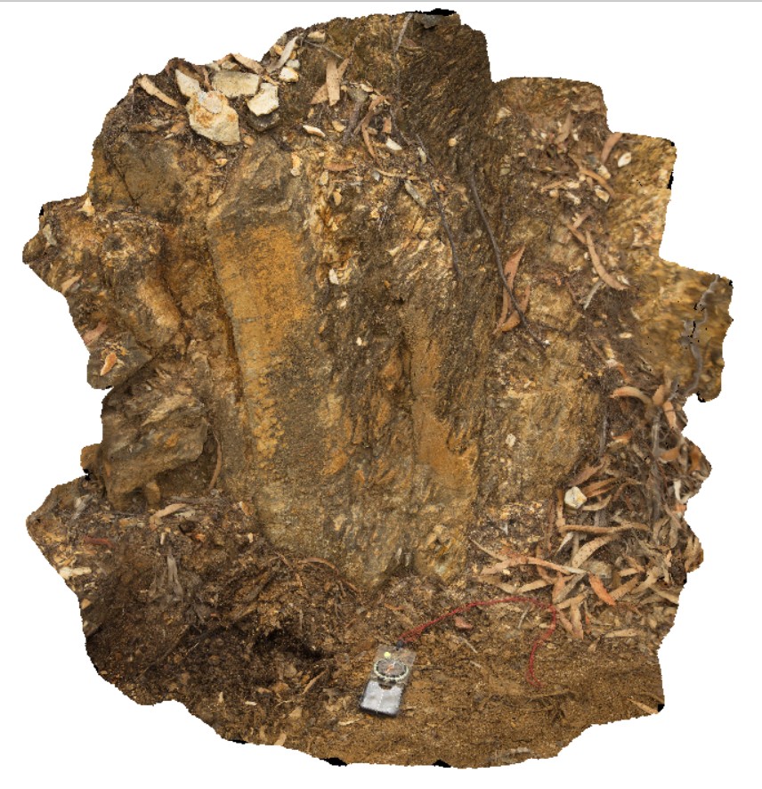
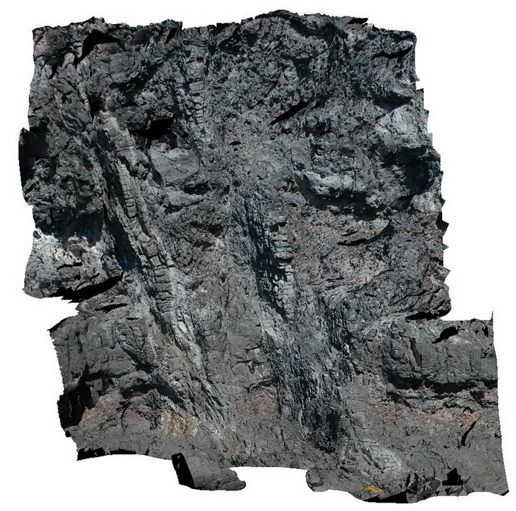
LitchfieldFSP3 Map
 |
0 |
06/23/2016 noon |
FSP |
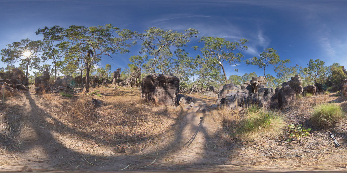
cross bedding in sandstone towers at Lost City Rock Formations. Litchfield National Park, N.T. |
100.00 |
-13.21704000000 |
130.73532000000 |
-9999.000 |
Litchfield National Park, cross bedding, sandstone, sedimentology |
sandstone |
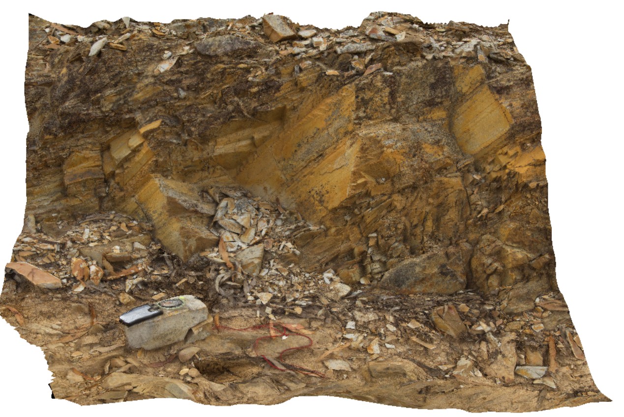
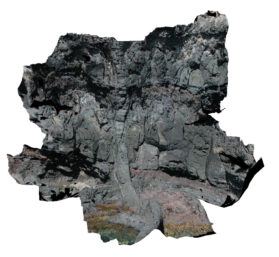
LitchfieldFSP4 Map
 |
0 |
06/23/2016 noon |
FSP |
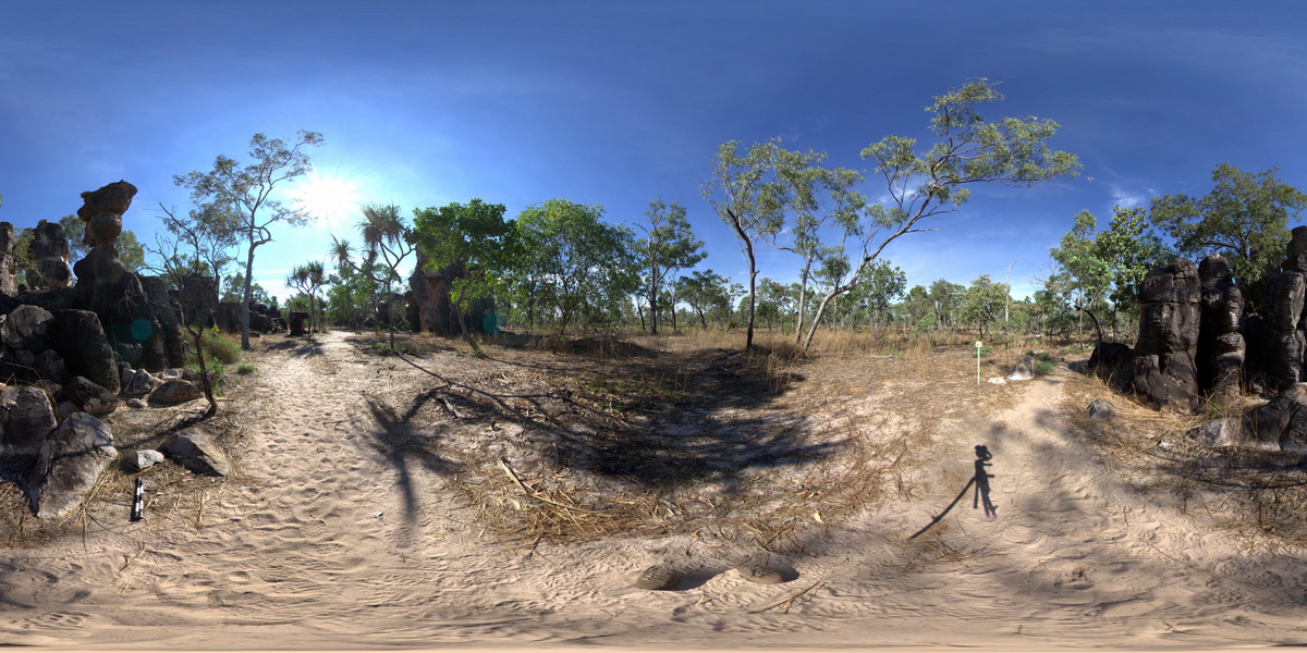
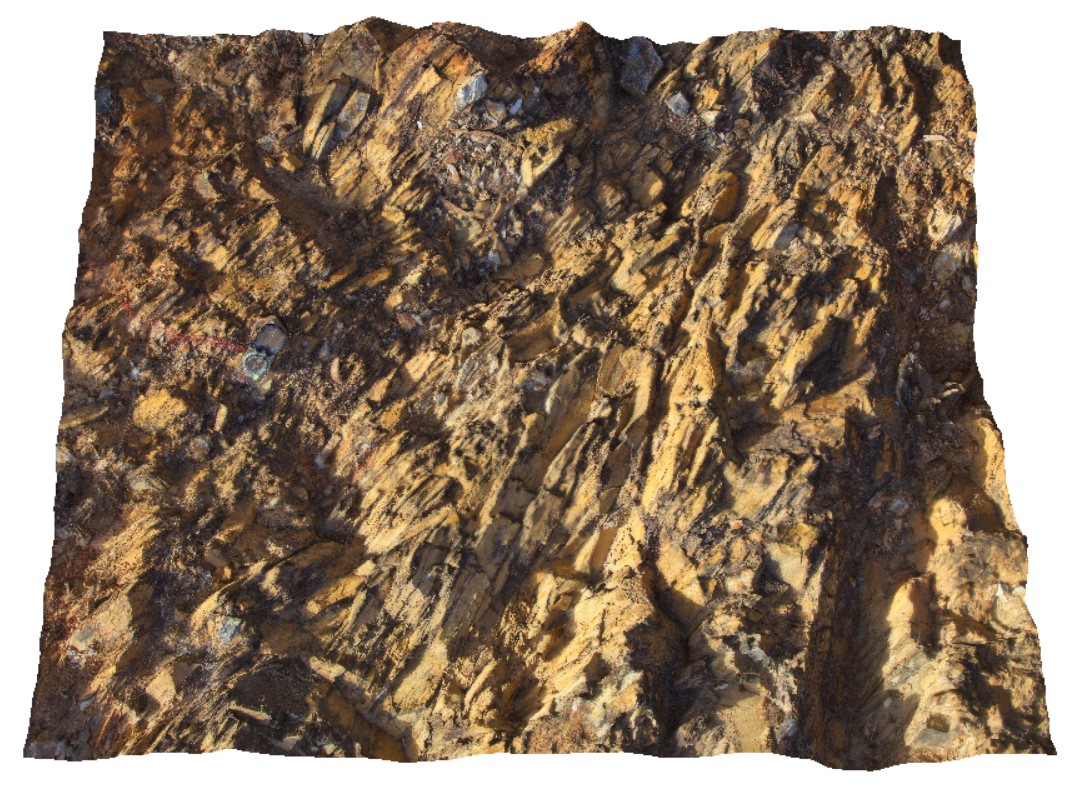
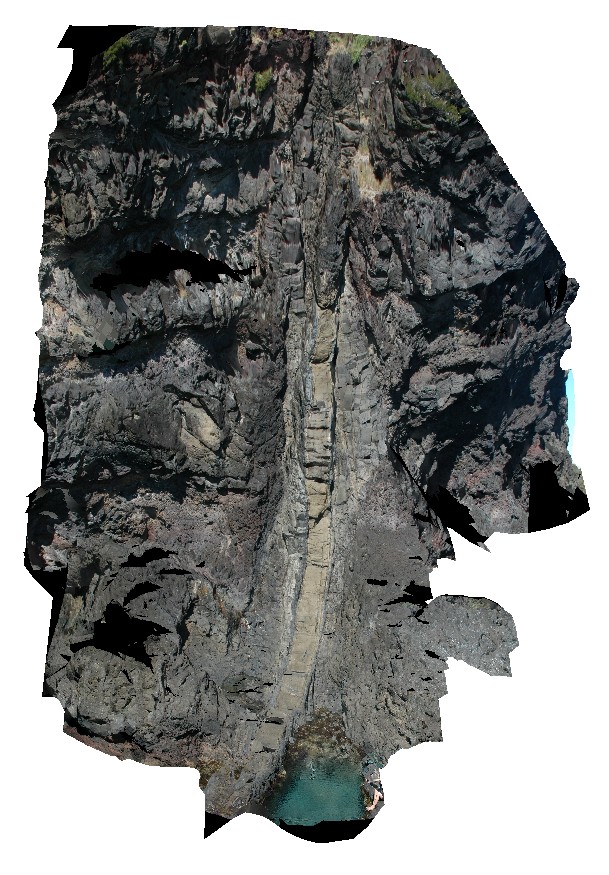
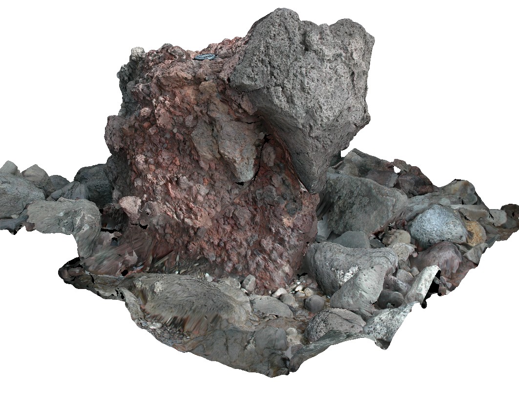
cross bedded conglomerate and dolostone towers at Lost City Rock Formations. Litchfield National Park, N.T. |
100.00 |
-13.21803000000 |
130.73550000000 |
-9999.000 |
cross bedding, conglomerate, dolostone, sedimentology, Litchfield National Park |
conglomerate |
LitchfieldFSP5 Map
 |
0 |
06/23/2016 noon |
FSP |
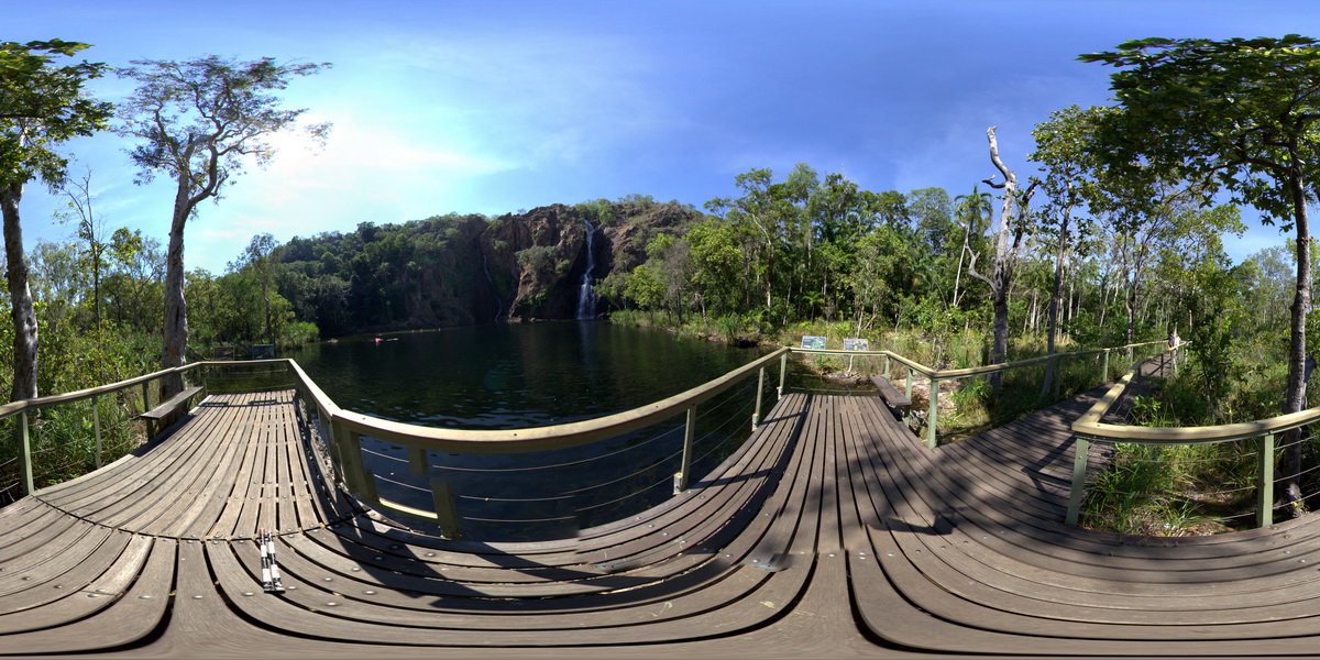
Wangi Falls flowing over bedded sandstone. Litchfield National Park, N.T. |
100.00 |
-13.16383000000 |
130.68431000000 |
-9999.000 |
sandstone, sedimentology |
sandstone |
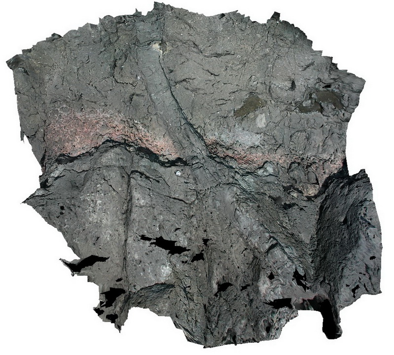
LohreysRd1 Map
 |
0 |
02/23/2016 9:18 a.m. |
3D |
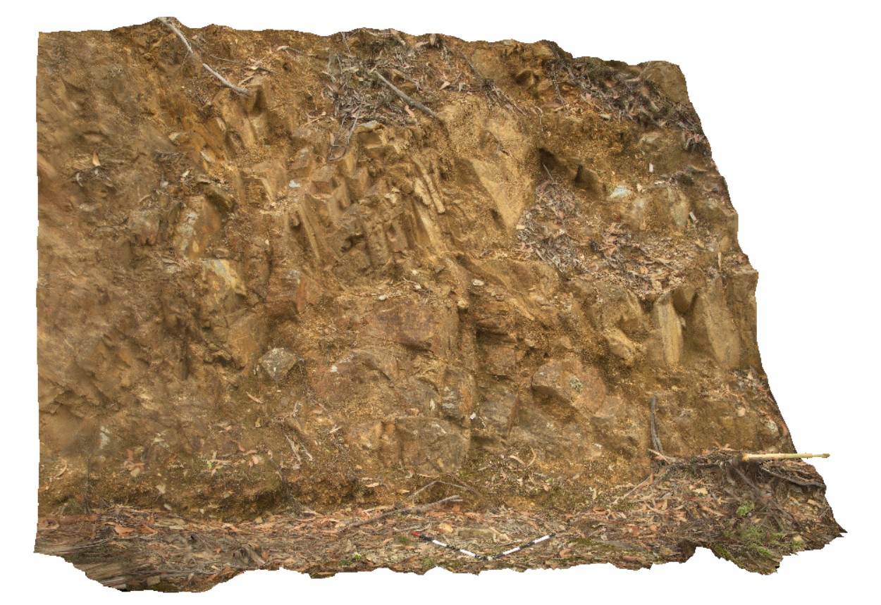
folded Mathinna Group sediments with pronounced cleavage and jointing. Catos Rd, Tasmania. |
1.00 |
-41.50162000000 |
148.11610000000 |
-9999.000 |
cleavage, jointing, folding |
siltstone |
LohreysRd2 Map
 |
0 |
02/23/2016 9:18 a.m. |
3D |
complex folding in Mathinna Group sediments, Catos Rd, Tasmania. |
3.00 |
-41.50414000000 |
148.11336000000 |
-9999.000 |
folding, structure |
siltstone |
LohreysRd3 Map
 |
0 |
02/23/2016 9:19 a.m. |
3D |
inclined anticline in Mathinna Group sediments, Catos Rd, Tasmania. |
4.50 |
-41.50421000000 |
148.11351000000 |
-9999.000 |
inclined fold, anticline, deformation |
siltstone |
LohreysRd4 Map
 |
0 |
02/23/2016 9:19 a.m. |
3D |
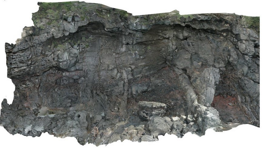
faulted synform and antiform in Mathinna Group sediments, Catos Rd, Tasmania. |
10.00 |
-41.50368000000 |
148.11310000000 |
-9999.000 |
synform, antiform, folding, fault |
siltstone |
LohreysRd5 Map
 |
0 |
04/07/2016 1:55 p.m. |
3D |
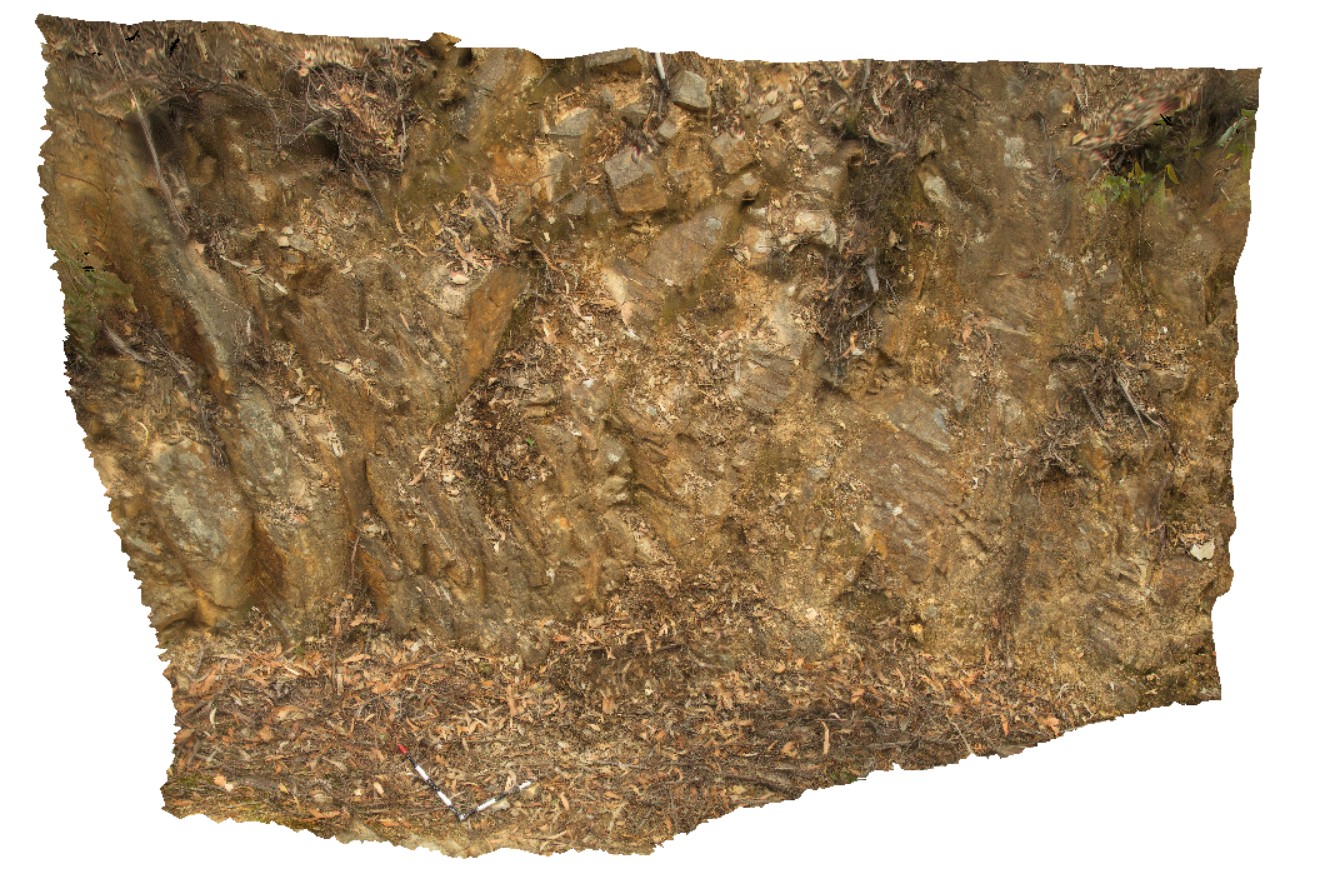
small outcrop showing bedding, cleavage and jointing in Mathinna Group sediments. Catos Rd, Tasmania. |
0.60 |
-41.50318000000 |
148.11304000000 |
-9999.000 |
cleavage, jointing |
siltstone |
LohreysRd6 Map
 |
0 |
04/07/2016 1:56 p.m. |
3D |
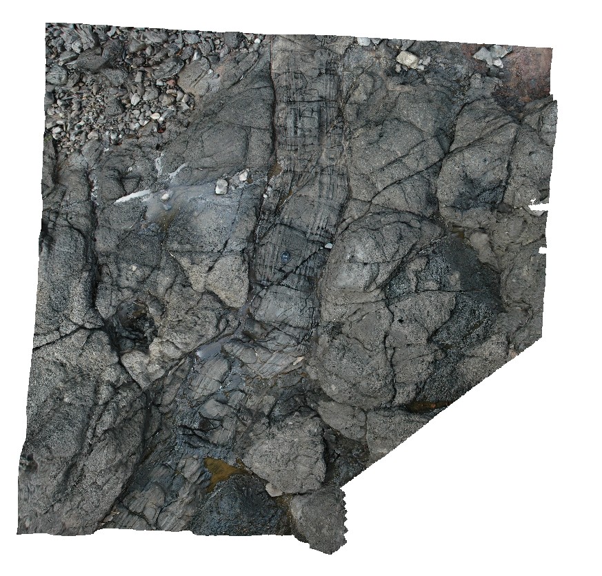
view of bedding and cleavage relationship in fold limb. Catos Rd, Tasmania. |
0.60 |
-41.50292000000 |
148.11360000000 |
-9999.000 |
cleavage, fold limb, bedding |
siltstone |
LohreysRd7 Map
 |
0 |
04/07/2016 1:56 p.m. |
3D |
bedding to cleavage relationships in Mathinna Group sediments, Catos Rd, Tasmania. |
2.00 |
-41.50263000000 |
148.11432000000 |
-9999.000 |
cleavage, bedding, fold |
siltstone |
LohreysRd8 Map
 |
0 |
04/07/2016 1:56 p.m. |
3D |
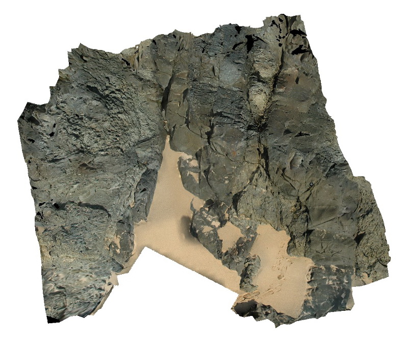
fault striations and steps on surface. Catos Rd, Tasmania. |
0.40 |
-41.50199000000 |
148.11554000000 |
-9999.000 |
fault surface, striations, fault steps |
sandstone |
LohreysRd9 Map
 |
0 |
04/07/2016 1:55 p.m. |
3D |
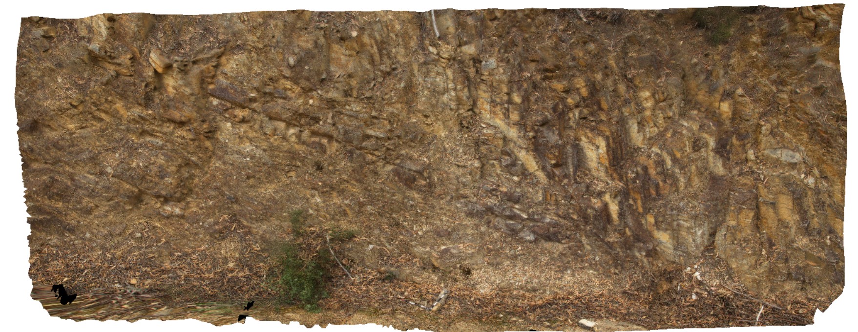
bedding, jointing and cleavage relationships in Mathinna Group sediments, Catos Rd, Tasmania. |
2.50 |
-41.50143000000 |
148.11740000000 |
-9999.000 |
cleavage, bedding, joint |
sandstone |
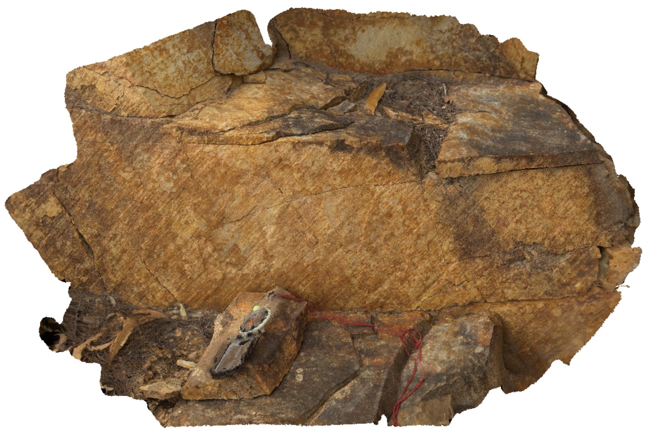
LordHowe1 Map
 |
20 |
03/16/2015 2:50 p.m. |
3D |
basalts intruded by dyke with altered contact aureole. Lord Howe Island. |
4.50 |
-31.51223562000 |
159.04326309000 |
0.000 |
dyke, basalt, contact aureole |
basalt |
LordHowe10 Map
 |
20 |
03/16/2015 2:50 p.m. |
3D |
basalts intruded by dykes. Lord Howe Island. |
0.00 |
-31.52197862000 |
159.05226474000 |
0.000 |
dyke, intrusion |
basalt |
LordHowe11 Map
 |
20 |
03/16/2015 2:50 p.m. |
3D |
fine grained dyke intruding basalts. Lord Howe Island. |
4.00 |
-31.52093803000 |
159.05276210000 |
0.000 |
dyke, intrusion, basalt |
basalt |
LordHowe12 Map
 |
20 |
03/16/2015 2:50 p.m. |
3D |
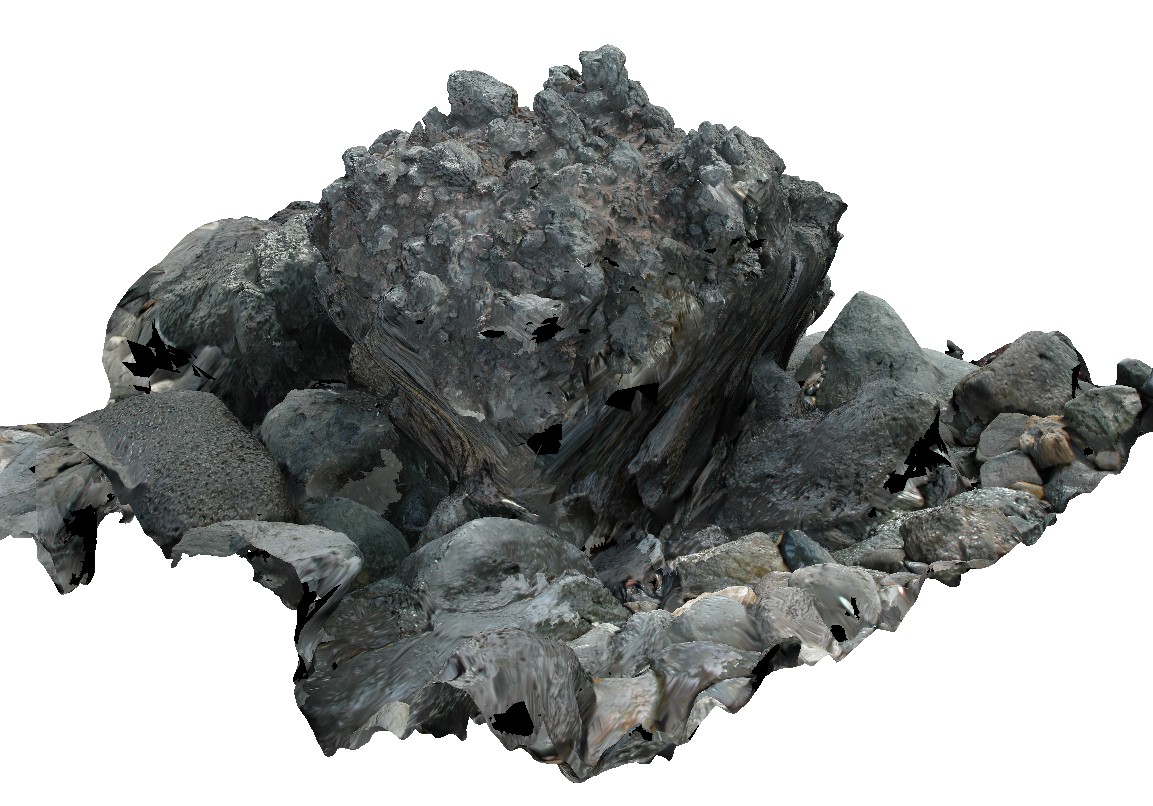
block of welded? Scoria. Lord Howe Island. |
1.00 |
-31.52021693000 |
159.05343760000 |
0.000 |
|
basalt |
LordHowe13 Map
 |
20 |
03/16/2015 2:51 p.m. |
3D |
welded scoria. Lord Howe Island. |
0.00 |
-31.51990632000 |
159.05360757000 |
0.000 |
|
basalt |
LordHowe14 Map
 |
20 |
03/16/2015 2:51 p.m. |
3D |
flow banded edges in dyke intruding basalts. Lord Howe Island. |
2.00 |
-31.52042509000 |
159.05329047000 |
0.000 |
dyke, intrusion |
basalt |
LordHowe15 Map
 |
20 |
03/16/2015 2:51 p.m. |
3D |
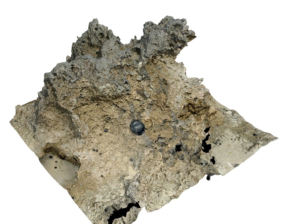
weathered calcarenite. Lord Howe Island. |
1.00 |
-31.52049204000 |
159.05723998000 |
0.000 |
calcarenite, sedimentology |
calcarenite |
LordHowe16 Map
 |
20 |
03/16/2015 2:51 p.m. |
3D |
cross bedding in calcareous sands, showing high angle beds truncated by flat overlying layers. Lord Howe Island. |
3.00 |
-31.52292326000 |
159.05789234000 |
0.000 |
sedimentology, cross bedding |
sandstone |
LordHowe2 Map
 |
20 |
03/16/2015 2:51 p.m. |
3D |
sub vertical dyke intruding basalts. Lord Howe Island. |
4.00 |
-31.51208767000 |
159.04361289000 |
0.000 |
dyke, basalt |
basalt |
LordHowe3 Map
 |
20 |
03/16/2015 2:51 p.m. |
3D |
dykes intruding basalt package, crosscut by faulting. Lord Howe Island. |
12.00 |
-31.51219080000 |
159.04403311000 |
0.000 |
fault, structure, dyke, basalt |
basalt |
LordHowe4 Map
 |
20 |
03/16/2015 2:52 p.m. |
3D |
dyke cross cutting basalt flows and scoria beds. Lord Howe Island. |
2.00 |
-31.51417954000 |
159.04388484000 |
0.000 |
basalt, dyke, scoria |
basalt |
LordHowe5 Map
 |
20 |
03/16/2015 2:52 p.m. |
3D |
irregular dyke crosscutting basalt. Lord Howe Island. |
2.50 |
-31.55435777000 |
159.09508447000 |
0.000 |
dyke, basalt, intrusive |
basalt |