Drummond1 Map
 |
0 |
11/06/2015 9:29 a.m. |
3D |
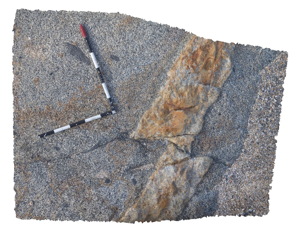
aplite dyke in xenolithic granite. Dyke is cut by small faults that are shears in the granite. Drummond Point. S.A. |
1.50 |
-34.15666000000 |
135.25525000000 |
-9999.000 |
aplite dyke, shear, structure |
granite, aplite |
Drummond2 Map
 |
0 |
11/06/2015 9:30 a.m. |
3D |
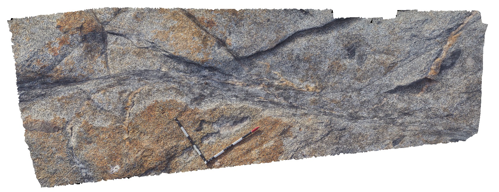
sinistral shear zone in granite off setting quartz vein. Drummond Point. S.A. |
3.50 |
-34.15685000000 |
135.25514000000 |
-9999.000 |
shear zone, sinistral |
granite |
Drummond3 Map
 |
0 |
11/06/2015 9:30 a.m. |
3D |
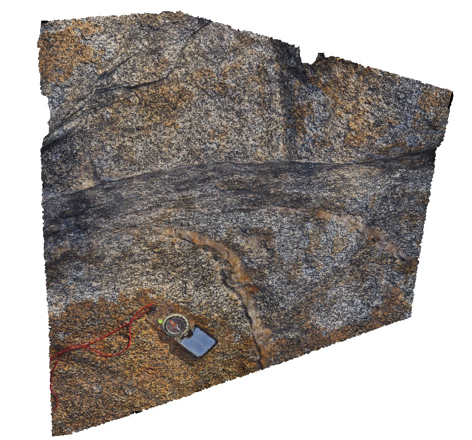
detail of shear offsetting quartz veins. Drummond Point. S.A. |
1.50 |
-34.15685000000 |
135.25514000000 |
-9999.000 |
shear, structure |
granite |
Drummond4 Map
 |
0 |
02/12/2016 12:20 p.m. |
3D |
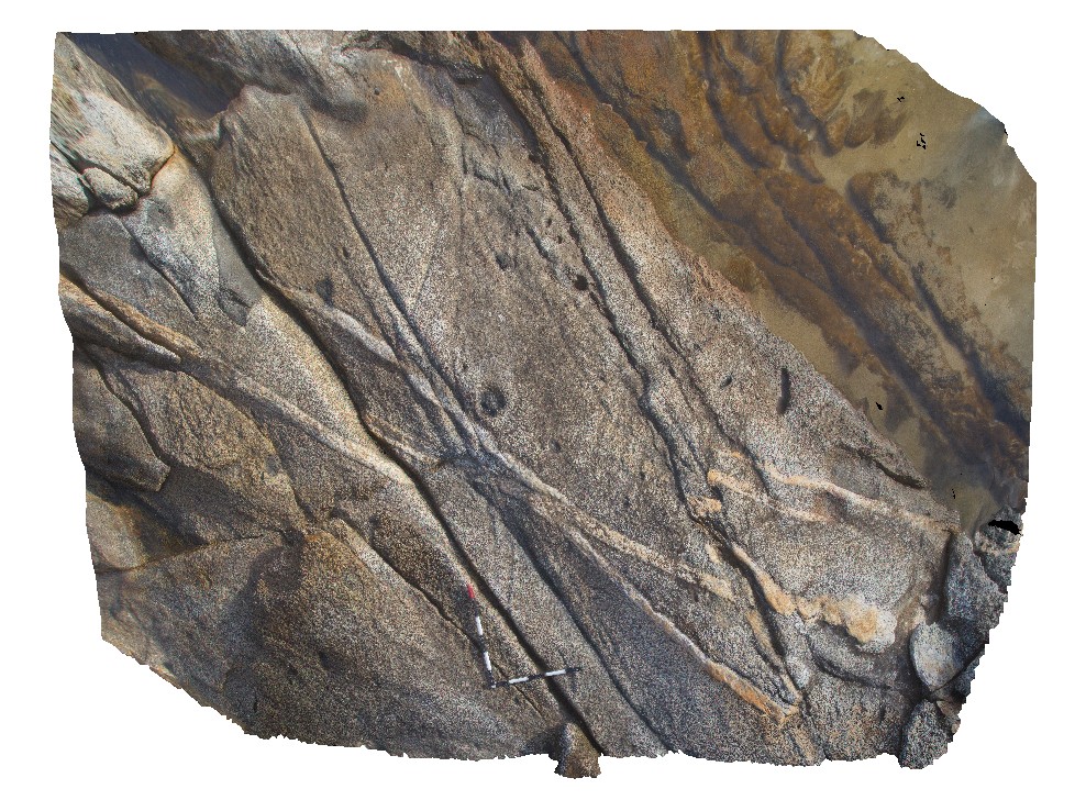
aplite and pegmatite dykes in granite with xenoliths, cut by faults with different apparent sense of offset. Drummond Point. S.A. |
3.50 |
-34.15638000000 |
135.25557000000 |
-9999.000 |
fault, structure, aplite dyke |
granite |
Drummond5 Map
 |
0 |
02/12/2016 12:26 p.m. |
3D |
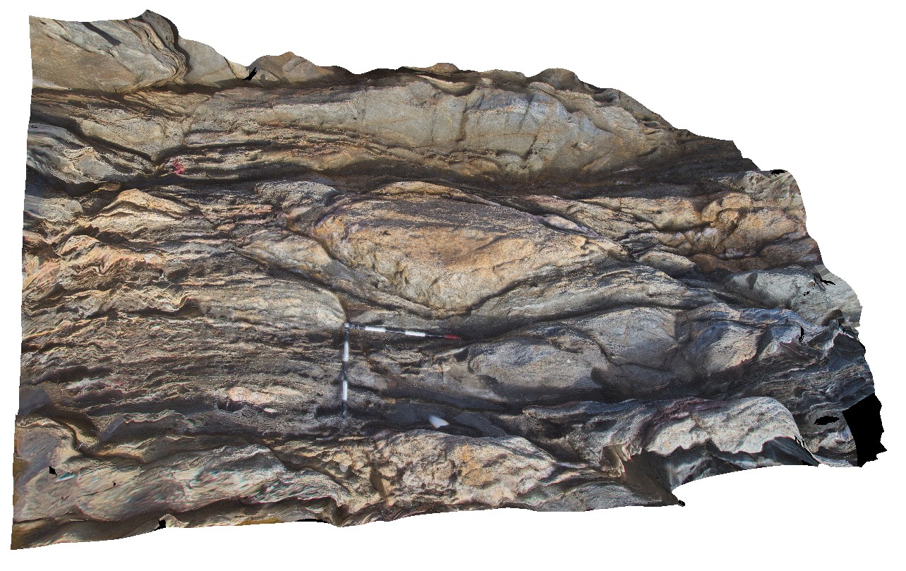
boudin of granite in sheared metasediments / granite. In fault zone, Drummond Point. S.A. |
4.00 |
-34.14120000000 |
135.24864000000 |
-9999.000 |
boudin, shear zone, granite |
granite |
Drummond6 Map
 |
0 |
11/06/2015 9:33 a.m. |
3D |
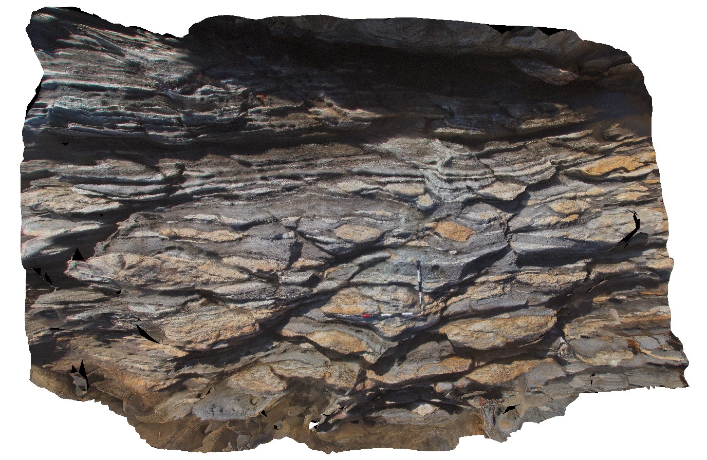
quartz vein and granite boudins in shear zone. Drummond Point. S.A. |
4.25 |
-34.14115000000 |
135.24873000000 |
-9999.000 |
shear zone, granite, quartz vein, boudinage |
granite |
Drummond7 Map
 |
0 |
11/06/2015 9:33 a.m. |
3D |
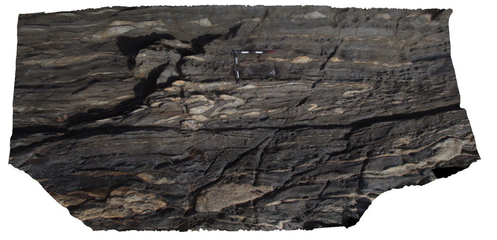
folded granite and quartz veins in shear zone. Drummond Point. S.A. |
6.50 |
-34.14104000000 |
135.24881000000 |
-9999.000 |
shear zone, structure, quartz vein |
granite |
Drummond8 Map
 |
0 |
11/06/2015 9:34 a.m. |
3D |
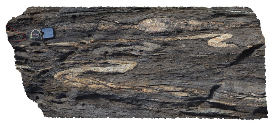
detail of drag folds, boudins and other structural textures in shear zone. Drummond Point. S.A. |
1.00 |
-34.14104000000 |
135.24881000000 |
-9999.000 |
shear zone, boudinage, structure |
granite |
DrummondUAV1 Map
 |
0 |
10/20/2015 4:39 p.m. |
UAV |
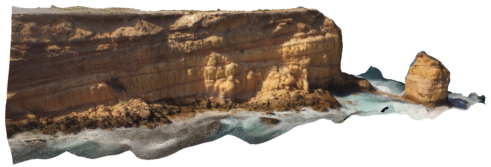
aerial view of unconformity between underlying granites and overlying calcarenite. Drummond Point. S.A. |
100.00 |
-34.01262600000 |
135.26615600000 |
-9999.000 |
calcarenite, unconformity |
calcarenite, granite |
Dudley1 Map
 |
5 |
06/24/2015 2:26 p.m. |
3D |
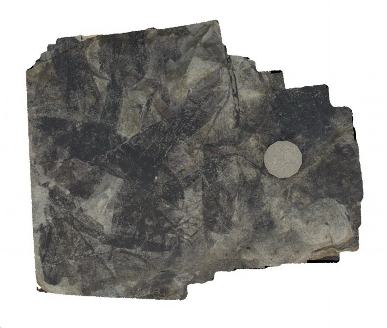
Carbonaceous imprints of glossopteris leaves in a boulder of fine grained sandstone. Dudley Beach, N.S.W. |
0.25 |
-32.96913000000 |
151.73586000000 |
1.000 |
sandstone, glossopteris, fossil, palaeontology |
sandstone |
Dudley10 Map
 |
5 |
07/08/2015 11:32 a.m. |
3D |
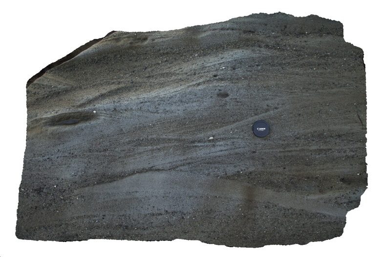
Cross bedded pebbly sandstone in a boulder derived from above the Victoria Tunnel Coal seam. Dudley Beach, N.S.W. |
1.50 |
-32.96835000000 |
151.73734000000 |
1.000 |
pebbly sandstone, cross bedding, sedimentology |
sandstone |
Dudley11 Map
 |
1 |
01/18/2016 11:11 a.m. |
3D |
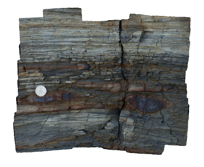
detail of cross bedded pebbly sandstone in a boulder derived from above the Victoria Tunnel Coal seam. . Dudley Beach, N.S.W. |
1.00 |
-32.96896000000 |
151.73647000000 |
-9999.000 |
sandstone, laminated, fluvial sediments, sedimentology |
sandstone |
Dudley12 Map
 |
10 |
07/08/2015 11:34 a.m. |
3D |
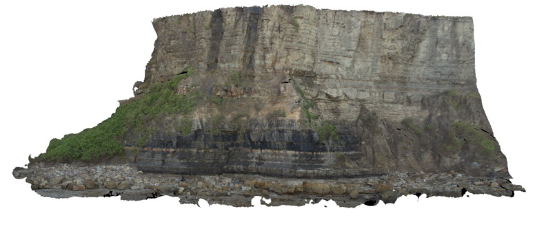
overall view of the Victoria Tunnel Seam, overlying and underlying strata at Dudley Beach. Dudley Beach, N.S.W. |
50.00 |
-32.96913000000 |
151.73642000000 |
2.000 |
coal seam, sedimentology |
coal |
Dudley13 Map
 |
5 |
07/08/2015 11:35 a.m. |
3D |
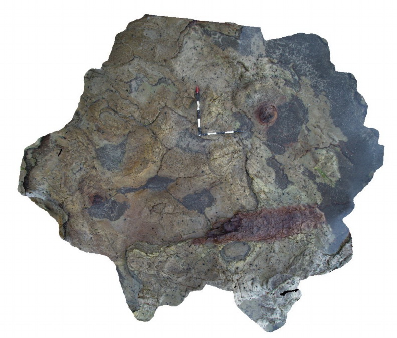
Tree stump and log in Nobbys Tuff? Dudley Beach, N.S.W. |
3.00 |
-32.96920000000 |
151.73642000000 |
0.000 |
petrified tree, tuff, sedimentology, volcanology, fossil, palaeontology |
Tuff |
Dudley14 Map
 |
1 |
07/08/2015 11:37 a.m. |
3D |
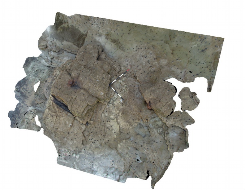
Tree stumps and coalified log in Nobbys Tuff. Dudley Beach, N.S.W. |
4.00 |
-32.96917000000 |
151.73634000000 |
-9999.000 |
tuff, coalified trees, sedimentology, volcanology, palaeontology, fossil |
tuff |
Dudley15 Map
 |
5 |
07/08/2015 11:38 a.m. |
3D |
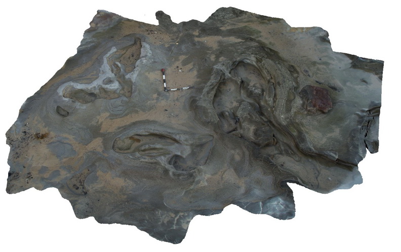
Irregular 'sand wave' bedforms in tuff / tuffaceous sandstone of the Nobbys Tuff. Dudley Beach, N.S.W. |
5.00 |
-32.96955000000 |
151.73512000000 |
0.000 |
tuff, sand waves, sedimentology, volcanology |
tuff |
Dudley16 Map
 |
5 |
01/01/9999 midnight |
3D |
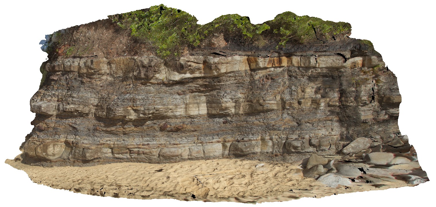
flat-lying floodplain sediments with channels and concretions. Dudley Beach, N.S.W. |
6.00 |
-32.96941000000 |
151.73492000000 |
-9999.000 |
floodplain sediments, channel deposits, concretions |
sediments |
Dudley17 Map
 |
5 |
01/01/9999 midnight |
3D |
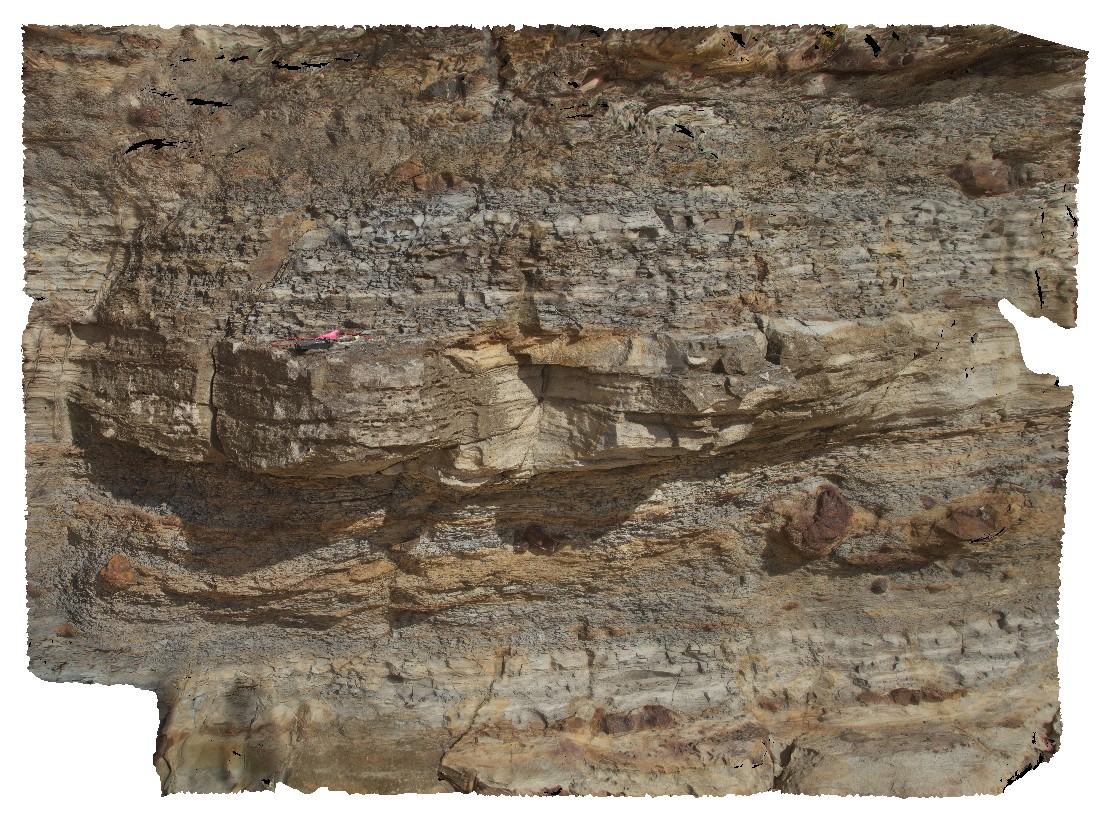
detail of floodplain sediments from site Dudley16, showing thinly layered silt and sandstone layers with concretions. Dudley Beach, N.S.W. |
4.50 |
-32.96941000000 |
151.73492000000 |
-9999.000 |
floodplain sediments, concretions, sedimentology |
siltstone |
Dudley18 Map
 |
5 |
01/01/9999 midnight |
3D |
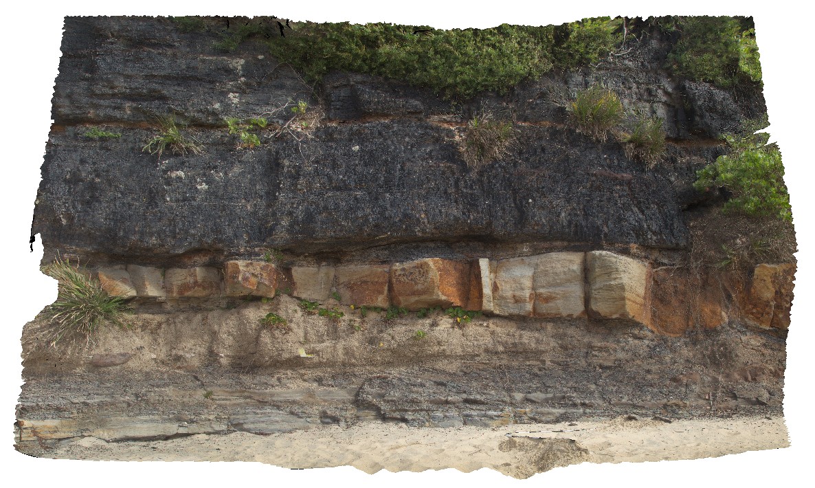
view showing the base of the 'Victoria Tunnel Seam' with floodplain sediments and channels. Dudley Beach, N.S.W. |
4.00 |
-32.97065000000 |
151.73265000000 |
-9999.000 |
Victoria Tunnel Coal Seam, floodplain sediments, channel, sedimentology |
coal |
Dudley19 Map
 |
5 |
01/01/9999 midnight |
3D |
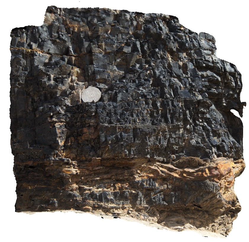
detail of the base of the Victoria Tunnel coal seam, showing clasts in coal and coal stringers below the seam. Dudley Beach, N.S.W. |
0.50 |
-32.97065000000 |
151.73265000000 |
-9999.000 |
coal seam, clast, sedimentology |
coal |
Dudley2 Map
 |
5 |
06/24/2015 4:39 p.m. |
3D |
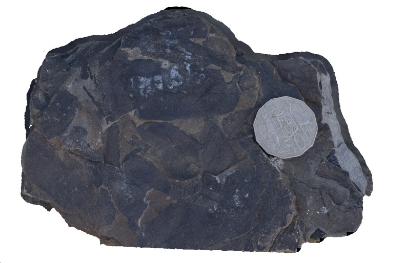
glossopteris fossils in carbonaceous sandstone. Dudley Beach, N.S.W. |
0.20 |
-32.96913000000 |
151.73586000000 |
1.000 |
fossil, glossopteris, sandstone, palaeontology |
sandstone |
Dudley3 Map
 |
5 |
06/25/2015 3:46 p.m. |
3D |
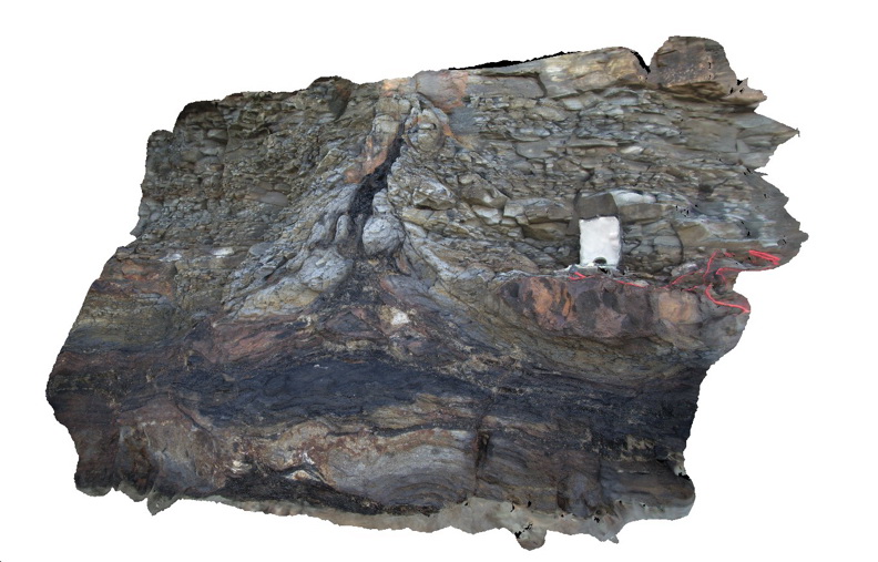
coalified tree in growth position in tuffaceous? Sediments immediately beneath the Victoria Tunnel Seam. Dudley Beach, N.S.W. |
1.50 |
-32.96910000000 |
151.73630000000 |
1.000 |
coalified tree, tuffaceous sandstone, sedimentology, palaeontology, fossil, tree |
sandstone |
Dudley4 Map
 |
5 |
06/26/2015 12:09 p.m. |
3D |
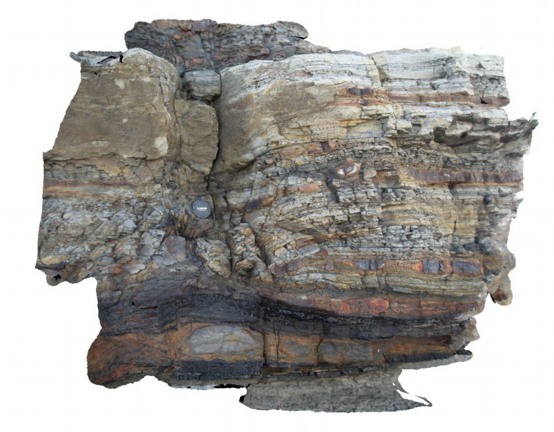
Floodplain sediments with cross beds, concretions, thin coal plies and an in situ coalified log immediately below the Victoria Tunnel Coal Seam. Dudley Beach, N.S.W. |
1.50 |
-32.96904000000 |
151.73645000000 |
2.000 |
sandstone, siltstone, concretions, coal, floodplain, sedimentology, coalified stump, cross bedding, fossil |
sandstone, coal |
Dudley5 Map
 |
5 |
07/08/2015 11:28 a.m. |
3D |
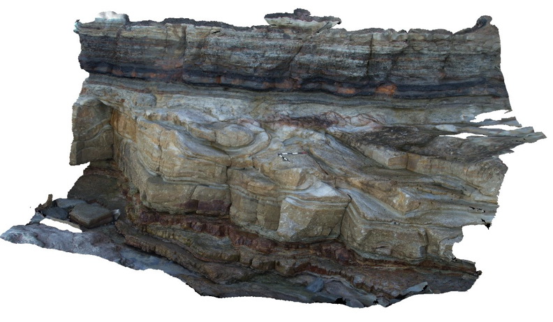
reworked tuffaceous? Sandstone unit with irregular large scale bedforms underlying floodplain sediments immediately below the Victoria Tunnel Seam. Dudley Beach, N.S.W. |
10.00 |
-32.96921000000 |
151.73651000000 |
1.000 |
tuffaceous sandstone, coal, floodplain, sedimentology |
sandstone, coal, sandstone |
Dudley6 Map
 |
1 |
09/09/2015 8:35 a.m. |
3D |
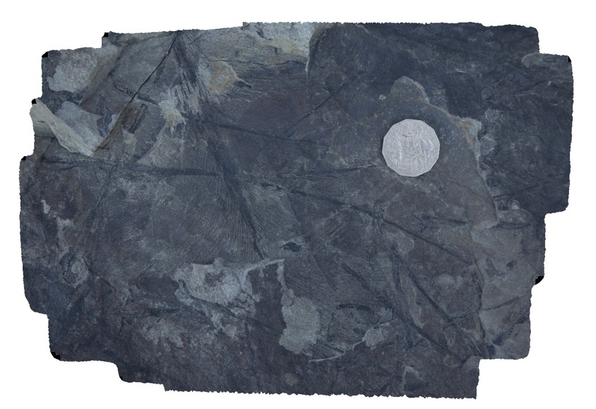
leaf fossils in fine grained sandstone. Dudley Beach, N.S.W. |
0.30 |
-32.96874000000 |
151.73665000000 |
-9999.000 |
leaf, fossil, palaeontology |
sandstone |


