Mitchell9 Map
 |
0 |
06/08/2016 noon |
3D |
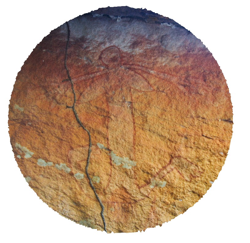
rock art at the Little Mertens Waterfall. Mitchell Falls, Mitchell River, Kimberley. W.A. |
0.00 |
-14.82103000000 |
125.69504000000 |
-9999.000 |
rock art, sandstone, Mitchell Falls |
sandstone |
MitchellFSP1 Map
 |
0 |
06/08/2016 noon |
FSP |
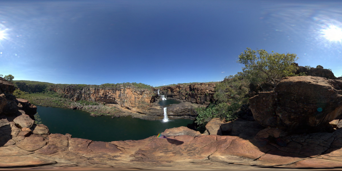
overview of Mitchell Falls, Mitchell River, Kimberley. W.A. |
500.00 |
-14.82099000000 |
125.69604000000 |
-9999.000 |
Mitchell Falls, waterfall, sedimentology |
sandstone |
MitchellFSP2 Map
 |
0 |
06/08/2016 noon |
FSP |
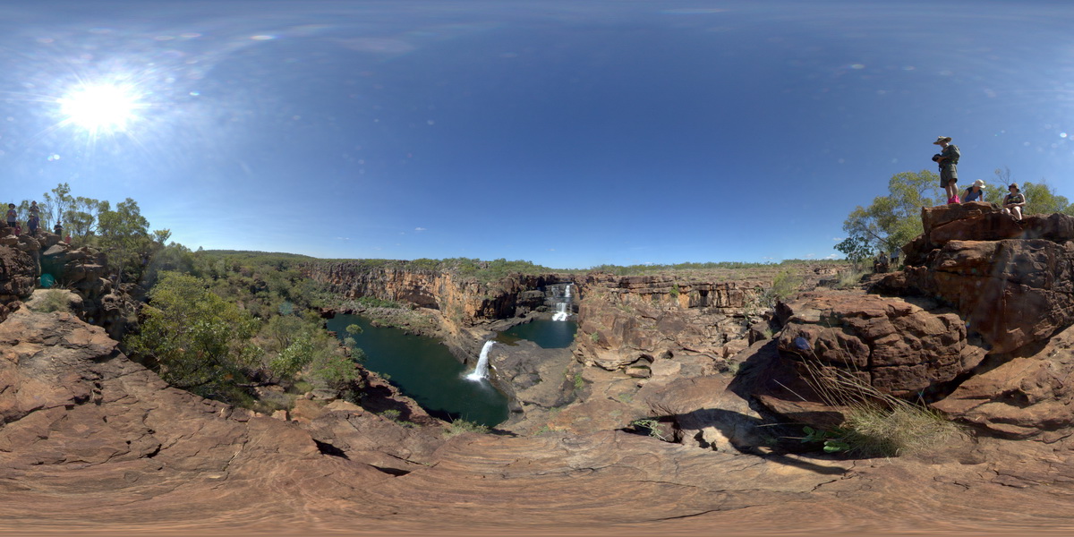
overview of Mitchell Falls, Mitchell River, Kimberley. W.A. |
500.00 |
-14.82100000000 |
125.69520000000 |
-9999.000 |
Mitchell Falls, waterfall, sandstone |
sandstone |
MitchellFSP3 Map
 |
0 |
06/08/2016 noon |
FSP |
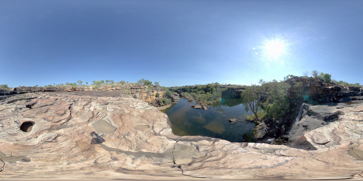
view looking downstream from Mitchell Falls, Mitchell River, Kimberley. W.A. |
500.00 |
-14.67411000000 |
125.73240000000 |
-9999.000 |
bedding, sandstone, Mitchell Falls |
sandstone |
MitchellFSP4 Map
 |
0 |
06/08/2016 noon |
FSP |
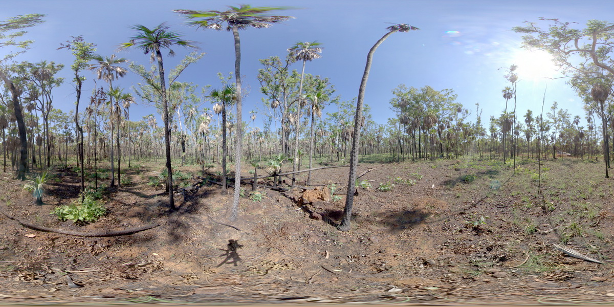
View of vegetation developed over Mitchell Plateau laterite, showing a classic geobotanical association. Mitchell Plateau, W.A. |
300.00 |
-14.83924000000 |
125.87507000000 |
-9999.000 |
Mitchell Plateau, laterite, Bauxite, weathering |
laterite |
MitchellGIGa1 Map
 |
0 |
06/08/2016 noon |
GIGA |
Port Warrender Road, Kimberley. W.A. |
0.00 |
-14.56782000000 |
125.84389000000 |
-9999.000 |
|
|
MountNyulasy1 Map
 |
0 |
01/01/9999 midnight |
3D |
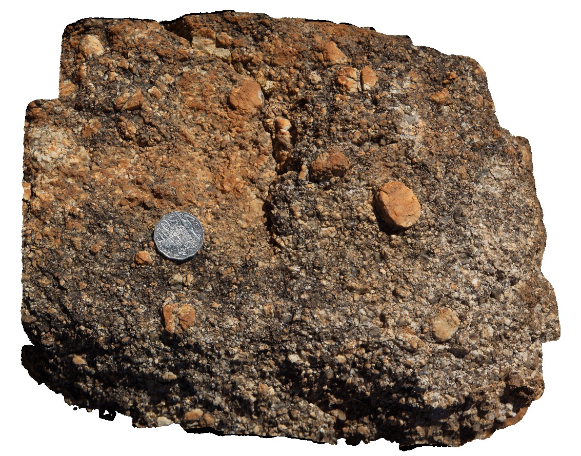
weathered surface of rapakivi textured granite. Near Mount Nyulasy. Great Northern Highway, W.A. |
0.30 |
-16.74412000000 |
128.28265000000 |
-9999.000 |
rapakivi texture, Mount Nyulasy Granite, weathered surface |
granite |
MountNyulasy2 Map
 |
0 |
01/01/9999 midnight |
3D |
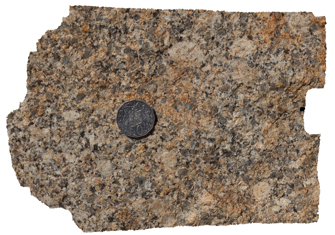
fresh surface of rapakivi textured granite. Near Mount Nyulasy. Great Northern Highway, W.A. |
0.25 |
-16.74403000000 |
128.28258000000 |
-9999.000 |
rapakivi texture, Mount Nyulasy Granite |
granite |
MountNyulasy3 Map
 |
0 |
01/01/9999 midnight |
3D |
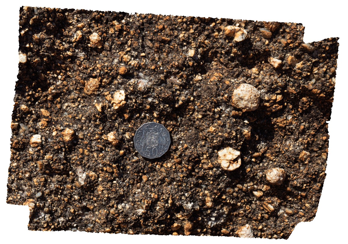
macro view of weathered surface of rapakivi textured granite. Near Mount Nyulasy. Great Northern Highway, W.A. |
0.20 |
-16.74403000000 |
128.28270000000 |
-9999.000 |
rapakivi texture, Mount Nyulasy Granite |
granite |
MtBlair1 Map
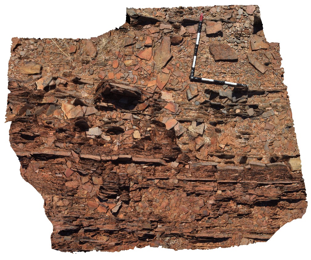 |
0 |
05/28/2016 noon |
3D |
steeply dipping siltstone and very fine-grained sandstone with prominent bedding cleavage. Near Mount Blair on the Ashburton - Meekatharra Road, W.A. |
2.70 |
-23.45285000000 |
117.13874000000 |
-9999.000 |
bedding cleavage, siltstone, structure |
siltstone |
MtBlair2 Map
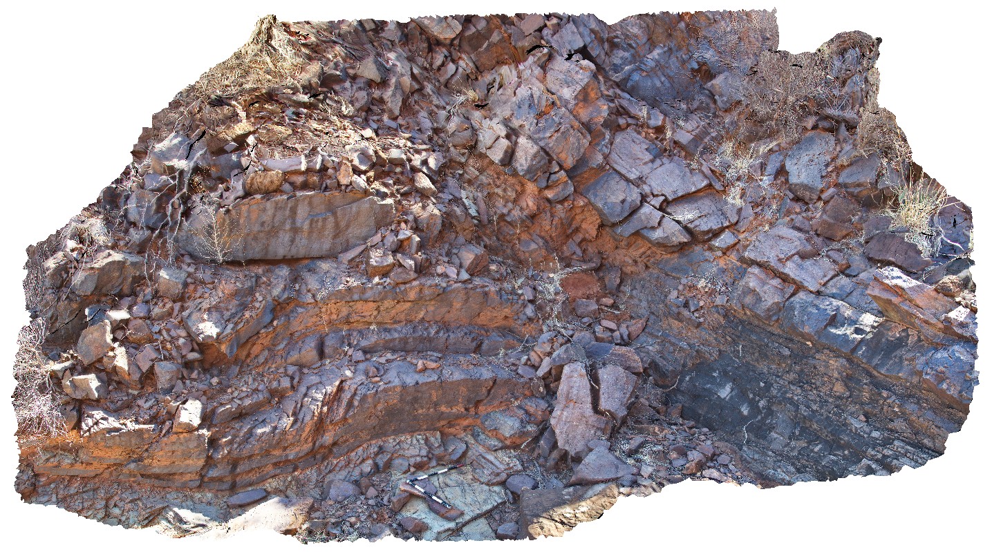 |
0 |
05/28/2016 noon |
3D |
detail of the angular Ashburton-Capricorn unconformity, with open folds in the Ashburton rocks. Near Mount Blair on the Ashburton - Meekatharra Road, W.A. |
5.00 |
-23.44297000000 |
117.13130000000 |
-9999.000 |
angular unconformity, folds |
siltstone, siltstone |
MtBlairUAV1 Map
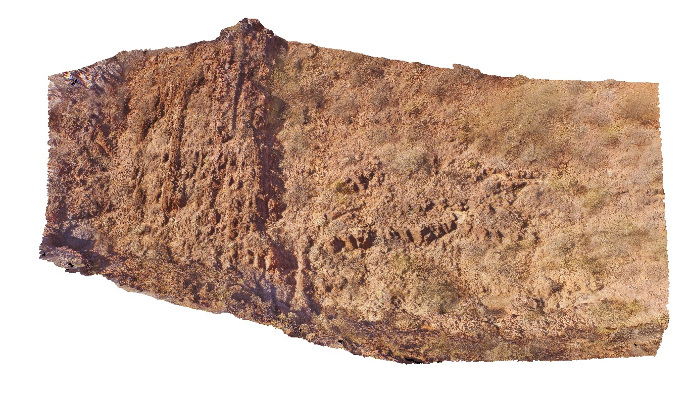 |
0 |
05/28/2016 noon |
UAV |
angular Ashburton-Capricorn unconformity, with open folds in the Ashburton rocks. Near Mount Blair on the Ashburton - Meekatharra Road, W.A. |
0.00 |
-23.44284800000 |
117.13132500000 |
-9999.000 |
angular unconformity, Ashburton-Capricorn unconformity |
siltstone, siltstone |
MtBonnie1 Map
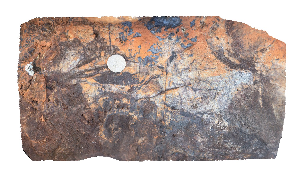 |
0 |
06/23/2016 noon |
3D |
Fe-oxide stockwork veins in a metasomatised quartzite. Mount Bonnie gold field. Grove Hill road, off Stuart Highway, N.T. |
0.40 |
-13.57147000000 |
131.51778000000 |
-9999.000 |
quartz stockwork vein, quartzite, gold field |
quartzite |
MtBonnie2 Map
 |
0 |
06/23/2016 noon |
3D |
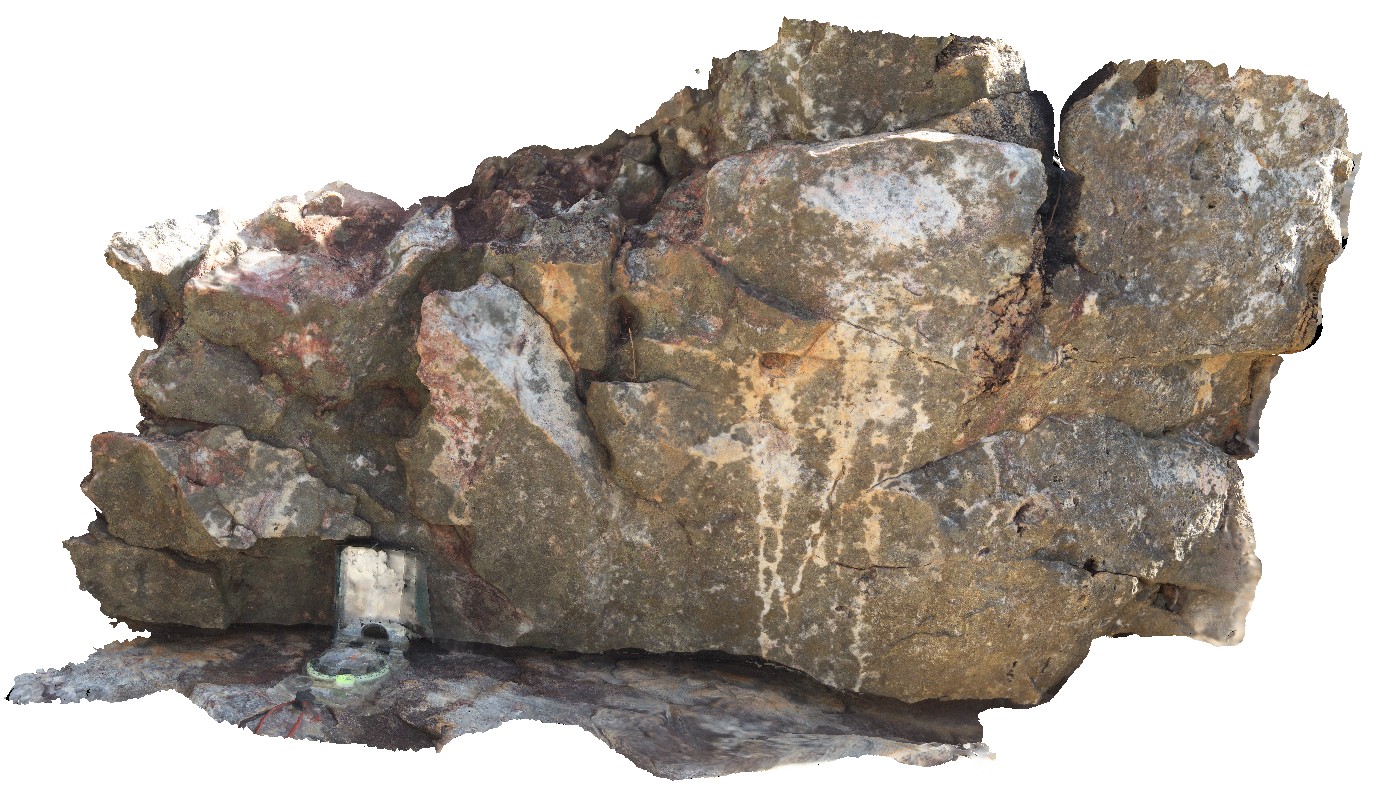
green and white banded to patchy alteration and red (hematite?) alteration near quartz veins. Quartz-filled cavity. Mount Bonnie gold field. Grove Hill road, off Stuart Highway, N.T. |
1.00 |
-13.57035000000 |
131.51720000000 |
-9999.000 |
alteration, quartz stockwork veins |
quartzite |
MtBruce1 Map
 |
0 |
05/29/2016 noon |
3D |
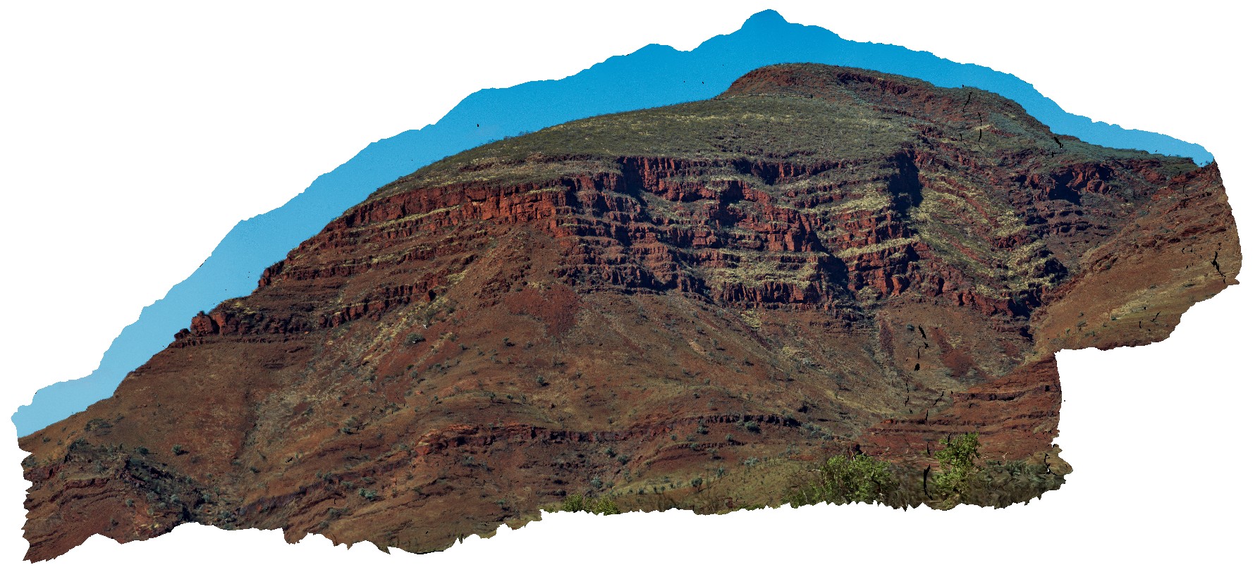
view of the stratigraphy of Mount Bruce. Exposed core of synform with the Brockman Iron Formation and Mount McRae Shale and Mount Sylvia Formations. Openly folded, gently dipping stratigraphy. Mount Bruce, Pilbara, W.A. |
1000.00 |
-22.57421700000 |
118.13826800000 |
-9999.000 |
Mount Bruce, Pilbara, fold, open fold |
BIF, shale |
MtBruce2 Map
 |
0 |
05/29/2016 noon |
3D |
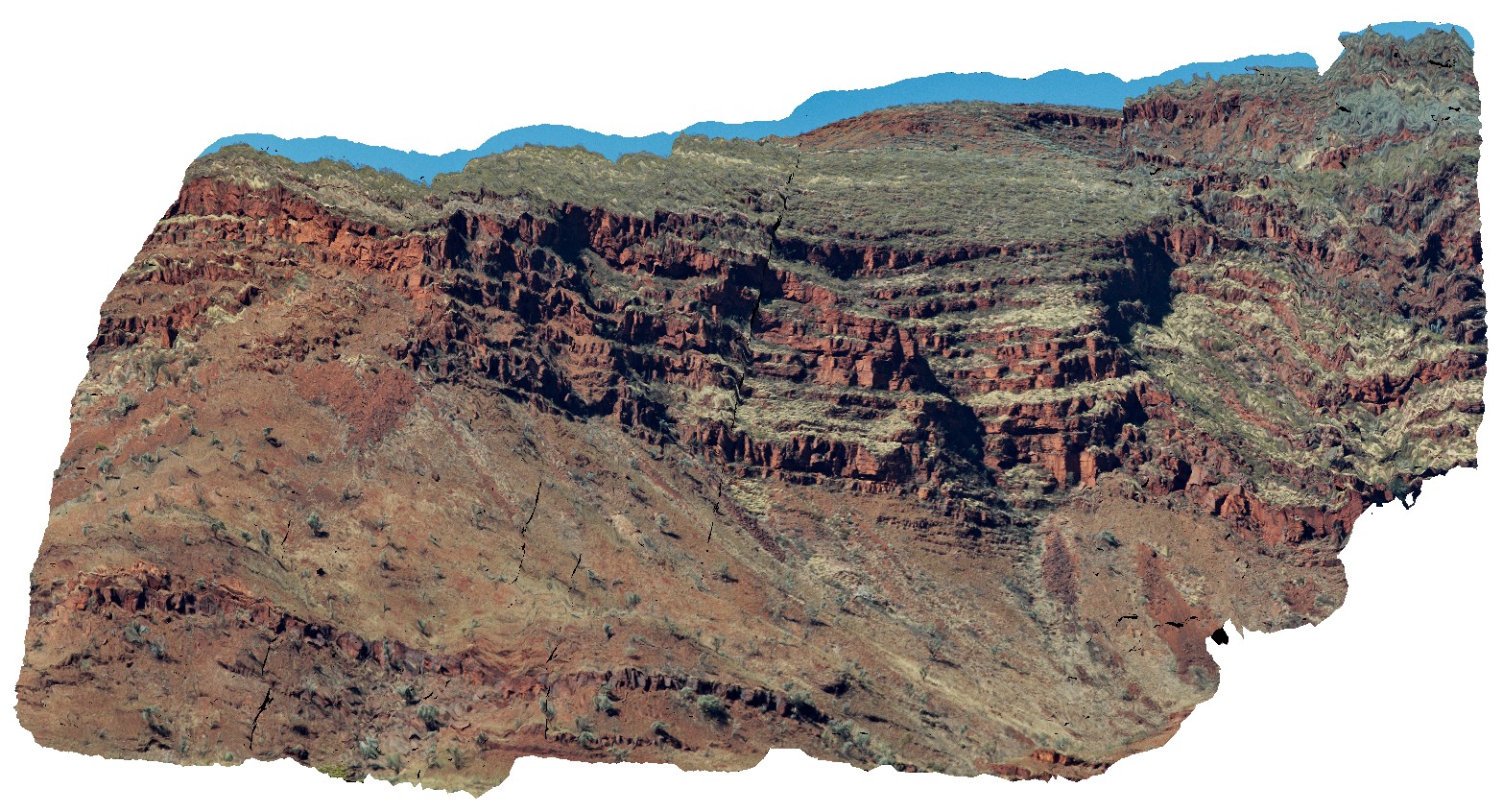
view of the stratigraphy of Mount Bruce. Exposed core of synform with the Brockman Iron Formation and Mount McRae Shale and Mount Sylvia Formations. Openly folded, gently dipping stratigraphy. Mount Bruce, Pilbara, W.A. |
1000.00 |
-22.57421700000 |
118.13826800000 |
-9999.000 |
Mount Bruce, open folds, monocline, structure, stratigraphy |
BIF, shale |
MtGambier1 Map
 |
0 |
06/05/2016 10:47 a.m. |
3D |
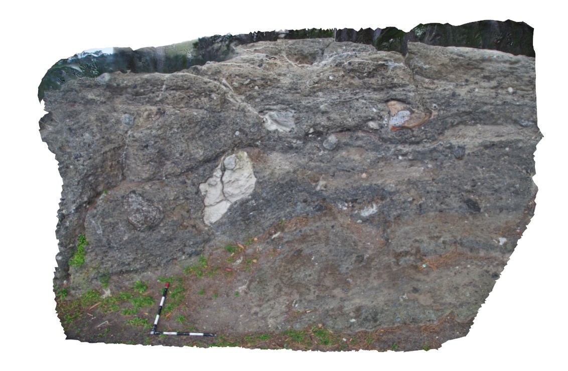
view of volcanic deposits with large blocks of limestone and basalt. Mount Gambier, S.A. |
4.00 |
-37.84322000000 |
140.77348000000 |
-9999.000 |
volcanics |
igneous, limestone |
MtGambier2 Map
 |
0 |
06/05/2016 10:47 a.m. |
3D |
irregular tuff layers, draping over a paleo topographic feature. Mount Gambier, S.A. |
8.00 |
-37.85091000000 |
140.77591000000 |
-9999.000 |
tuff, volcanics |
tuff |
MtGambier3 Map
 |
0 |
06/05/2016 10:47 a.m. |
3D |
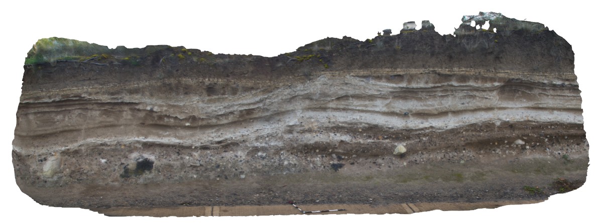
view of tuff deposit layering and overlying soil profile. Mount Gambier, S.A. |
5.00 |
-37.85133000000 |
140.77747000000 |
-9999.000 |
tuff, soil horizon |
tuff, soil |
MtGambier4 Map
 |
0 |
06/05/2016 10:48 a.m. |
3D |
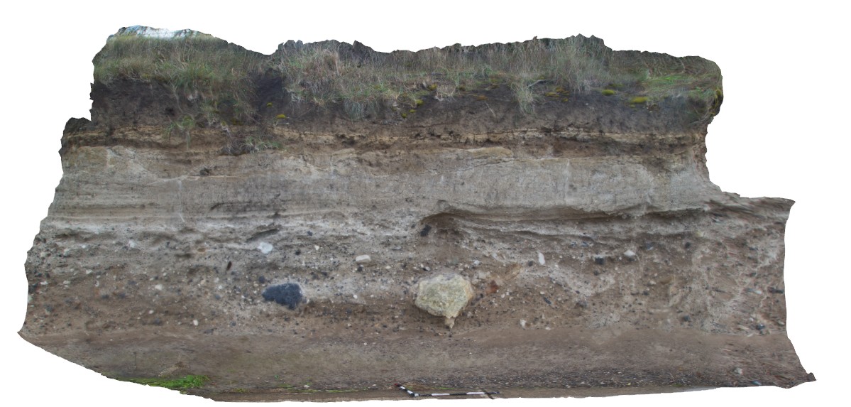
view of tuff beds, with finer tuff overlying coarse-grained layer with volcanic bombs of limestone and basalt. Mount Gambier, S.A. |
4.00 |
-37.85136000000 |
140.77776000000 |
-9999.000 |
tuff, volcanic bomb |
tuff |
MtGambierFSP1 Map
 |
0 |
06/05/2016 10:48 a.m. |
FSP |
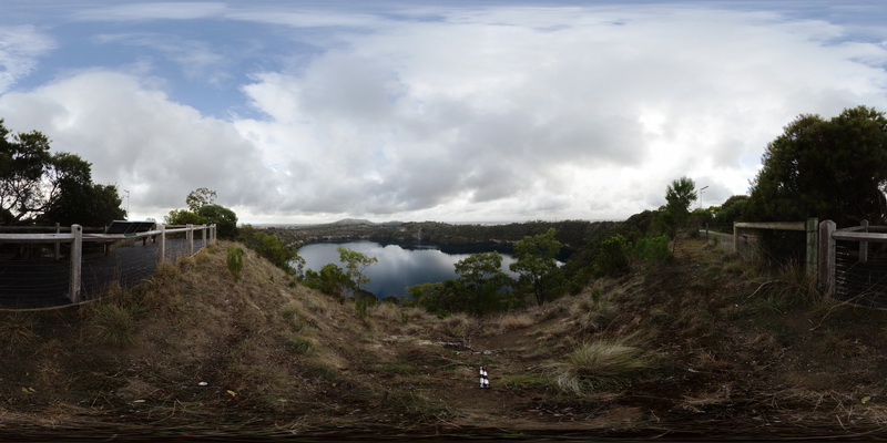
view from Blue Lake lookout, showing view of the volcanic crater forming Blue Lake and surrounding country side. Mount Gambier, S.A. |
3000.00 |
-37.85010000000 |
140.78181000000 |
-9999.000 |
Volcanic Centre, crater |
igneous |
MtGipps1 Map
 |
0 |
06/25/2016 noon |
3D |
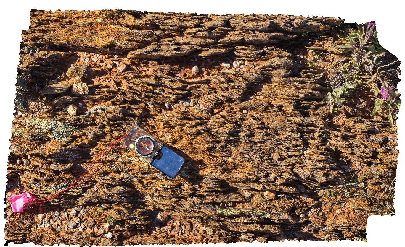
shear bands in retrograde schist in Adelaidean Rocks, Mount Gipps, N.S.W. |
0.90 |
-31.61300000000 |
141.53064000000 |
-9999.000 |
retrograde schist, metamorphic, metasediment, structure, shear band |
schist |
MtGipps10 Map
 |
0 |
06/27/2016 noon |
3D |
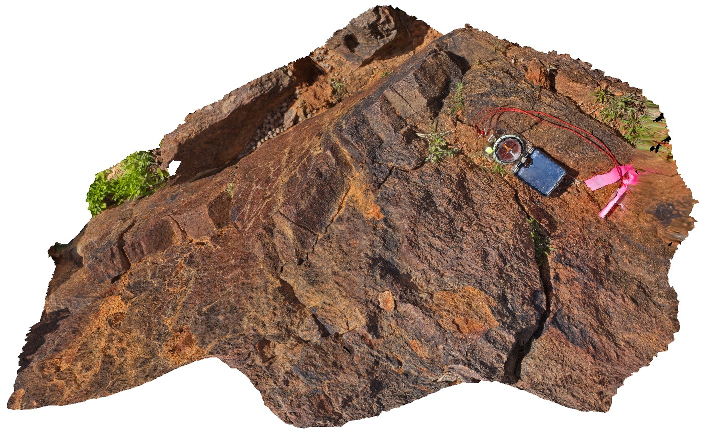
metasediments. Mount Gipps, N.S.W. |
0.90 |
-31.61617000000 |
141.49986000000 |
-9999.000 |
metasediment |
metasediment |
MtGipps11 Map
 |
0 |
06/27/2016 noon |
3D |
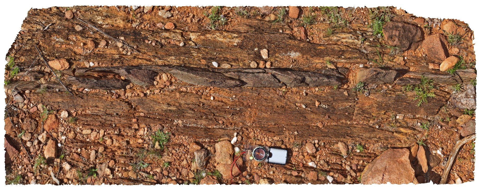
metasediments. Mount Gipps, N.S.W. |
1.60 |
-31.61652000000 |
141.49942000000 |
-9999.000 |
metasediments |
metasediments |
MtGipps12 Map
 |
0 |
06/27/2016 noon |
3D |
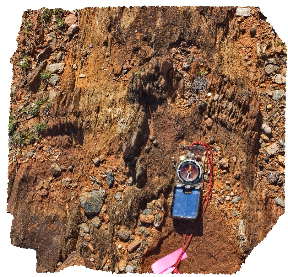
metasediments. Mount Gipps, N.S.W. |
0.60 |
-31.61663000000 |
141.49944000000 |
-9999.000 |
metasediment |
metasediment |


